
Whirlpool Point
View Photos
Whirlpool Point
Difficulty Rating:
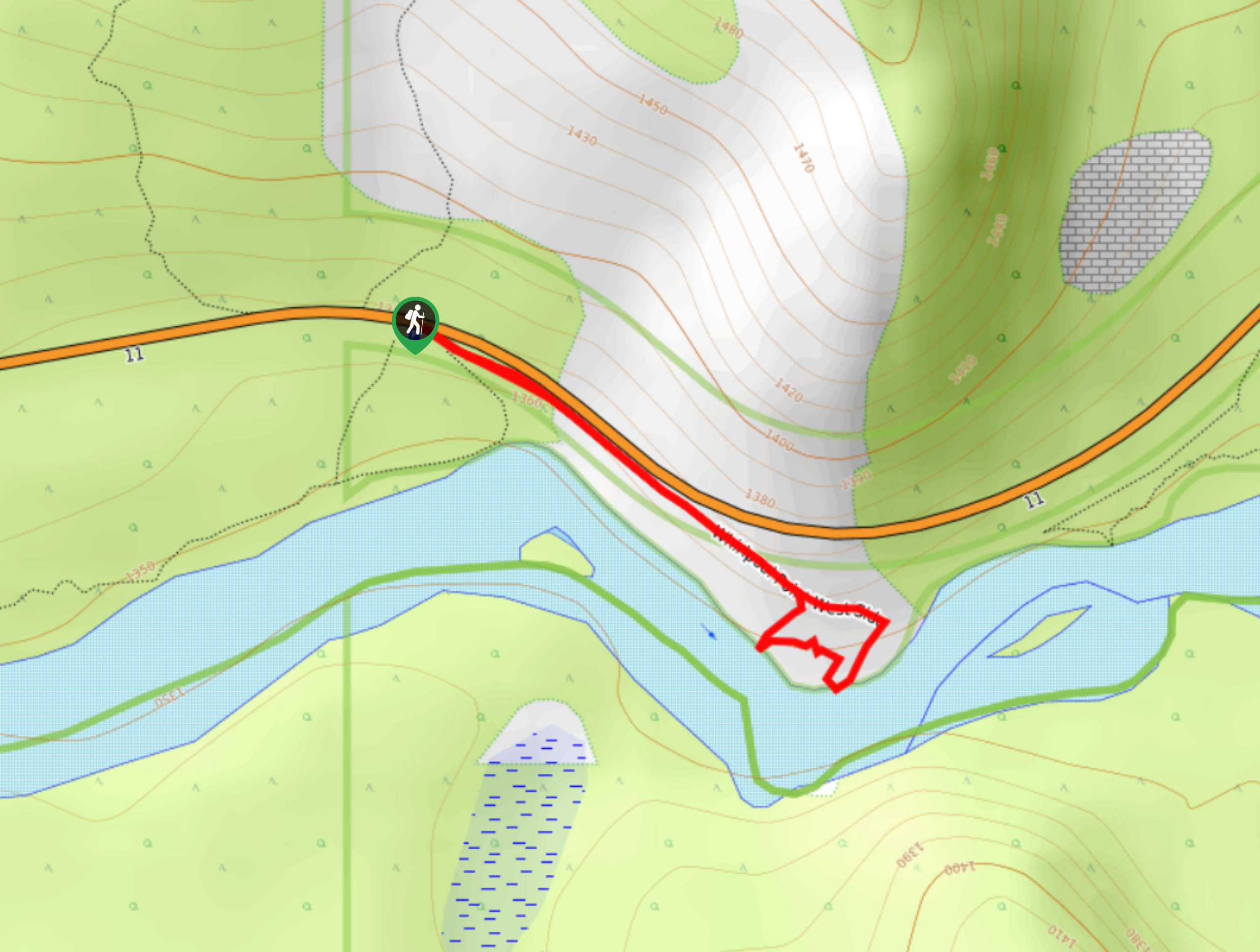
The hike to Whirlpool Point is a beautiful stroll up the North Saskatchewan River. The trail is close to Saskatchewan River Crossing, making it a great stop when driving the Icefields Parkway or camping along Abraham Lake. The trail follows the North Saskatchewan River to a viewpoint located 2133ft from the trailhead.
Getting there
To get to Whirlpool Point Trail, travel 12.4mi eastbound on the David Thompson Highway from Saskatchewan River Crossing. Turn right into the Whirlpool Point parking area.

About
| When to do | May–October |
| Backcountry Campsites | No |
| Pets allowed | Yes |
| Family friendly | Yes |
| Route Signage | Average |
| Crowd Levels | Moderate |
| Route Type | Lollipop |
Whirlpool Point
Elevation Graph
Weather
Whirlpool Point Hike Trail Description:
Whirlpool Point is a lollipop trail that heads out to an incredible viewpoint over the North Saskatchewan River. The route is accessible to all abilities and leads hikers to a memorable view in the first 2133ft. The viewpoint makes a small loop back to the main trail before returning to the parking area.
Similar hikes to the Whirlpool Point hike
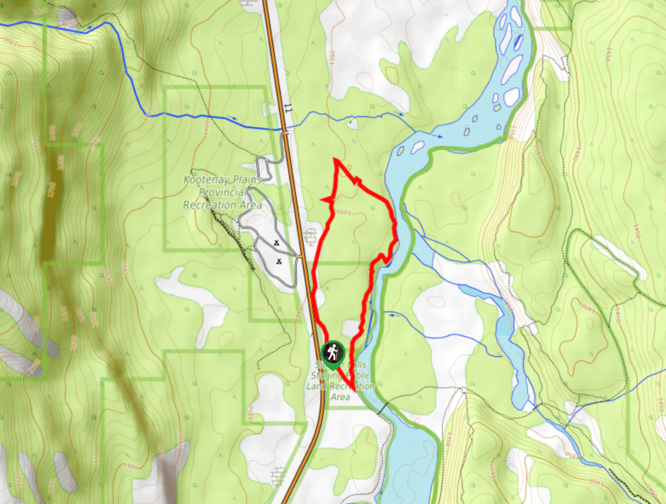
Kootenay Plains Heritage Trail
Take in some history on the Kootenay Plains Heritage Trail. The trail travels through the ecological preserve and passes by…
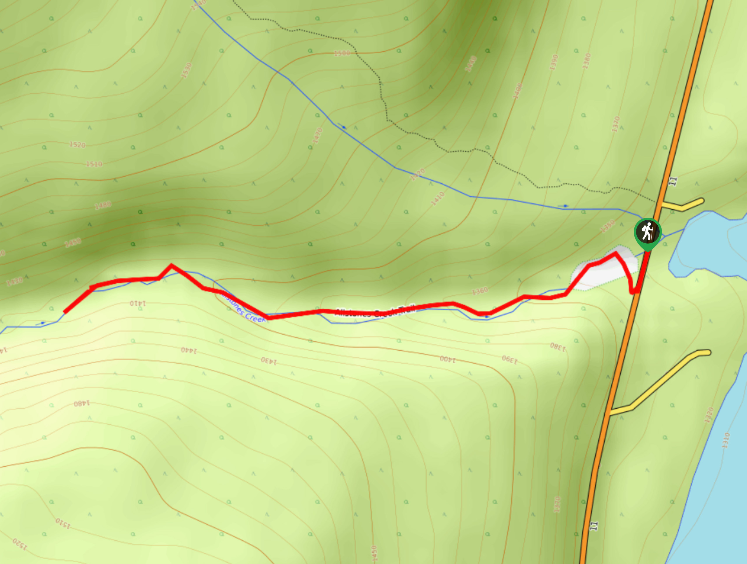
Allstones Creek Trail
Allstones Creek Trail is an out-and-back hike for all abilities. It’s flat, easy, and doesn’t cover much distance. If you…
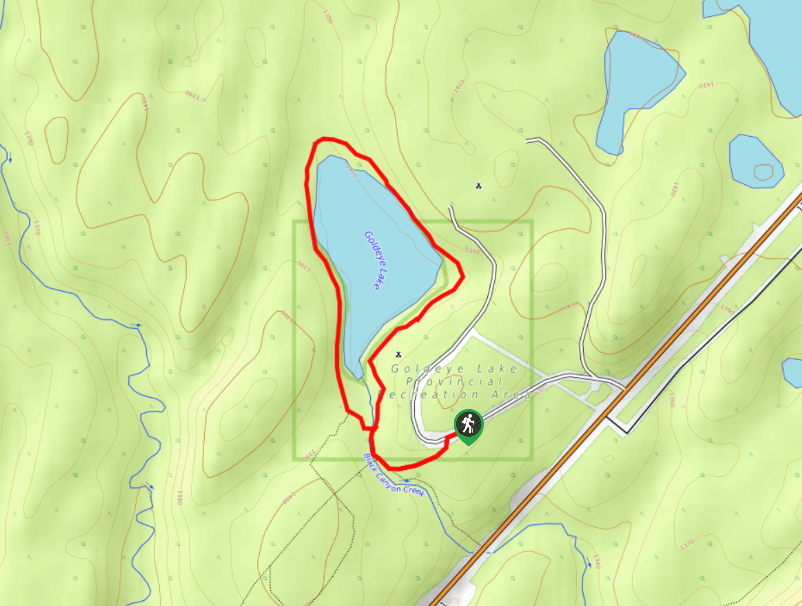
Goldeye Lake Trail
Across the highway from popular Fish Lake, Goldeye Lake sees less traffic and offers a beautiful trail that wraps around…
Comments