
Allstones Creek Trail
View Photos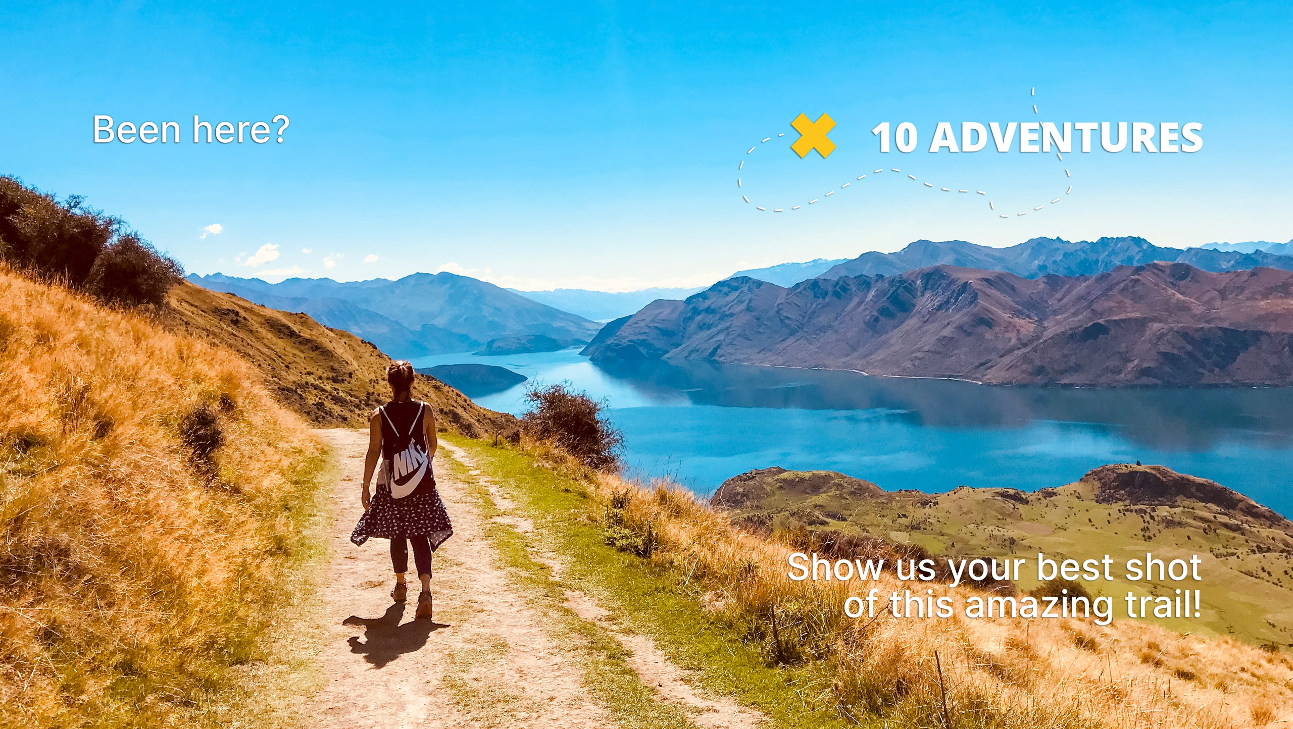
Allstones Creek Trail
Difficulty Rating:
Allstones Creek Trail is an out-and-back hike for all abilities. It’s flat, easy, and doesn’t cover much distance. If you have young children or want to stretch your legs to break from a long drive, hiking up the creek is perfect for you. It isn’t much of an investment but has great rewards.
Getting there
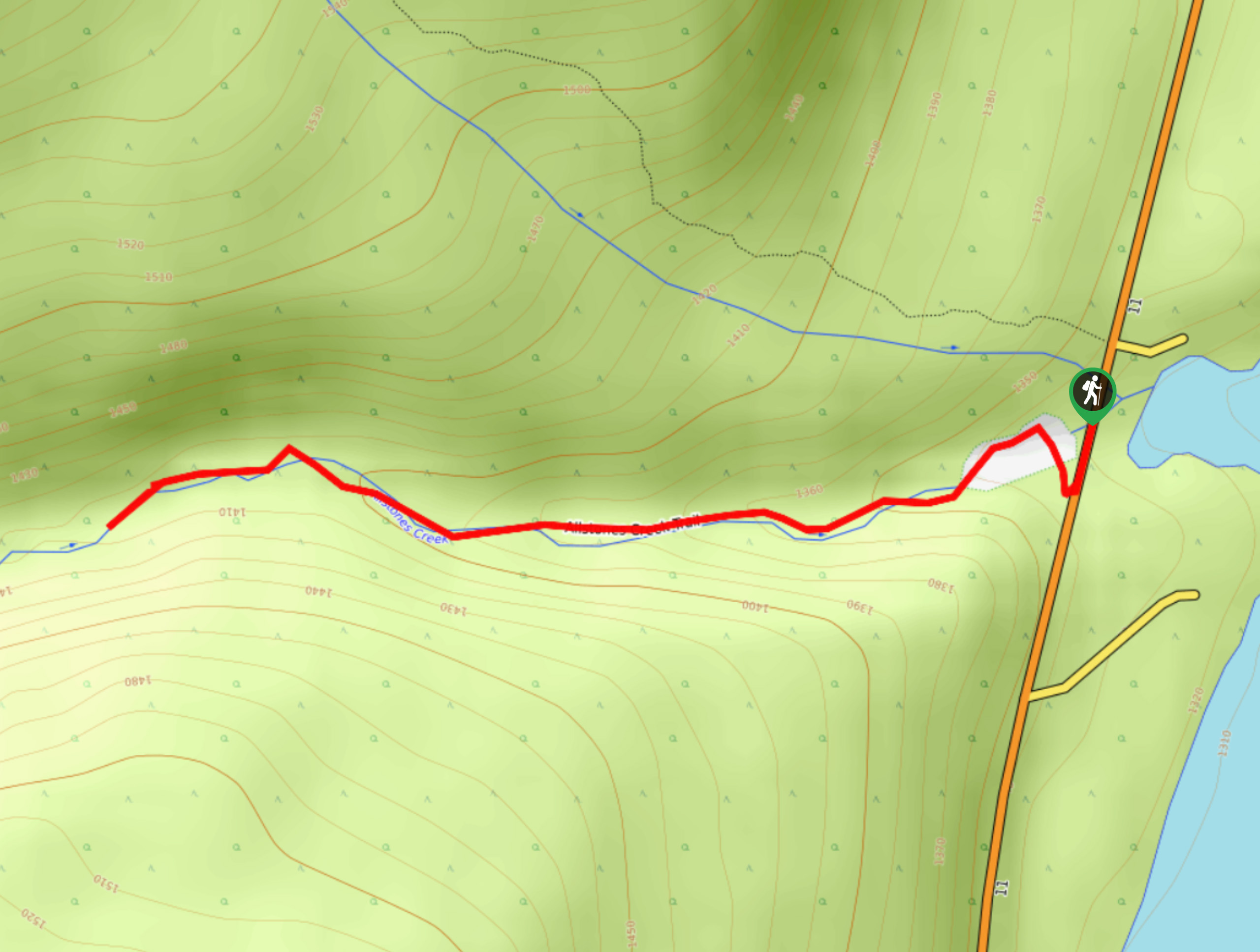
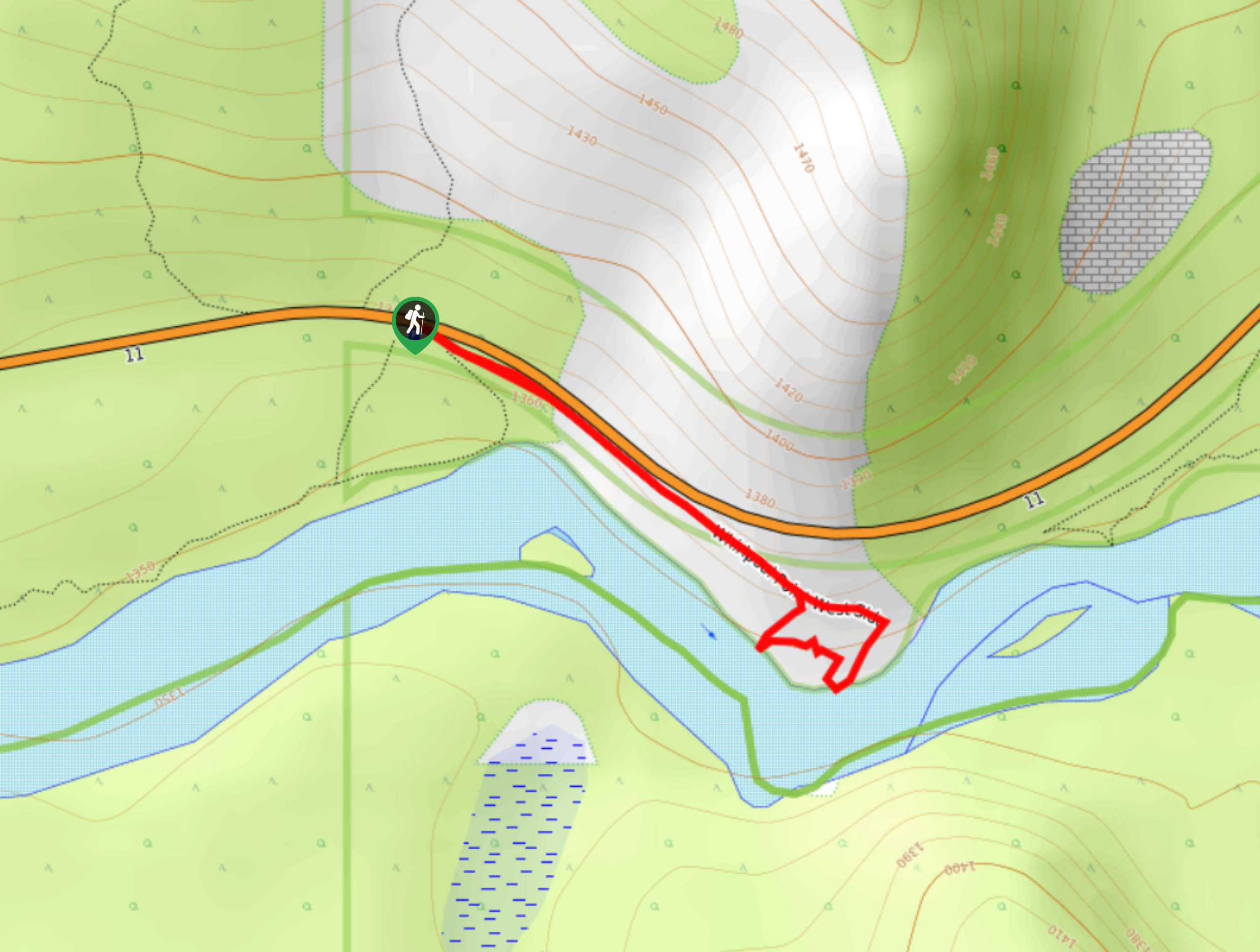
To get to Allstones Creek trailhead, drive from Saskatchewan River Crossing along Highway 11 for 31.1mi before pulling over to park along the road for Allstones Creek.

About
| When to do | May–September |
| Backcountry Campsites | No |
| Pets allowed | Yes |
| Family friendly | Yes |
| Route Signage | Average |
| Crowd Levels | Moderate |
| Route Type | Out and back |
Allstones Creek Trail
Elevation Graph
Weather
Allstones Creek Trail Description
Cross the highway from where you pulled over and look for a trail in the woods leading to Allstones Creek. Follow the creek from the flood culvert all the way upstream until you reach a small waterfall. This is your turnaround point and makes a great spot for a break before heading back. This trail isn’t very well-maintained and requires a little bit of adventure.
Similar hikes to the Allstones Creek Trail hike
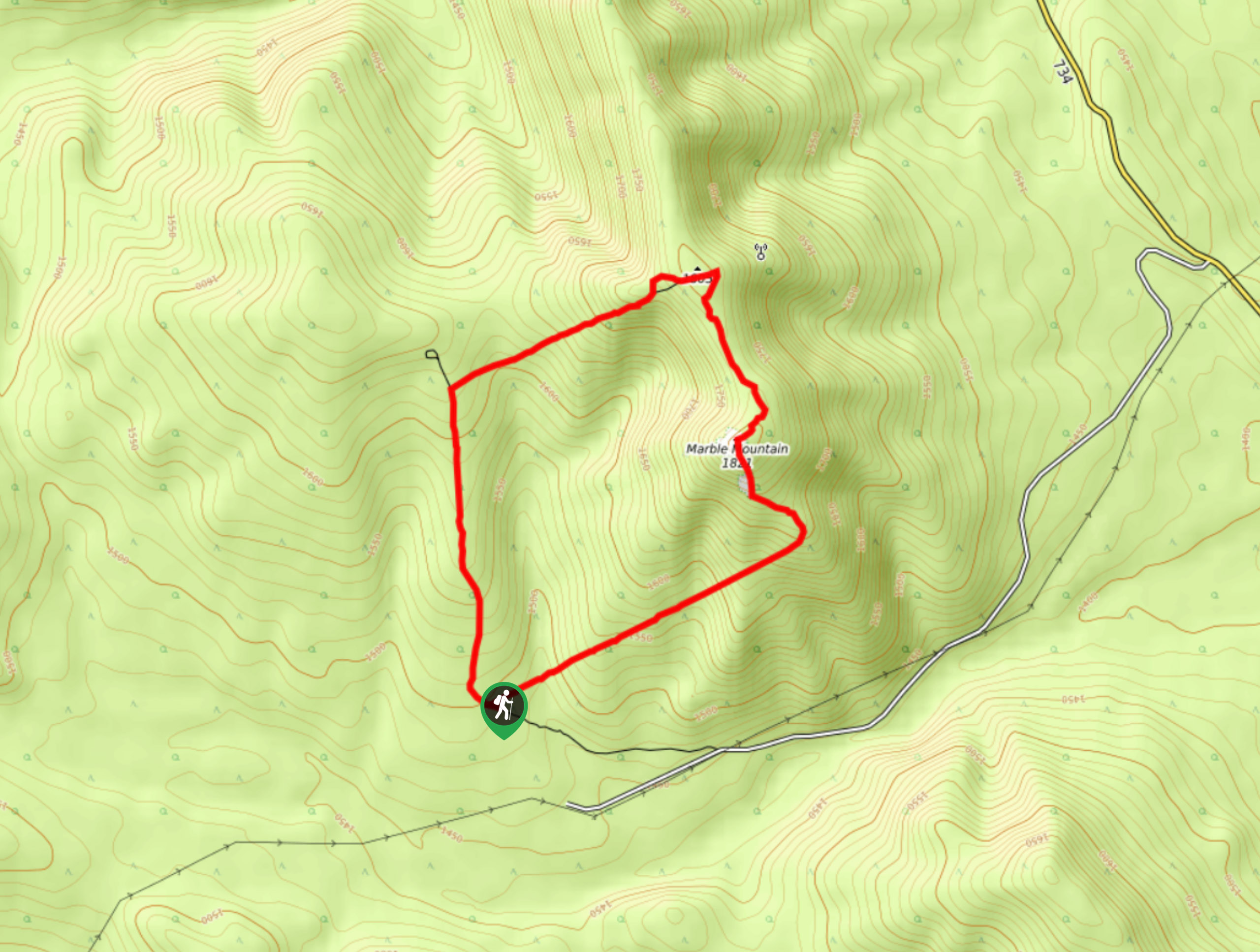
Marble Mountain Hike
Getting to the Marble Mountain trailhead can be tricky and out of the way, but this remote trail is sure…
Paula’s Ridge Hike
Paula’s Ridge Hike is just east of Mount Abraham and offers incredible views of Abraham Lake. If you are looking…
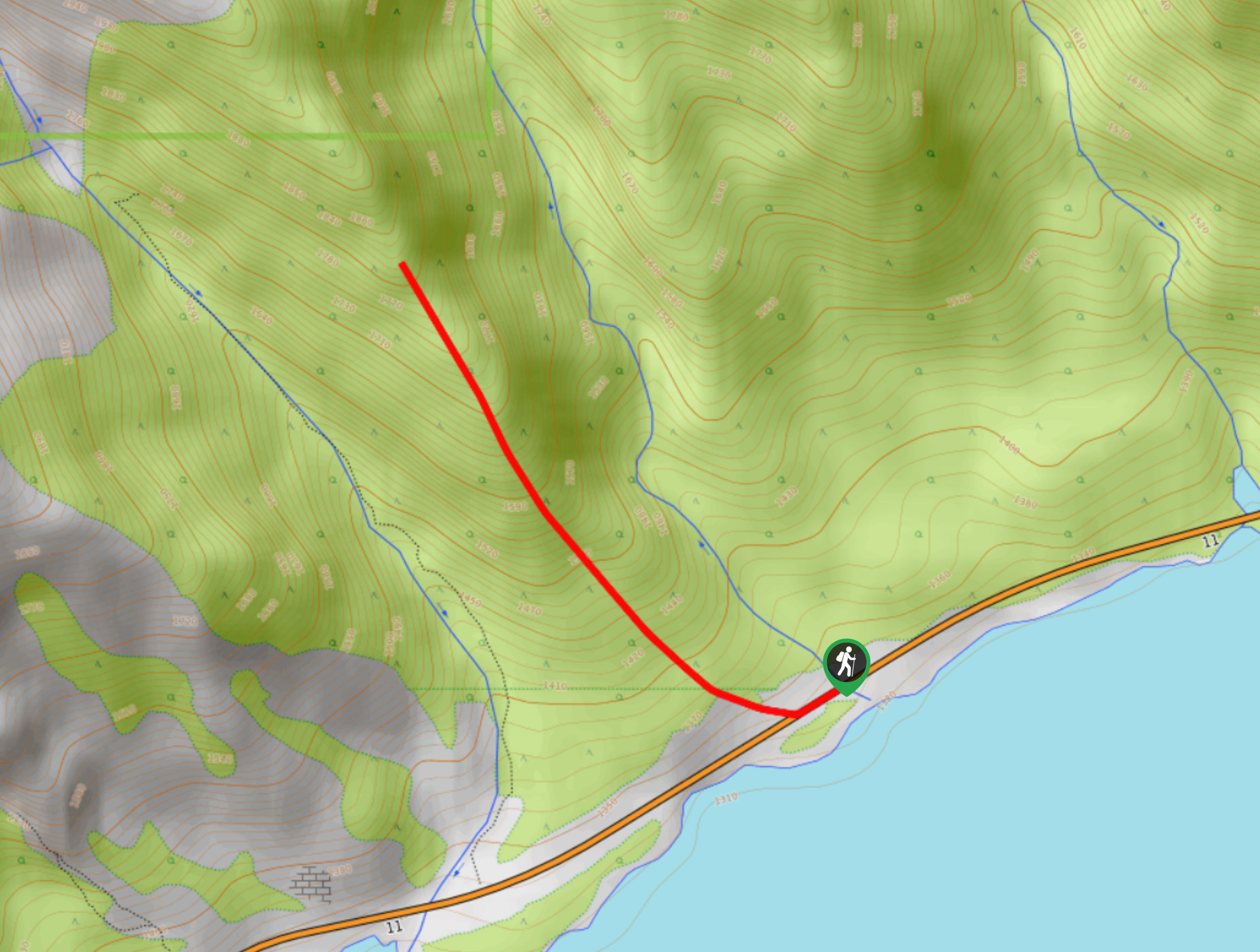
Whirlpool Point
The hike to Whirlpool Point is a beautiful stroll up the North Saskatchewan River. The trail is close to Saskatchewan…
Comments