
Marble Mountain Hike
View Photos
Marble Mountain Hike
Difficulty Rating:
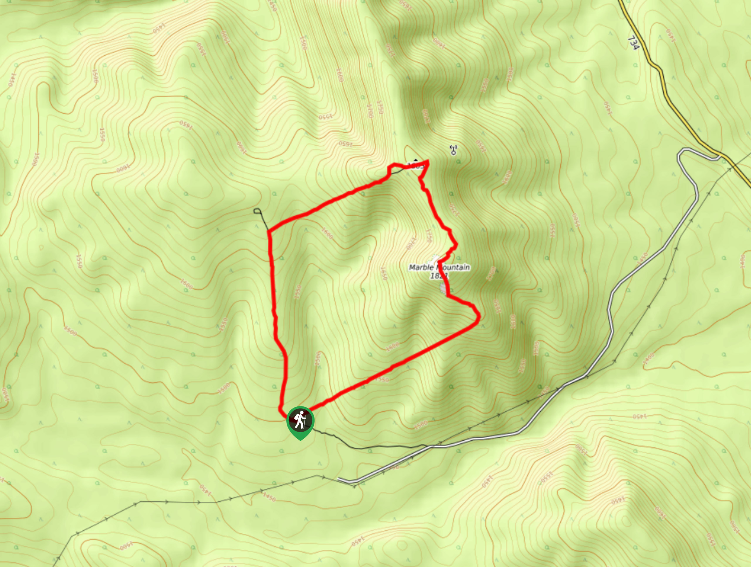
Getting to the Marble Mountain trailhead can be tricky and out of the way, but this remote trail is sure to be empty and worth the trip. You’ll find solitude here on this quiet circuit through the mountains. Route-finding skills are required here, especially early on.
Getting there
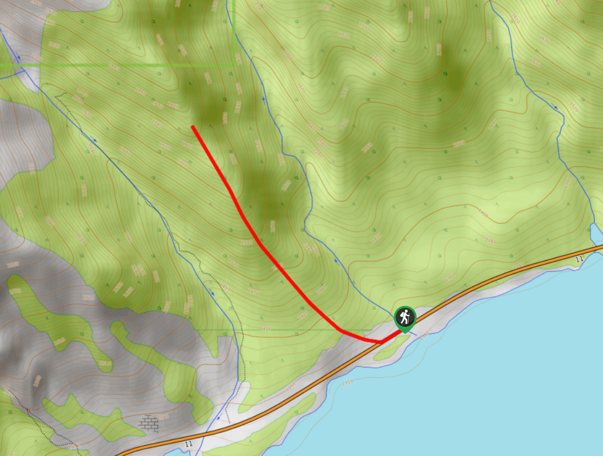
To get to the Marble Mountain Trail from Nordegg, join AB Highway 11 southbound and follow this road until you reach Rocky Mountain House at AB-22. Turn right onto AB-22 and travel southbound for 15.6mi. Turn onto Forestry Trunk Road/AB-40 S and stay on this road for 8.1mi before turning right onto a dirt road. After 1.4mi, keep right for another 1.2mi, staying right the whole time—pullover here for the trailhead.

About
| When to do | May–September |
| Backcountry Campsites | No |
| Pets allowed | Yes |
| Family friendly | Older Children only |
| Route Signage | None |
| Crowd Levels | Moderate |
| Route Type | Circuit |
Marble Mountain Hike
Elevation Graph
Weather
Marble Mountain Trail Description
As David Thompson Country goes, finding the trailhead can be the biggest crux, and Marble Mountain Trail is no exception. Once you make it to the trailhead, follow the path to a trail junction, which is the beginning of your loop on the lollipop. Join the trail on the left and hike in a clockwise direction. 0.9mi from the junction, you will reach a slight detour to a lookout point that is well worth a stop. The detour is a 1312ft round trip but leads to a fantastic view. Make your way to the summit and enjoy the descent.
Similar hikes to the Marble Mountain Hike hike
Paula’s Ridge Hike
Paula’s Ridge Hike is just east of Mount Abraham and offers incredible views of Abraham Lake. If you are looking…
Kootenay Plains Heritage Trail
Take in some history on the Kootenay Plains Heritage Trail. The trail travels through the ecological preserve and passes by…
East Bush Falls
The East Bush Falls Loop is a quiet loop along a multi-use trail that leads to a quaint waterfall. The…
Comments