
Kootenay Plains Heritage Trail
View Photos
Kootenay Plains Heritage Trail
Difficulty Rating:
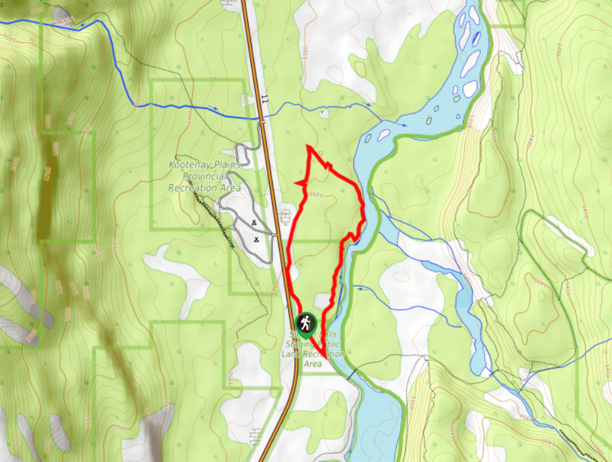
Take in some history on the Kootenay Plains Heritage Trail. The trail travels through the ecological preserve and passes by significant historical landmarks. You will see remnants of an old cabin, ranch, and even a cemetery as you make your way along the trail.
Getting there
To get to the Kootenay Plains Heritage Trail, travel 16.8mi eastbound from Saskatchewan River Crossing and turn right for the Siffleur Falls trailhead at the Kootenay Plains Ecological Preserve.

About
| When to do | May–October |
| Backcountry Campsites | No |
| Pets allowed | Yes - On Leash |
| Family friendly | Yes |
| Route Signage | Average |
| Crowd Levels | Moderate |
| Route Type | Circuit |
Kootenay Plains Heritage Trail
Elevation Graph
Weather
Kootenay Plains Heritage Hike Trail Description:
The Kootenay Plains Heritage Trail begins at the Siffleur Falls trailhead but does not cross the river. Start your hike in the northeast corner of the parking area. You’ll see a break in the fence with an obvious path leading to the wooded area. Follow this and enjoy the views of the North Saskatchewan River. You will pass the remnants of historic Barnes Ranch, which ceased operation in 1909. You’ll see the old horse corral and the fireplace from the old home. Cross through a gate at a junction, and continue on the main path before reaching a historic cabin and a nearby cemetery. The trail ends by following the river, offering excellent views on the way back to the parking area.
Similar hikes to the Kootenay Plains Heritage Trail hike
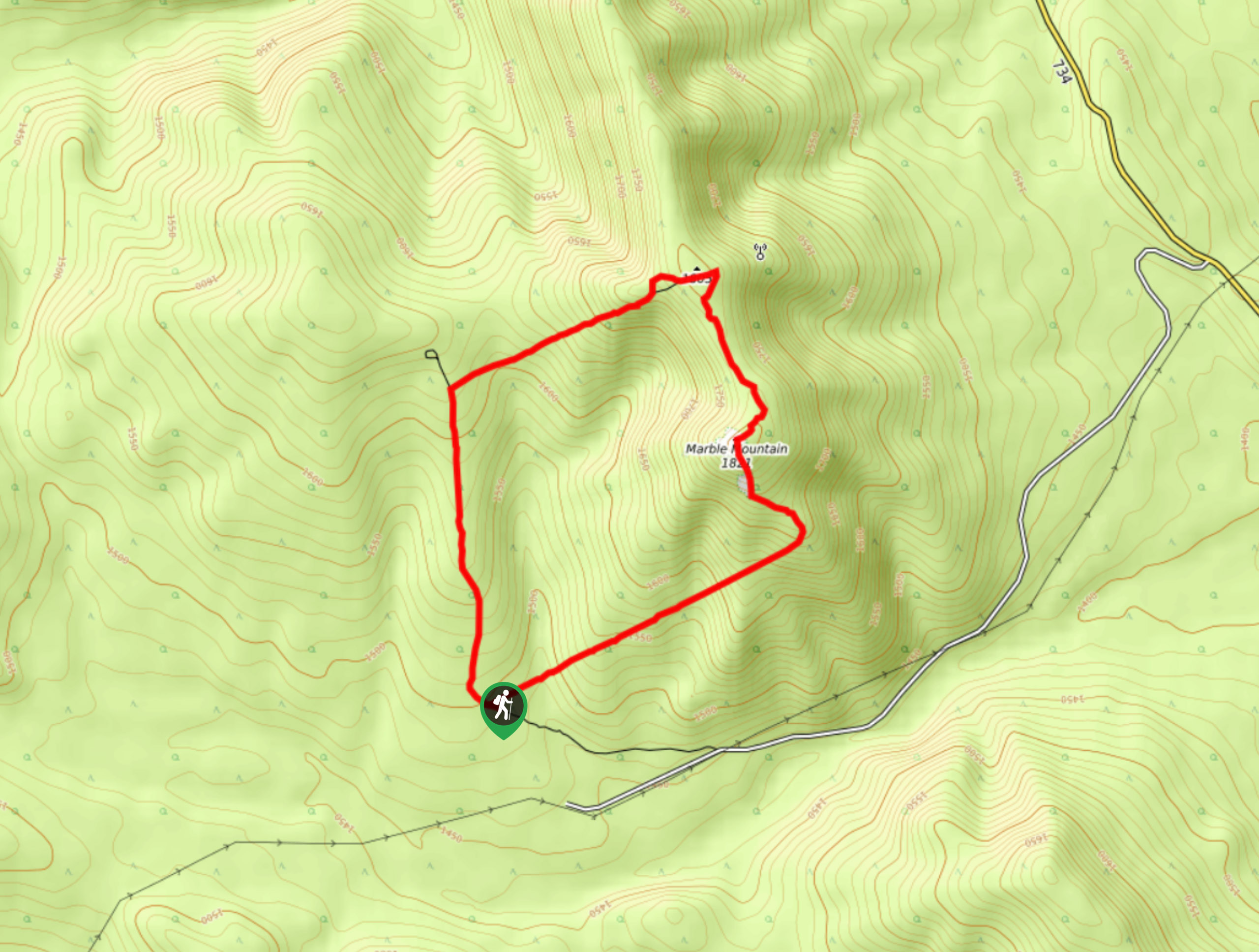
Marble Mountain Hike
Getting to the Marble Mountain trailhead can be tricky and out of the way, but this remote trail is sure…
Paula’s Ridge Hike
Paula’s Ridge Hike is just east of Mount Abraham and offers incredible views of Abraham Lake. If you are looking…
Whirlpool Point
The hike to Whirlpool Point is a beautiful stroll up the North Saskatchewan River. The trail is close to Saskatchewan…
Comments