
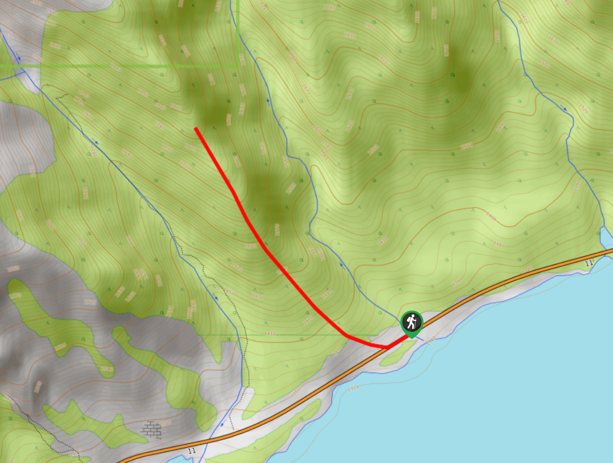
Paula’s Ridge Hike
View Photos
Paula’s Ridge Hike
Difficulty Rating:
Paula’s Ridge Hike is just east of Mount Abraham and offers incredible views of Abraham Lake. If you are looking for a quick hike with a moderate amount of elevation gain and great views, this hike is an excellent choice. It’s a straightforward out-and-back route that climbs the ridge to a viewpoint before heading back down.
Getting there
From Saskatchewan River Crossing, travel 32.9mi east on Highway 11 before pulling over to find Paula’s Ridge.

About
| When to do | May–September |
| Backcountry Campsites | No |
| Pets allowed | Yes |
| Family friendly | Older Children only |
| Route Signage | Poor |
| Crowd Levels | Moderate |
| Route Type | Out and back |
Paula’s Ridge Hike
Elevation Graph
Weather
Paula’s Ridge Hike Trail Description:
To find the trailhead to Paula’s Ridge, you will need to pull over between Hoodoo Creek and Windy Ridge. The trail begins on the clear ridge just east of Hoodoo Creek, giving you a significant landmark. Pull over safely and cross the highway. Begin making your way up the ridge on the faint path. Views will come into sight quickly, so don’t forget to admire the incredible Abraham Lake behind you if you need a break. Come to a viewpoint and take some time to enjoy the vistas before heading back down.
Similar hikes to the Paula’s Ridge Hike hike
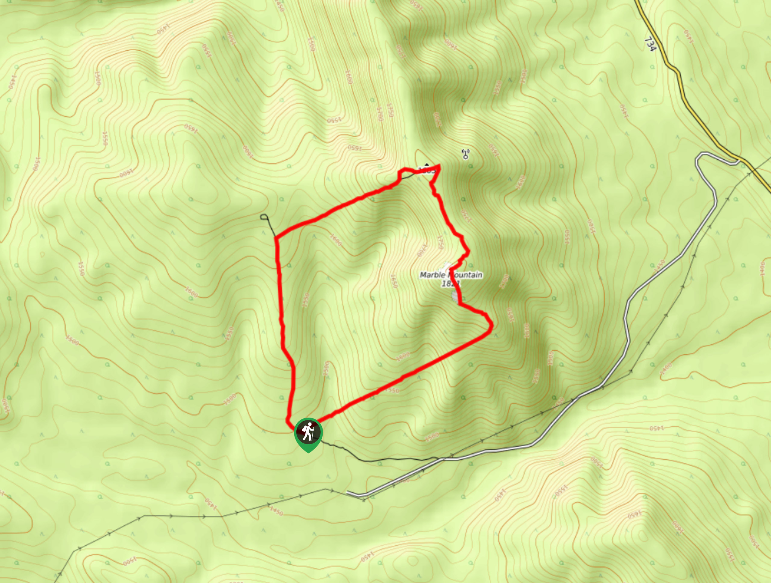
Marble Mountain Hike
Getting to the Marble Mountain trailhead can be tricky and out of the way, but this remote trail is sure…
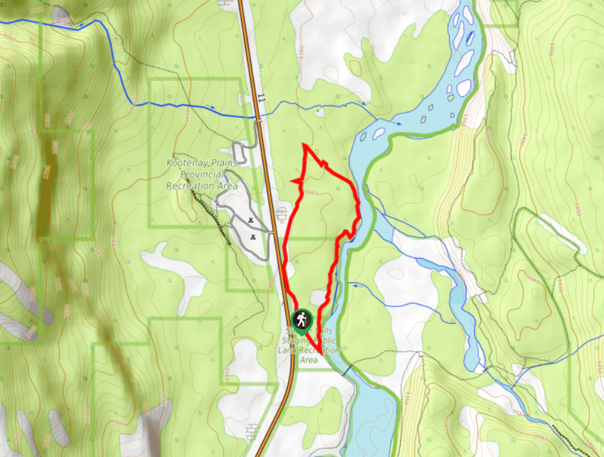
Kootenay Plains Heritage Trail
Take in some history on the Kootenay Plains Heritage Trail. The trail travels through the ecological preserve and passes by…
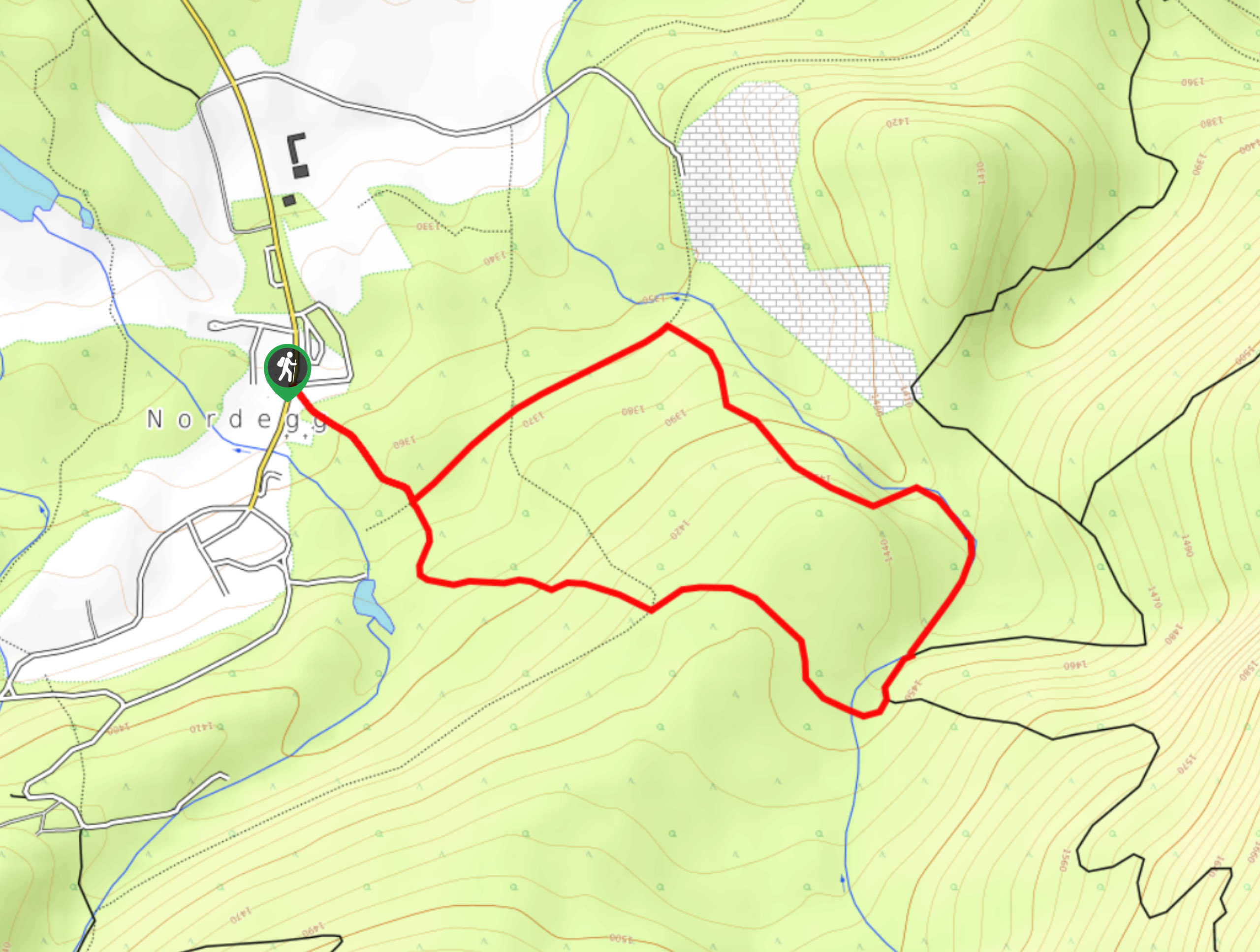
East Bush Falls
The East Bush Falls Loop is a quiet loop along a multi-use trail that leads to a quaint waterfall. The…
Comments