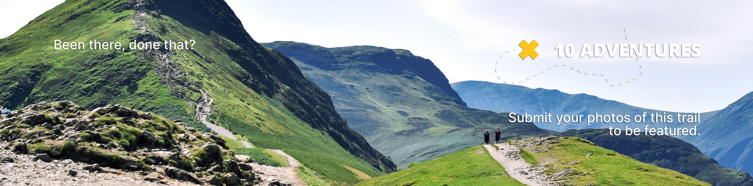
Ram Falls
View Photos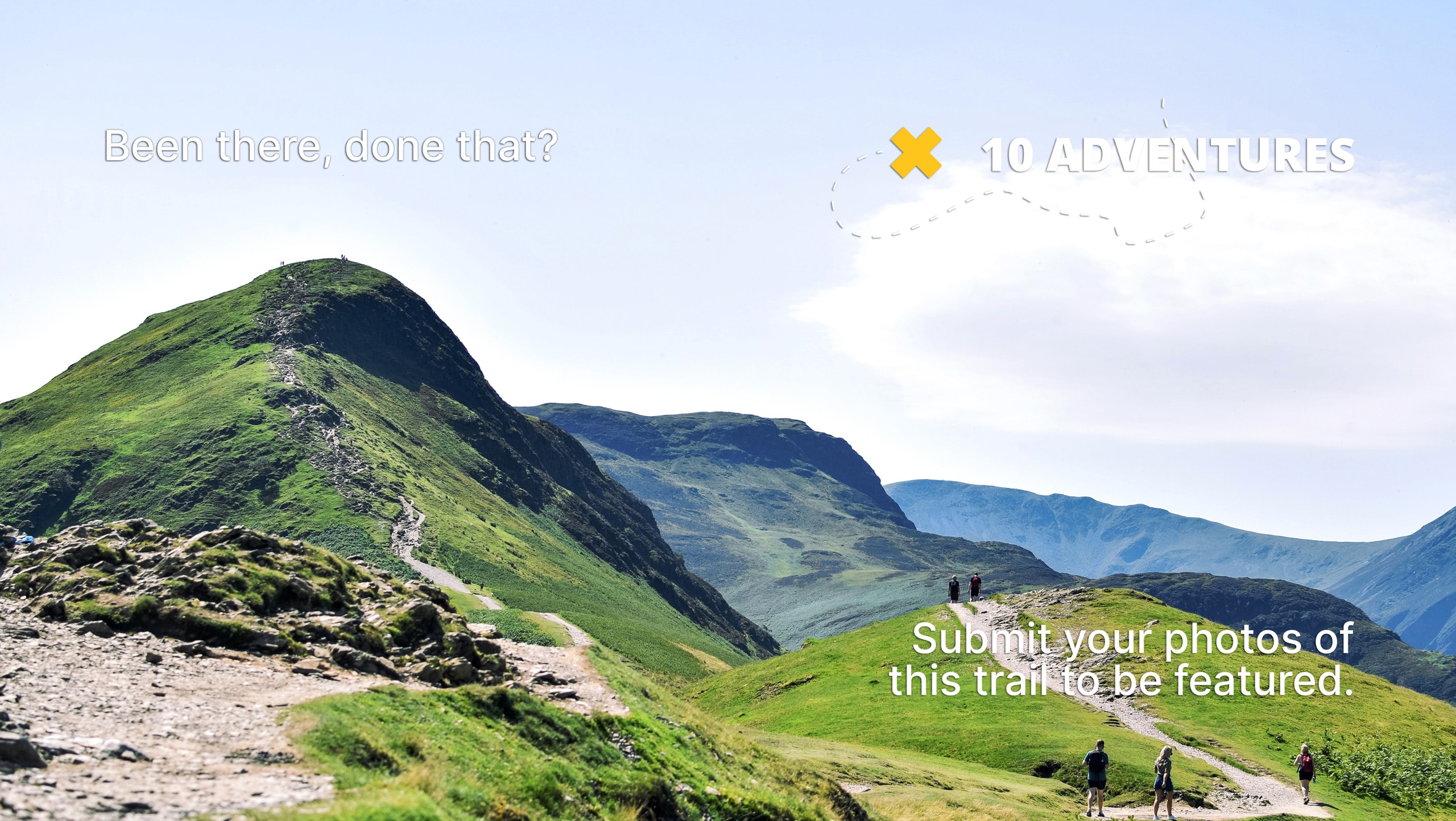
Ram Falls
Difficulty Rating:
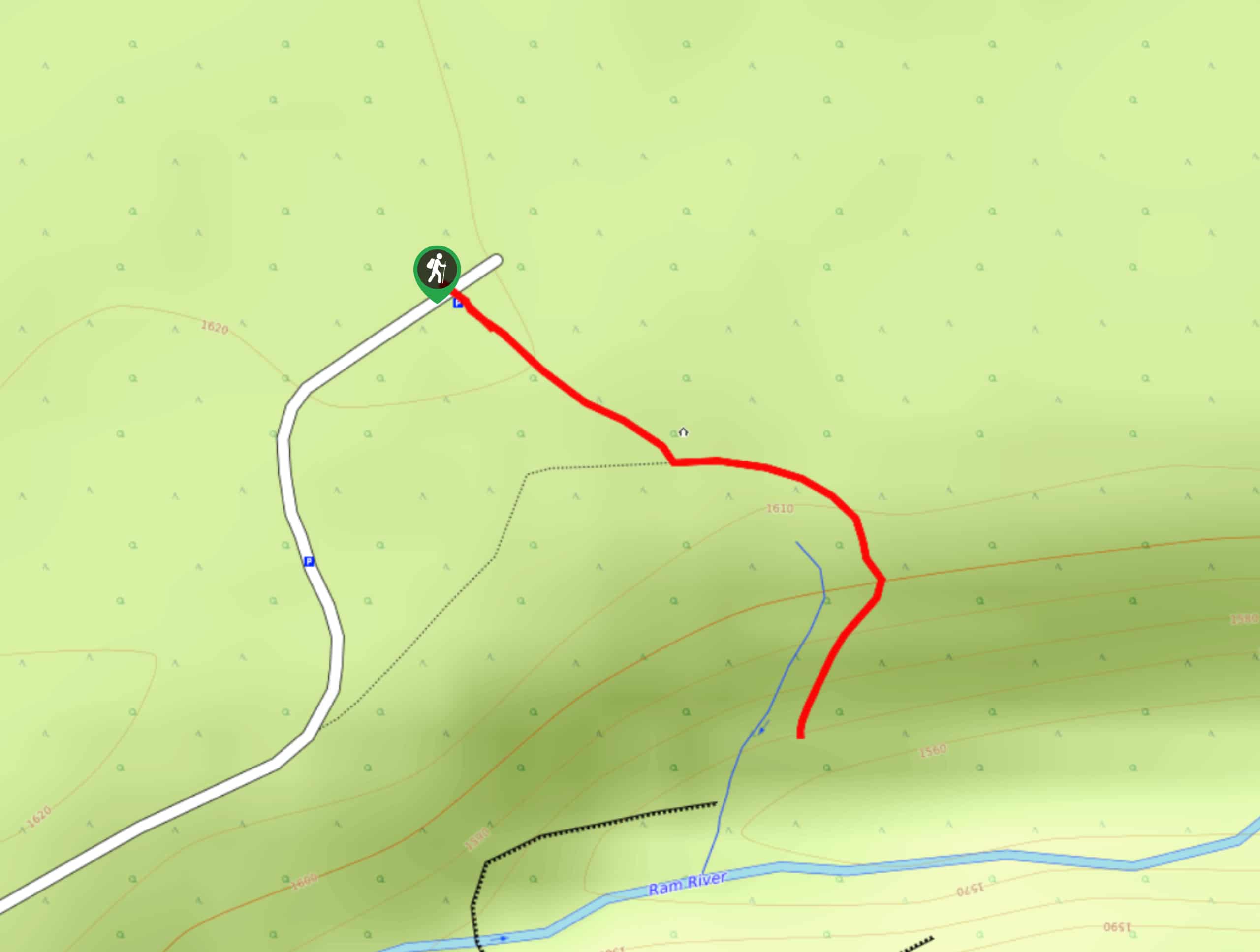
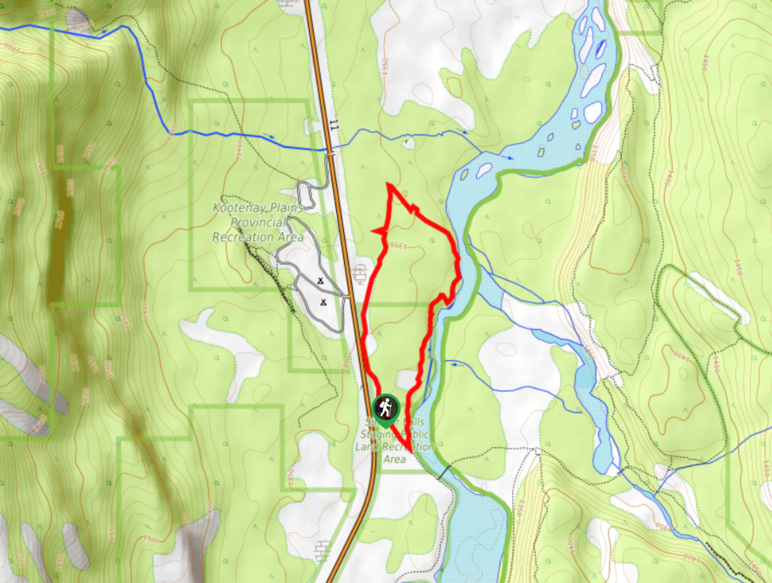
The Ram Falls Trail is located in the central hub of Ram Falls Provincial Park, next to the Ram Falls campground. This is a must-do out-and-back hike that takes less than an hour to complete. During the 2625ft round trip, be sure to spend some extra time admiring the falls and the abundant scenery in the area.
Getting there
From Nordegg, travel 36.7mi southbound on Highway 40, otherwise known as Forestry Trunk Road. After 36.7mi, turn left towards Ram Falls Campground and continue past the campground roughly 0.6mi before reaching the Ram Falls lookout on the right.

About
| When to do | May–October |
| Backcountry Campsites | No |
| Pets allowed | Yes - On Leash |
| Family friendly | Yes |
| Route Signage | Average |
| Crowd Levels | High |
| Route Type | Out and back |
Ram Falls
Elevation Graph
Weather
Ram Falls Trail Description
Hiking to Ram Falls doesn’t take long but it’s worth spending time at the site. If you are travelling through the area already, it’s definitely worth stopping. The campground nearby is a great base camp for other activities in the area. This trail wouldn’t be worth the long drive if you weren’t planning to stay awhile.
If you choose to spend some time in the Ram Falls area, then visiting the falls is vital. It’s the namesake of the park, and for a good reason. The falls are stunning and easy to get to for all abilities.
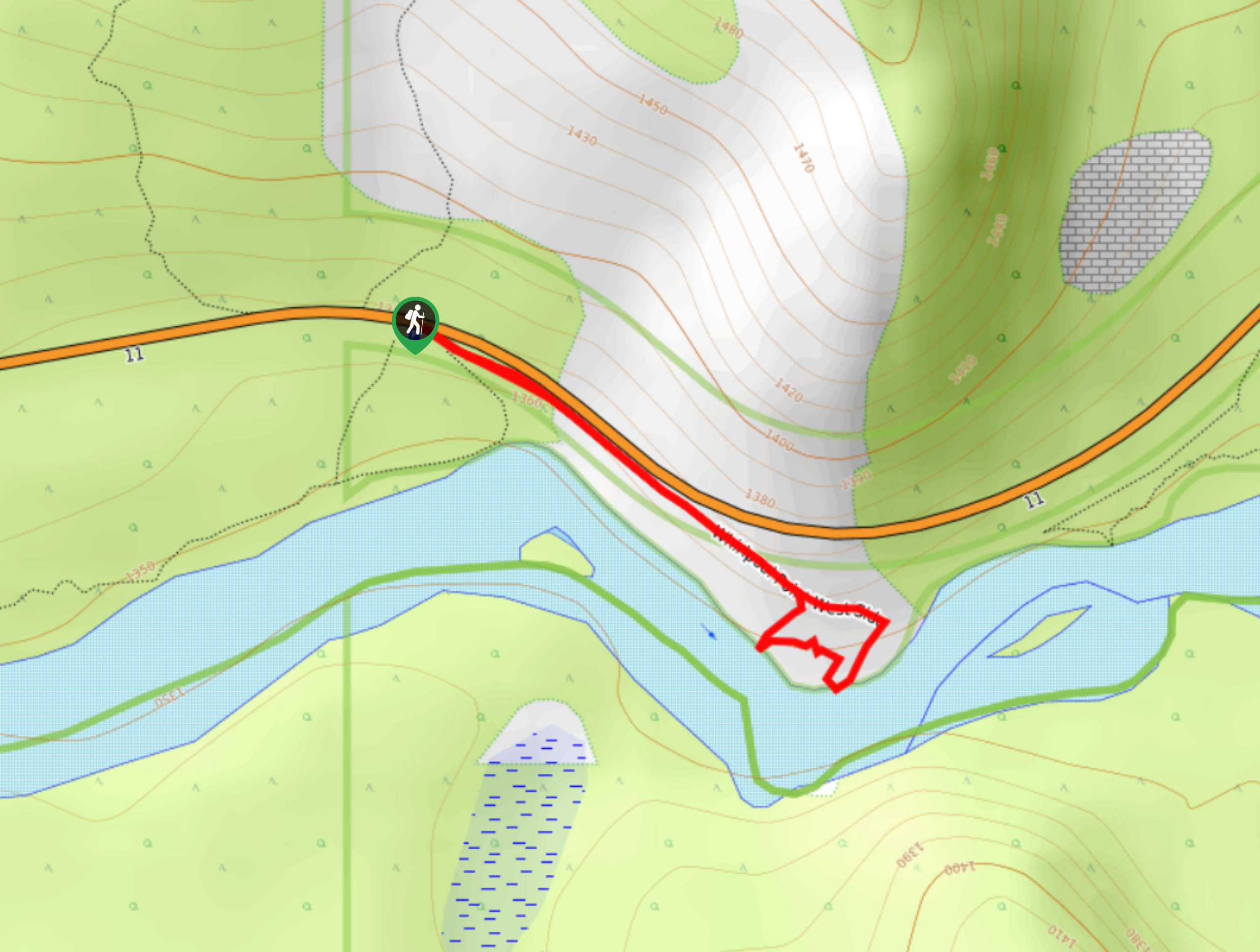
From the Ram Falls parking area, follow the clear and well-signed trail from the parking lot. The wide dirt path is perfect for families and those with mobility restrictions. Follow this path for 656ft before reaching a junction. You’ll take the trail to the left, which is the main trail. The trail to the right leads back to the main road as an alternate. Follow the main trail for another 656ft to the Ram Falls viewpoint. The falls are fed by the Ram River and rush over the cliff’s edge from 66ft high.
Plan to spend some time at the viewpoint since it’s such a short trail. Enjoy the scenery and the calming sound of the water as it cascades onto the sandstone below. The trail is an out-and-back, so once you have spent enough time enjoying the views of the falls, turn back the way you came and travel 1312ft back to the parking area.
Insider Hints
Plan to camp at the Ram Falls Campground to explore the area and take advantage of what the region offers.
Pack a lunch or some snacks to enjoy at the falls viewpoint.
Watch for wildlife in the region! Bighorn sheep are known to frequent the area, hence the name of the park.
Similar hikes to the Ram Falls hike
Whirlpool Point
The hike to Whirlpool Point is a beautiful stroll up the North Saskatchewan River. The trail is close to Saskatchewan…
Kootenay Plains Heritage Trail
Take in some history on the Kootenay Plains Heritage Trail. The trail travels through the ecological preserve and passes by…
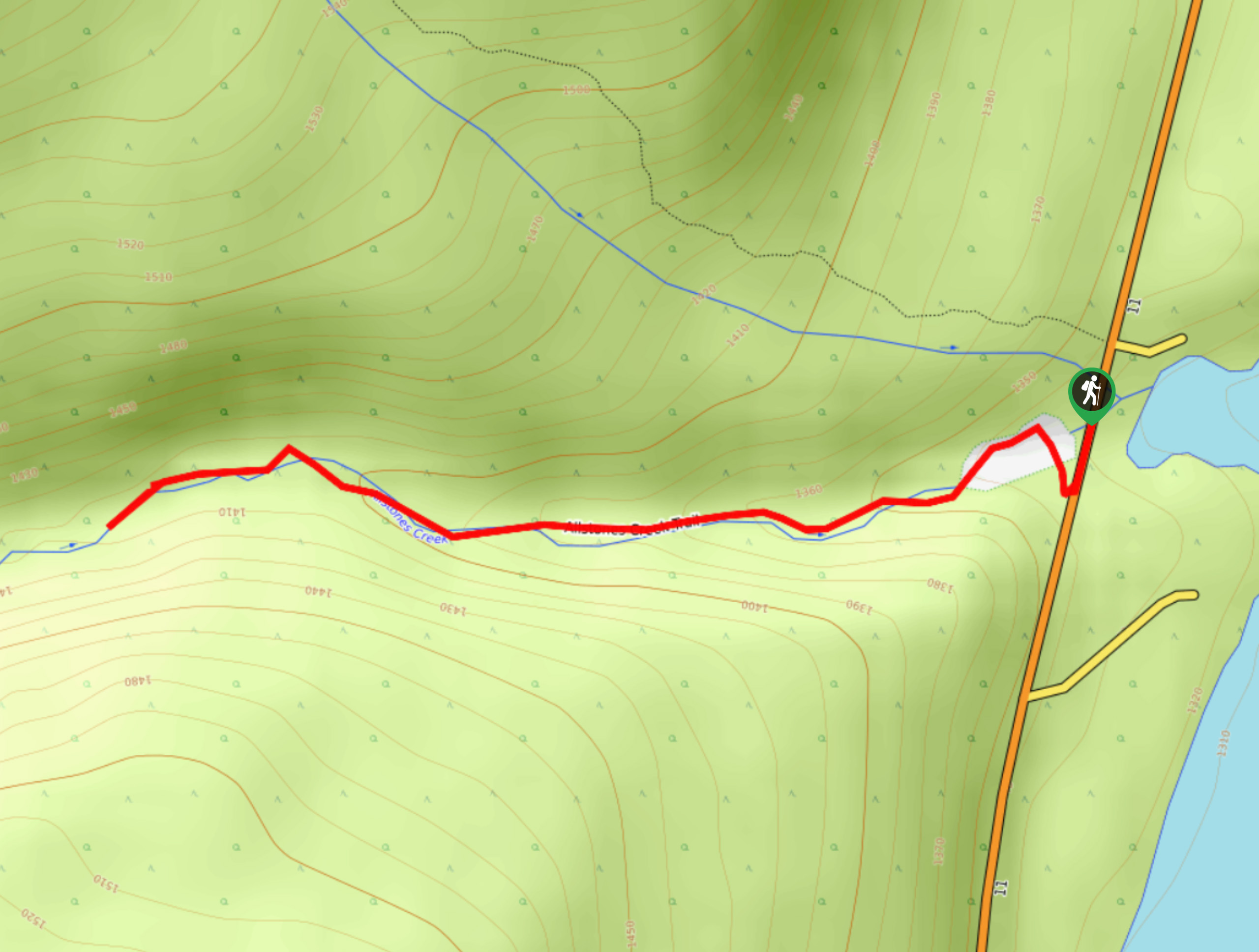
Allstones Creek Trail
Allstones Creek Trail is an out-and-back hike for all abilities. It’s flat, easy, and doesn’t cover much distance. If you…
Comments