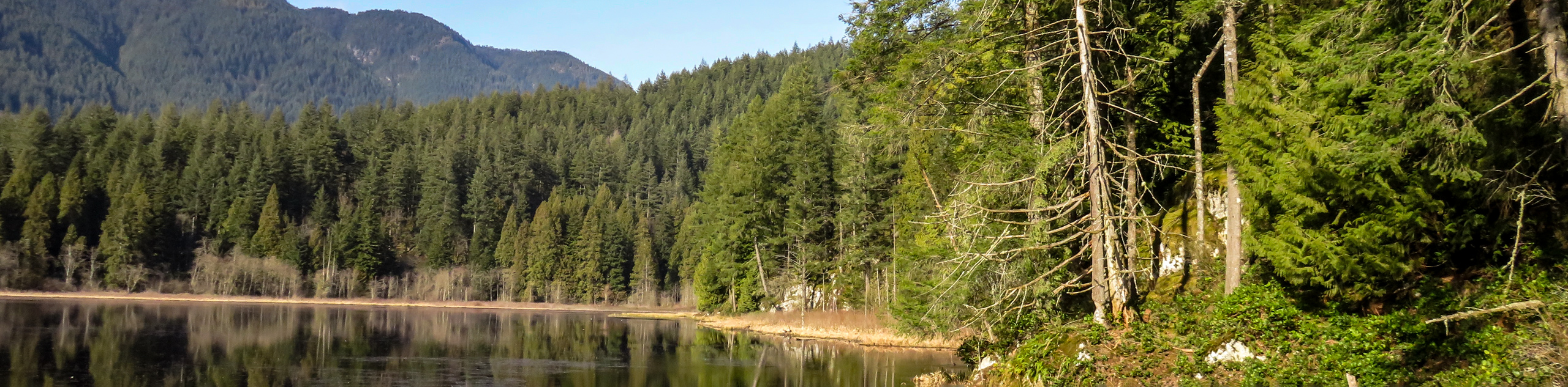
hikes in East of Vancouver
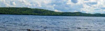
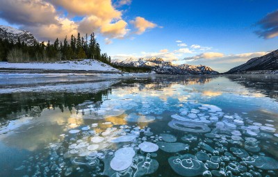
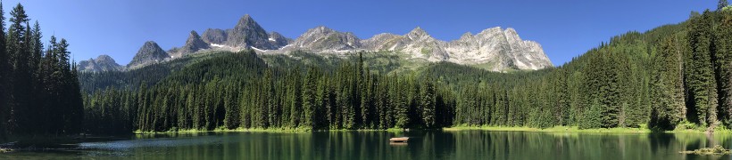
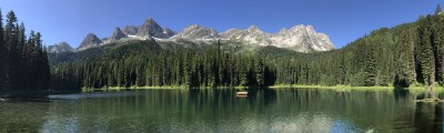
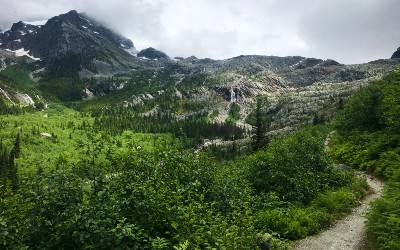
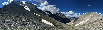
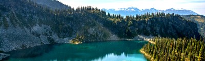
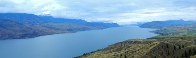
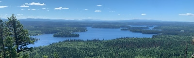
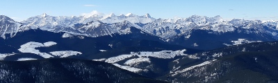
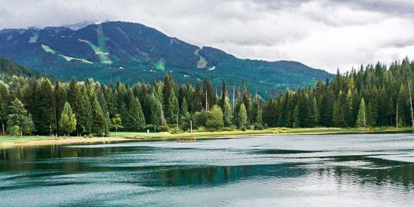
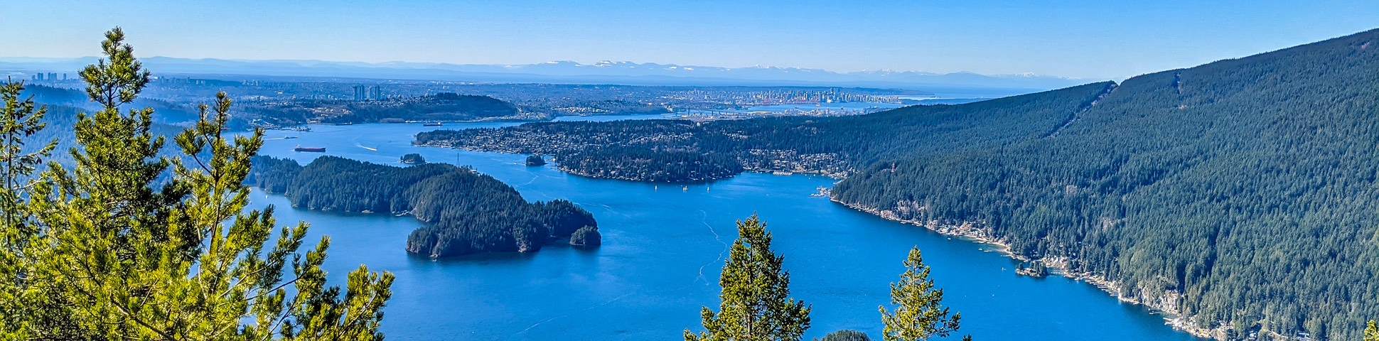
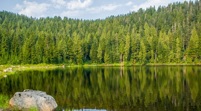
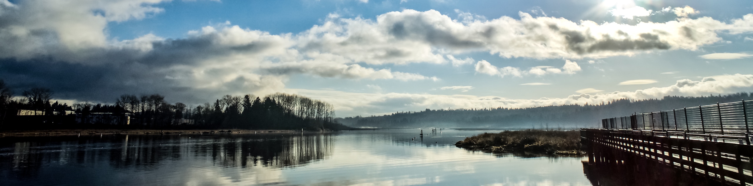
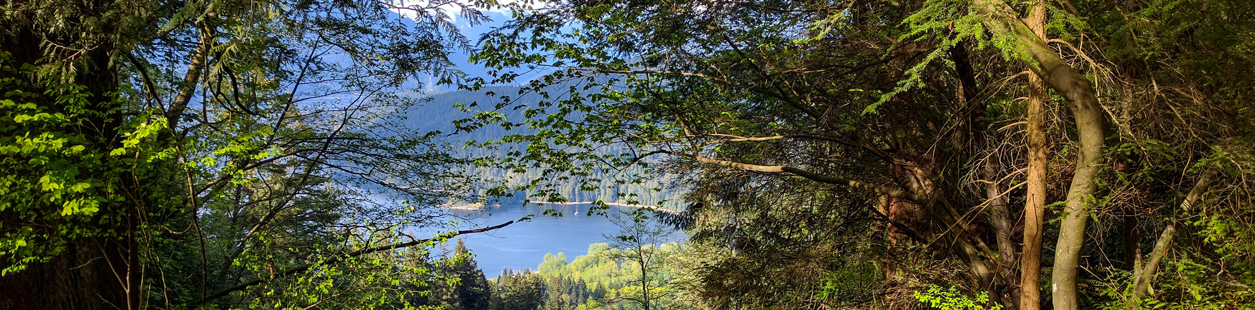
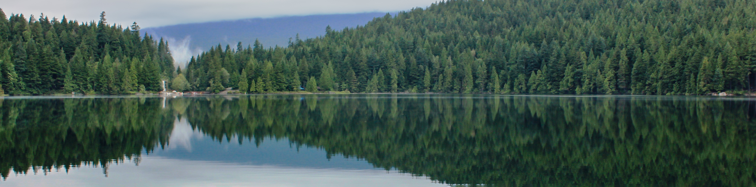
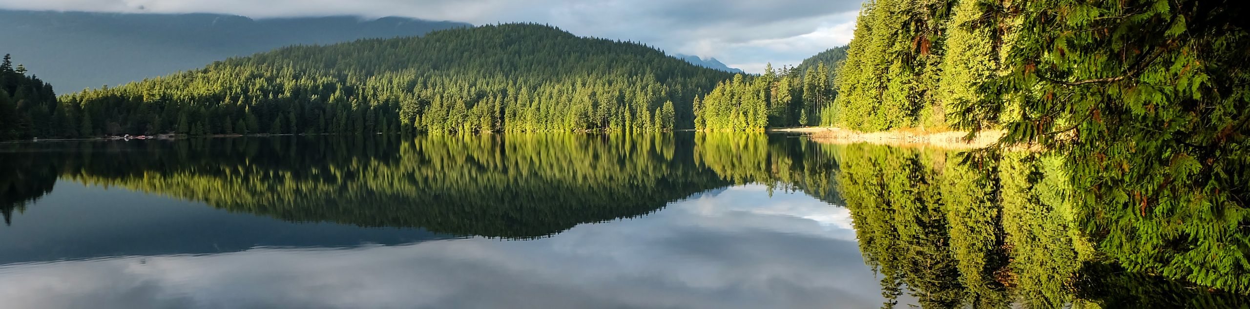
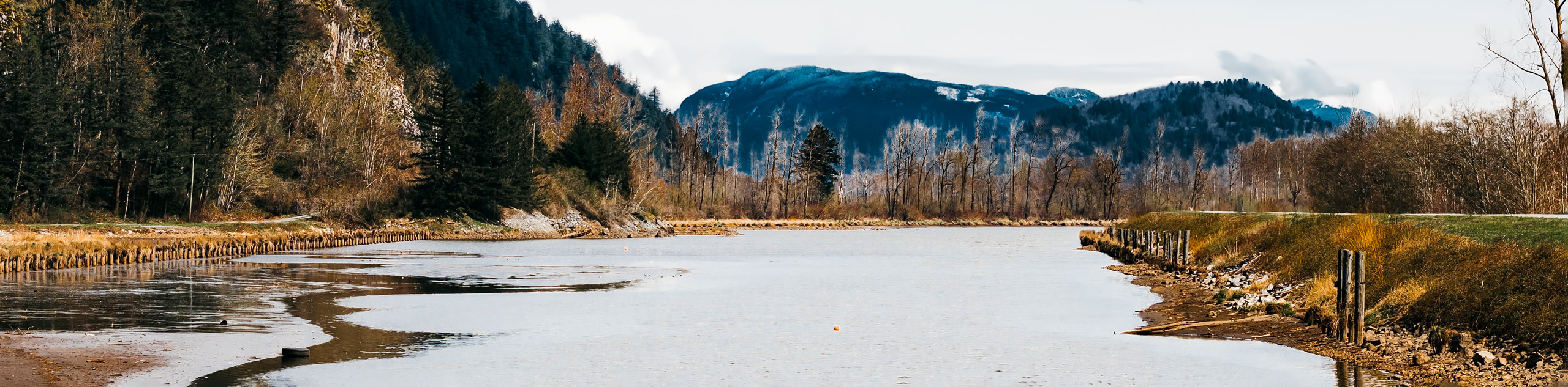
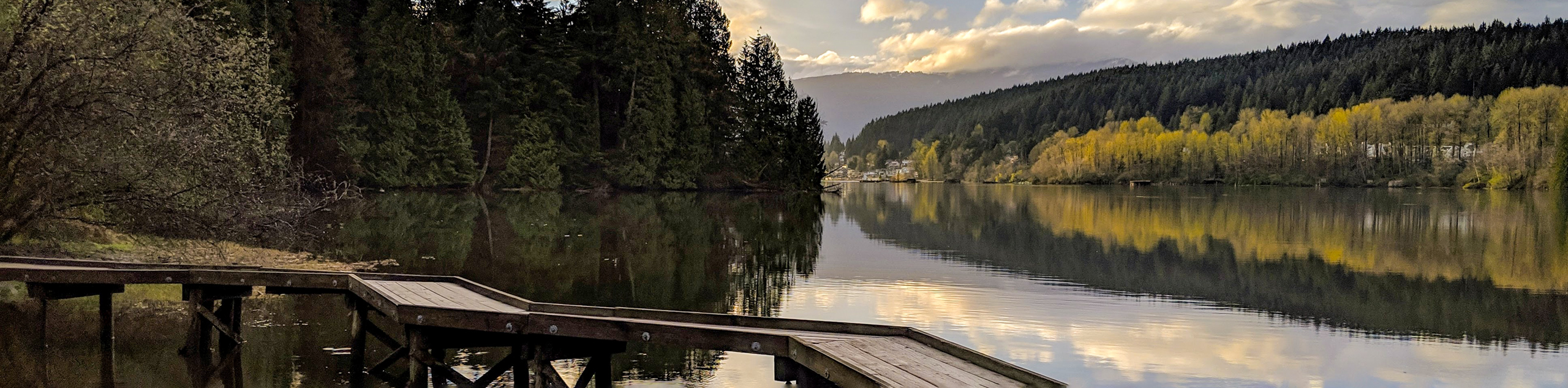
Hiking East of Vancouver is arguably one of the best ways to explore some of the hidden gems of British Columbia’s mountain ranges. Tucked away to the east, you’ll find stunning mountain scenery, a huge selection of hiking trails amongst national parks, pristine lakes and verdant forests to explore. Better yet? You’ll also find little to no crowds.
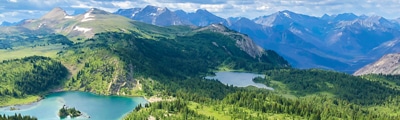
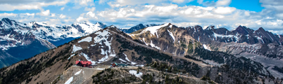
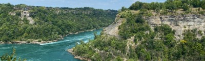
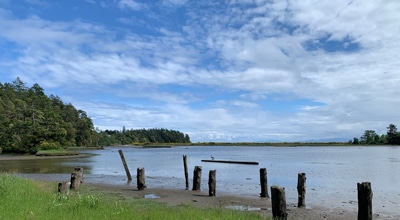
East of Vancouver encompasses the Coquitlam and Maple Ridge areas, which are often overshadowed by Garibaldi and Whistler. But just a quick drive or train ride from Vancouver will take you east of the city and into an outdoor playground. Home to Golden Ears, Pinecone Burke Provincial Park, Minnekhada Regional Park, Westwood Plateau, Belcarra Regional Park and more—there is no shortage of epic hikes East of Vancouver.
After a full day of hiking, weary travellers can kick up their feet in the city of Coquitlam where trendy bars, cozy restaurants and stylish boutiques are abound. Or if you’re not done exploring yet, set out to explore some of the local city parks in the area to get up close and personal to the unique flora and fauna that can be found East of Vancouver.
Ready to head for the hills (er, mountains!) East of Vancouver? We’ve rounded up the best 10 hikes in the region, so pack your bags and hit the trails in one of Canada’s fastest growing areas.
The 10 Greatest Hikes East of Vancouver
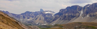
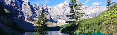
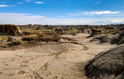
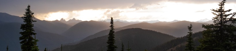
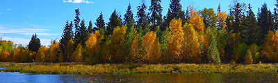
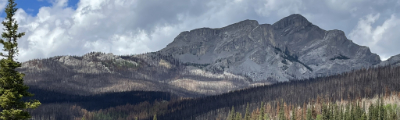
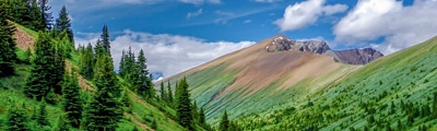
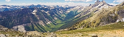
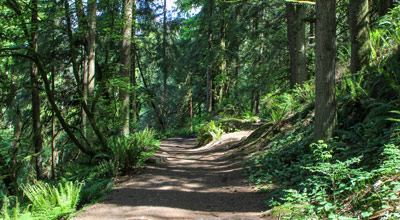
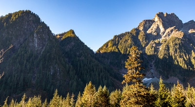
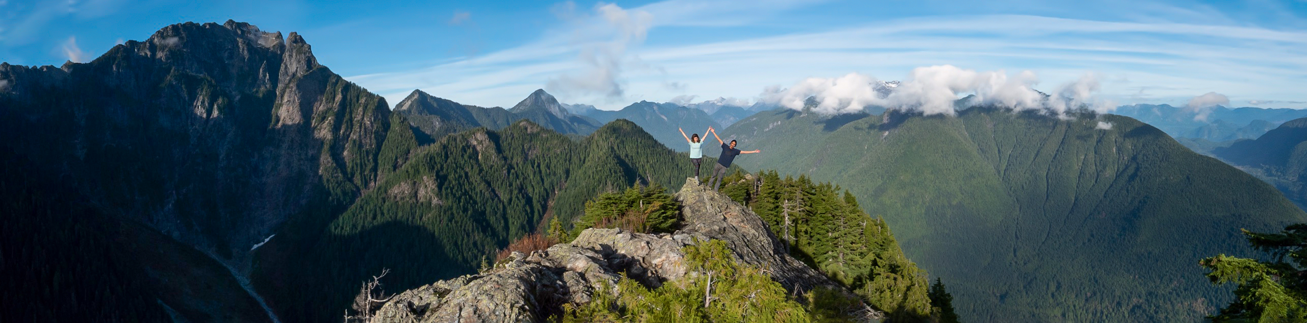
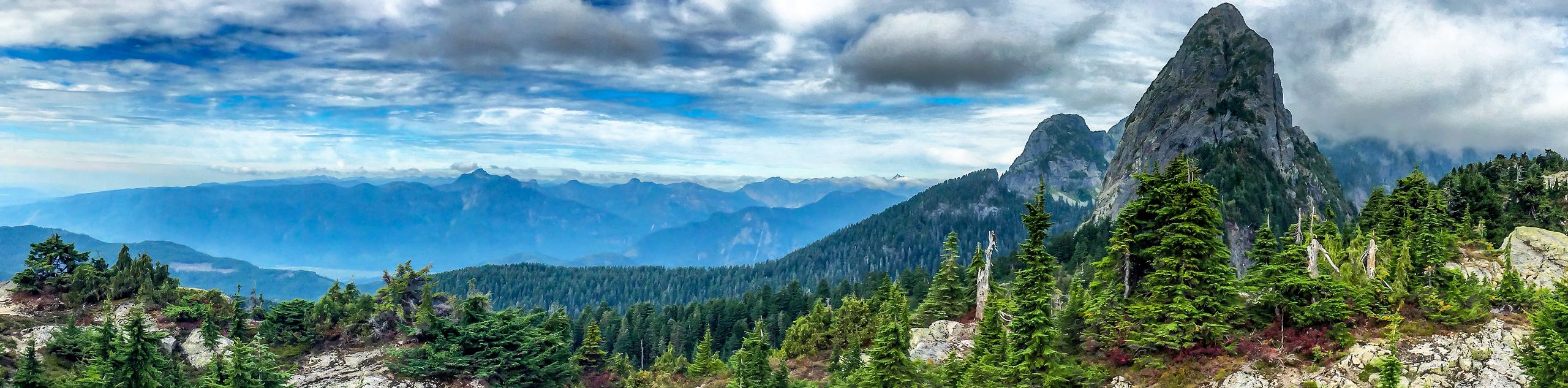
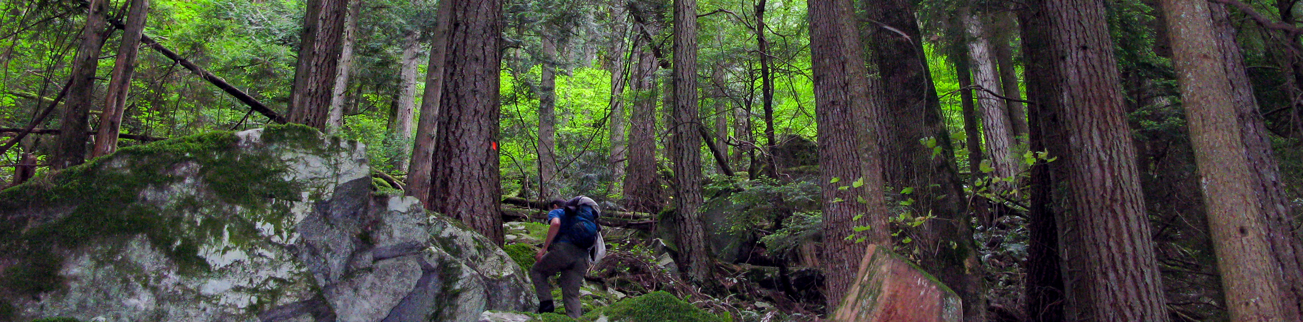
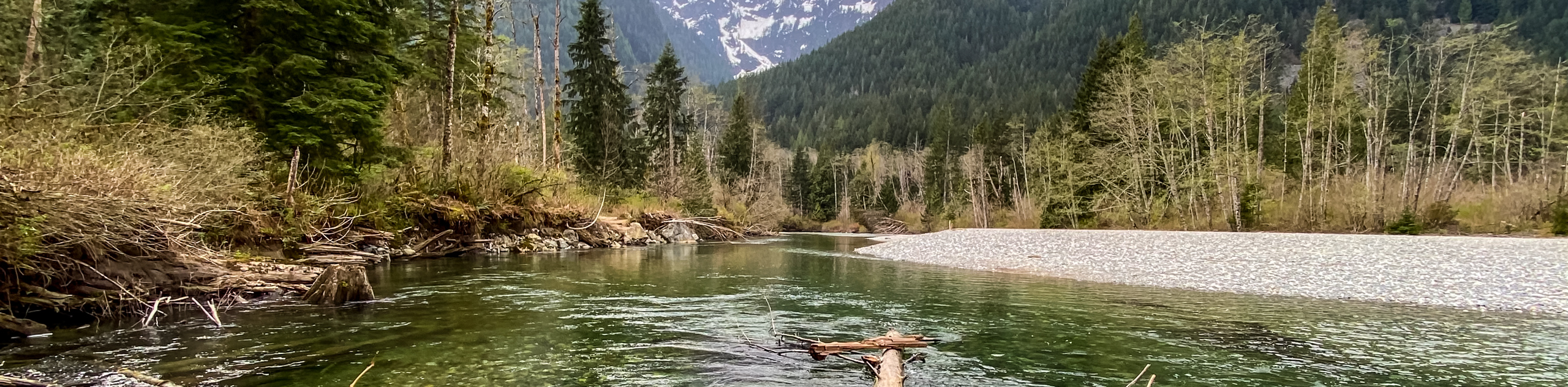
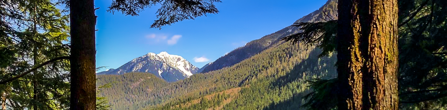
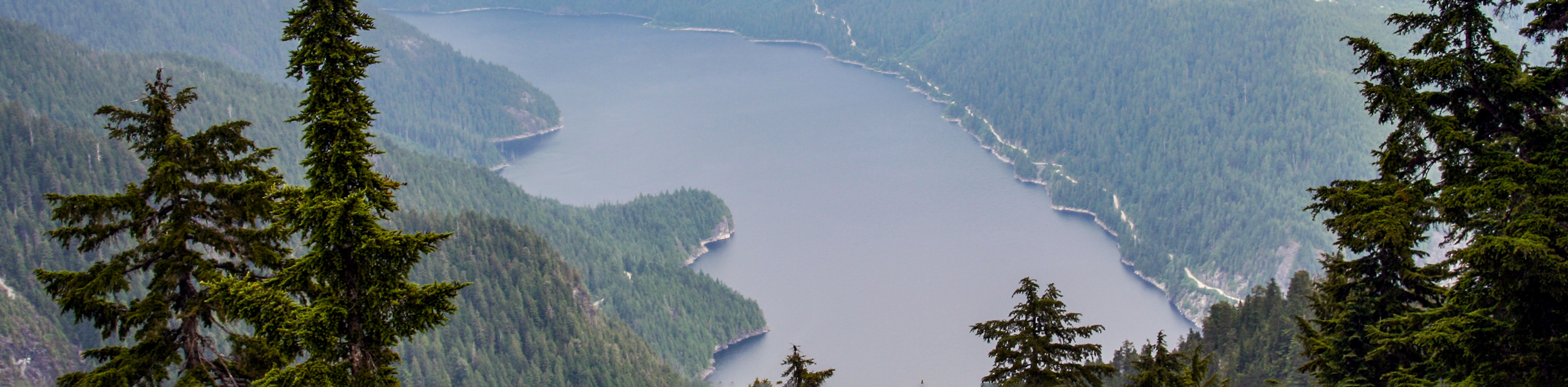
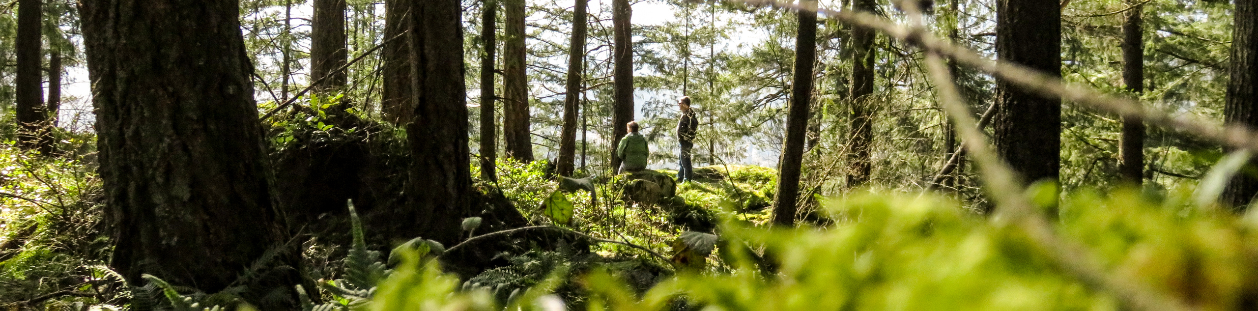
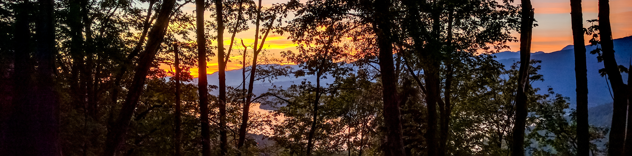
From easy, gentle trails to challenging, heart-pounding summits, East of Vancouver has it all when it comes to hiking. Regardless of which trail you choose, you’ll likely enjoy stunning mountain views and depending on the time of year, trails in full bloom, bursting with colourful wildflowers. For an epic day-hike or multi-day hike, check out the Golden Ears Summit hike, with arguably the best views in all of Vancouver. Or, if you’re in search of a child-friendly outing, the Crystal Falls hike has flat trail that lead to a magnificent waterfall that is sure to delight.
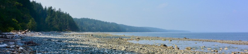
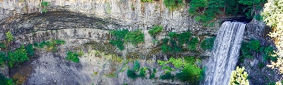
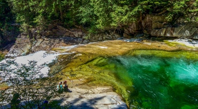
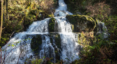
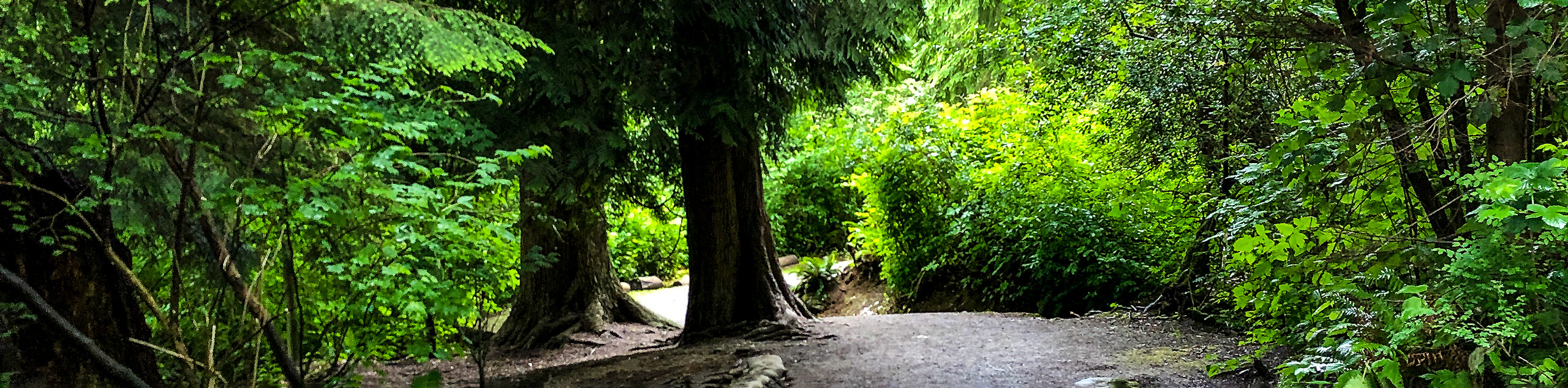
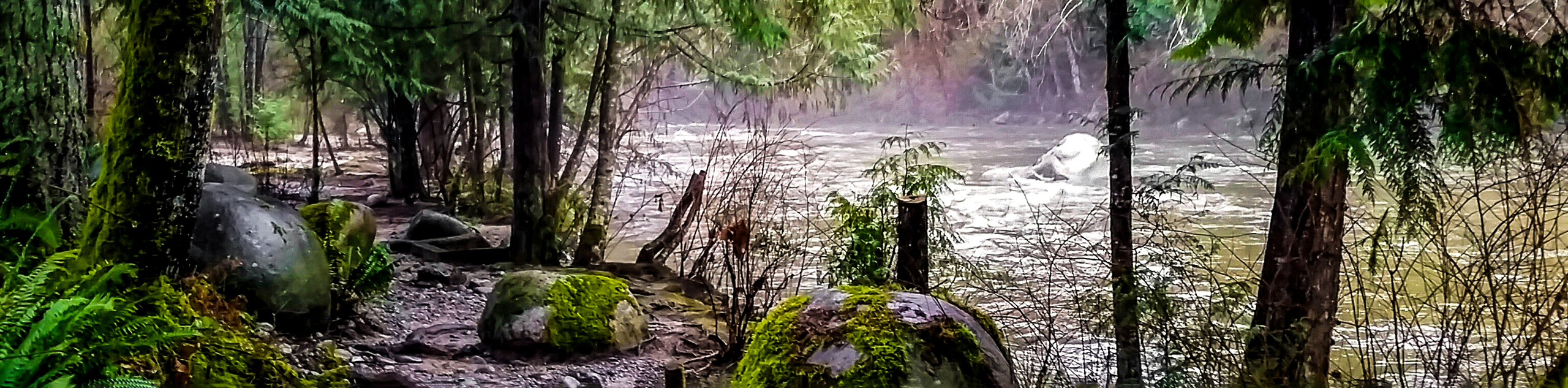
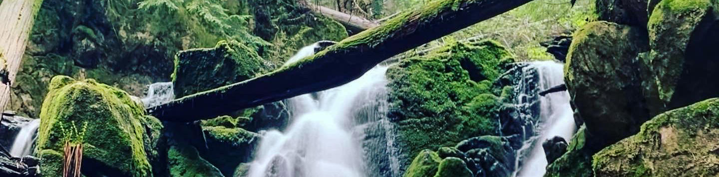
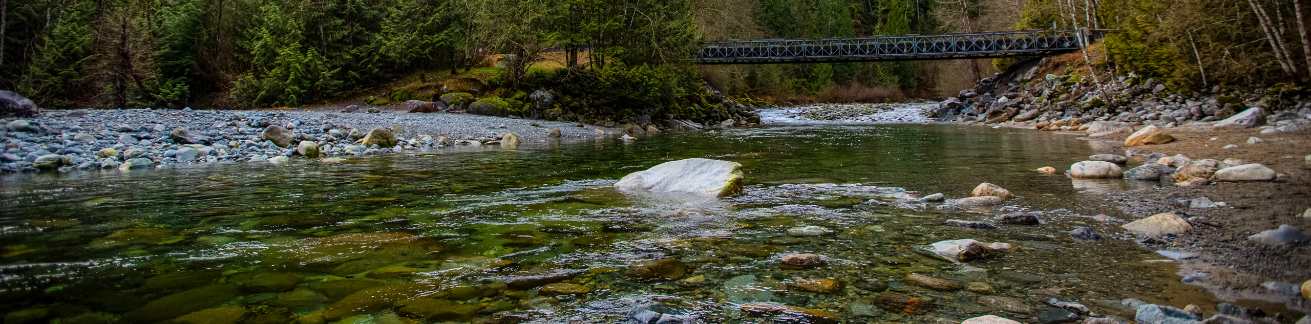
- Crystal Falls: Crystal Falls hike is a terrific family outing. This easy and flat trail follows the Coquitlam River and ends at a small, magical waterfall.
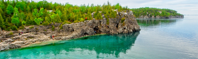
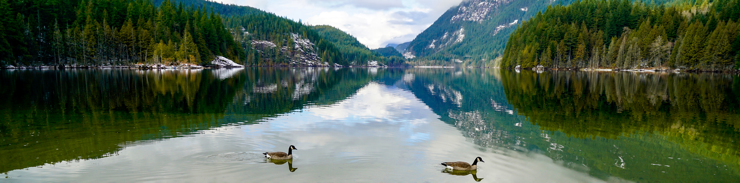
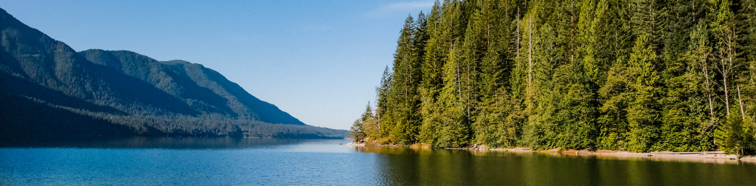
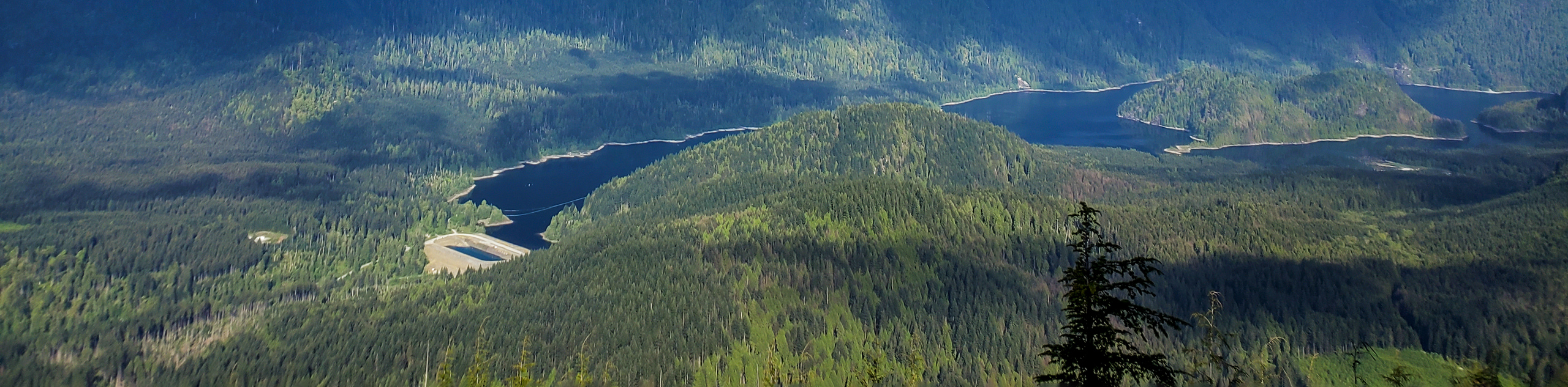
- Sendero Diez Vistas: The Sendero Diez Vistas hike is a popular loop. There are ten unique viewpoints (hence, ‘Diez Vistas’), which can be seen on the loop that navigates all the way around Buntzen Lake.
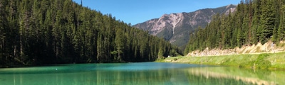
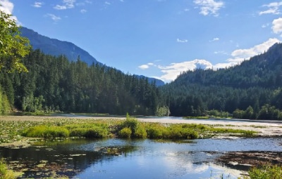
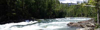
- Gold Creek Falls: Gold Creek Falls hike an easy trail in Golden Ears Provincial Park. Follow this relatively flat path along Gold Creek, until you reach a beautiful waterfall.
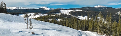
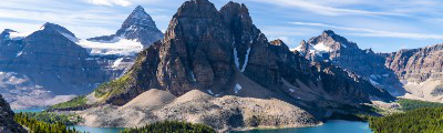
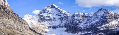
- Golden Ears: Golden Ears Summit hike is an extremely challenging day hike, where the peak is hard to summit. But those make it will be rewarded with some of the best views anywhere around Vancouver.
- High Knoll: High Knoll hike is a popular trail in Minnekhada Regional Park. A short hike will take you to a nice bluff overlooking the Pitt River.
- Jug Island: The Jug Island hike is a fun trail that starts at one beach and leads to another. Jug Island Beach is small, but scenic and you can swim on hot, summer days.
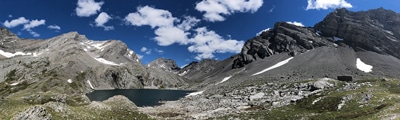
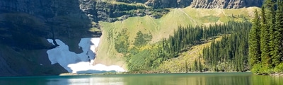
- Munro Lake & Dennett Lake: The Munro Land & Dennet Lake hike is a perfect trail for those looking for a challenge and avoid the crowds, with two glistening lakes and a stunning scenic lookout.
- Sawblade Falls: Sawblade Falls hike leads to a small, but scenic waterfall in Pinecone Burke Provincial Park.
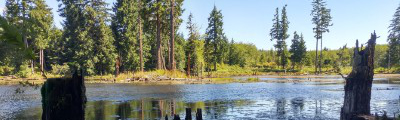
- Steelhead Falls: Steelhead Falls hike is a gentle trail at Hayward Lake that leads to a large waterfall. The hike is easy, but those who want to hike further can make a loop around the entire lake.
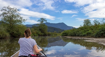
- Widgeon Falls: The Widgeon Falls hike makes for a fun outing, as you have to find a way across the Pitt River to reach the trailhead. The trail itself is mostly flat and easy, and leads to a small, but scenic waterfall.
When Is The Best Time To Hike East of Vancouver
Like most of the trail within British Columbia, peak season for hiking East of Vancouver is between late June to mid-September. The weather is pretty much unbeatable, especially once up in the mountains and the wildflowers are often in full bloom during this period.
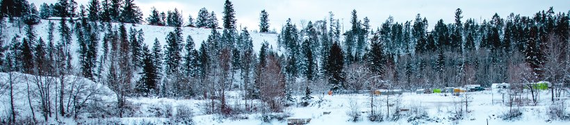
However, this is also when the trails are at their peak busy season. Meaning you might find crowded trails and be vying for camping sites and hotel accommodations. If you wish to avoid the crowds, we recommend visiting in either the spring or fall shoulder season, though you may run into some snow!
Some of the trails can also be done all-season, but we recommend checking trail conditions beforehand and ensure you dress warmly.
If you’d like to make a trip East of Vancouver your next getaway, we’ve got all the information you need! Find our comprehensive guide to planning a trip East of Vancouver, with an insider’s tips on the best restaurants, accommodations, cafes and experiences. We’ve taken all the guess work out, so you don’t have to. Now just lace up those hiking boots and hit the trails.
How To Plan A Trip East of Vancouver
If you’d like to make a trip East of Vancouver your next getaway, we’ve got all the information you need! Find our comprehensive guide to planning a trip East of Vancouver, with an insider’s tips on the best restaurants, accommodations, cafes and experiences. We’ve taken all the guess work out, so you don’t have to. Now just lace up those hiking boots and hit the trails.
Frequently-Asked-Questions About East of Vancouver
Are there a lot of bears in Coquitlam?
Yes. Coquitlam is the bear-sighting capital of B.C., so if you are heading into the mountains or even local parks, it’s important to have bear spray on you. Be sure to be bear aware and if you see one, don’t run or turn your back on the bear.
What is the easiest hike East of Vancouver?
If you’re looking for a quick, relatively easy hike, we recommend the Steelhead Falls hike. The path is gentle, with little change in elevation and it leads to a pretty waterfall that makes for a great photo-op.
Read MoreThe best hikes in East of Vancouver
01. Crystal Falls
Difficulty
Crystal Falls is a gentle hike following the Upper Coquitlam River, which ends at the… Read More
02. Sendero Diez Vistas
Difficulty
For a challenging walk around Buntzen Lake, try the Sendero Diez Vistas Trail hike. Find… Read More
03. Gold Creek Falls
Difficulty
Gold Creek Falls hike is a great walk for those camping nearby in Golden Ears… Read More
04. Golden Ears
Difficulty
The Golden Ears Summit is one of the most difficult, yet rewarding hikes in all… Read More
05. High Knoll
Difficulty
Head to Minnekhada Regional Park to hike to High Knoll for mesmerizing views and plenty… Read More
06. Jug Island
Difficulty
The Jug Island hike is an easy walk for the whole family through fresh-smelling cedar… Read More
07. Munro Lake & Dennett Lake
Difficulty
For a challenging hike, explore two amazing lakes near Coquitlam, BC: Munro Lake and Dennett… Read More
08. Sawblade Falls
Difficulty
Explore woodland trails on the Sawblade Falls hike, which leads to a scenic waterfall located… Read More
09. Steelhead Falls
Difficulty
The Steelhead Falls hike is an ideal year-round trail with little to no snow due… Read More
10. Widgeon Falls
Difficulty
Get ready for some paddling fun, since you’ll need to canoe or kayak to reach… Read More
Yes, there are more than 10
East of Vancouver is so beautiful that we can not give you only 10 hikes. So here is a list of bonus hikes in East of Vancouver that you should take a look at as well
11. Burnaby Lake Loop
Difficulty
The Burnaby Lake Loop is a great day hike for those looking to lose the… Read More
12. Burnaby Mountain Park Hike
Difficulty
Home to Simon Fraser University, Burnaby Mountain also hosts 17.4mi of hiking trails… Read More
13. Sasamat Lake Trail
Difficulty
The Sasamat Lake Trail is a great lakeside hike where the entire family can enjoy… Read More
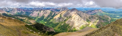
14. Evans Peak Trail
Difficulty
The hike up to Evans Peak is an ideal day trip for those looking to… Read More
15. Coquitlam Crunch Trail
Difficulty
The Coquitlam Crunch Trail is an urban hiking route purposefully designed to provide hikers with… Read More
16. Buntzen Lake Loop
Difficulty
The Buntzen Lake Loop is a 7.5mi trail around the shores of Buntzen… Read More
17. Mundy Park Trail
Difficulty
The Mundy Park Trail is a densely-forested hiking path through Coquitlam’s largest park and has… Read More
18. Hayward Lake Trail
Difficulty
The Hayward Lake Trail is a 10.9mi route near Mission, BC, that loops… Read More
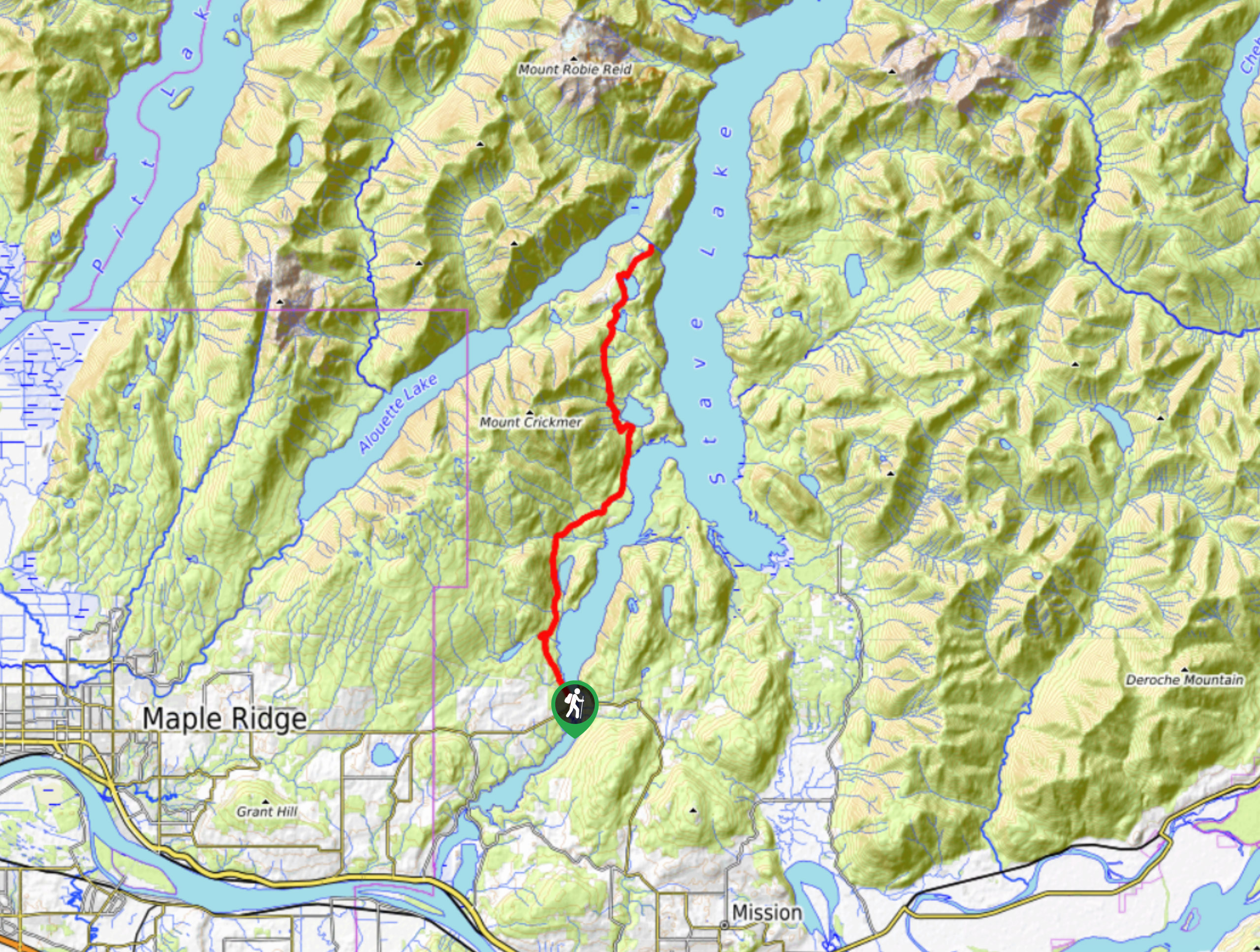
19. Alouette Lake Trail
Difficulty
The Alouette Lake Trail is a fun 9.5mi out-and-back trail that takes you… Read More
20. Eagle Mountain Powerline Trail
Difficulty
The Eagle Mountain Powerline Road is a fairly easy-going 5.1mi out-and-back route that… Read More
21. Coquitlam Lake View Trail
Difficulty
The Coquitlam Lake View Trail is a 6.1mi out-and-back route that passes through… Read More
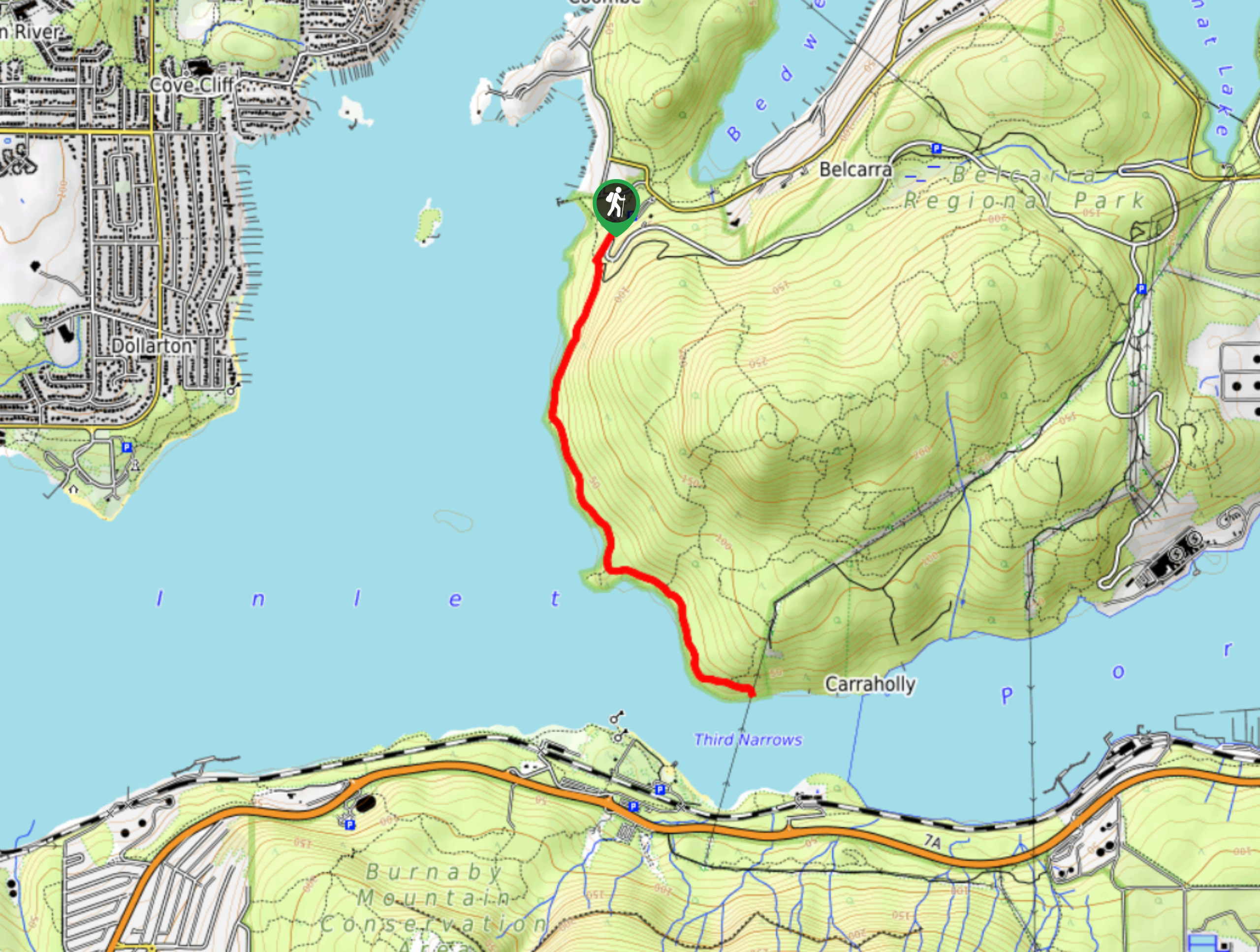
22. Admiralty Point Trail
Difficulty
The Admiralty Point Trail is a short 3.3mi out-and-back hike that hugs the… Read More
23. Admiralty Point Loop
Difficulty
The Admiralty Point Loop is a 6.5mi trail that follows along the coastline… Read More
24. Alouette Mountain Trail
Difficulty
The Alouette Mountain Trail is a 12.4mi out-and-back route in Golden Ears Provincial… Read More
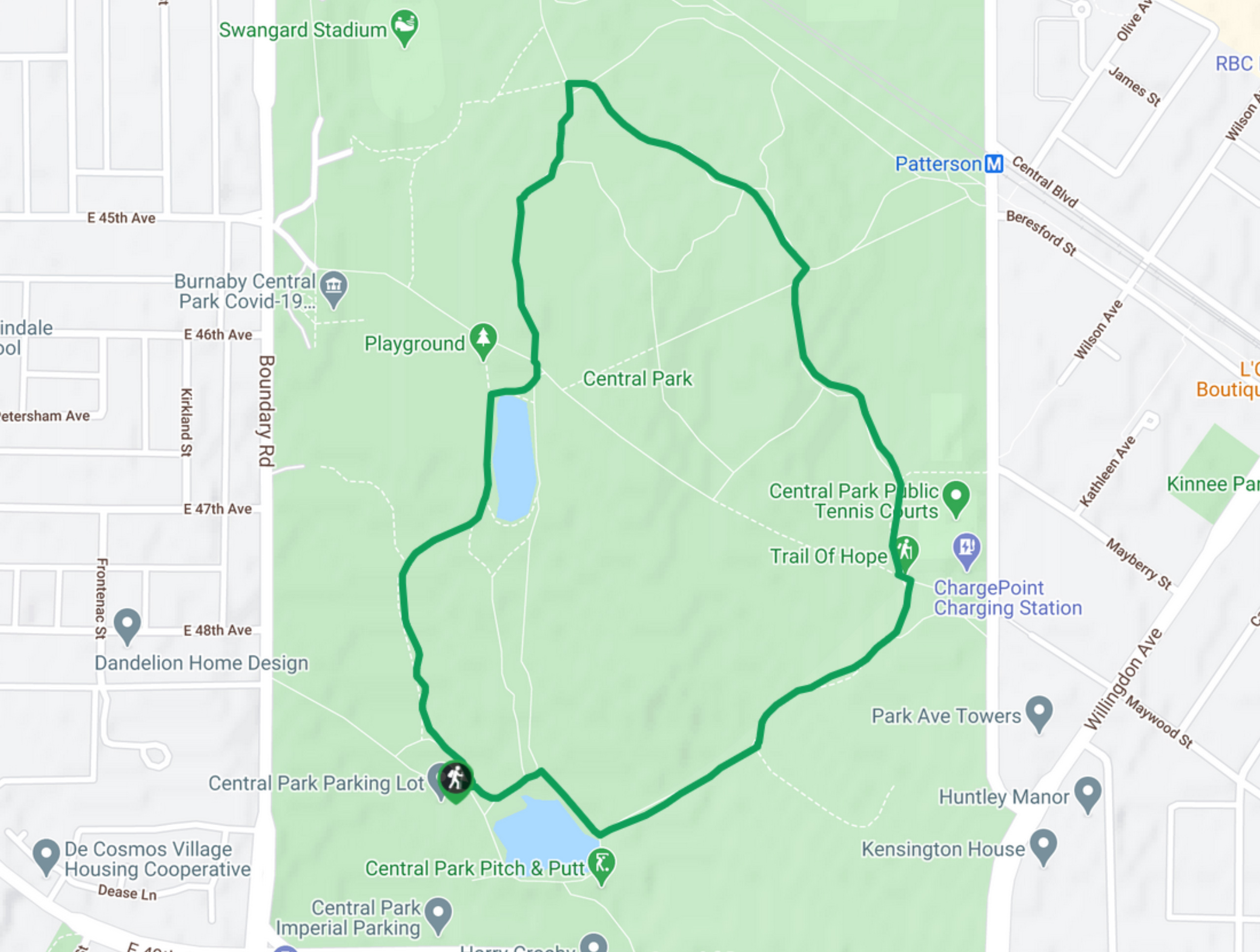
25. Confederation Nature Trail
Difficulty
The Confederation Nature Trail is a short 1.0mi loop with some minor elevation… Read More
26. Coquitlam River Trail
Difficulty
The Coquitlam River Trail is a beautifully scenic hike that skirts alongside the Coquitlam River… Read More
27. Cypress Lake Trail
Difficulty
The Cypress Lake Trail is a 5.7mi out-and-back that passes through the dense… Read More
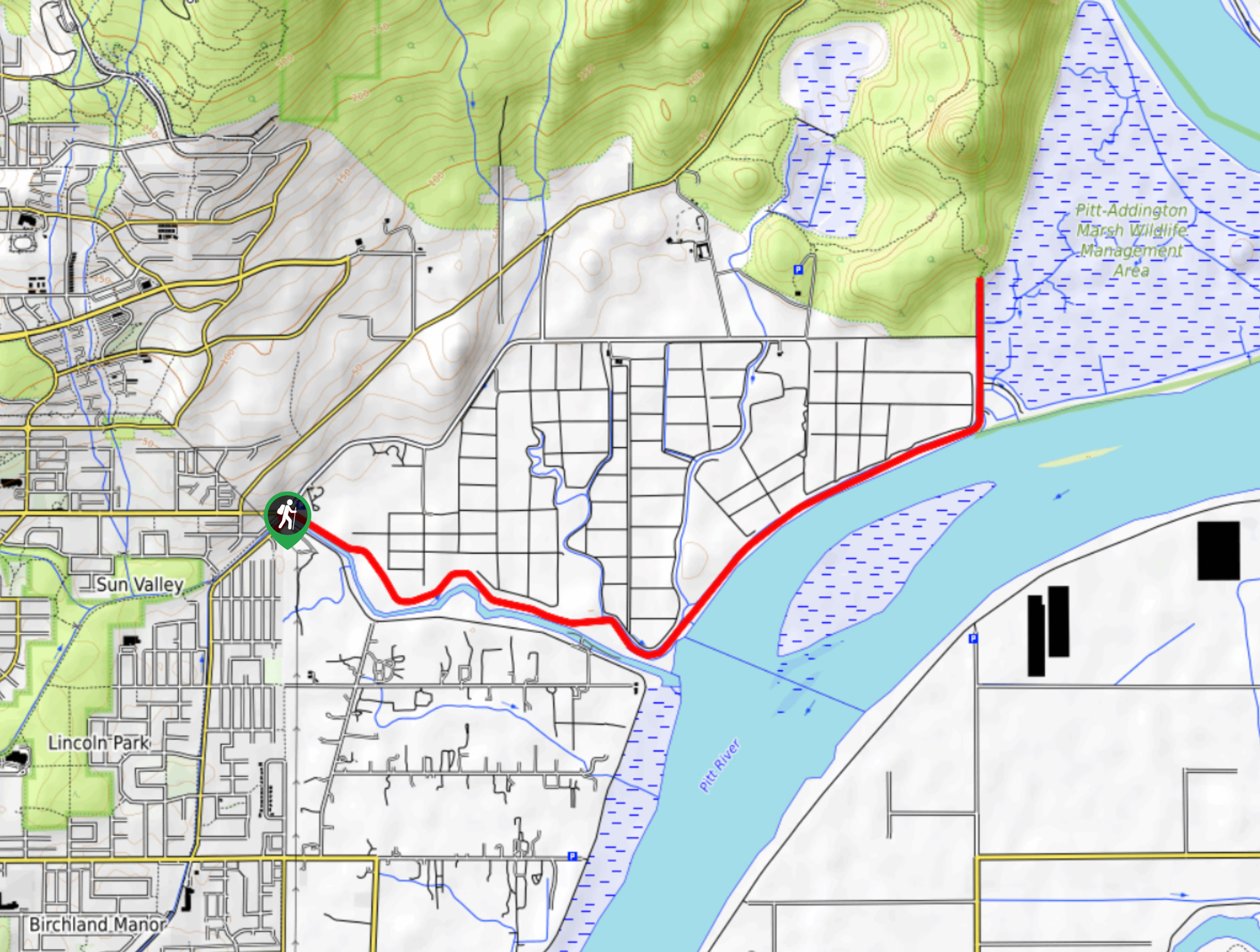
28. DeBoville Slough to Addington Lookout
Difficulty
The hike along DeBoville Slough to Addington Marsh is an easy 6.0mi out-and-back… Read More
29. Velodrome Trail
Difficulty
The Velodrome Trail is a quick 1.7mi out-and-back hike along the slopes of… Read More
30. Robert Burnaby Park Loop
Difficulty
Looking to immerse in nature and escape the chaotic city? The Robert Burnaby Park Loop… Read More
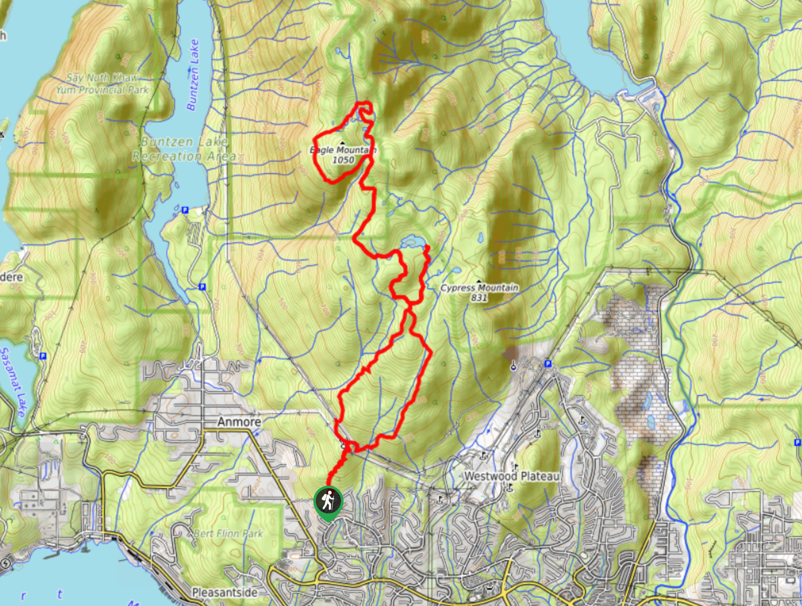
31. Eagle Mountain and Cypress Lake Trail
Difficulty
The Eagle Mountain and Cypress Lake Trail is an 11.7mi route that passes… Read More
32. East Canyon Trail
Difficulty
The East Canyon Trail is an easy 6.8mi out-and-back route that travels alongside… Read More
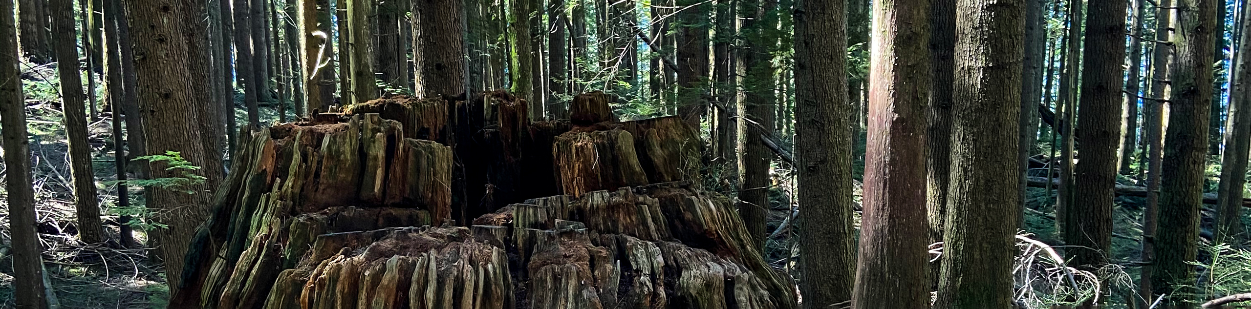
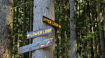
33. Woodland Walk Trail
Difficulty
The Woodland Walk Trail is an awesome forested hike through Pinecone Burke Provincial Park that… Read More
34. Trail of Hope
Difficulty
The Trail of Hope is a 1.4mi loop route through the network of… Read More
35. Swan Falls Loop Trail
Difficulty
The Swan Falls Loop is a difficult 9.4mi route that climbs up steep… Read More
36. Lower Falls Loop Trail
Difficulty
The Lower Falls Loop Trail is an easy 3.6mi out-and-back route in Golden… Read More
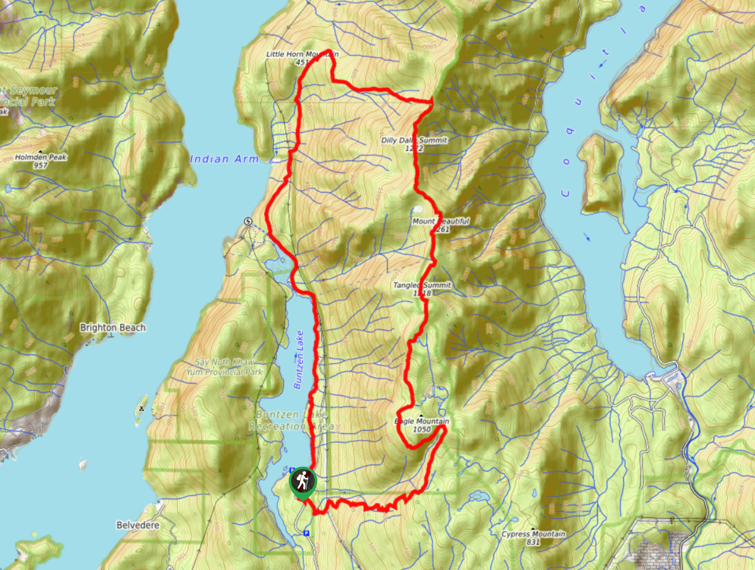
37. Dilly Dally Loop Trail
Difficulty
The Dilly Dally Loop Trail is a 14.8mi trail near Buntzen Lake that… Read More
38. Golden Ears Canyon Loop
Difficulty
The Golden Ears Canyon Loop is a 6.5mi route through the beautiful West… Read More
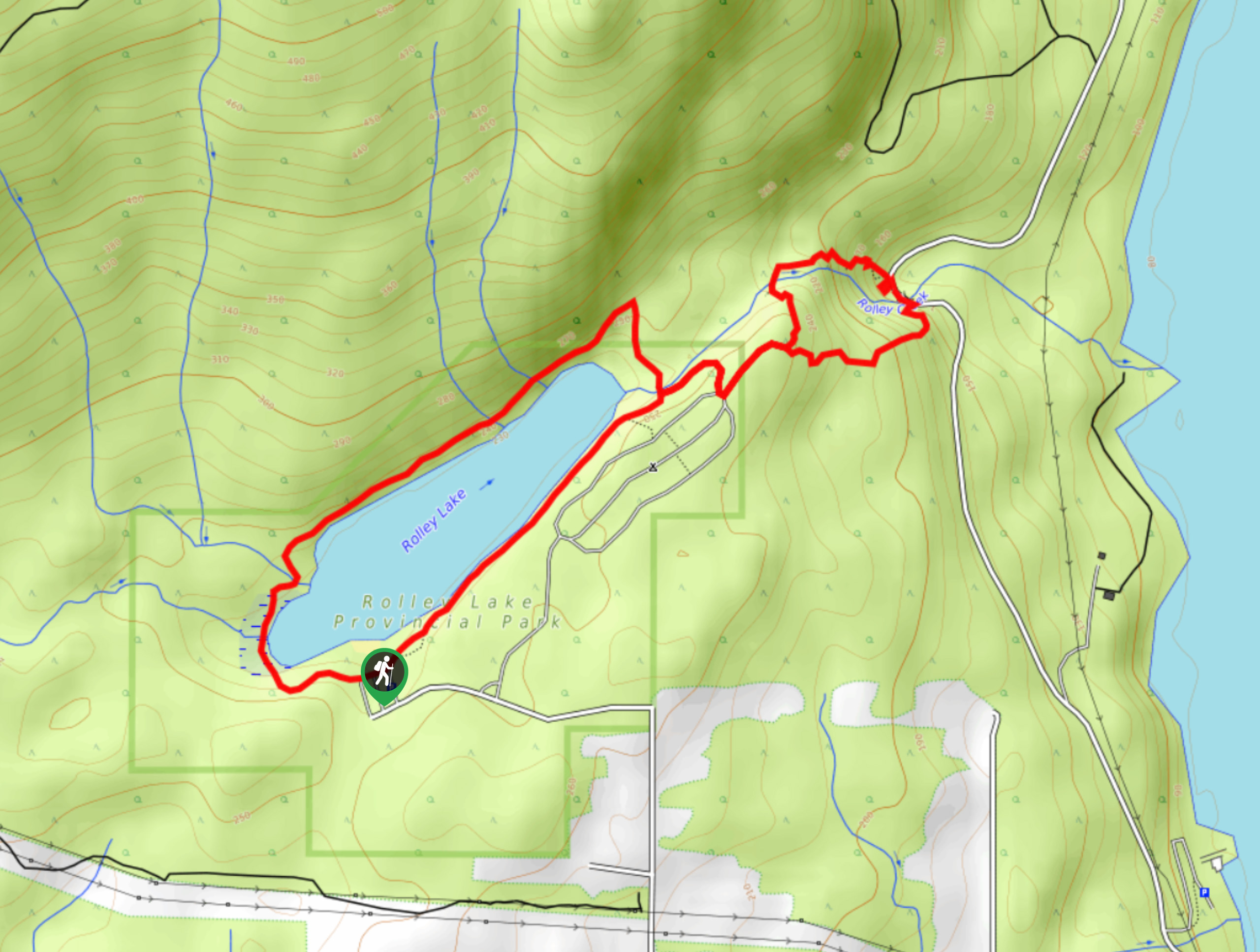
39. Rolley Lake Trail
Difficulty
The Rolley Lake Trail travels along a 2.9mi loop through Rolley Lake Provincial… Read More
40. Florence Lake Forest Service Road
Difficulty
The Florence Lake Forest Service Road is a lengthy out-and-back trail near Maple Ridge, BC… Read More
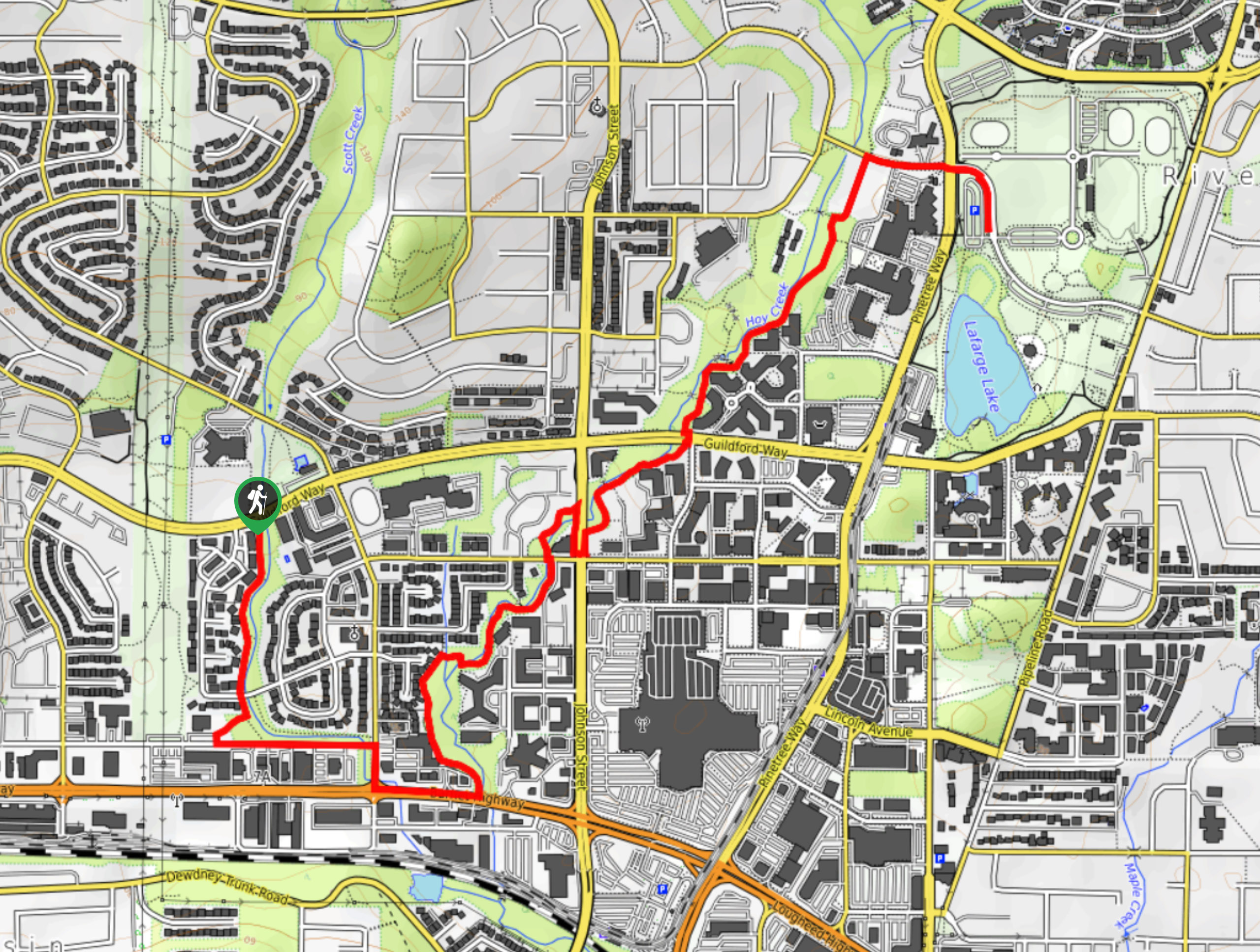
41. Hoy Creek & Scott Creek Trail
Difficulty
The Hoy Creek & Scott creek Trail is an urban hiking route in the city… Read More
42. Quarry Road Hike
Difficulty
The Quarry Road Hike is a 5.8mi out-and-back route that sets out from… Read More
43. Katzie Marsh Loop
Difficulty
The Katzie Marsh Loop is a beautiful 4.1mi hike through the wetlands of… Read More
44. Port Moody Shoreline Trail
Difficulty
The Port Moody Shoreline Trail is a 3.6mi out-and-back route that follows along… Read More
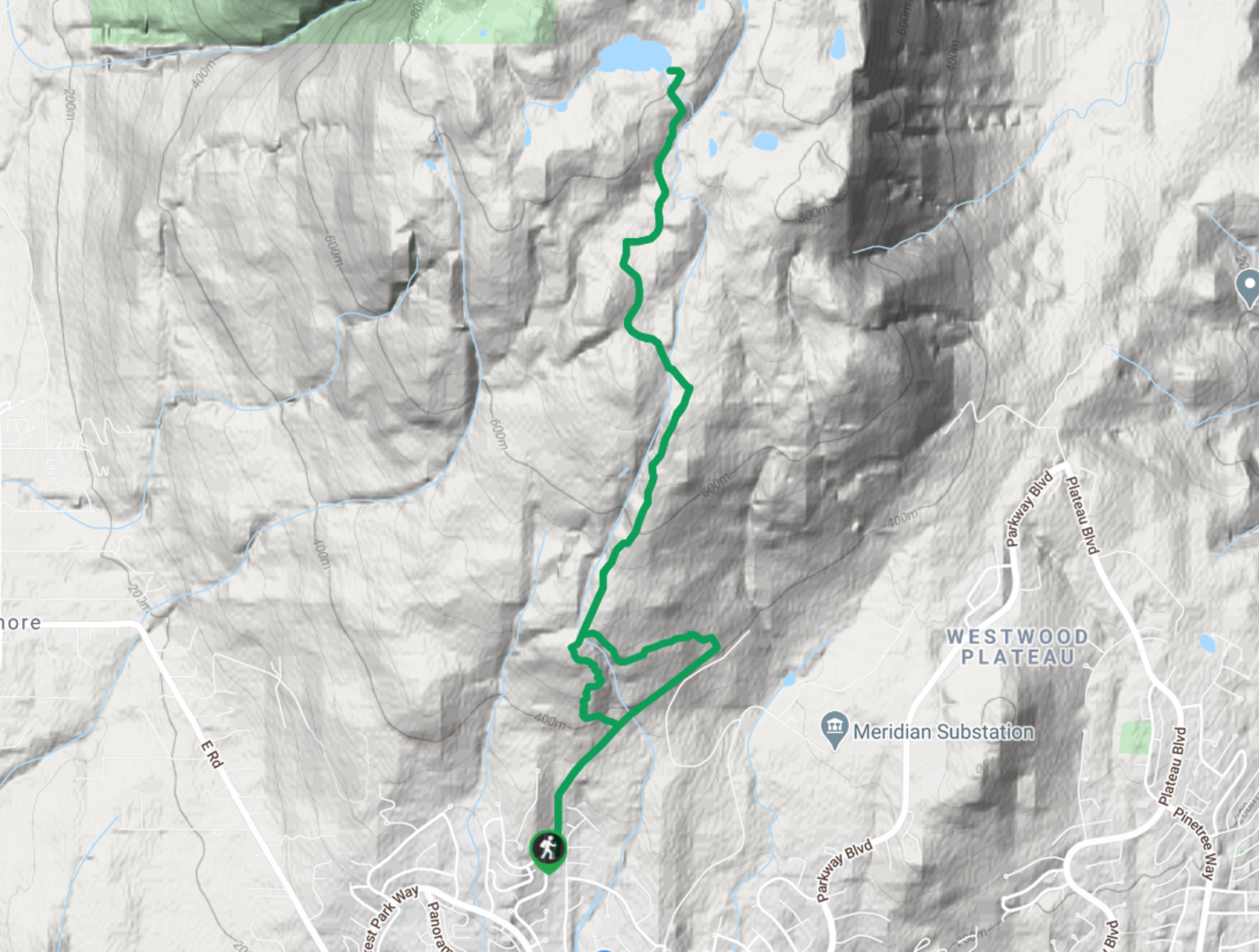
45. Ridge Park Loop
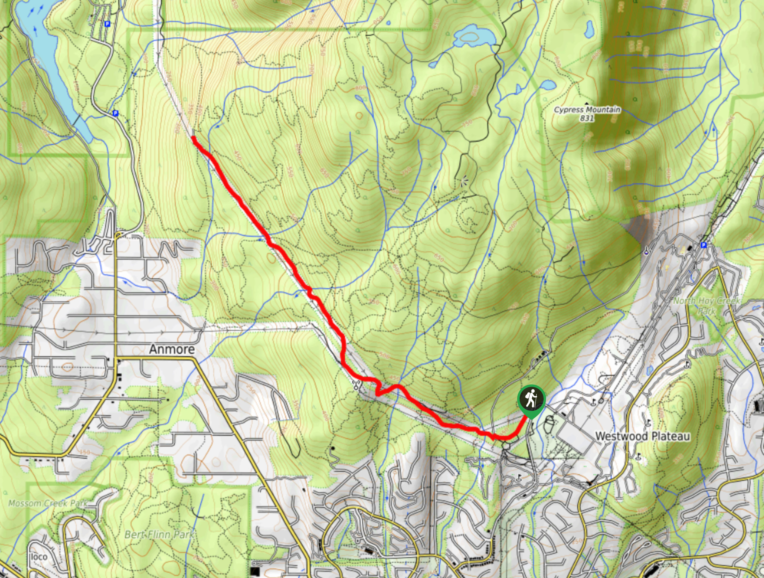
Difficulty
The Ridge Park Loop is a fun hike that travels along the Westwood Plateau and… Read More
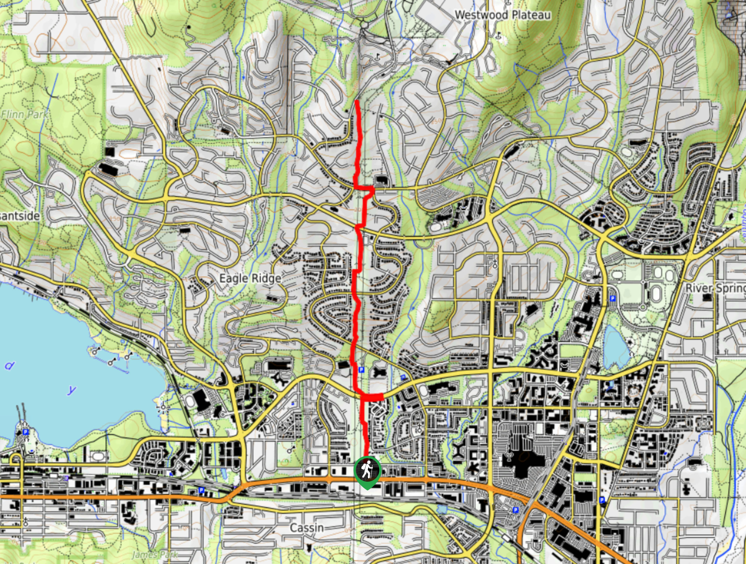
46. Eagle Ridge Trail
Difficulty
The Eagle Ridge Trail is a fantastic hiking route that sets out from Buntzen Lake… Read More
47. Lungbuster Trail to Cypress Lake
Difficulty
The Lungbuster Trail is a challenging 5.1mi out-and-back hiking route near Coquitlam, BC,… Read More
48. Quarry Trail
Difficulty
The Quarry Trail is a scenic hike through the beautiful wetlands of Minnekhada Regional Park… Read More
49. Trans Canada and Pandora Trail Loop
Difficulty
The Trans Canada and Pandora Trail Loop is a combination of several trails within the… Read More
Are we missing your favourite hike?
Tell us! If you've got photos, a GPS track and know the hike, we'd love to share your favourite hike with the rest of the 10Adventures community.