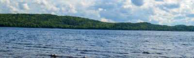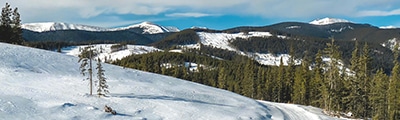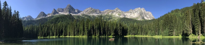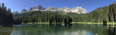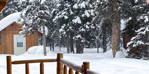
hikes in North Vancouver Island
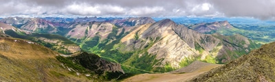
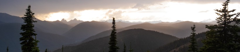
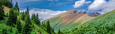
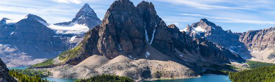
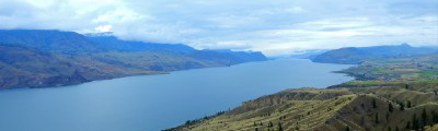
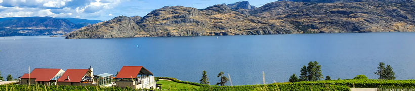
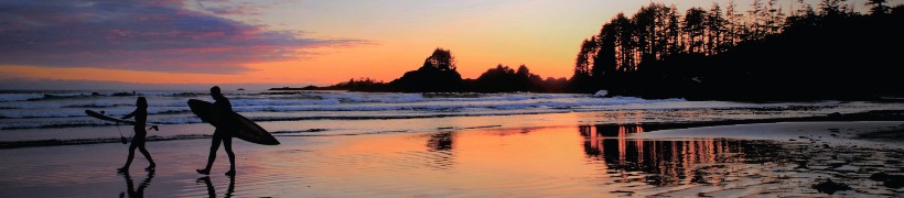
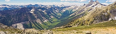
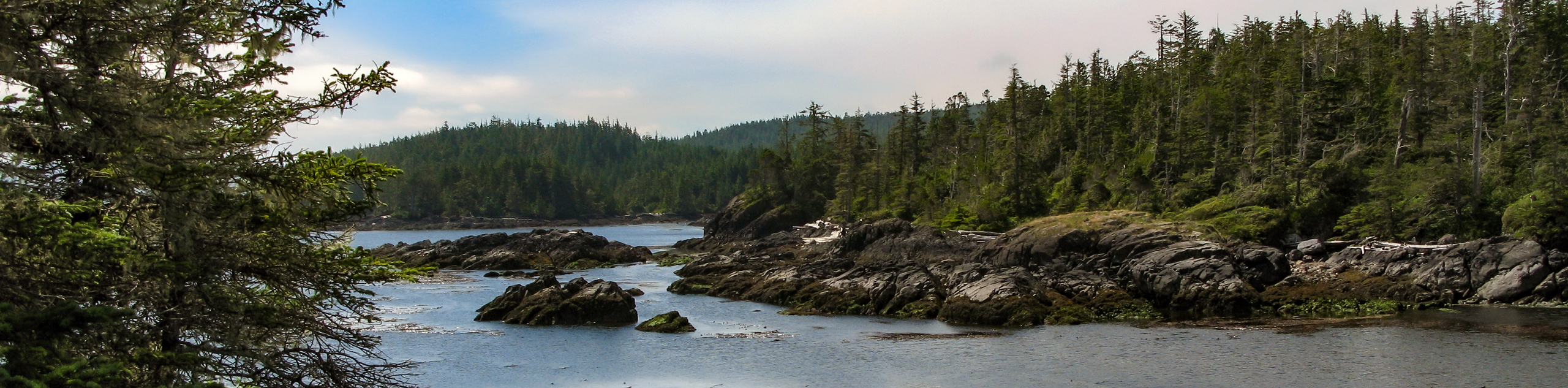
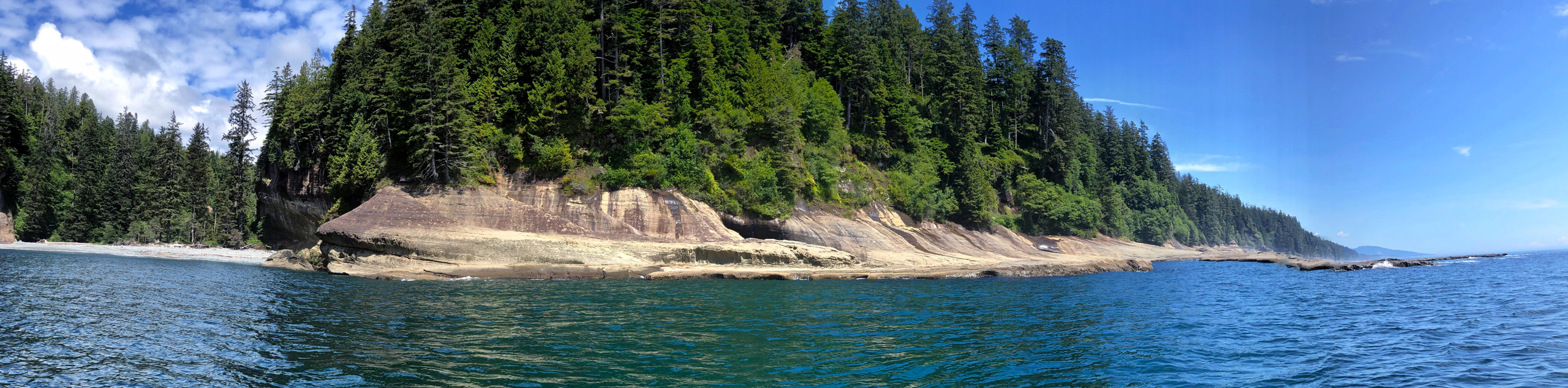
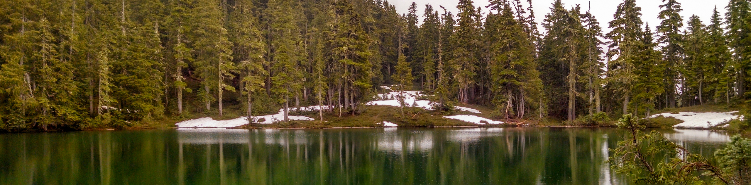
A wilderness unlike any other in Canada, North Vancouver Island is a rugged landscape that is filled with dramatic scenery and a diverse range of wildlife species that call this remote and relatively untouched region home. Sweeping to the northwest from Campbell River to the windy point of Cape Scott, this majestic land exemplifies the meaning of the word untamed.
Unlike other parts of the island where recreational activities like skiing and mountain biking are more popular amongst outdoor enthusiasts, North Vancouver Island and its fascinating flora, fauna, and geography is a popular destination for ecotourism. Whale watching along the jagged coast and bear-sighting in the area’s dense forests are prime examples of some of the wildlife excursions that are popular in the area. So whether you are looking for a guided tour to encounter the diverse wildlife of the region or simply to explore the backcountry on a multi-day trek through the wilderness, a journey to North Vancouver Island is sure to be a wild and unforgettable experience.
The 10 Most Amazing Hikes In North Vancouver Island
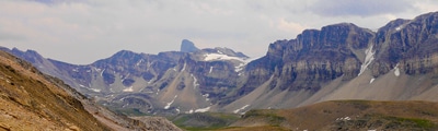
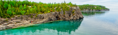
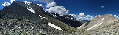
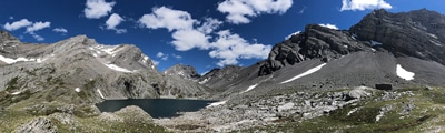
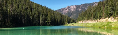
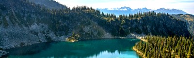
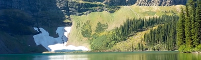
One of the more remote parts of an already remote island, North Vancouver Island offers a wealth of hiking opportunities that range from easily accessible walks along the coast to rugged backcountry treks through some pretty unforgiving terrain. Most of the communities along the coast will feature family-friendly trails, allowing you to experience the natural beauty of both the vast Pacific Ocean and the jagged, rocky shoreline in a fun and safe manner. For those looking to experience the true wilderness of the region, try heading out on a multi-day adventure along the Cape Scott and North Coast Trails to really lose yourself in the awe and mystique of the fascinating landscape. No matter your skill level, there are countless trails that are begging to be explored. Check out this list of 10 amazing North Vancouver Island hikes that we’ve put together:
- Little Huson Caves: This short trail is a wonderful forested hike that will take you to a system of naturally-occuring karst caves that can be explored by adventurous hikers. Well-maintained trails make this a suitable hike for all ages and skill levels, just make sure to keep an eye on any children in and around the caves themselves.
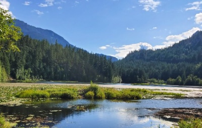
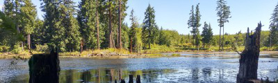
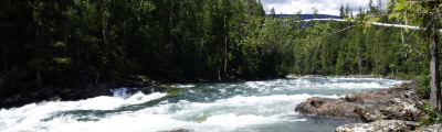
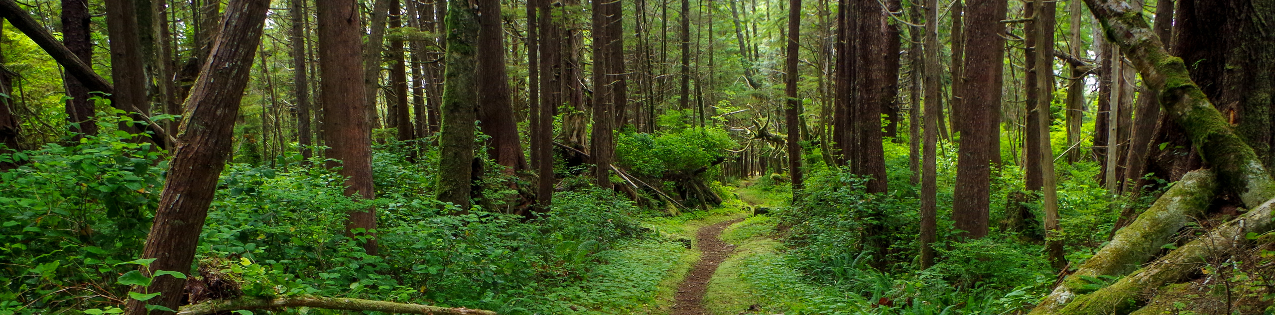
- Fort Rupert Trail: The Fort Rupert Trail is a moderate length hiking route that will take you through a beautiful stretch of West Coast temperate rainforest. While out on the trail, you can expect a nice variety of terrain that will see you through the lush and vibrant landscape of the rainforest.
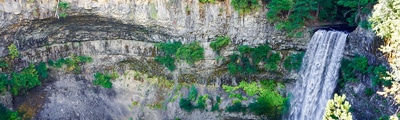
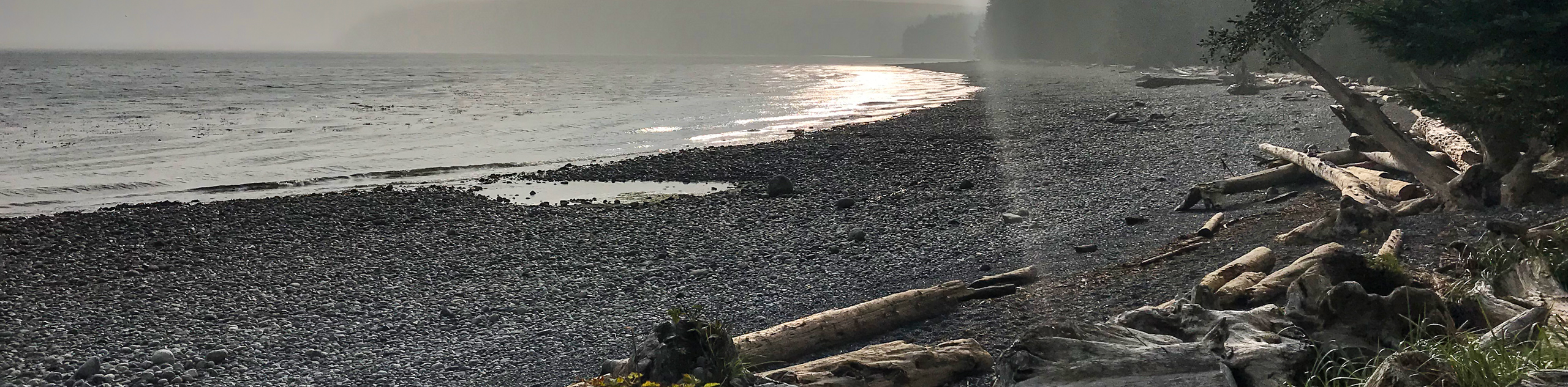
- Raft Cove Trail: This quick out-and-back hike in Raft Cove Provincial Park will take you down to a beach along the Pacific Ocean by means of a rainforest trail. There is a bit of rugged terrain along this route that could prove troublesome for less mobile hikers; however, the amazing views are more than an ample reward for the effort.
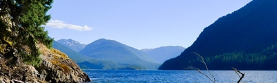
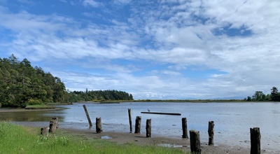
- Marble River Trail: Showcasing the natural beauty of the forests within Marble River Provincial Park, this hike follows a fantastic riverside trail, providing some nice views of the water and the near-magical atmosphere created by the second-growth forests of the area.
- San Josef Bay: This remote trail on the northwest tip of Vancouver Island will lead you to two stunning beaches in Cape Scott Provincial Park. While out on the trail, you will work your way through the forest to arrive at the white sandy beaches of San Josef Bay, a welcome sight after a good day of hiking.
- Bere Point Trail: Hiking the Bere Point Trail on Malcolm Island is an amazing experience that will lead you through the thick cover of the temperate rainforest for some breathtaking views that stretch out towards the mainland. Gorgeous ancient trees and a vibrant green forest setting make this a special hike that is filled with a charming atmosphere that you won’t soon forget.
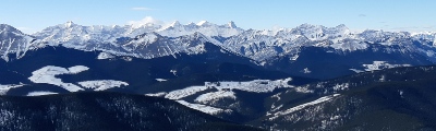
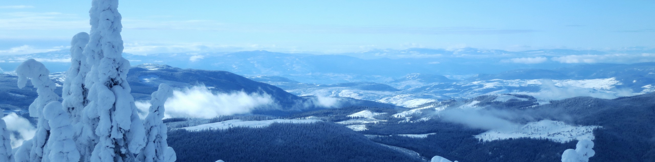
- Kusam Klimb Trail: This lengthy hiking route near Sayward is a tough climb through the forest that will eventually see you loop around the summit of H’Kusam Mountain. Stunning views of Vancouver Island await on this challenging adventure with varied terrain.
- Upana Caves Trail: Another super short trail leading to a series of underground caves, the Upana Caves Trail will lead you through a tranquil stretch of forest and provide the chance to explore the terrain below the surface of the island.
- Microwave Tower Trail: Although it may not be the most scenic hike on this list, the Microwave Tower Trail is a great hike along a gravel service road that is very well-maintained, making it suitable for a wide range of hikers. While out on the trail, you will have some nice views of the surrounding forest and partial views of the nearby coastal landscape.
- Dakota 576 Crash Site Trail: This trail is a great adventure that will take you from Bear Cove to the site of a 1944 RCAF plane crash. While rugged, the route isn’t very difficult and provides the chance to take in some beautiful landscape views, in addition to visiting a unique historical site.
When is the Best Time to Hike in North Vancouver Island?
Compared to other parts of the island, North Vancouver Island is less affected by the summer rush of tourists due to its remote nature. This means that the best time to explore this rugged land is in the June-October window, when trail conditions are at their best and the weather is mostly cooperative. While you will likely still see a bit of rain - especially along the west coast - it will be far less than one would experience during the shoulder seasons.
Other Outdoor Activities in North Vancouver Island
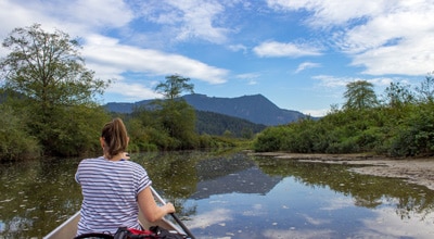
Outside of the region’s many hiking trails, popular outdoor activities in North Vancouver Island are generally centred around ecoadventure, with wildlife tours being a big draw for many tourists. The vast waters of the Pacific Ocean are perfectly suited for boat tours, where many people hope to catch a glimpse of the various species of whale that can be found here. On land, there are a number of tours that aim to bring people close to the habitats of both black and grizzly bears to provide a greater perspective of the life of these majestic animals in the wild. Fishing, kayaking, and canoeing are also popular water sports where people can enjoy the untapped wilderness of the island.
Frequently Asked Questions About North Vancouver Island
Do I need a car to visit North Vancouver Island?
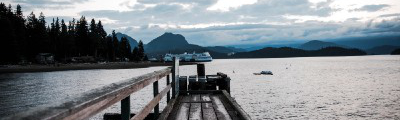
Due to its rough and rugged landscape of countless mountain peaks, large rivers, and vast swathes of forest, North Vancouver Island is a fairly remote region that is best accessible by car. If you are visiting from the mainland, the best option to explore the island is to bring a vehicle across on the ferry.
What towns are in North Vancouver Island?
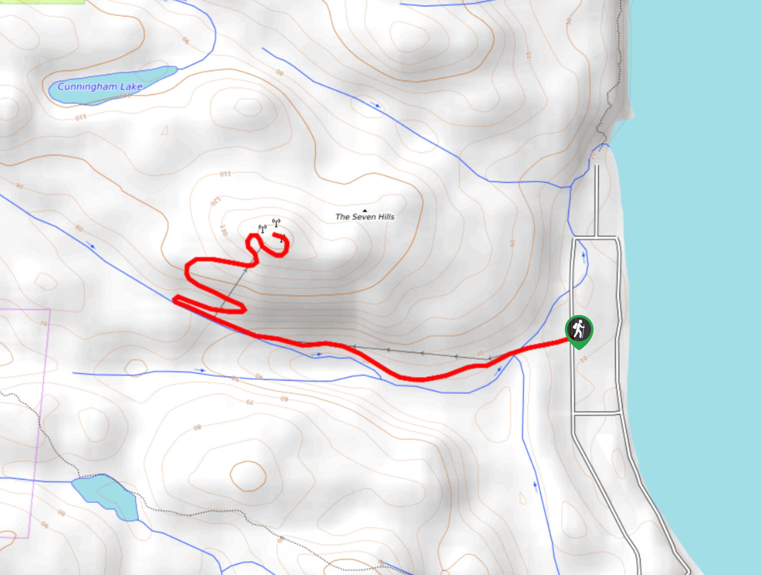
Although remote, there are a number of small communities that can be found dotted across the rugged landscape of North Vancouver Island, providing at least basic amenities for travellers in the area. These include Alert Bay, Coal Harbour, Holberg, Port Alice, Port Hardy, Port McNeill, Quatsino, Sointula, Telegraph Cove, Winter Harbour, Woss, Mount Cain & the Nimpkish Valley.
Read MoreThe best hikes in North Vancouver Island
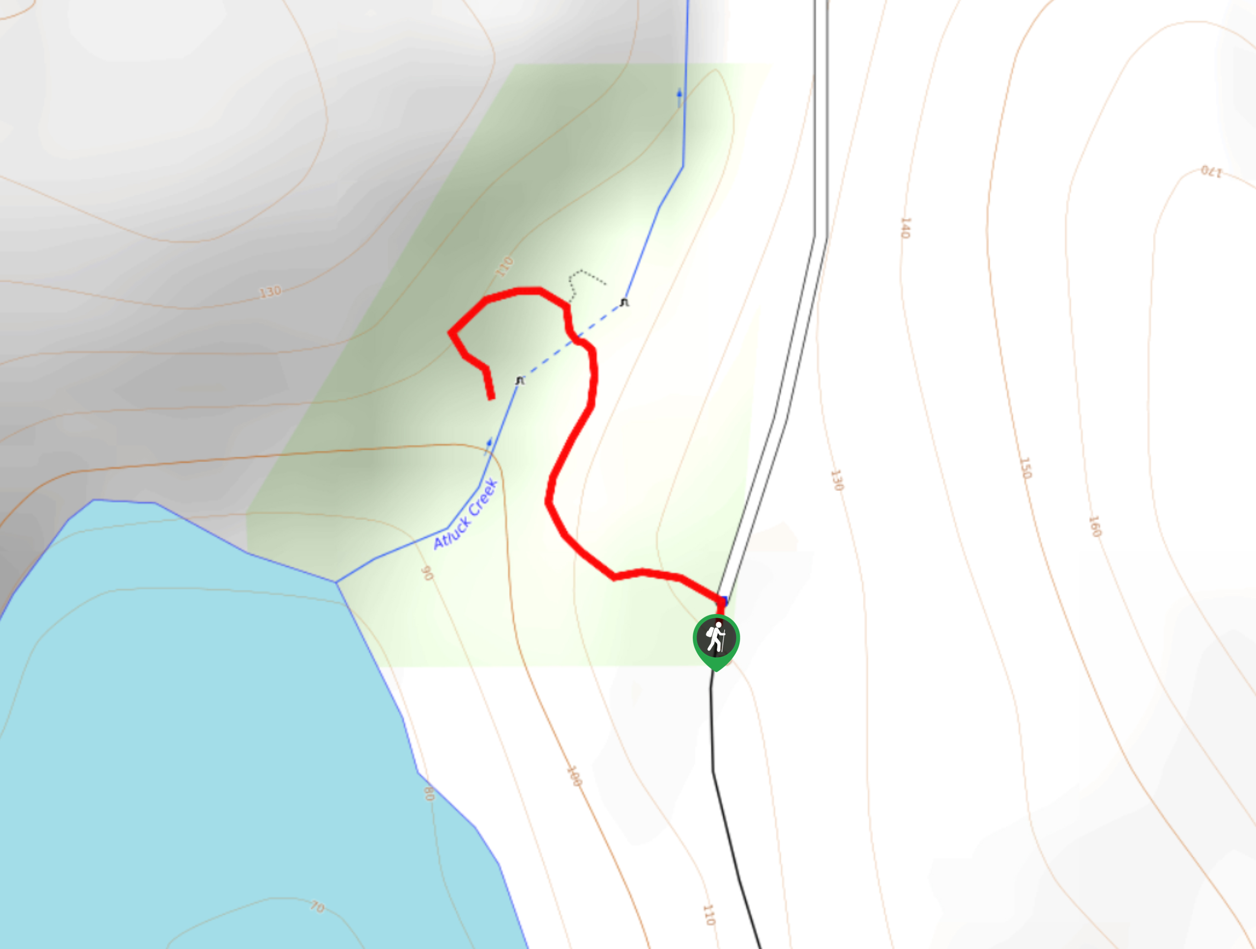
01. Little Huson Caves
Difficulty
Hiking to the Little Huson Caves is a short adventure that will take you through… Read More
02. Fort Rupert Trail
Difficulty
The Fort Rupert Trail is a 4.6mi out-and-back hiking route near Port Hardy… Read More
03. Raft Cove Trail
Difficulty
The Raft Cove Trail is a 2.2mi out-and-back hiking route in Raft Cove… Read More
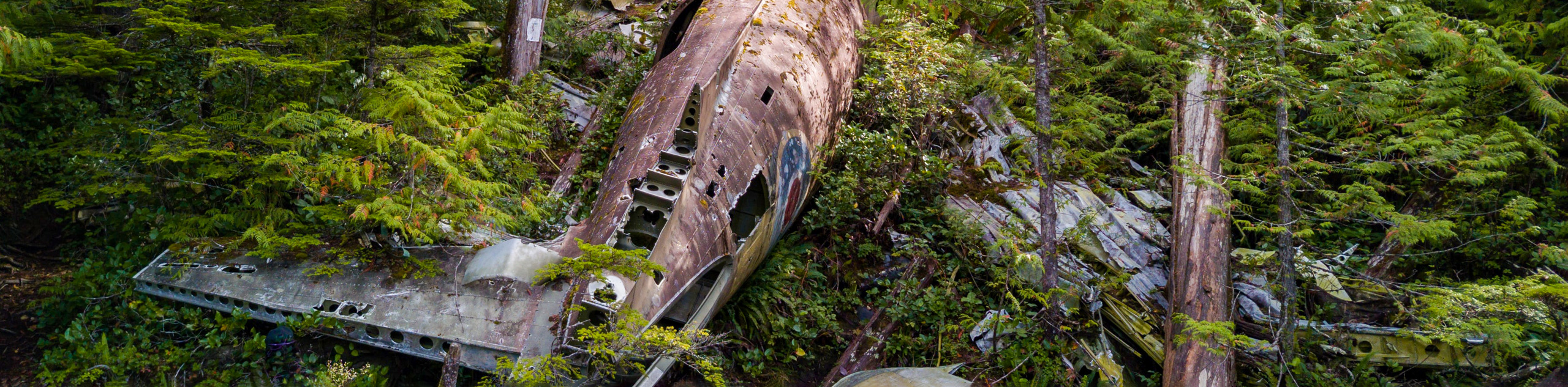
04. Dakota 576 Crash Site Trail
Difficulty
The Dakota 576 Crash Site Trail is a slightly overgrown but fun hiking route that… Read More
05. Kusam Klimb Trail
Difficulty
The Kusam Klimb Trail is a 13.4mi lollipop hiking route near Sayward, BC… Read More
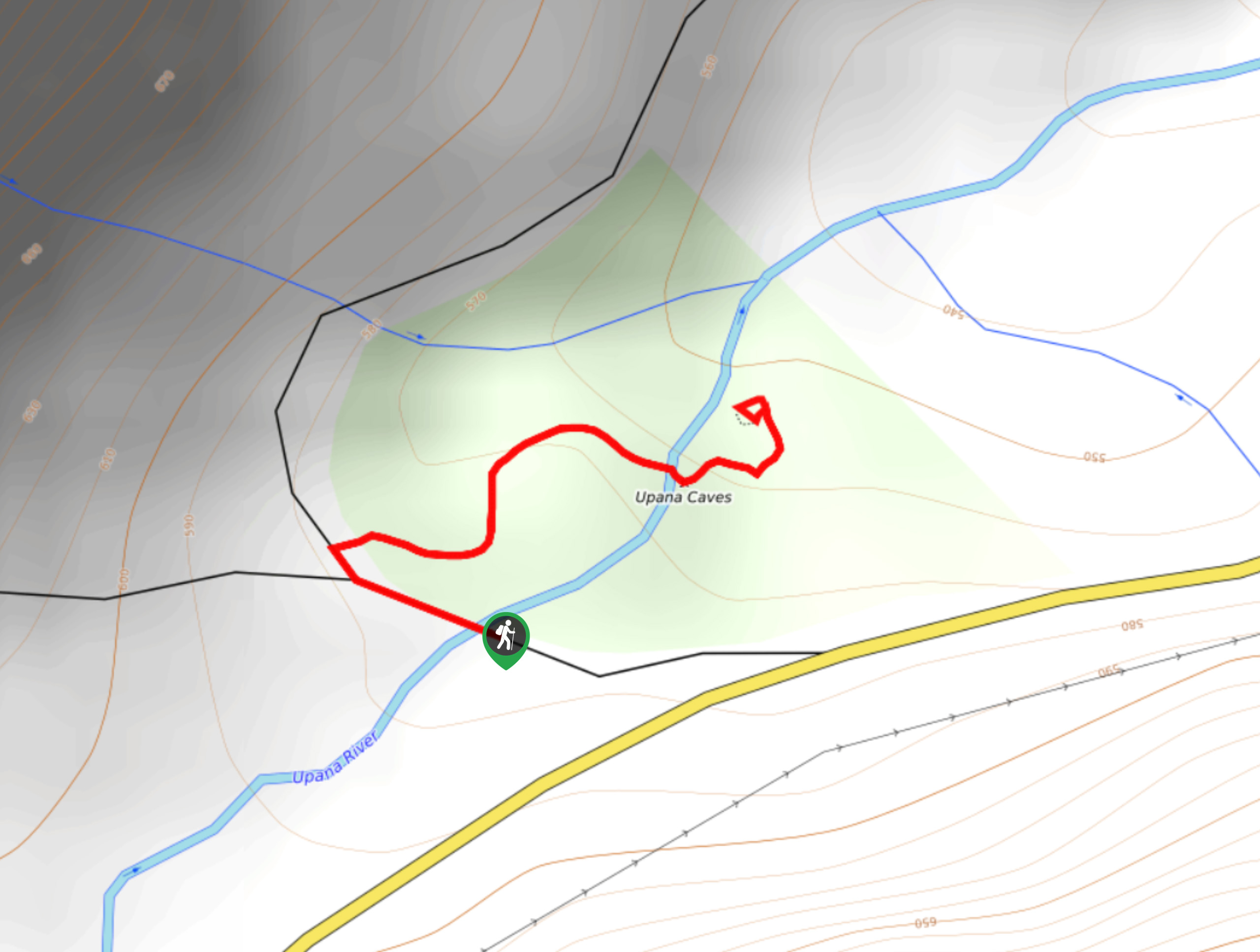
06. Upana Caves Trail
Difficulty
The Upana Caves Trail is a quick 0.4mi lollipop hiking route west of… Read More
07. Microwave Tower Trail
Difficulty
The Microwave Tower Trail is a 3.3mi out-and-back hiking route that climbs uphill… Read More
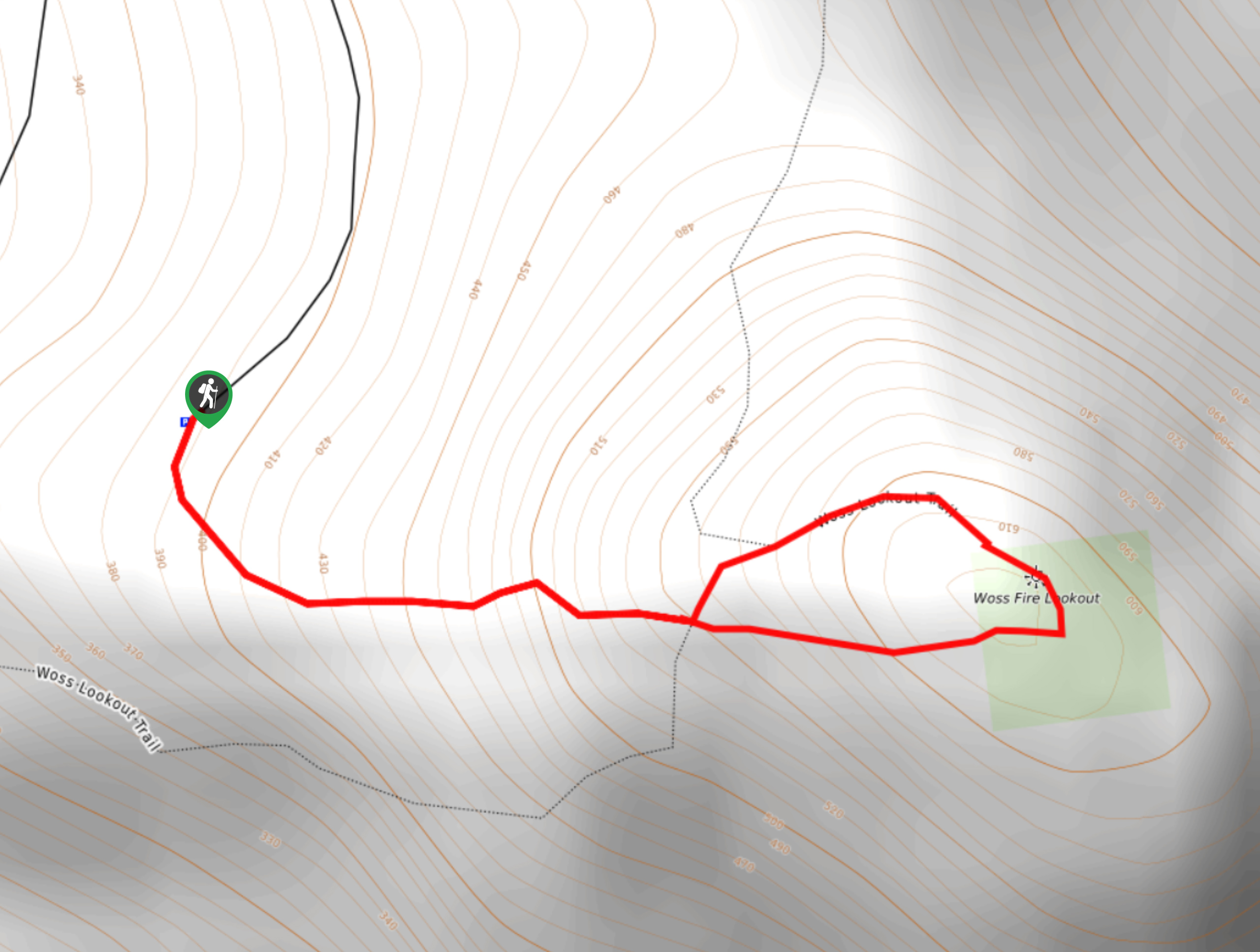
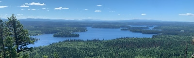
08. Woss Lookout
Difficulty
The hike up to Woss Lookout is one of the best value hikes that you… Read More
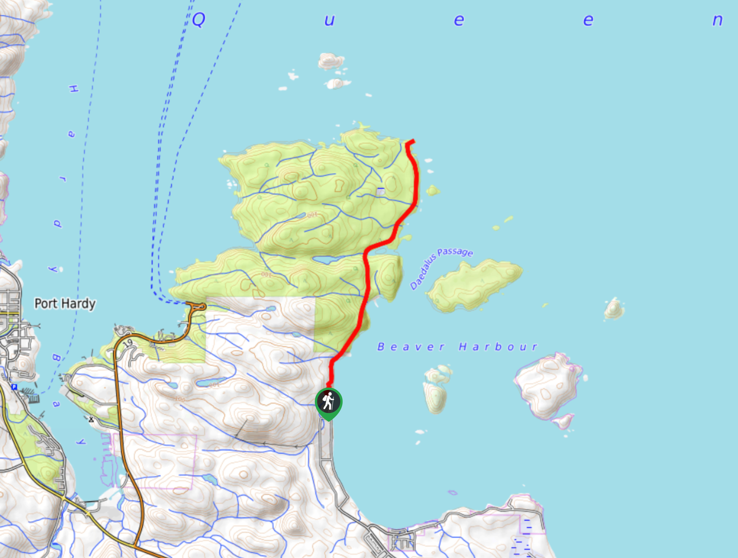
09. Tex Lyon Trail
Difficulty
The Tex Lyon Trail is a 7.9mi out-and-back hiking route near Port Hardy,… Read More
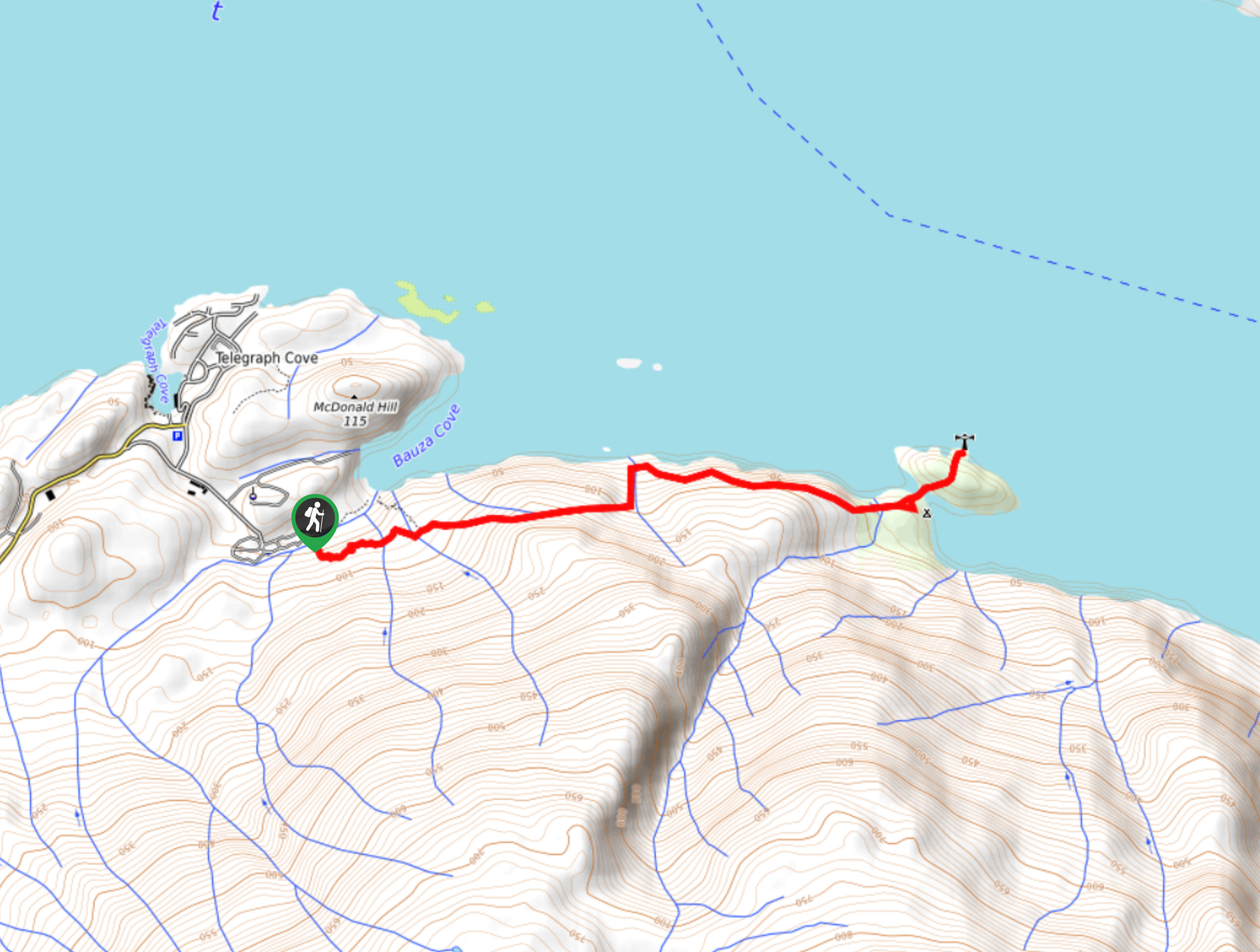
10. Dave Farrant Trail to Blinkhorn Point
Difficulty
The Dave Farrant Trail to Blinkhorn Point is a 47.8mi out-and-back hiking route… Read More
Yes, there are more than 10
North Vancouver Island is so beautiful that we can not give you only 10 hikes. So here is a list of bonus hikes in North Vancouver Island that you should take a look at as well
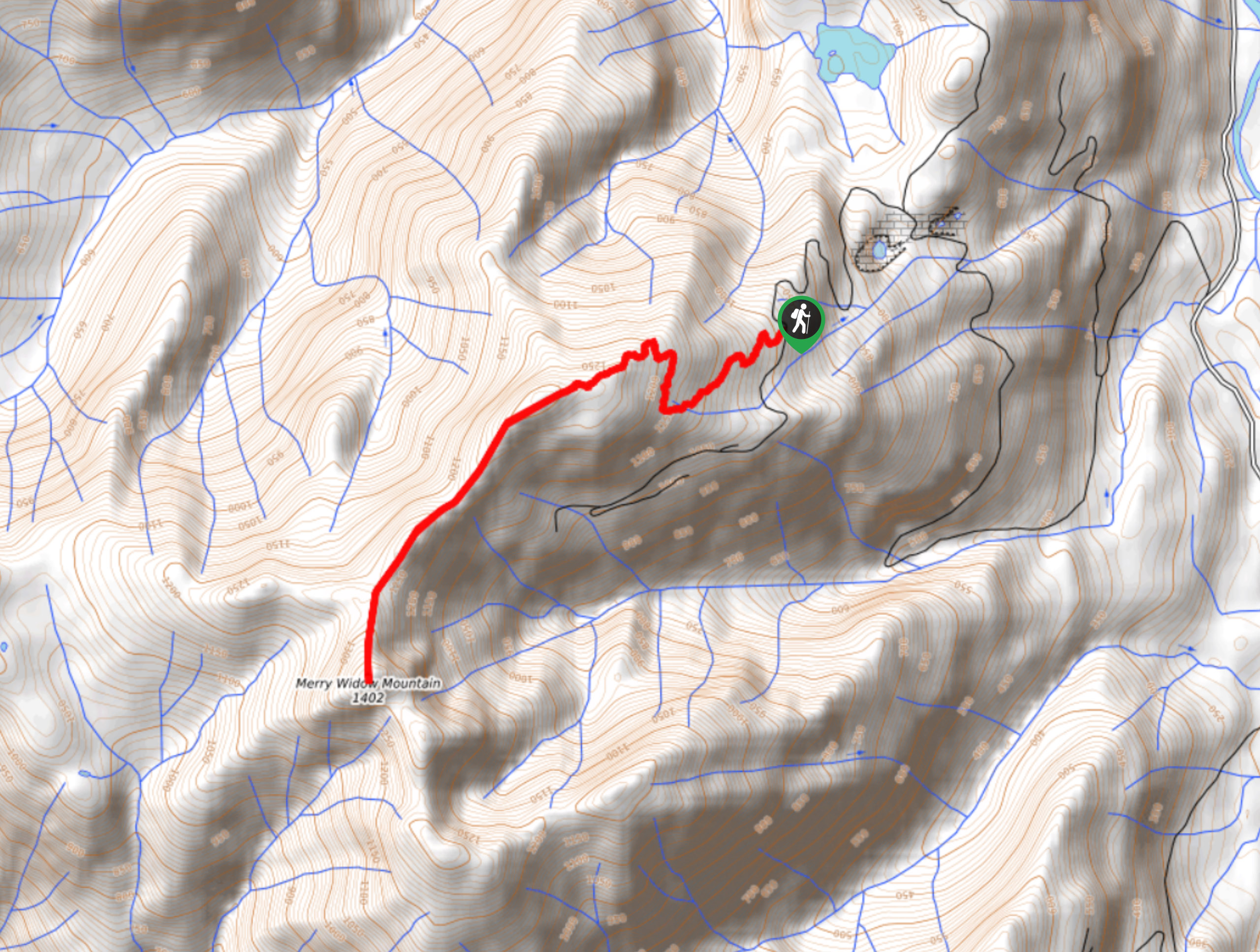
11. Merry Widow Ridge
Difficulty
The Merry Widow Ridge Trail is a 4.3mi out-and-back hiking route on the… Read More
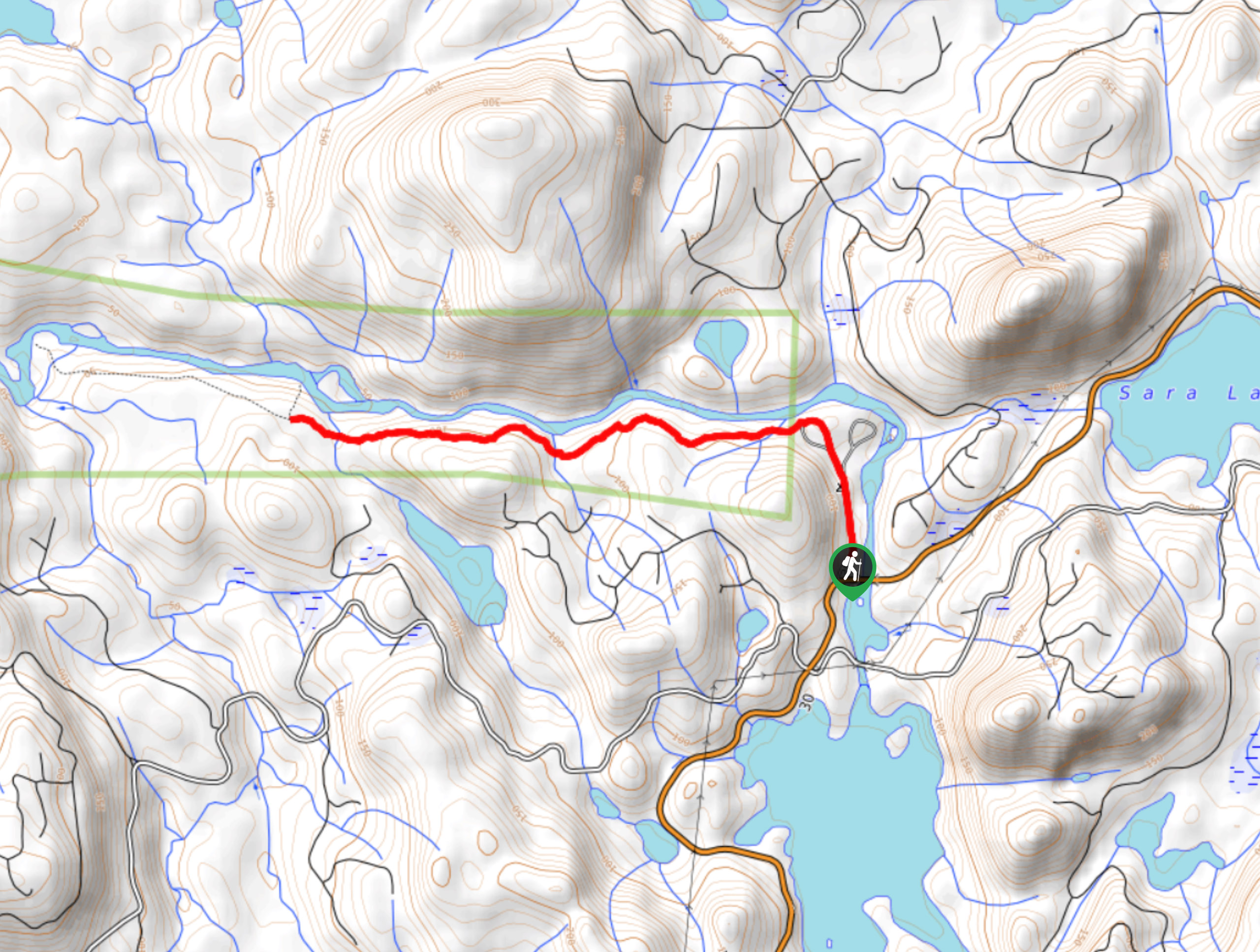
12. Marble River Trail
Difficulty
The Marble River Trail is a 4.0mi out-and-back hiking route within Marble River… Read More
13. San Josef Bay
Difficulty
The San Josef Bay hike follows an 5.4mi out-and-back route through Cape Scott… Read More
14. Bere Point Trail
Difficulty
The Bere Point Trail is a 6.5mi out-and-back hiking route near Sointula on… Read More
15. Tod Mountain via Altitude Trail
Difficulty
Tod Mountain via Altitude Trail is a 6.0mi lollipop hiking route at the… Read More
Are we missing your favourite hike?
Tell us! If you've got photos, a GPS track and know the hike, we'd love to share your favourite hike with the rest of the 10Adventures community.