hikes in Kananaskis Country
We love hiking in Kananaskis Country. There is so much hiking in The Kananaskis that we have broken the region into four smaller regions. These regions are based around major access roads into the Kananaskis. You can see the regions in the icons below.
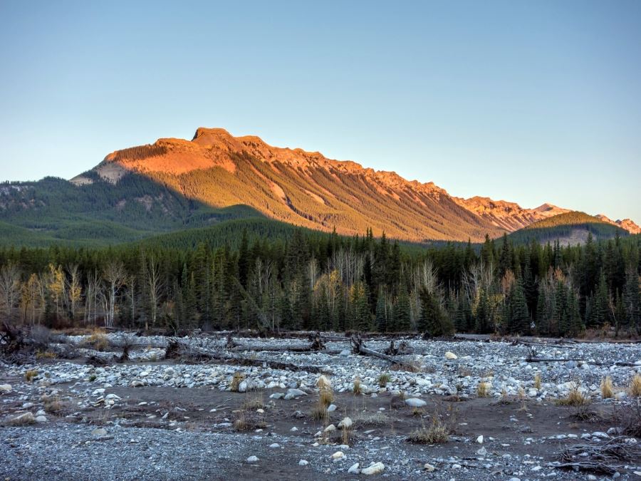
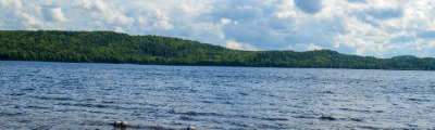
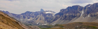
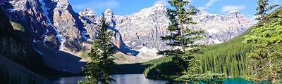
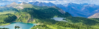
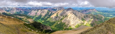
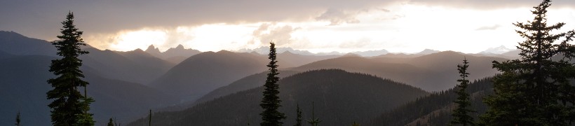
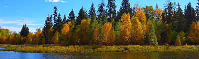
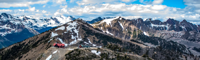
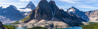
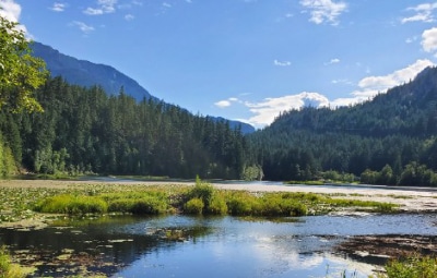
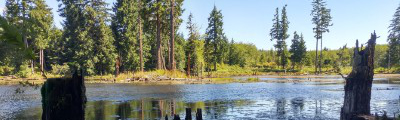
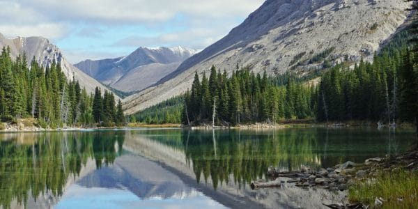
Located south of Banff National Park, Kananaskis Country (also known as K-country or The Kananaskis) is a stunning collection of provincial parks that is still largely undiscovered by tourists. This means you can usually expect fewer crowds on hikes in the Kananaskis compared to hikes in Banff National Park.
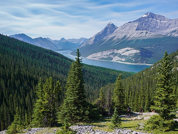
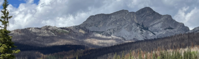
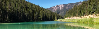
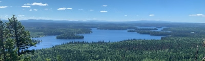
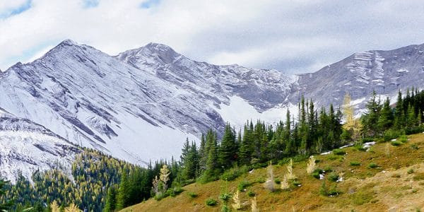
The main access road into the Kananaskis is along Highway 40, also known as Kananaskis Trail. We also include the hikes around the Kananaskis Lakes in this region. The best hikes along Highway 40 includes hikes in Bow Valley Wildland Provincial Park and Elbow-Sheep Wildland Provincial Park. There is a summer-only area at the southern end of Highway 40 known as the Highwood, which has some incredible family-friendly hikes.
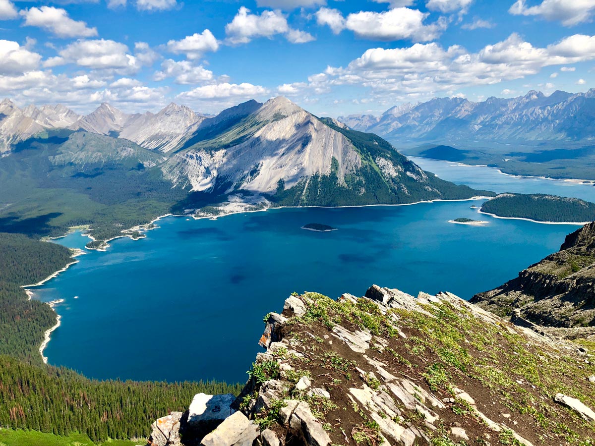
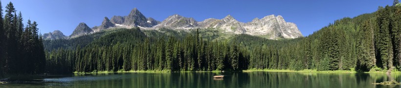
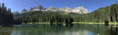
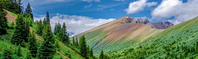
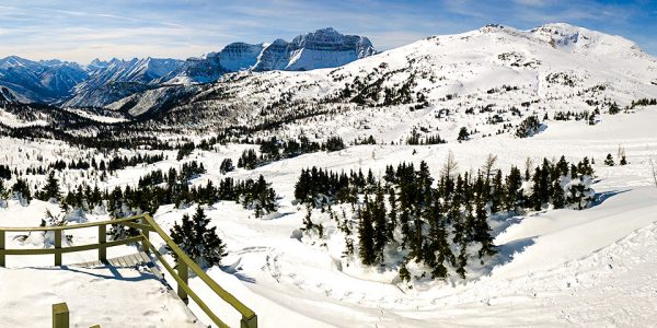
The other major access road into the Kananaskis is Highway 742 (Smith Dorrien Trail). The best hikes along the Smith Dorrien includes hikes in Spray Valley Provincial Park and hikes in Peter Lougheed Provincial Park.
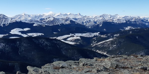
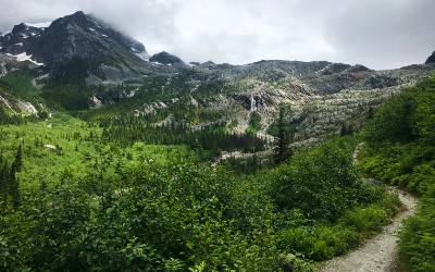
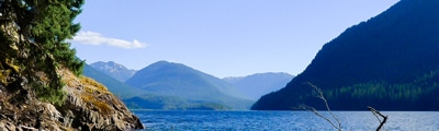
Finally, there are two main access roads that go from east to west into Kananaskis. The first road is Highway 66, which includes great hikes around Bragg Creek and out on Highway 66 towards Little Elbow, and is adjacent to Don Getty Wildland Park. The second road is Highway 546, which leads to hikes in Sheep River Provincial Park and Bluerock Wildland Provincial Park. These hikes along the Sheep River and combined in a region with hikes
Read More