hikes in Sibbald Creek Trail
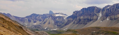
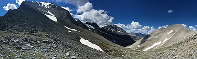
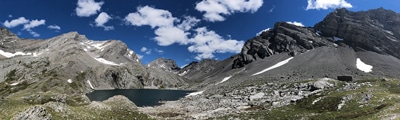
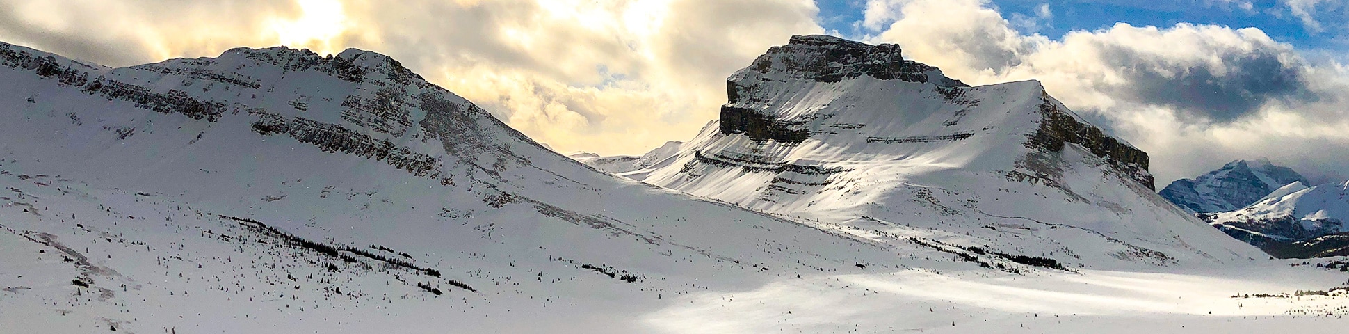
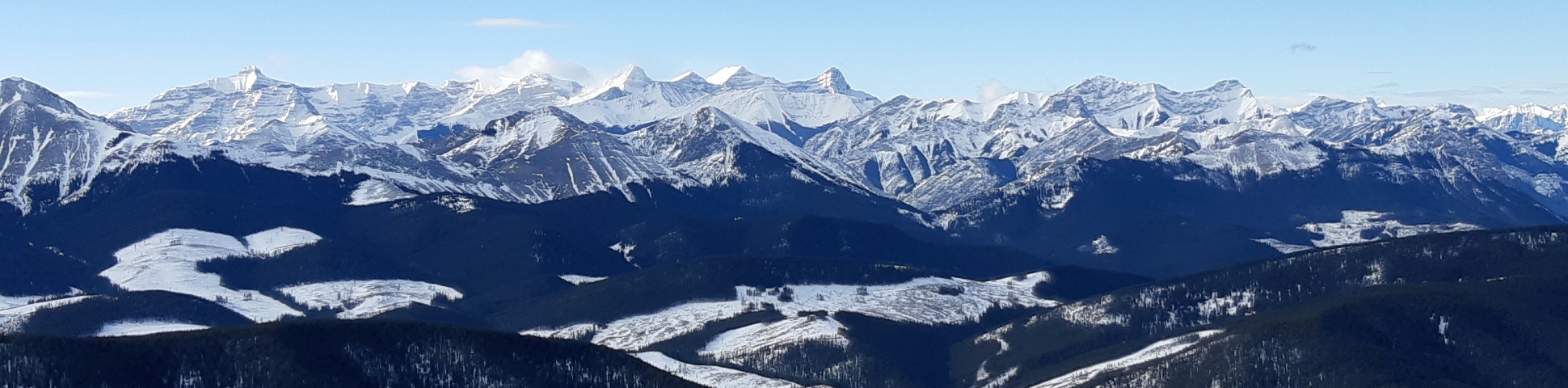
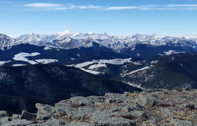
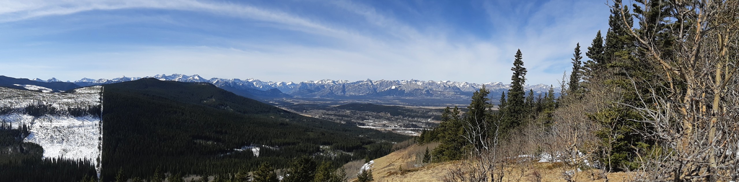
Tucked in the foothills of Kananaskis, the Sibbald Creek Trail area boasts phenomenal views of snow-capped peaks stretching deep into the horizon. For example, at the top of Cox Hill, 12 different peaks take over your line of vision. And guess what? You won't have to worry about bumping into a ton of other people on the trail as most flock to the routes peppered along Highway 40 over this highly underrated area.
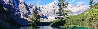
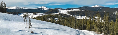
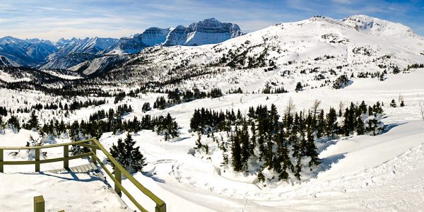
The best hikes in Sibbald Creek Trail offer various vistas, tailor-made for all types of hikers. Expect rolling hills of greenery contrasted with snow-dusted peaks to envelop you on most hikes in this area—even if the trails are more on the chill, low-elevation, short side of things. If you're from Calgary or Cochrane, you'll want to take advantage of the hidden network of routes scattered across Sibbald Creek Trail due to its nearby proximity. Who knew you could save gas money and hit up the mountains at the same time. Bonus!
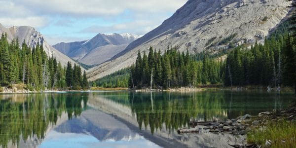
Hiking in Sibbald Creek Trail is a fun outing for anyone who wants to get outside but doesn't feel like driving to Banff or Canmore for an epic day of revelling in the fresh air and unreal quintessential Canadian scenery.
Read MoreThe best hikes in Sibbald Creek Trail
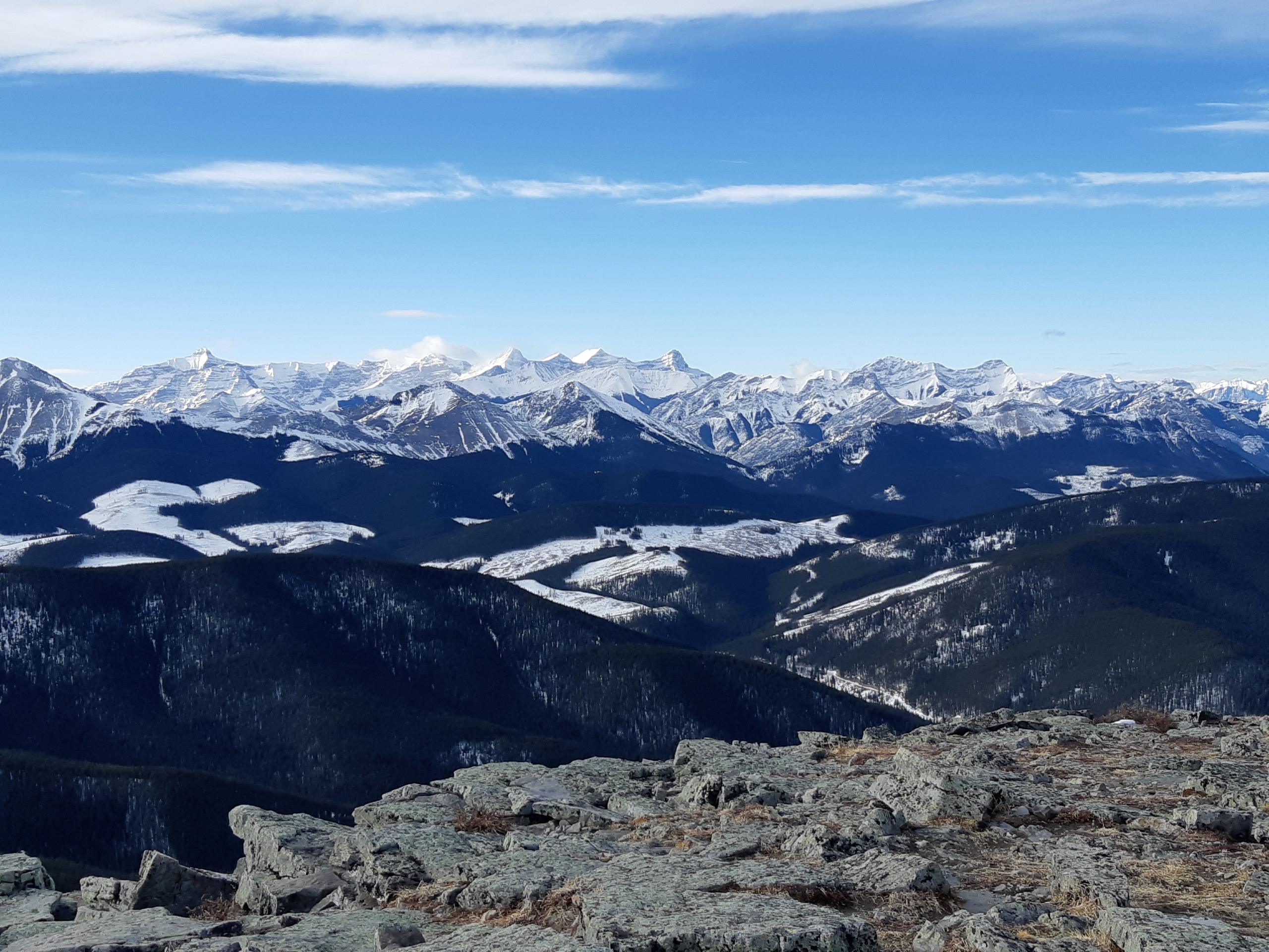
01. Cox Hill Hike
Difficulty
Hiking Cox Hill Ridge is a great way to spend a half-day in the summer.… Read More
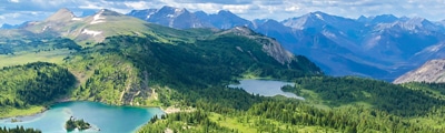
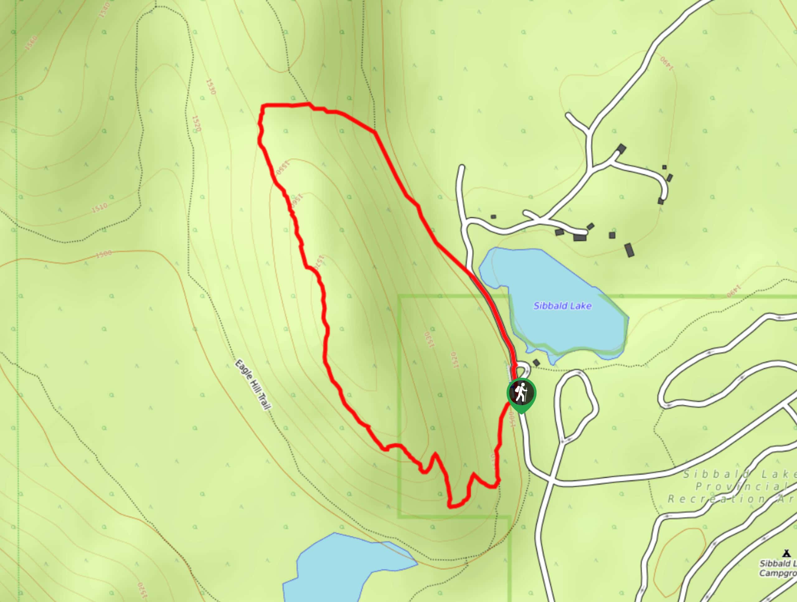
02. Eagle Hill Trail
Difficulty
The Eagle Hill trail climbs the foothills of Kananaskis Country to reach a ridge that… Read More
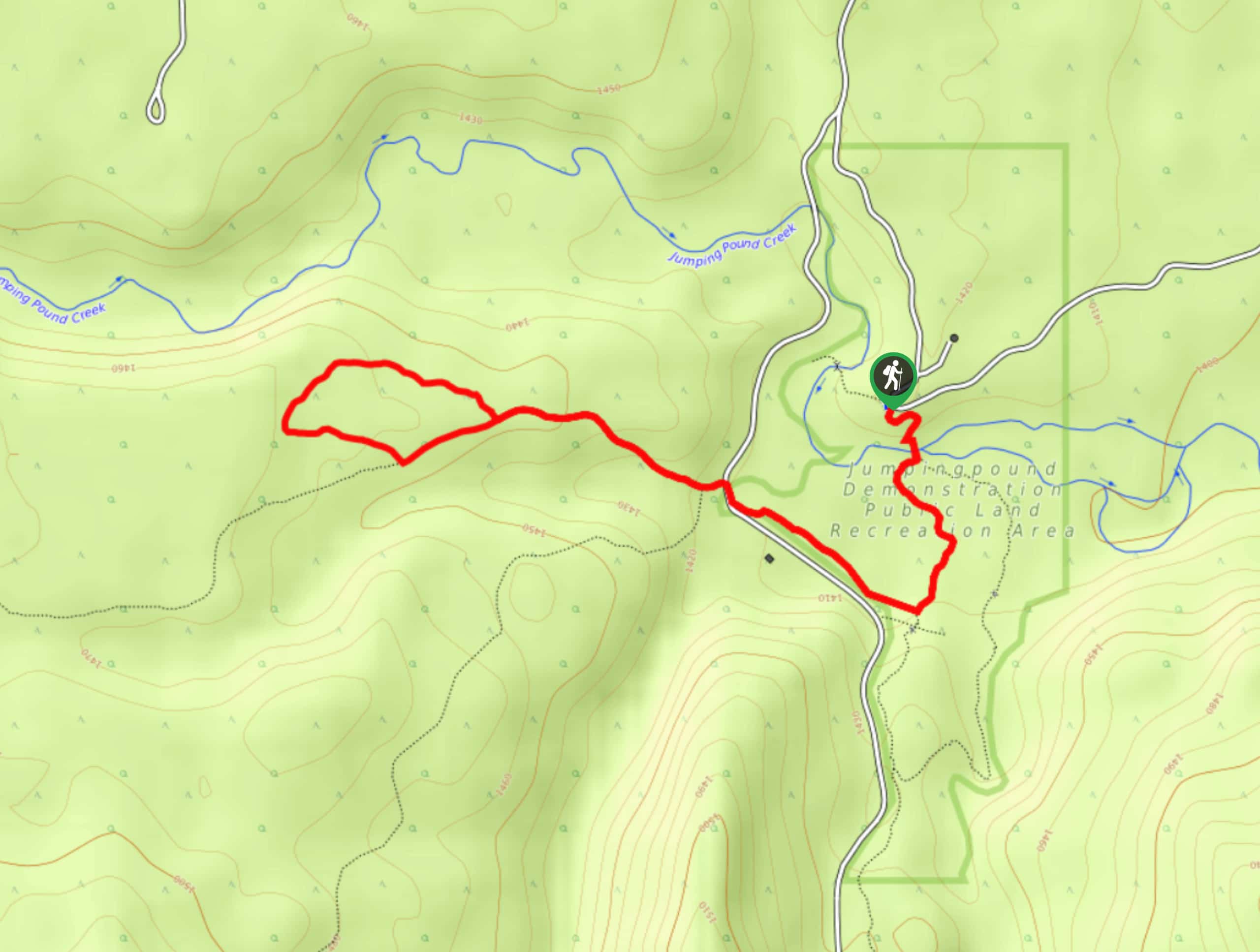
03. Sibbald Flats Trail
Difficulty
The Sibbald Flats interpretive trail travels around Sibbald Lake and includes many educational signs. It… Read More
04. Pine Woods Loop
Difficulty
Hiking the Pine Woods Interpretive Loop Trail doesn’t take long, but is an excellent way… Read More
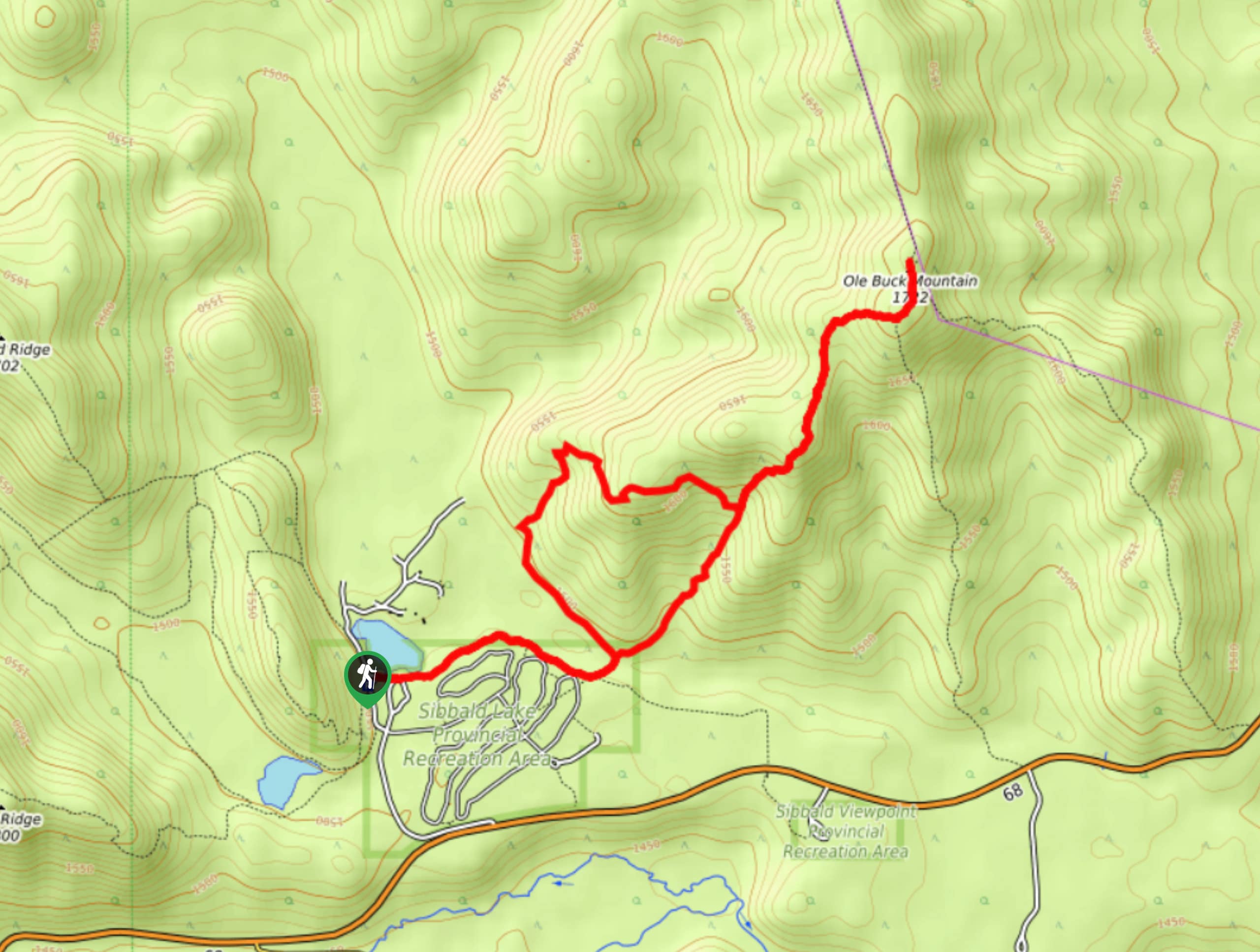
05. Buck Mountain Trail
Difficulty
Ole Buck Mountain is a great trail to tackle when exploring the Sibbald Flats area.… Read More
Only 5 hikes?
Well, yes. But we are sure that there are many more. We are looking for contributors to add to Sibbald Creek Trail hikes. If you feel like you might know everything about Sibbald Creek Trail, than we would like to hear from you.
Is Sibbald Creek Trail your favourite place on earth?
Are you passionate about hiking? Do you want to share your passion with others? We're looking for hiking experts to help us map the world's best hikes.
Become a contributorAre we missing your favourite hike?
Tell us! If you've got photos, a GPS track and know the hike, we'd love to share your favourite hike with the rest of the 10Adventures community.