hikes in Bragg Creek and Sheep River
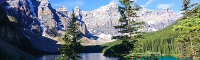
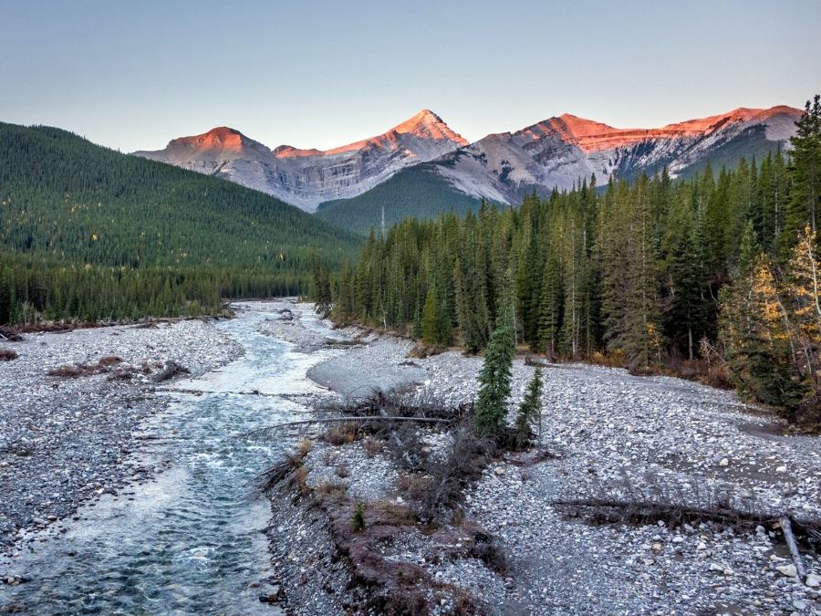
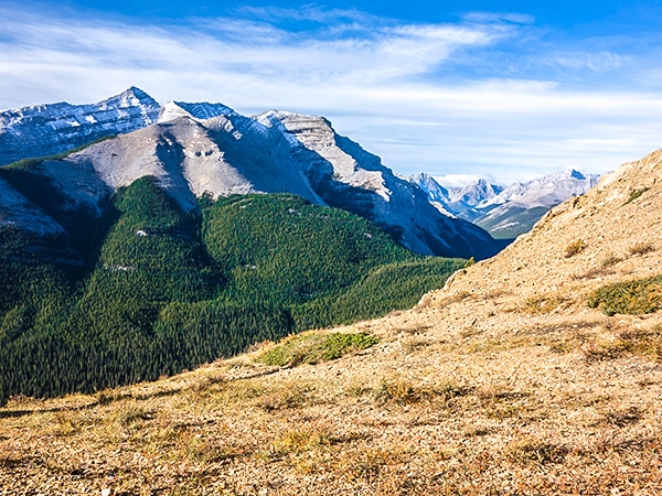
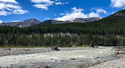
We love hiking in the front ranges of the Canadian Rockies, SW of Calgary. This area, which includes Bragg Creek and much of the Sheep River, has some great, and very quiet hikes. The are of these front-ranges are popular daytrips from Calgary, and you'll mostly find locals from Calgary exploring these great hiking trails.
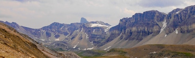
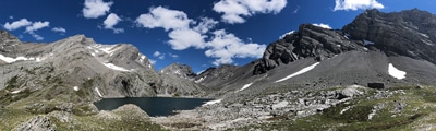
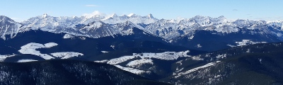
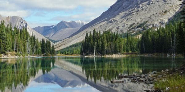
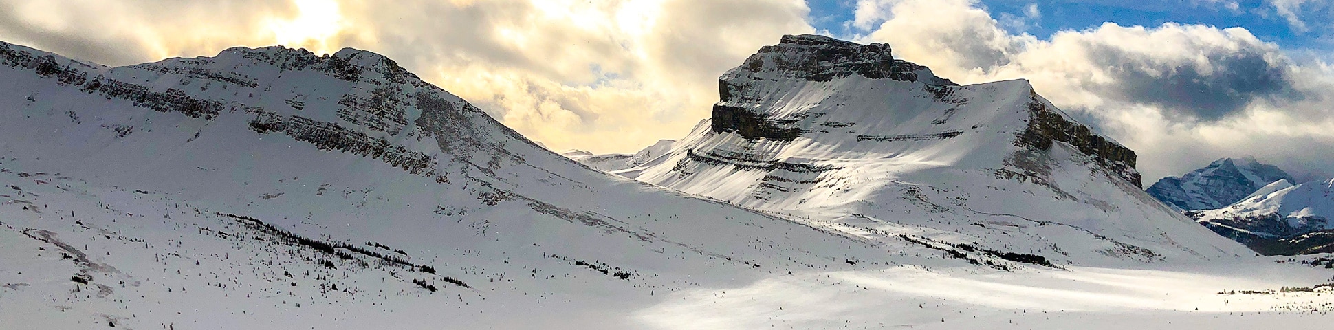
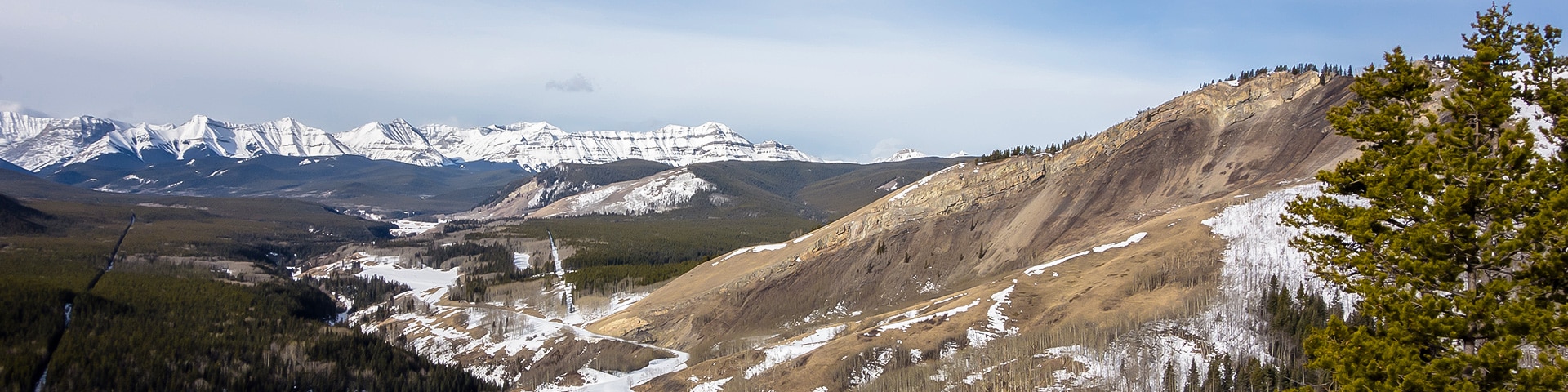
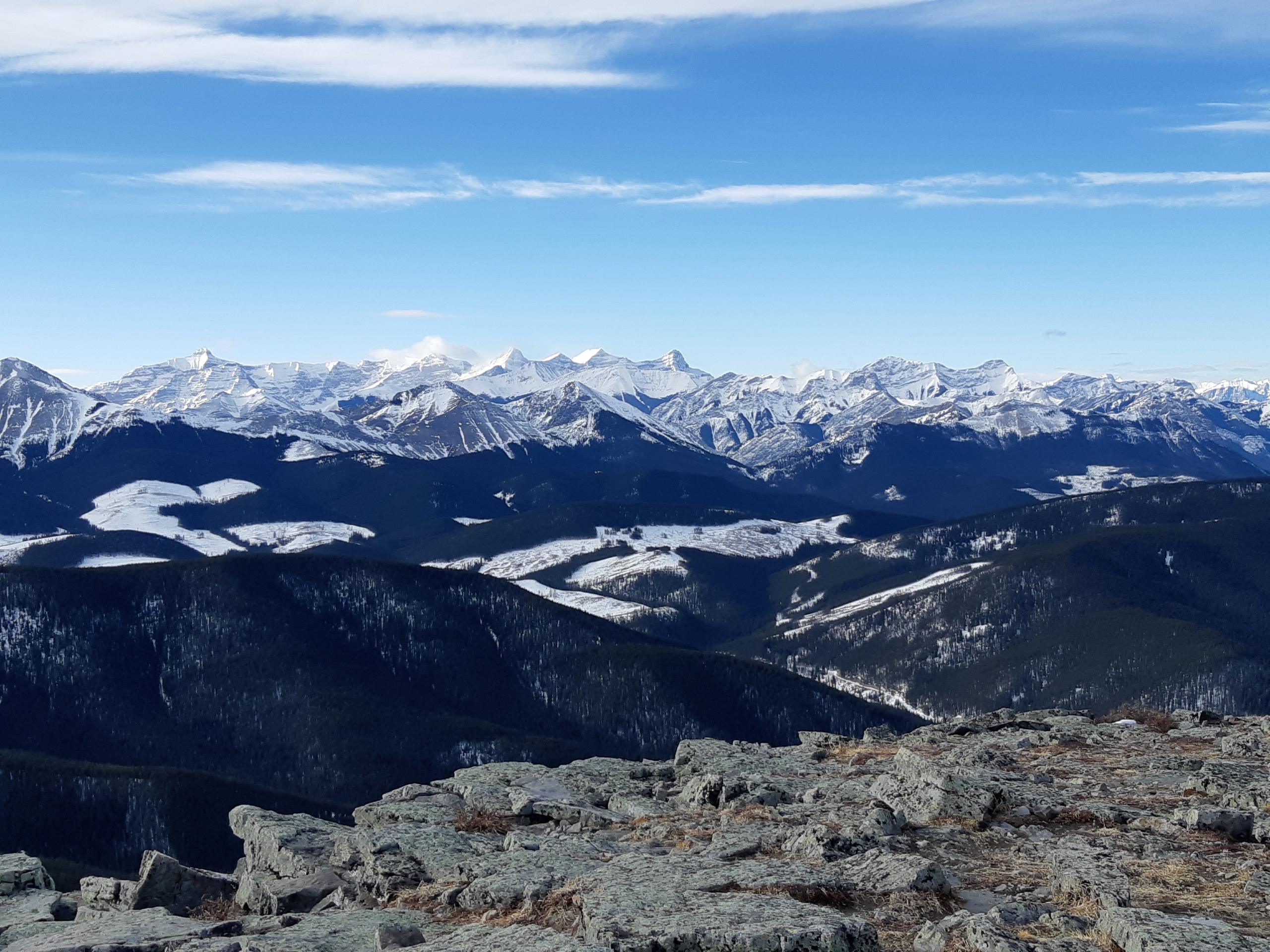
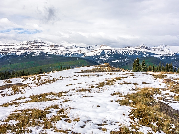
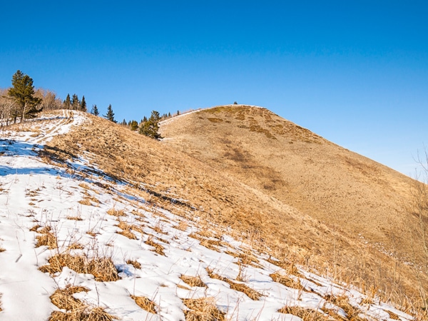
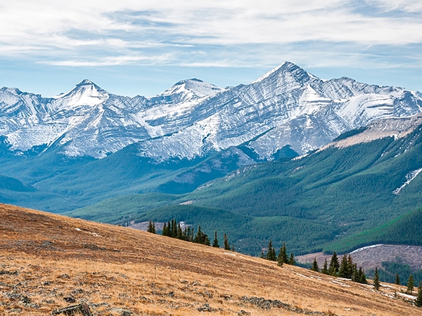
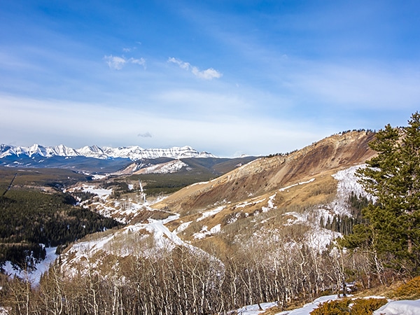
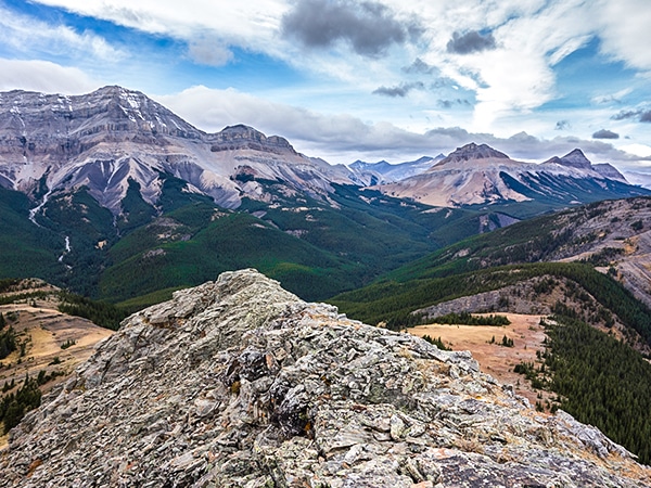
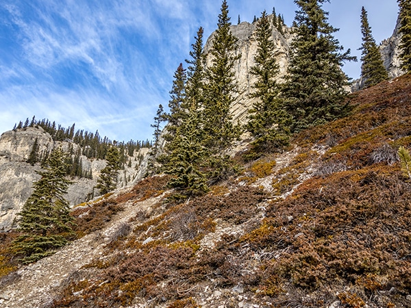
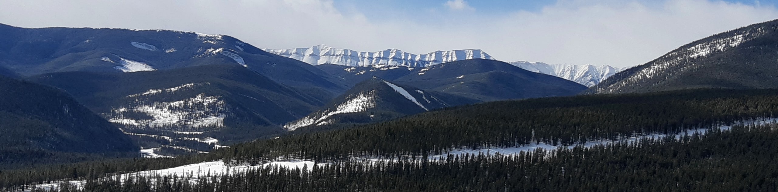
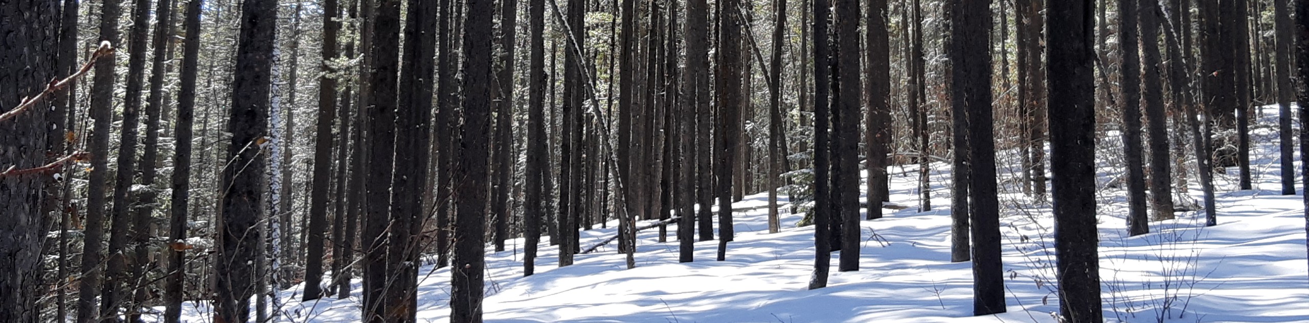
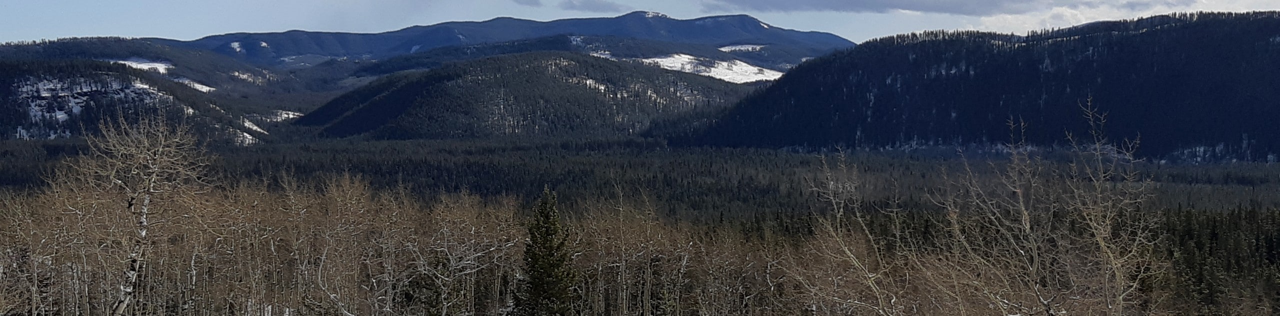
Hiking the eastern slopes of the Rocky Mountains is a special place, as it’s not that busy but still has some beautiful hikes. These hikes generally provide great views of the Rockies to the west and prairies to the east without a huge amount of work. Terrain varies between grassy, wild-flower filled meadows to thick forests to rocky exposed ridges.
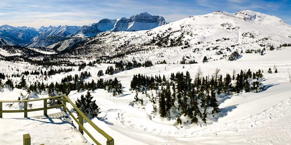
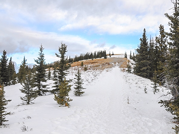
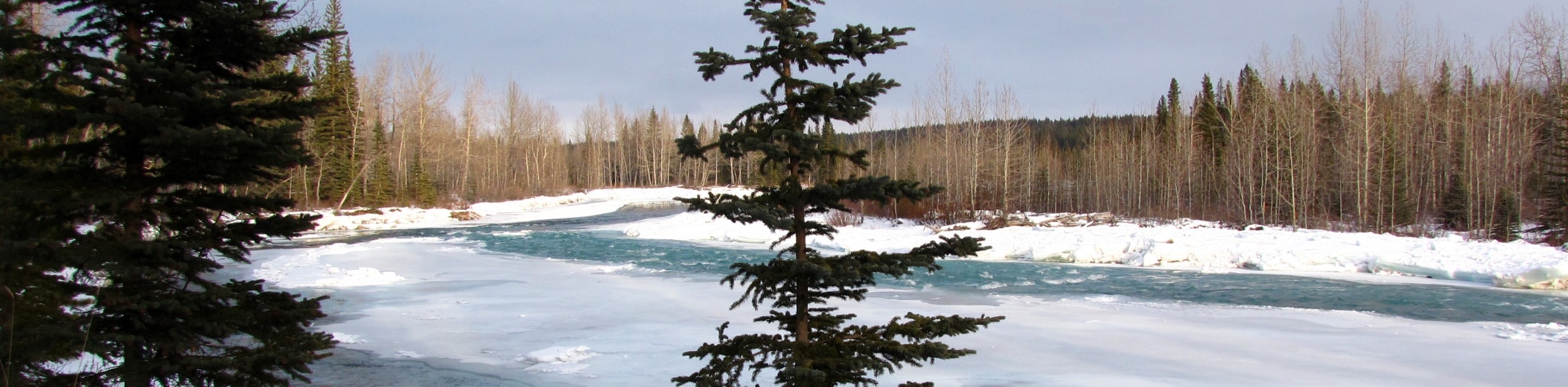
This area near Bragg Creek and the Sheep River is also great for shoulder season hiking, as it doesn’t see as much snow. Some of our favourites here are hiked all year long. The town of Bragg Creek is also a charming village with a couple of great restaurants. This makes a great break after a long hike. Other authentic towns such as Turner Valley, Black Diamond and Millarville make this area a unique opportunity to explore life in the Canadian Foothills.
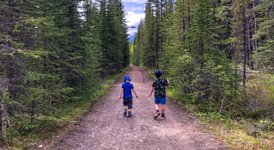
SW Alberta is a wonderful region for beginners as well as experienced hikers, and there are many great hikes within the area.
THE TOP 10 HIKES NEAR BRAGG CREEK AND THE SHEEP RIVER, ALBERTA
- ForgetMeNot Ridge (15.2mi, 3097ft, 7-8h): Great views without a ton of work? Sign me up! This walk up Forget Me Not Mountain gives great views of the surrounding peaks, the elbow river valley, and gravel fields.
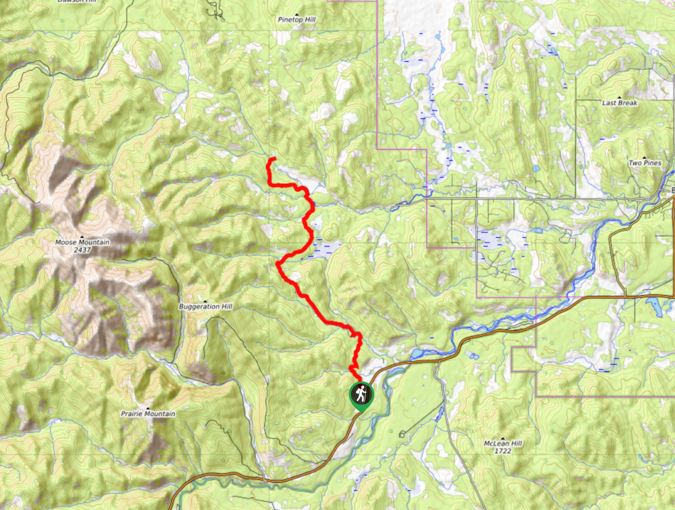
- Moose Mountain (9.1mi, 1880ft, 4.5-5.5h): This long but rewarding hike starts in the trees and bring us to the fire lookout at the top of Moose Mountain. This is really popular shoulder season hike just 45 minutes from Calgary.
- Nihahi Ridge (6.2mi, 2316ft, 3-4h): This hike has it all, starting in the forest before traversing a beautiful grassy meadow then gaining elevation in the alpine as climb the ridge. The views are spectacular throughout the hike.
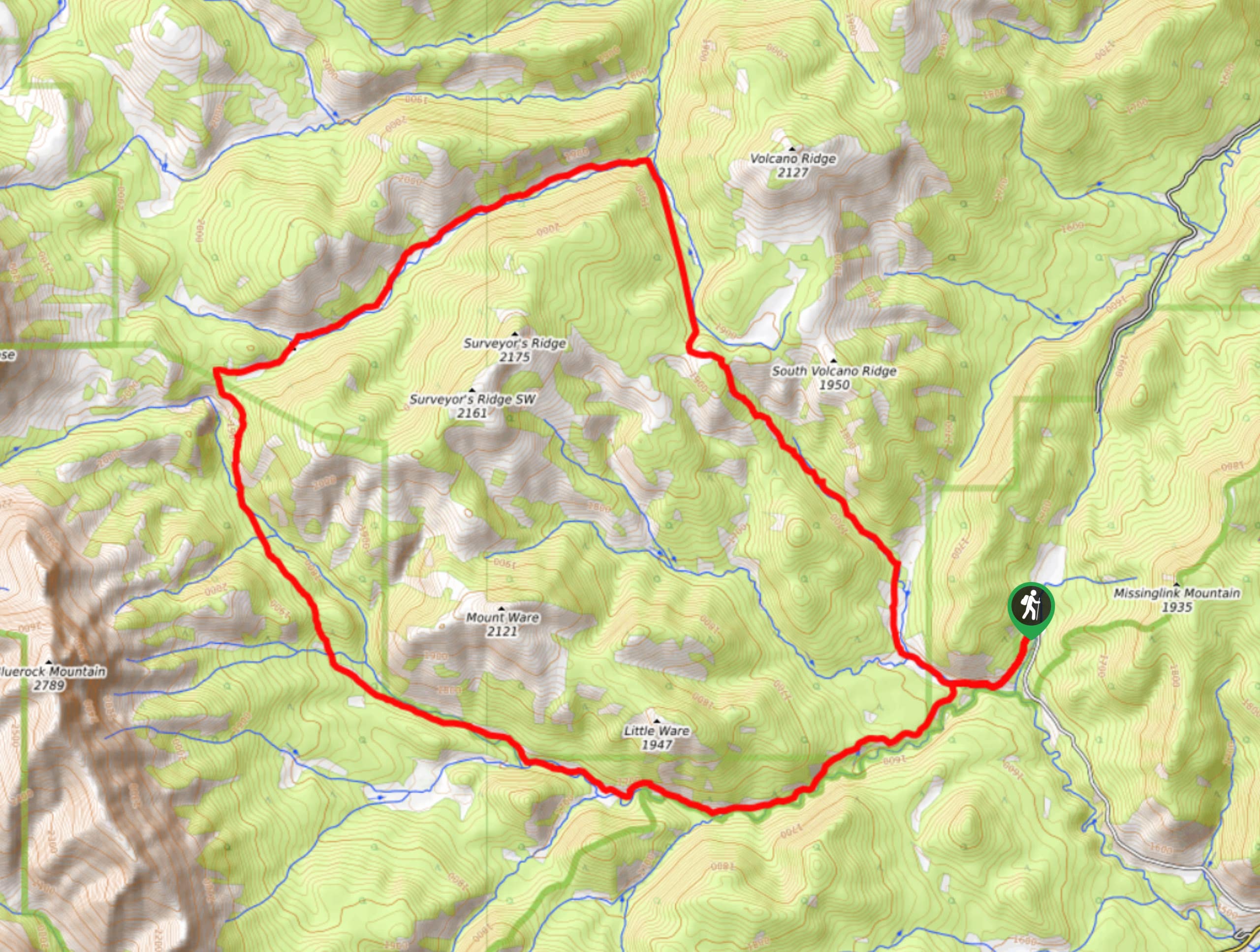
- Volcano Ridge (11.6mi, 2162ft, 5.5-6.5h): This is a relative low effort high reward hike up a grass topped foothill of the Rockies just west of turner valley. From the top we have great views as the foothills turn into the towering peaks of the Rockies.
- Mesa Butte (2.2mi, 751ft, 1-2h): At only 2.2mi round trip this is a short and easy hike that is perfect for after work. Mesa Butte is a mid elevation hill with tremendous views of the surrounding area. The fire pit at the top it also made for a great picnic.
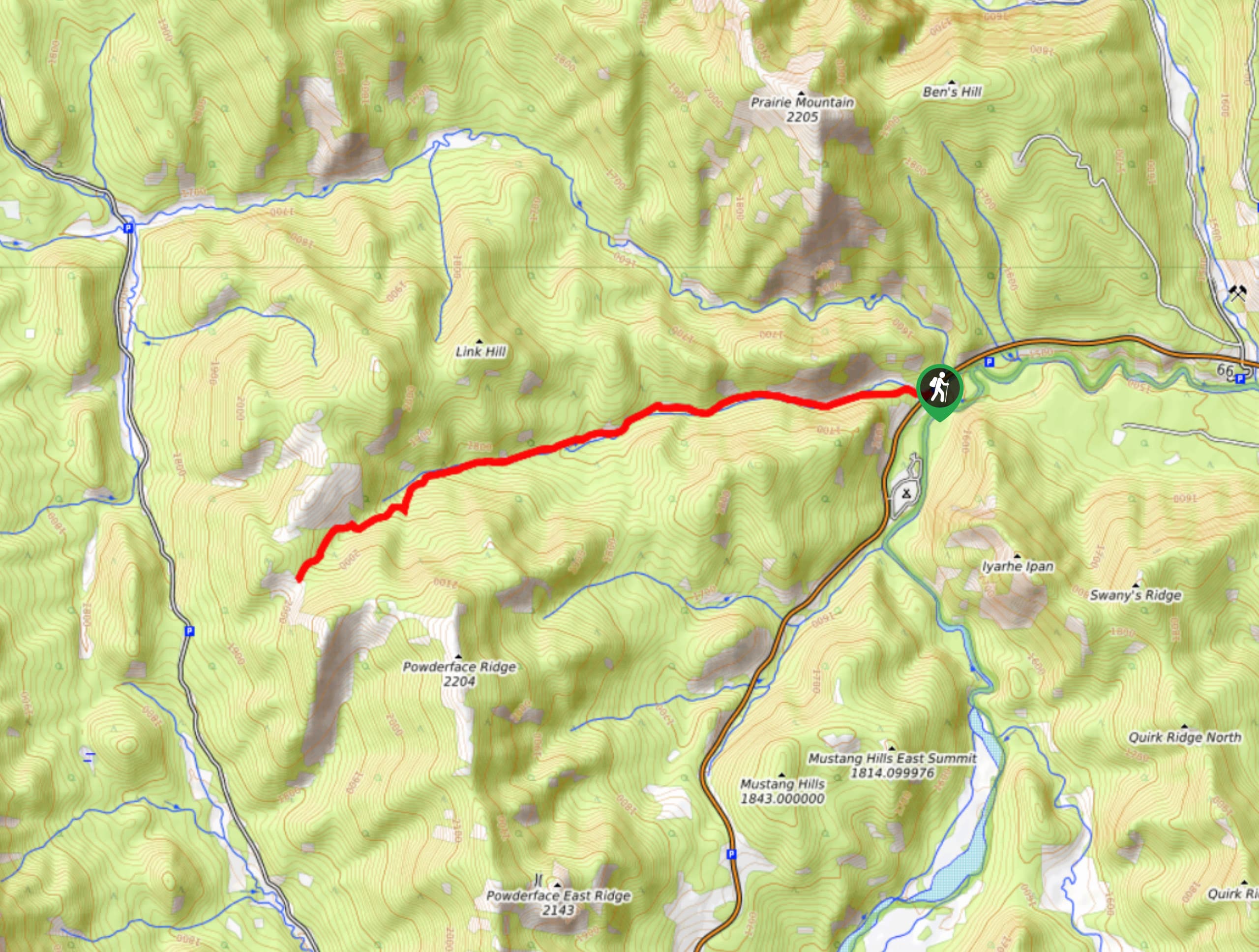
- Powderface Ridge (8.9mi, 2152ft, 3-4h): Powderface Ridge is a popular early or late season hike at the end of Highway 66. There are several variations of the trail, all with decent views, making it suitable for a variety of fitness levels.
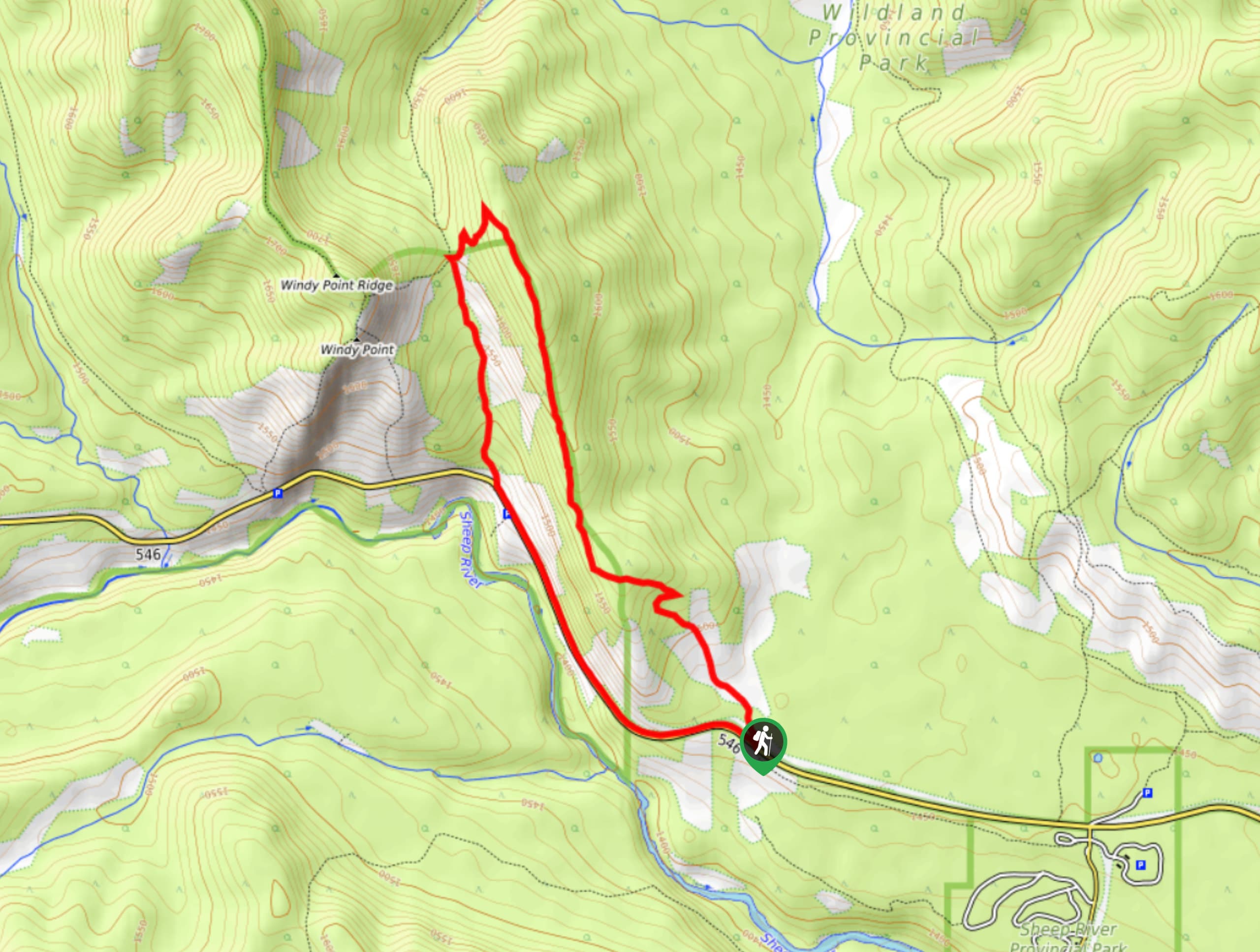
- Foran Grade and Windy Point (7.8mi, 1490ft, 4.5-5.5h): Foran Grade and Windy Point Ridge are two smallish peaks in the front ranges providing great views of the surrounding ranges to the west and the prairie to the east. The views are gorgeous, especially considering the limited elevation you gain at just over 1000ft.
- Mount Ware (9.0mi, 1978ft, 4.5-5.5h): This mid-length moderate hike has us summit Mt. Ware. As our final elevation takes us above all the surrounding foothills we are afforded great views of the surrounding area, including the impressive Bluerock Mountain to the west.
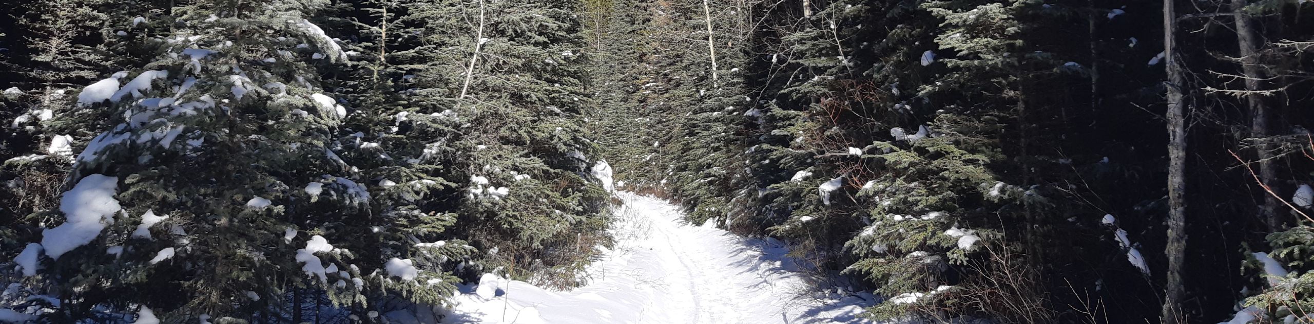
- Praire Mountain (4.3mi, 2293ft, 3-4h): While this is not the most scenic of hikes until you reach the summit, it can be done year-round (no avalanche risk) and is one heck of a workout.
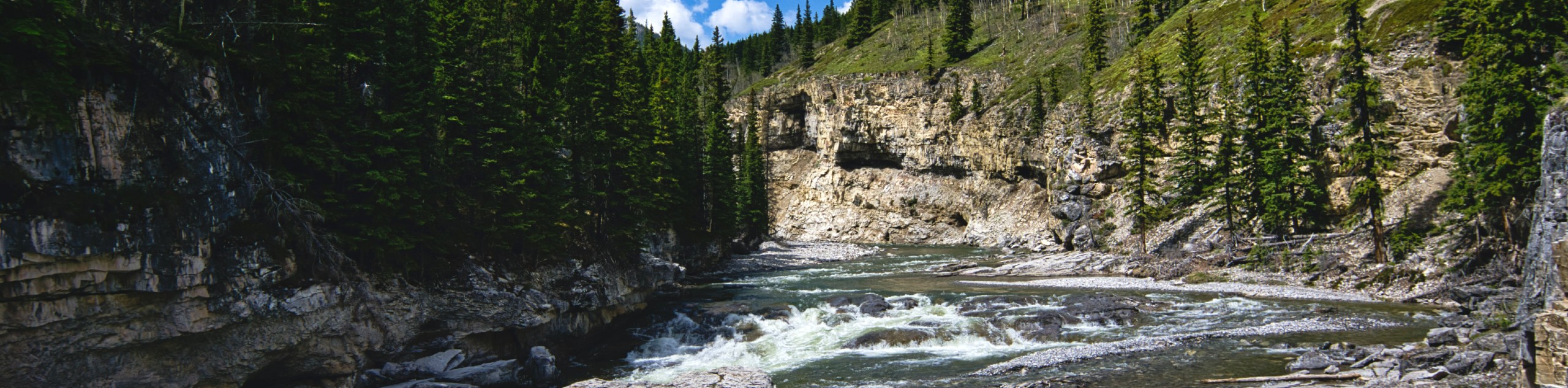
- Canyon Creek Ice Caves (8.5mi, 935ft, 5-7h): This hike is more about the destination than the journey. The first 3.7mi is more of a walk along a forestry road before things get good, with a steep 0.6mi hike before we reach the cave.
The best hikes in Bragg Creek and Sheep River
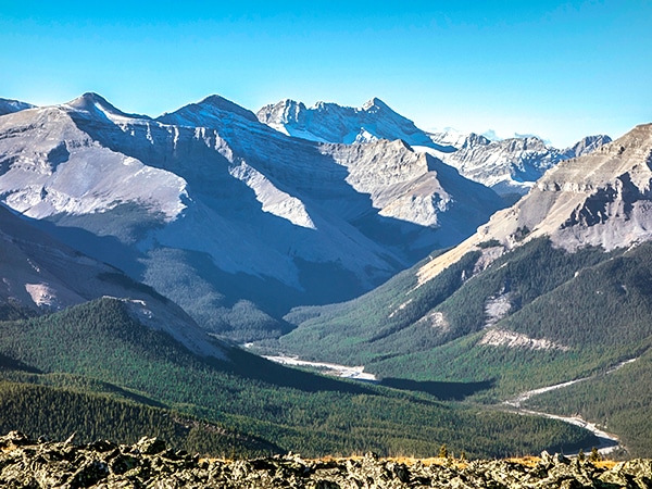
01. Cox Hill Hike
Difficulty
Hiking Cox Hill Ridge is a great way to spend a half-day in the summer.… Read More
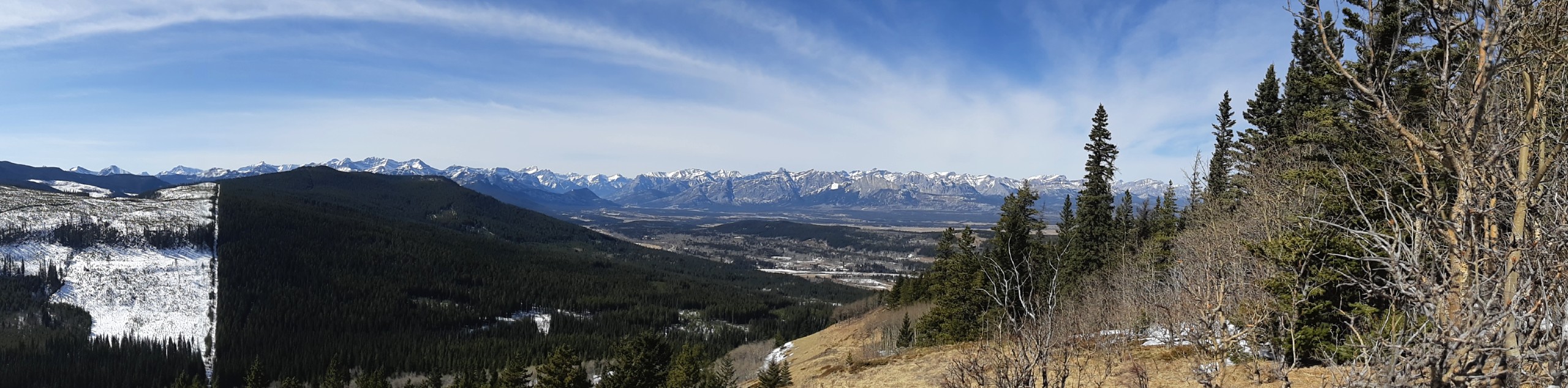
02. Eagle Hill Trail
Difficulty
The Eagle Hill trail climbs the foothills of Kananaskis Country to reach a ridge that… Read More
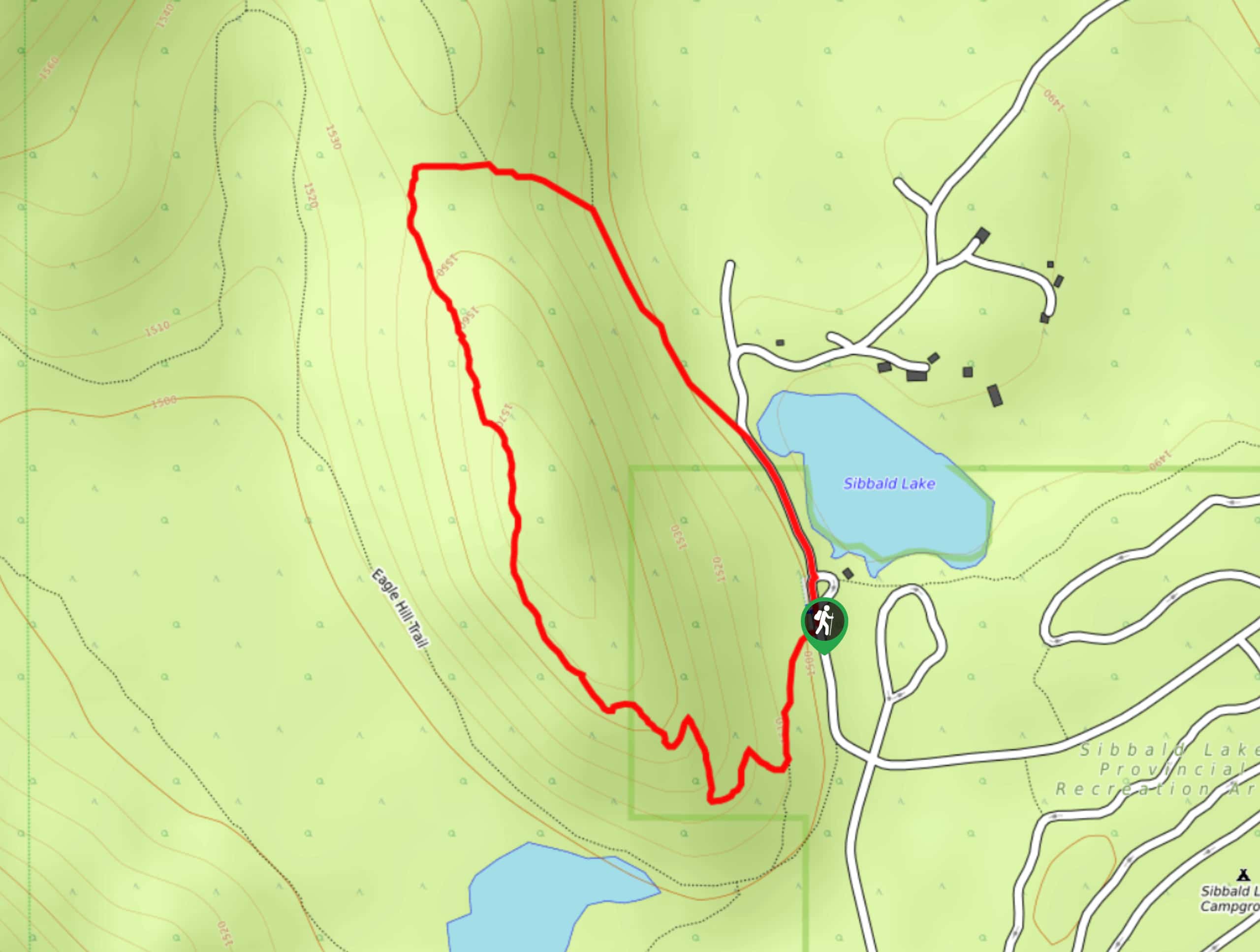
03. Sibbald Flats Trail
Difficulty
The Sibbald Flats interpretive trail travels around Sibbald Lake and includes many educational signs. It… Read More
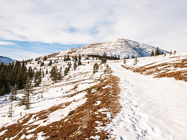
04. ForgetMeNot Ridge
Difficulty
Great views without a ton of work? Sign me up! This walk up Forget Me… Read More
05. Moose Mountain
Difficulty
This long but rewarding hike starts in the trees and bring us to the fire… Read More
06. Nihahi Ridge
Difficulty
This hike has it all, starting in the forest before traversing a beautiful grassy meadow… Read More
07. Volcano Ridge
Difficulty
This is a relative low effort high reward hike up a grass topped foothill of… Read More
08. Mesa Butte
Difficulty
At only 2.2mi round trip this is a short and easy hike that… Read More
09. Powderface Ridge
Difficulty
Powderface Ridge is a popular early or late season hike at the end of Highway… Read More
10. Foran Grade and Windy Point
Difficulty
Foran Grade and Windy Point Ridge are two smallish peaks in the front ranges providing… Read More
Yes, there are more than 10
Bragg Creek and Sheep River is so beautiful that we can not give you only 10 hikes. So here is a list of bonus hikes in Bragg Creek and Sheep River that you should take a look at as well
11. Mount Ware
Difficulty
This mid-length moderate hike has us summit Mt. Ware. As our final elevation takes us… Read More
12. Prairie Mountain
Difficulty
While this is not the most scenic of hikes until you reach the summit, it… Read More
13. Canyon Creek Ice Caves
Difficulty
This hike is more about the destination than the journey. The first 3.7mi… Read More
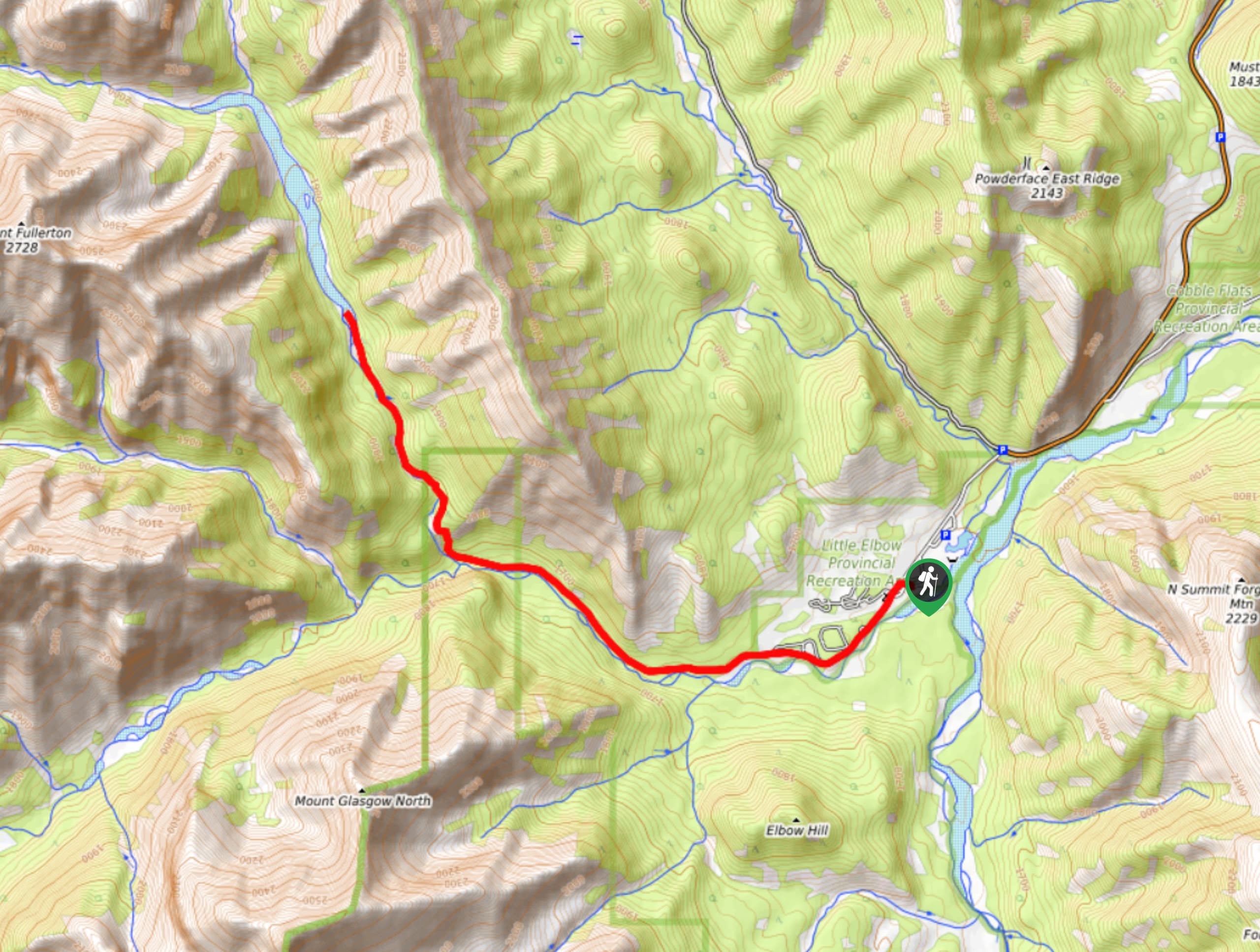
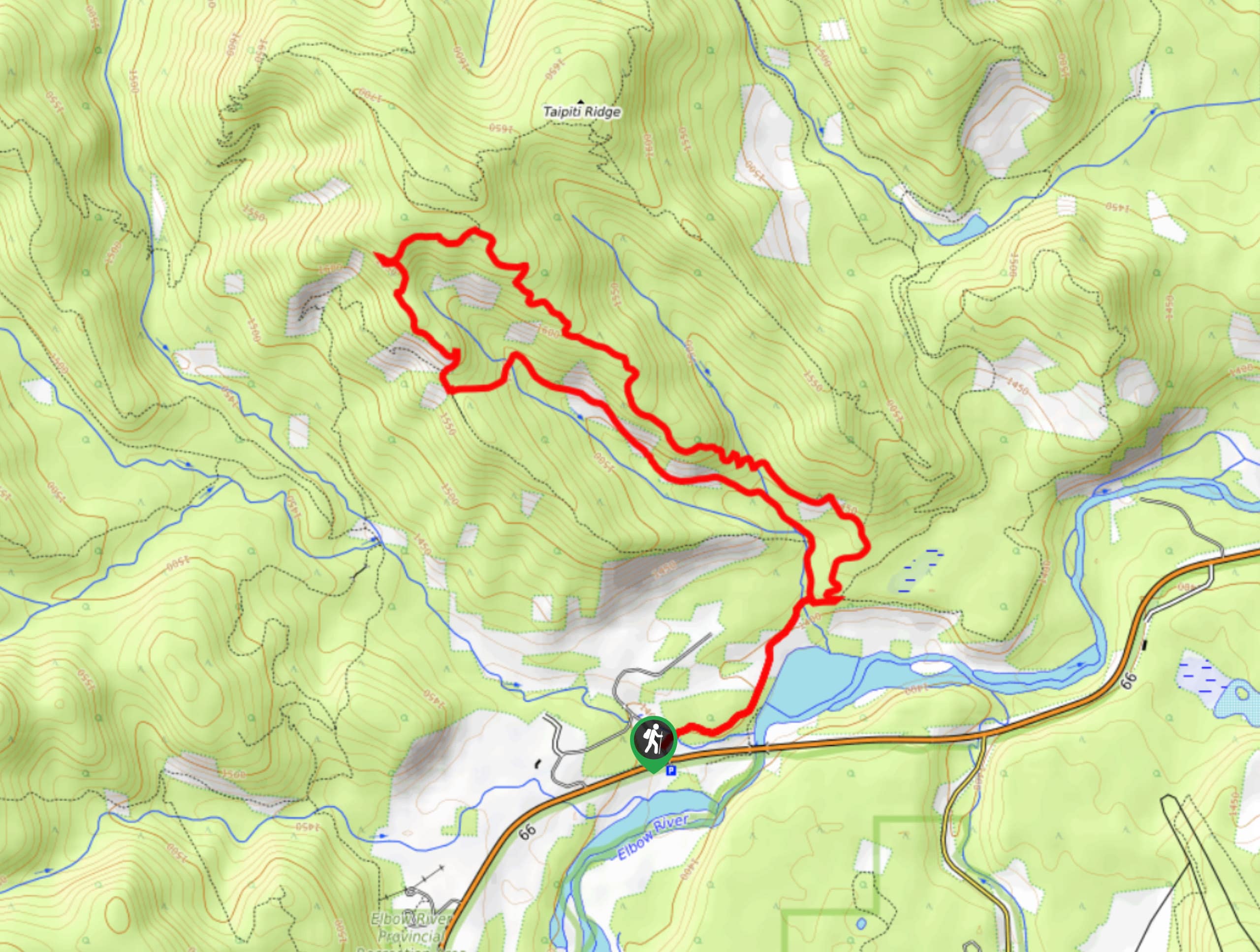
14. Little Elbow Trail
Difficulty
Little Elbow Trail connects with Big Elbow Trail to form a loop that connects three… Read More
15. Fullerton Loop Hike
Difficulty
The Fullerton Loop offers superb views of Moose Mountain and the foothills surrounding the area.… Read More
16. Junction Creek to Junction Falls
Difficulty
The trail to Junction Falls via Junction Creek is a great intermediate hike that crosses… Read More
17. Big Elbow Trail
Difficulty
Big Elbow Trail is a scenic, easy hike that leads to a backcountry campground. The… Read More
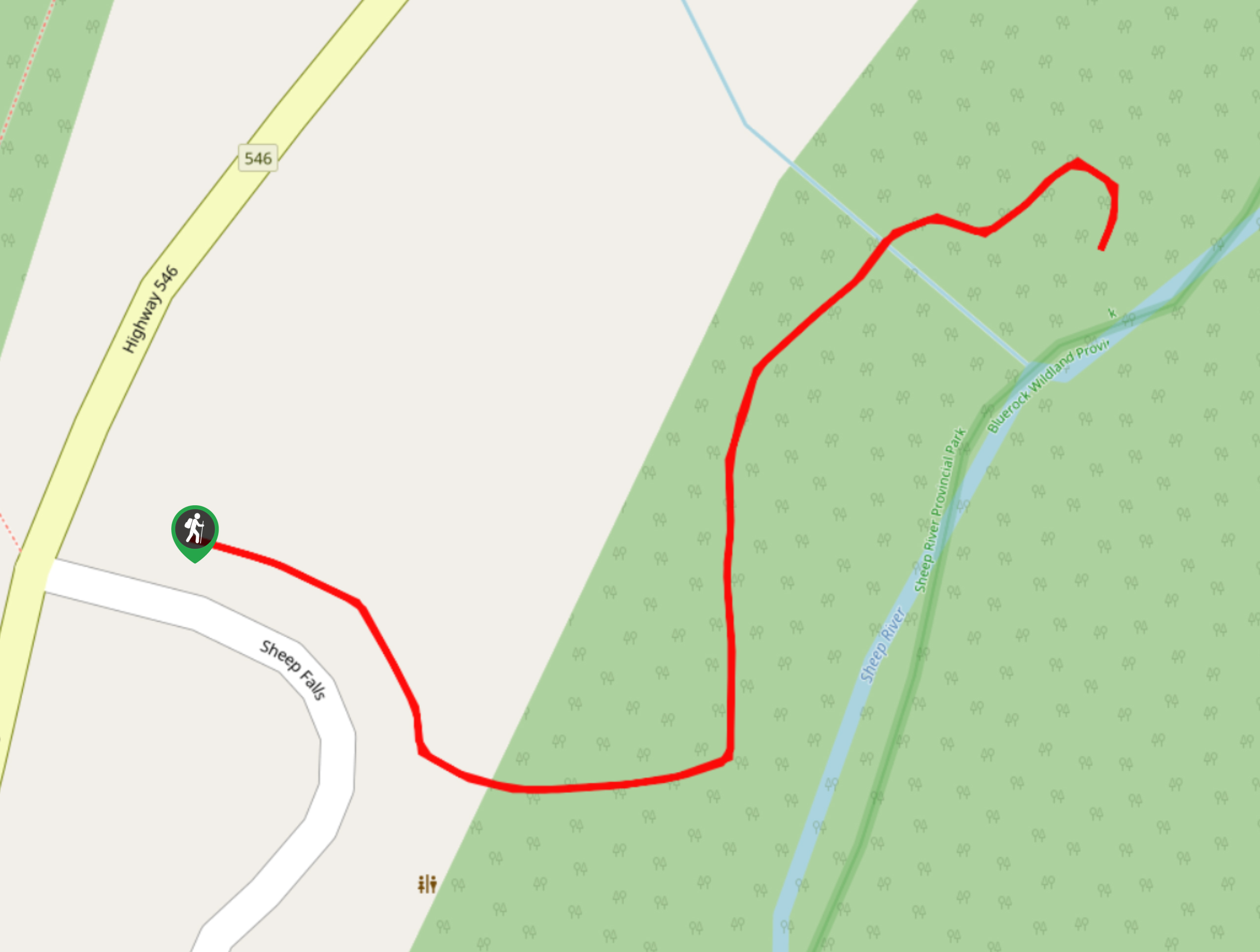
18. Sheep River Falls Hike
Difficulty
The Sheep River Falls trail is a short and easy trail that leads hikers to… Read More
19. Elbow Falls Loop
Difficulty
The Elbow Falls Loop is a popular trail for good reason. Only a short drive… Read More
20. Sulphur Springs Trail
Difficulty
The Sulphur Springs trail in the Elbow River area is part of an extremely well-maintained… Read More
21. Alder Trail Hike
Difficulty
The Alder Trail is a short lollipop loop in Bragg Creek Provincial Park. It is… Read More

22. Iron Springs Trail
Difficulty
The Iron Springs trail connects Highway 66 with Township Road 232. It is a great… Read More
23. Diamond T Loop
Difficulty
The Diamond T Loop is an excellent beginner-intermediate trail in Kananaskis. It is part of… Read More
24. Green Mountain Trail
Difficulty
Green Mountain trail is a must-do in Bragg Creek. Not many surrounding trails have the… Read More
25. Foran Grade Trail
Difficulty
The Foran Grade trail is a great running and walking trail near Turner Valley, Alberta.… Read More
26. Nihahi Creek Trail
Difficulty
Leaving from the central Little Elbow area, Nihahi Creek is an excellent half-day trip that… Read More
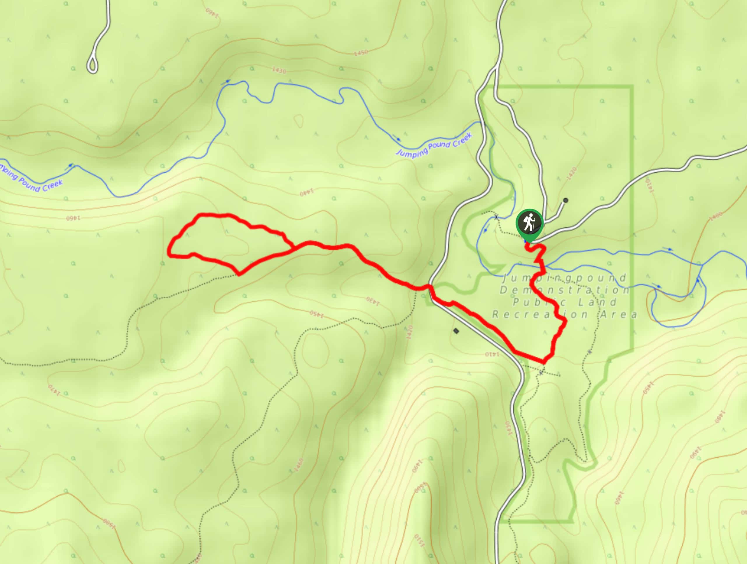
27. Pine Woods Loop
Difficulty
Hiking the Pine Woods Interpretive Loop Trail doesn’t take long, but is an excellent way… Read More
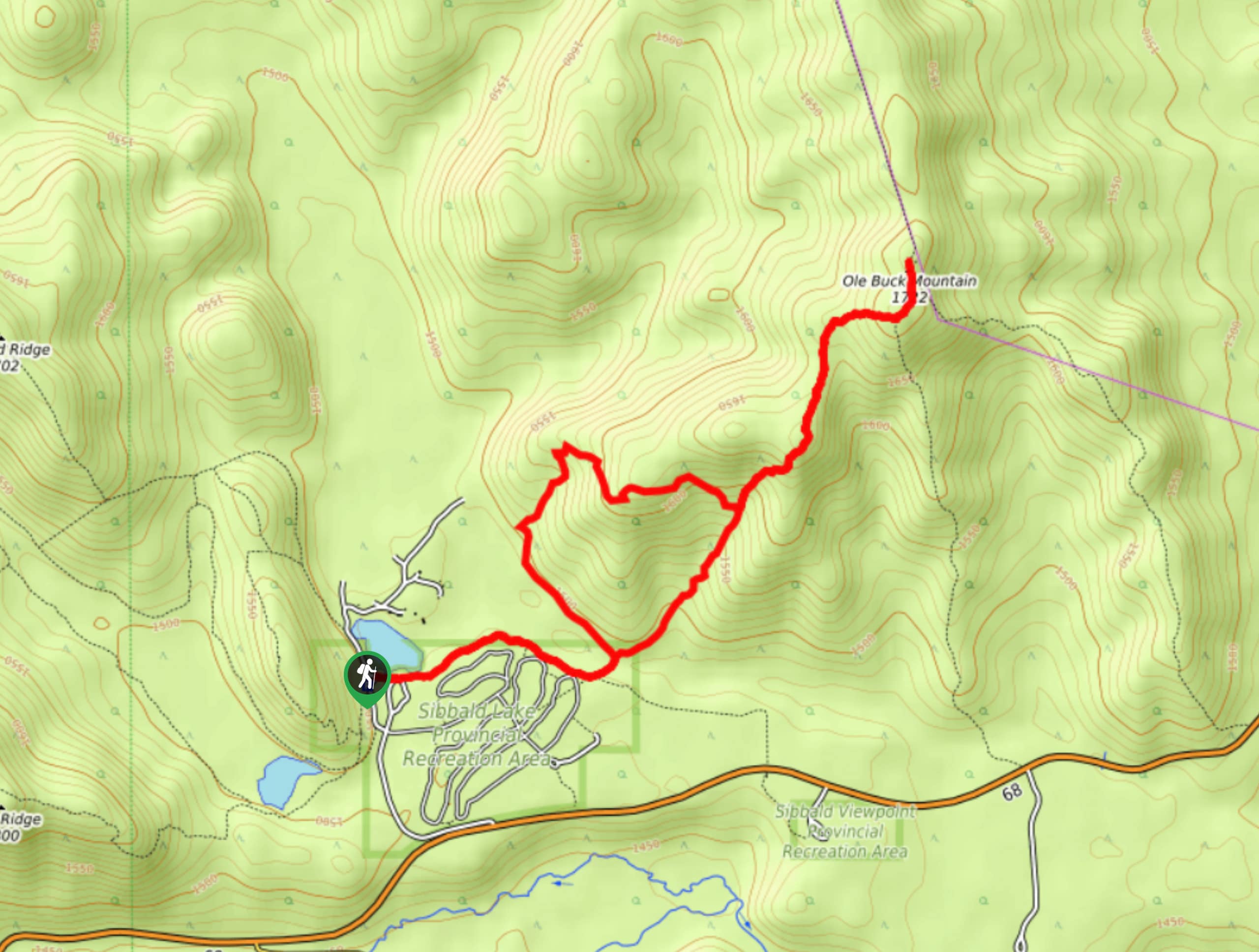
28. Buck Mountain Trail
Difficulty
Ole Buck Mountain is a great trail to tackle when exploring the Sibbald Flats area.… Read More
29. Sugar Momma Trail
Difficulty
Hiking the Sugar Momma trail near Bragg Creek is a great way to spend a… Read More
30. Tom Snow Trail
Difficulty
The Tom Snow trail is a simple one. It follows mostly decommissioned fire roads between… Read More
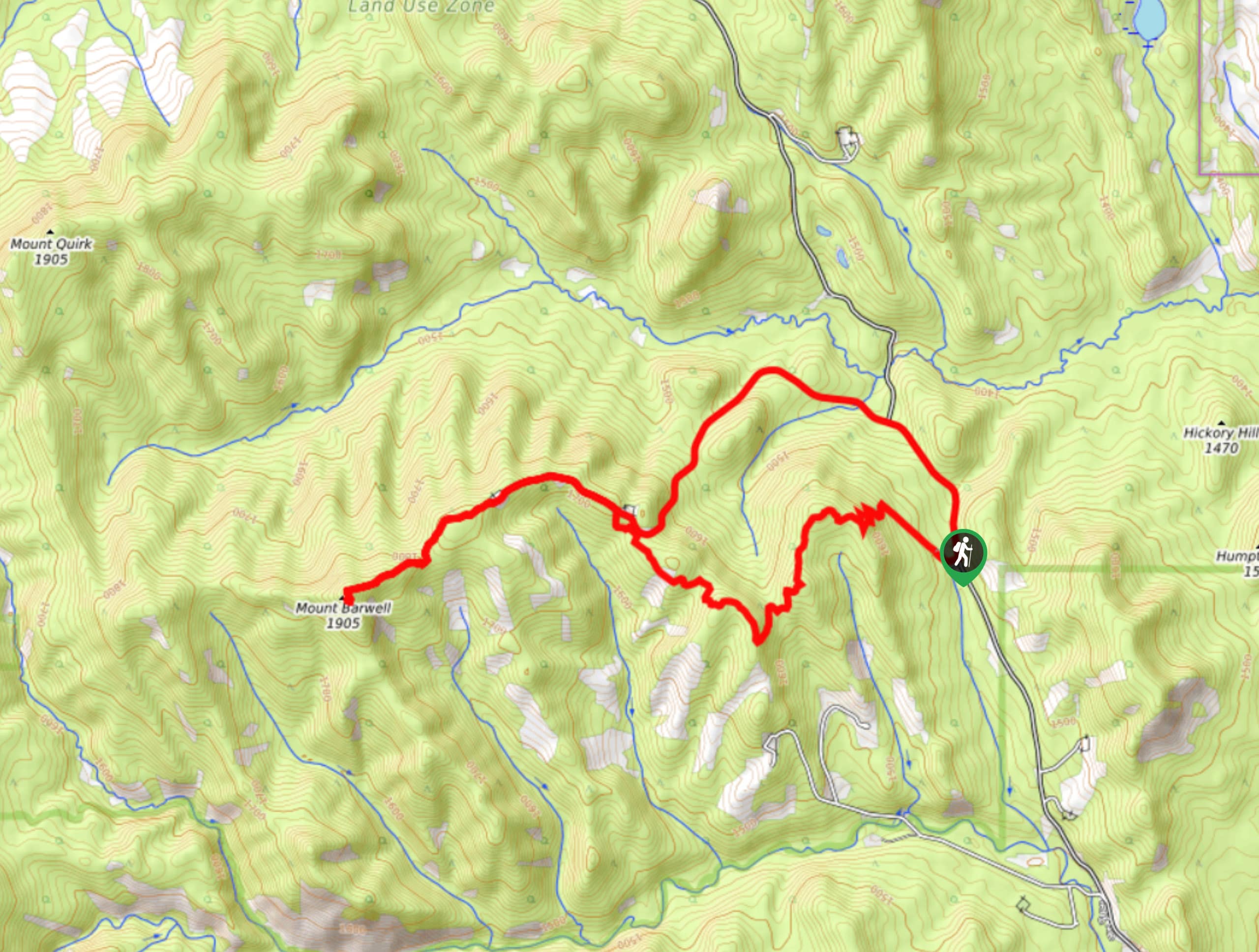
31. Barwell Trail
Difficulty
Hiking the Mount Barwell Trail is a half to full day effort that is very… Read More
32. Powderface Creek Trail
Difficulty
The Powderface Creek trail in Kananaskis is a popular hiking, biking, and horseback trail, so… Read More
33. Gorge Creek Loop
Difficulty
Hiking the Gorge Creek Loop requires some route knowledge and a bit of extra effort… Read More
Are we missing your favourite hike?
Tell us! If you've got photos, a GPS track and know the hike, we'd love to share your favourite hike with the rest of the 10Adventures community.