hikes in West Kootenays
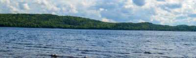
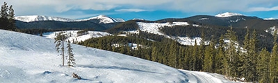
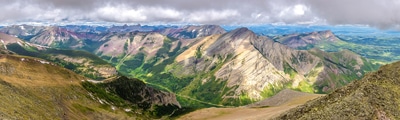
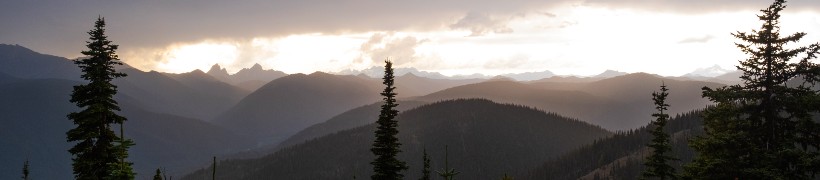
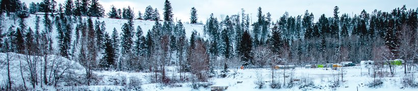
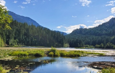
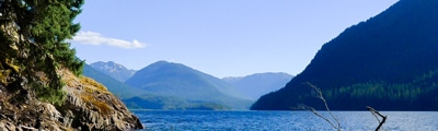
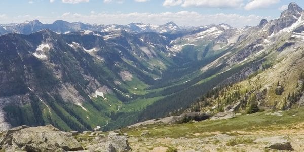
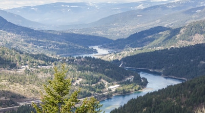
The best hikes in the West Kootenays take you to some pretty epic scenery, and this pretty region of the B.C. interior is sure to grow in popularity in the coming years. The West Kootenays include places like Nelson, Kokanee Glacier Provincial Park and more great places to hike.
THE TOP WEST KOOTENAY HIKES
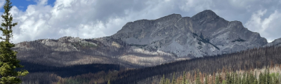
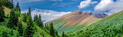
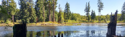
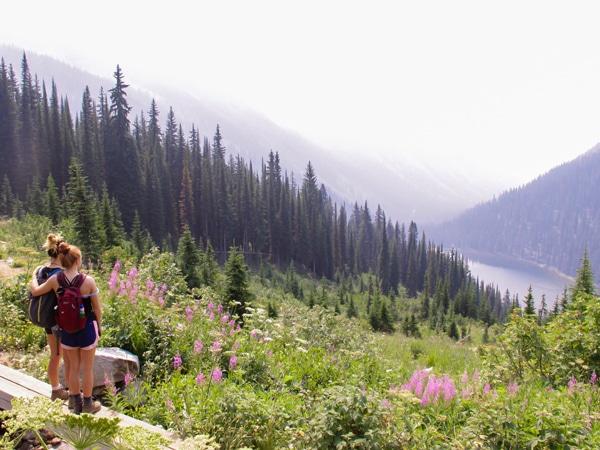
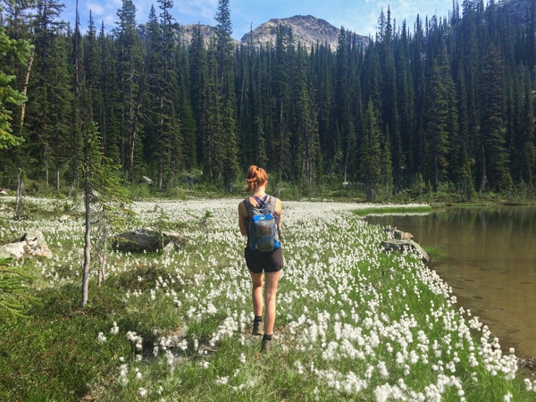
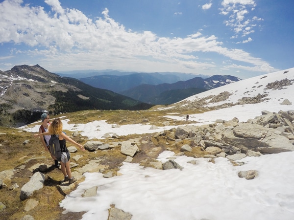
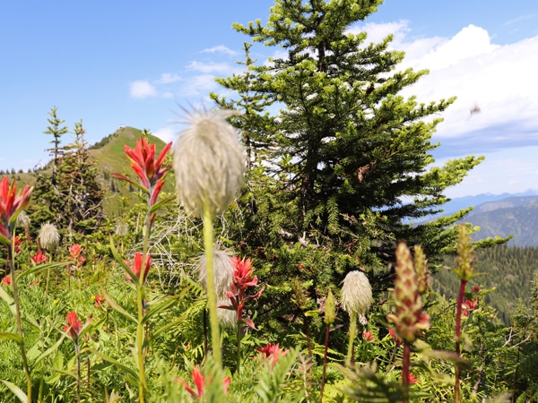
The top hikes in the West Kootenays offer great variety, from remote backcountry wilderness to family-friendly routes right from Nelson. The stunning country in the West Kootenays provides a backdrop of forest, flower filled meadows, and stunning peaks, not to mention a large amount of wildlife (particularly bears!)
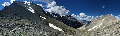
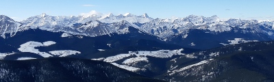
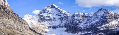
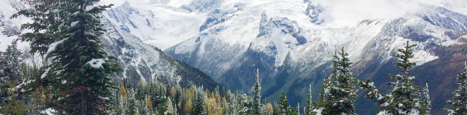
- Macbeth Glacier/Icefield (8.6mi, 4406ft, 7-9h): This is the best challenging hike in the West Kootenays. Hike through an enormous variety of terrains until you reach the epic Macbeth Glacier towering above you. Rarely visited by tourists, this is as beautiful a hike as you will find in the West Kootenays.
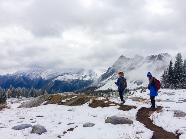
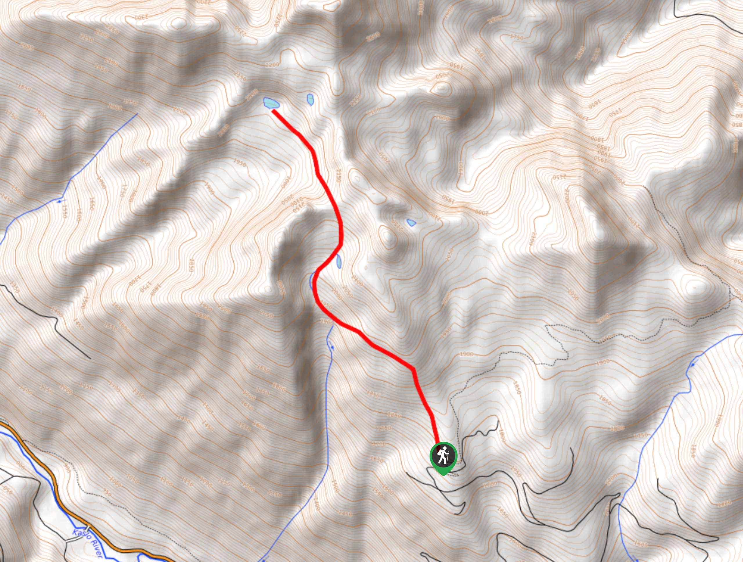
- Mount Loki (6.9mi, 3825ft, 6.5-8h): Mount Loki is another exceptional hike in the West Kootenays. Mount Loki is best attempted in the height of summer, when it is snow-free. From the summit it feels like you are on top of the world, with the West Kootenays stretching out below you.
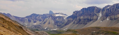
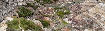
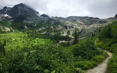
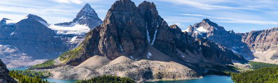
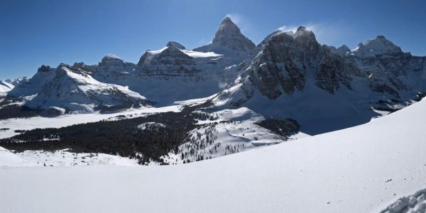
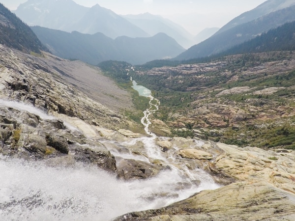
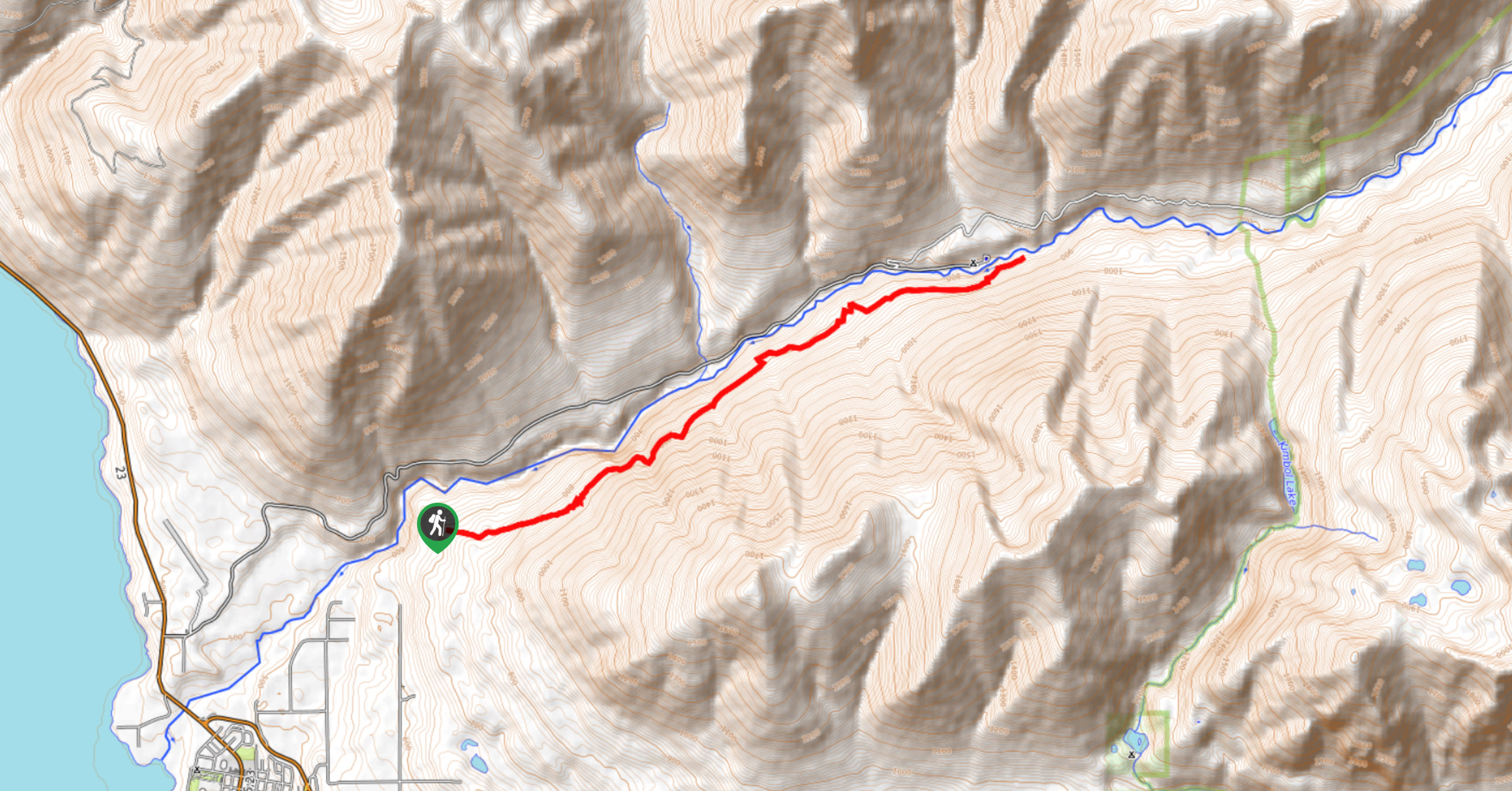
- Jumbo Pass (7.5mi, 3091ft, 5-7h): The hike to Jumbo Pass is stunning. This is a pretty famous hike thanks to Patagonia’s Jumbo Valley documentary and the indigenous history of the Northern Purcell Range. Here is one of the last remaining wild mountain ranges in B.C. This hike takes you through a stunning valley full of glaciers, meadows and mountain peaks. It is an extremely beautiful place for a hike.
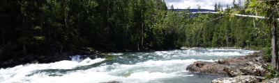
- Whitewater Canyon (7.5mi, 2743ft, 5-6.5h): Another classic West Kootenay hike is situated along the inside of Whitewater Canyon. Here you walk through a deep Selkirk valley, up through the meadows and finally reaching alpine lakes. This is a beautiful hike to do during wildflower season in July, or in fall (mid September).
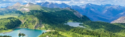
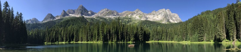
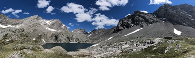
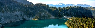
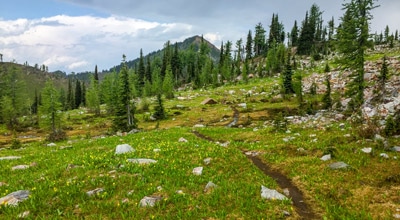
- Gwillim Lakes (7.0mi, 2274ft, 5-6.5h): This is a beautiful West Kootenay alpine hike, and is popular thanks to the backcountry campsite located here. Passing by many impressive lakes cradled by mountain peaks the whole way up, this is one of the most beautiful hikes in the Valhallas.
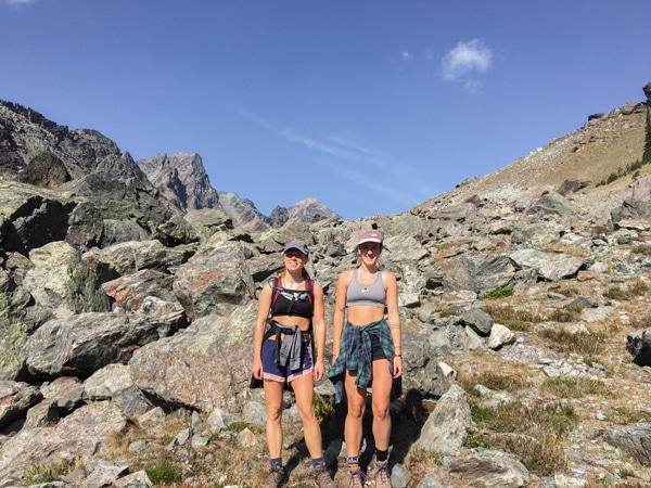
- Gimli Ridge (4.5mi, 2277ft, 4-5.5h): Gimli Peak and Ridge is one of the shorter hikes in the Valhallas and has beautiful views throughout. This hike has stunning views of Mulvey Basin, a chance to explore the old forest, enjoy the view of Gimli Peak and bump into a Mountain Goat (or two!).
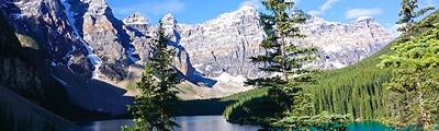
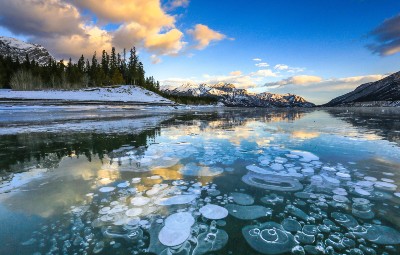
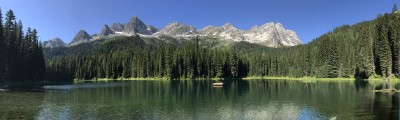
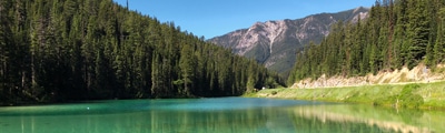
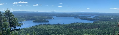
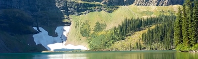
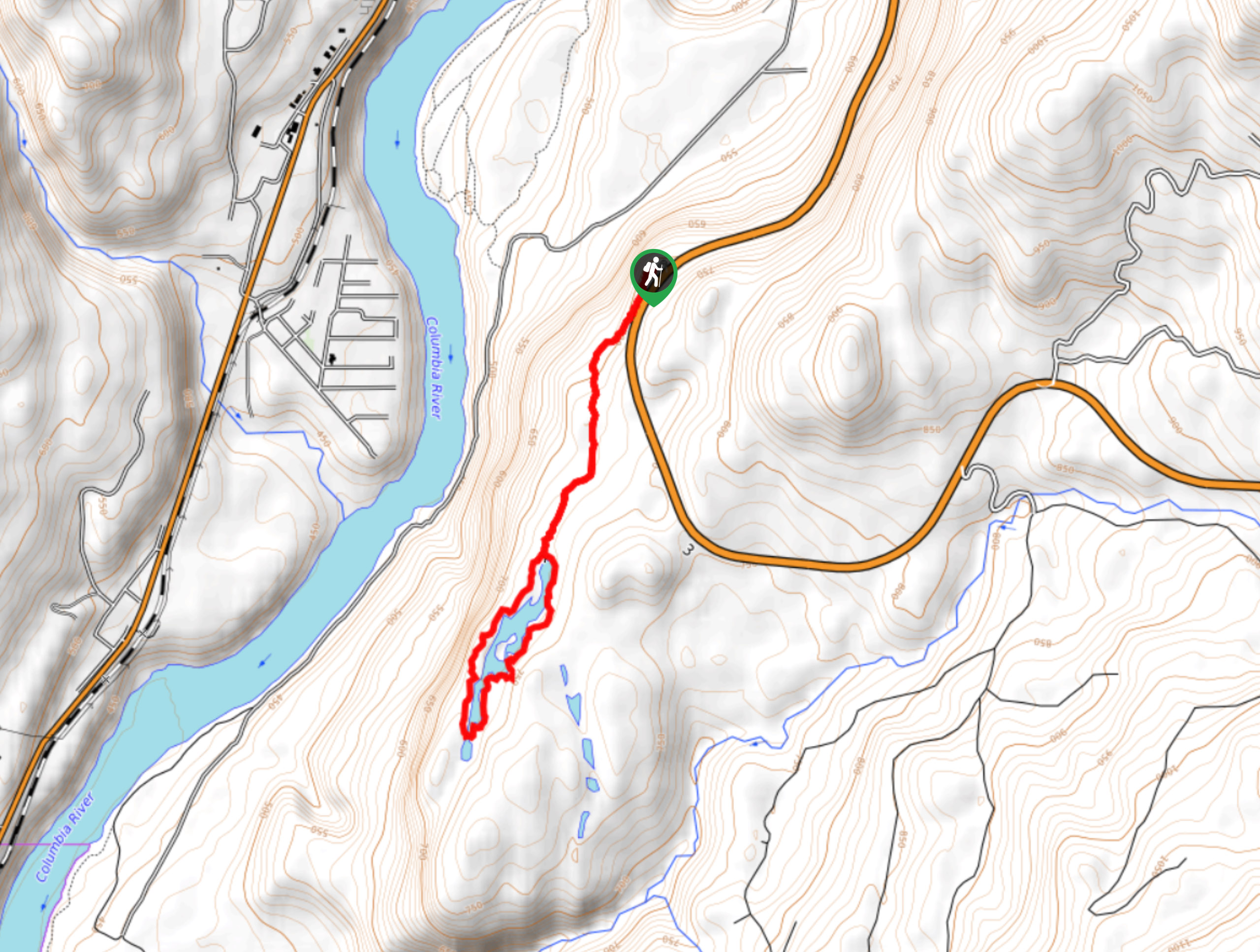
- Kokanee Glacier (10.4mi, 2014ft, 4.5-6h): Hiking to Kokanee Glacier is another classic hike in the West Kootenays. This hike is a beautiful way to explore the wilderness, not too far from the towns of Nelson or Kaslo. Enjoy a swim in the cool Kokanee Lake, the pretty views down valley and wide open meadows filled with marmots.
- Idaho Peak (2.1mi, 906ft, 2-3h): Idaho Peak is a popular West Kootenay hike to do with kids. Enjoy this relatively easy walk along the ridgeline to an old fire lookout. From the top you are rewarded with exceptional views of Slocan Lake and panoramic mountain ranges – you can see as far as Kokanee Glacier just outside of Nelson.
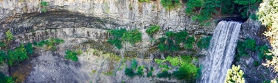
- Fry Creek Canyon (5.2mi, 1358ft, 3-5h): Fry Creek Canyon is a great shoulder season hike in the West Kootenays. This trail goes through the forest, ending where Fry Creek pours into Kootenay Lake. The canyon itself is impressive and can be followed for as long as you like.
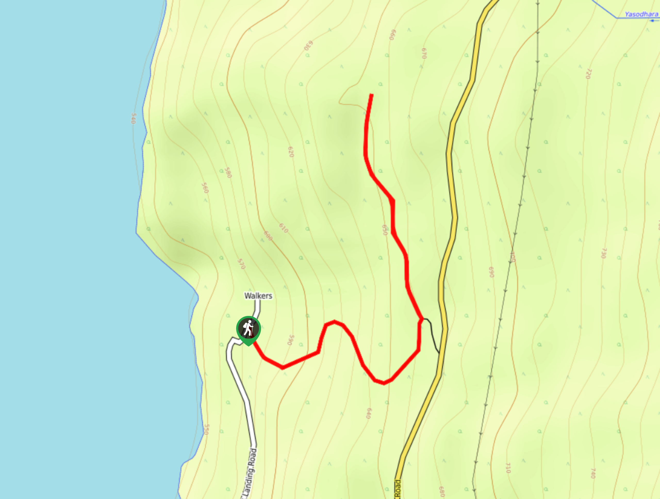
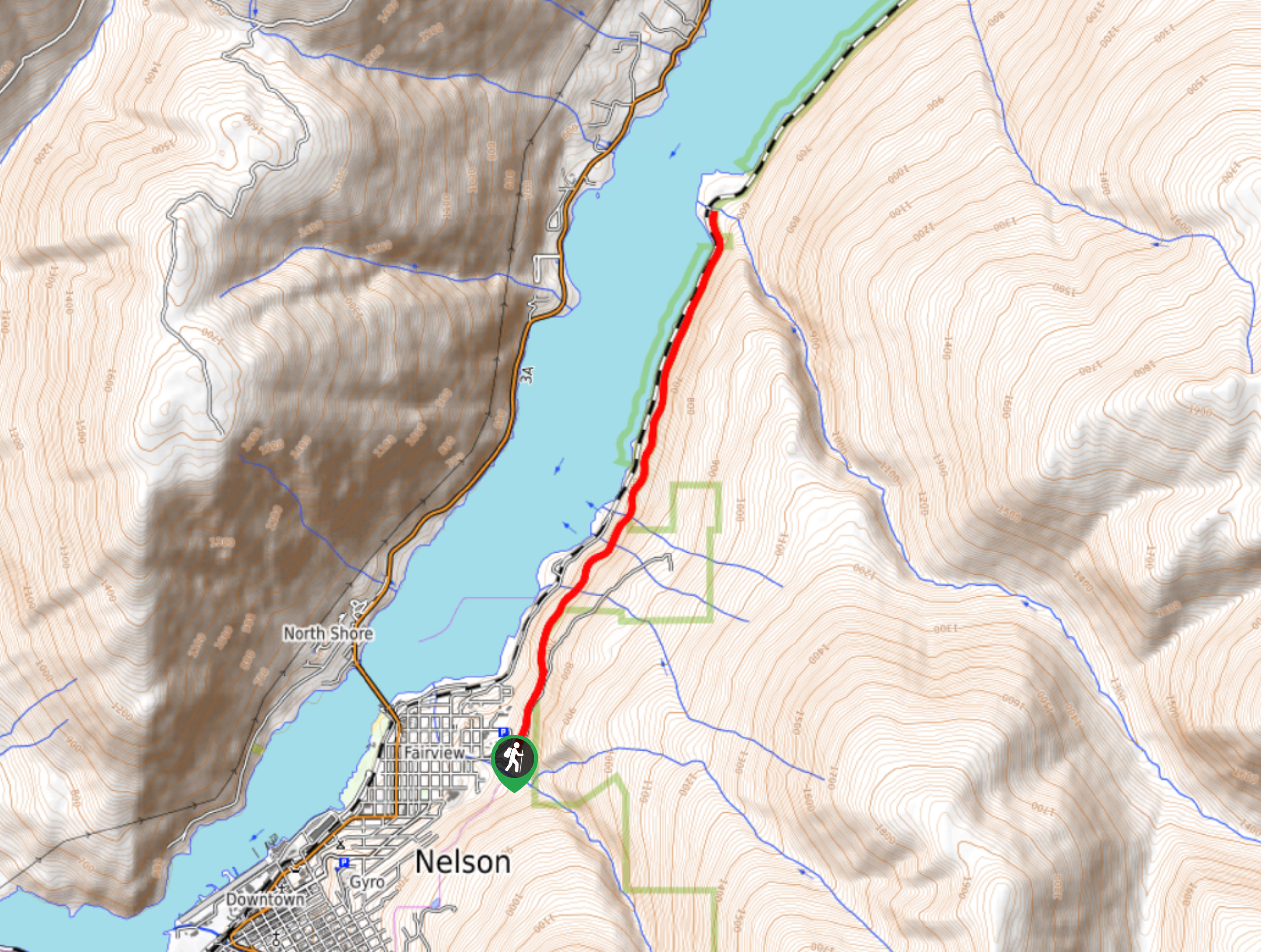
- Pulpit Rock and Flagpole (3.4mi, 2126ft, 1-3h): Pulpit Rock and Flagpole is an easy hike when staying in Nelson. This is a popular hike for a workout or family trip.
The best hikes in West Kootenays
01. Macbeth Icefield
Difficulty
The Macbeth Icefield hike in the West Kootenays, is the best hike for those who… Read More

02. Mount Loki
Difficulty
The Mount Loki hike is a classic West Kootenay Hike. Mount Loki is the highest… Read More
03. Jumbo Pass and Horseshoe Glacier
Difficulty
The Jumbo Pass hike is spectacular. Jumbo Pass, famous from Patagonia’s Jumbo Valley documentary and… Read More
04. Whitewater Canyon
Difficulty
The Whitewater Canyon hike take you along the inside of the canyon wall, through a… Read More
05. Gwillim Lakes
Difficulty
The Gwillim Lakes Hike is a beautiful hike with a large backcountry campsite located at… Read More
06. Gimli Ridge
Difficulty
The Gimli Ridge hike is one of the shorter hikes in the Valhallas, but has… Read More

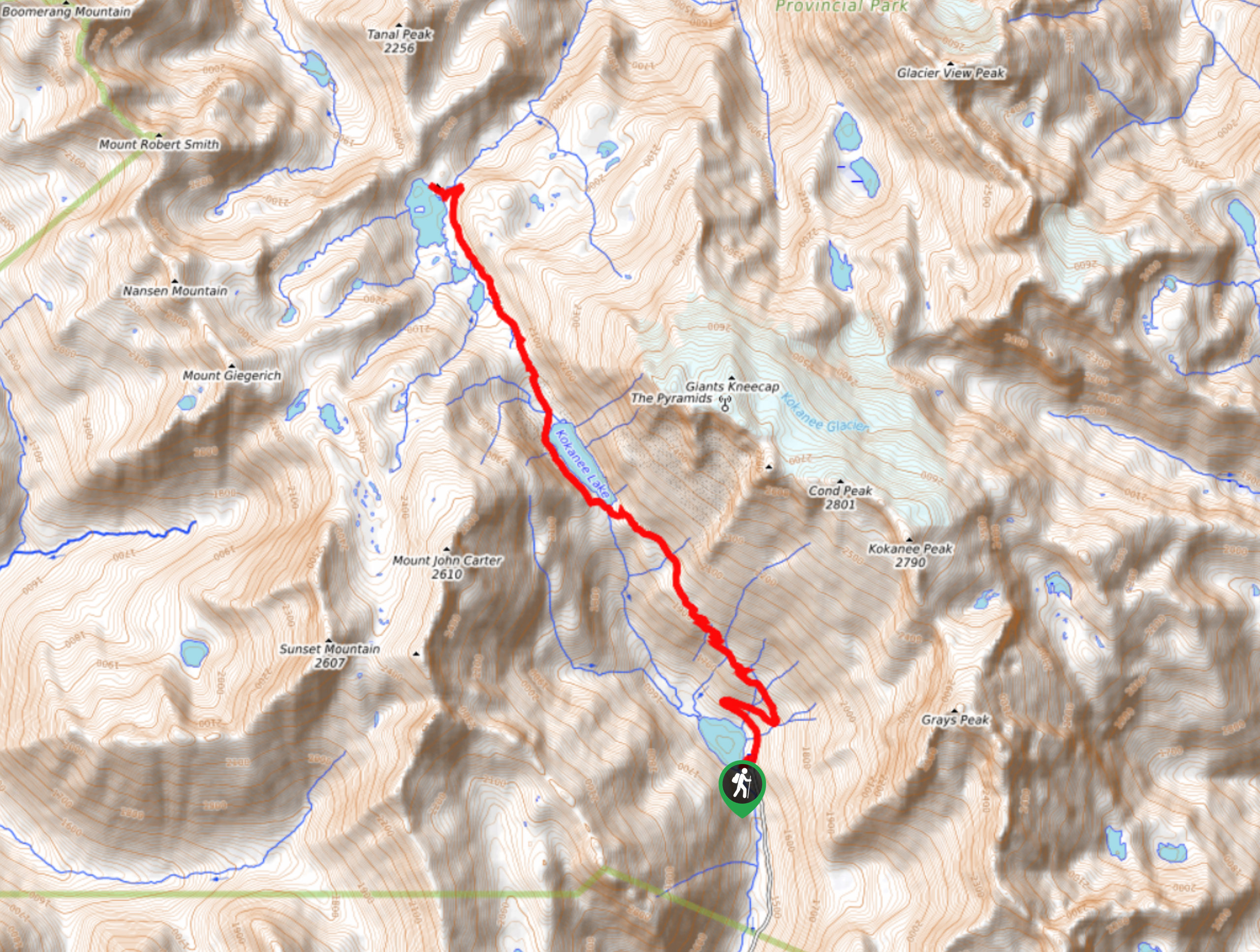
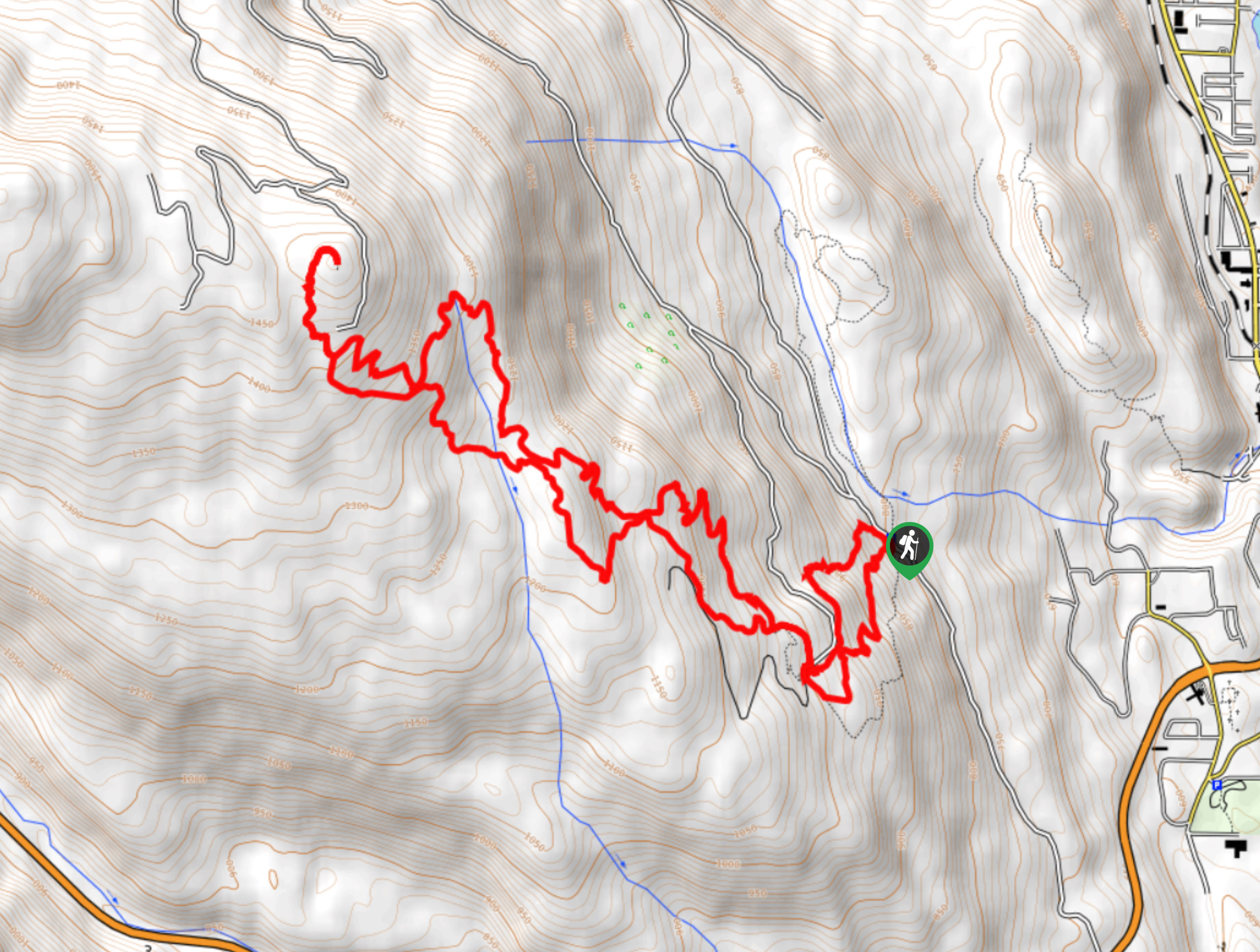
07. Kokanee Glacier Cabin
Difficulty
The Kokanee Glacier Cabin hike is a stunning hike in Kokanee Glacier Provincial Park. Starting… Read More
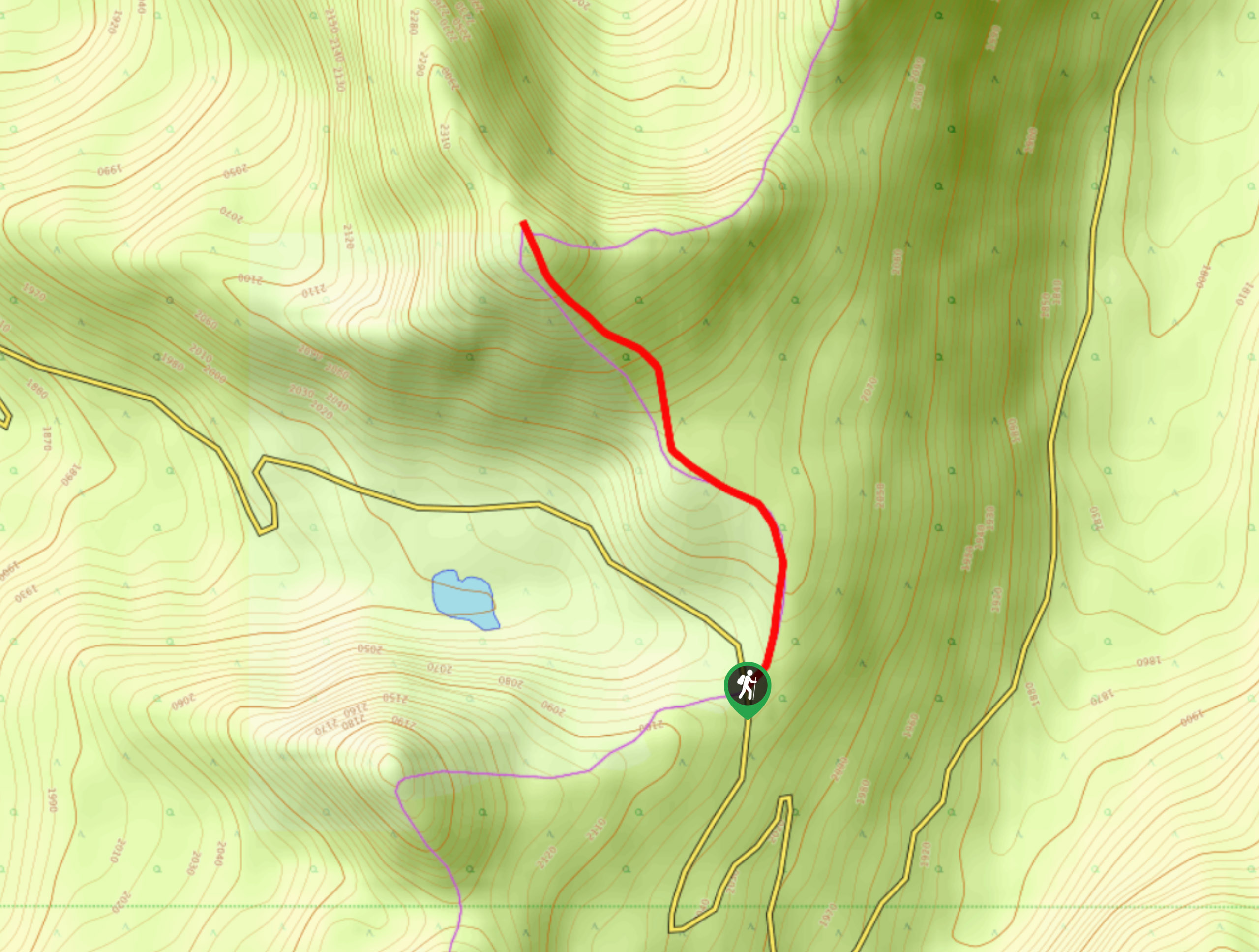
08. Idaho Peak
Difficulty
Important Notice: The road leading to Idaho Peak trailhead is currently washed out by a… Read More
09. Fry Creek Canyon
Difficulty
The Fry Creek Canyon hike is a great shoulder season hike through the impressive Fry… Read More
10. Pulpit Rock & the Flagpole
Difficulty
The Pulpit Rock hike, and the optional extension to the Flagpole, is a great hike… Read More
Yes, there are more than 10
West Kootenays is so beautiful that we can not give you only 10 hikes. So here is a list of bonus hikes in West Kootenays that you should take a look at as well
11. Plaid Lake and Mt Crawford
Difficulty
Plaid Lake is a beautiful hike with an optional extension to summit Mount Crawford for… Read More
12. Mel DeAnna Trail Loop
Difficulty
The Mel DeAnna Trail Loop is a 3.3mi hiking route near Castlegar, BC,… Read More
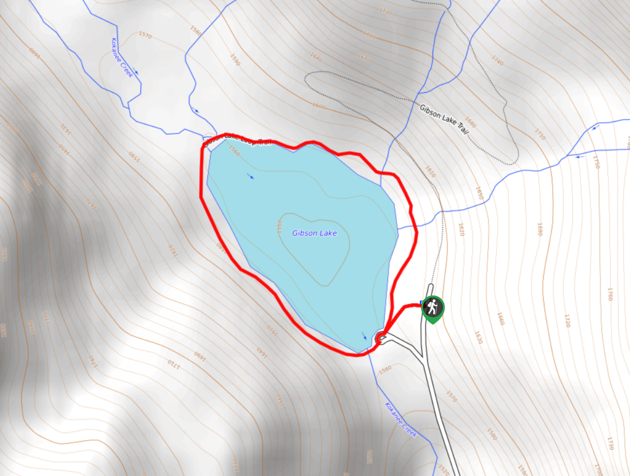
13. Gibson Lake Loop Hike
Difficulty
The Gibson Lake Loop Hike is a short 1.2mi hiking route in Kokanee… Read More
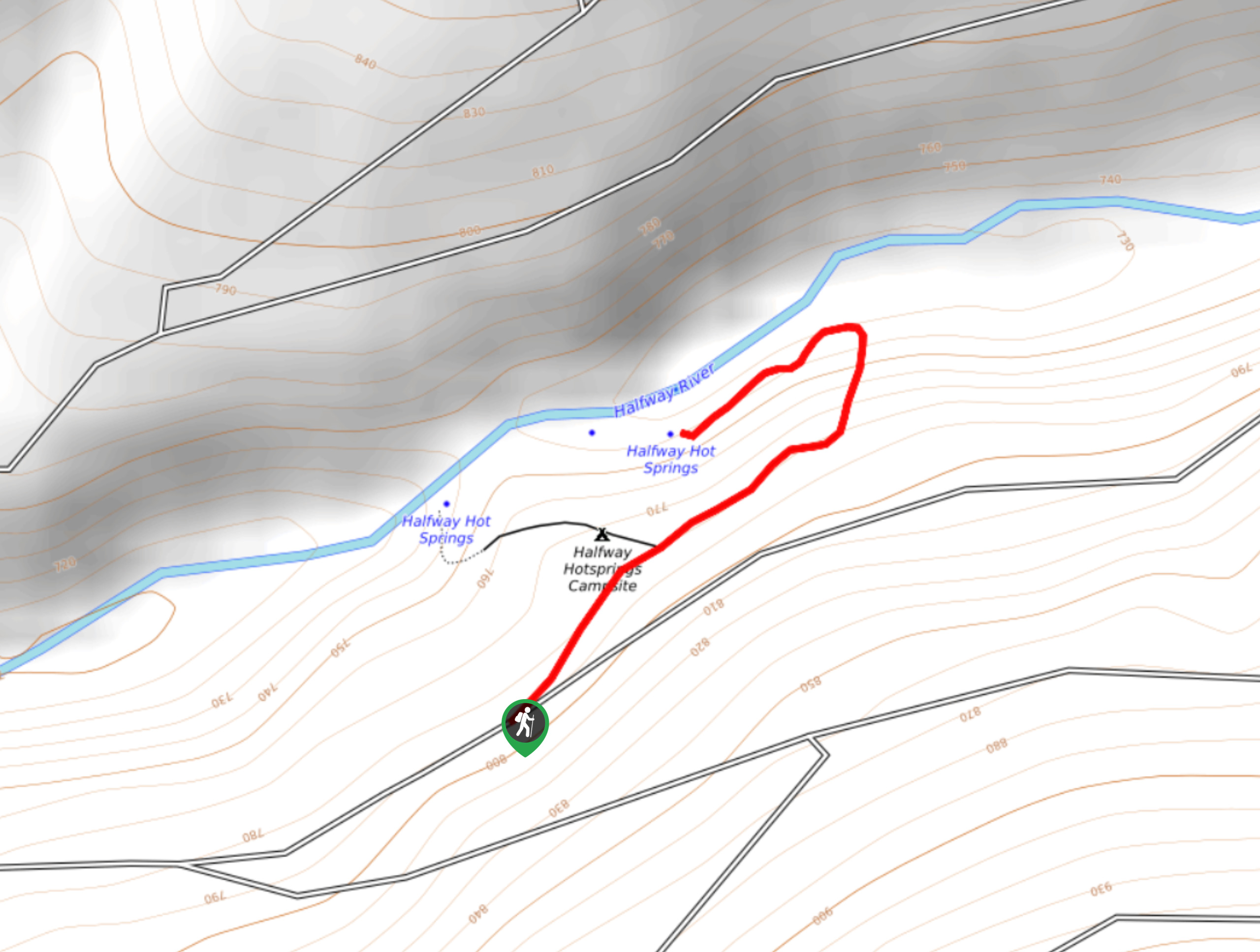
14. Halfway Hot Springs Hike
Difficulty
The trail to the Halfway Hot Springs is a short 1.0mi hiking route… Read More
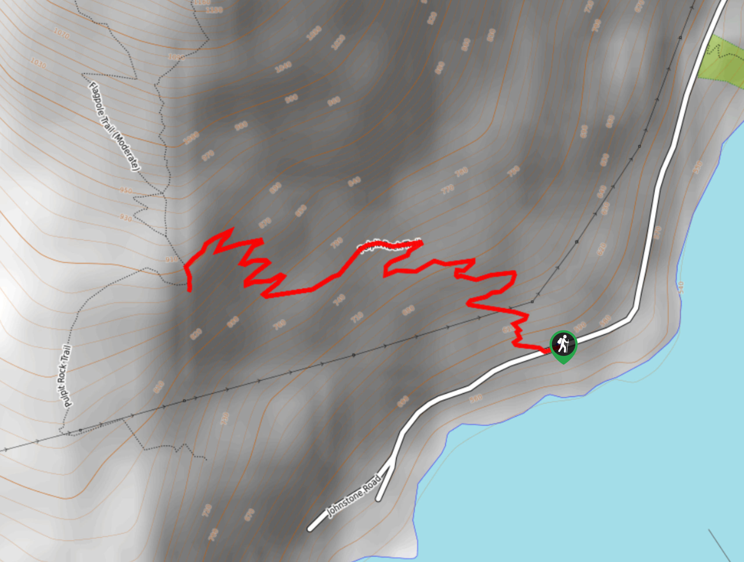
15. Pulpit Rock Hike
Difficulty
Pulpit Rock is a 2.2mi out-and-back hiking route in Nelson, BC that climbs… Read More
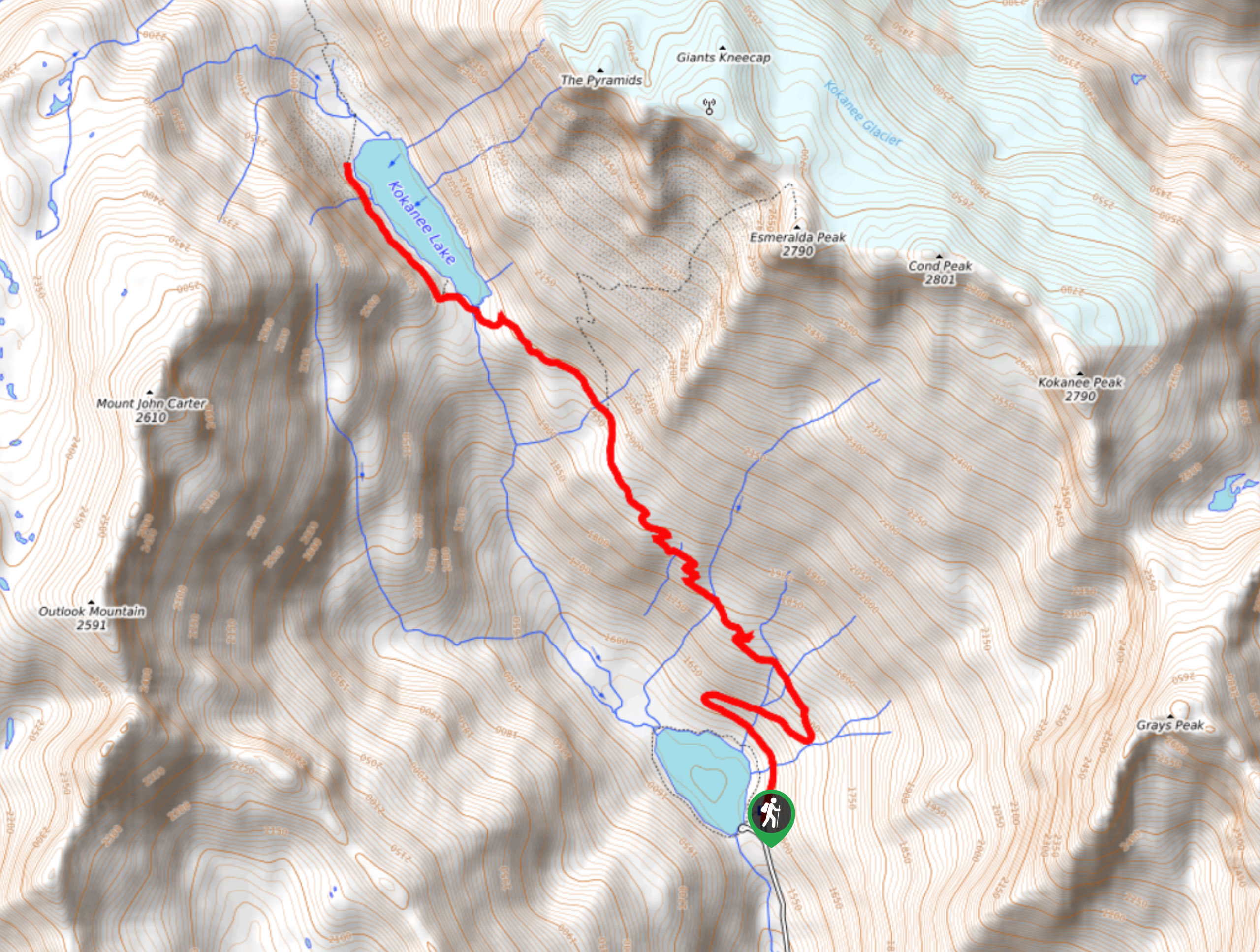
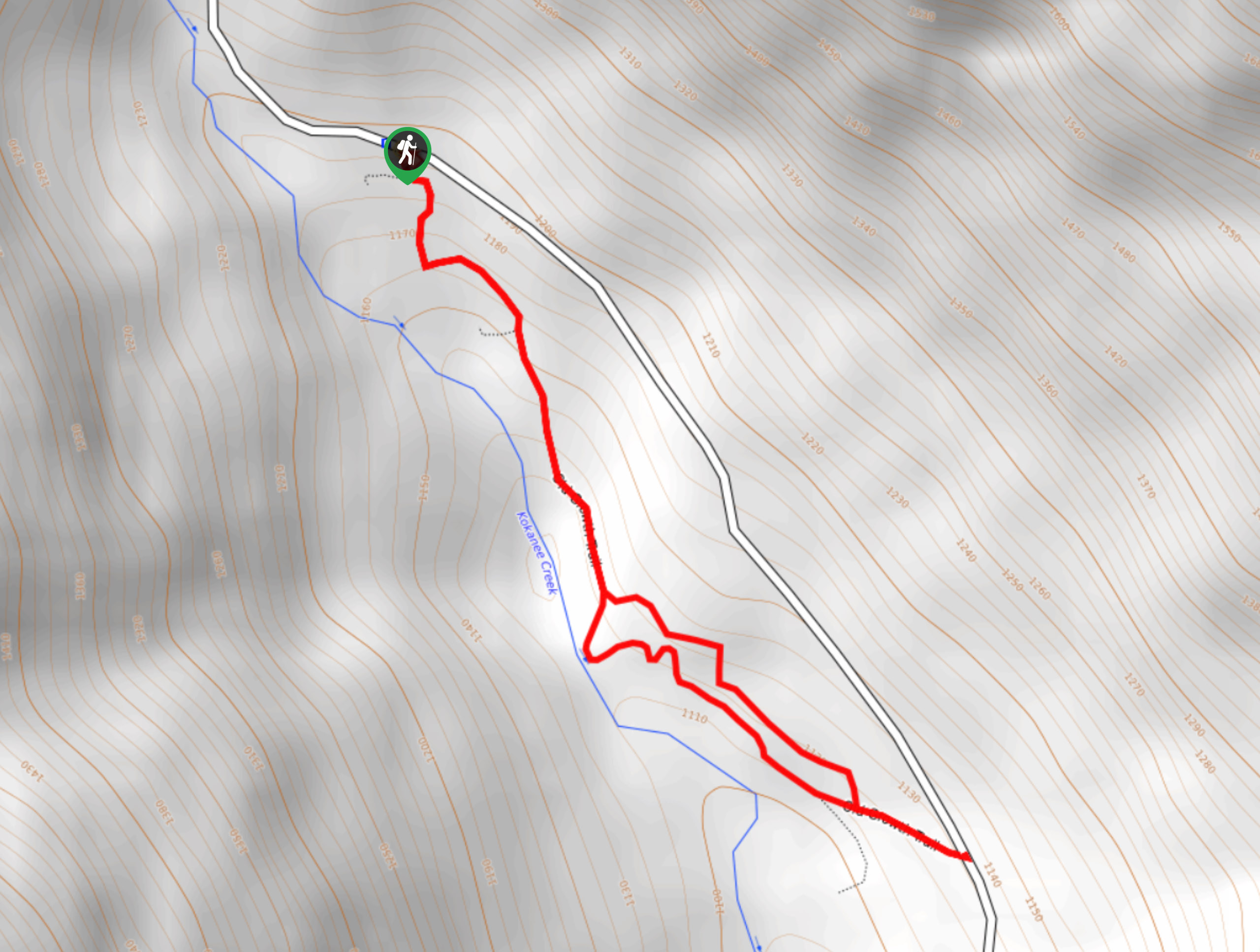
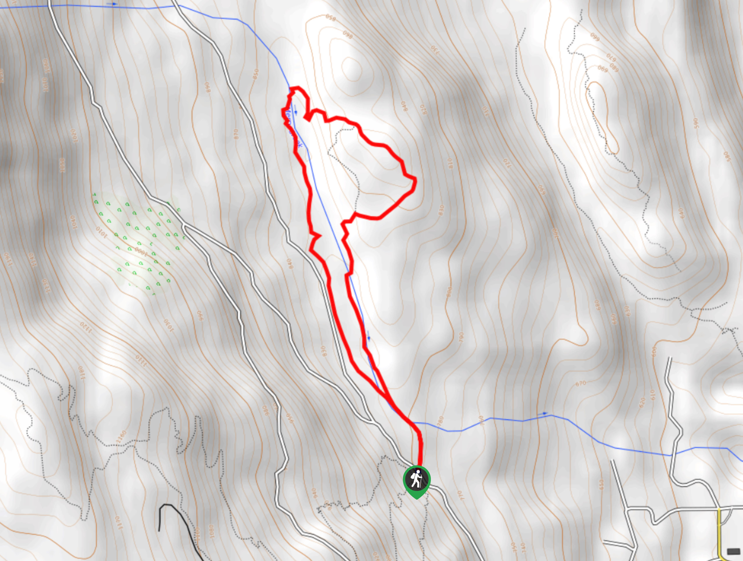
16. Kokanee Lake
Difficulty
The hike to Kokanee Lake is a 6.3mi out-and-back route in Kokanee Glacier… Read More
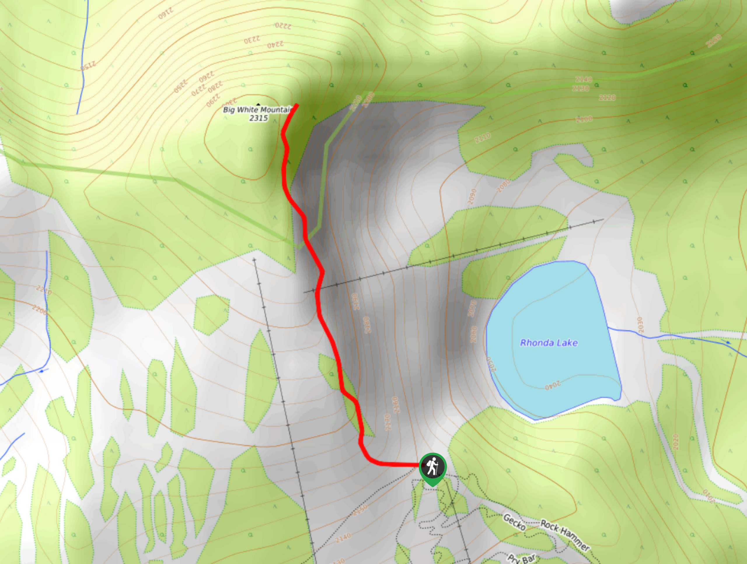
17. Big White Mountain Peak Trail
Difficulty
The Big White Mountain Peak Trail is a 1.4mi out-and-back hiking route that… Read More
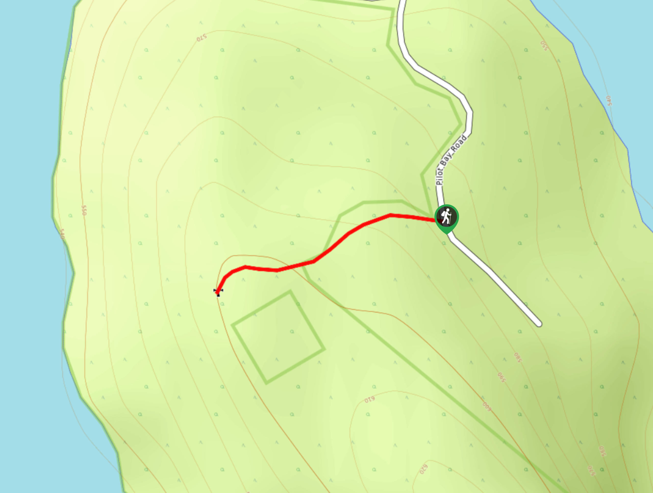
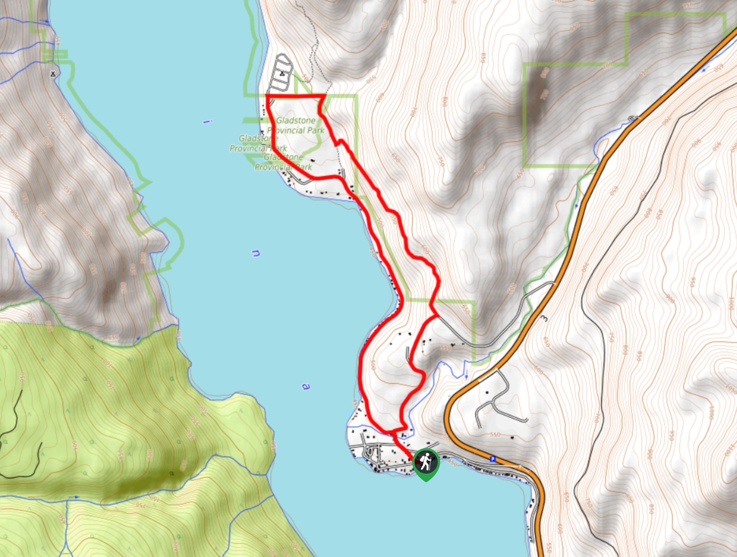
18. Pilot Bay Lighthouse Trail
Difficulty
The Pilot Bay Lighthouse Trail is a 0.4mi out-and-back hiking route in Pilot… Read More
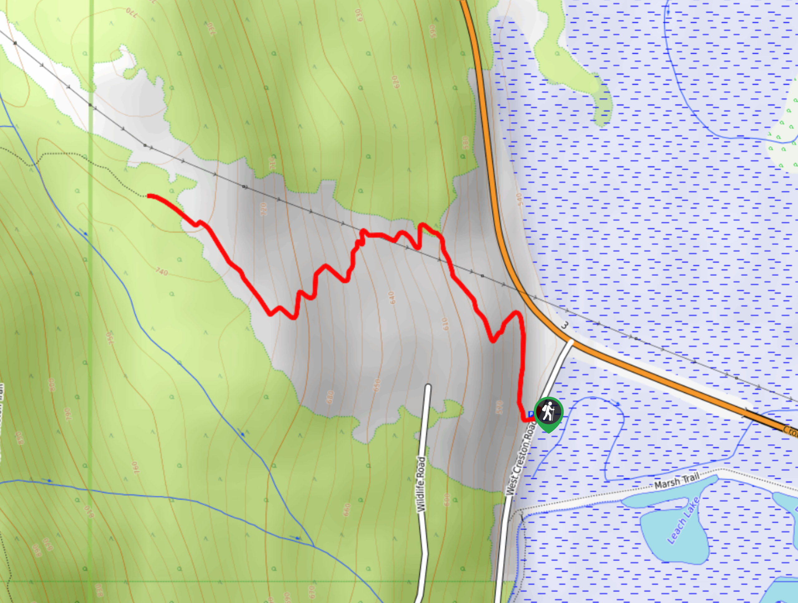
19. Arrow Mountain
Difficulty
The Arrow Mountain trail is a 8.3mi out-and-back hiking route in Creston, BC,… Read More
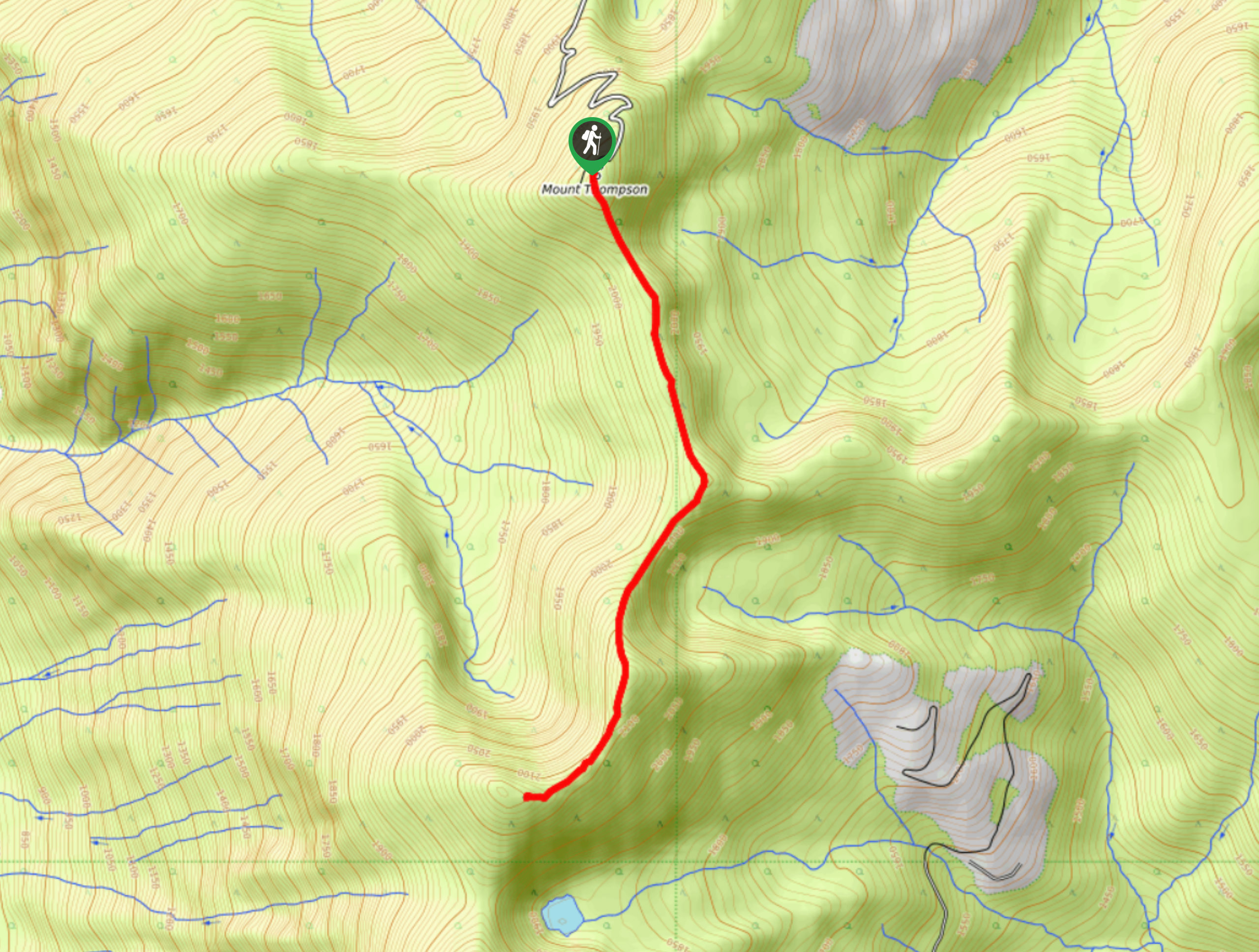
20. Thompson Rim Trail
Difficulty
The Thompson Rim Trail is a 4.4mi out-and-back hiking route near Creston, BC,… Read More
21. Balancing Rock Trail
Difficulty
The Balancing Rock Trail is a quick 1.5mi out-and-back hiking route near Creston,… Read More
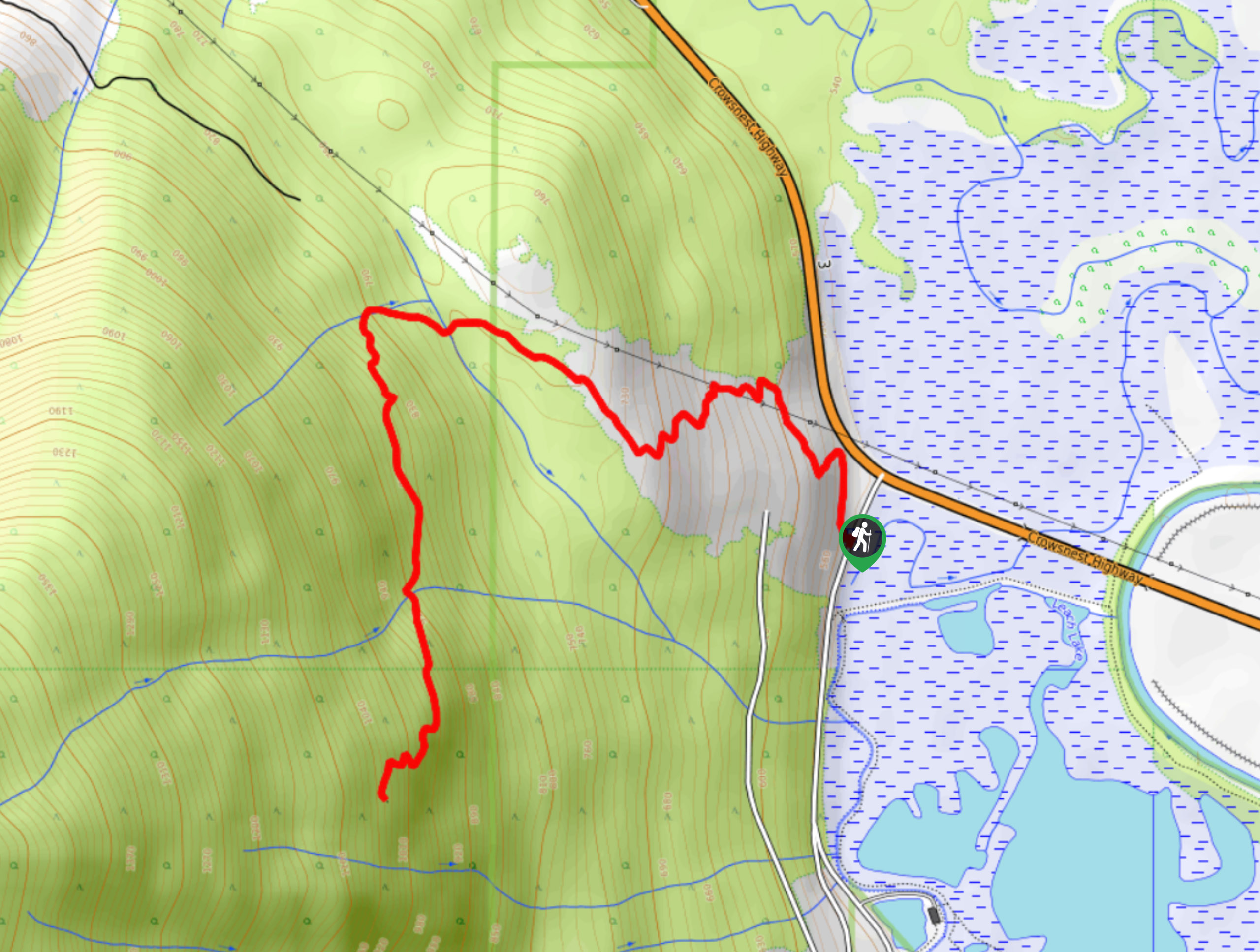
22. Mount Creston Trail
Difficulty
The Mount Creston Trail is a 4.8mi out-and-back hiking route near Creston, BC,… Read More
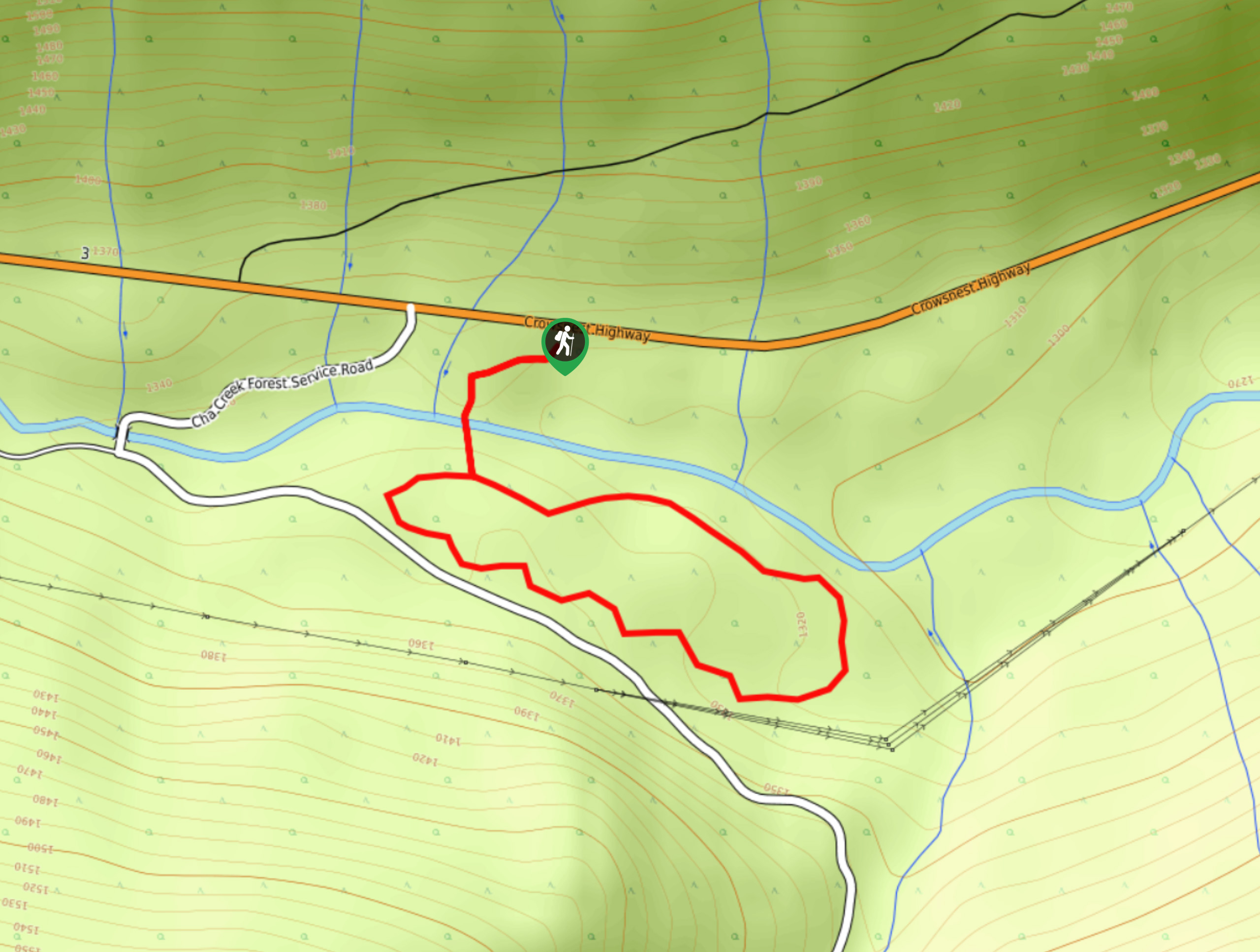
23. Ka Papa Cedar Trail
Difficulty
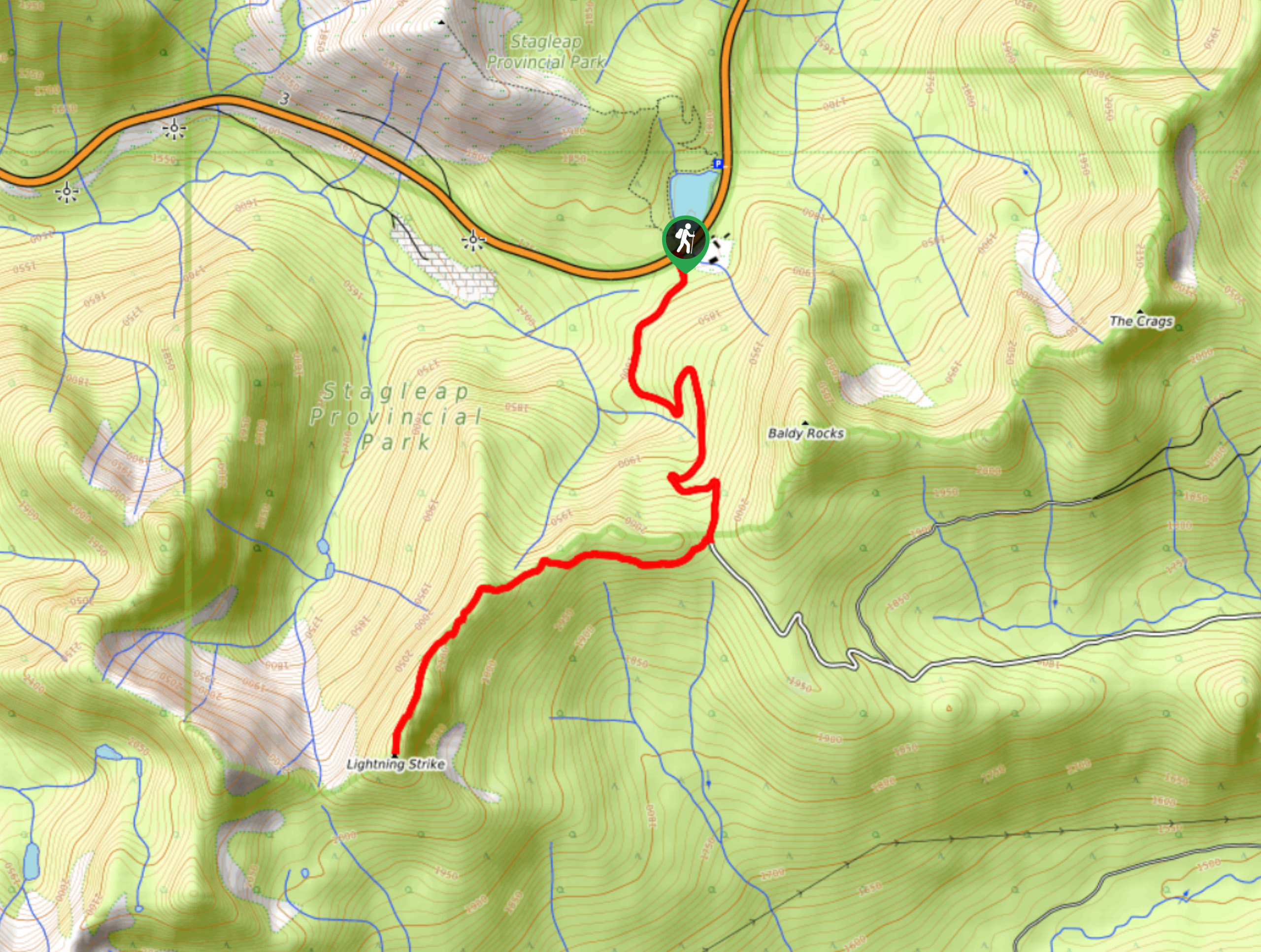
The Ka Papa Cedar Trail is a 1.3mi lollipop hiking route near Stagleap… Read More
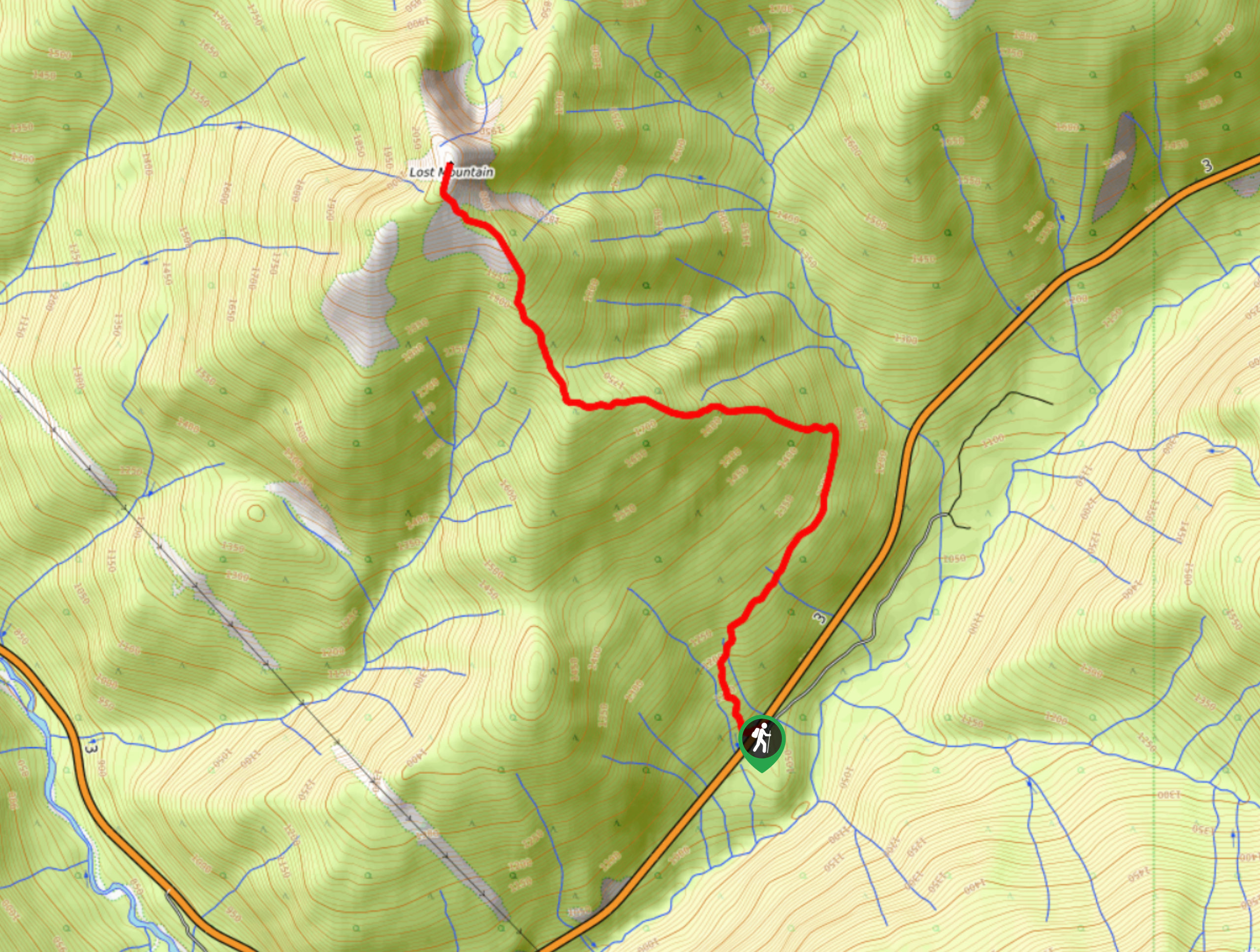
24. Lost Mountain Hike
Difficulty
The trail up Lost Mountain is a 5.7mi out-and-back hiking route that climbs… Read More
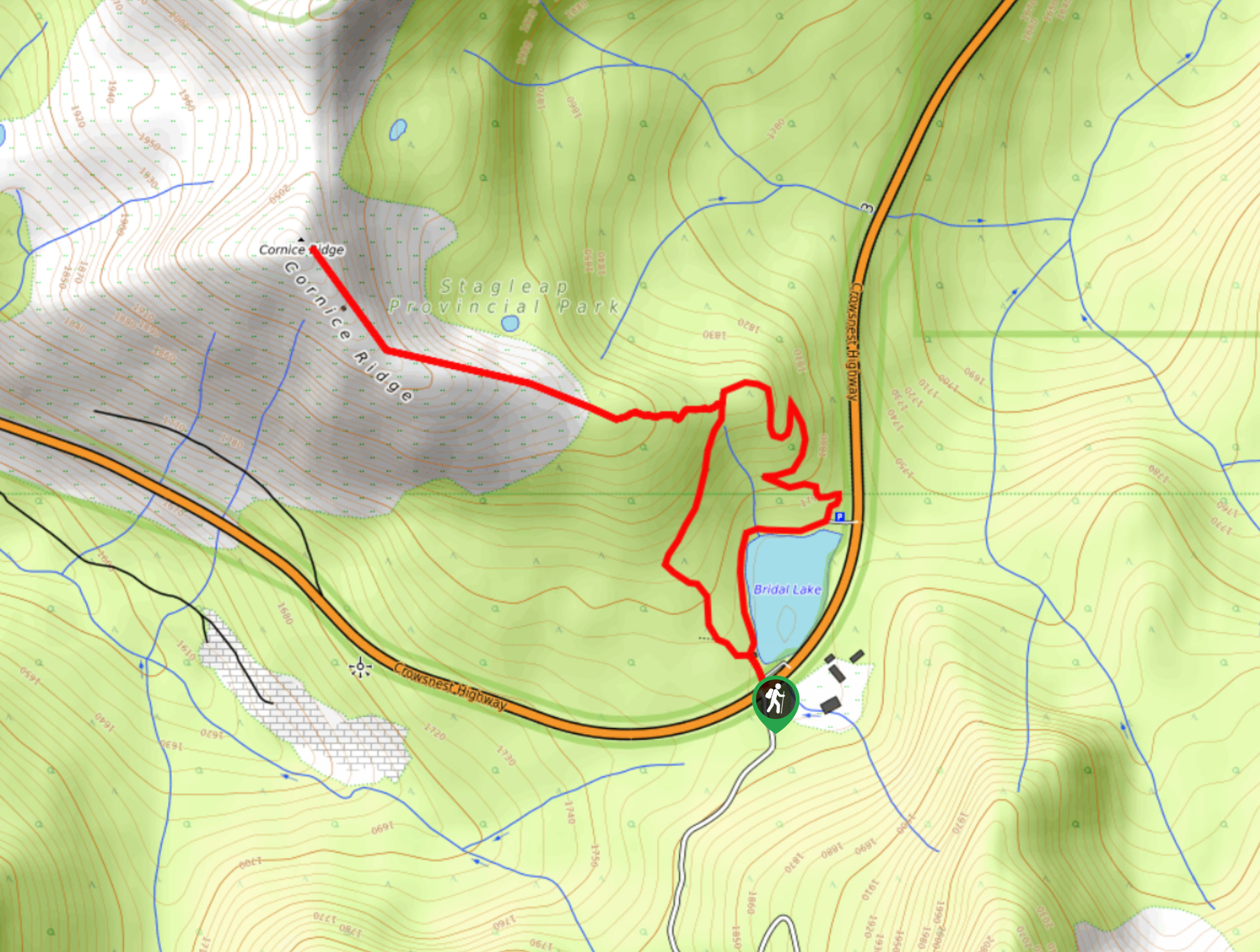
25. Cornice Ridge Trail
Difficulty
The Cornice Ridge Trail is a 5km lollipop hiking route in Stagleap Provincial Park that… Read More
26. Gibson Lake Trail to Keen Lake
Difficulty
The Gibson Lake Trail to Keen Lake is an 11.6mi out-and-back hiking route… Read More
27. Easter Rock Trail
Difficulty
The Easter Rock Trail is a 1.5mi out-and-back hiking route near Crawford Bay,… Read More
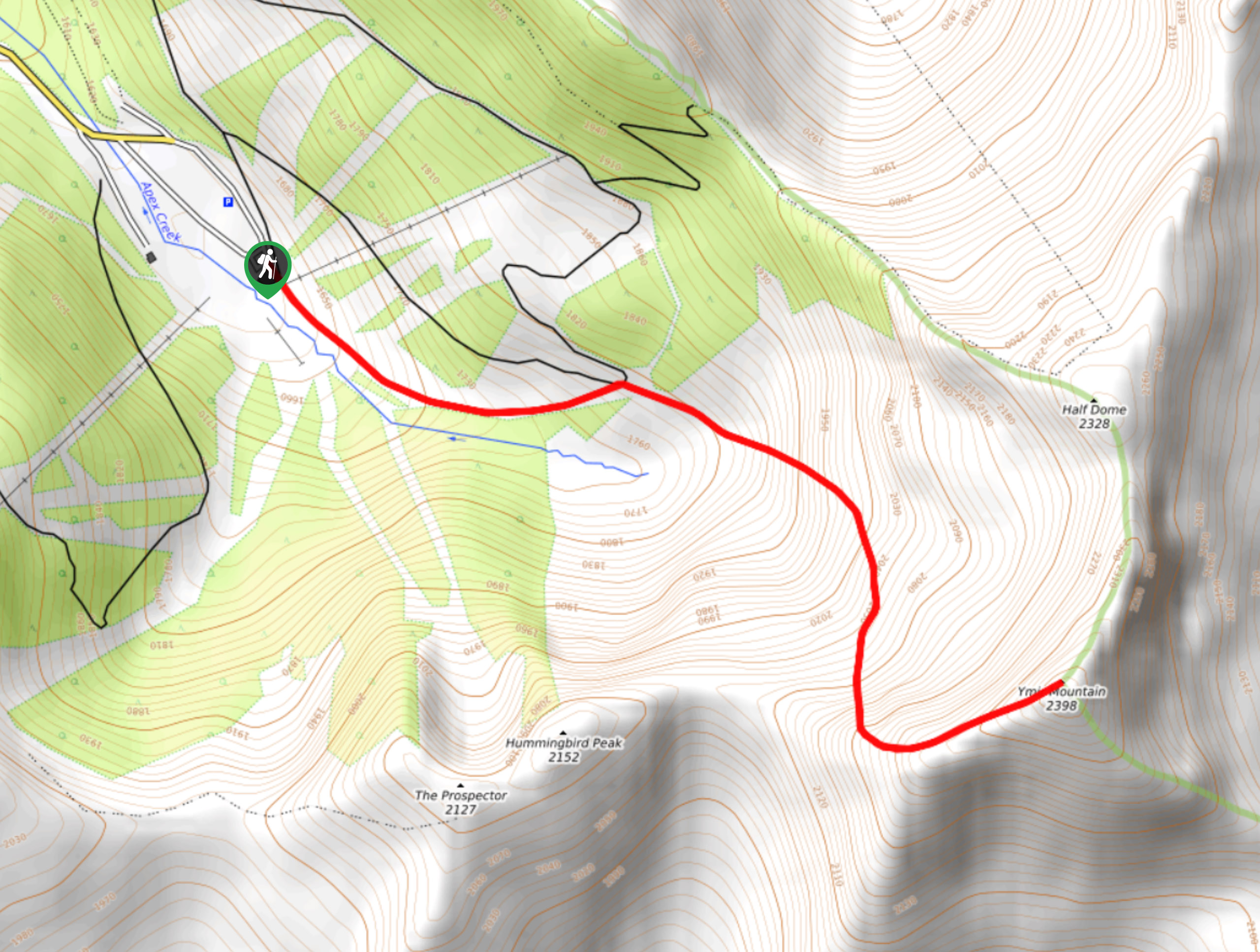
28. Ymir Mountain Hike
Difficulty
The trail leading up Ymir Mountain is a 3.9mi out-and-back hiking route at… Read More
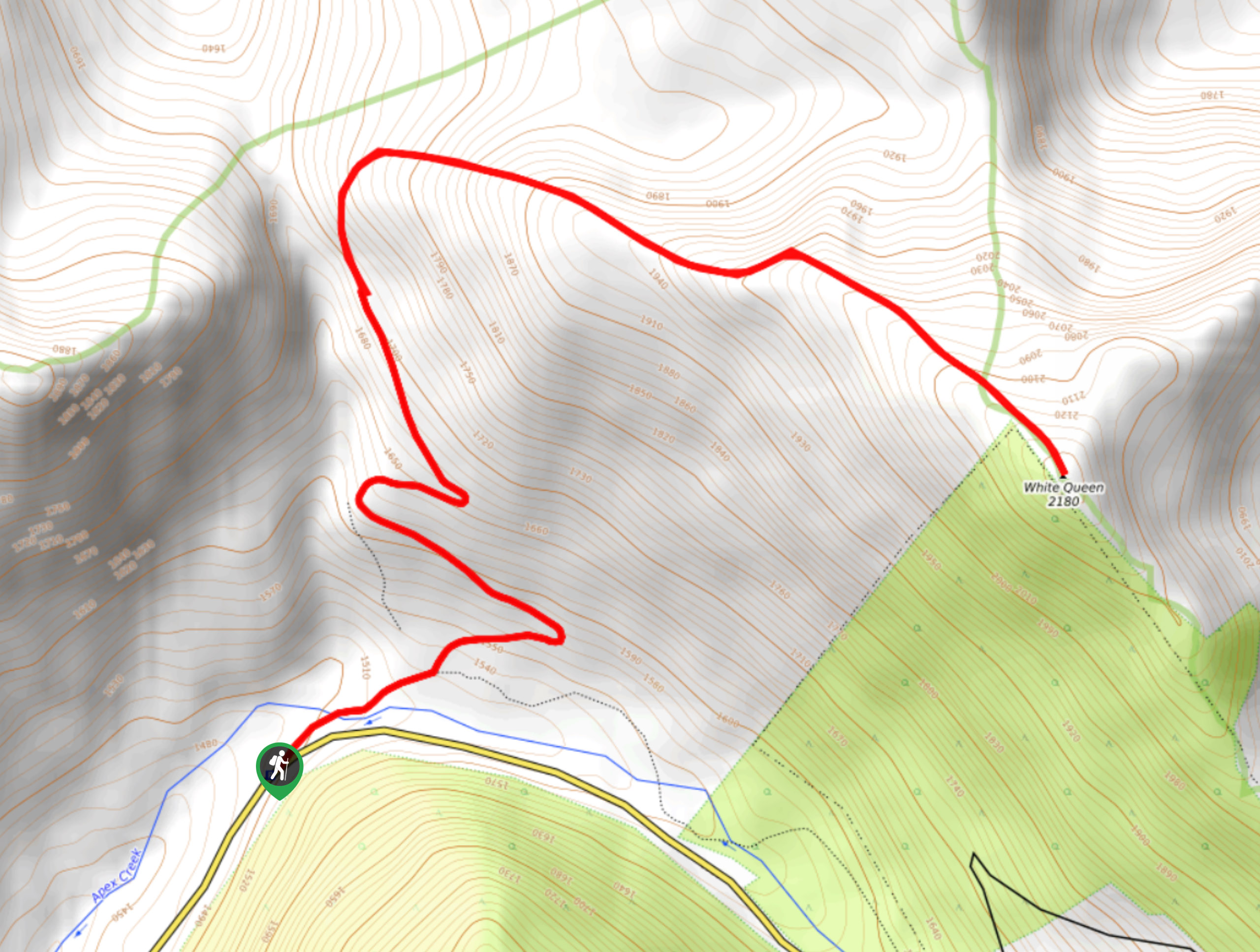
29. White Queen Hike
Difficulty
The trail to the summit of the White Queen is a 6.3mi out-and-back… Read More
30. Old Growth Recreation Trail
Difficulty
The Old Growth Recreation Trail is a 1.6mi out-and-back hiking route near the… Read More
31. Ripple Ridge Trail
Difficulty
The Ripple Ridge Trail is a 6.3mi out-and-back hiking route in Stagleap Provincial… Read More
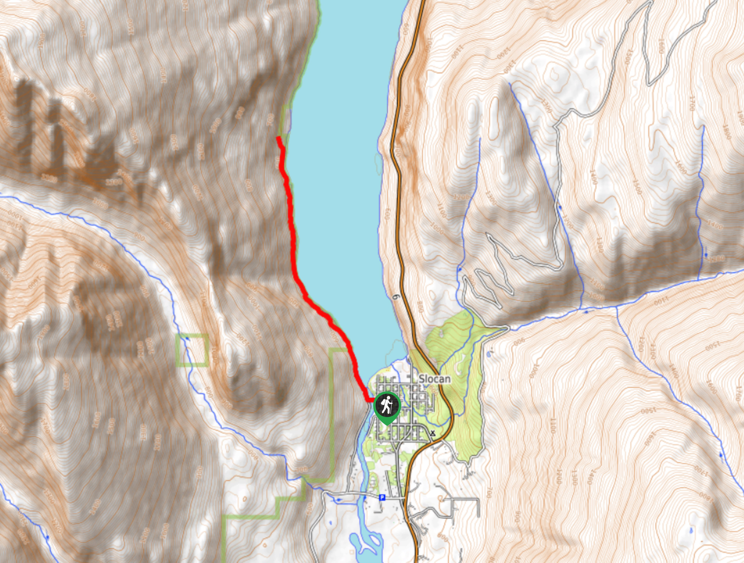
32. Slocan-Evans Trail
Difficulty
The Slocan-Evans Trail is an 5.1mi out-and-back hiking route that sets out from… Read More
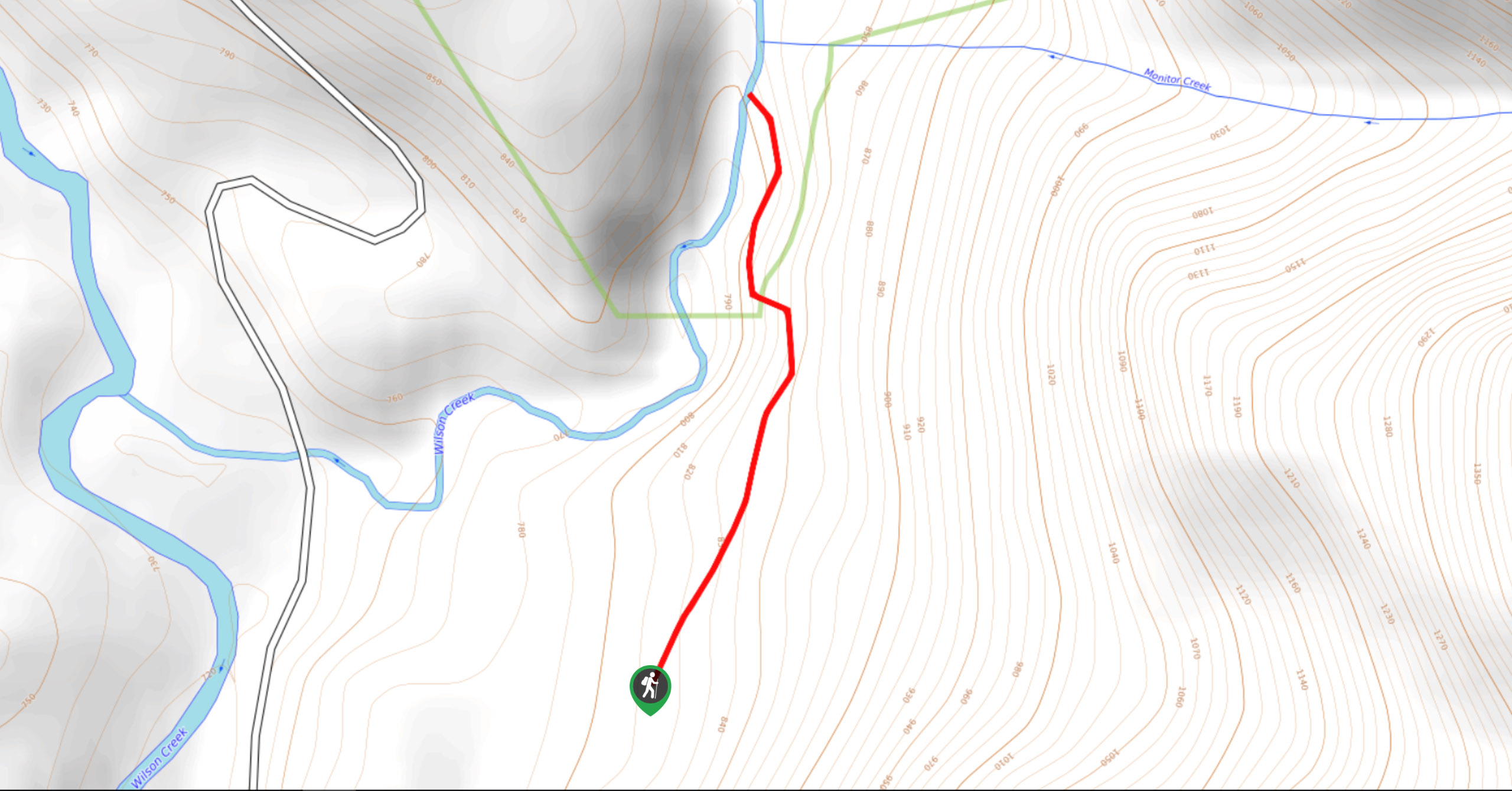
33. Wilson Creek Falls Trail
Difficulty
The Wilson Creek Falls Trail is a 1.8mi out-and-back route in Goat Range… Read More
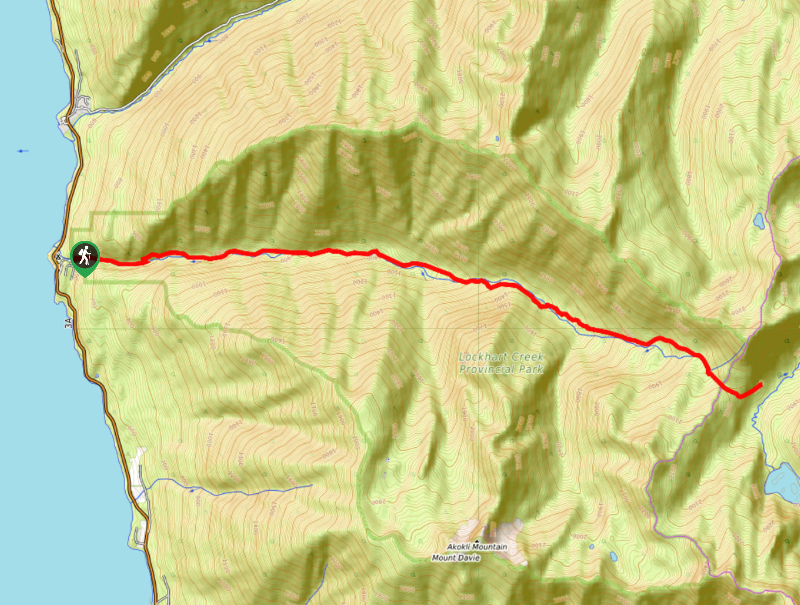
34. Lockhart Trail
Difficulty
The Lockhart Trail is a 14.4mi out-and-back hiking route that will take you… Read More
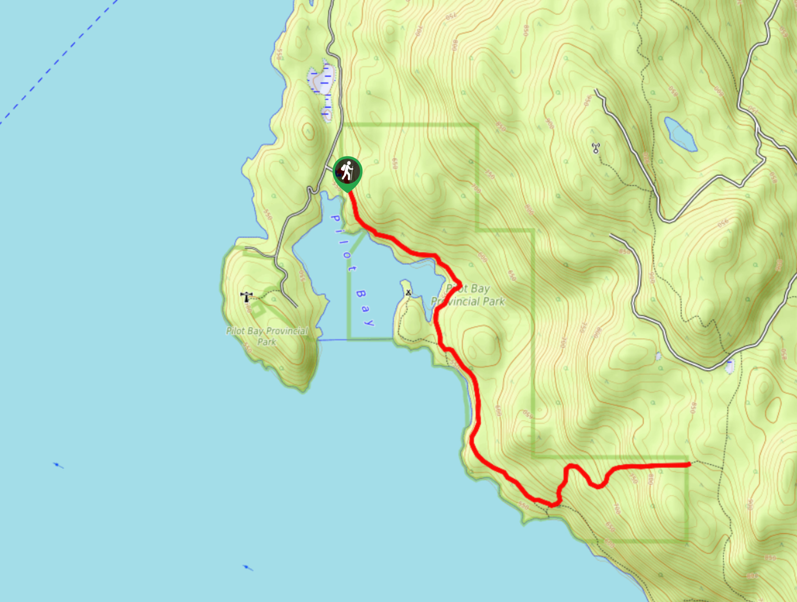
35. Pilot Bay Peninsula Trail
Difficulty
The Pilot Bay Peninsula Trail is a 9km out-and-back hiking route in Pilot Bay Provincial… Read More
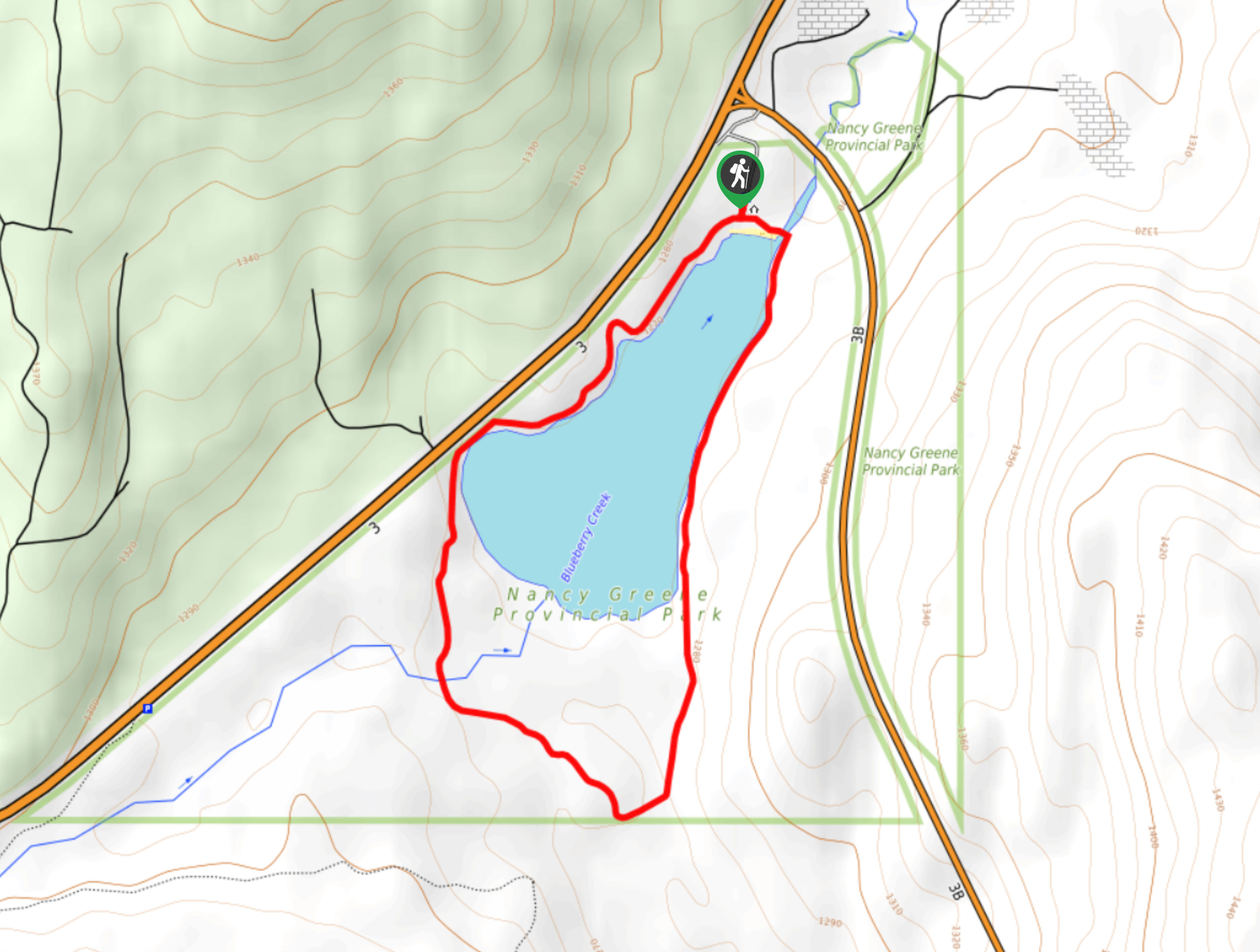
36. Nancy Greene Lake Loop
Difficulty
The Nancy Greene Lake Loop is a 2.5mi circuit hiking route in Nancy… Read More
37. Badger Trail
Difficulty
The Badger Trail is an 5.0mi lollipop hiking route that passes through a… Read More
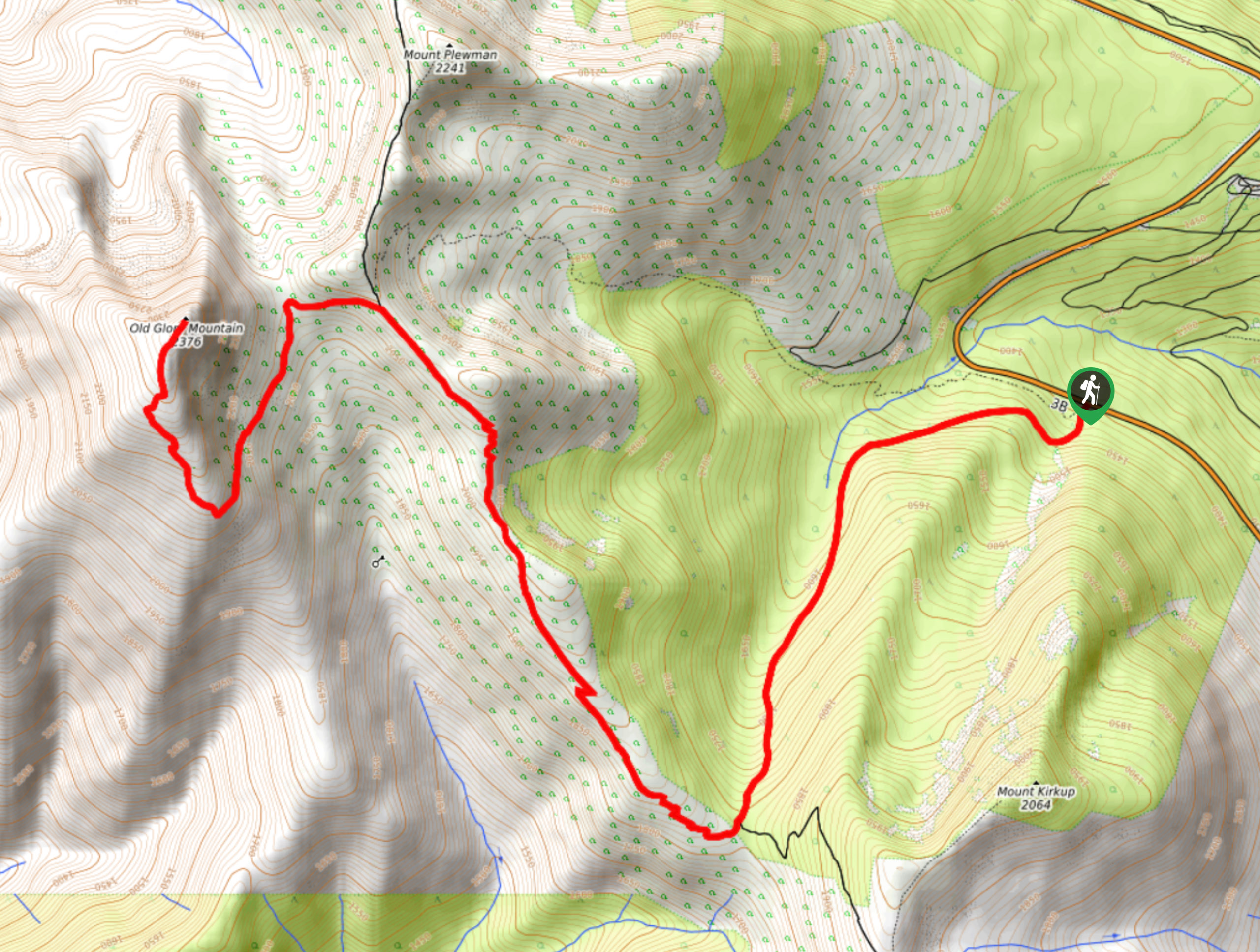
38. Old Glory Trail
Difficulty
The Old Glory Trail is a 11.8mi out-and-back hiking route in the Rossland… Read More
39. Kuskanax Creek Nakusp Hot Springs Trail
Difficulty
The Kuskanax Creek Nakusp Hot Springs Trail is a 10.3mi out-and-back hiking route… Read More
40. Great Northern Trail
Difficulty
The Great Northern Trail is an 6.9mi out-and-back hiking route that will take… Read More
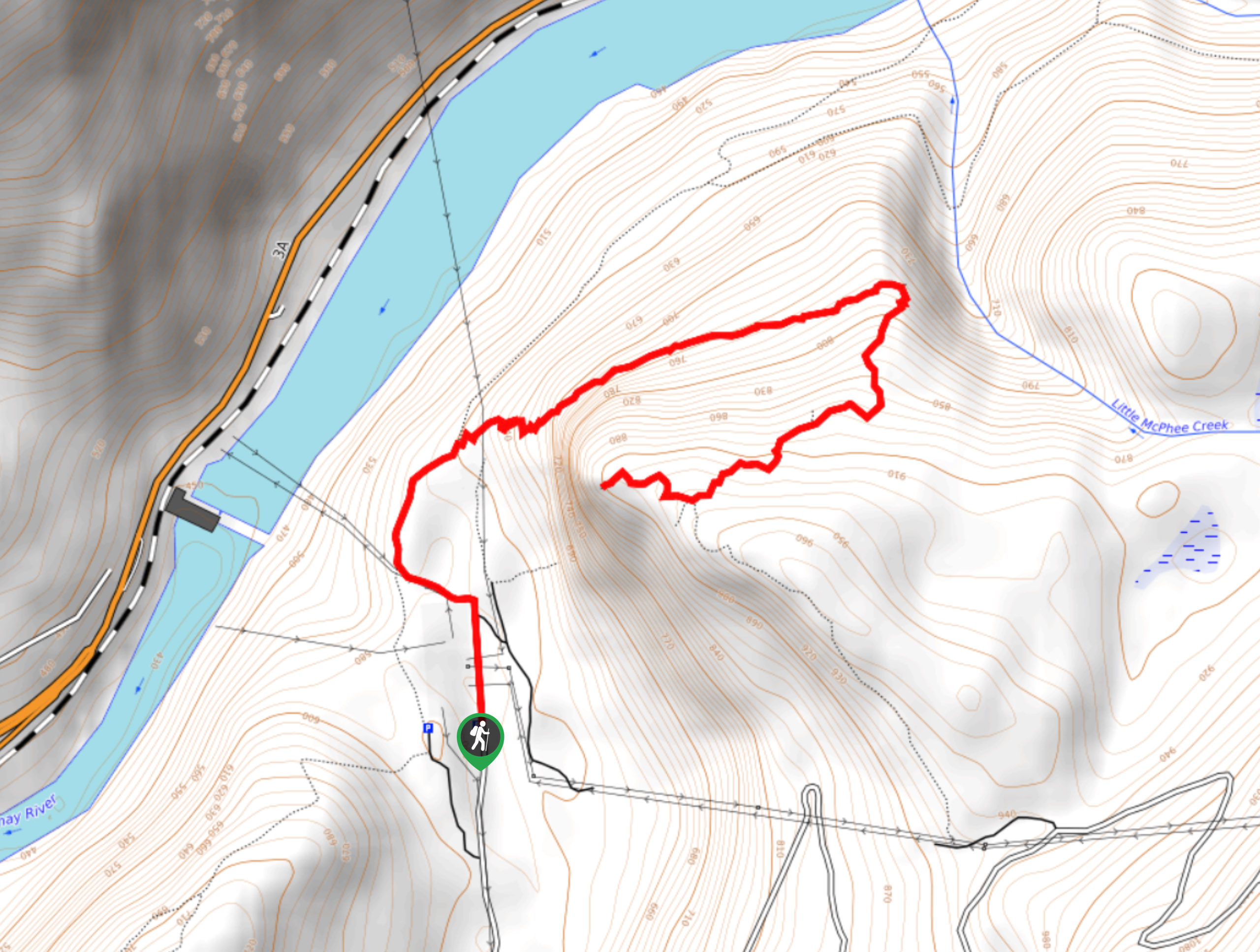
41. McPhee Waterfalls Hike
Difficulty
The McPhee Waterfalls Hike is a 3.5mi out-and-back hiking route near Castlegar, BC,… Read More
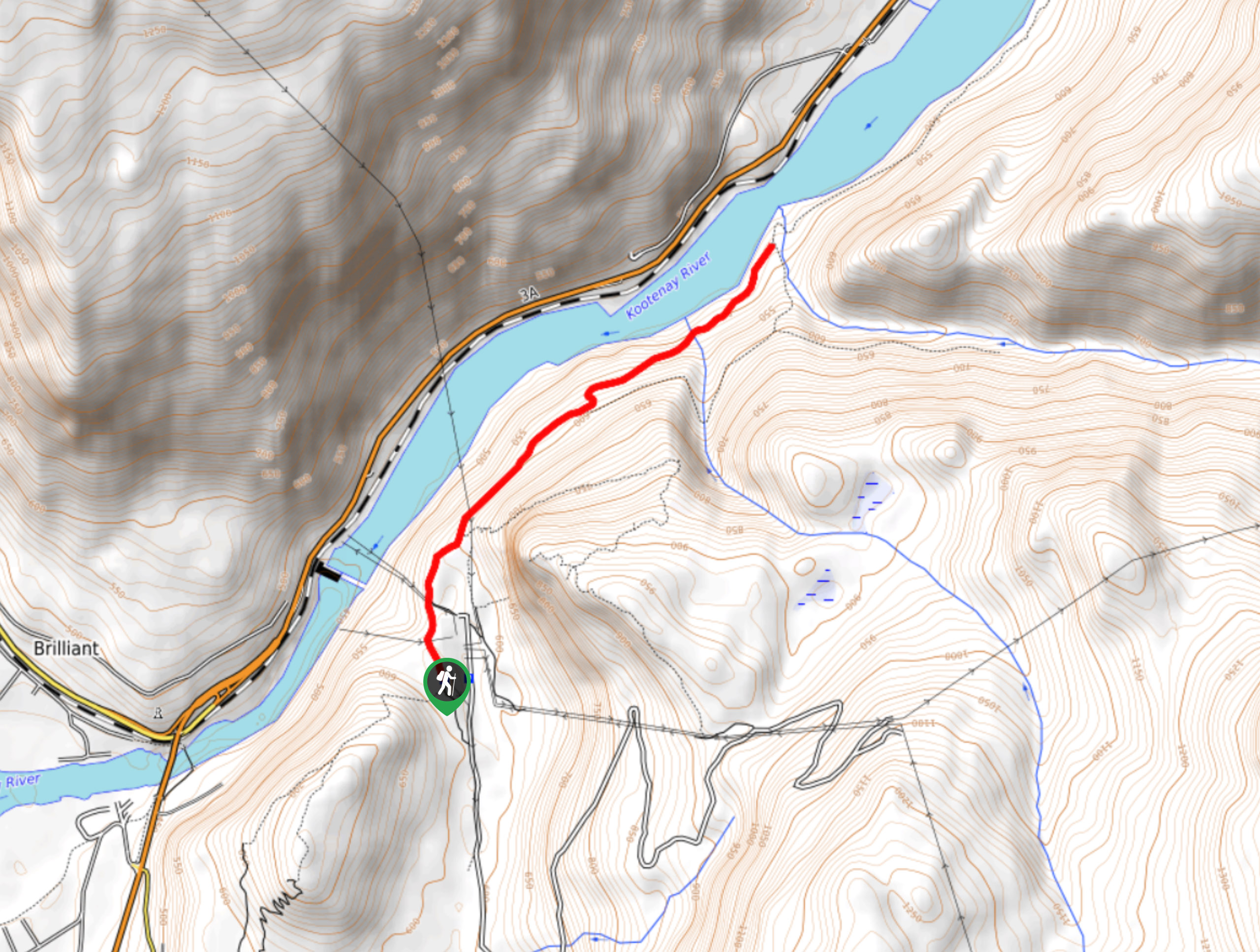
42. Brilliant Overlook Hike
Difficulty
The hike to Brilliant Overlook is a 3.7mi out-and-back trail in Castlegar, BC,… Read More
43. Merry Loop
Difficulty
The Merry Loop Trail is a 8.7mi circuit hiking route that utilizes a… Read More
44. Merry Creek Trail
Difficulty
The Merry Creek Trail is a 2.8mi lollipop hiking route in Castlegar, BC… Read More
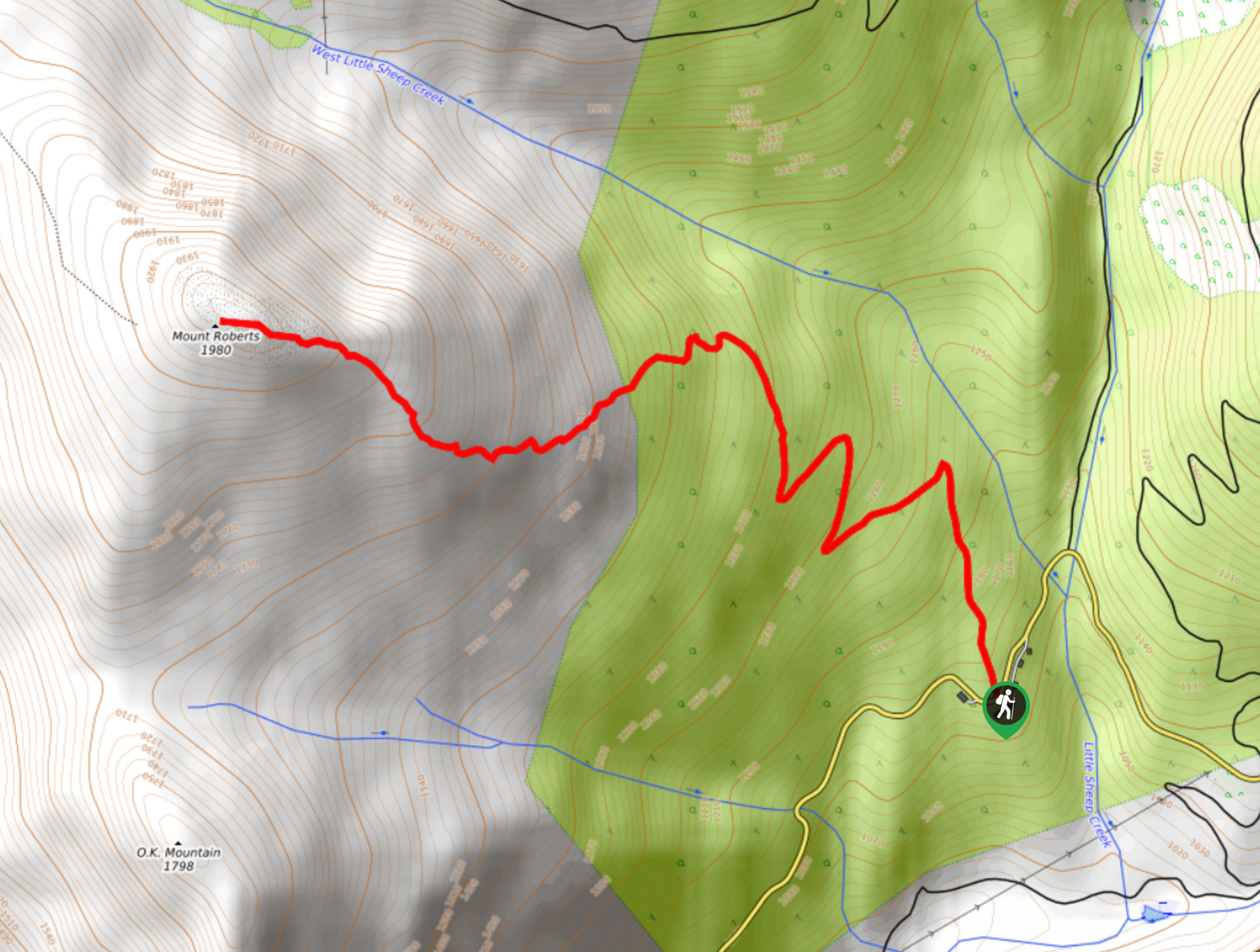
45. Mount Roberts Trail
Difficulty
The hike up Mount Roberts follows a rugged 4.6mi out-and-back trail that will… Read More
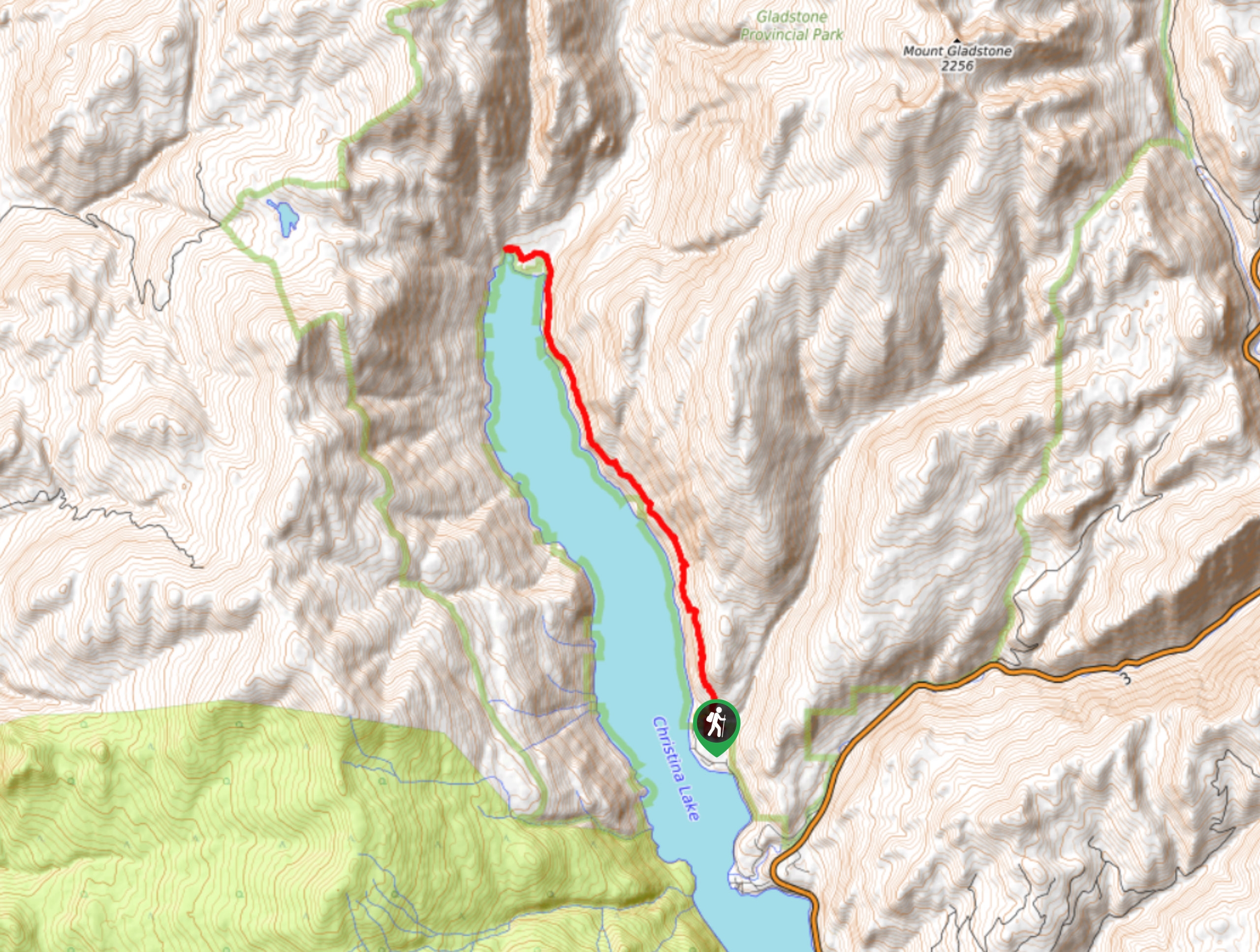
46. Christina Lake Hike
Difficulty
The Christina Lake Hike is a 14.1mi out-and-back route that sets out from… Read More
47. Thanksgiving Mountain
Difficulty
Thanksgiving Mountain is a quick 2.1mi out-and-back hiking route that will take you… Read More
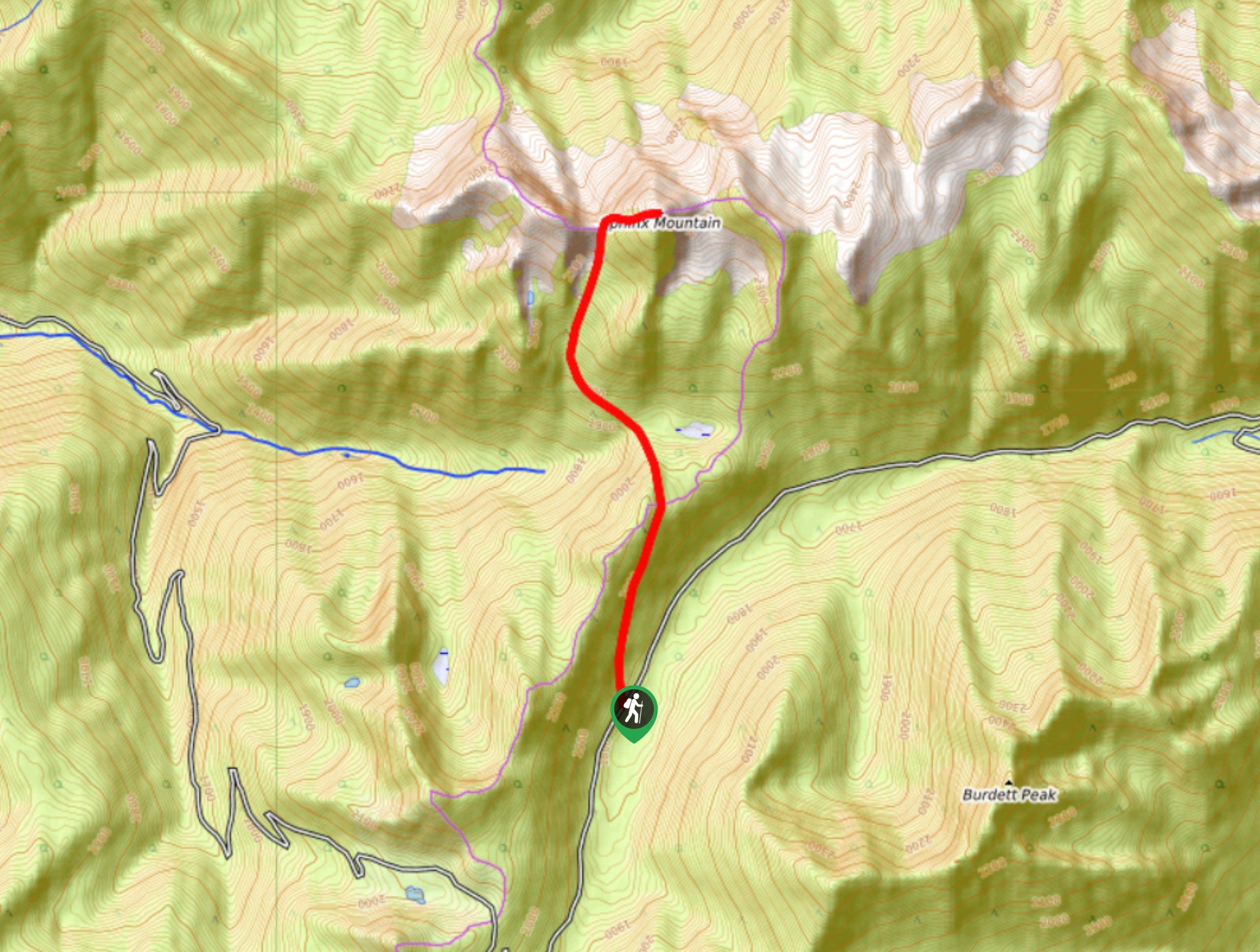
48. Sphinx Mountain Trail
Difficulty
The Sphinx Mountain Trail is a 5.9mi out-and-back hiking route that climbs steeply… Read More
49. Mill Lake Trail
Difficulty
The Mill Lake Trail is an 5.5mi out-and-back hiking route near Nelson, BC,… Read More
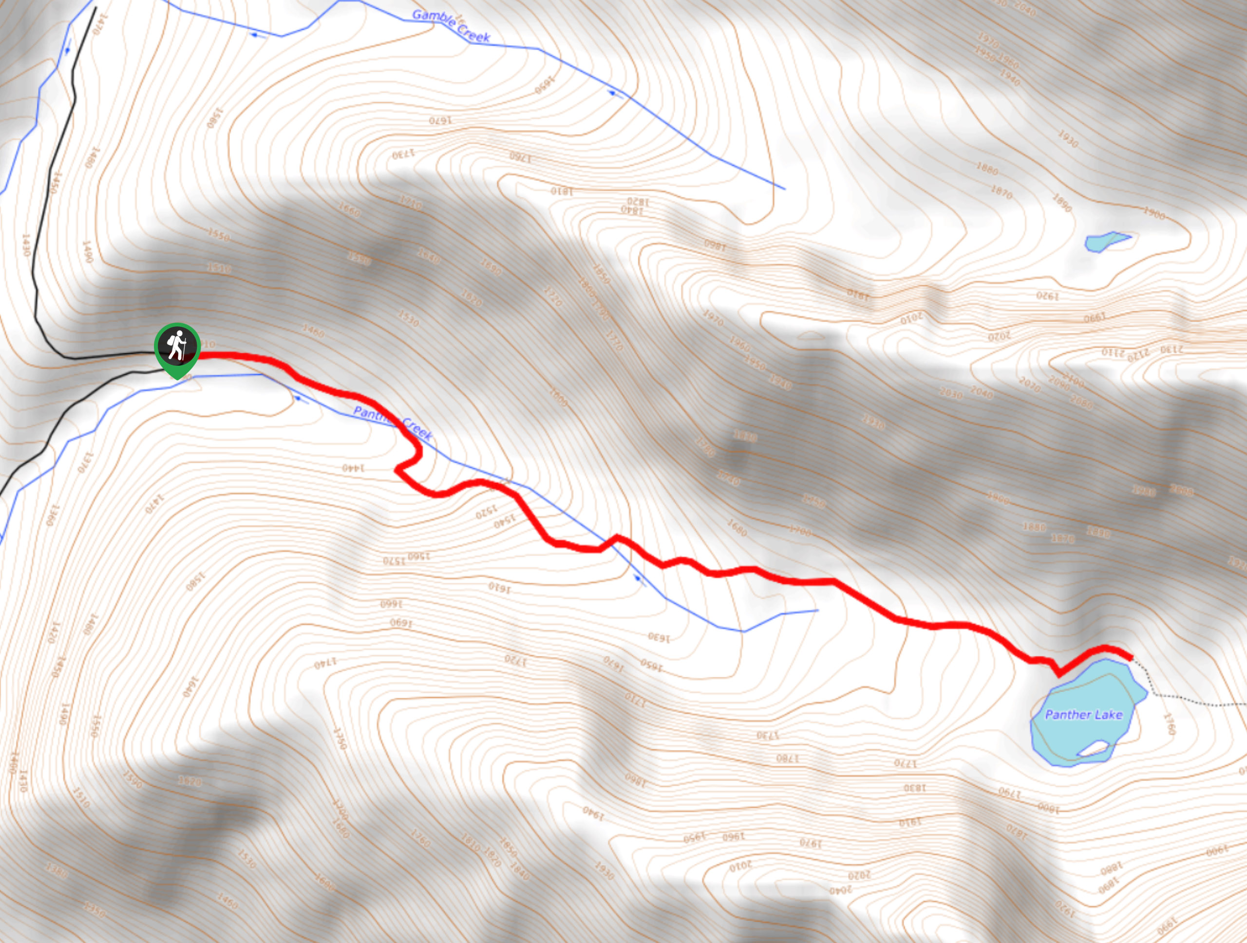
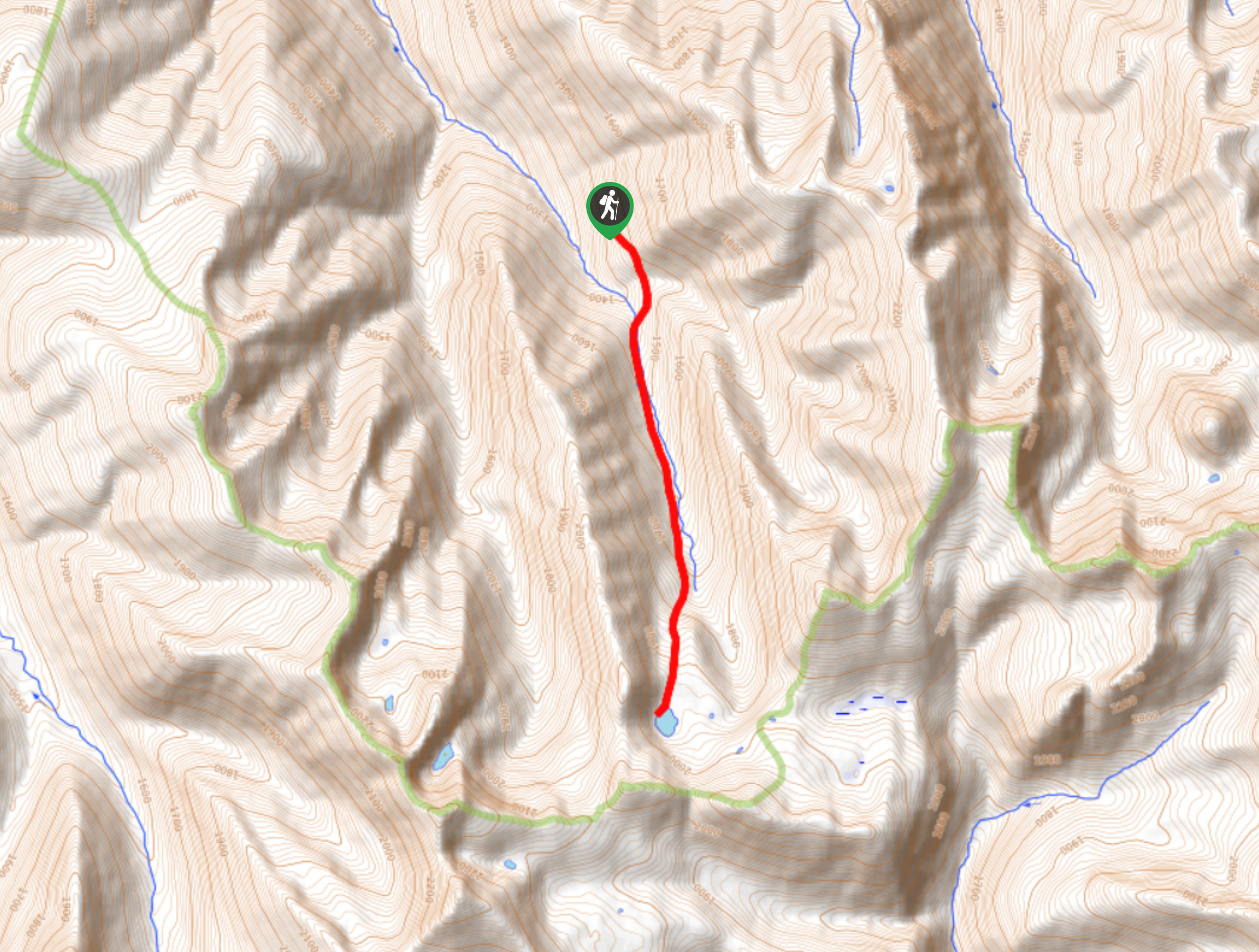
50. Panther Lake Trail
Difficulty
The Panther Lake Trail is a 3.9mi out-and-back hiking route near Salmo, BC,… Read More
51. Emerald Lake Trail
Difficulty
The Emerald Lake Trail is an 5.5mi out-and-back hiking route near Kaslo, BC,… Read More

52. Saddle Mountain Lookout
Difficulty
The Saddle Mountain Lookout trail is an 5.3mi out-and-back hiking route that will… Read More
Are we missing your favourite hike?
Tell us! If you've got photos, a GPS track and know the hike, we'd love to share your favourite hike with the rest of the 10Adventures community.