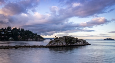
hikes in Mount Revelstoke National Park
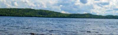
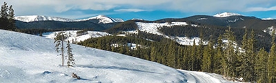
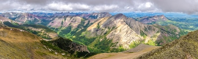
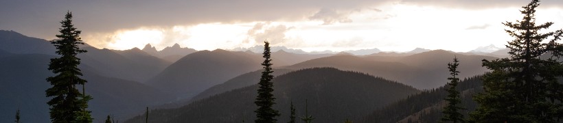
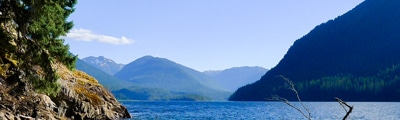
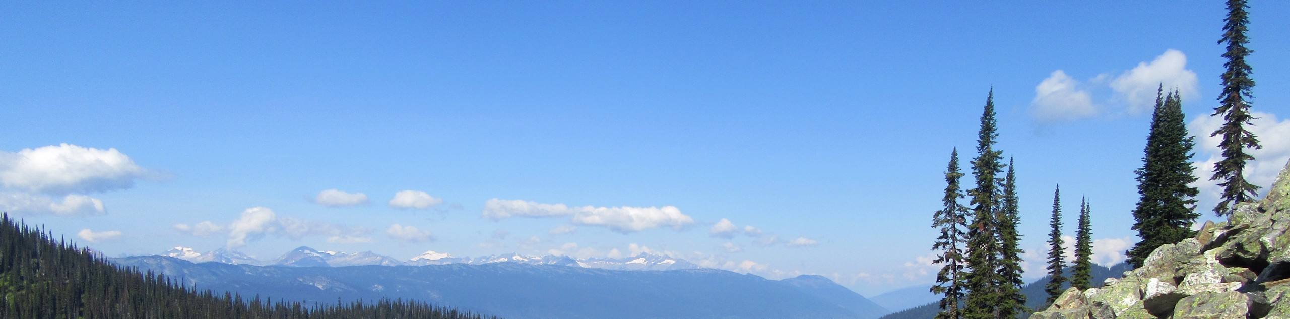
Although Mount Revelstoke National Park is only 260km², its network of trails is fairly extensive and provides a great vantage point over the beautiful backcountry of the Columbia Mountains, as well as the picturesque Columbia River Valley. Due to the small size of the park, this guide to hiking in Mount Revelstoke National Park has been expanded to include trails in and around the city of Revelstoke, creating even more opportunity to get out and explore the outdoors.
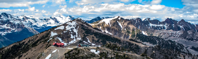
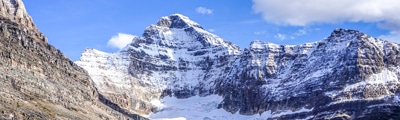
Established in 1914 as a national park under the initiative of local residents, Mount Revelstoke has gradually evolved over time. From the creation of its first summit trail in 1910 to the installation of the Meadows in the Sky Parkway that was completed in 1927 and all of the infrastructure and skiing improvements that have since followed, the park has become an amazing jumping off point for a number of activities in the area. With easy access to the top of the mountain and a network of trails that spread throughout the backcountry, Mount Revelstoke National Park is one of the most accessible parks of those along the Canadian Pacific Railway corridor, offering countless opportunities to explore the scenic terrain of the area.
The 10 Greatest Hikes In Mount Revelstoke National Park
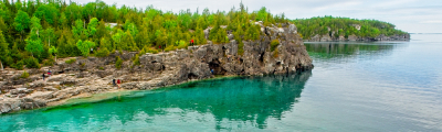
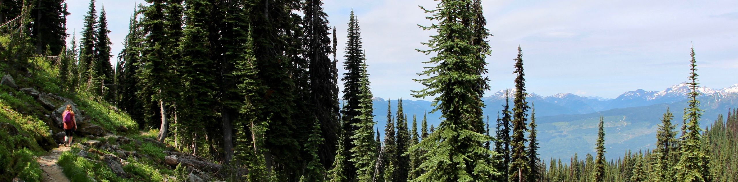
The stunning mountain terrain and lush valley floor of the Revelstoke area make it the perfect place to get out and explore some truly breathtaking settings. Some highlights of the area include hiking up the steep trails along the slopes of Mount Revelstoke itself, trekking through gorgeous alpine valleys, exploring dense forests of ancient cedar and hemlock trees, and taking on challenging summits that will test your skill and endurance in order to reach picturesque viewpoints. Whether you are a beginner hiker looking for an easy walk near the edge of the city or a seasoned adventurer aiming to bag a new peak, the varied landscape and relatively easy access to a large number of trails means that you are sure to find a hiking route that perfectly matches your needs and level of experience. We’ve put together an amazing list of hikes in Mount Revelstoke National Park to take some of the guesswork out of planning your next adventure. Check them out here:
- Mount Begbie Trail: This hike is a tough adventure just south of Revelstoke that will see you climb sharply uphill to reach a campsite. This scenic location offers amazing views overlooking the valley and surrounding mountains, really painting a picture of the natural beauty of the area.
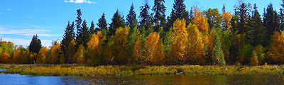
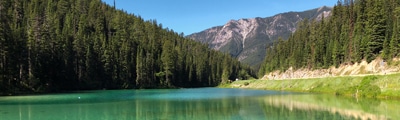
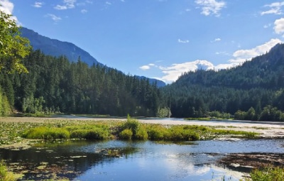
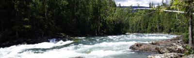
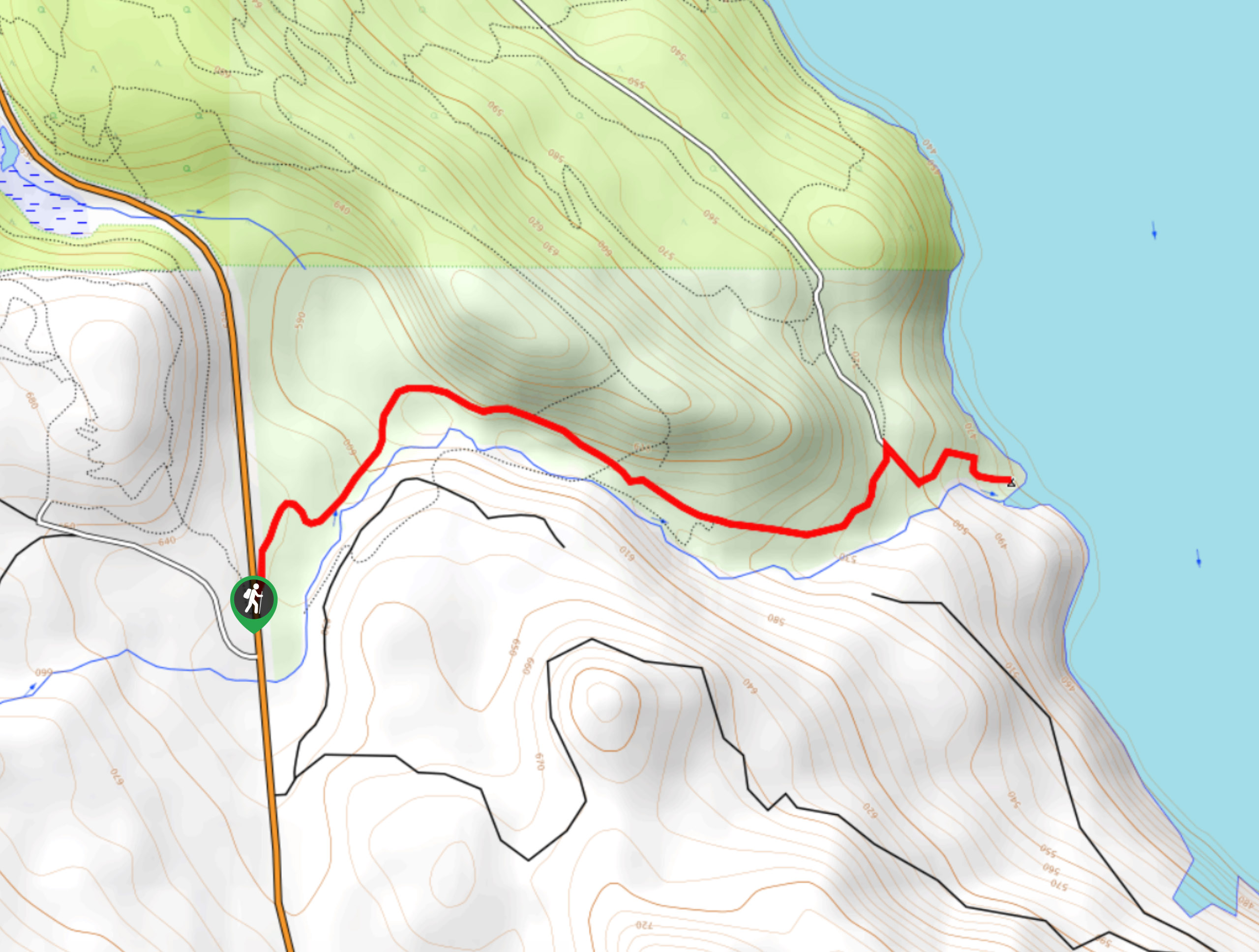
- Begbie Falls: The Begbie Falls hike follows a heavily forested trail that will take you along the winding banks of Begbie Creek to a beautiful waterfall. This route is perfectly suited for hikers of almost any skill level, as it features easy to navigate trails with little elevation gain and the added bonus of being able to spend some time at the beach.
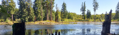
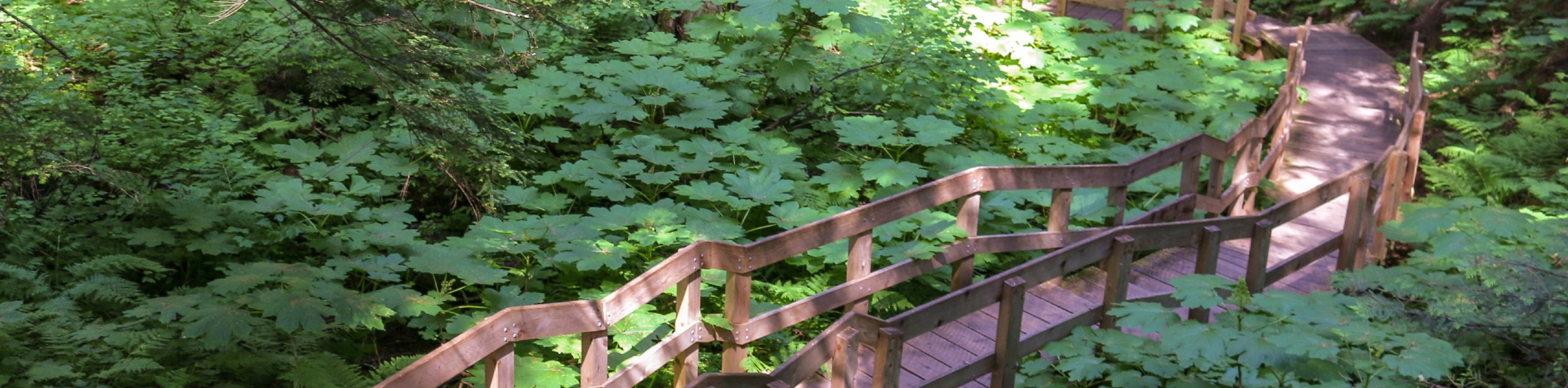
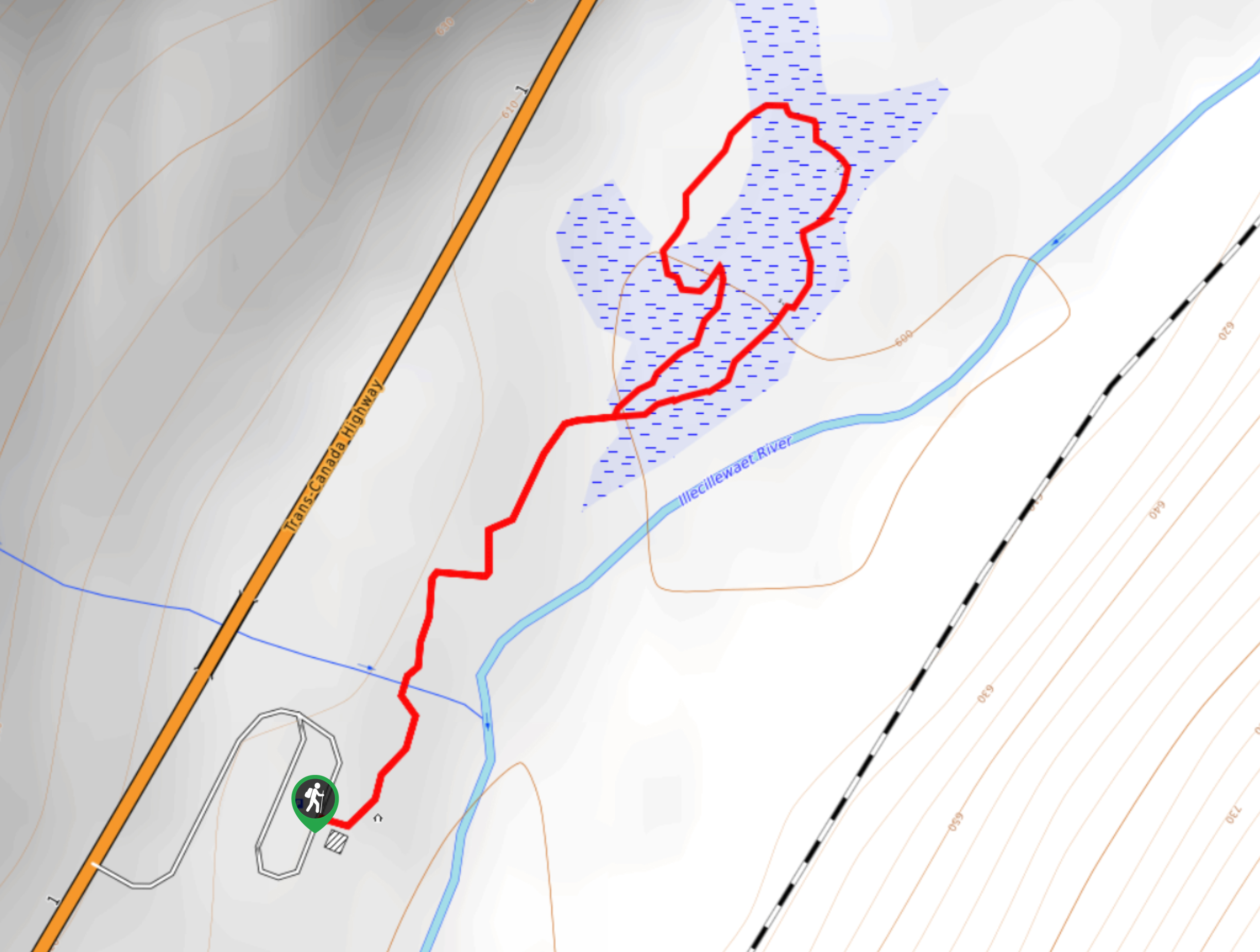
- Giant Cedars Boardwalk Trail: This hike may be short, but it is an educational experience that will allow you to get up close and personal with some mammoth cedar trees, while learning about the local plant and animal life from a series of informative signs. This is a great adventure for families with kids.
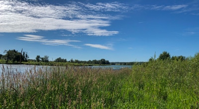
- Skunk Cabbage Trail: The Skunk Cabbage name is more pleasant than the name would suggest, as it traverses a boardwalk through a scenic stretch of wetland terrain. Here, you can learn about the local plant life from a number of educational signs, making for a fun and informative excursion that the entire family will love.
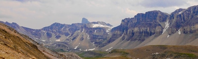
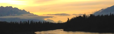
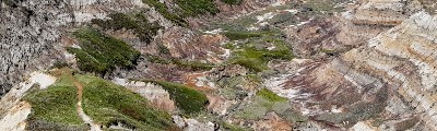
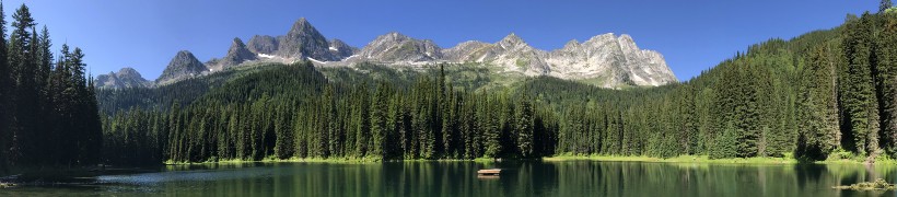
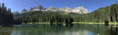
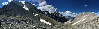
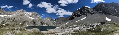
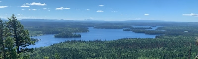
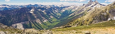
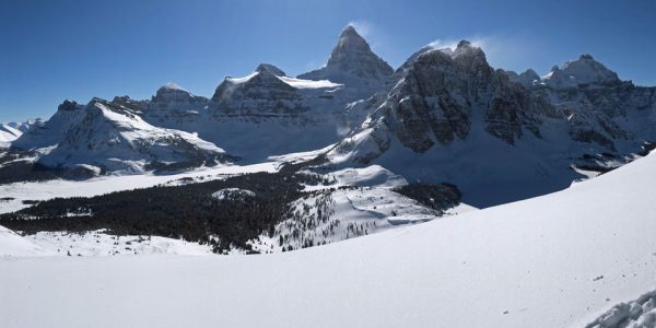
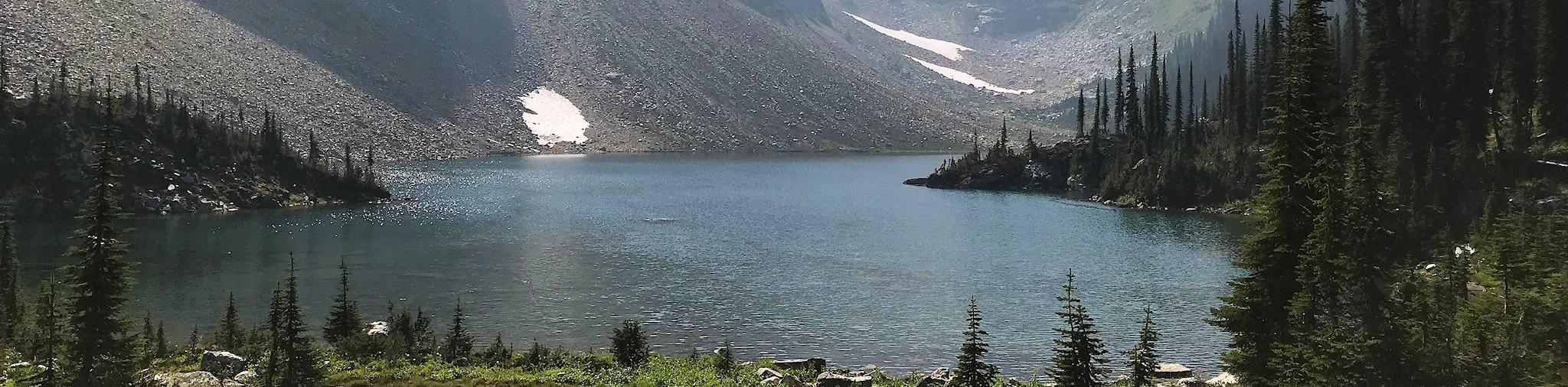
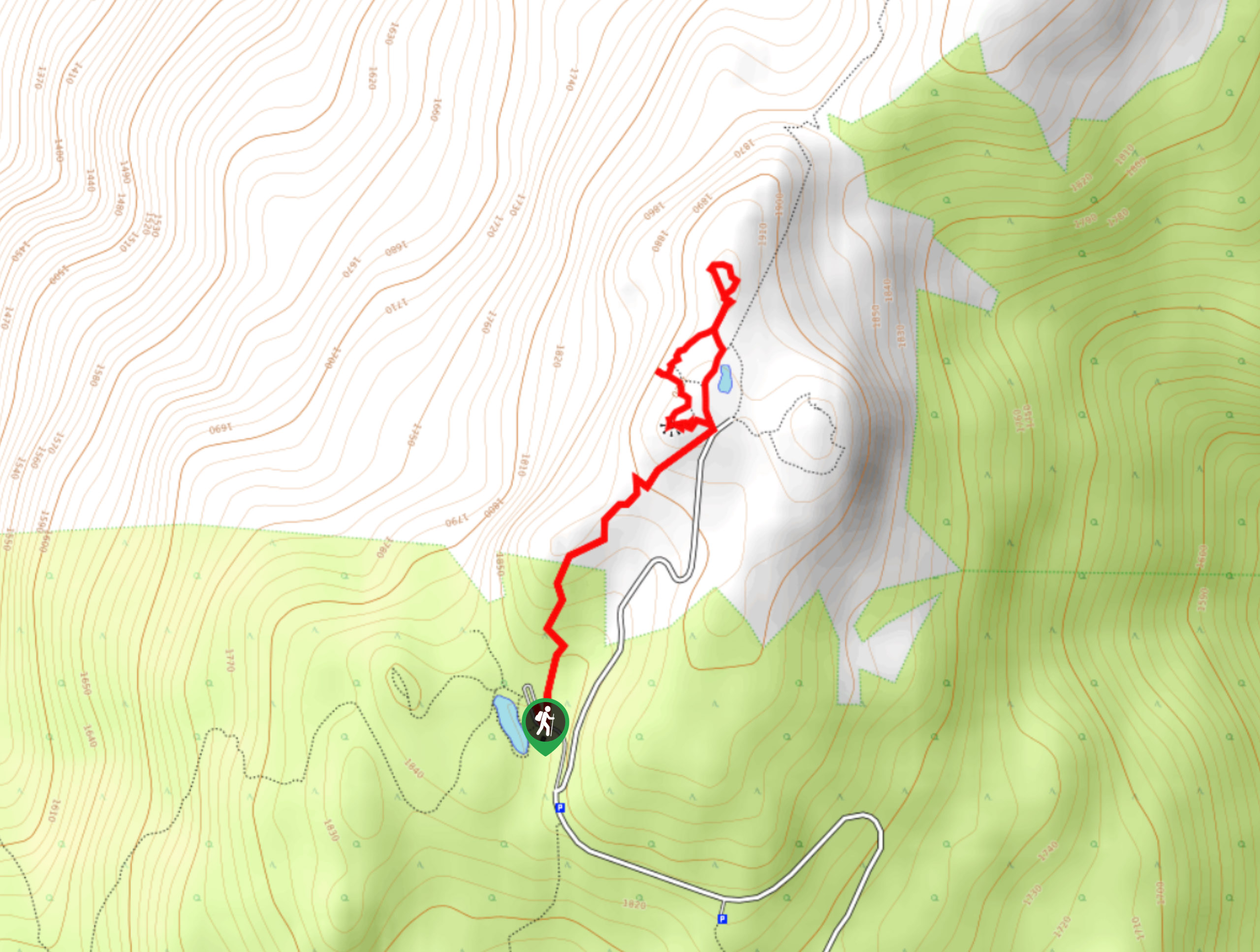
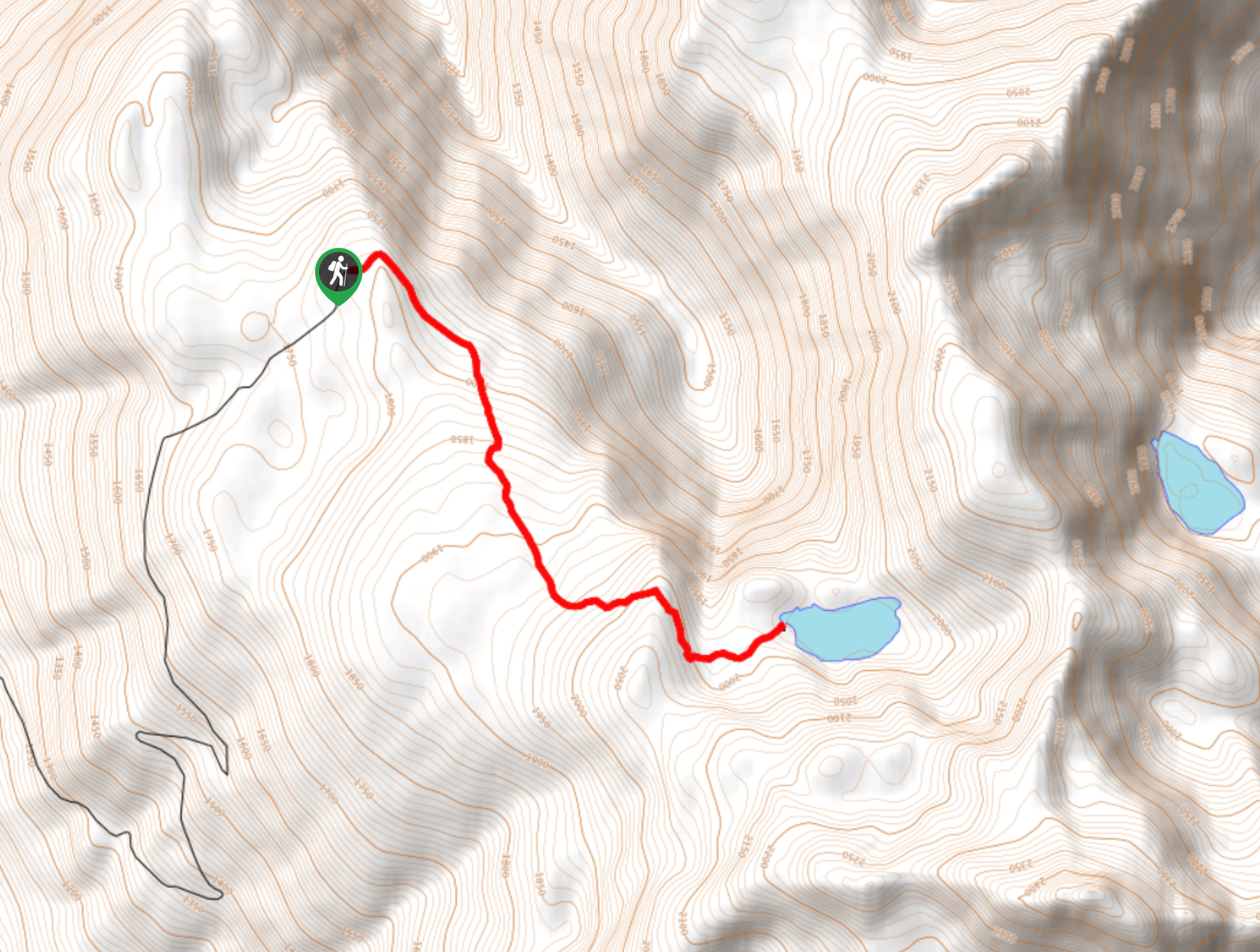
- Eva Lake Trail: This lengthy trail in Mount Revelstoke National Park will take you into the backcountry to visit a series of scenic lakes. While out on the trail, you will experience some amazing views of the surrounding Columbia Mountains, as you traverse the rugged terrain that characterizes this part of the park. Camping next to the lake is also an option if you are looking to spend the night in the mountains.
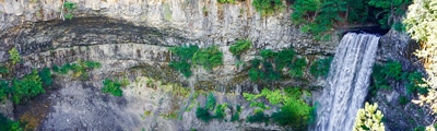
- Broken Bridge Trail: Hiking this short trail will see you traverse the forested slopes of a mountain to visit the site of a charming waterfall. Located next to an old broken bridge, the waterfall and surrounding terrain create a magical atmosphere within the forest that will make every hiker in your party feel like an experienced adventurer.
- Boulder Mountain Lookout: This quick, forested route may not seem like it would produce any spectacular views based on the dense cover of the forest; however, the route opens up onto a rocky bluff where you will have an awesome sightline towards Mount Mackenzie. This is a fantastic route that the whole family is sure to love.
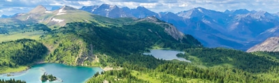
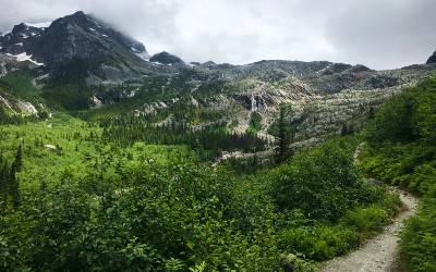
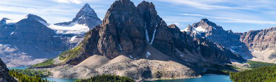
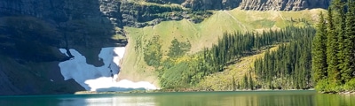
- Jade Lakes Trail: The Jade Lakes Trail is a lengthy out-and-back route that will take you from the summit of Mount Revelstoke to a picturesque lakeside setting. This hike is as much about the journey as it is the destination, as you will pass through a variety of terrain that includes beautiful forests and stunning alpine meadows.
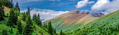
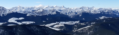
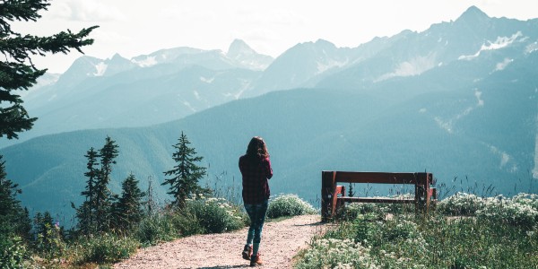
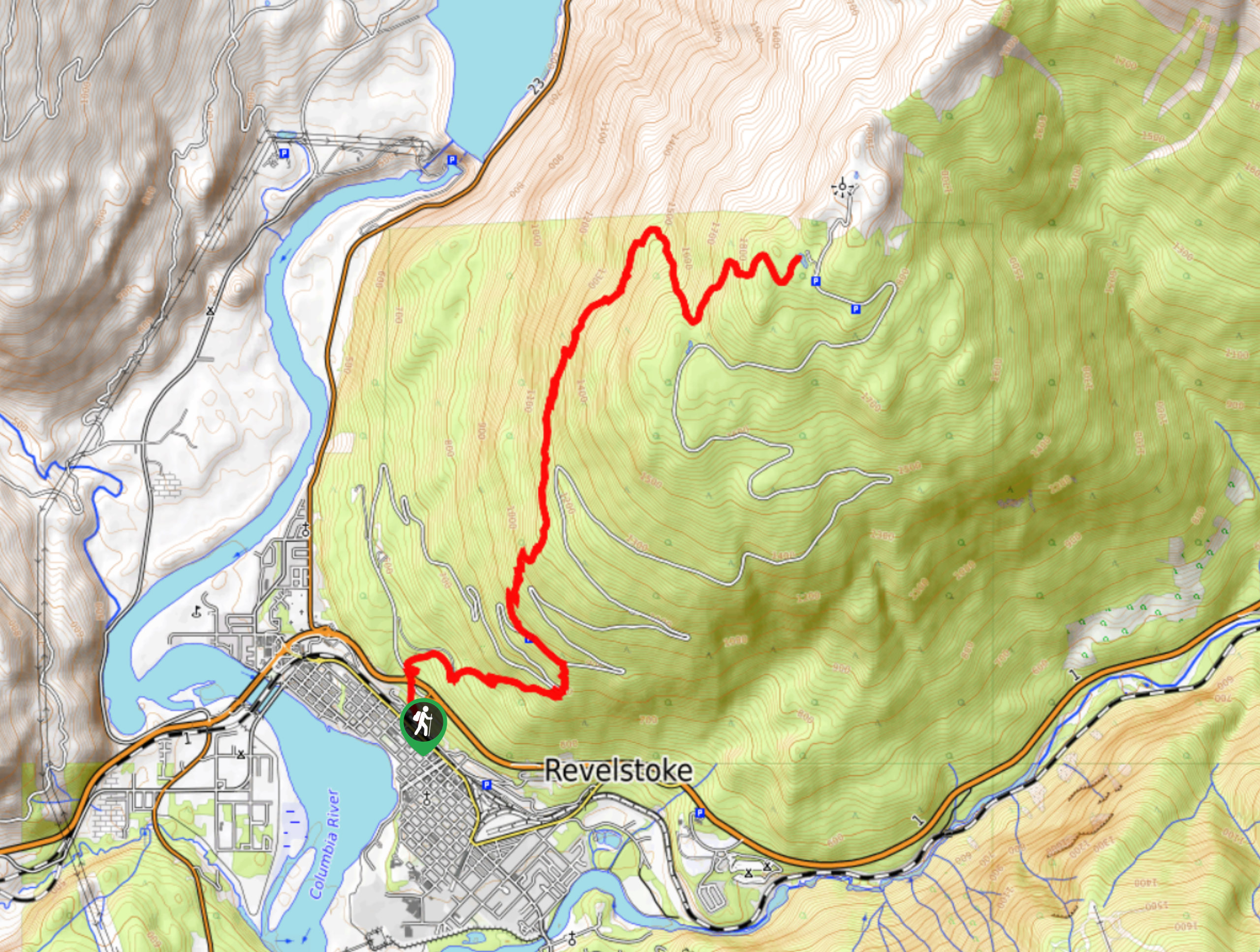
- Summit Trail: This hiking route is a difficult adventure that will lead you all the way up the slopes of Mount Revelstoke to reach the summit. While out on the trail, you will pass through lovely forests, peaceful meadows, and experience stunning views overlooking the valley and nearby mountains from the summit viewpoint.
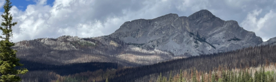
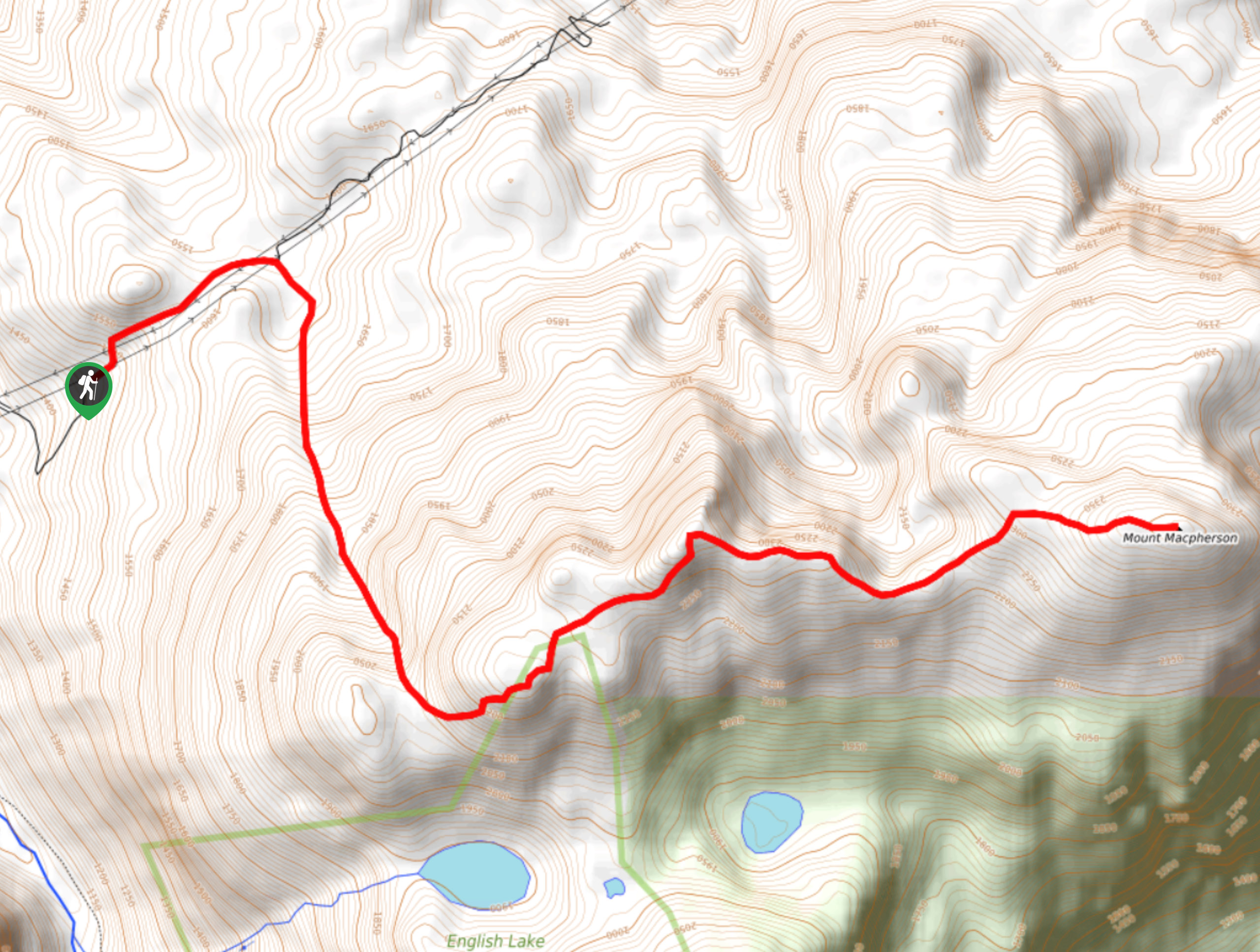
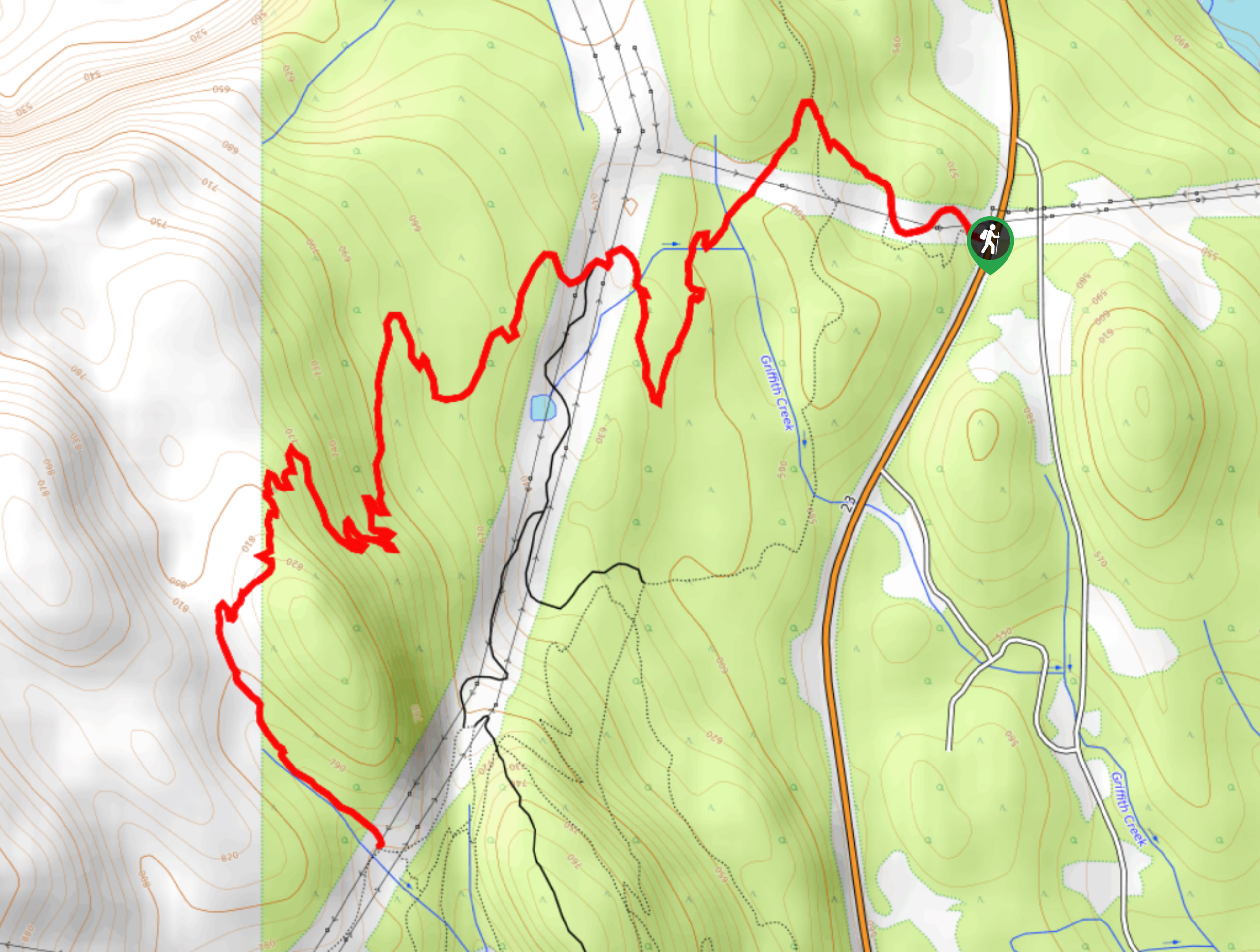
- Mount MacPherson: The Mount MacPherson Trail is another challenging adventure that will see you climb several false summits before arriving at a summit viewpoint overlooking the valley. This hike should only be attempted by experienced hikers due to the technical nature of the trail; however, the views from the top of the trail are something that you won’t want to miss.
When is the Best Time to Hike in Mount Revelstoke National Park?
With easy access to the summit of Mount Revelstoke via the Meadows in the Sky Parkway, hiking in at least a small portion of the park can be done year-round. For those that are looking for more of a full experience rather than a quick walk at the summit, the best time of year to explore the backcountry trails in and around Mount Revelstoke National Park is in the June to October window. This should be sufficient enough for the majority of the snow on the trails to melt, allowing you to safely explore the peaks and alpine meadows that characterize the landscape.
Other Outdoor Activities in Mount Revelstoke National Park
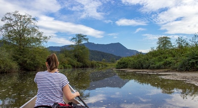
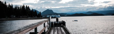
Mount Revelstoke National Park and the area surrounding the city offer access to more than just amazing hiking trails. The area also features a number of other activities including mountain biking, fishing, paragliding, and mountaineering. While ski jumping made a name for itself in Revelstoke with help from a number of adventurous Norwegian settlers in the area, these activities have since ceased on the mountain; however, anyone looking to downhill ski can do so at the Revelstoke Mountain Resort just south of the city.
Frequently Asked Questions About Mount Revelstoke National Park
What is Mount Revelstoke National Park Known For?
Mount Revelstoke National Park is known for its easy access to the summit viewpoint via the Meadows in the Sky Parkway and its breathtaking scenery of the surrounding mountain ranges and alpine meadows that are blanketed in wildflowers during the summer months.
What animals live in Mount Revelstoke National Park?
Mount Revelstoke National Park is home to a wide range of animal species, including black bears, grizzly bears, caribou, wolverines, mountain goats, moose, and many many others.
What mountain range does Mount Revelstoke belong to?
Mount Revelstoke can be found in the Selkirk Mountains, a sub-range of the Columbia Mountains that spread throughout this area and include the neighbouring Purcell, Cariboo, and Monashee ranges.
Read MoreThe best hikes in Mount Revelstoke National Park
01. Giant Cedars Boardwalk Trail
Difficulty
The Giant Cedars Boardwalk Trail is a short but awesome hiking loop in Mount Revelstoke… Read More
02. Skunk Cabbage Trail
Difficulty
Hiking along the Skunk Cabbage Trail in Mount Revelstoke National Park is a short but… Read More
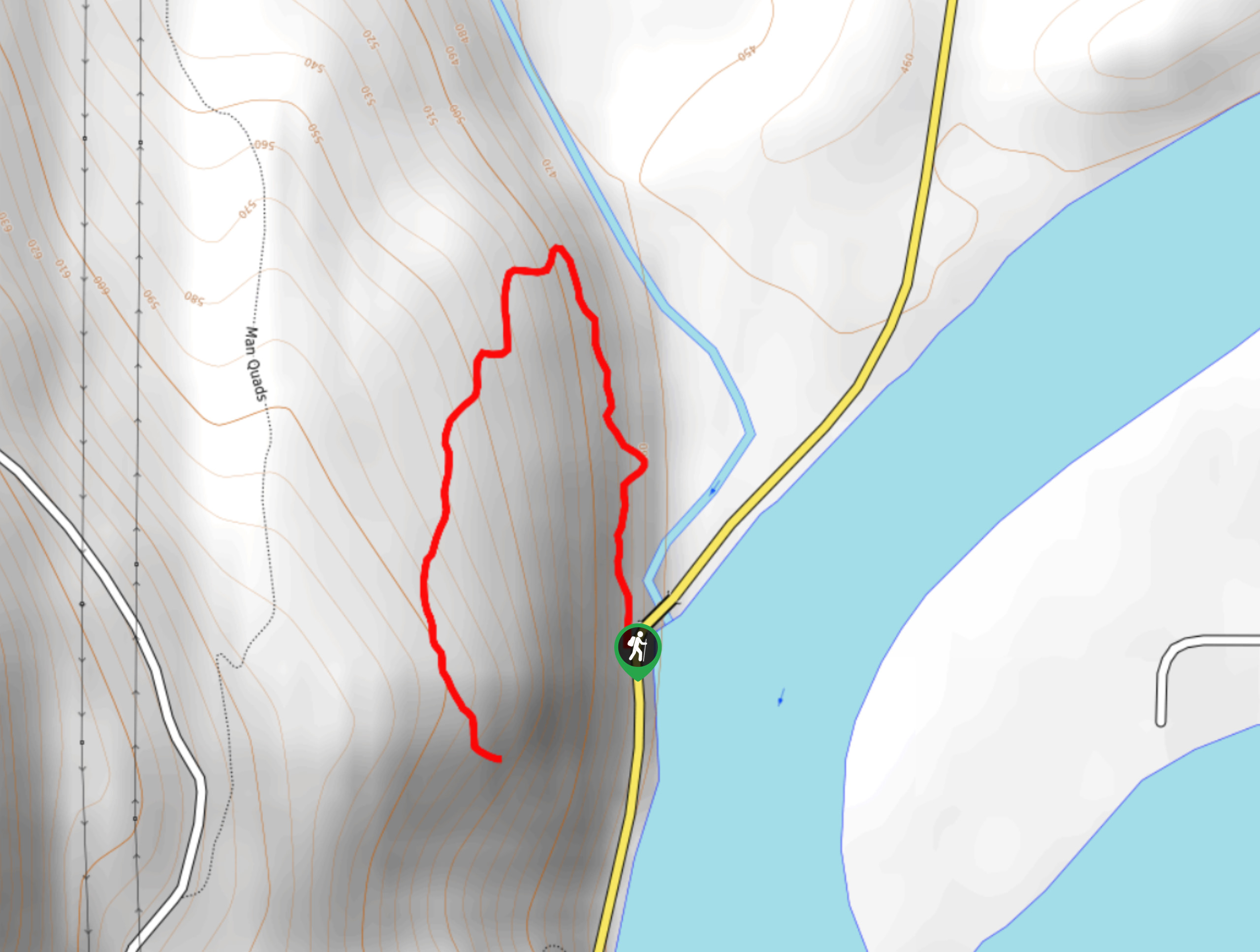
03. Begbie Falls
Difficulty
Begbie Falls is a densely forested 3.1mi hiking route near Revelstoke, BC that… Read More
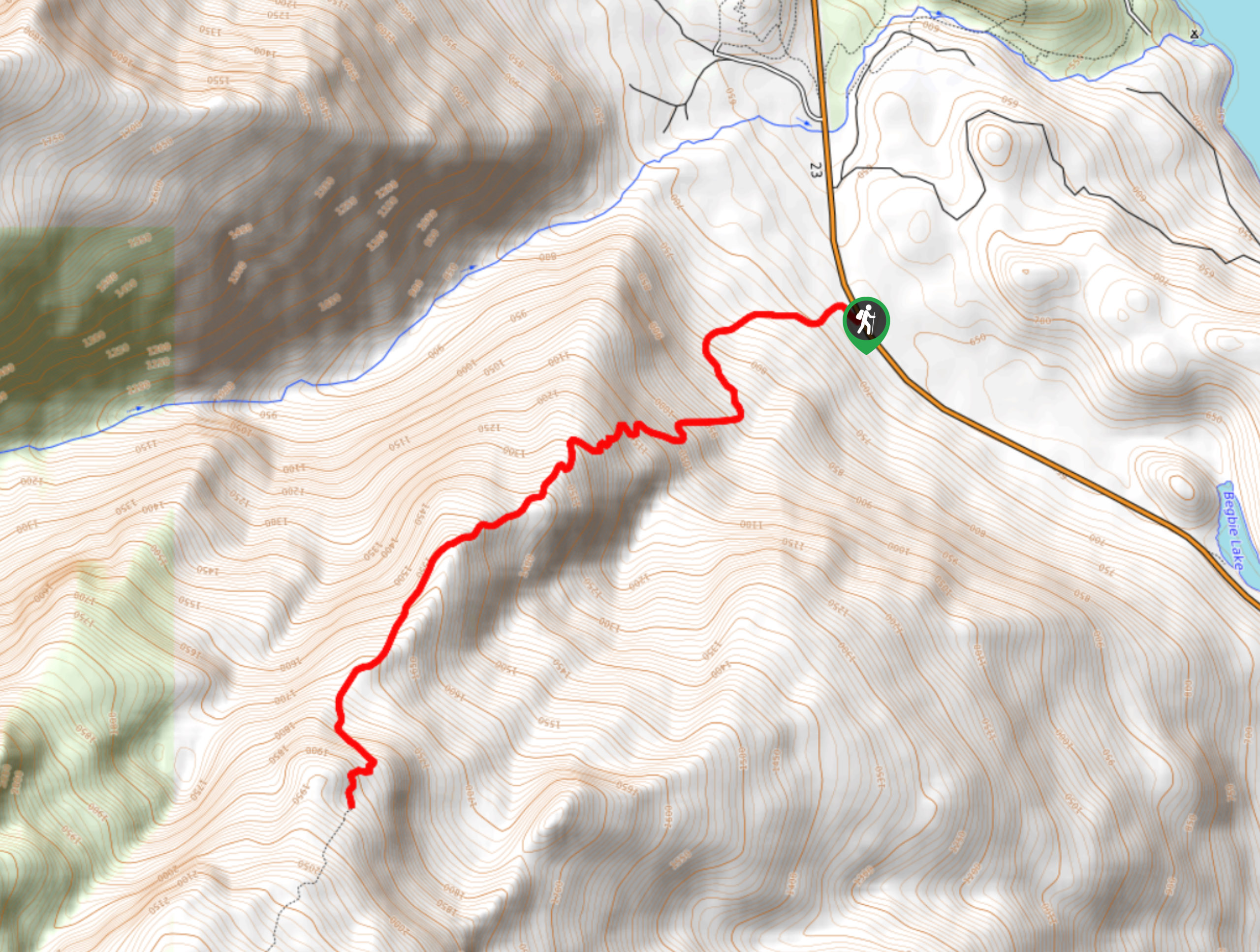
04. Mount Begbie Trail
Difficulty
The Mount Begbie Trail is a challenging out-and-back hiking route that can be found just… Read More
05. Summit Trail
Difficulty
The Summit Trail is a challenging 11.9mi out-and-back hiking route in Mount Revelstoke… Read More
06. Jade Lakes Trail
Difficulty
The Jade Lakes Trail is a 12.5mi out-and-back hiking route that sets out… Read More
07. Broken Bridge Trail
Difficulty
Hiking along the Broken Bridge Trail is a quick adventure in Mount Revelstoke National Park… Read More
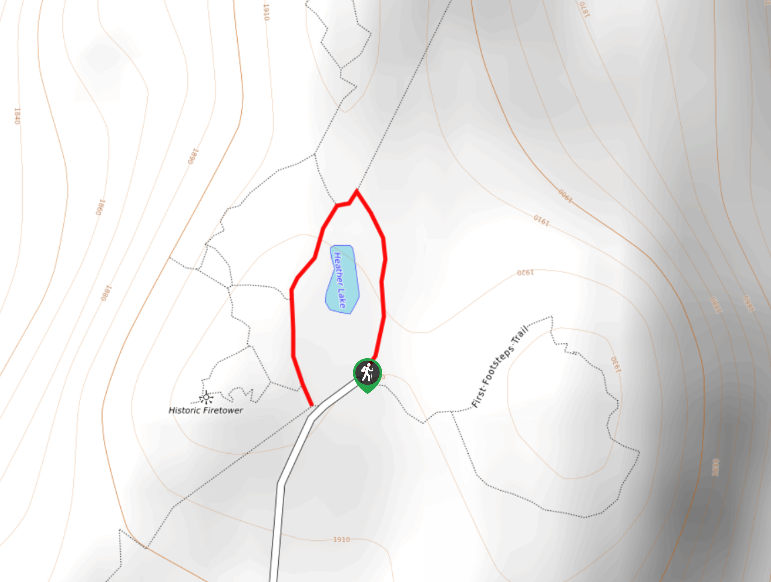
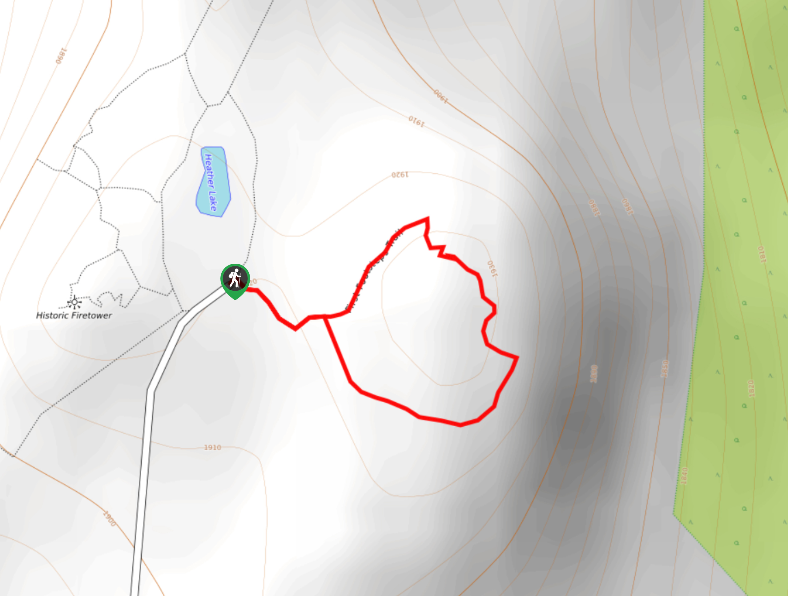
08. Heather Lake Loop
Difficulty
The Heather Lake Loop is a 0.2mi hiking trail at the summit of… Read More
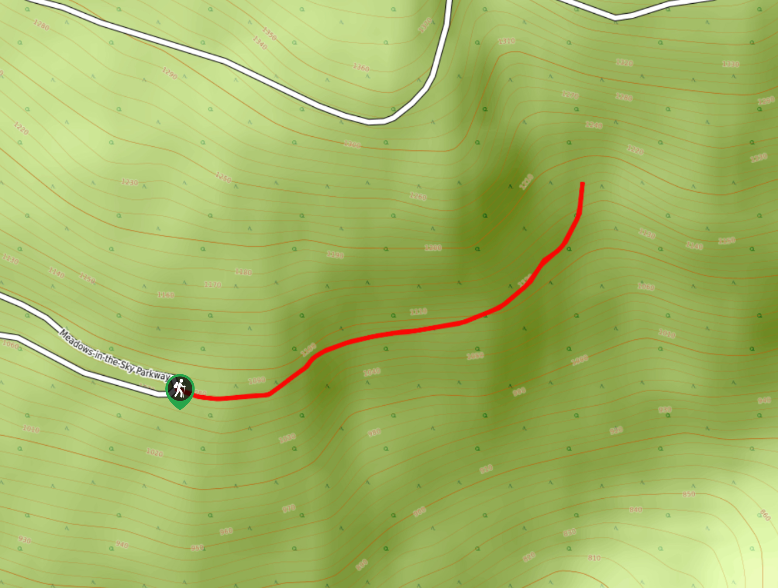
09. 23 Connector Trail
Difficulty
The 23 Connector Trail is a short 0.9mi out-and-back hiking route in Mount… Read More
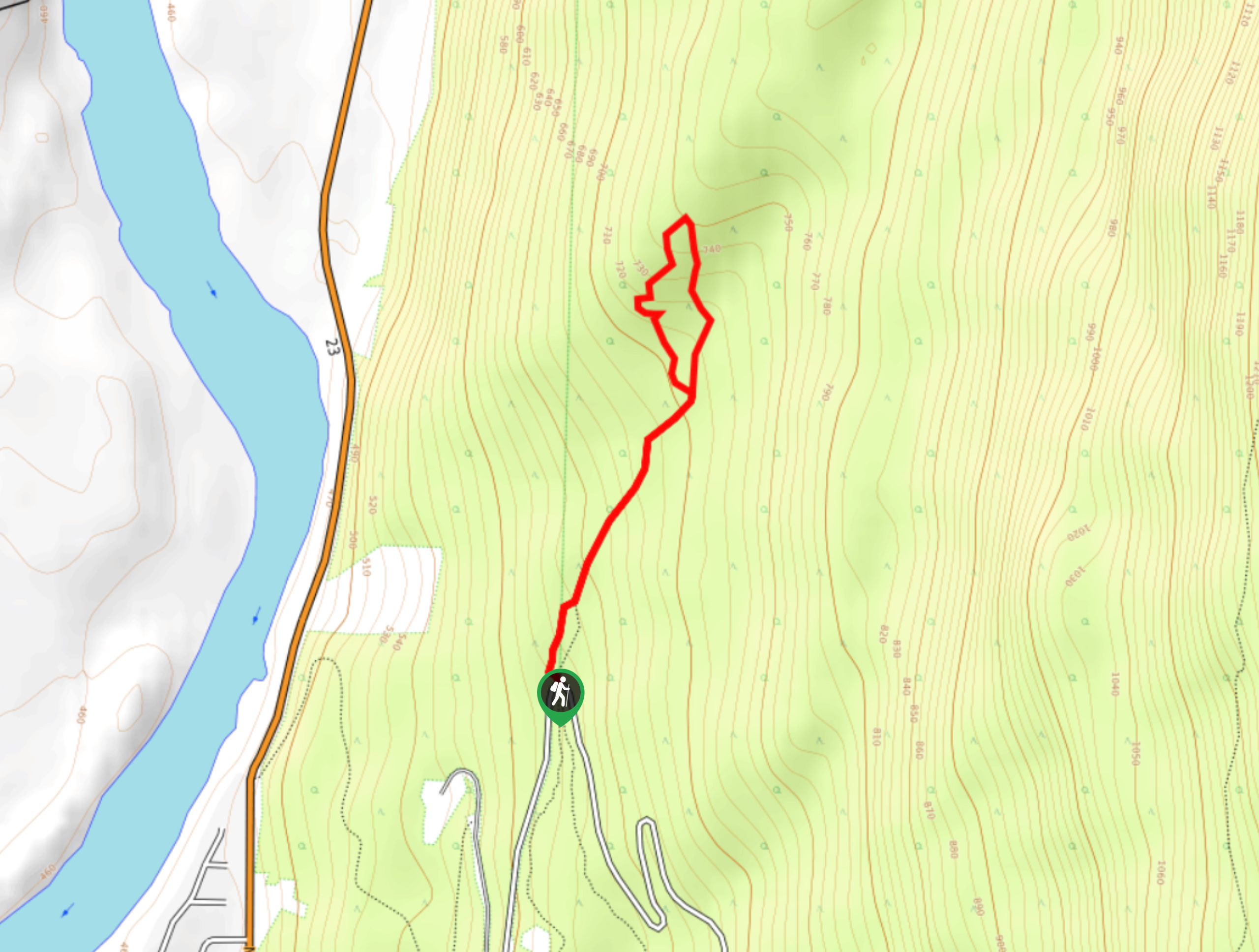
10. Eagle Knoll Trail
Difficulty
The Eagle Knoll Trail is a 1.2mi out-and-back hiking route in Mount Revelstoke… Read More
Yes, there are more than 10
Mount Revelstoke National Park is so beautiful that we can not give you only 10 hikes. So here is a list of bonus hikes in Mount Revelstoke National Park that you should take a look at as well
11. Eva Lake Trail
Difficulty
The Eva Lake Trail is a 9.3mi out-and-back hiking route in Mount Revelstoke… Read More
12. Upper Summit Trail
Difficulty
The Upper Summit Trail is a 1.9mi out-and-back hiking route in Mount Revelstoke… Read More
13. Mount McCrae Lake Trail
Difficulty
The Mount McCrae Lake Trail is a 4.2mi out-and-back hiking route that can… Read More
14. Mount MacPherson
Difficulty
The trek up Mount MacPherson is a challenging 9.8mi hiking route that will… Read More
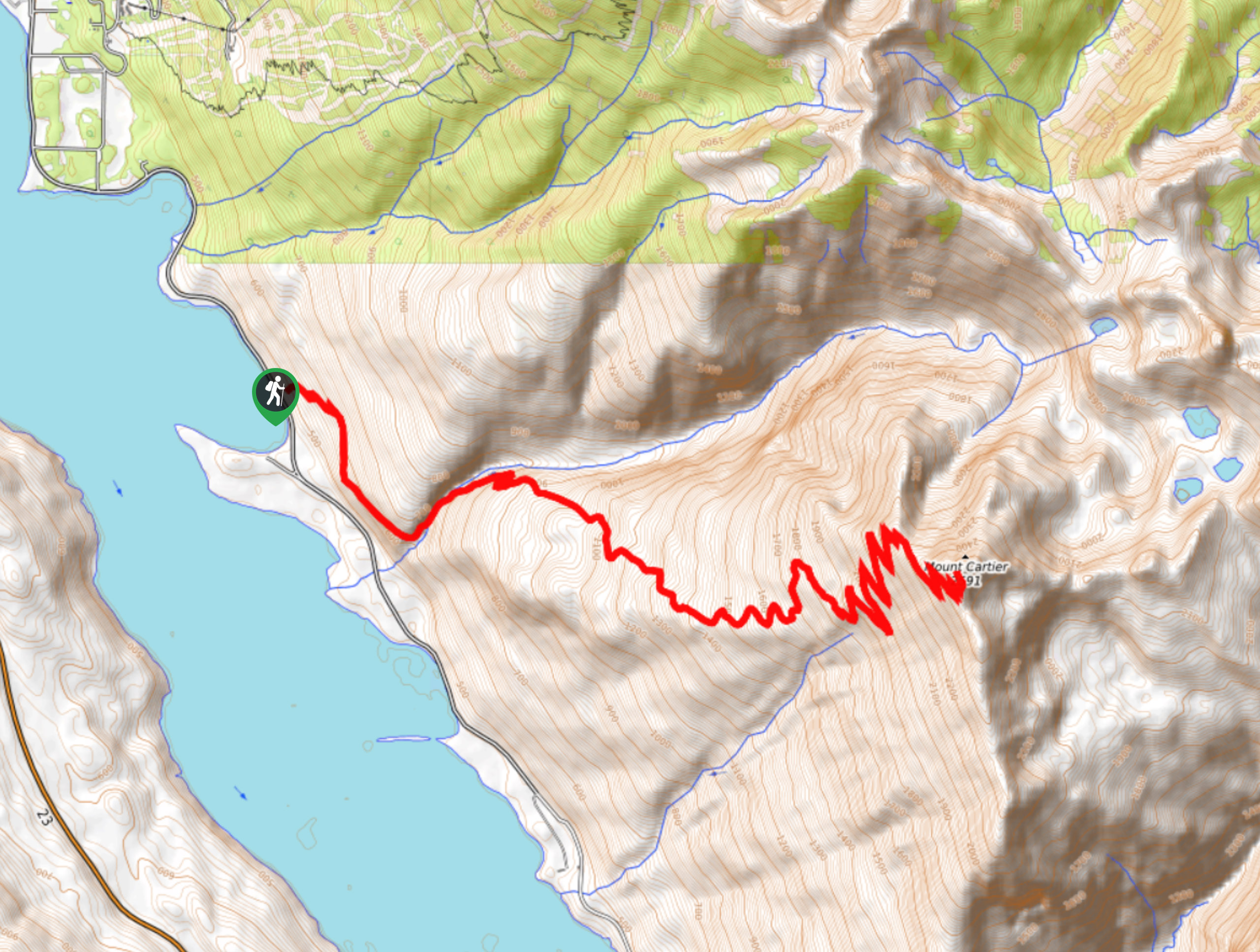
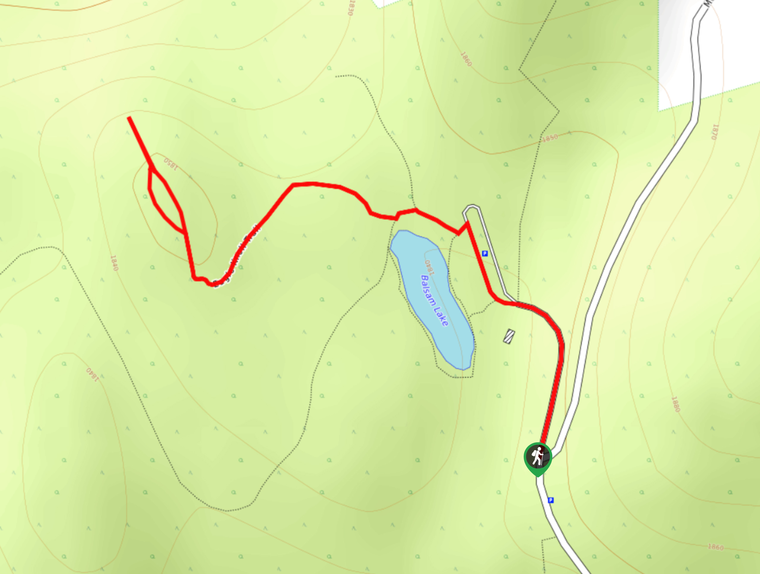
15. Mount Cartier Peak Trail
Difficulty
The Mount Cartier Peak Trail is a challenging 17.9mi out-and-back hiking route near… Read More
16. Boulder Mountain Lookout
Difficulty
The Boulder Mountain Lookout is a quick 1.5mi out-and-back hiking route in Revelstoke… Read More
17. First Footsteps Trail
Difficulty
The First Footsteps Trail is a quick 0.5mi hiking route atop Mount Revelstoke… Read More
18. Inspiration Woods Trail
Difficulty
The Inspiration Woods Trail is a quick 1.9mi lollipop hiking route along the… Read More
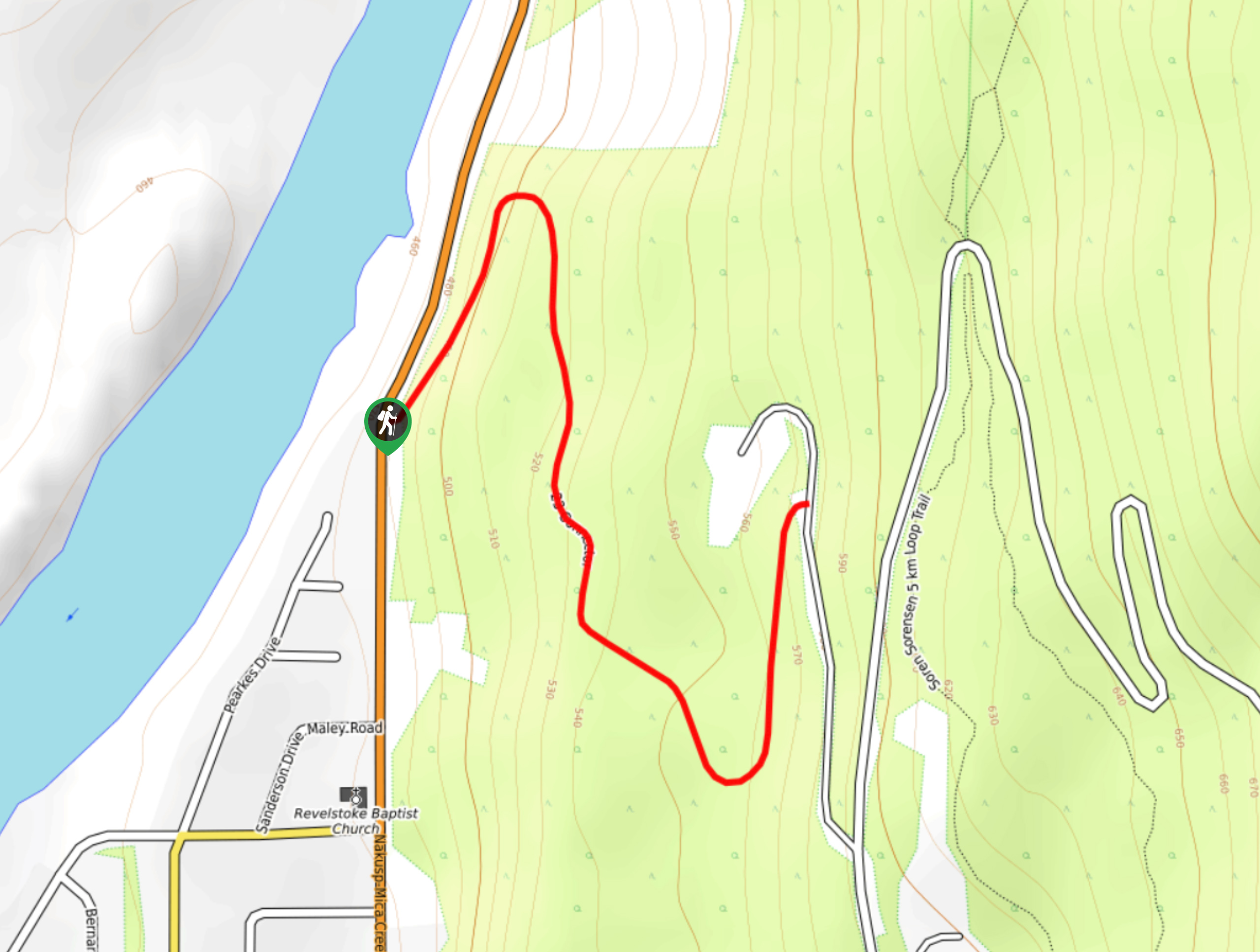
19. Sorenson Trail Loop
Difficulty
The Sorenson Trail Loop is a 3.2mi hiking route through Mount Revelstoke National… Read More
20. Flowdown Trail
Difficulty
The Flowdown Trail is an 7.0mi multi-use trail near Revelstoke, BC, that is… Read More
21. Lindmark Trail
Difficulty
The Lindemark Trail is a 13.7mi long hiking route that climbs up the… Read More
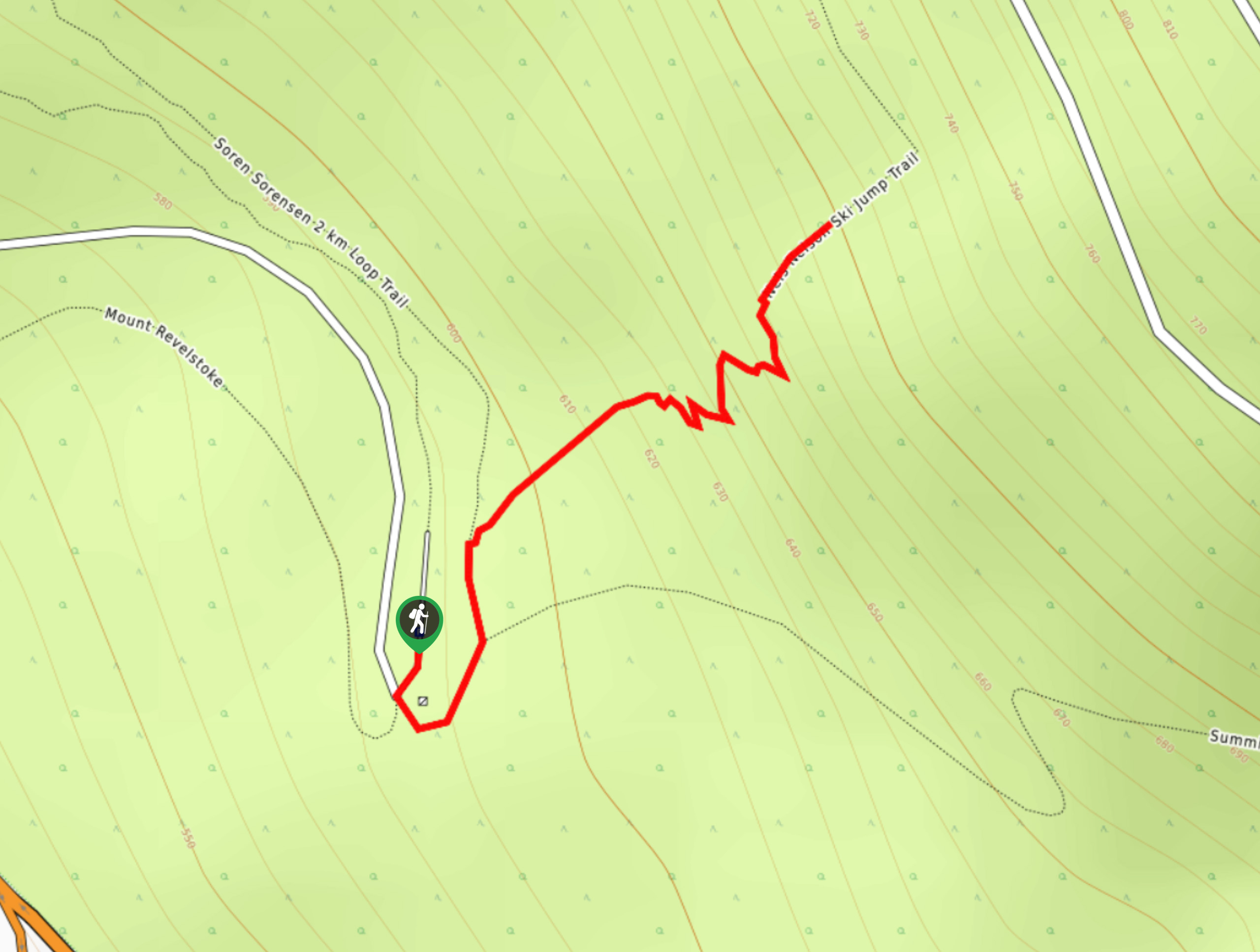
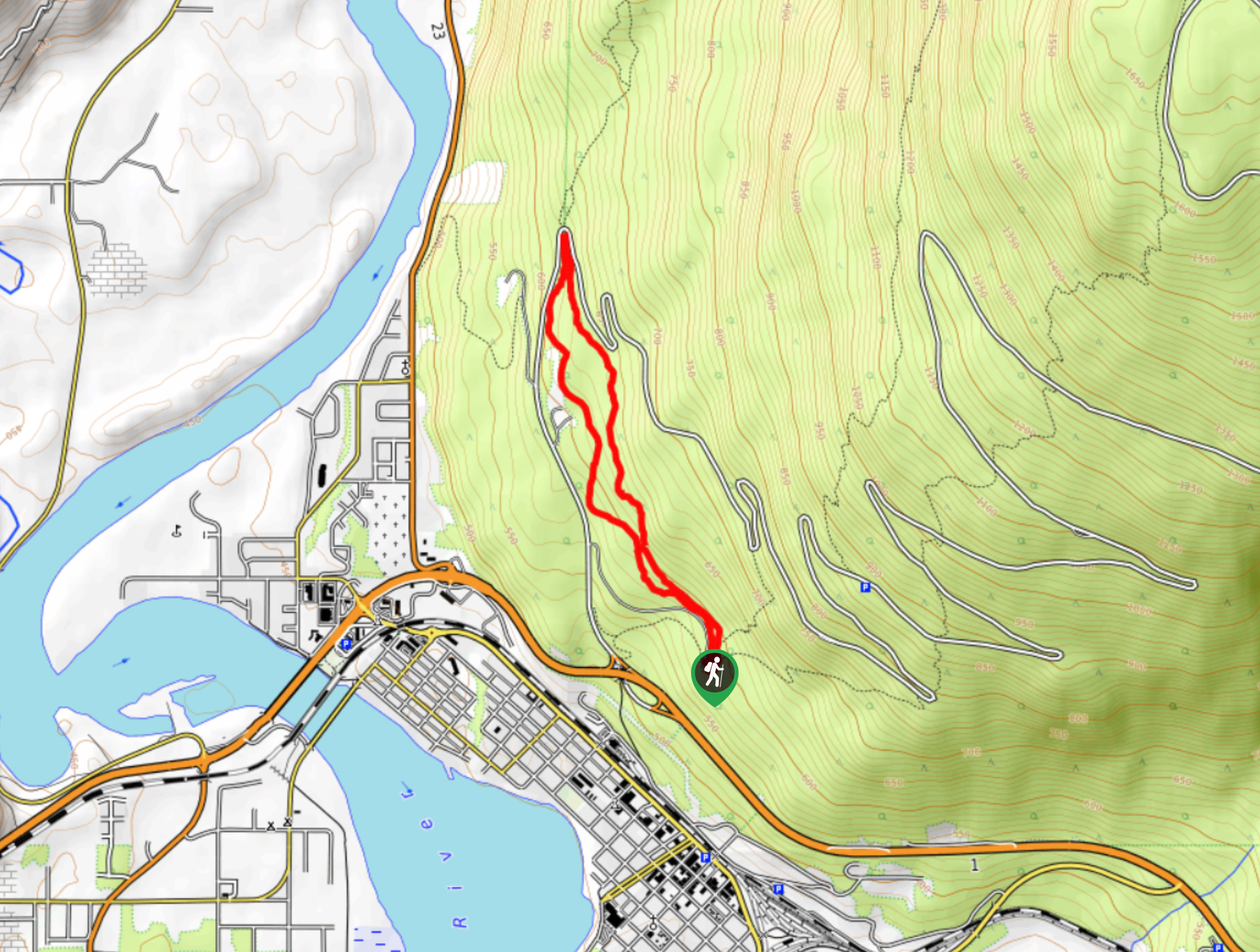
22. Nels Nelson Trail
Difficulty
The Nels Nelson Trail is a 0.7mi hiking route on the lower slopes… Read More
Are we missing your favourite hike?
Tell us! If you've got photos, a GPS track and know the hike, we'd love to share your favourite hike with the rest of the 10Adventures community.