Mount Begbie Trail
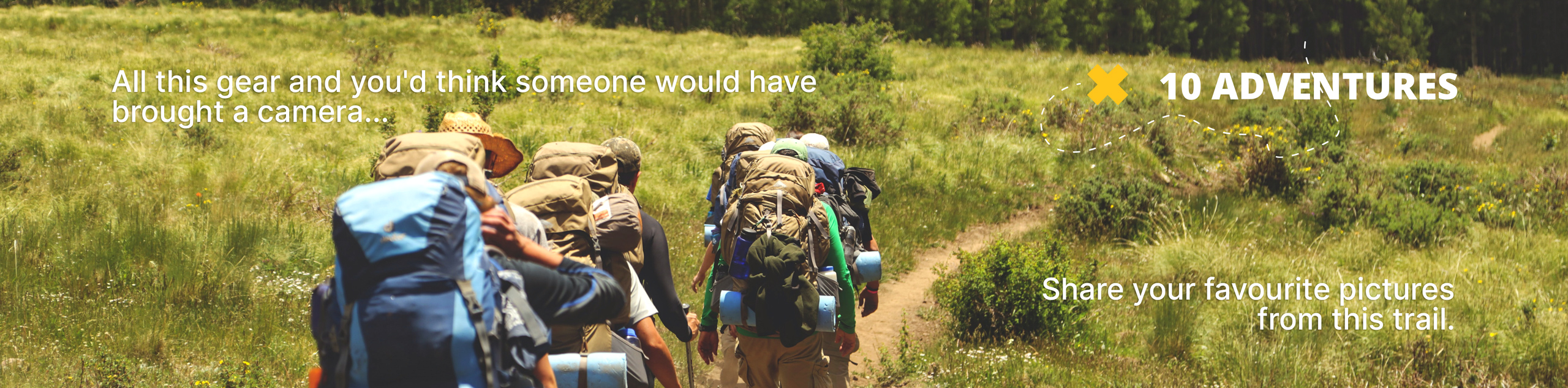
View Photos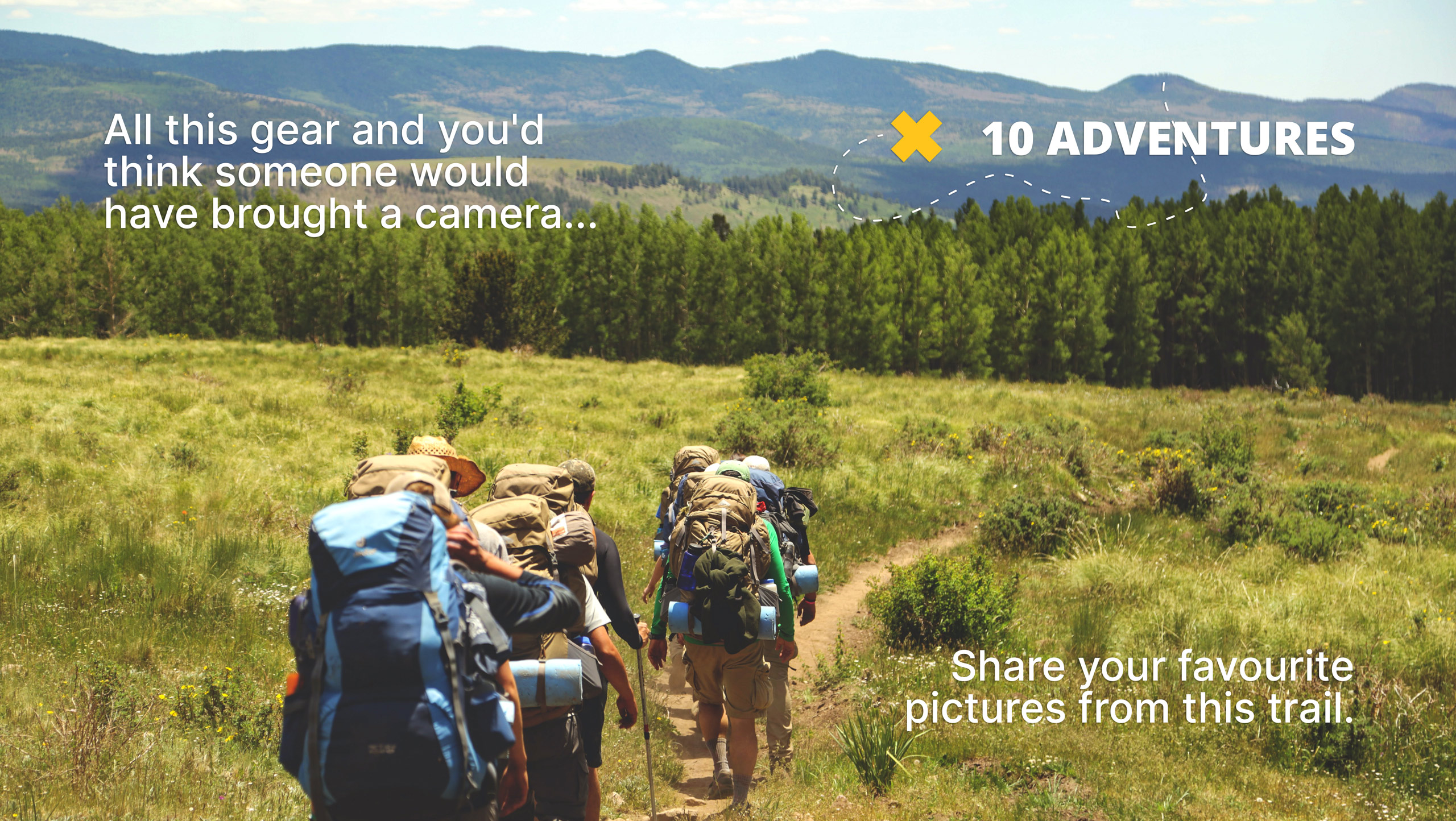
Mount Begbie Trail
Difficulty Rating:
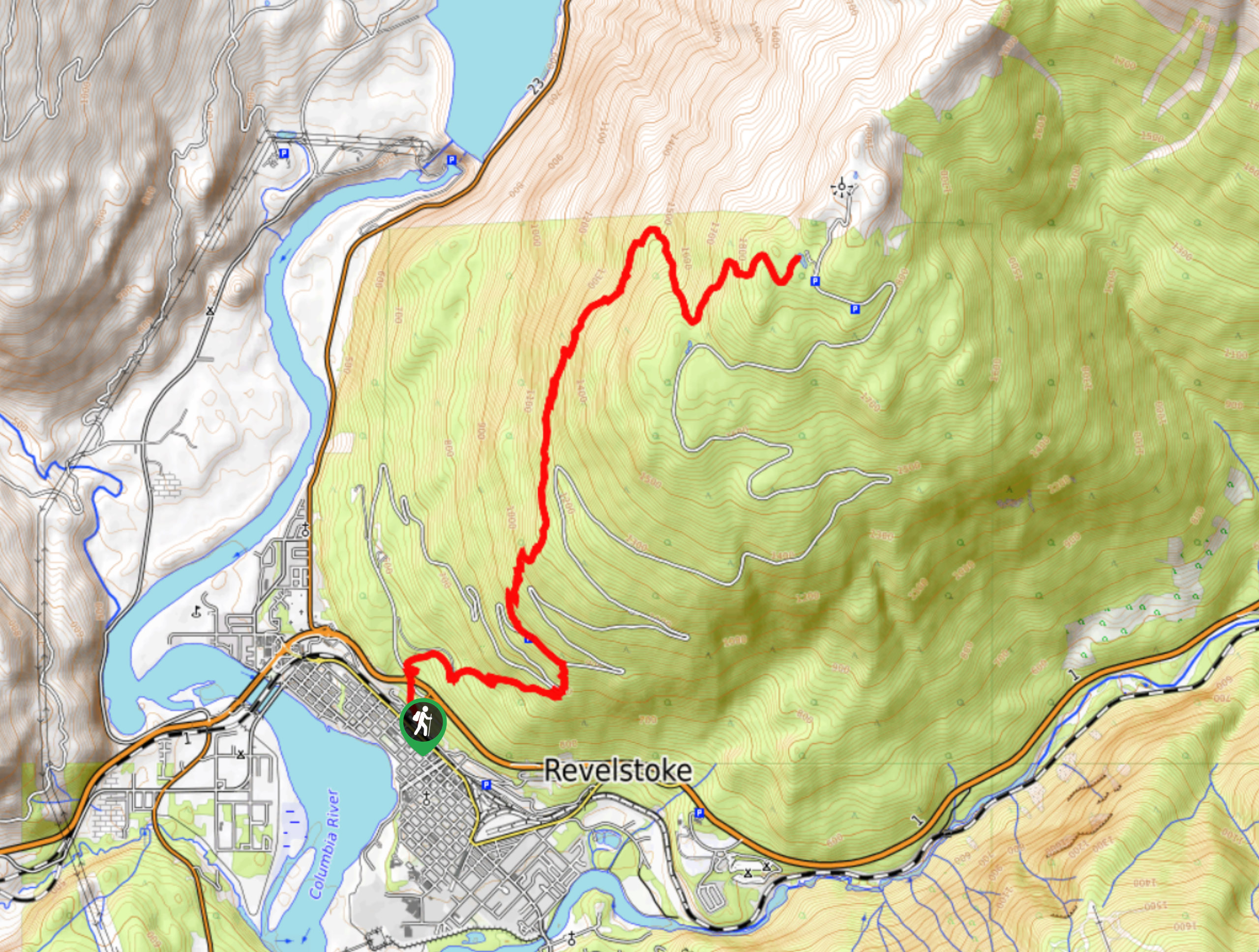
The Mount Begbie Trail is a challenging out-and-back hiking route that can be found just south of Revelstoke, BC within the Begbie Lake Recreation site. The trail initially climbs very steeply uphill and levels out somewhat once you reach the camp. Here, hikers will have amazing views of the surrounding mountains and the valley below, allowing you to fully appreciate the Revelstoke area's natural beauty.
Getting there
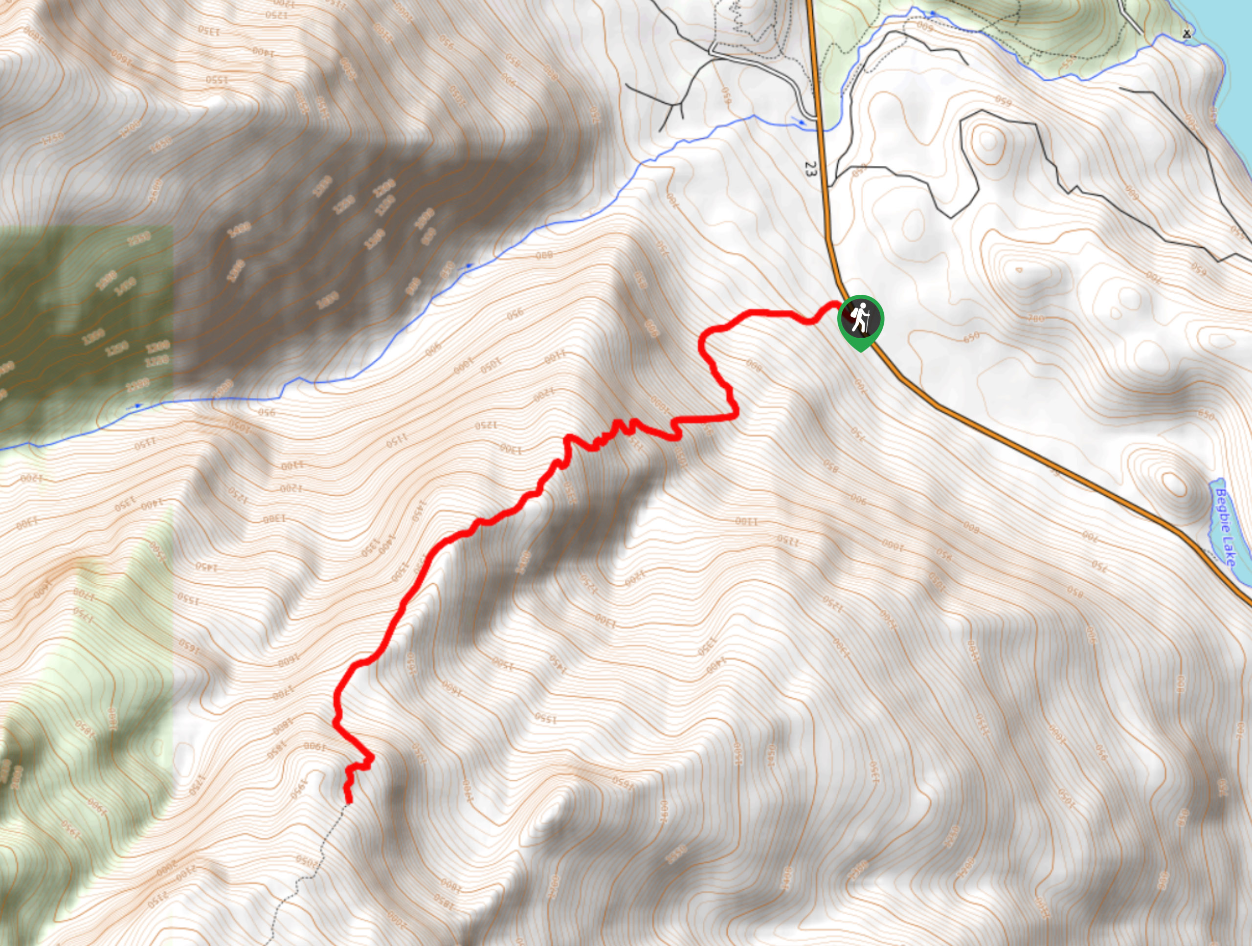
To reach the Mount Begbie trailhead from Revelstoke, head west on BC-1 and cross over the Columbia River. Shortly after the bridge, turn left onto Nakusp Mica Creek Highway/BC-23 and follow it south for 6.3mi, where you will find the trailhead on the right.

About
| When to do | May-October |
| Backcountry Campsites | No |
| Pets allowed | Yes - On Leash |
| Family friendly | No |
| Route Signage | Average |
| Crowd Levels | Low |
| Route Type | Out and back |
Mount Begbie Trail
Elevation Graph
Weather
Mount Begbie Trail Description
The Mount Begbie Trail is a difficult hiking route that will take you through a variety of terrain, including dense forests and alpine meadow, as you climb up the steep slopes of the mountain. This route packs 4157ft of elevation gain along its length, making it a bit of a tough climb, especially on the initial stretch of the trail. Hikers should make sure to wear proper hiking footwear and bring extra gear such as microspikes or crampons, as they can help with traversing icy/snowy trail conditions. Additionally, some parts of the trail are a bit overgrown and the optional extension to reach the glacier is unmarked, so make sure to bring a GPS or trail map to navigate these areas.
The initial stretch of the trail is largely blanketed in dense forest, leaving little in the way of scenic views for hikers to experience as they climb up the steep grade of the mountain. Along this portion of the route, you will be able to take in the natural beauty of the woodland landscape and pass by a few small waterfalls before the tree cover begins to open up a bit.
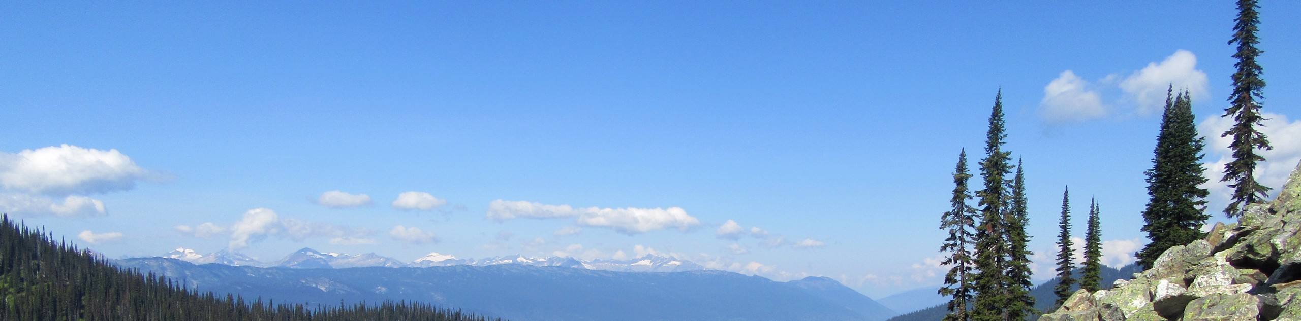
The area around the camp is where hikers will be able to experience some amazing views overlooking the surrounding mountains, as well as the Columbia River snaking its way through the valley below. From this area, you can travel a bit further along an optional route to reach some amazing views over the glacier and of Mount Begbie itself. Climbing to the top of the peak should only be attempted by experienced hikers. After you’ve taken in the amazing views over the Revelstoke area, head back down the same trail to return to your vehicle below.
Similar hikes to the Mount Begbie Trail hike
Eva Lake Trail
The Eva Lake Trail is a 9.3mi out-and-back hiking route in Mount Revelstoke National Park that sets out…
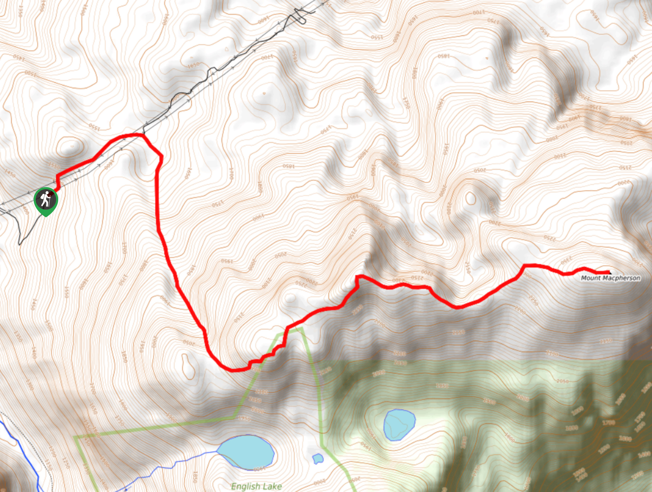
Mount MacPherson
The trek up Mount MacPherson is a challenging 9.8mi hiking route that will see you traverse exposed sections…
Lindmark Trail
The Lindemark Trail is a 13.7mi long hiking route that climbs up the slopes of Mount Revelstoke and…
Comments