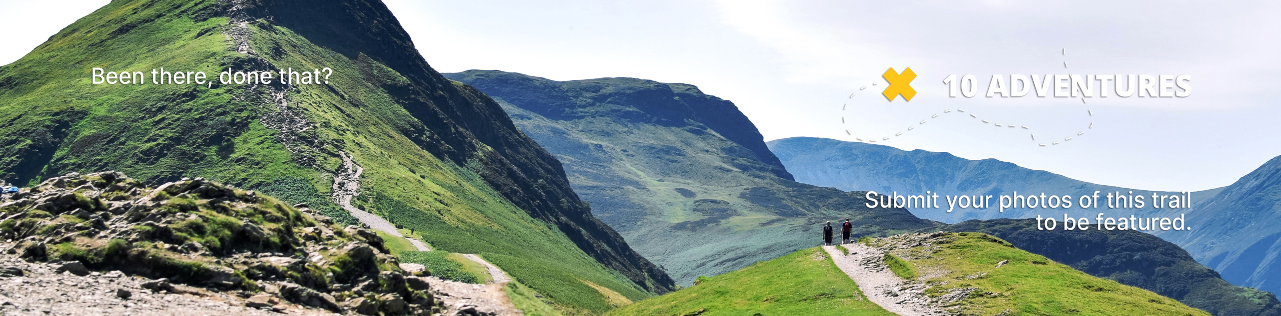
Begbie Falls
View Photos
Begbie Falls
Difficulty Rating:
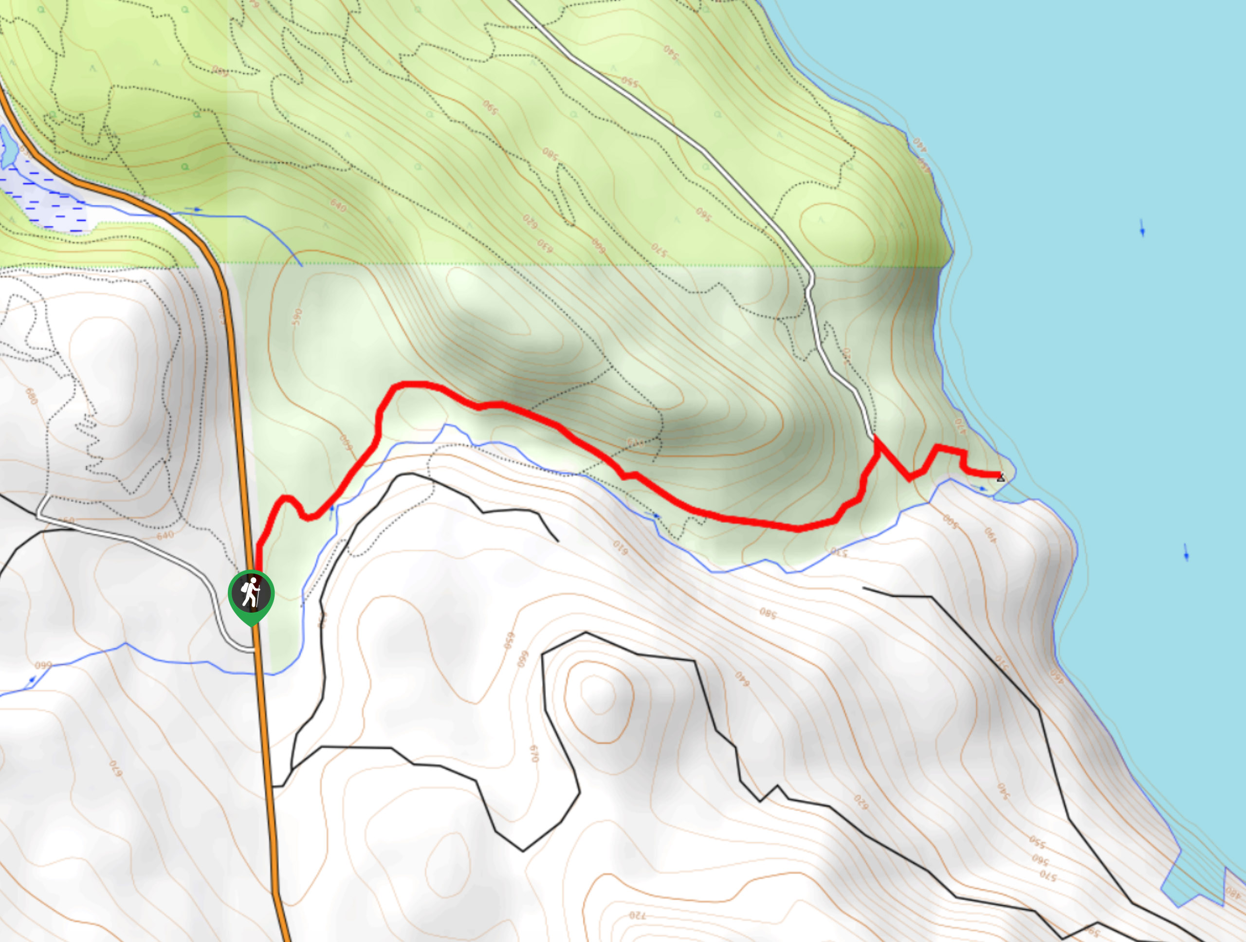
Begbie Falls is a densely forested 3.1mi hiking route near Revelstoke, BC that traverses the woodland landscape alongside the winding waters of Begbie Creek to arrive at a scenic waterfall. With a well-maintained and easy-to-follow trail and small changes in elevation, this route is a great option for hikers of most skill levels. Remember to pack your swimwear and spend the afternoon hanging by the beach at the Begbie Falls Recreation Site.
Getting there
To get to the Begbie Falls trailhead from Revelstoke, drive west on BC-1 and cross the Columbia River. Once you cross the bridge, make a left turn onto BC-23 and you will find the trailhead on the left after 5.6mi.

About
| When to do | May-October |
| Backcountry Campsites | Begbie Falls Recreation Site |
| Pets allowed | Yes - On Leash |
| Family friendly | Older Children only |
| Route Signage | Average |
| Crowd Levels | Low |
| Route Type | Out and back |
Begbie Falls
Elevation Graph
Weather
Begbie Falls Description
The Begbie Falls Trail is a truly scenic hike through the beautiful forests around the Revelstoke area. Hikers will be able to take in the tranquil woodland atmosphere as they follow alongside Begbie Creek towards the waterfalls. Although the route only has a cumulative elevation gain of 787ft, parts of the trail can become slippery and difficult to navigate during wet weather. Make sure to wear proper hiking footwear and take your time when hiking down to the falls.
Setting out from the parking area off BC-23, enter into the dense tree cover and follow the trail as it winds through the forest to the northeast. Winding your way along the trail, you will eventually be able to hear the rushing sound of water as you hike through the trees and get closer to the falls. Reaching the viewpoint, you will have an awesome view of the water as it cascades down the rugged rock formation. From here, continue along the trail as it descends a bit further to reach the Begbie Falls Recreation Site at the edge of the Columbia River. After reaching the end of the trail, hikers can either spend some time hanging out by the beach or hiking back along the forested trail to return to their vehicle.
Similar hikes to the Begbie Falls hike
Eva Lake Trail
The Eva Lake Trail is a 9.3mi out-and-back hiking route in Mount Revelstoke National Park that sets out…
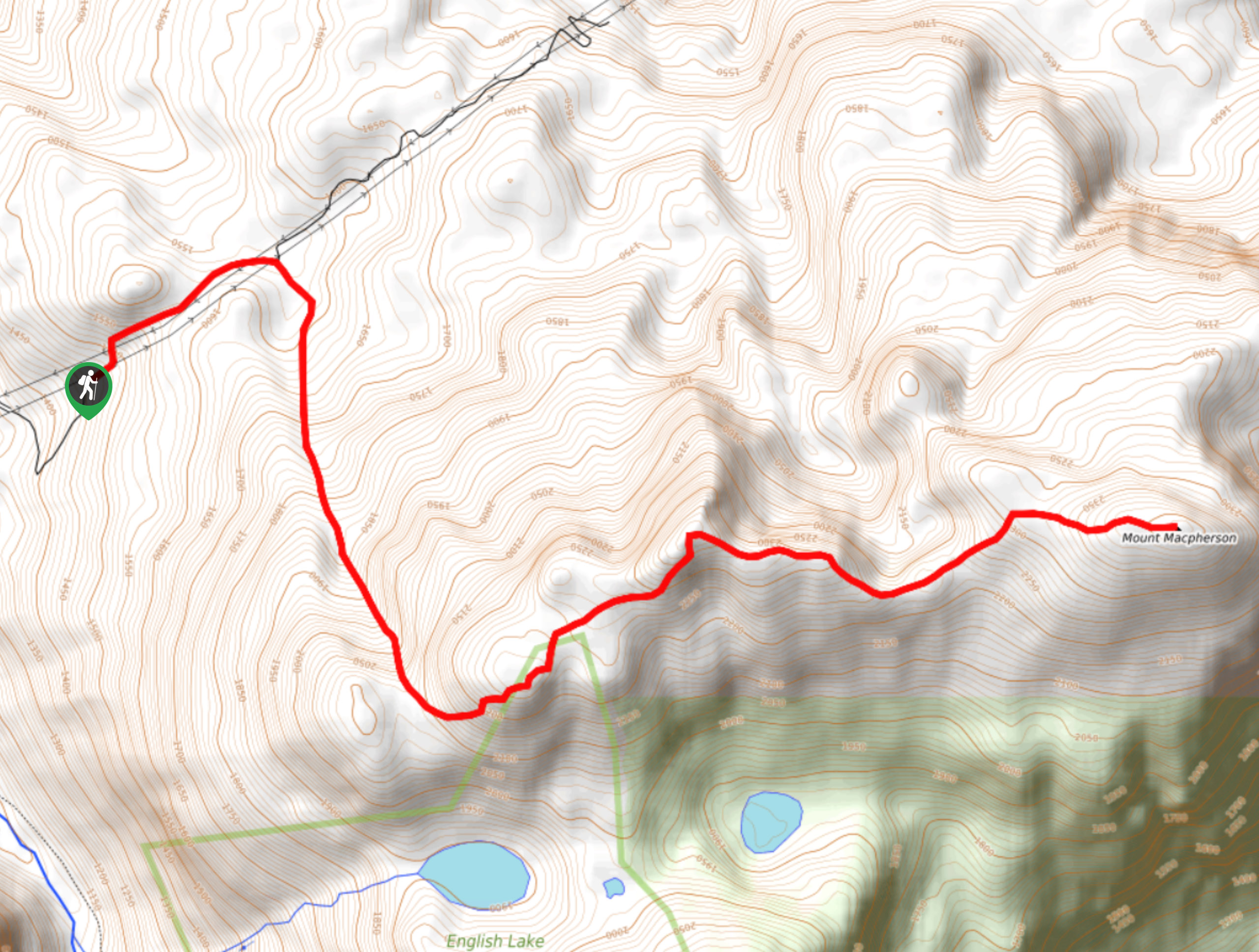
Mount MacPherson
The trek up Mount MacPherson is a challenging 9.8mi hiking route that will see you traverse exposed sections…
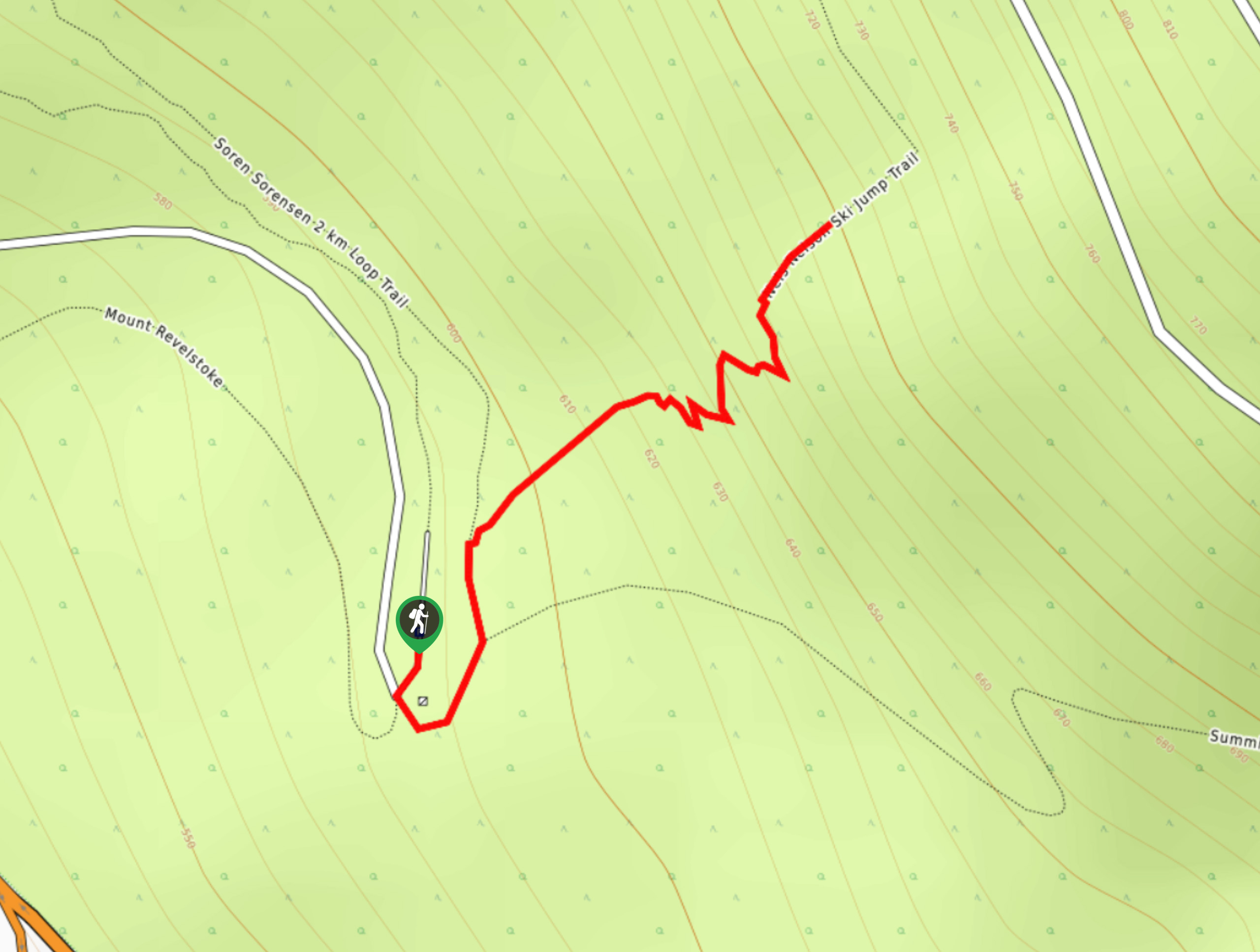
Nels Nelson Trail
The Nels Nelson Trail is a 0.7mi hiking route on the lower slopes of Mount Revelstoke that climbs…
Comments