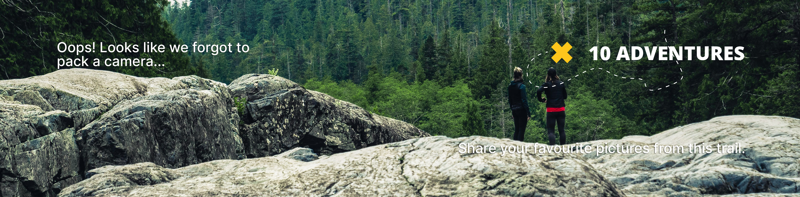
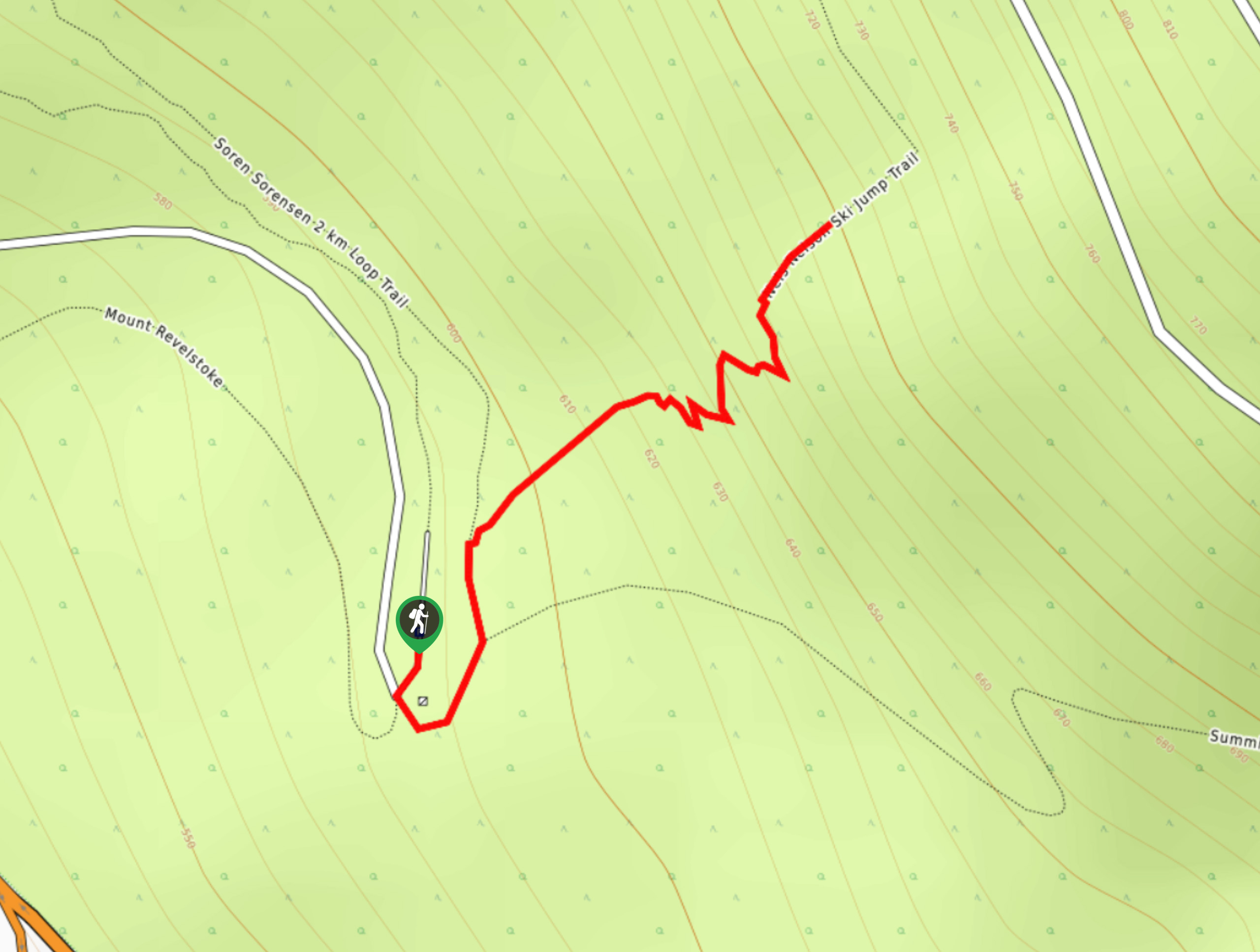
Flowdown Trail
View Photos
Flowdown Trail
Difficulty Rating:
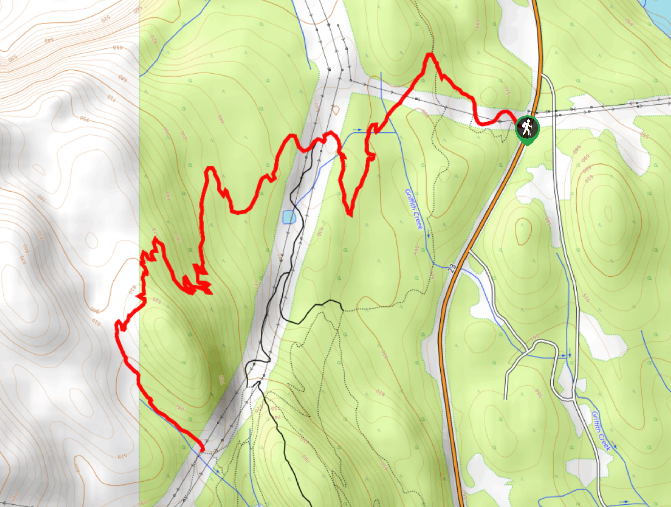
The Flowdown Trail is an 7.0mi multi-use trail near Revelstoke, BC, that is popular with hikers and mountain bikers. The route climbs through the forests of the Mount MacPherson Cross Country Trails Recreation Site along paths made up of packed earth and boardwalk. Keep an eye out for mountain bikes, as the trail is part of a dense network of routes in the area.
Getting there
To get to the trailhead for the Flowdown Trail from Revelstoke, drive south along BC-23 for 1.7mi, where you will find the trailhead on the right.

About
| When to do | May-November |
| Backcountry Campsites | No |
| Pets allowed | No |
| Family friendly | Older Children only |
| Route Signage | Average |
| Crowd Levels | Low |
| Route Type | Out and back |
Flowdown Trail
Elevation Graph
Weather
Flowdown Trail Description
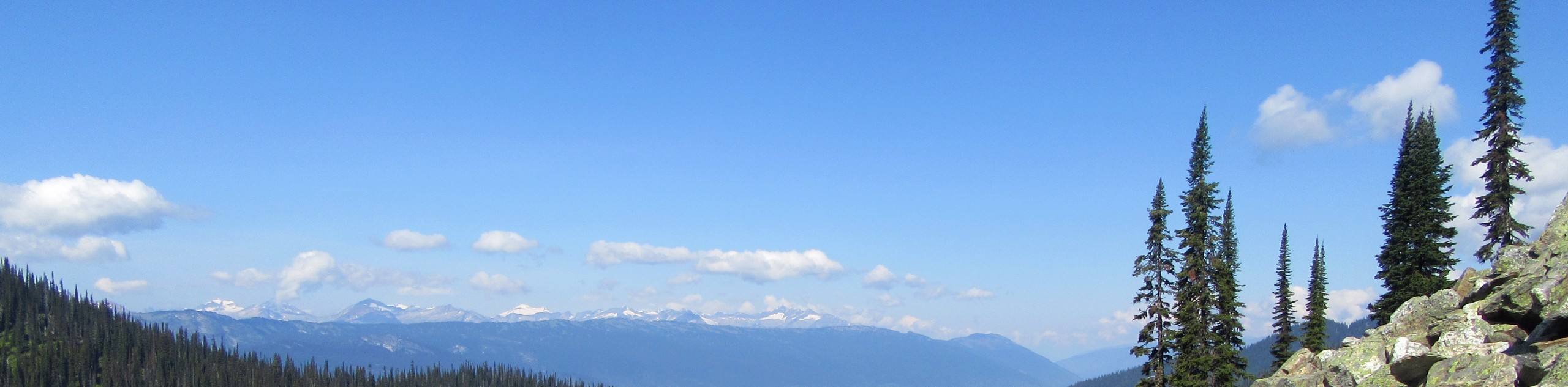
Primarily used as a mountain bike trail, the Flowdown Trail is a great hiking route south of Revelstoke that will allow you to explore the amazing trail system within the Mount MacPherson Cross Country Trails Recreation Site. Due to the traffic of passing mountain bikes and hikers, you should always remain aware of your surroundings while on this trail and allow others to pass freely by. The route climbs uphill through the dense forest and reveals some scenic views of Mount Mackenzie and Mount Cartier in the distance during the brief moments when the tree cover dissipates. Large moss-covered boulders, dirt paths, and tall trees characterize the majority of this trail as you wind along the lower slopes of the mountain. This trail is a great option if you are looking for a dense network of routes close to the city.
Similar hikes to the Flowdown Trail hike
Eva Lake Trail
The Eva Lake Trail is a 9.3mi out-and-back hiking route in Mount Revelstoke National Park that sets out…
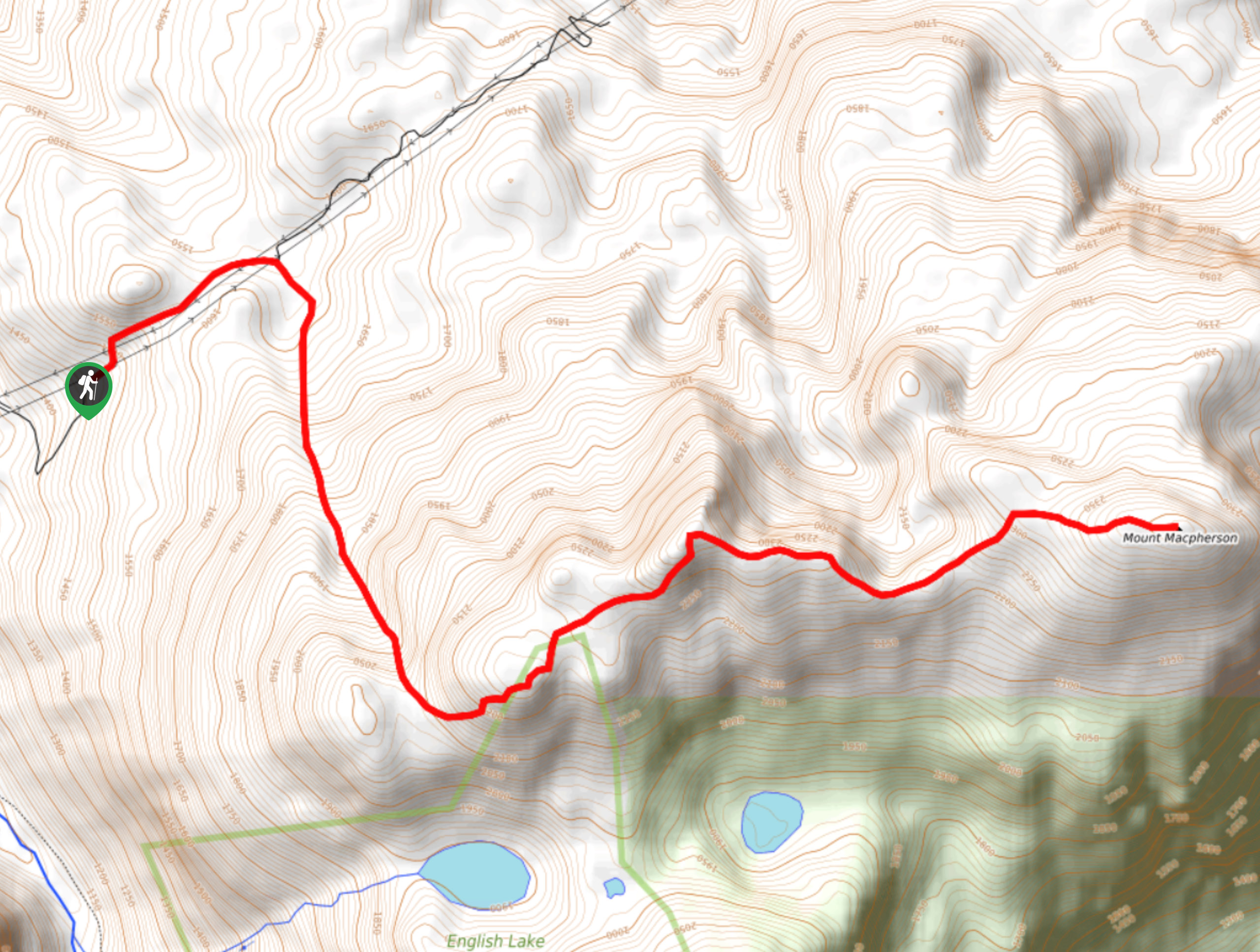
Mount MacPherson
The trek up Mount MacPherson is a challenging 9.8mi hiking route that will see you traverse exposed sections…
Nels Nelson Trail
The Nels Nelson Trail is a 0.7mi hiking route on the lower slopes of Mount Revelstoke that climbs…
Comments