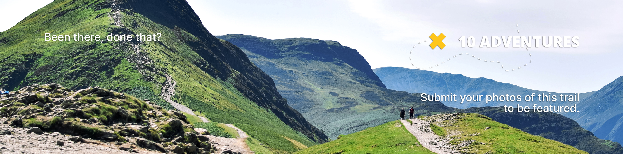
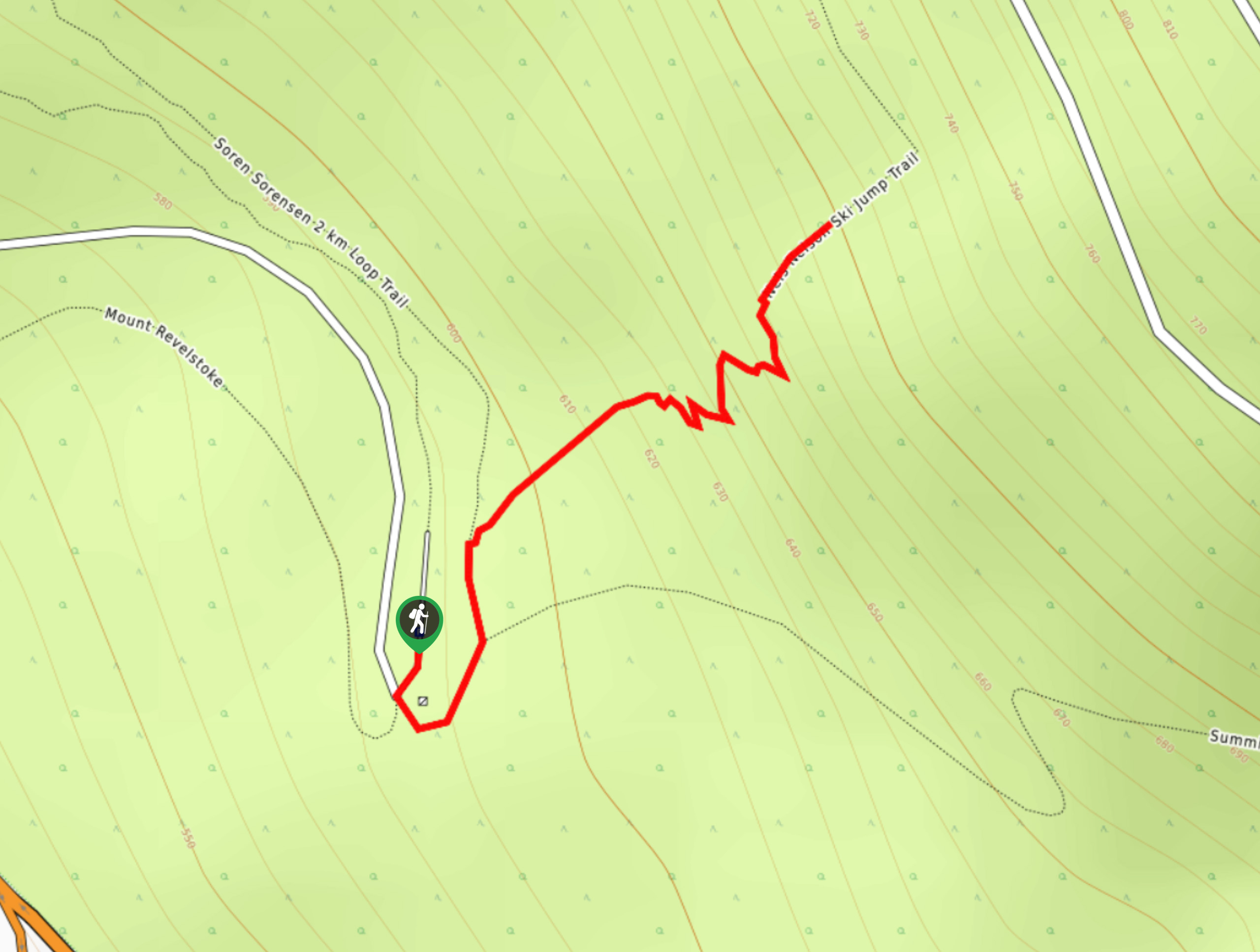
Sorenson Trail Loop
View Photos
Sorenson Trail Loop
Difficulty Rating:
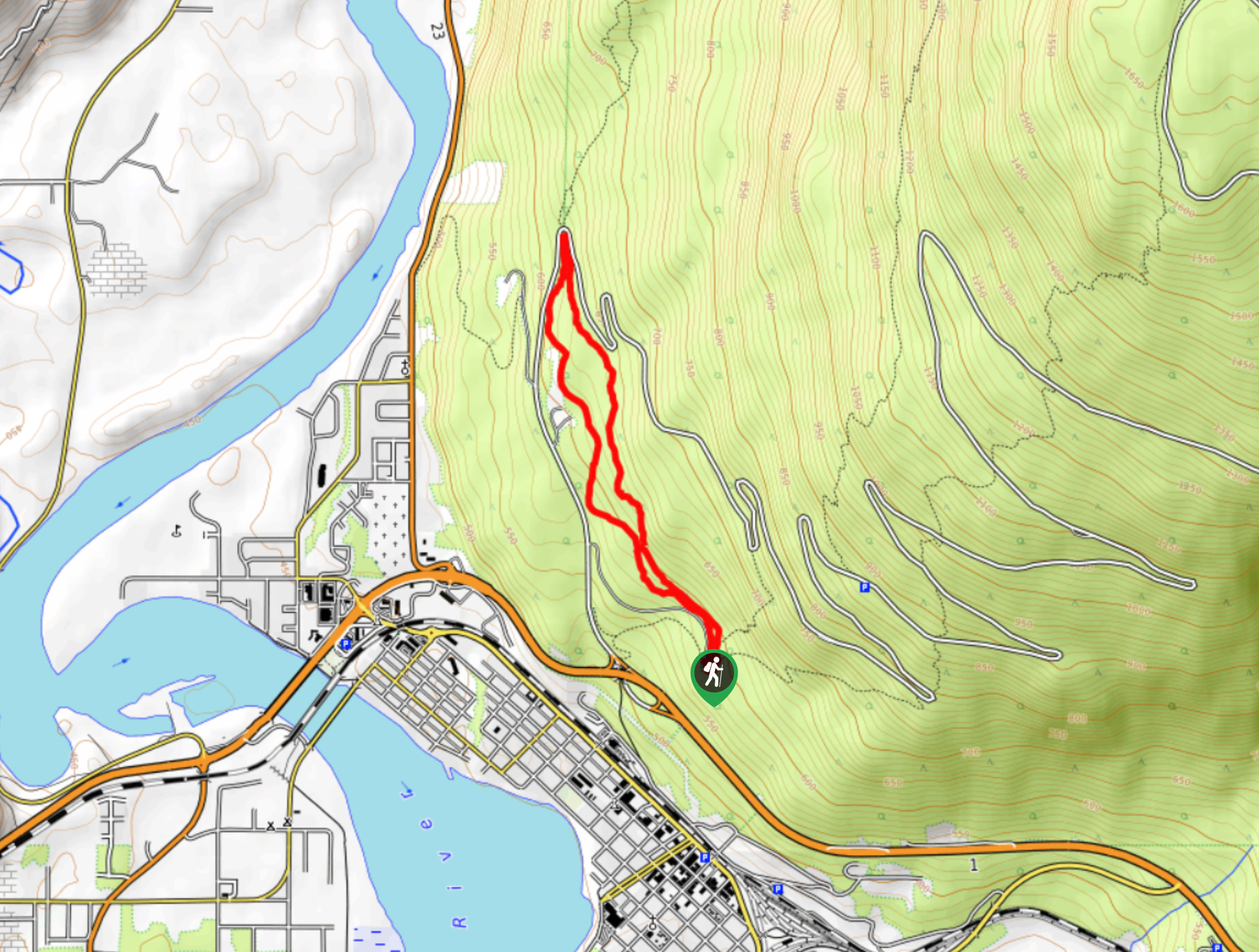
The Sorenson Trail Loop is a 3.2mi hiking route through Mount Revelstoke National Park that passes through a beautiful forest setting with several small waterfalls. The trail can be found along the lower slopes of the mountain and passes between the Meadows to the Sky Highway. This is a fairly easy trail that can be used by hikers of most skill levels.
Getting there
To get to the parking lot for the Sorenson Trail Loop from Revelstoke, travel west on BC-1 and take the exit for Mount Revelstoke National Park. Continue along the Meadows in the Sky Parkway for 1804ft and turn right. You will reach the parking area in 2953ft.

About
| When to do | May-October |
| Backcountry Campsites | No |
| Pets allowed | Yes - On Leash |
| Family friendly | Older Children only |
| Route Signage | Average |
| Crowd Levels | Low |
| Route Type | Circuit |
Sorenson Trail Loop
Elevation Graph
Weather
Sorenson Trail Loop Description
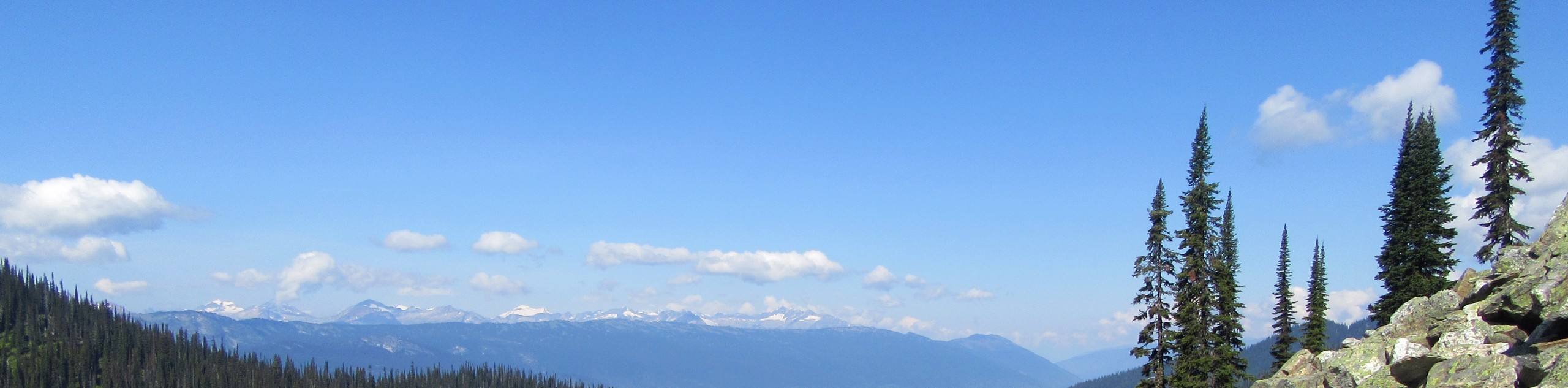
Hiking along the Sorenson Trail Loop is fairly straightforward, as there are no real obstacles or technical sections of terrain. The trail climbs uphill for the initial stretch, but the elevation gain is more than manageable for most hikers, including children. Along the trail you will pass through a beautifully scenic forest setting and have the occasional glimpse of the surrounding mountains through the tree cover. For those looking for a longer hike, you can cross over the road at the pinnacle of the trail to take and continue along the Inspiration Woods Trail for an extra bit of scenic woodland hiking or take the summit trail for the long hike up Mount Revelstoke.
Similar hikes to the Sorenson Trail Loop hike
Eva Lake Trail
The Eva Lake Trail is a 9.3mi out-and-back hiking route in Mount Revelstoke National Park that sets out…
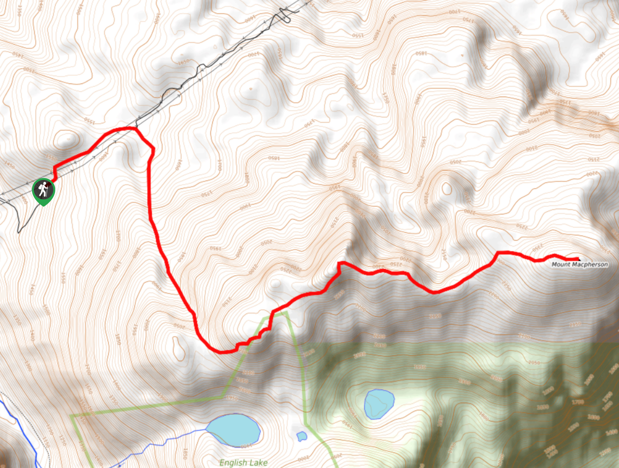
Mount MacPherson
The trek up Mount MacPherson is a challenging 9.8mi hiking route that will see you traverse exposed sections…
Nels Nelson Trail
The Nels Nelson Trail is a 0.7mi hiking route on the lower slopes of Mount Revelstoke that climbs…
Comments