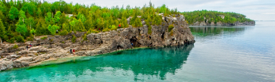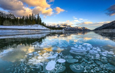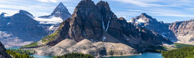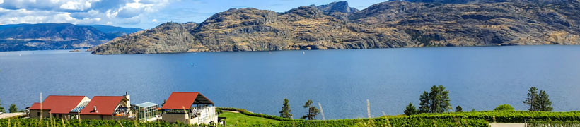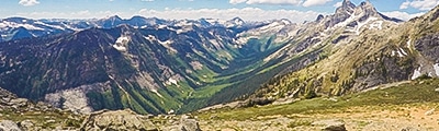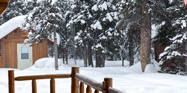
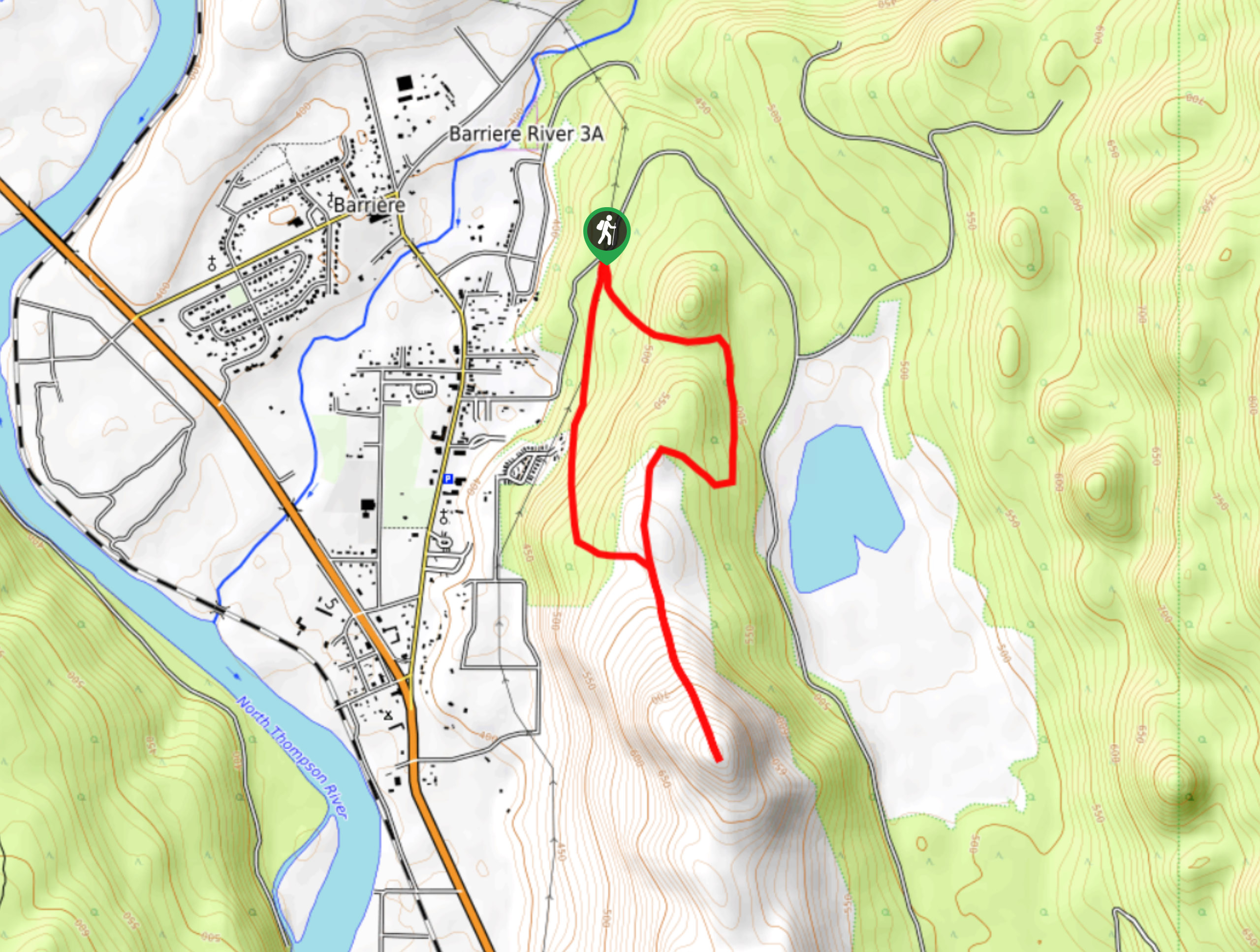
hikes in North Thompson Valley
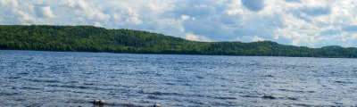
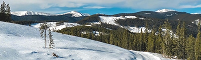
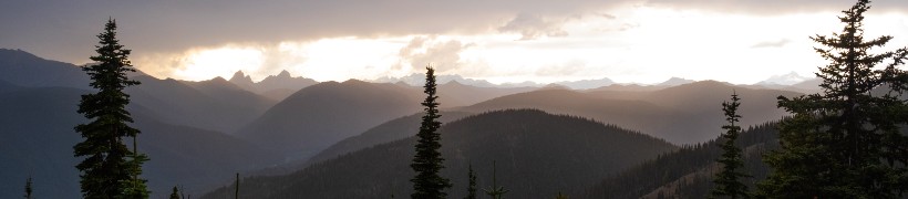
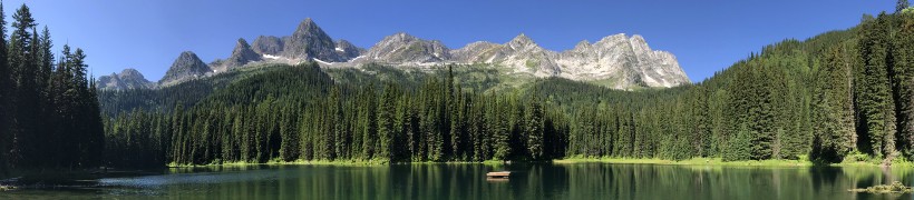
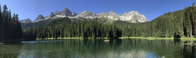
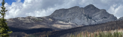
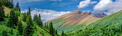
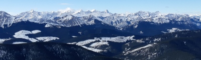
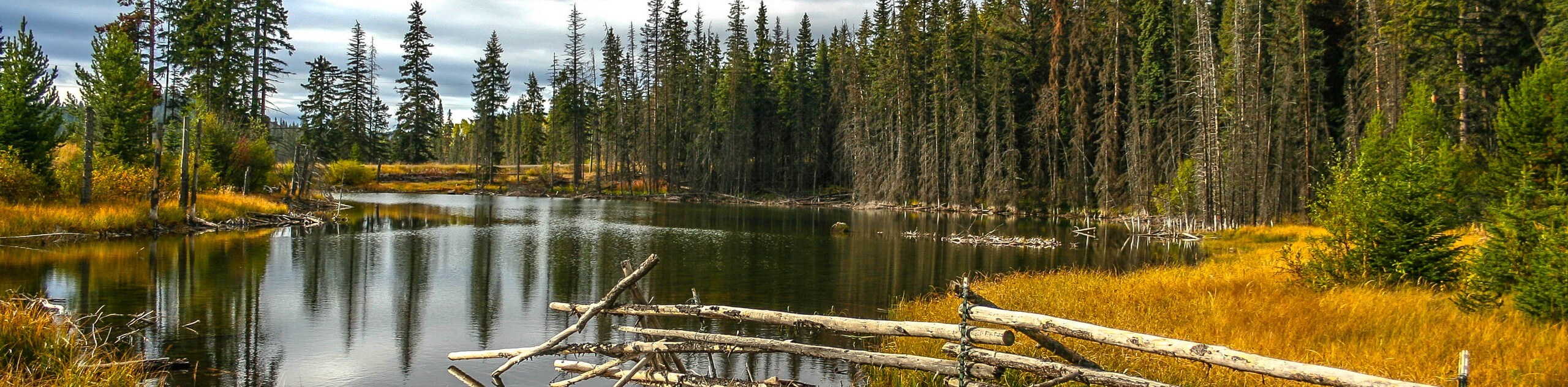
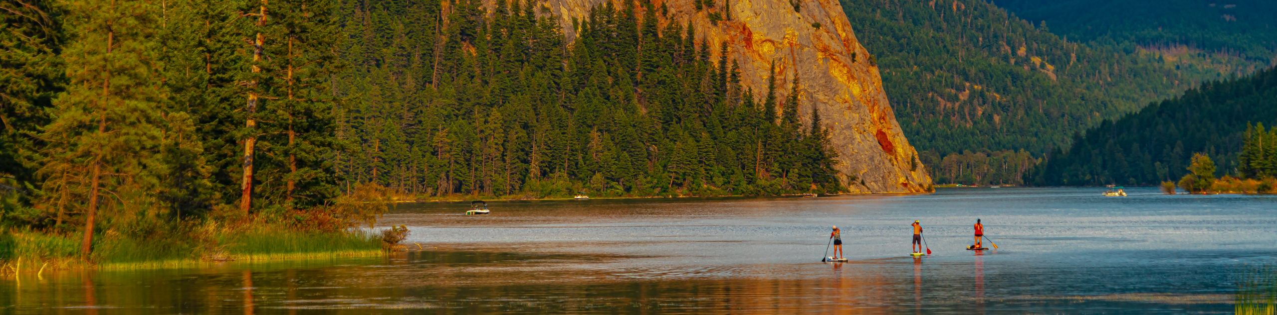
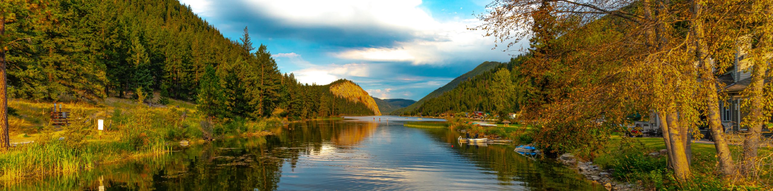
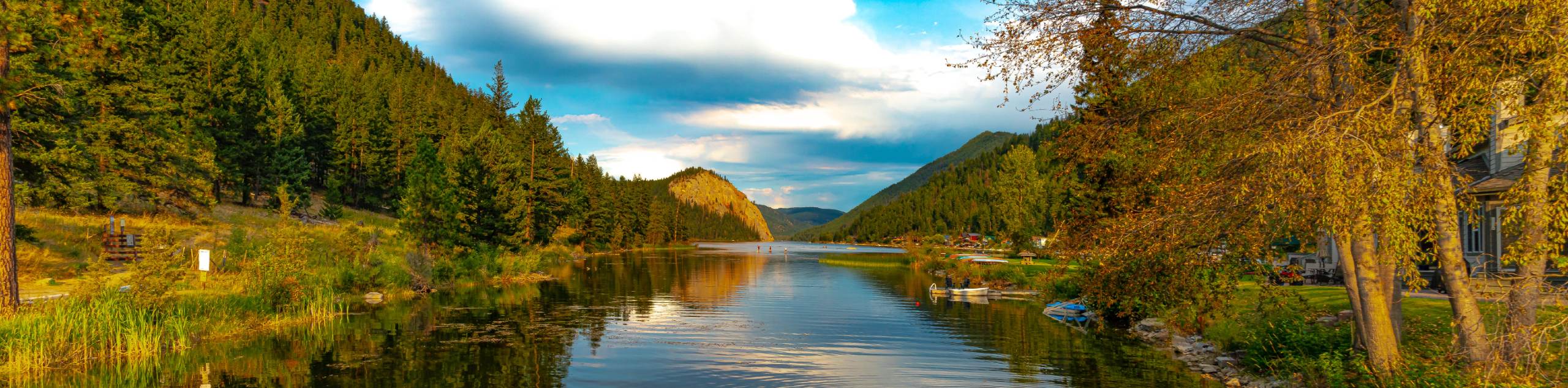
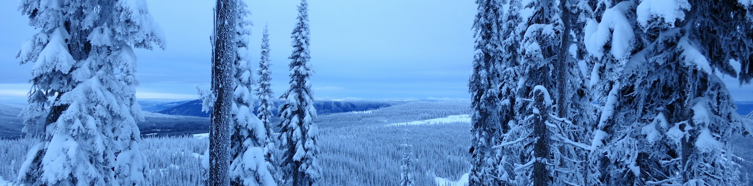
The North Thompson Valley is a gorgeous stretch of rugged and wild terrain within British Columbia’s central interior that expands southward from the Monashee and Cariboo mountains towards Kamloops. Dissected by the imposing North Thompson River - the large tributary of the Fraser River - the landscape in this beautiful region is relatively untouched, yet easily accessible, making it the ideal place to explore and reconnect with nature, no matter the season.
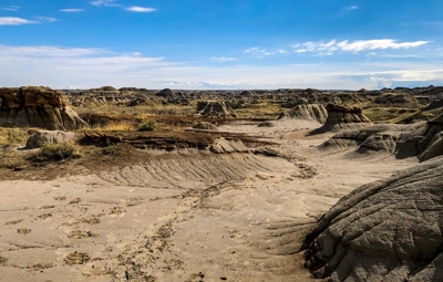
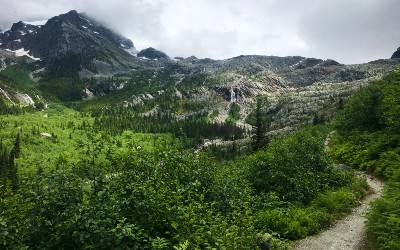
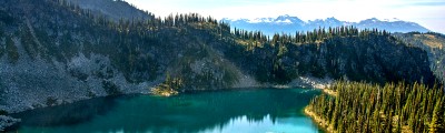
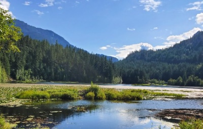
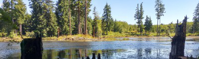
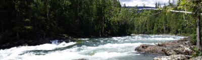
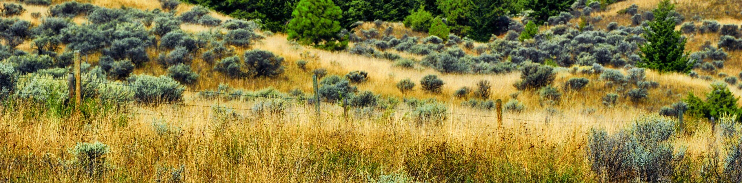
Hiking trails in the North Thompson Valley vary greatly and range from easy city walks to rugged backcountry adventures, and everything in between. Vast stretches of grassland offer the chance to roam the countryside under the great blue sky, while forested hikes further to the north will allow you to explore serene woodland landscapes that are home to some of the most dramatic and beautiful waterfalls that can be found in Canada. Regardless of your age, skill level, or the type of adventure you are after, you can rest assured that a trip to the North Thompson Valley will produce amazing experiences and lasting memories that you won’t soon forget.
The 10 Most Stunning Hikes In the North Thompson Valley
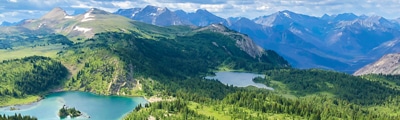
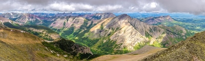
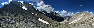
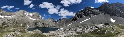
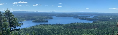
The variety of breathtaking terrain and wild nature of the landscapes within the North Thompson Valley make it an ideal destination for exploring the rugged central interior of British Columbia. Vast swathes of rolling grassland hills, stretches of arid terrain, gorgeous meadows, and dramatic mountain peaks all characterize this nearly untouched region and make it the perfect place to set out on a backcountry adventure. Whether you are looking to access the challenging mountain trails to the north or the family-friendly riverside walks around Kamloops, you will be sure to find your perfect hiking adventure in the North Thompson Valley. Check out this fantastic list of hiking routes that we’ve put together below:
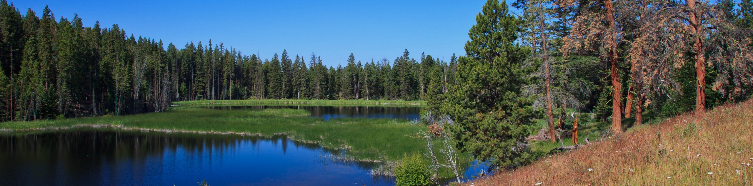
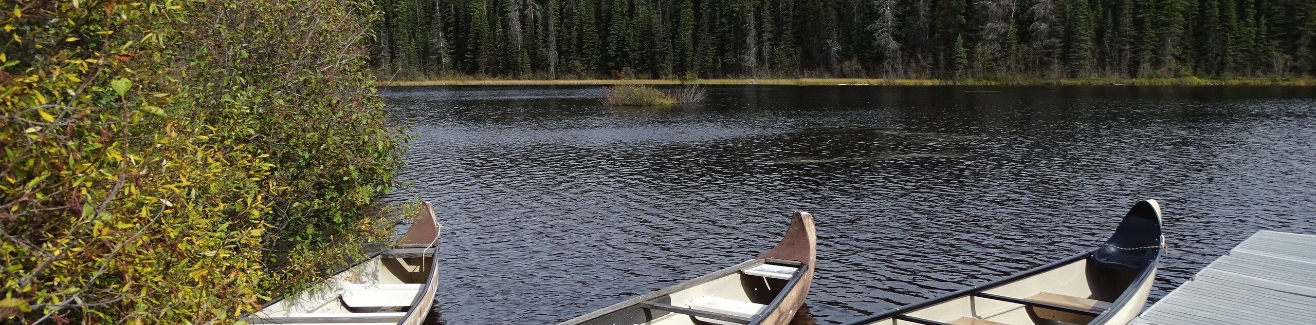
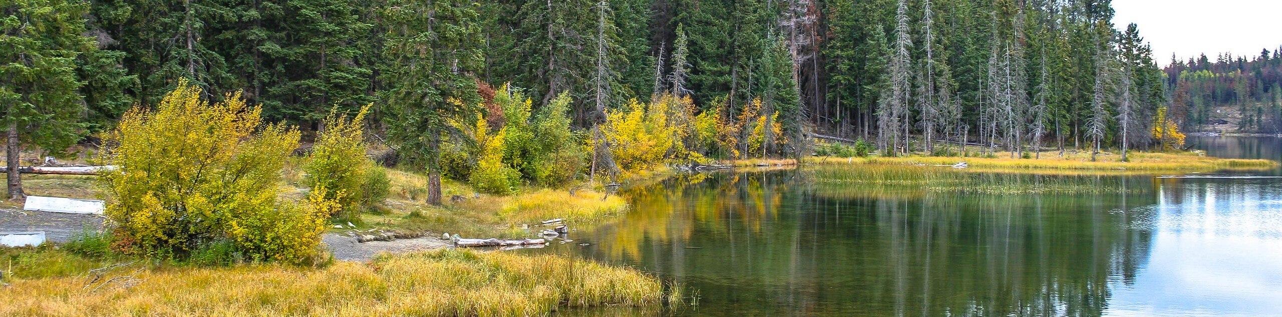
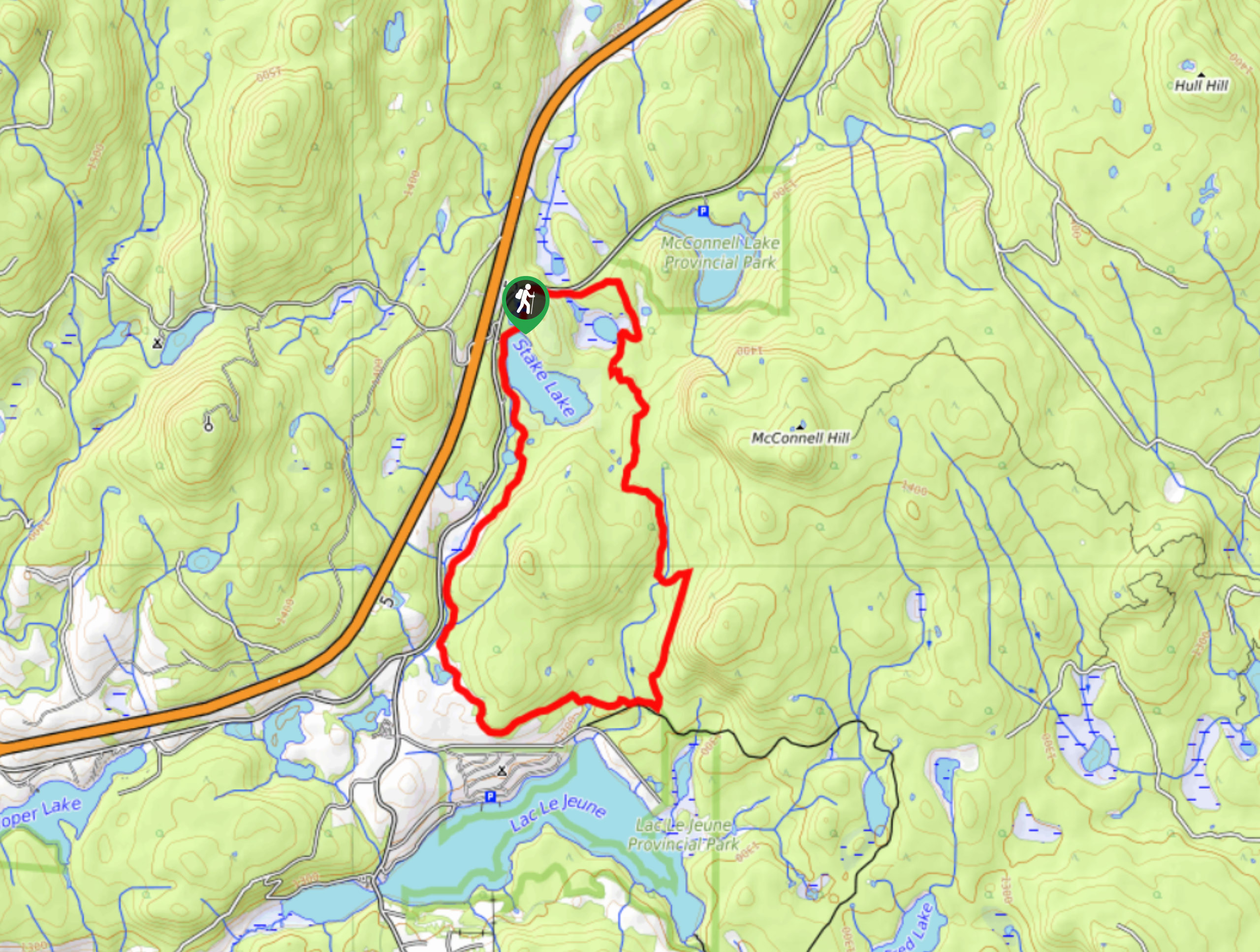
- Stake Lake Cartwheel Trail: This short trail in McConnell Lake Provincial Park will lead you around a charming lake for beautiful views of the water and surrounding woodland landscape. The laidback terrain of the forests and grassland meadows make this quick adventure perfect for a family excursion.
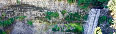
- Margaret Falls Upper Loop: Located in Herald Provincial Park, the Margaret Falls Upper Loop is a wonderful forest hike that will take you to a viewpoint looking onto a stunning waterfall. There are a few steep stretches on this hike, but for the most part it is suitable for hikers of every skill level.
- Battle Bluff Trail: This awesome trail in Kamloops will lead you uphill to a rocky lookout with views that sweep across Kamloops Lake and the surrounding valley landscape. With a moderate overall distance and well-maintained paths that are dog-friendly, this hike is sure to be a hit with the whole family.
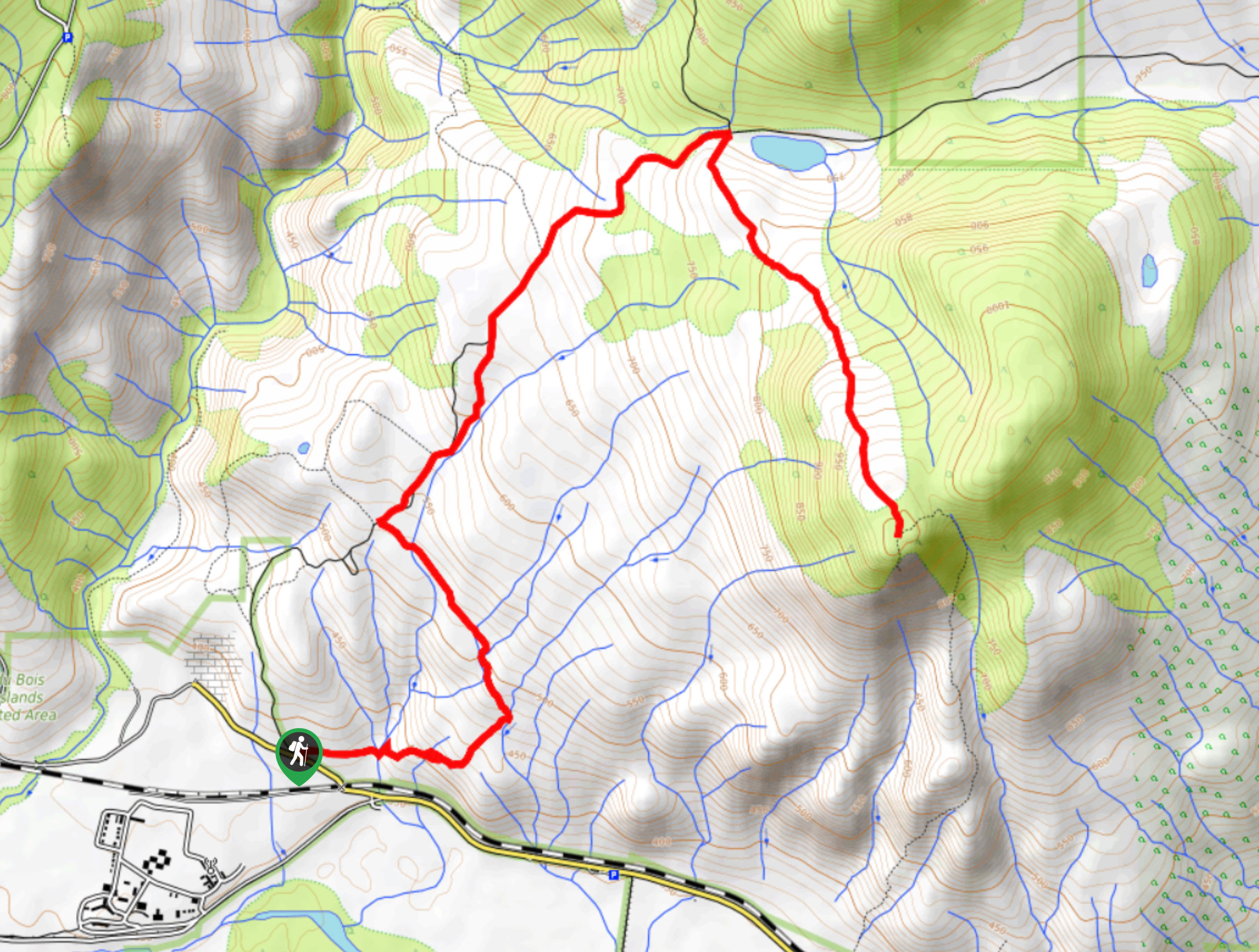
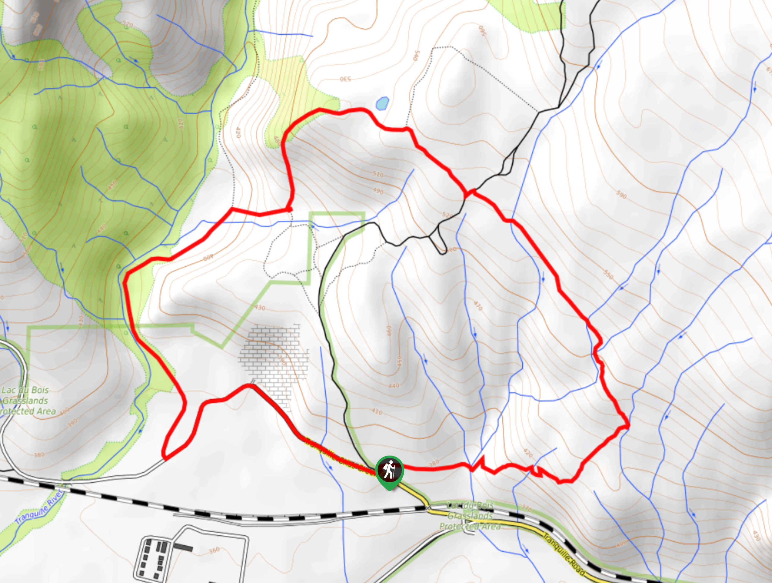
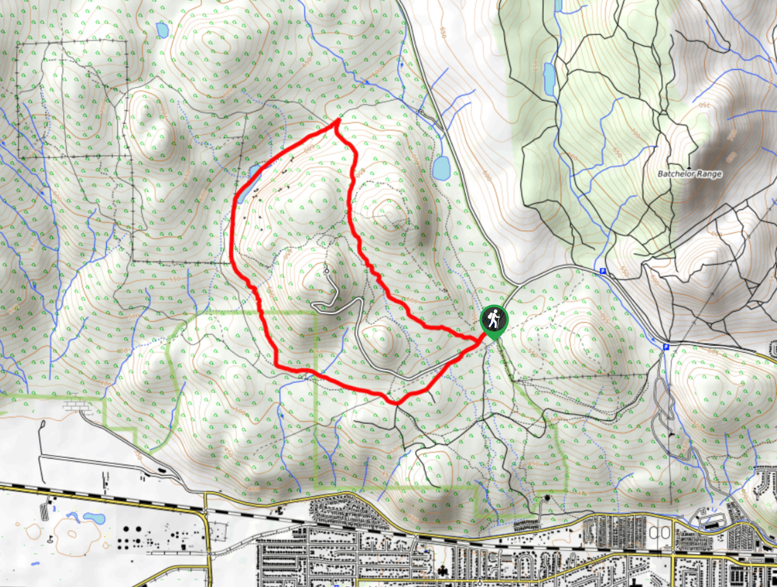
- Lac du Bois: A stunning hike through Lac du Bois Grasslands Provincial Park, this trail will lead you through rolling hills and picturesque meadows for amazing lakeside views with a mountain backdrop. This is another dog-friendly trail in the Kamloops area, meaning you won’t need to leave any family members behind when out exploring the area.
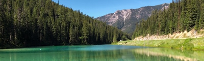
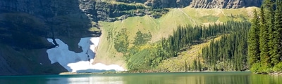
- McConnell Lake Trail: A quick adventure just south of Kamloops, the McConnell Lake Trail is a family-friendly experience that will take you through a charming woodland landscape to reach a wonderful lakeside setting.
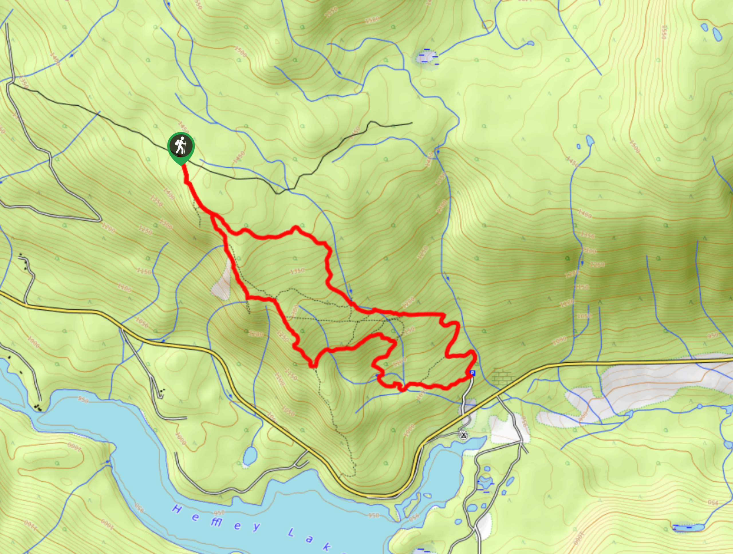
- Lundbom Lake Loop: This intermediate length trail can be found within the Sugarloaf Mountain Bike Recreation Site and takes you through a beautiful grassland landscape characterized by scenic rolling hills. The easy to navigate terrain and access to countless other routes in the area make this awesome hike suitable for those of beginner and experienced skill levels.
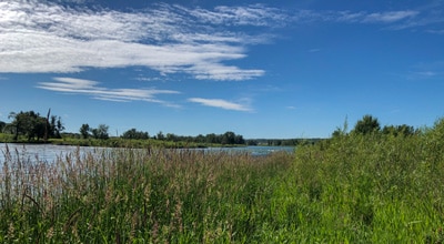
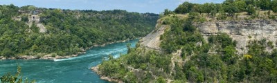
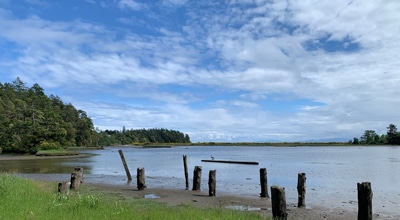
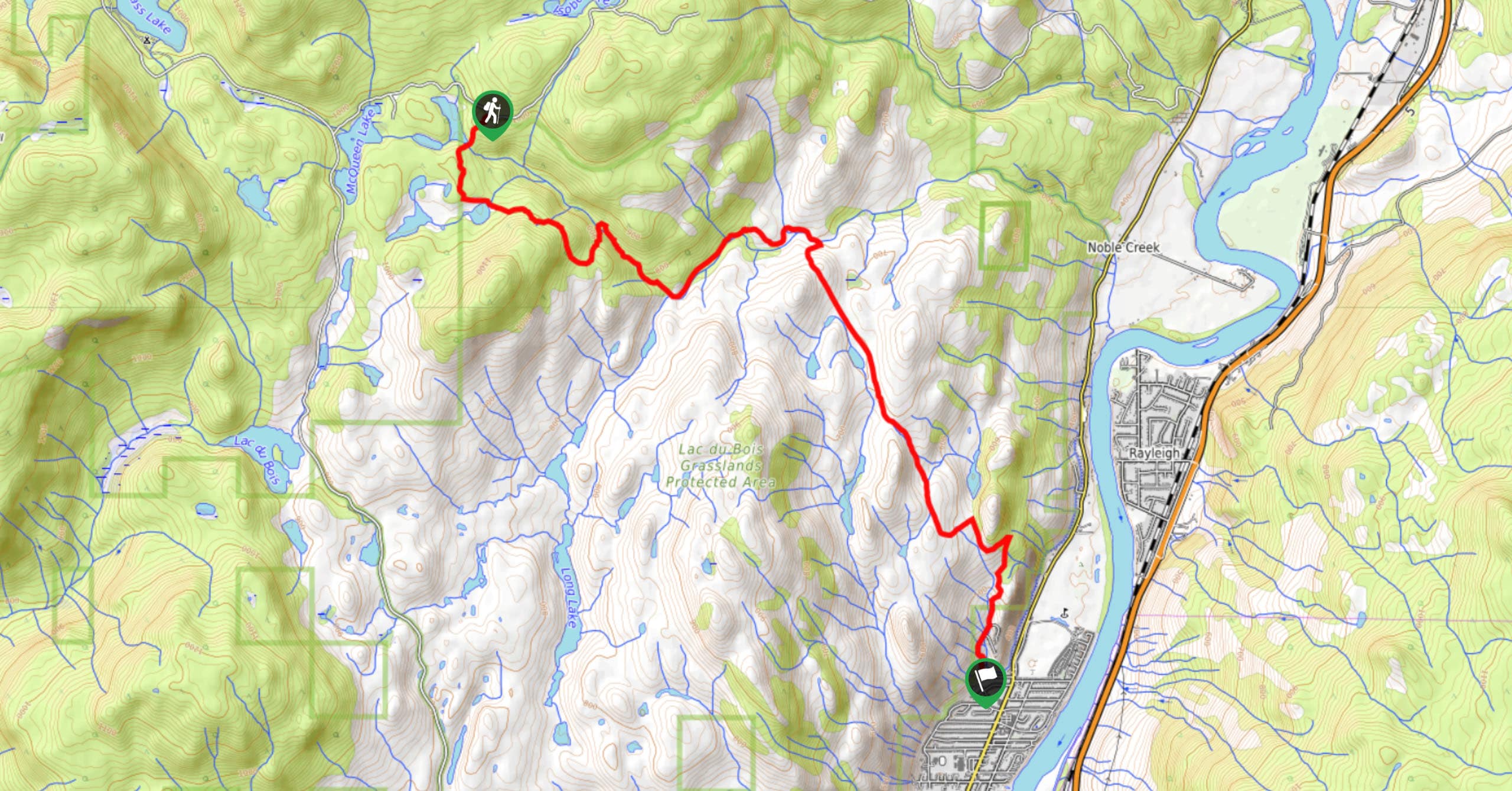
- Rivers Trail: This 8.0mi out-and-back trail near Kamloops will lead you along the Thompson River, providing beautiful views of nearby mountains and the surrounding valley landscape. Bordering the Tranquille Wildlife Management Area, this features some pleasant terrain that is suitable for hikers of nearly every skill level.
- Deep Lake Hike: Another short trail in the Kamloops area, the Deep Lake Hike will take you to a charming lakeside setting with beautiful views of the city. Don’t underestimate this hike, as initial portions of the trail are quite steep and are not suitable for everyone.
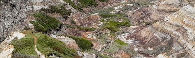
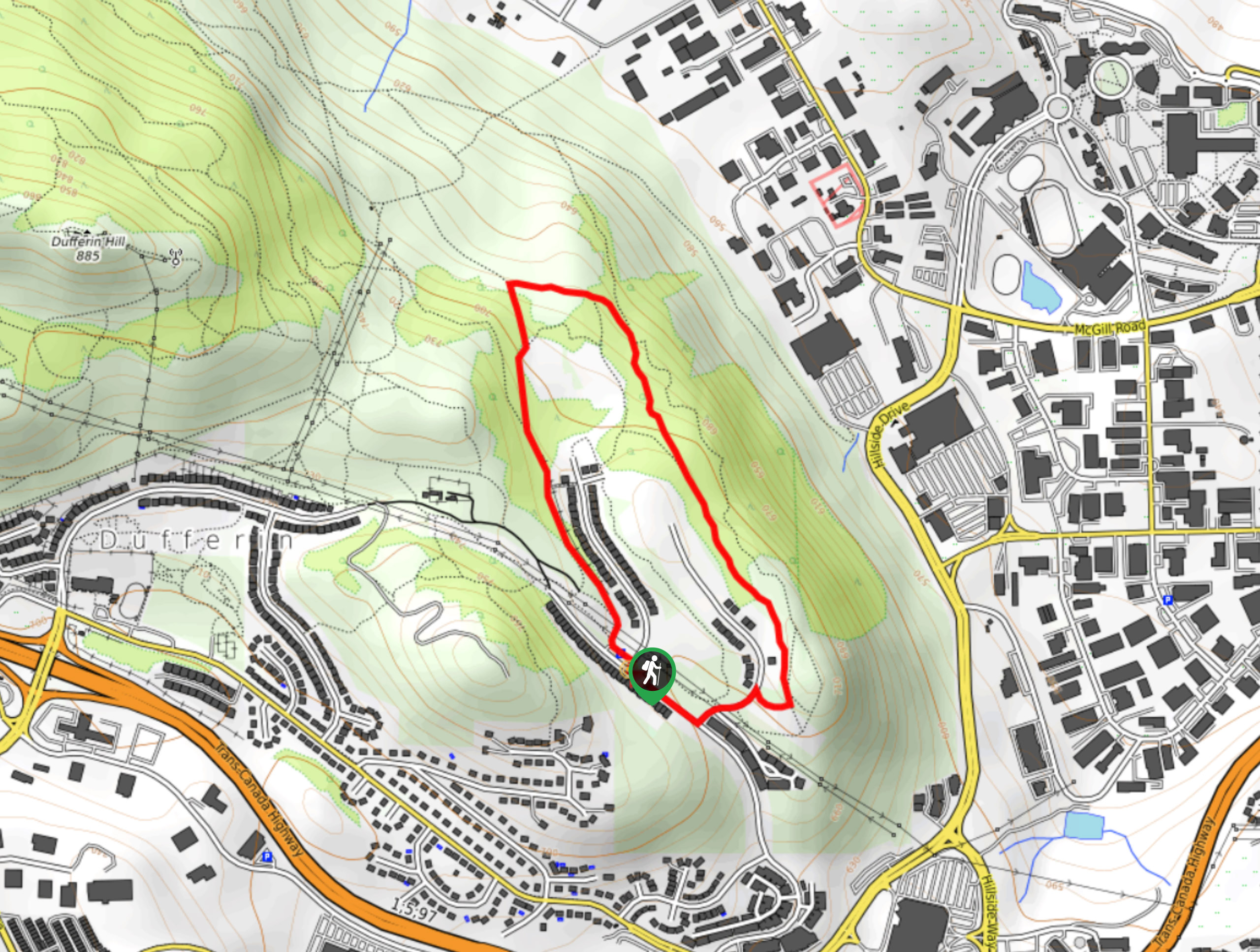
- Cinnamon Ridge Trail: Offering beautiful views of nearby hoodoo rock formations, the Cinnamon Ridge Trail is a 1.1mi hike that can be found just west of Kamloops. For more experienced adventurers that want a more challenging route, the trail continues uphill through a stretch of steep and rugged terrain.
- Gibraltar Rock: This short 2.0mi trail will take you to the lookout at Gibraltar Rock for some stunning views overlooking Paul Lake and the surrounding valley landscape. Be bear aware for this adventure, as a nearby campsite often attracts bears that are in search of an easy food source.
When is the Best Time to Hike in the North Thompson Valley?
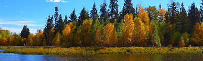
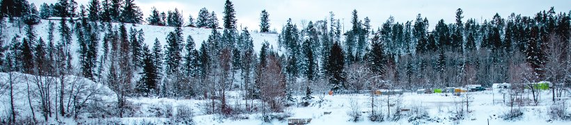
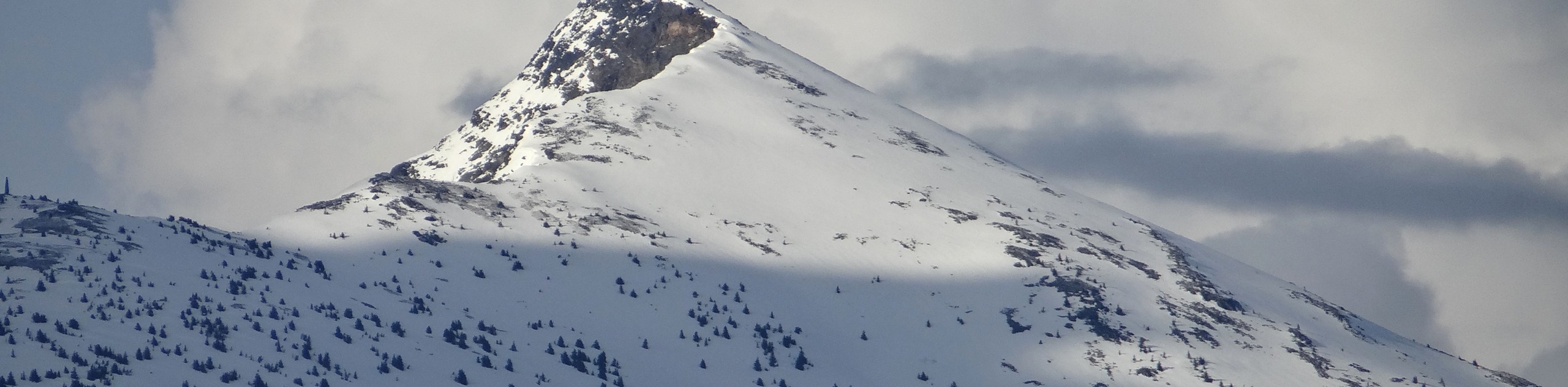
While the North Thompson Valley is a great destination for year-round exploration, some seasons will definitely provide a more comfortable experience than others when out hiking the trails in the region. As the valley lies in the immediate rainshadow of the Coast Mountains and Cascade Range, summer here will produce some of the hottest weather in Canada, with temperatures often above the 40 ℃ threshold. As such, the most pleasant time of year to explore this beautiful region by foot is in the spring and fall seasons, when temperatures are warm and weather is mild.
Other Outdoor Activities in the North Thompson Valley
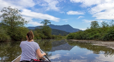
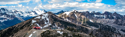
In addition to hiking, the diverse landscape of the North Thompson Valley offers access to a number of other popular outdoor activities throughout the various seasons. Fishing, mountain biking, golfing, horseback riding, and watersports like white water rafting, kayaking and canoeing are all popular activities during the summer. For those looking to explore the region during the winter, skiing (both cross-country and downhill), snowshoeing, and dog sledding are all popular activities. No matter what season or activity you are after, the North Thompson Valley offers a wealth of possibilities to enjoy its breathtaking landscapes.
Frequently Asked Questions About the North Thompson Valley
What is the Thompson Valley?
Centred around the hub city of Kamloops, the Thompson Valley can be found in the central interior of British Columbia along the North and South Thompson Rivers.
What type of fish are in the North Thompson River?
As a major tributary of the Fraser River, the North Thompson River is home to a variety of migratory fish species, as well as others that are confined to its waters year-round. Fish species that can be found here are Salmon (Sockeye, Chinook, Coho, Pink), Sturgeon, Rainbow Trout, Dolly Varden, and Mountain Whitefish.
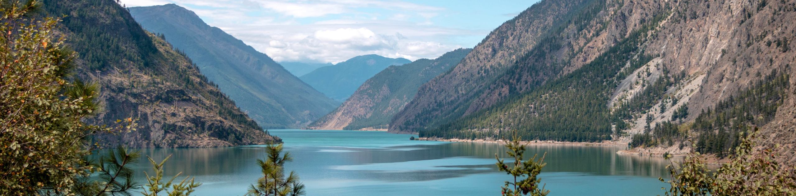
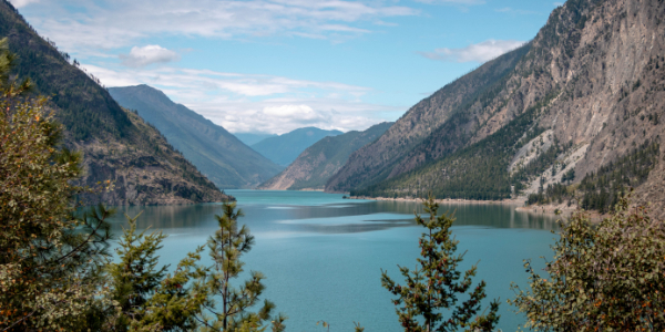
Find other amazing hiking regions in British Columbia
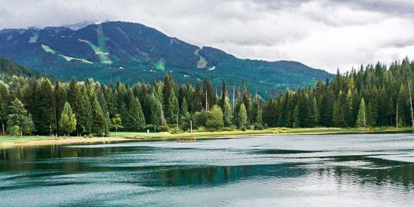
- Whistler
- Kootenay National Park
- Glacier National Park
- Mount Revelstoke National Park
- Yoho National Park
- Strathcona Provincial Park
The best hikes in North Thompson Valley
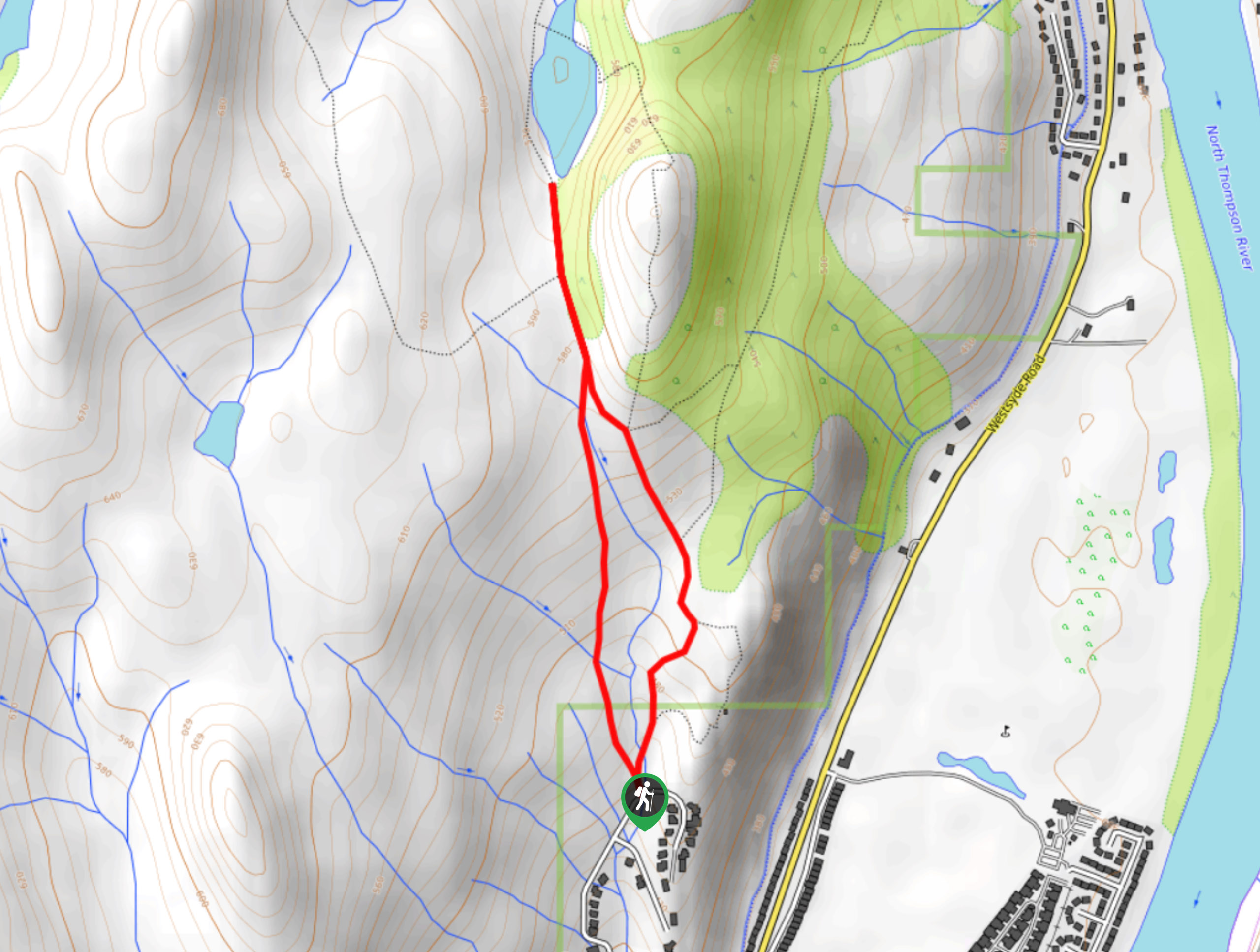
01. Stake Lake Cartwheel Trail
Difficulty
The Stake Lake Cartwheel Trail is a 1.6mi hiking circuit within McConnell Lake… Read More
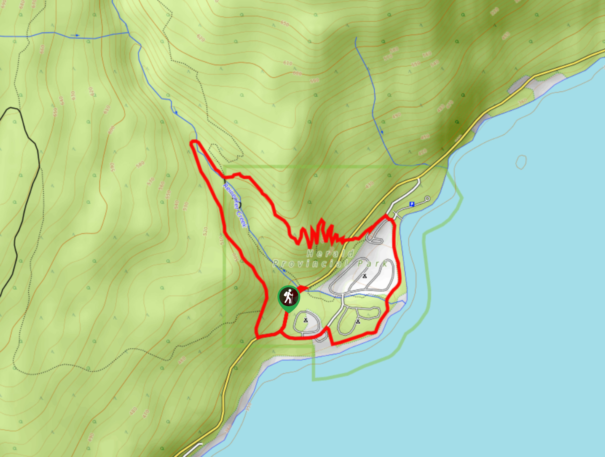
02. Margaret Falls Upper Loop Trail
Difficulty
The Margaret Falls Upper Loop is a 3.4mi hiking circuit in Herald Provincial… Read More
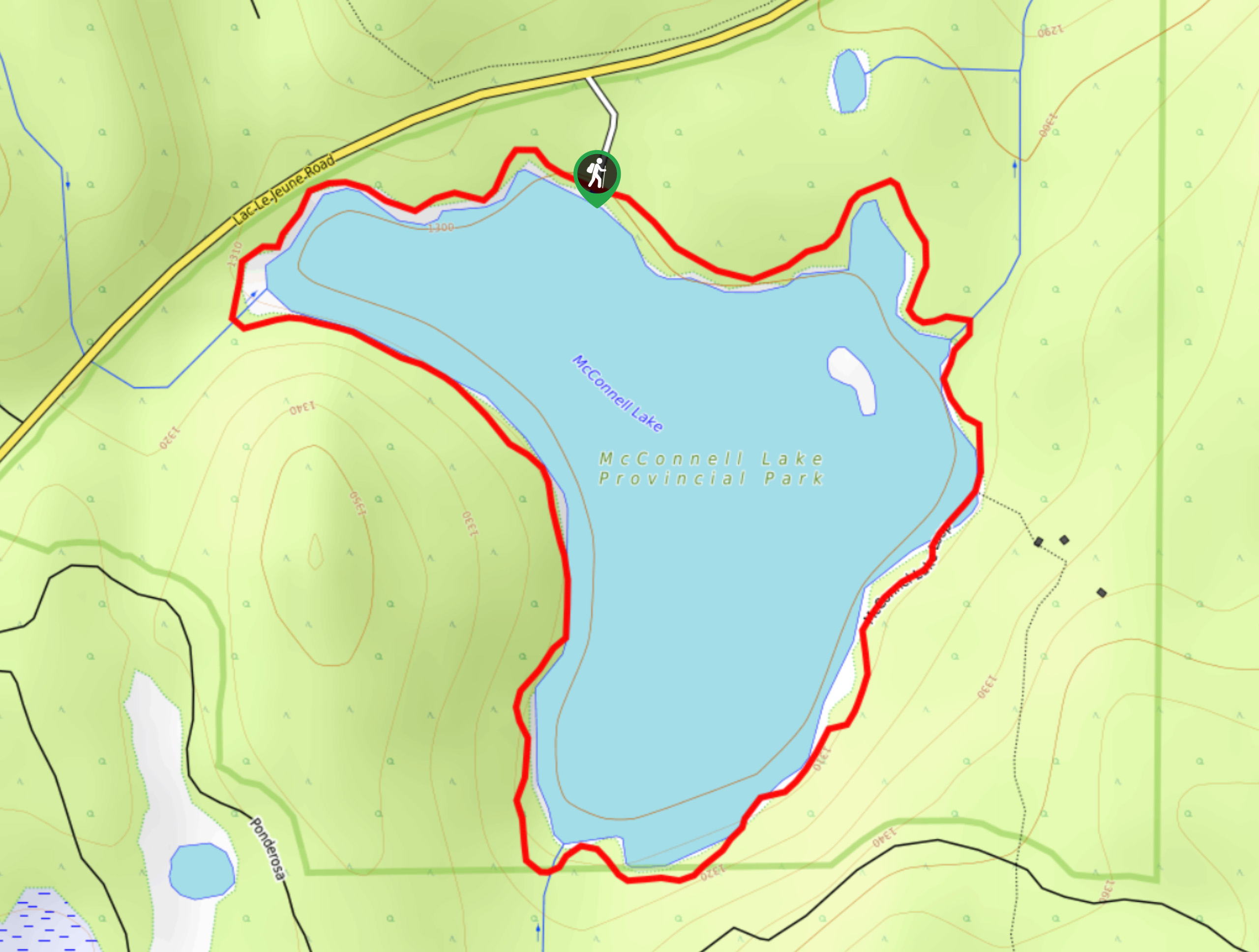
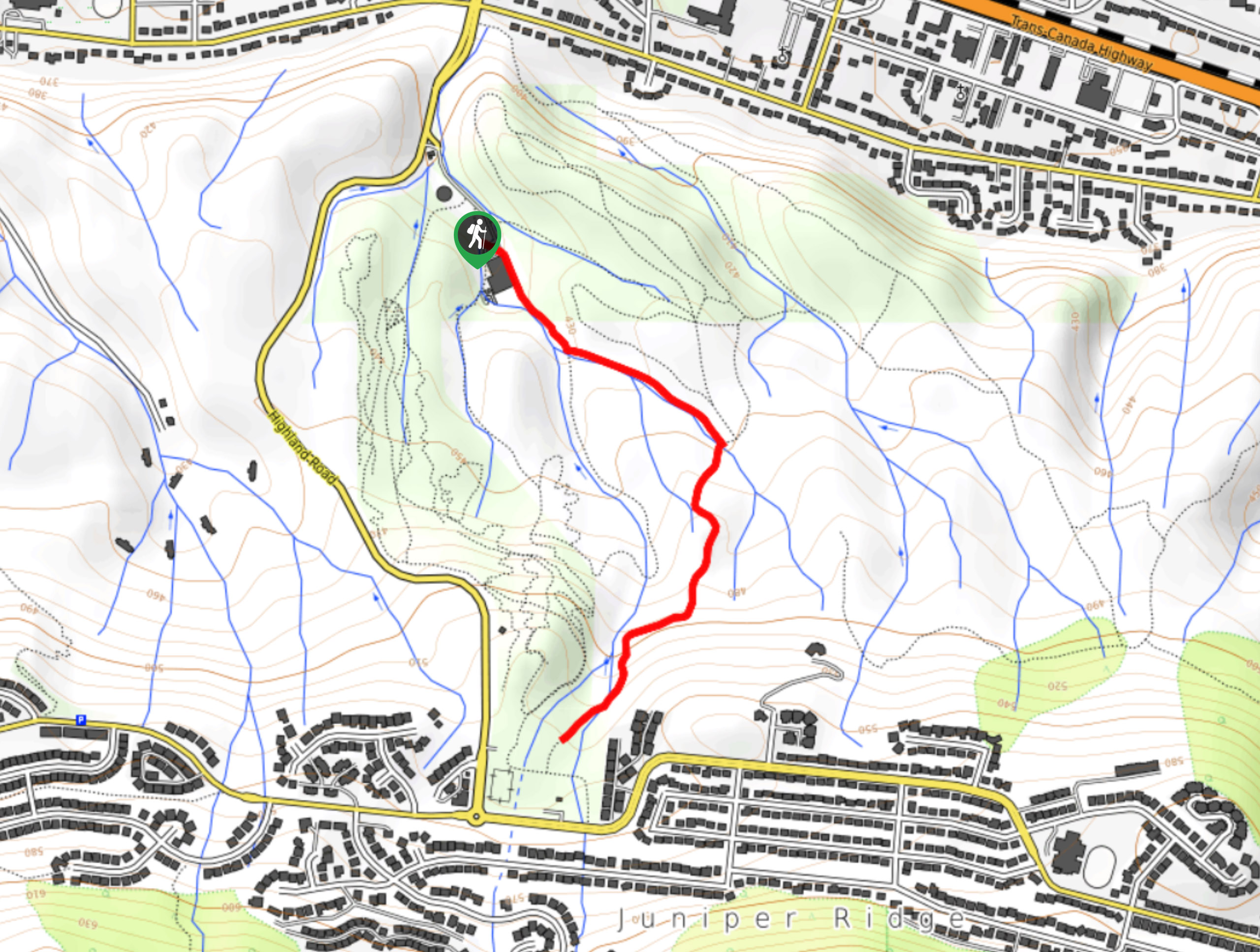
03. McConnell Lake Trail
Difficulty
The McConnell Lake Trail is a 2.3mi hiking circuit south of Kamloops, BC,… Read More
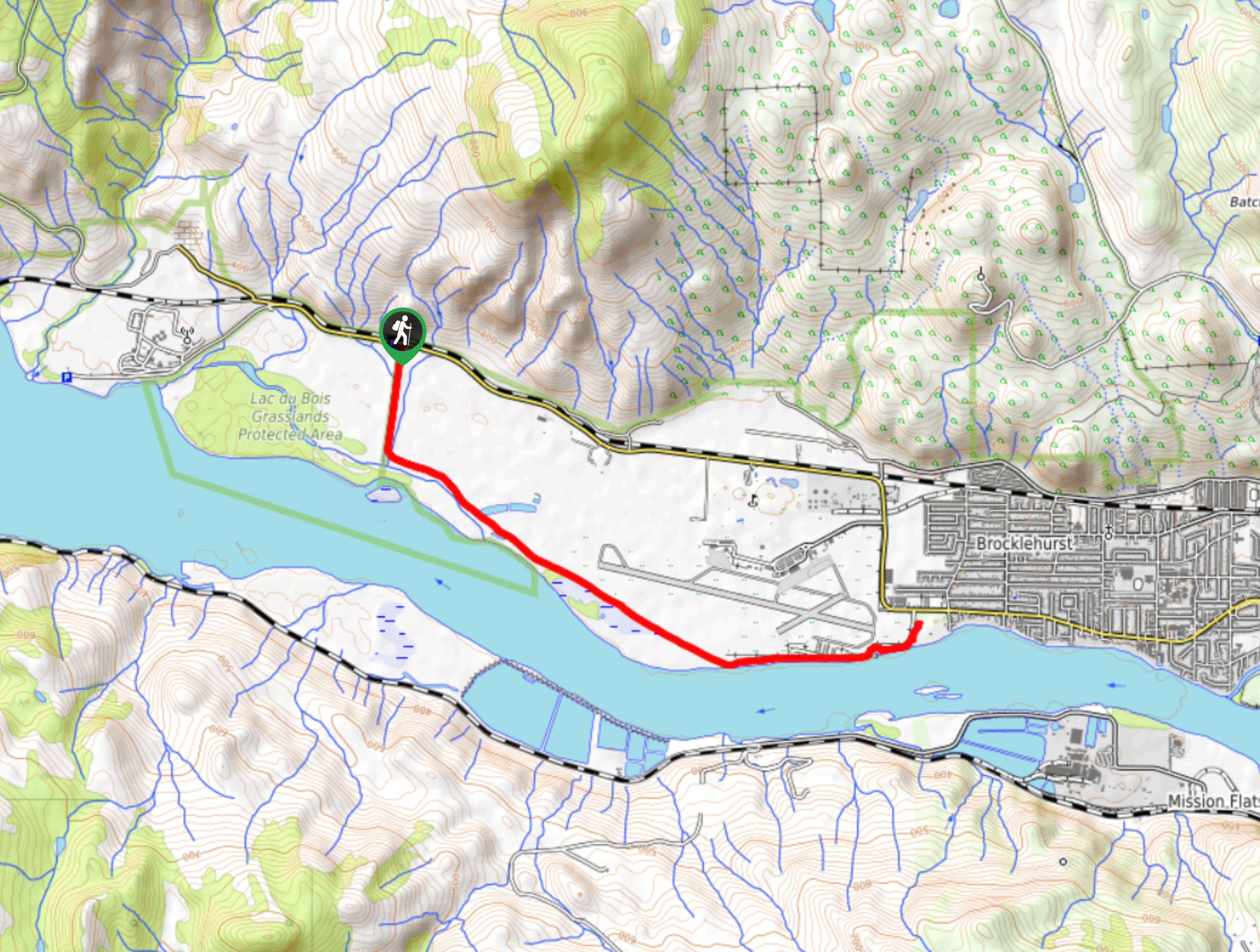
04. Lac du Bois Hike
Difficulty
The Lac du Bois Trail follows a 6.4mi out-and-back hiking route in Kamloops,… Read More
05. Lundbom Lake Loop
Difficulty
The Lundbom Lake Loop is a 9.4mi hiking circuit within the Sugarloaf Mountain… Read More
06. Deep Lake Hike
Difficulty
The Deep Lake Hike is a 2.1mi hiking circuit in Kamloops, BC, that… Read More
07. Coyote Crossing Hike
Difficulty
The Coyote Crossing Hike is a 1.8mi out-and-back hiking route in Kamloops, BC… Read More
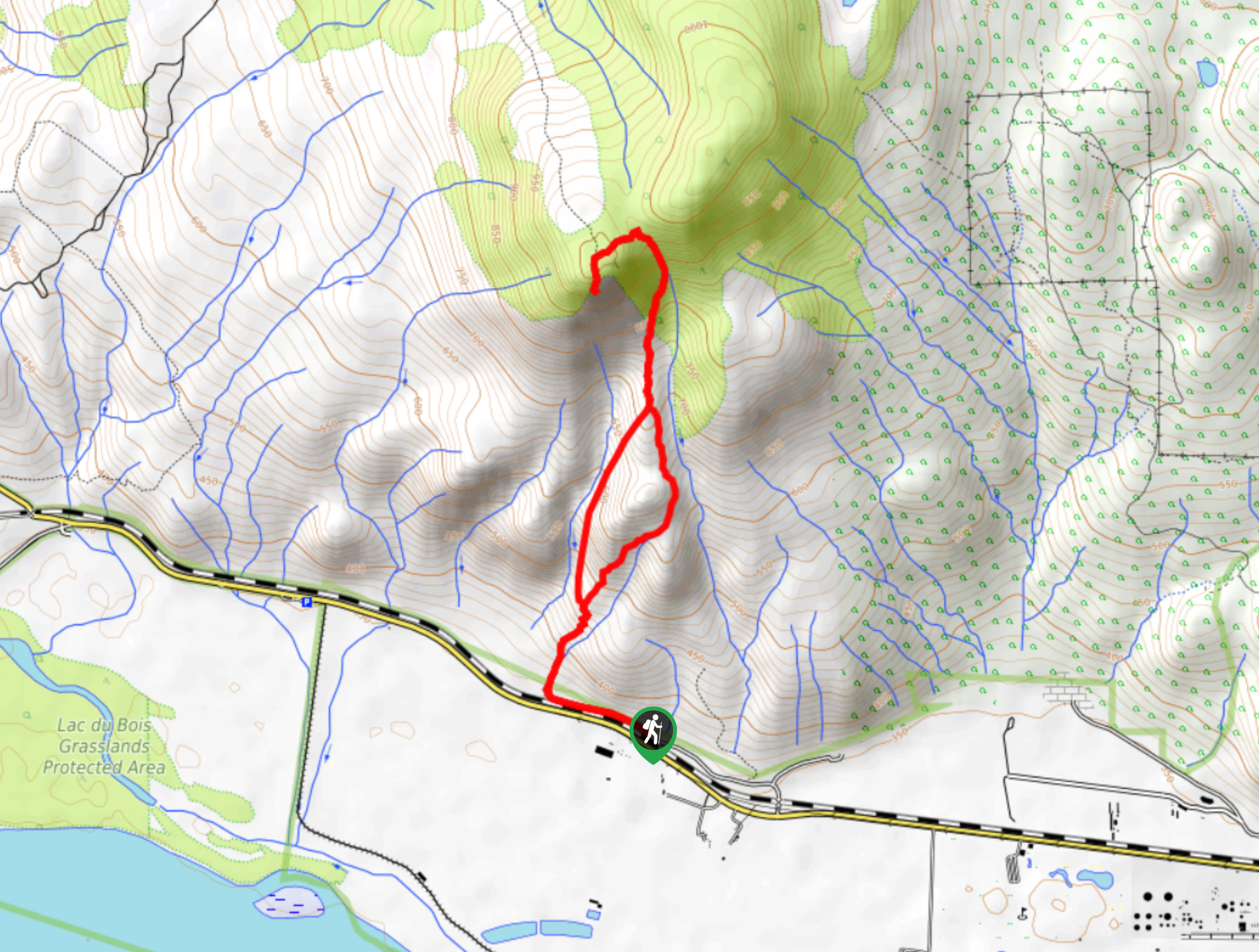
08. Battle Bluff Trail
Difficulty
The Battle Bluff Trail is a 3.3mi out-and-back hiking route in Kamloops, BC… Read More
09. Rivers Trail
Difficulty
The Rivers Trail is a 8.0mi out-and-back hiking route in Kamloops, BC, that… Read More
10. McGillivray Lake Trail
Difficulty
The McGillivray Lake Trail is an 5.3mi lollipop hiking route that sets out… Read More
Yes, there are more than 10
North Thompson Valley is so beautiful that we can not give you only 10 hikes. So here is a list of bonus hikes in North Thompson Valley that you should take a look at as well
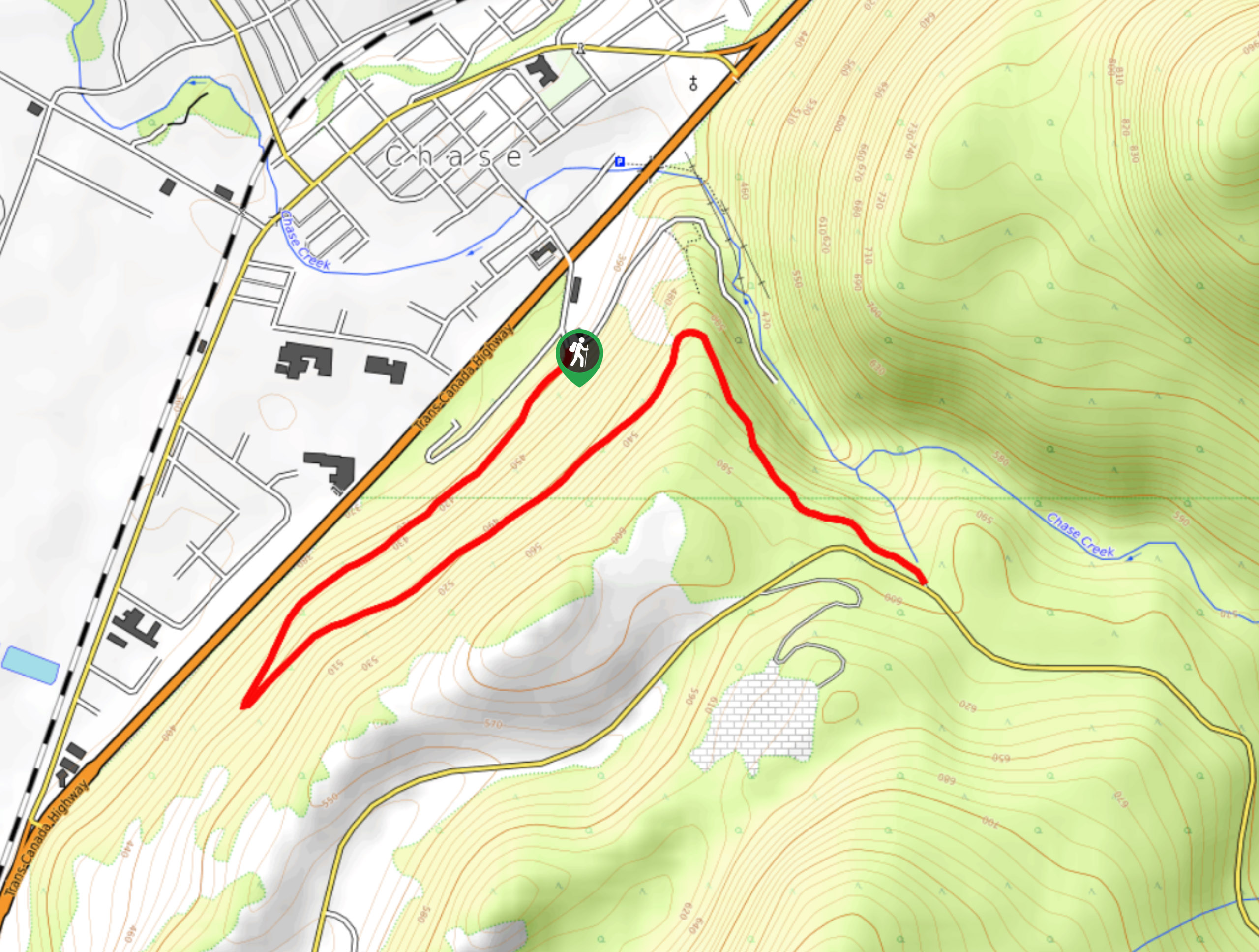
11. Scatchard Mountain Switchbacks
Difficulty
The Scatchard Mountain Switchbacks follow a 4.1mi out-and-back hiking route in Chase, BC,… Read More
12. Tom Moore Trail
Difficulty
The Tom Moore Trail is a 3.0mi lollipop hiking route in Kamloops, BC,… Read More
13. Kenna Cartwright Ridge Trail
Difficulty
The Kenna Cartwright Ridge Trail is a 3.2mi lollipop hiking route in Kamloops,… Read More
14. Red Tailed Hawk Loop
Difficulty
The Red Tailed Hawk Loop is a 3.8mi lollipop hiking route in Kamloops… Read More
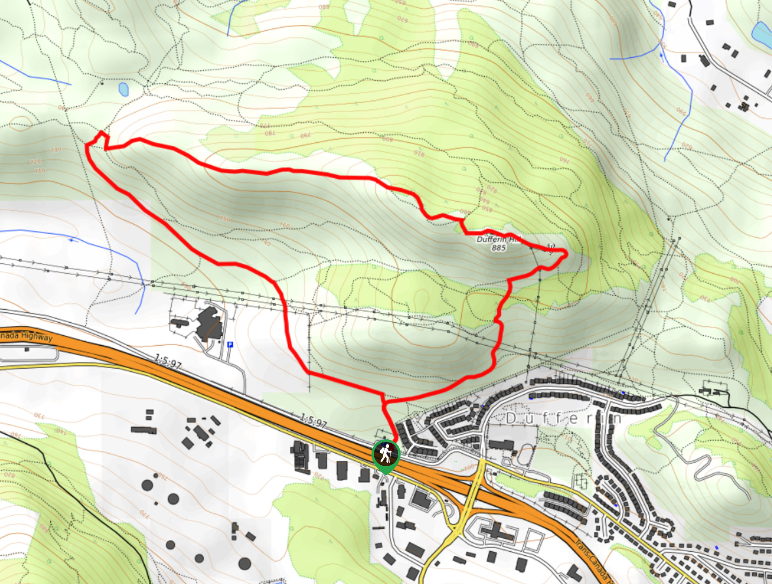
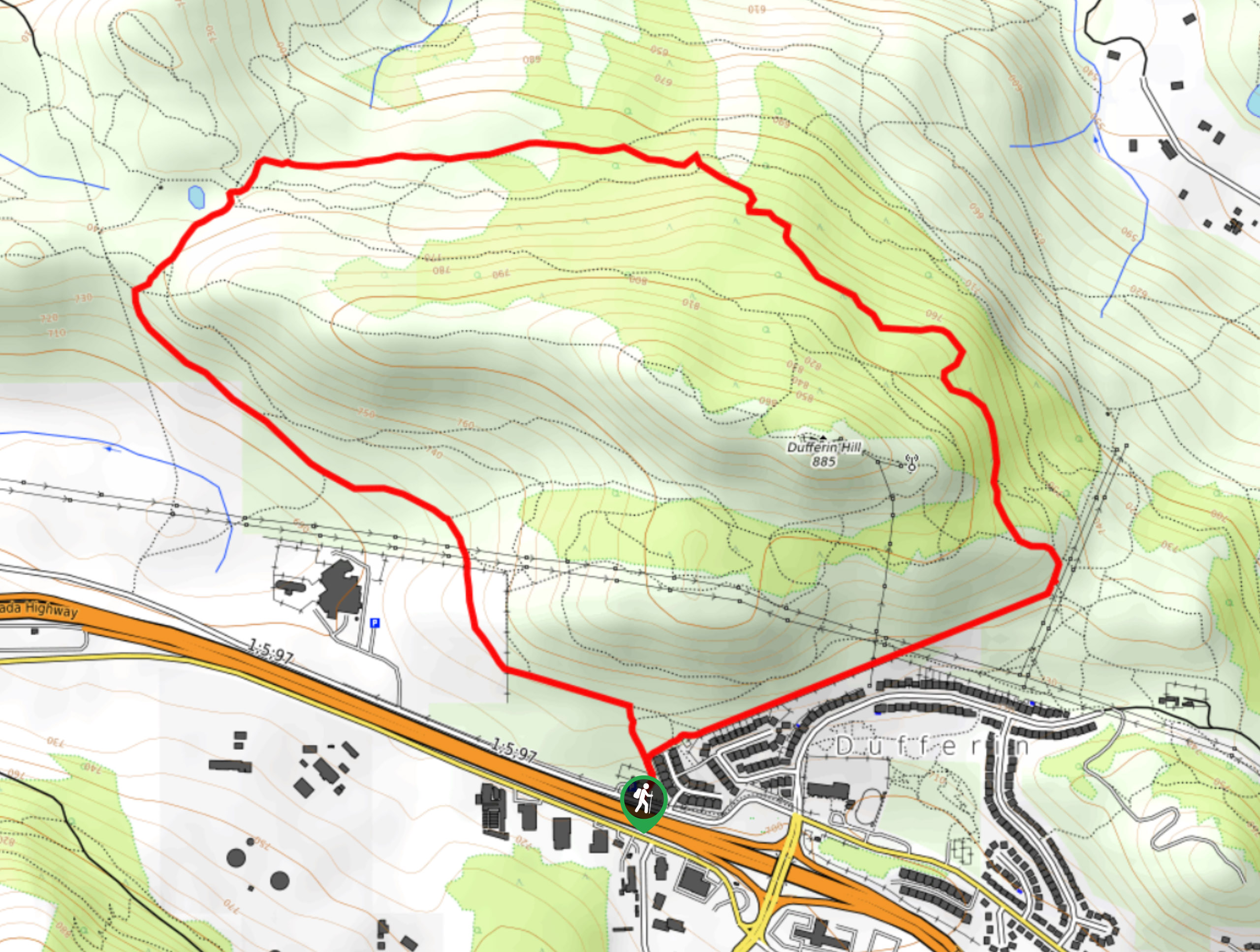
15. Hull Hill Trail
Difficulty
The Hull Hill Trail is a 4.8mi out-and-back hiking route south of Kamloops,… Read More
16. Stake Lake to Ponderosa Trail
Difficulty
The Stake Lake to Ponderosa Trail is a 2.8mi hiking circuit south of… Read More
17. Drifter and Cowpoke Loop
Difficulty
The Drifter and Cowpoke Loop is a 6.6mi hiking circuit south of Kamloops… Read More
18. Mara Mountain Cliffs South Hike
Difficulty
The Mara Mountain Cliffs South is a tough lollipop hiking route in Kamloops that climbs… Read More
19. Mara Loop Trail
Difficulty
The Mara Loop Trail is a scenic hiking circuit in Kamloops, BC, that winds through… Read More
20. Dewdrop Range Trail
Difficulty
The Dewdrop Range Trail is a 9.2mi out-and-back hiking route near Kamloops that… Read More
21. Hoodoo Mara Mountain Connector Trail
Difficulty
The Hoodoo Mara Mountain Connector is a challenging 4.7mi lollipop hiking route within… Read More
22. Lac du Bois Tower Loop
Difficulty
The Lac du Bois Tower Loop is a 4.0mi hiking circuit northwest of… Read More
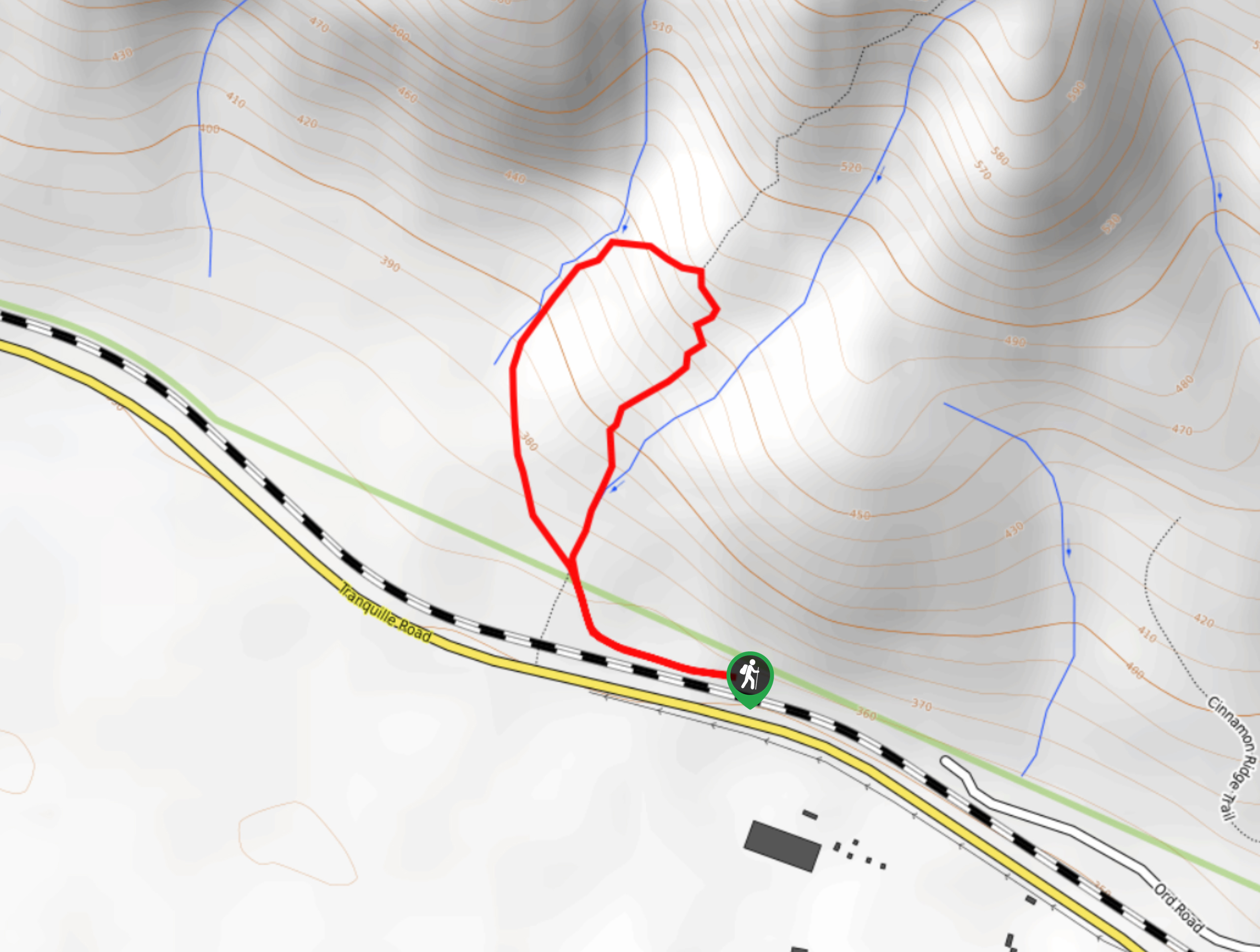
23. Cinnamon Ridge Trail
Difficulty
The Cinnamon Ridge Trail is a 1.1mi lollipop hiking route in Kamloops that… Read More

24. Sun Peaks Hike
Difficulty
The Sun Peaks Hike is a 4.6mi lollipop route at the Sun Peaks… Read More
25. Old Mills Trail
Difficulty
The Old Mills Trail is a 2.8mi out-and-back hiking route northeast of Kamloops… Read More
26. Beacon Hill Trail
Difficulty
The Beacon Hill hike is a 39.8mi lollipop route just outside of Kamloops… Read More
27. Gibraltar Rock from Paul Lake Hike
Difficulty
The Gibraltar Rock from Paul Lake Hike is a 3.8mi out-and-back route north… Read More
28. Gibraltar Rock via Bluff Trail
Difficulty
Hiking to Gibraltar Rock via the Bluff Trail follows a 2.5mi out-and-back trail… Read More
29. Gibraltar Rock
Difficulty
The trek to Gibraltar Rock follows a 2.0mi out-and-back trail that sets out… Read More
30. Raft Peak Trail
Difficulty
The Raft Peak Trail is a 4.0mi out-and-back hiking route northeast of Clearwater,… Read More
31. Community Trail
Difficulty
The Community Trail is a 8.3mi point-to-point hiking route just north of Kamloops,… Read More
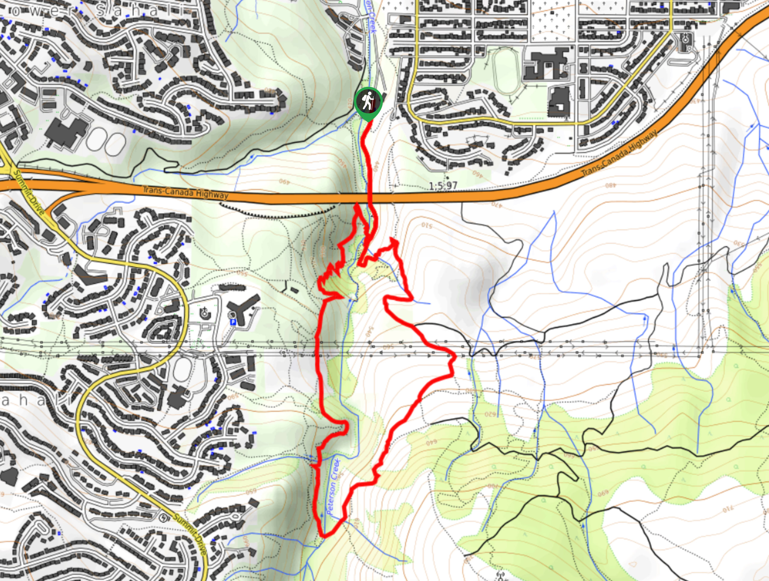
32. Embleton Mountain Loop
Difficulty
The Embleton Mountain Loop is an 5.2mi lollipop hiking route northeast of Kamloops… Read More
33. Doc Findlay Loop
Difficulty
The Doc Findlay Loop is a 1.6mi hiking circuit in Kamloops that passes… Read More
34. Altitude Trail
Difficulty
The Altitude Trail is a 5.6mi lollipop hiking route at the Sun Peaks… Read More
35. Sun Peaks Loop Trail
Difficulty
The Sun Peaks Loop Trail is a 5.6mi lollipop hiking route at the… Read More
36. Armour Mountain Trail
Difficulty
The Armour Mountain Trail is a 3.9mi lollipop hiking route that will take… Read More
Are we missing your favourite hike?
Tell us! If you've got photos, a GPS track and know the hike, we'd love to share your favourite hike with the rest of the 10Adventures community.