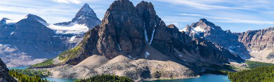
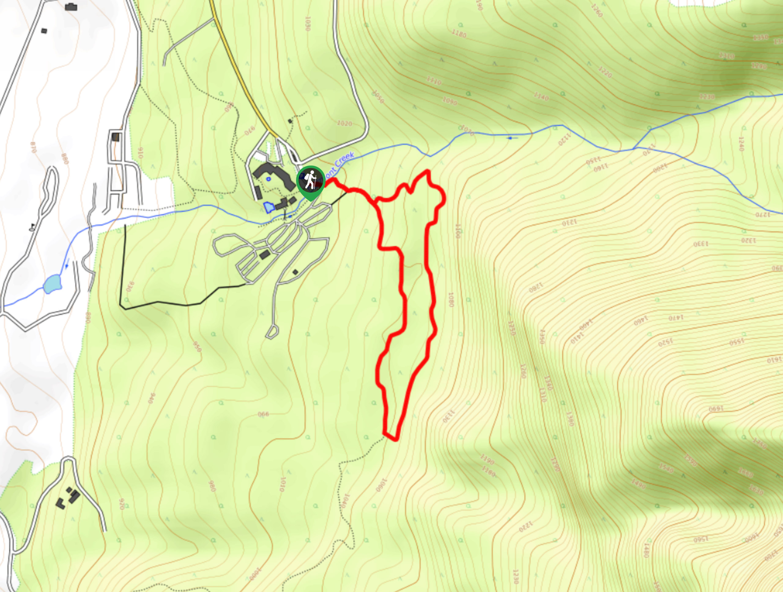
hikes in Invermere
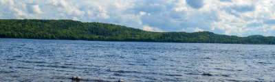
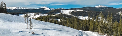
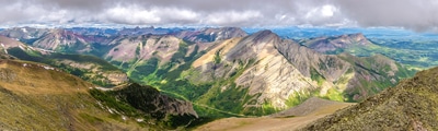
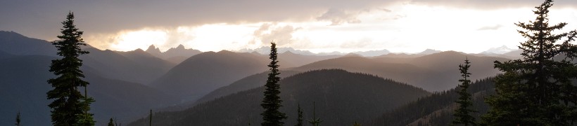
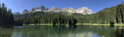
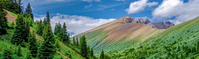
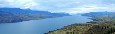
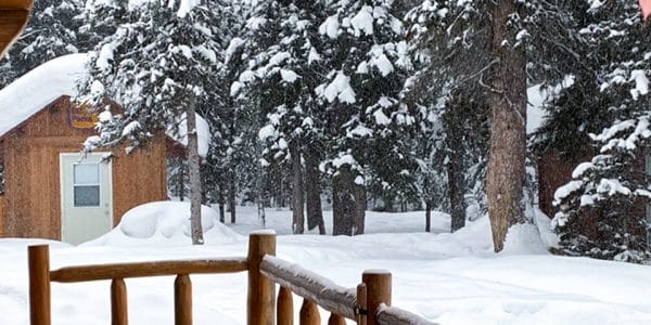
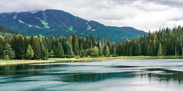
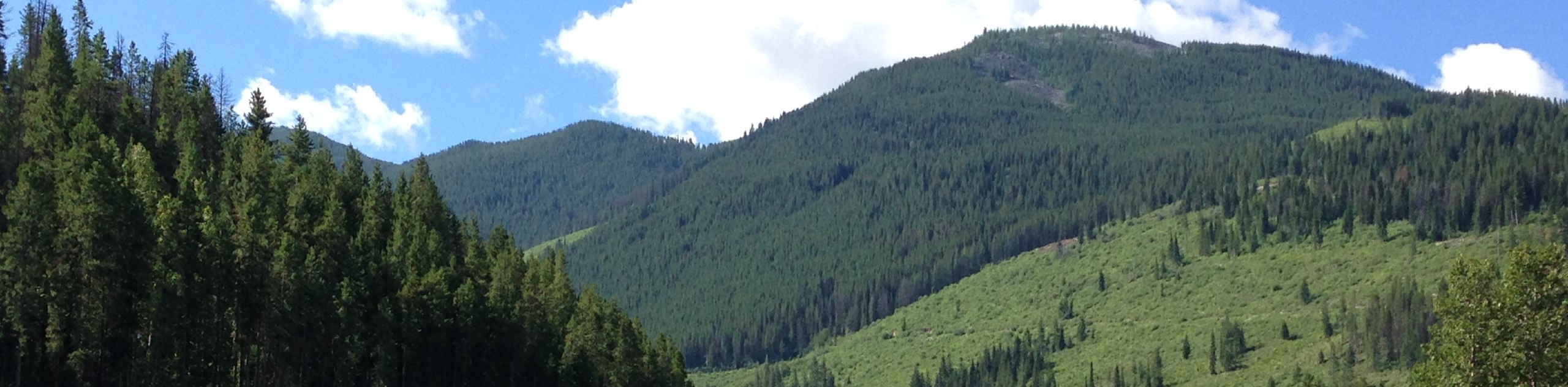
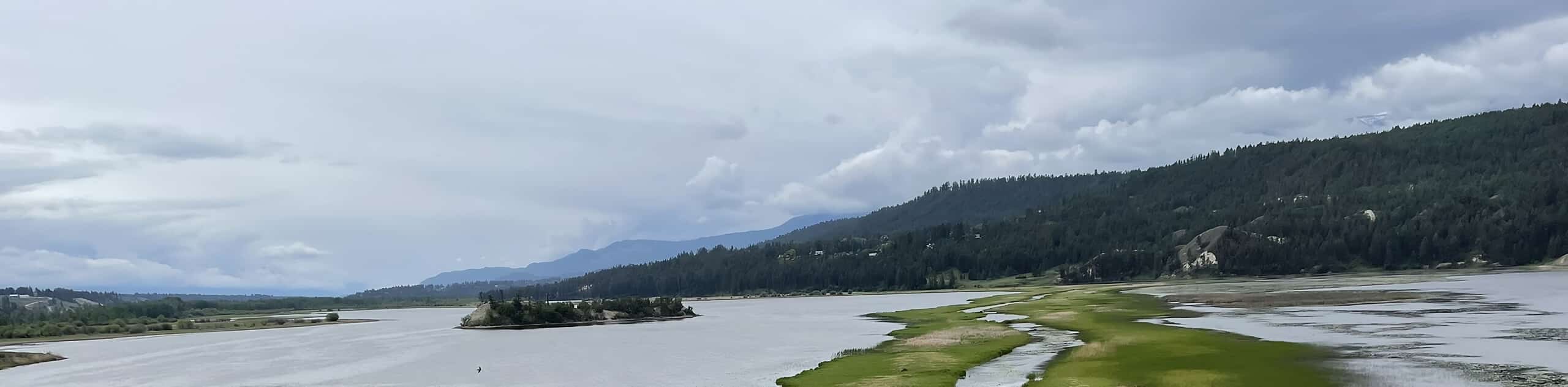
Located in the heart of the Columbia Valley in southwestern British Columbia, Invermere and the surrounding district is a beautifully scenic area that seems to be tailor made for exploring the outdoors. Nestled between the Purcell and Rocky Mountains, Invermere is largely shielded from Arctic weather patterns, creating a climate that is warm in the summer and cool in the winter. This means that, no matter the season, you will always find conditions favourable for whatever activity you set out to accomplish.
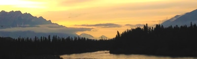
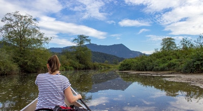
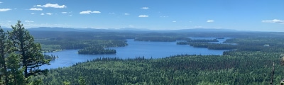
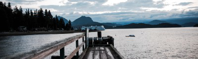
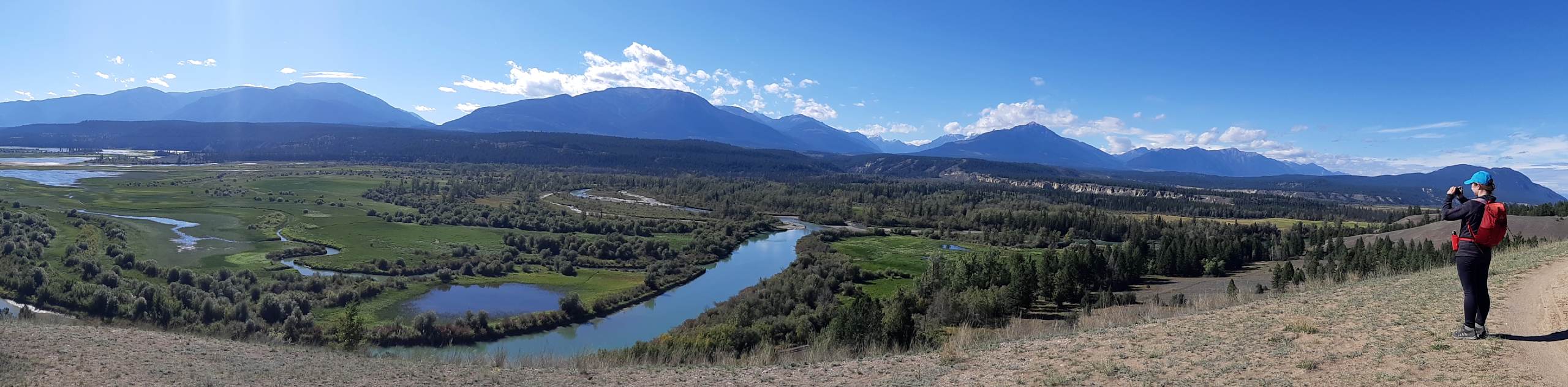
A popular destination for tourists and holiday home owners from both Alberta and British Columbia, Invermere offers a wide range of activities that can be sought out year-round. From hiking, biking, and boating on the waters of Windermere Lake in the summer, to skiing and skating on the world’s longest ice skating trail; there will always be plenty of memories to create on a trip to Invermere. The town’s central location between the cities of Golden and Cranbrook makes it easily accessible and the ideal place from which you can explore the amazing terrain that can be found along the Rocky Mountain Trench.
The Most Stunning Hikes in Invermere
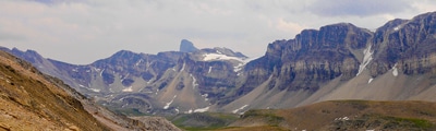
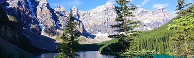
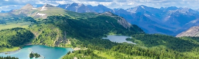
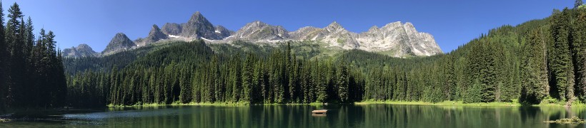
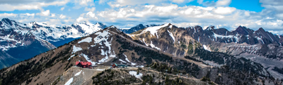
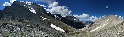
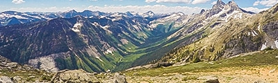
Regardless of your comfort level or experience with exploring the outdoors, Invermere and the surrounding area offers a wealth of hiking routes that range from a quick stroll in the park to an intense summit experience. Located just to the west of the city in the middle of the Purcell Mountains, the Panorama Mountain Resort provides a great opportunity for casual and experienced hikers to get out in the mountains while remaining in close proximity to important amenities. Back in town, you will have plenty of options for exploring the lush landscapes of the Columbia River Valley and Windermere Lake, with the added possibility of exploring the rugged Rockies just east of town. If you aren’t sure where to start, we’ve put together this list of some of our favourite hiking routes that can be found in and around the beautiful town of Invermere:
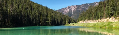
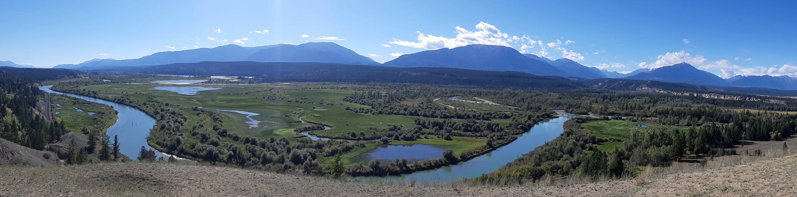
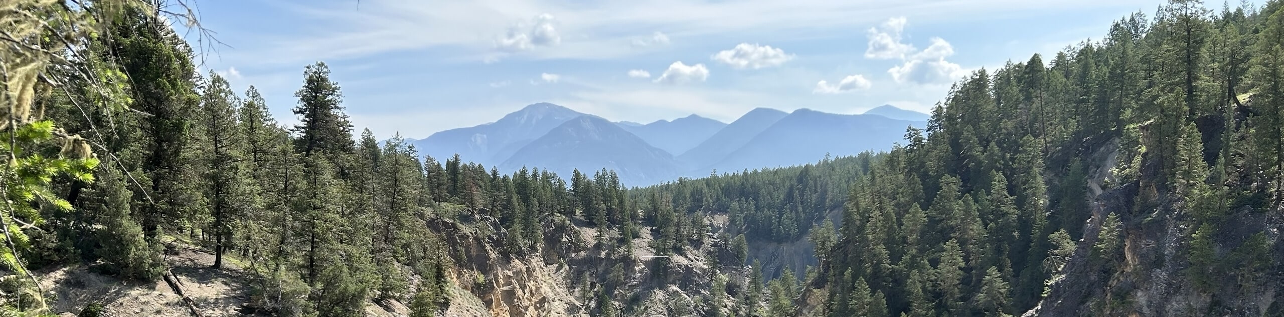
- Deja Vu/Old Coach Trail Loop: This 9.6mi trail is a conglomeration of several different routes along the Columbia River Escarpment. While out on the trail, you will have stunning views of the nearby Purcell Mountains, as well as the winding Columbia River.
- Panorama Mountain Village Trail: Hiking this route is a pleasant experience in the Purcell Mountains due to its close proximity to the amenities of the Panorama Mountain Resort. You will need to either hike up the mountain or take the chair lift to reach the trailhead; however, the beautiful subalpine views will be well worth it.
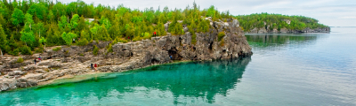
- Hoodoo Trail: This short hiking route just south of Invermere will take you to a scenic lookout atop a cliff, where you will enjoy some amazing views of the Columbia River and surrounding mountain peaks. This is a great hike for casual/beginner hikers that enjoy scenic views for little effort.
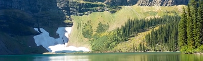
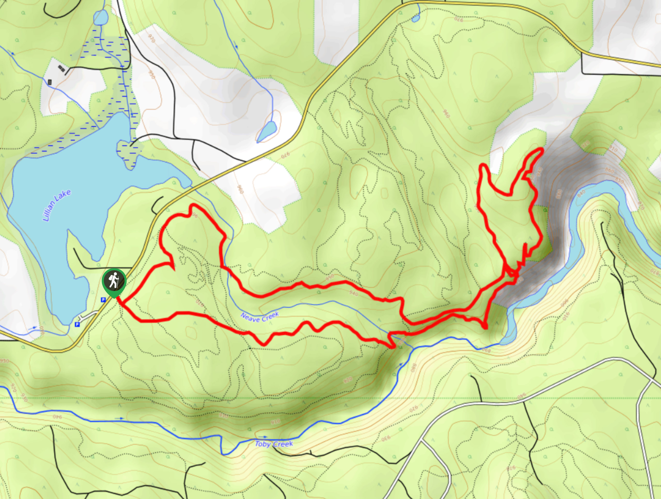
- Jumbo Pass Trail: Hiking the Jumbo Pass Trail is a fun adventure that will take you up to a charming lakeside cabin set in the alpine. A high clearance vehicle will be needed to navigate the rough road into the trailhead.
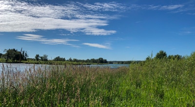
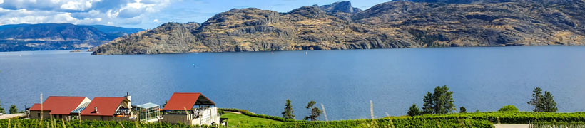
- Apple Pie Loop: This moderate-length trail is part of a strong network of hiking pathways that will see you climb up to a beautiful lookout over Windermere Lake. While you might need a GPS for navigation, the amazing backdrop of mountainous terrain makes this a worthwhile trek.
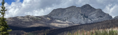
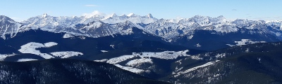
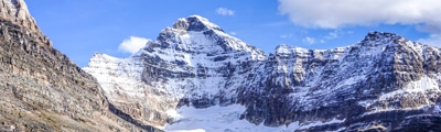
- Mount Nelson Trail: Trekking along this rough and rugged trail is recommended for experienced hikers only, due to the challenging nature of the terrain. That being said, the beautiful landscape of the Purcell Mountains and the breathtaking panoramic views from the top of the trail make this a must-do hike if you are experienced enough.
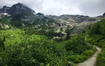
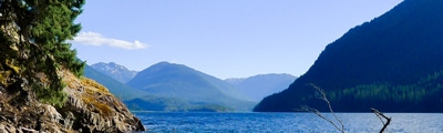
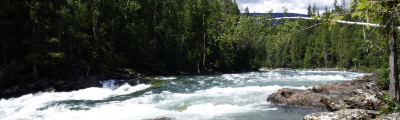
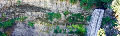
- Lower Bugaboo Falls: A short adventure just to the northwest of Invermere, the Lower Bugaboo Falls will take hikers to the location of a scenic waterfall. Parking here is fairly limited, so make sure to arrive early to secure a spot and beat the crowds.
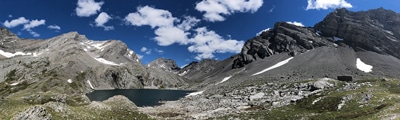
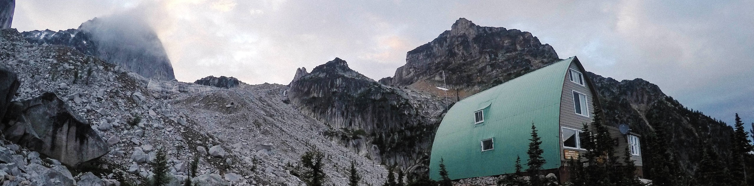
- Conrad Kain Hut Trail: This out-and-back journey is a wonderful route that will take you uphill along some rugged terrain to reach a location with some truly awe-inspiring views of nearby peaks. Pair this one with a fun overnight stay at the hut or nearby campground.
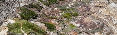
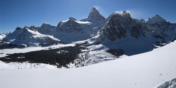
- Mount Aeneas: Taking you uphill through Pedley Pass, this rocky and technical route will require you to bring helmets and poles to safely traverse the scree slopes along the trail. Your effort will absolutely be rewarded, as you will receive breathtaking views over nearby mountains. A 4x4 vehicle is needed for this adventure.
- Mount Swansea Double Peak Loop: A challenging and popular hiking route in the Invermere area, this trail will see you climb uphill for a commanding view overlooking Invermere and the surrounding Columbia Valley. This route features some rugged terrain and will require sturdy hiking footwear.
When is the Best Time to Hike in Invermere?
As with most mountain towns, the best time to hike in and around Invermere is during the summer, when the snow has melted, and the trail conditions are dry enough to allow you to fully explore the breathtaking landscapes that are on offer here. Where Invermere differs slightly from other areas further east is in the fact that it is sheltered from Arctic weather patterns, meaning the climate here is a bit more on the mild side. As such, spring will arrive earlier in Invermere than it will in other parts of the Rockies, slightly extending the window of favourable hiking weather to allow outdoor enthusiasts the chance to maximize their time spent exploring the wild.
Other Outdoor Activities in Invermere
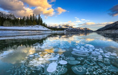
With an abundance of rivers, mountains, lakes, and valleys, there is no real limit on the kind of activities that can be sought out on a trip to Invermere. Winter in the region will likely see you visiting the Panorama Mountain Resort or Fairmont Hot Springs Ski Area to spend some time on the slopes. If downhill winter sports aren’t your thing, you can also test out your cross country skills or try skating the world’s longest ice skating trail - The Lake Windermere Whiteway. During the summer, activities range from hiking and cycling, to water sports on the rivers and lakes that can be found in the valley. With an abundance of outdoor recreation areas and amazing terrain, you certainly won’t be able to fit all the excitement of Invermere into one short trip.
Frequently Asked Questions About Invermere
How far is Invermere from Calgary?
While Invermere is only located 93.2mi from Calgary, the Rocky Mountains present a bit of an obstacle that extends the road distance between these two urban areas to 171.5mi. This makes for a roughly three hour drive.
What valley is Invermere in?
Invermere can be found within the Columbia Valley, the name given to a section of the Rocky Mountain Trench along the Columbia River in between Golden and Canal Flats.
What is the elevation of Invermere, BC?
Nestled within the Columbia Valley between the Rocky and Purcell mountains, the town of Invermere sits at a height of 2162ft above sea level.
Read MoreThe best hikes in Invermere
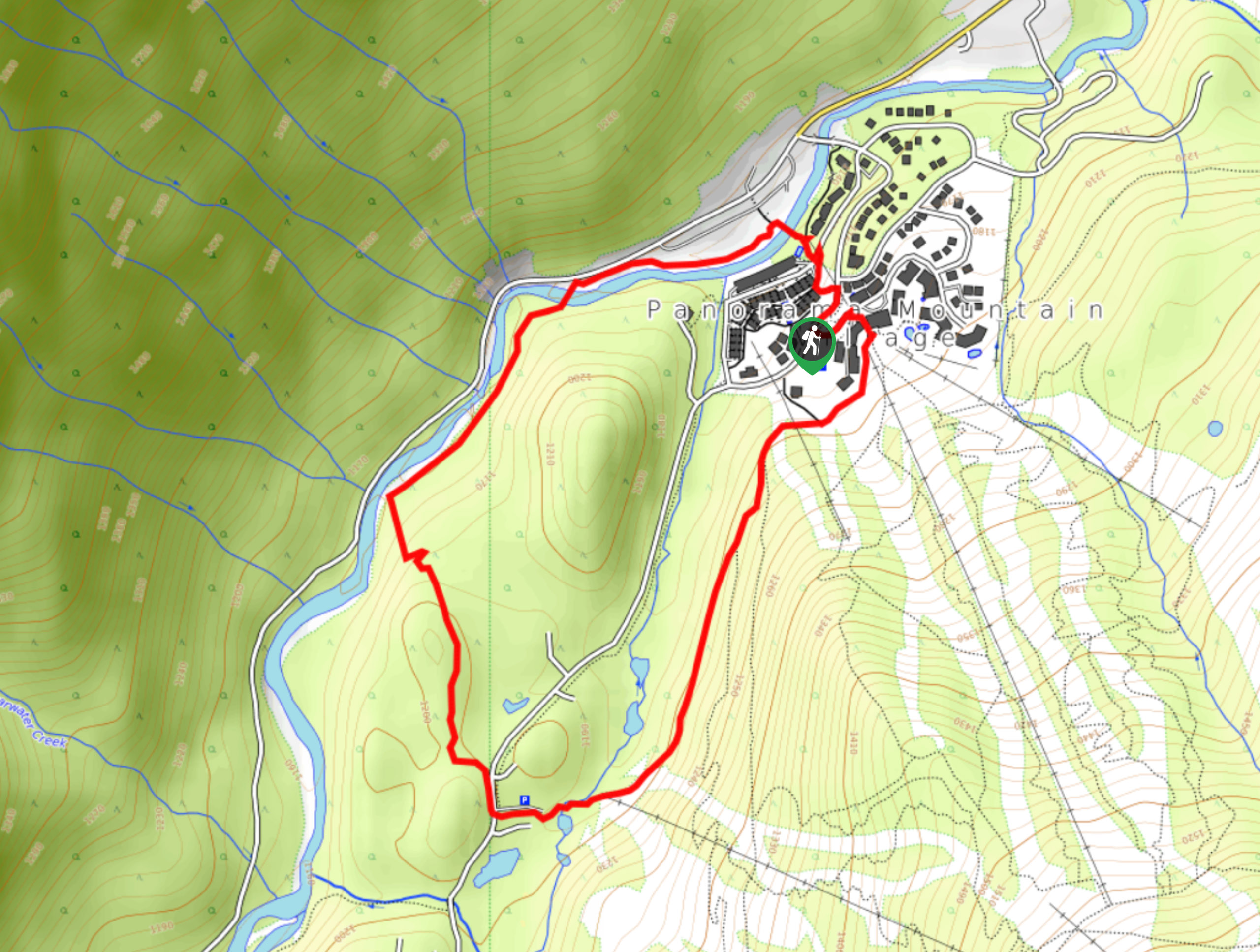
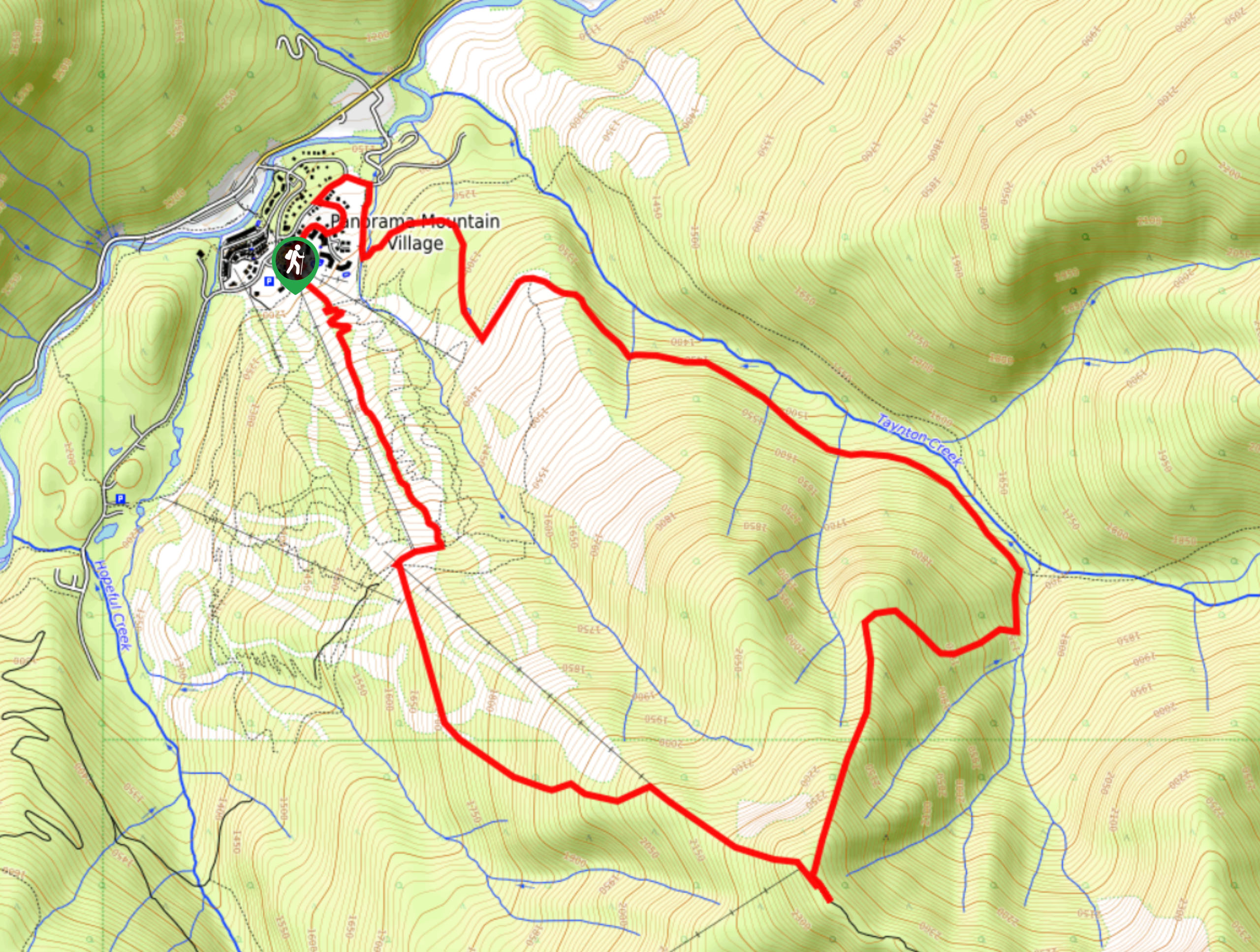
01. Panorama Mountain Village Trail
Difficulty
The Panorama Mountain Village Trail is a 4.0mi hiking loop at the top… Read More
02. Conrad Kain Hut Trail
Difficulty
The Conrad Kain Hut Trail is a 5.6mi out-and-back hiking route near Invermere,… Read More
03. Deja View/Old Coach Trail Loop
Difficulty
The Deja View/Old Coach Trail Loop is a 9.6mi hiking route near Invermere,… Read More
04. Apple Pie Loop
Difficulty
The Apple Pie Loop is a 4.4mi hiking route in Invermere that forms… Read More
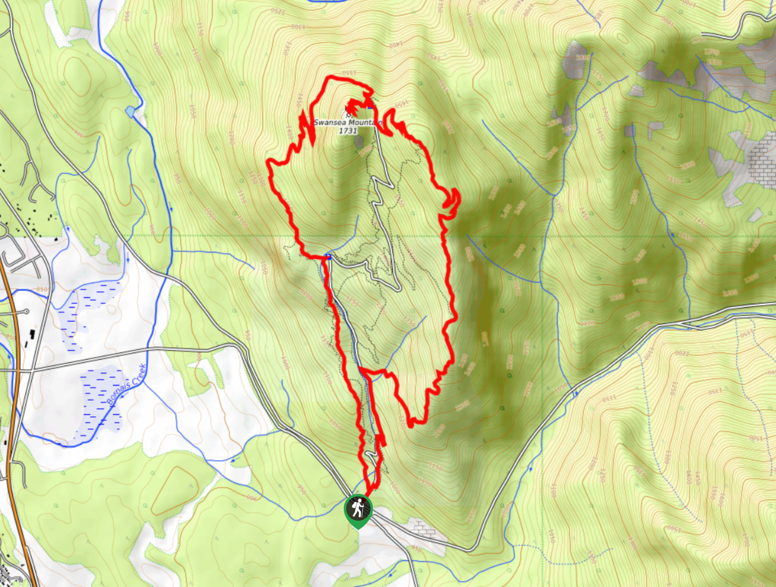
05. Mount Swansea Double Peak Loop
Difficulty
The Mount Swansea Double Peak Loop is a challenging hiking route just outside of Invermere,… Read More
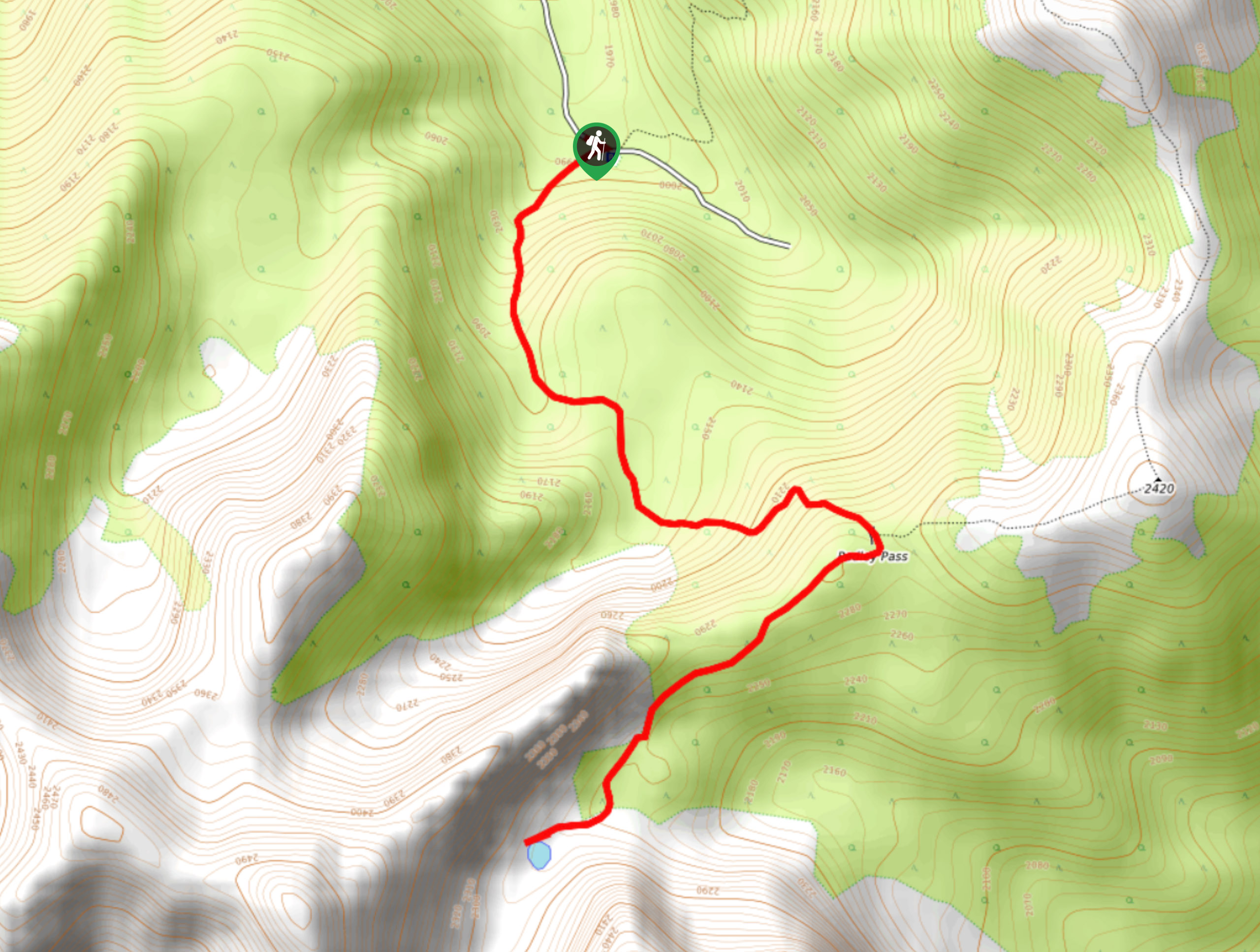
06. Mount Aeneas
Difficulty
The trail up to Mount Aeneas is an 5.3mi out-and-back hiking route that… Read More
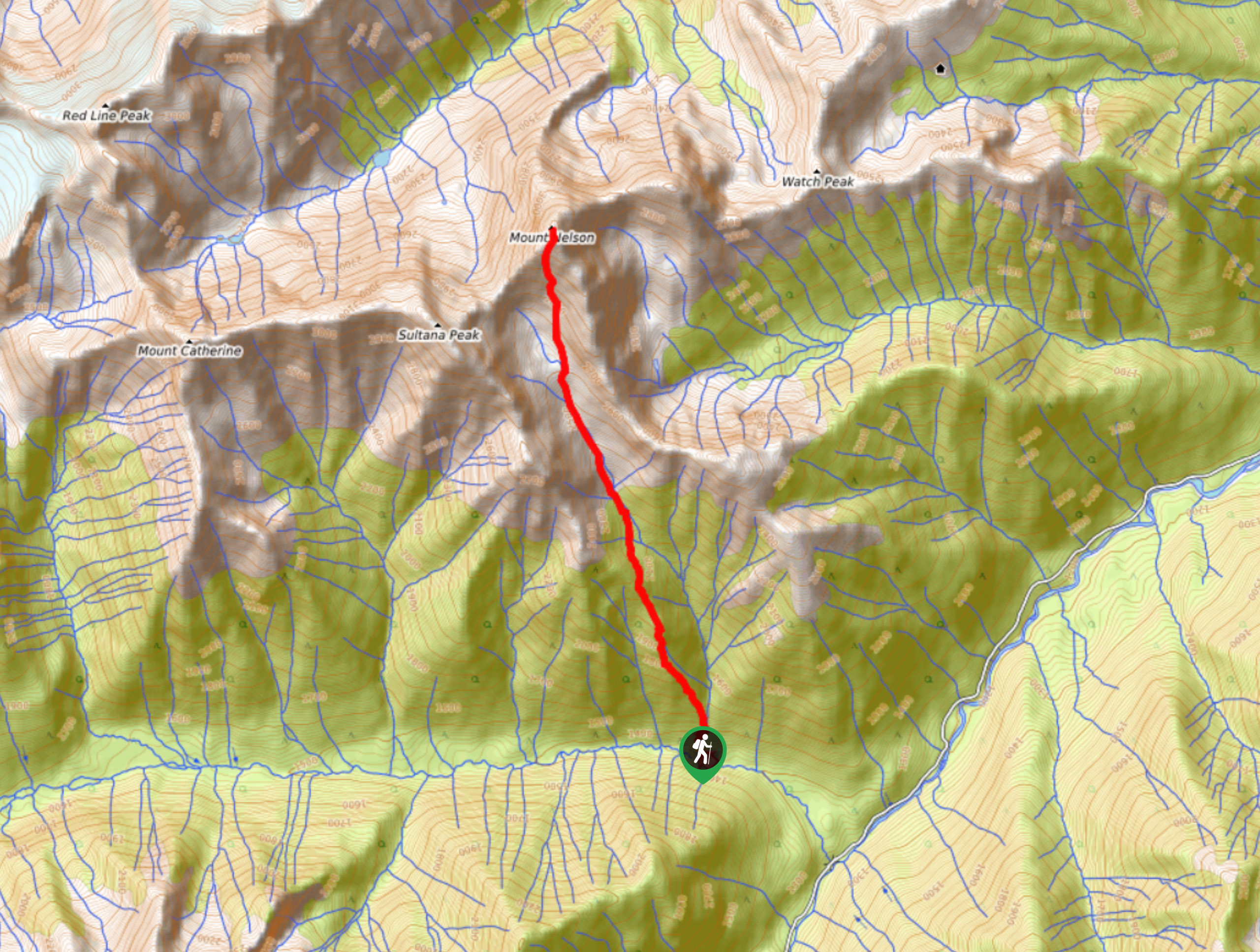
07. Mount Nelson Trail
Difficulty
The Mount Nelson Trail is a rugged and challenging 6.6mi out-and-back hiking route… Read More
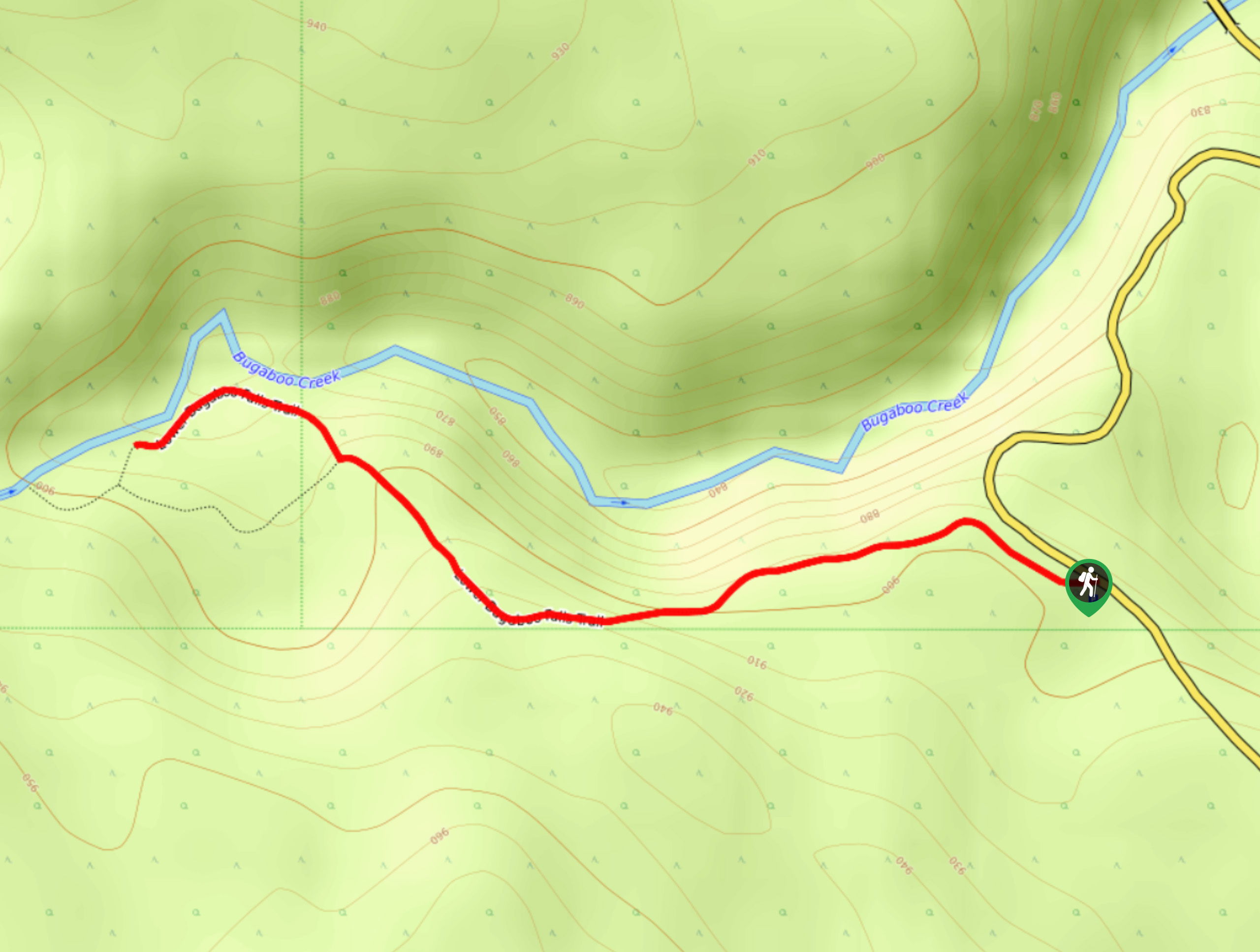
08. Lower Bugaboo Falls
Difficulty
Lower Bugaboo Falls is a 1.6mi out-and-back hiking route northwest of Invermere that… Read More
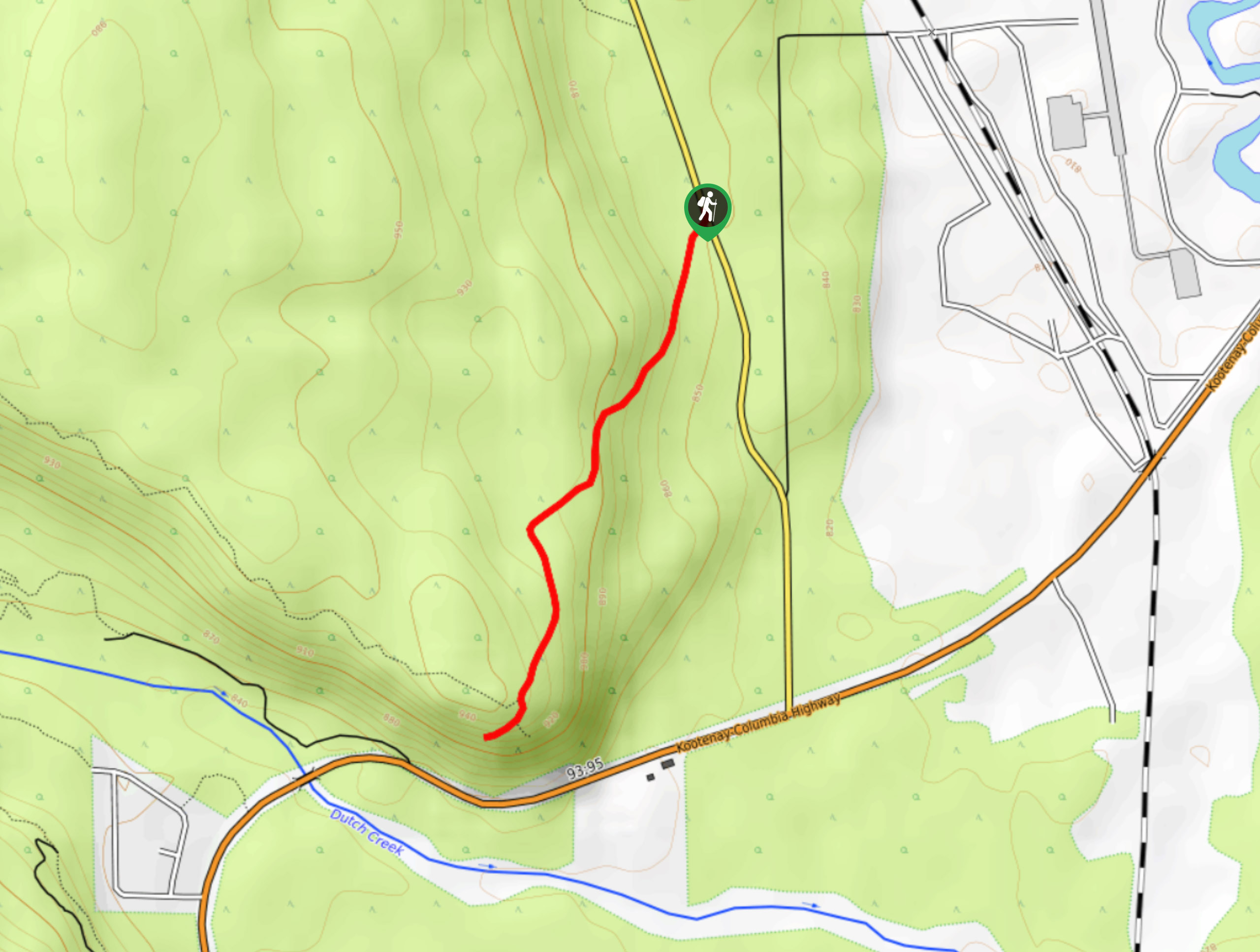
09. Hoodoo Trail
Difficulty
The Hoodoo Trail is a quick 2.0mi out-and-back hiking route south of Invermere,… Read More
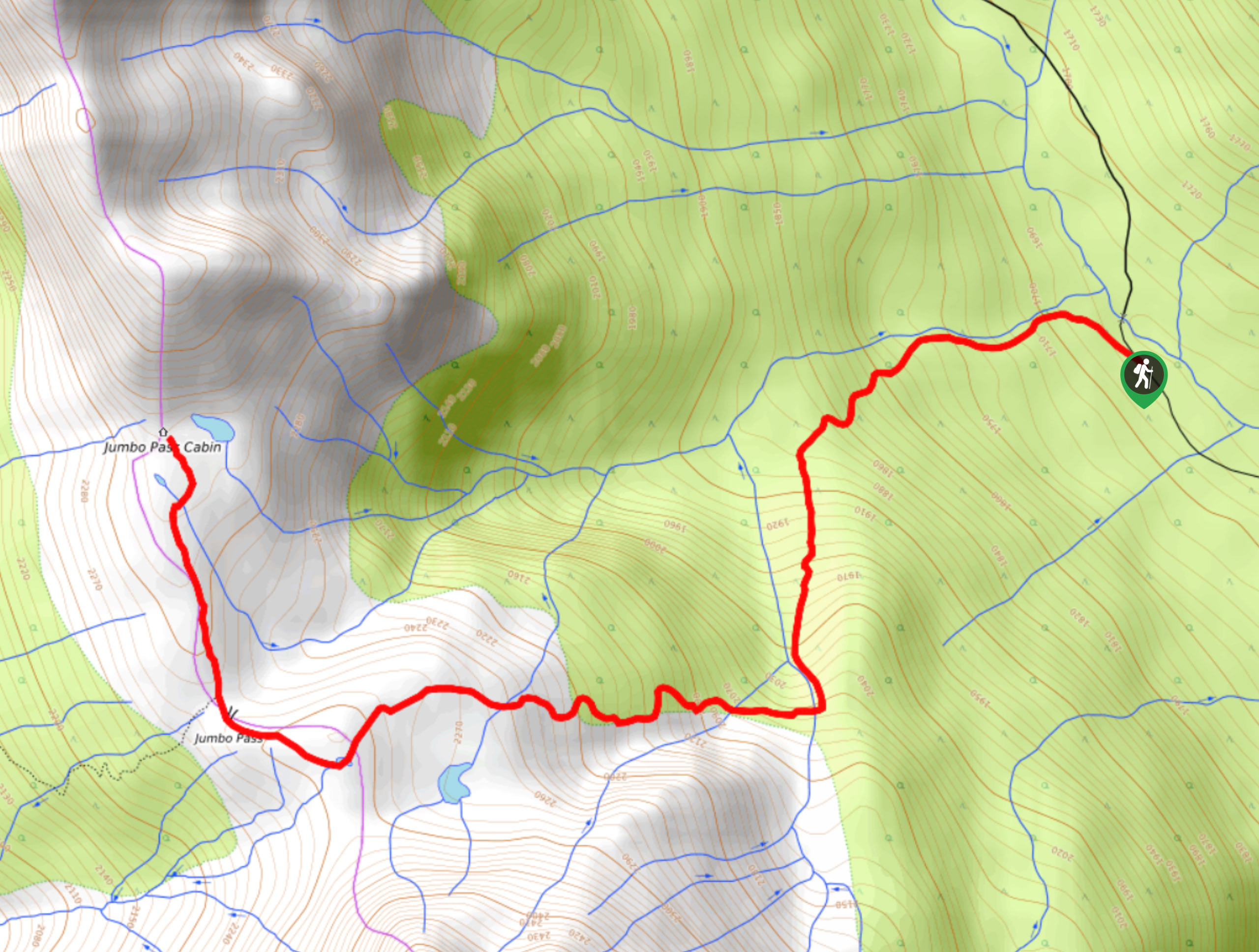
10. Jumbo Pass Trail
Difficulty
The Jumbo Pass Trail is an 5.0mi out-and-back hiking route west of Invermere… Read More
Yes, there are more than 10
Invermere is so beautiful that we can not give you only 10 hikes. So here is a list of bonus hikes in Invermere that you should take a look at as well
11. Old Coach Trail
Difficulty
The Old Coach Road Loop is a 2.9mi hiking route near Invermere, BC,… Read More
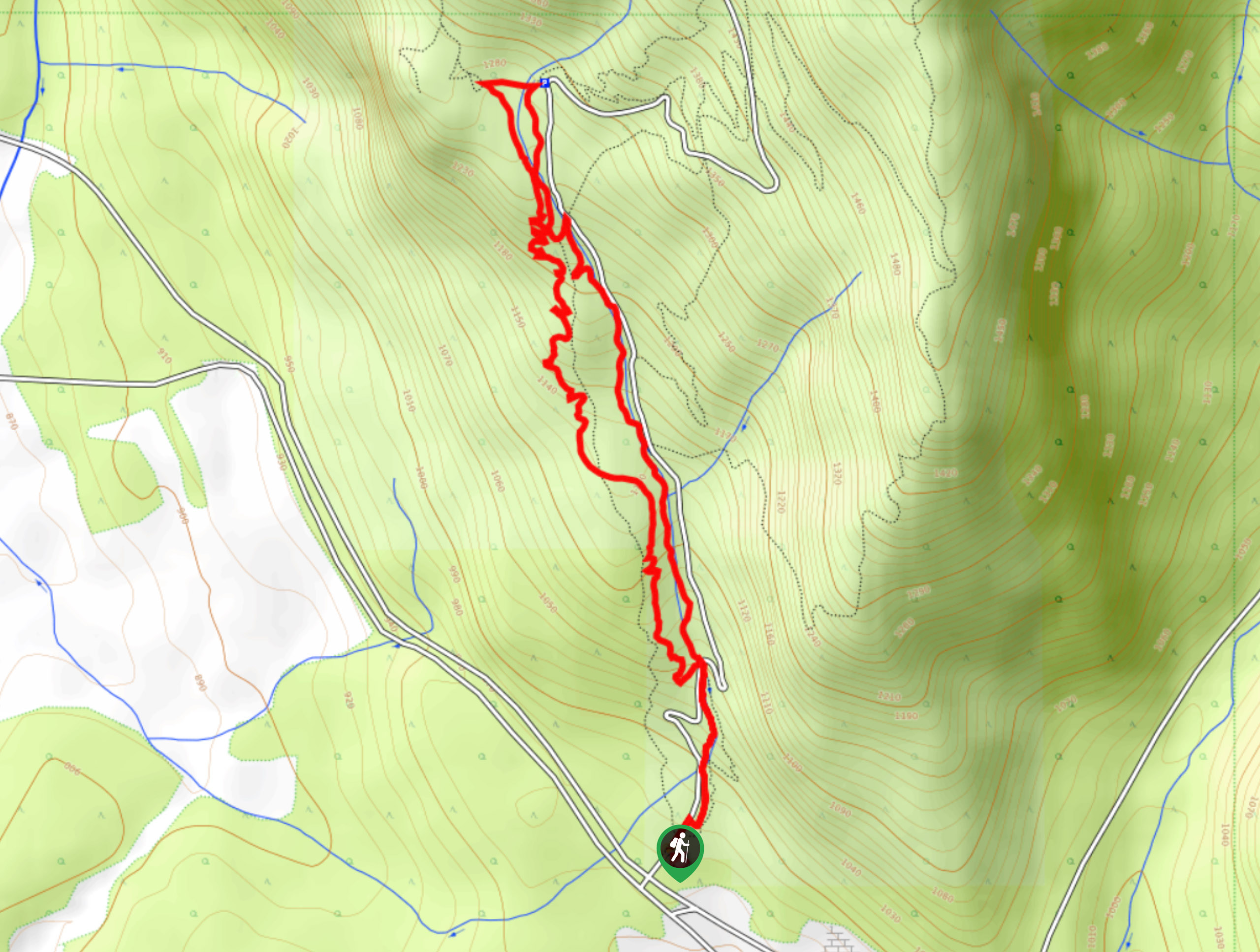
12. The Johnson
Difficulty
The Johnson is a 5.9mi hiking route in Invermere that winds through a… Read More
13. Mount Swansea Tower
Difficulty
Mount Swansea Tower is a 3.8mi lollipop hiking route in the Swansea Mountain… Read More
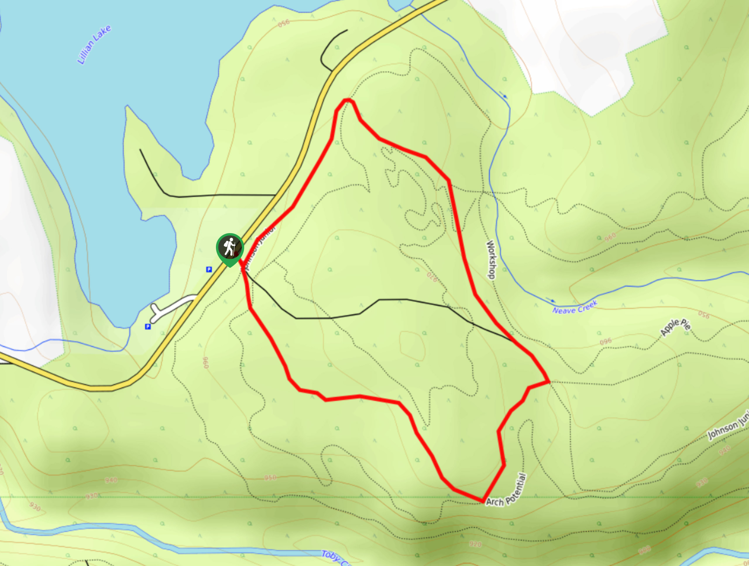
14. The Johnson Junior Loop
Difficulty
The Johnson Junior Loop is a 3.8mi hiking route in Invermere made up… Read More
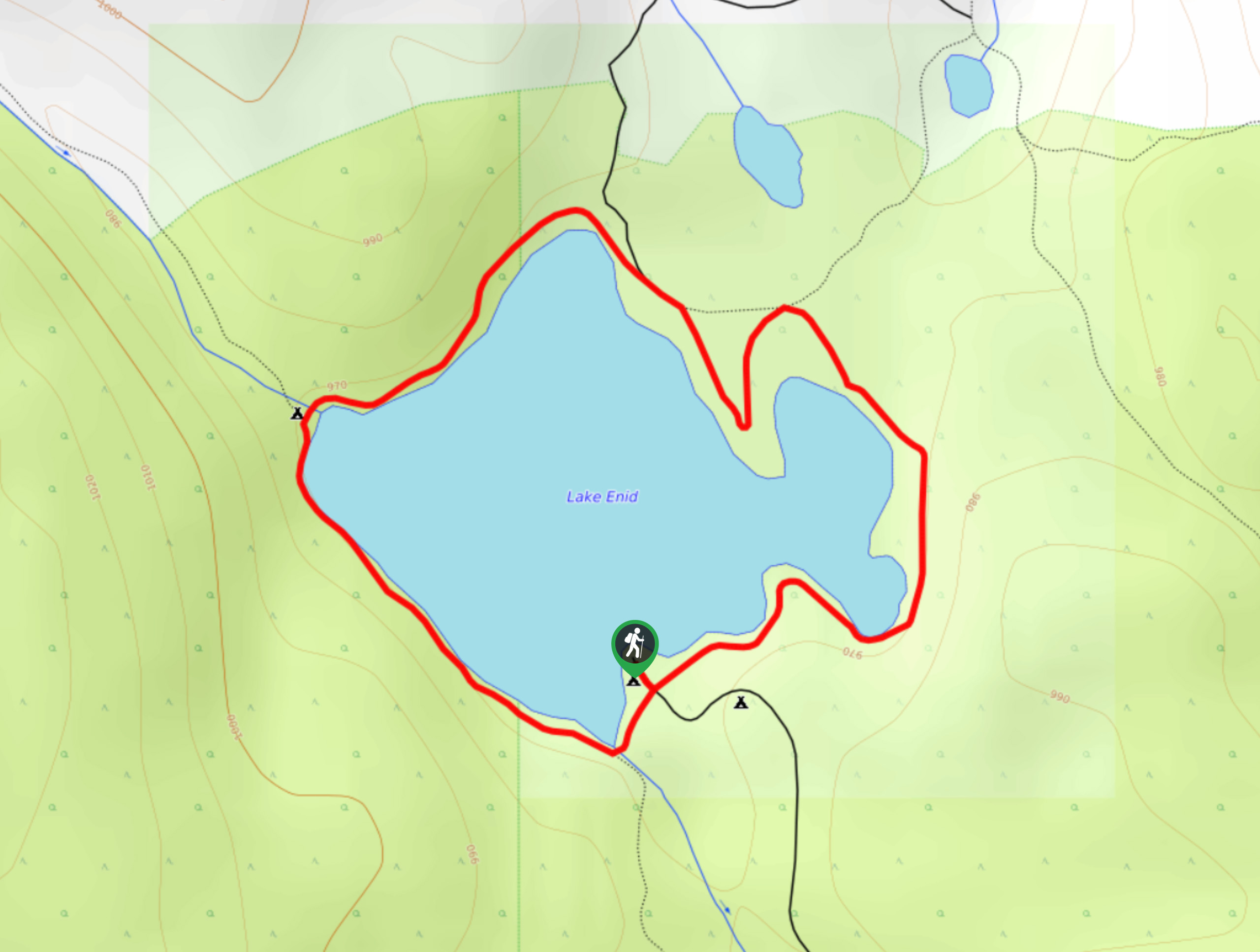
15. Lake Enid
Difficulty
Lake Enid is a great family-friendly hike near Invermere that will take you on a… Read More
16. Westside Legacy Trail
Difficulty
The Westside Legacy Trail is a 14.8mi point-to-point hiking route in Invermere, BC,… Read More
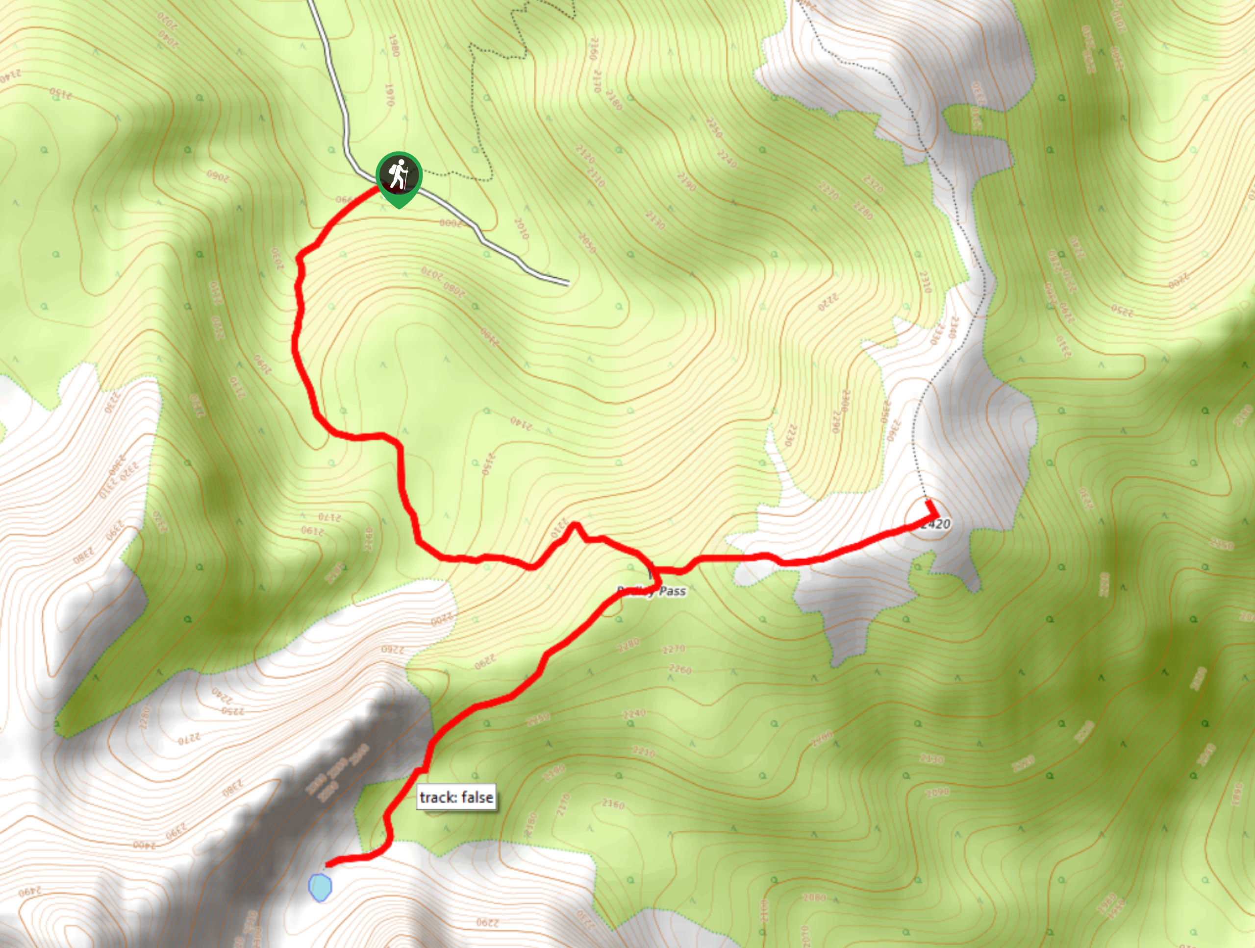
17. Pedley Pass Trail
Difficulty
The Pedley Pass Trail is a 4.7mi out-and-back hiking route east of Invermere… Read More
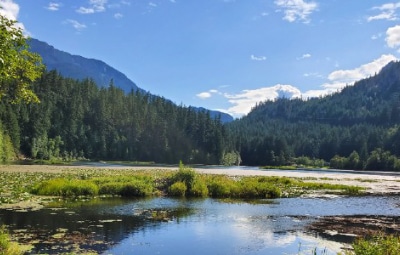
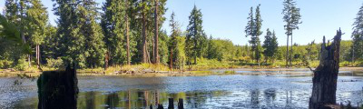
18. Wilmer Wetlands
Difficulty
The trail through the Wilmer Wetlands is a 2.3mi circuit that loops around… Read More
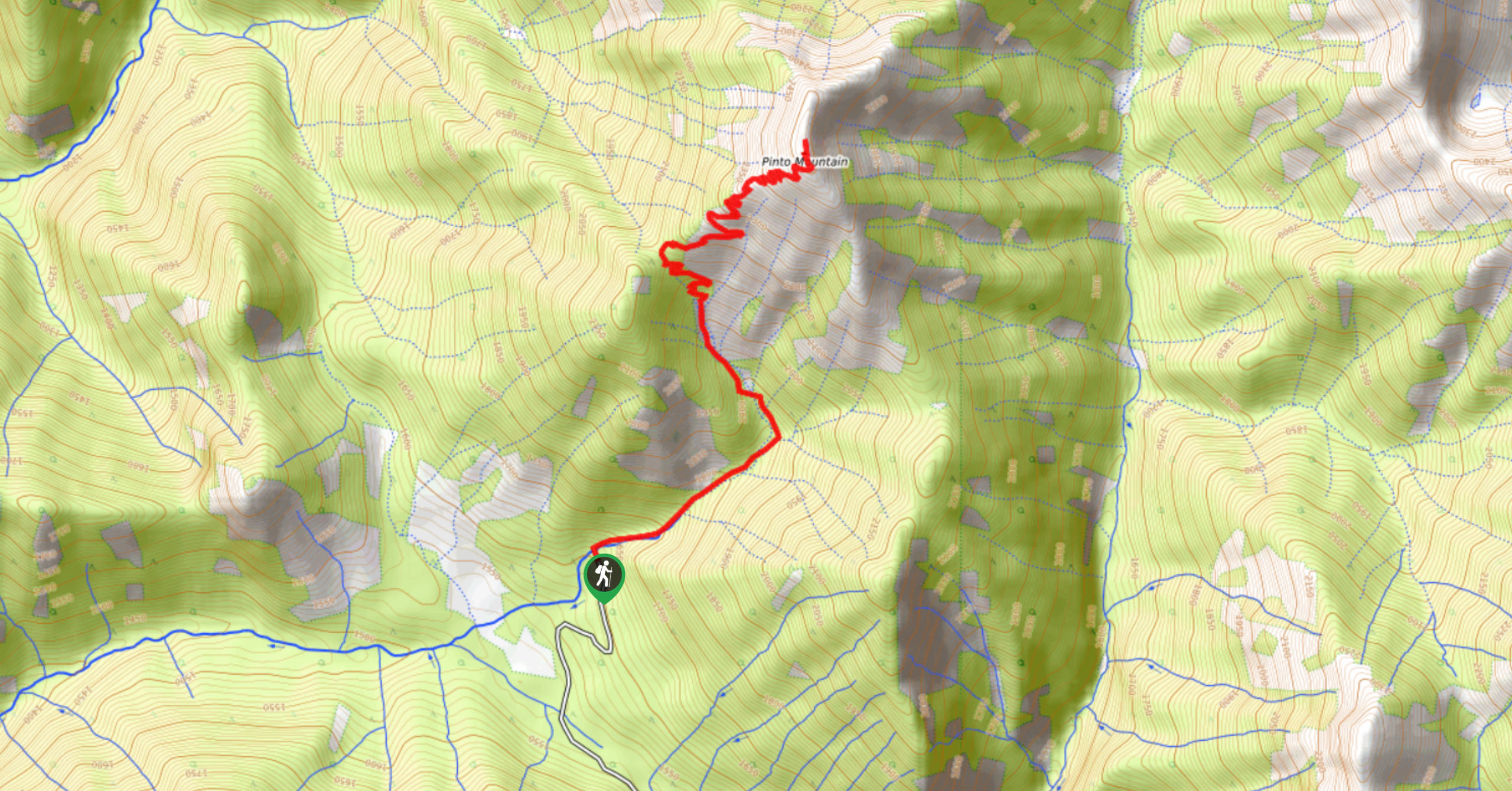
19. Pinto Mountain
Difficulty
The trail to the summit of Pinto Mountain is an 5.4mi out-and-back hiking… Read More
20. Valley Loop
Difficulty
The Valley Loop is a 3.0mi hiking route near Invermere, BC, that sets… Read More
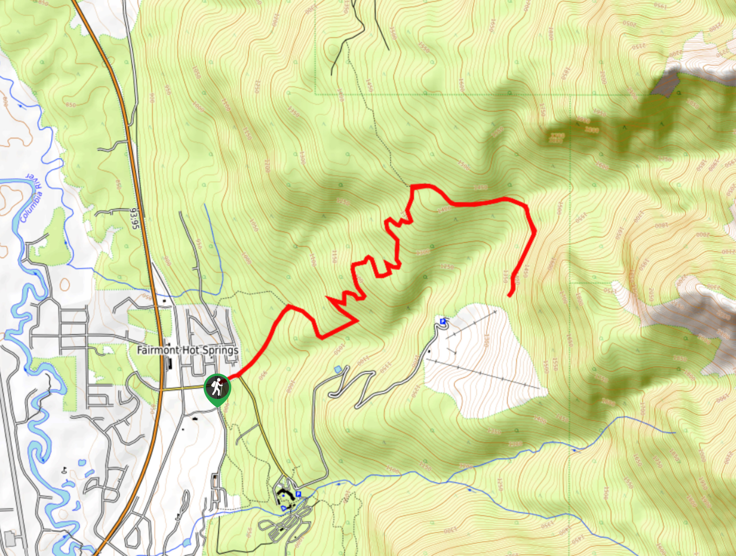
21. Valley View Trail
Difficulty
The Valley View Trail is a 2.9mi hiking route in Fairmont Hot Springs… Read More
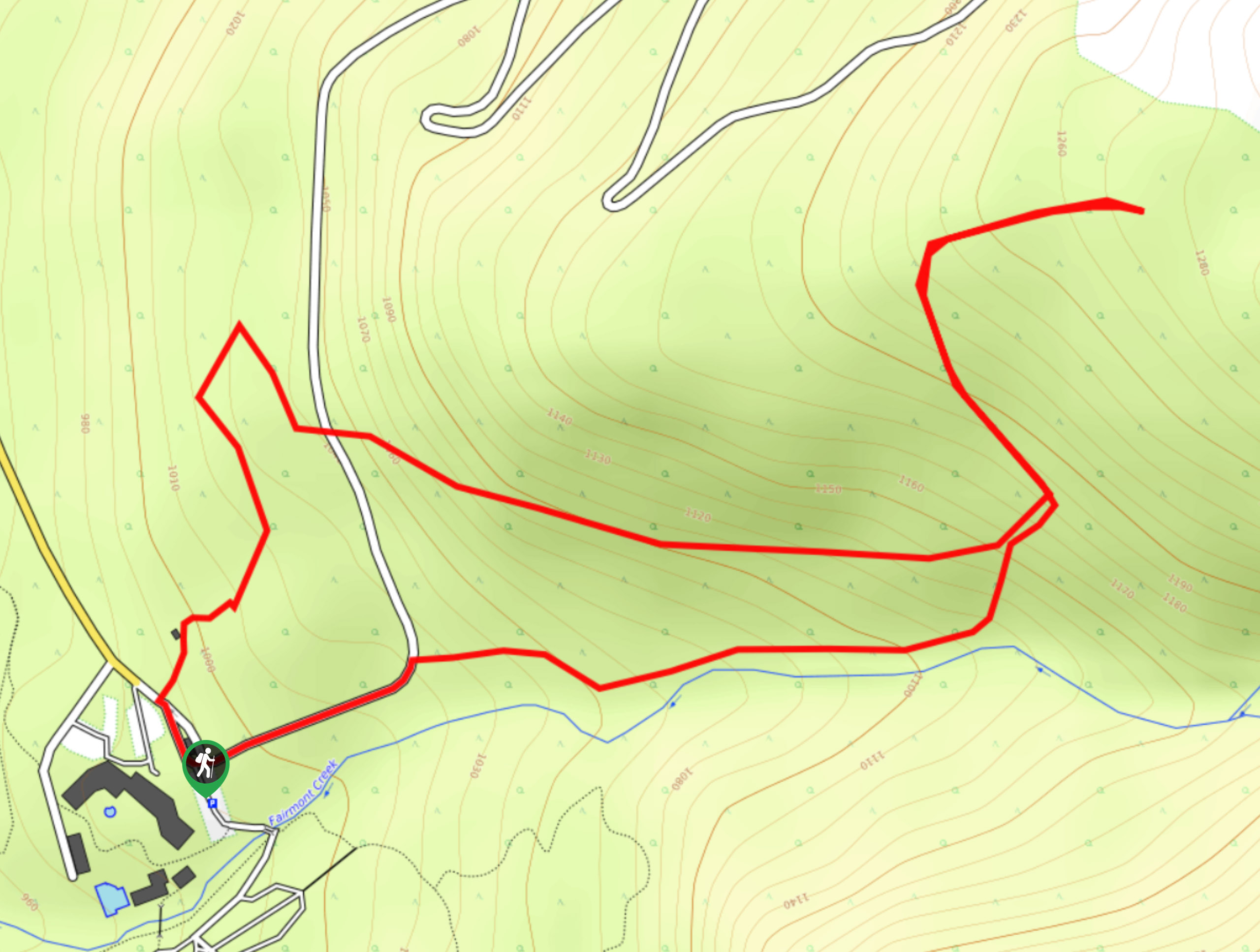
22. Taynton Trail
Difficulty
The Taynton Trail is a 8.5mi hiking route at the Panorama Mountain Resort… Read More
23. Hunter’s Way
Difficulty
Hunter’s Way is an 7.2mi out-and-back hiking route near Invermere that will take… Read More
24. Montezuma’s Revenge
Difficulty
Montezuma’s Revenge is a 1.8mi lollipop hiking route near Invermere, BC, that loops… Read More
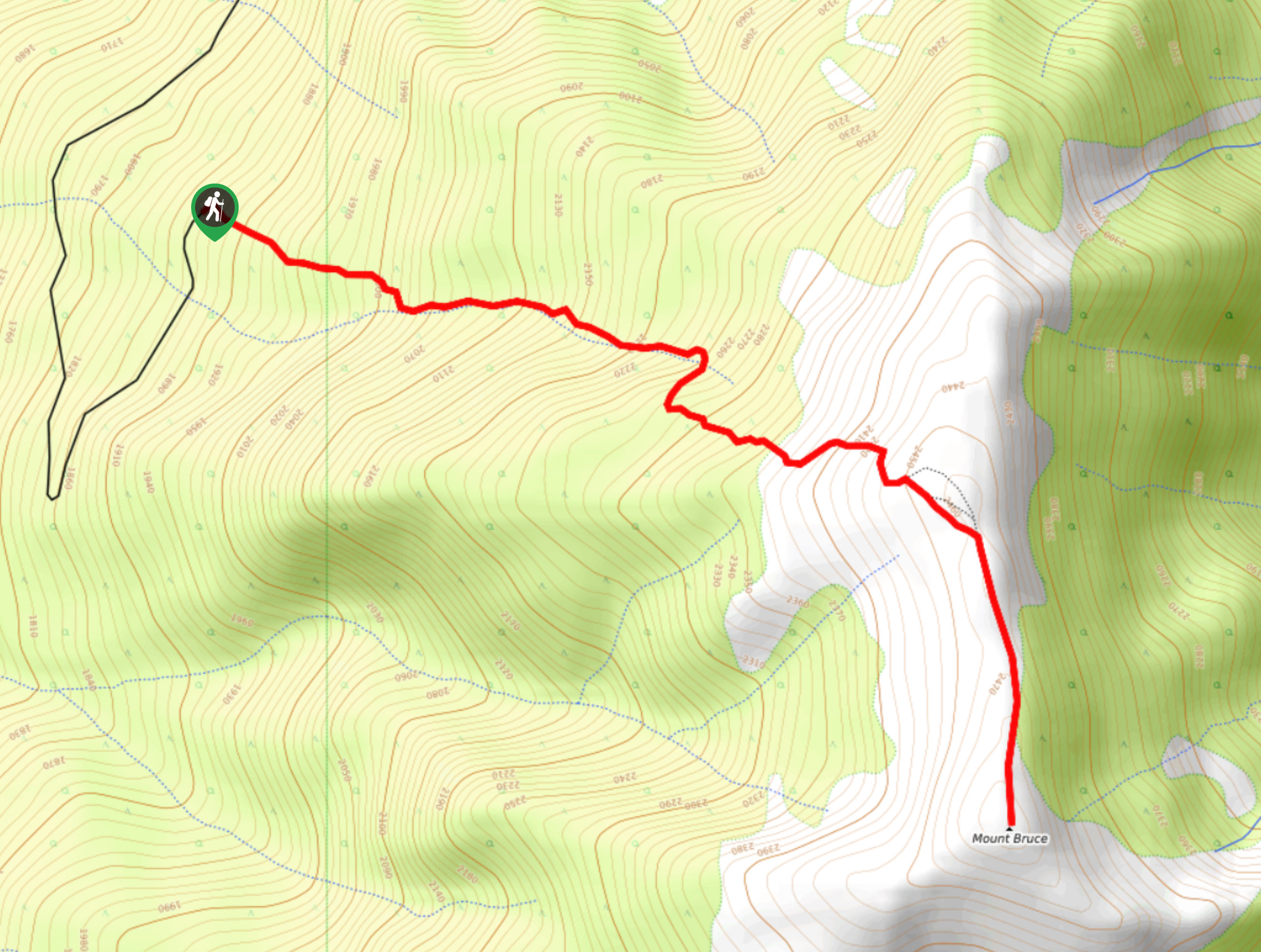
25. Mount Bruce
Difficulty
Mount Bruce is a 4.0mi out-and-back hiking route near Invermere, BC, that will… Read More
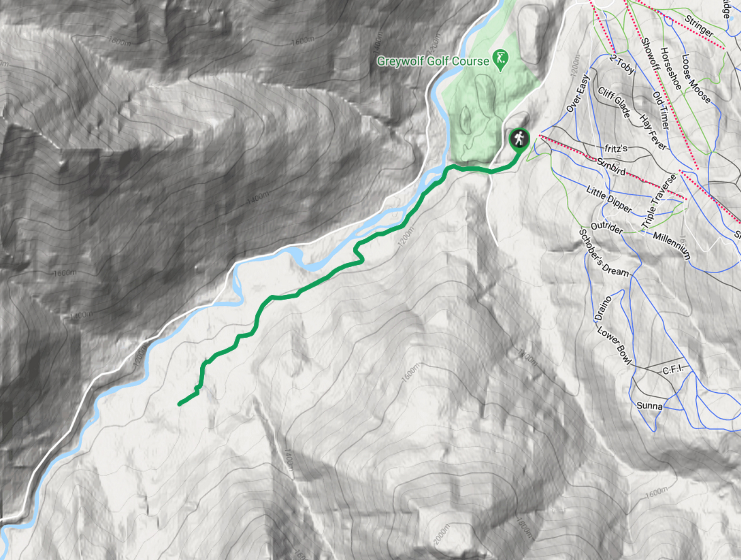
26. Hale Hut via Placer Trail
Difficulty
Hale Hut via the Placer Trail is a 4.2mi out-and-back hiking route at… Read More
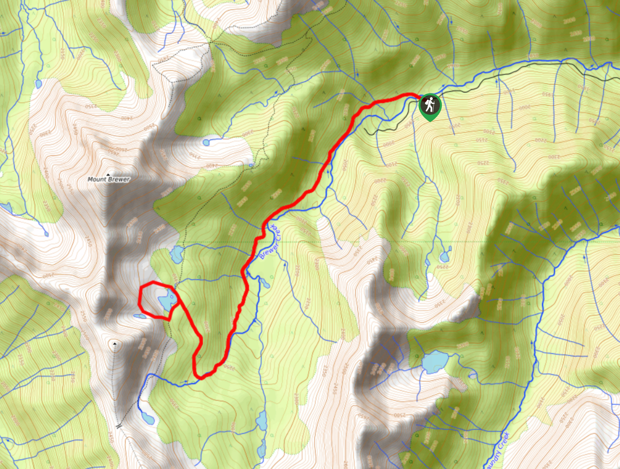
27. Brewer Lake
Difficulty
Brewer Lake is a 6.6mi lollipop hiking route near Invermere, BC, that will… Read More
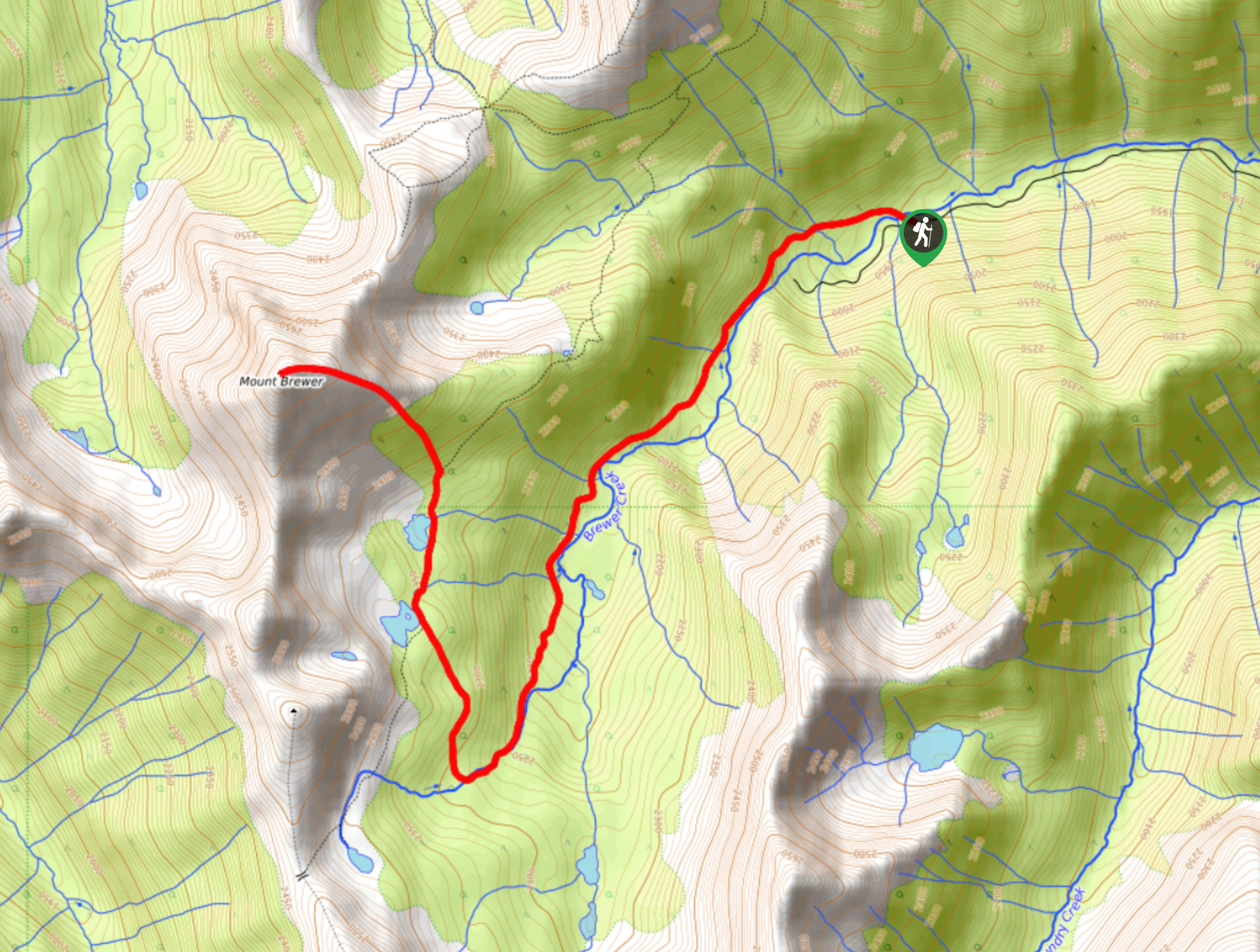
28. Mount Brewer
Difficulty
The Mount Brewer trail is a 8.0mi out-and-back hiking route that will take… Read More
Are we missing your favourite hike?
Tell us! If you've got photos, a GPS track and know the hike, we'd love to share your favourite hike with the rest of the 10Adventures community.