
Pedley Pass Trail
View Photos
Pedley Pass Trail
Difficulty Rating:
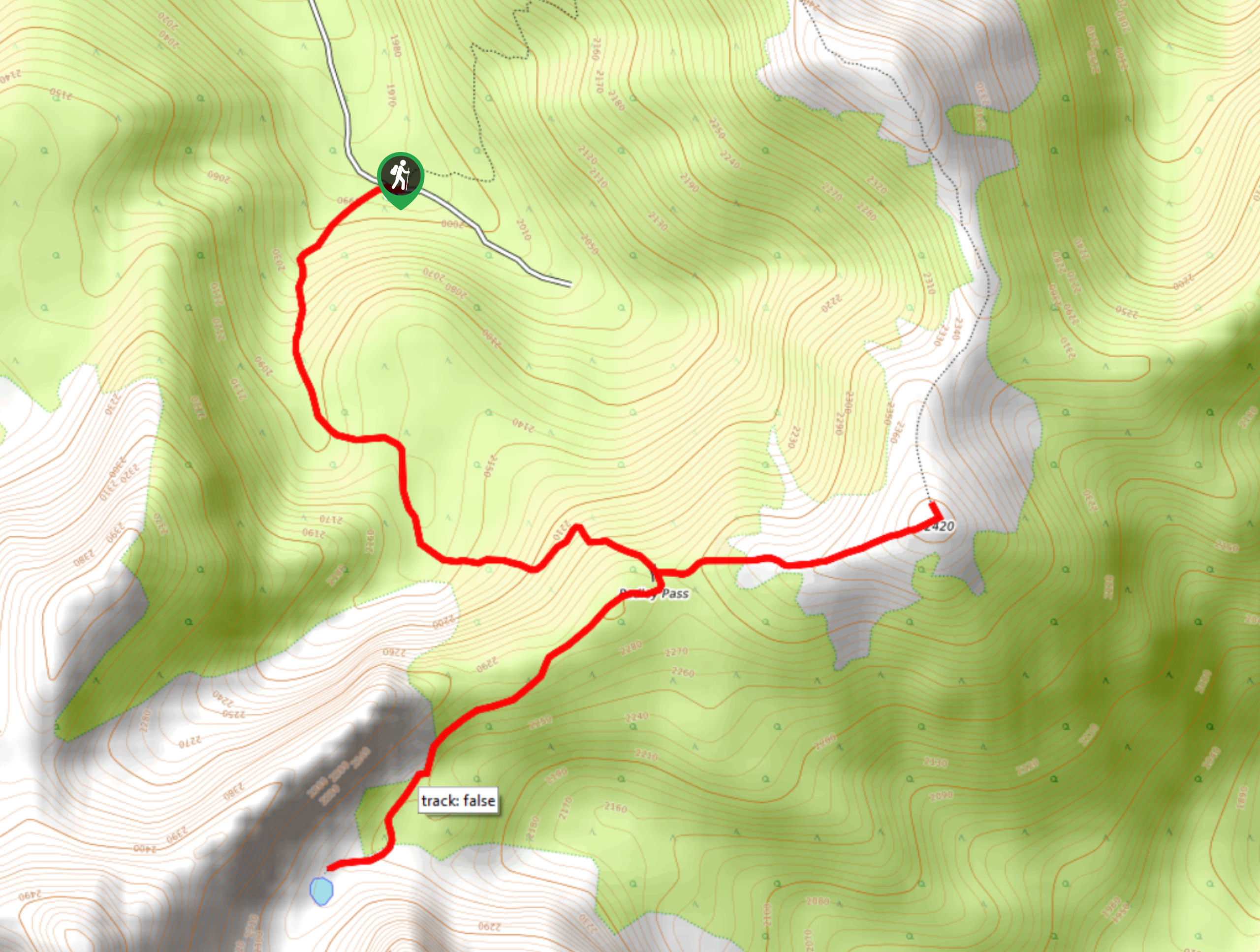
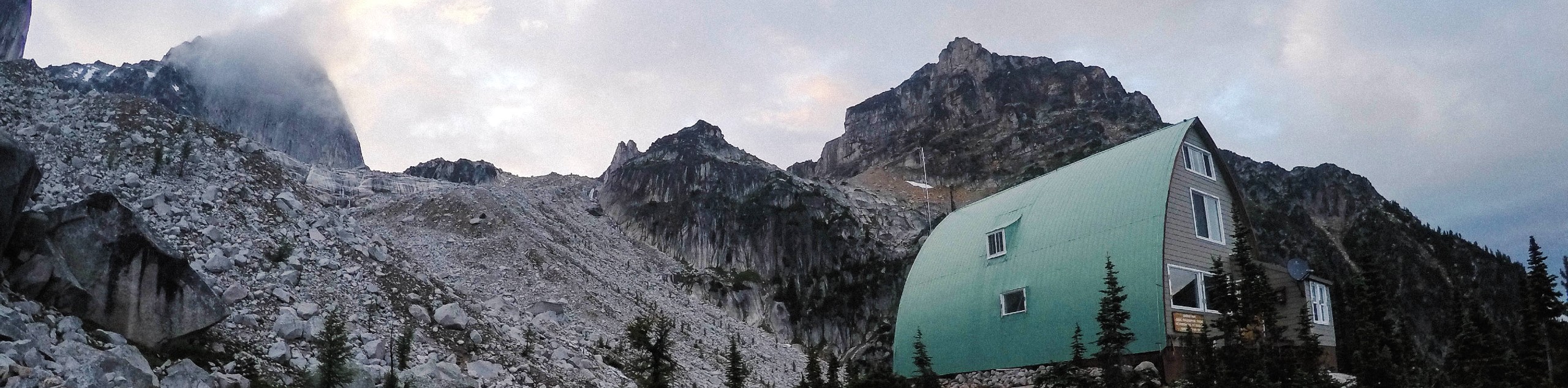
The Pedley Pass Trail is a 4.7mi out-and-back hiking route east of Invermere that climbs uphill through the forest to reach a small lake before continuing up to Pedley Ridge. From the summit, you will have some spectacular views overlooking the alpine landscape, including dramatic mountain peaks and beautiful green meadows. The road to get to the trailhead is fairly rugged and should only be attempted with a 4x4 high clearance vehicle.
Getting there
To reach the Pedley Pass Trail trailhead from Highway BC-93 in Invermere, turn off the highway onto Cooper Road and follow it for 1969ft. Make a right turn on Westrock Mine Road and follow it for 12.7mi to get to the trailhead.

About
| When to do | June–October |
| Backcountry Campsites | No |
| Pets allowed | Yes |
| Family friendly | No |
| Route Signage | Average |
| Crowd Levels | Moderate |
| Route Type | Out and back |
Pedley Pass Trail
Elevation Graph
Weather
Pedley Pass Trail Description
While the road into the Pedley Pass Trail is fairly treacherous, the trail itself is not overly difficult. It offers hikers the chance to experience the rugged landscape of this backcountry area. The route sets out from the parking area and climbs steeply uphill through the forest to arrive at a junction in the trail. Heading right here will take you further into the mountains to a small lake, with Mount Aeneas dramatically towering overhead.
After absorbing the natural beauty of this area, head back to the junction and follow it to the right to head up Pedley Ridge. From here, you will have a stunning sightline over the picturesque alpine landscape. For the moderate effort required, this hike offers some truly breathtaking views. After spending some time up on the ridge, head back down the steep trail to return to your vehicle and make the bumpy journey home.
Similar hikes to the Pedley Pass Trail hike
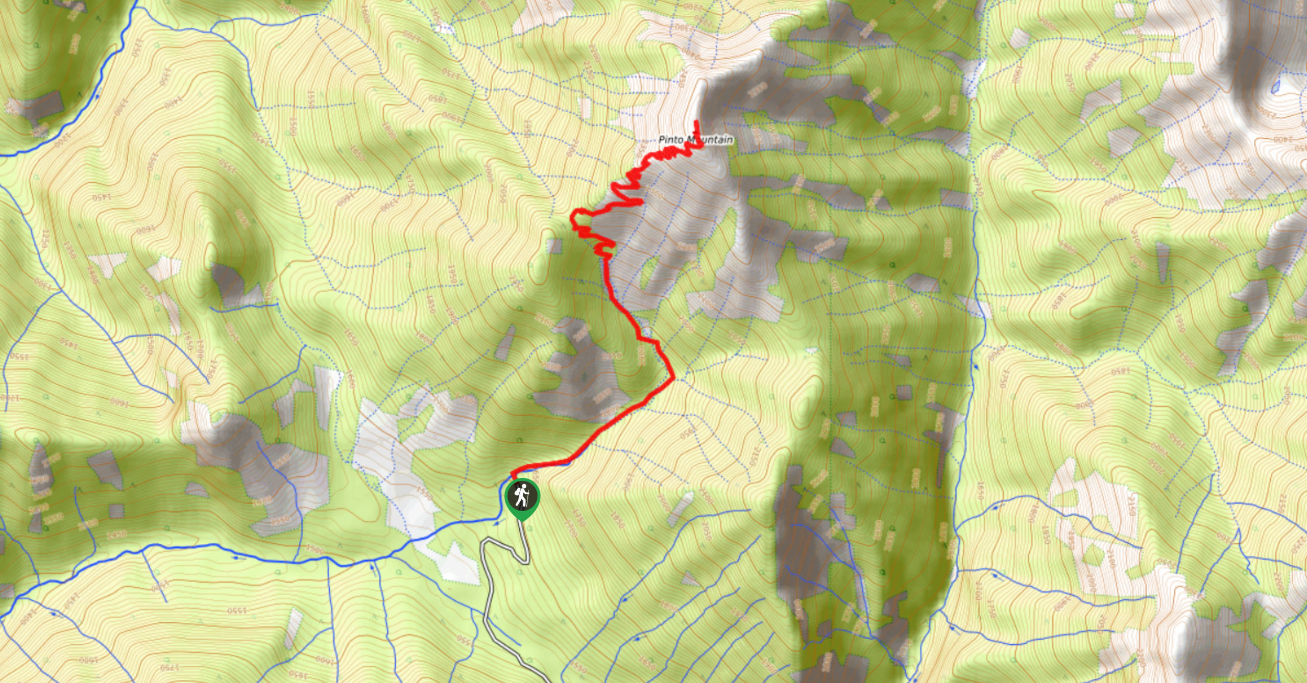
Pinto Mountain
The trail to the summit of Pinto Mountain is an 5.4mi out-and-back hiking route that will lead you…
Mount Swansea Tower
Mount Swansea Tower is a 3.8mi lollipop hiking route in the Swansea Mountain Recreation Site near Invermere that…
Conrad Kain Hut Trail
The Conrad Kain Hut Trail is a 5.6mi out-and-back hiking route near Invermere, BC, that climbs through beautiful…
Comments