
Pinto Mountain
View Photos
Pinto Mountain
Difficulty Rating:
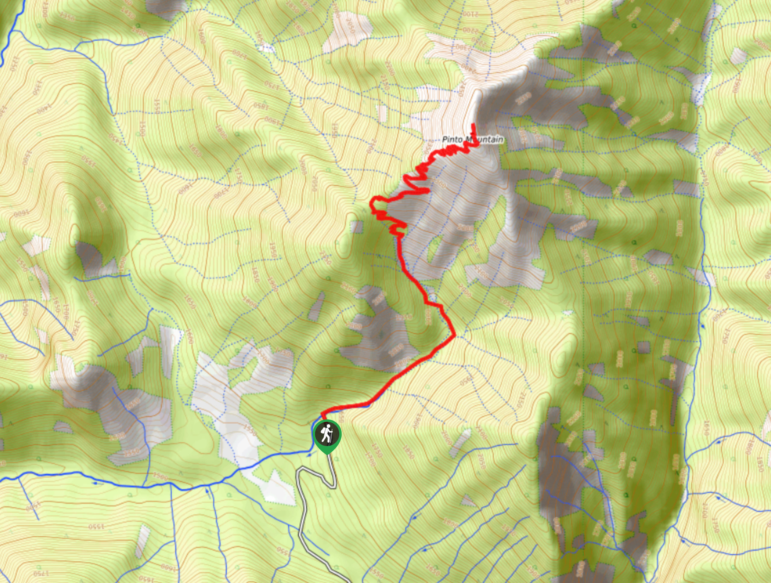
The trail to the summit of Pinto Mountain is an 5.4mi out-and-back hiking route that will lead you to a vantage point with spectacular views of the area surrounding Invermere, BC. From the summit, you will have a sightline across the Rockies to the east and west across the Columbia Valley to the Purcell Mountains. Be sure to make the journey into the trailhead with a 4x4 high clearance vehicle as a regular car won’t be able to make it up the rugged roads.
Getting there
To get to the trailhead for Pinto Mountain from Highway BC-93 in Invermere, exit the highway onto Cooper Road and continue for 1969ft. Turn right on Westrock Mine Road and follow it for 4.8mi. Keep left at the fork in the road and continue for 5.0mi to get to the trailhead.

About
| When to do | June–November |
| Backcountry Campsites | No |
| Pets allowed | Yes - On Leash |
| Family friendly | No |
| Route Signage | Average |
| Crowd Levels | Moderate |
| Route Type | Out and back |
Pinto Mountain
Elevation Graph
Weather
Pinto Mountain Trail Description
The Pinto Mountain Trail is a challenging but rewarding hike that will leave your legs more than a little bit tired after the steep climb up the mountainside. The trail is easy to navigate and isn’t overly difficult or technical; however, there is an elevation gain of 960m packed along its length, so be prepared for a bit of a leg burner.
The route sets out through the dense forests at the base of Pinto Mountain and eventually breaks out into some more exposed terrain. On this upper portion of the hike, you will have breathtaking views in every direction, and from the summit, you will just be able to make out Invermere nestled in the valley below, surrounded by mountains on either side. After taking in the views, carefully head back down the steep trail for the return journey home.
Similar hikes to the Pinto Mountain hike
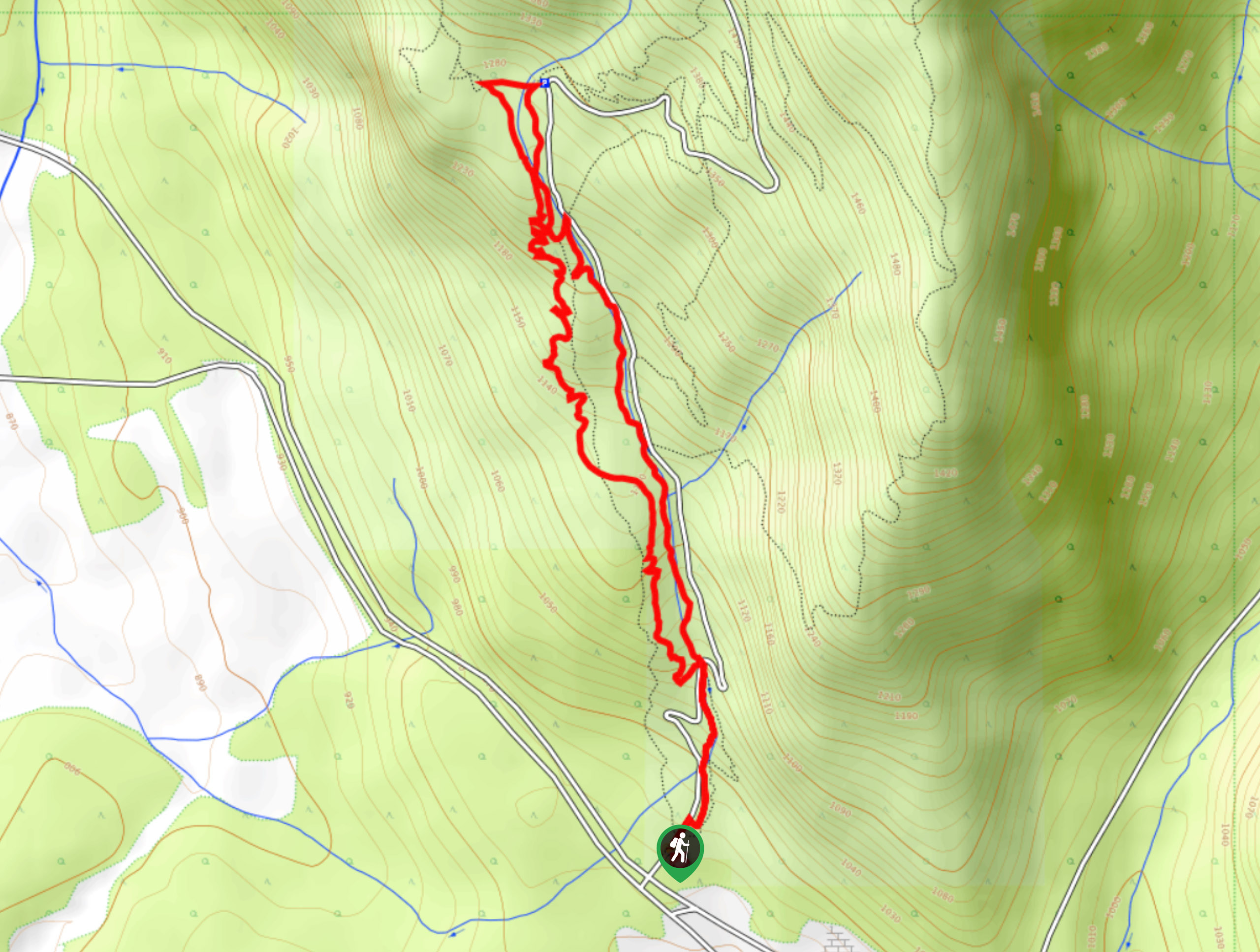
Mount Swansea Tower
Mount Swansea Tower is a 3.8mi lollipop hiking route in the Swansea Mountain Recreation Site near Invermere that…
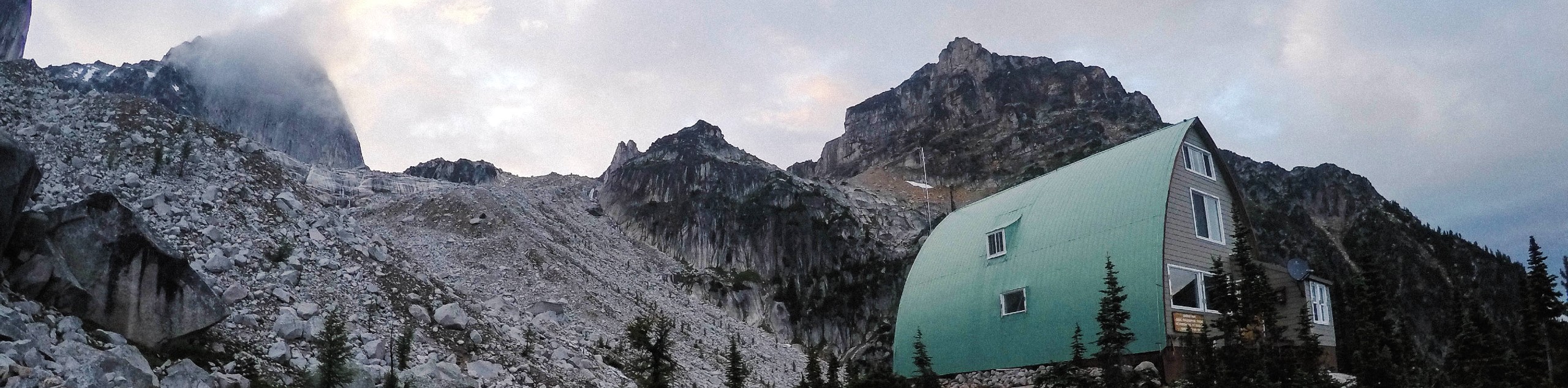
Conrad Kain Hut Trail
The Conrad Kain Hut Trail is a 5.6mi out-and-back hiking route near Invermere, BC, that climbs through beautiful…
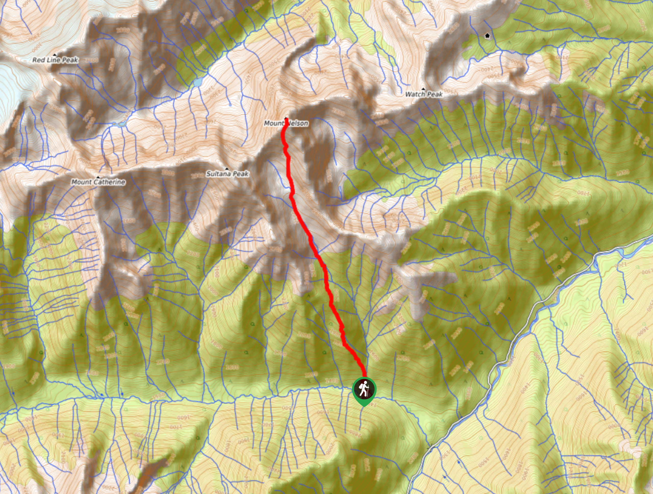
Mount Nelson Trail
The Mount Nelson Trail is a rugged and challenging 6.6mi out-and-back hiking route that travels into the backcountry…
Comments