
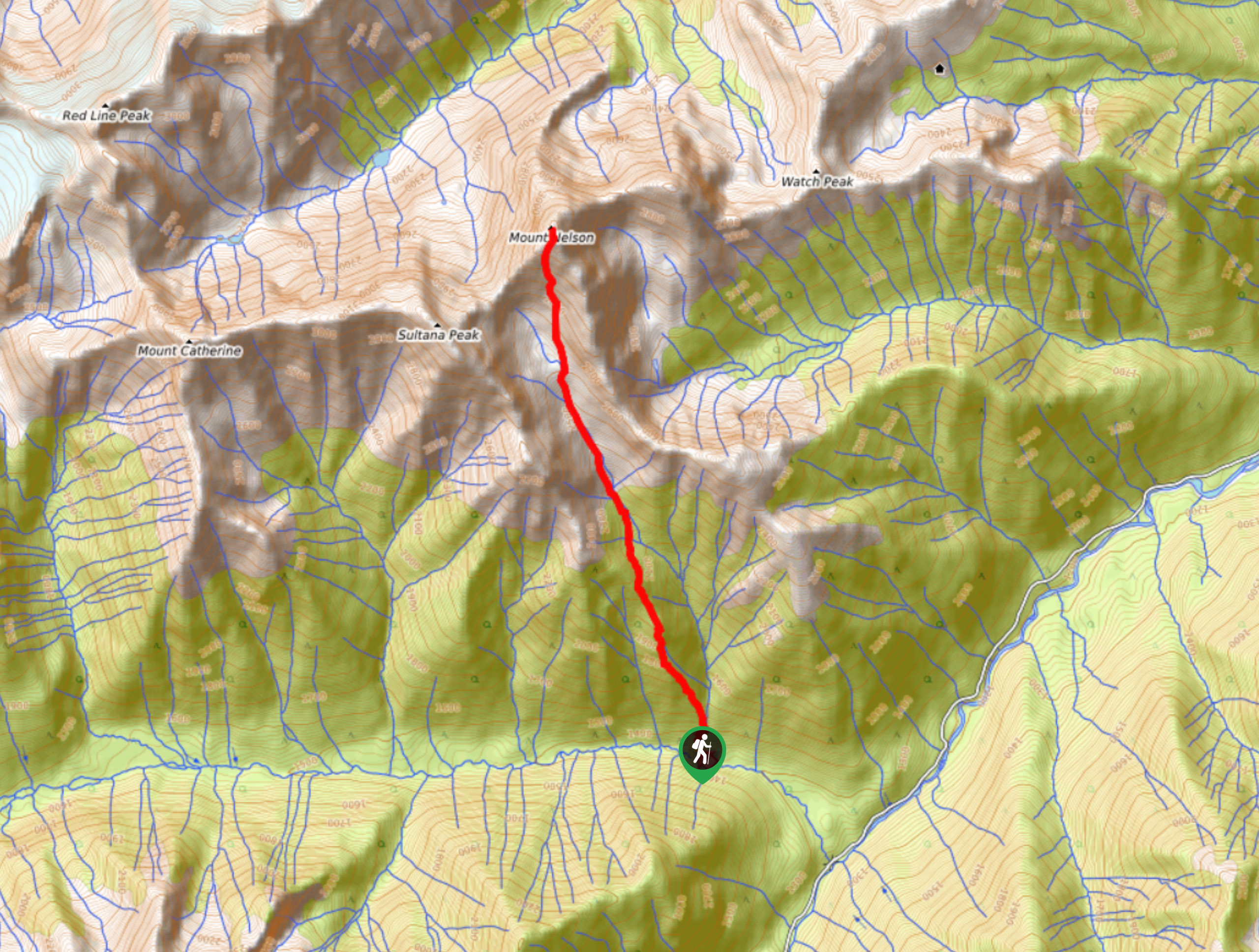
Mount Nelson Trail
View Photos
Mount Nelson Trail
Difficulty Rating:
The Mount Nelson Trail is a rugged and challenging 6.6mi out-and-back hiking route that travels into the backcountry of the Purcell Mountains and should only be attempted by experienced hikers. The route climbs very steeply uphill before working through a basin and up the scree towards the summit. The final approach will involve some scrambling; however, the panoramic views from the summit are definitely worth the effort.
Getting there
To get to the Mount Nelson trailhead from Invermere, head northwest on Panorama Drive for 0.8mi and continue straight onto Toby Creek Road for another 10.1mi. Turn right onto Delphin Creek FSR and follow it for 1.2mi, where you will find the trailhead on the right.

About
| When to do | June–October |
| Backcountry Campsites | No |
| Pets allowed | Yes |
| Family friendly | No |
| Route Signage | Average |
| Crowd Levels | Low |
| Route Type | Out and back |
Mount Nelson Trail
Elevation Graph
Weather
Mount Nelson Trail Description
Hiking the Mount Nelson Trail is a full-day affair and should not be taken lightly. Due to the steep incline of the trail, rugged terrain, and fairly technical approach to the summit, this route is best left for experienced hikers familiar with longer treks into alpine terrain. The trail sets out from the trailhead and climbs steeply uphill for several kilometres before coming to the picturesque basin. From here, continue hiking through the basin and up the scree, where you will pass by a waterfall on your right.
After some light scrambling through the upper portion of the basin, you will reach the summit of Mount Nelson and have a spectacular sightline over the Purcell Mountains in all directions, including Sultana Peak, Mount Catherine, and Mount Trafalgar in your immediate vicinity. After taking in the beautiful alpine views, carefully make your descent and head through the basin to return to the trailhead.
Similar hikes to the Mount Nelson Trail hike
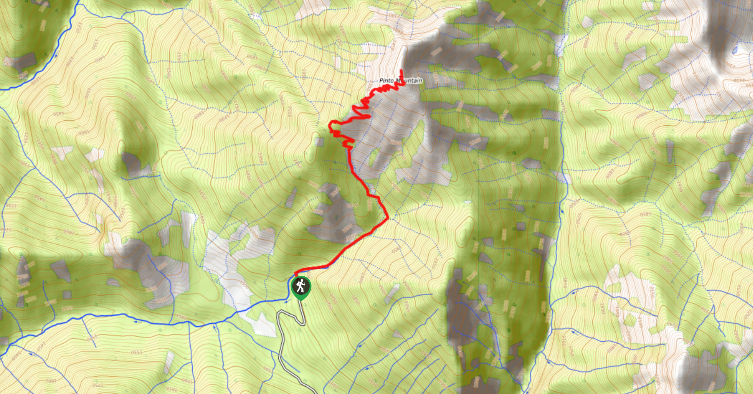
Pinto Mountain
The trail to the summit of Pinto Mountain is an 5.4mi out-and-back hiking route that will lead you…
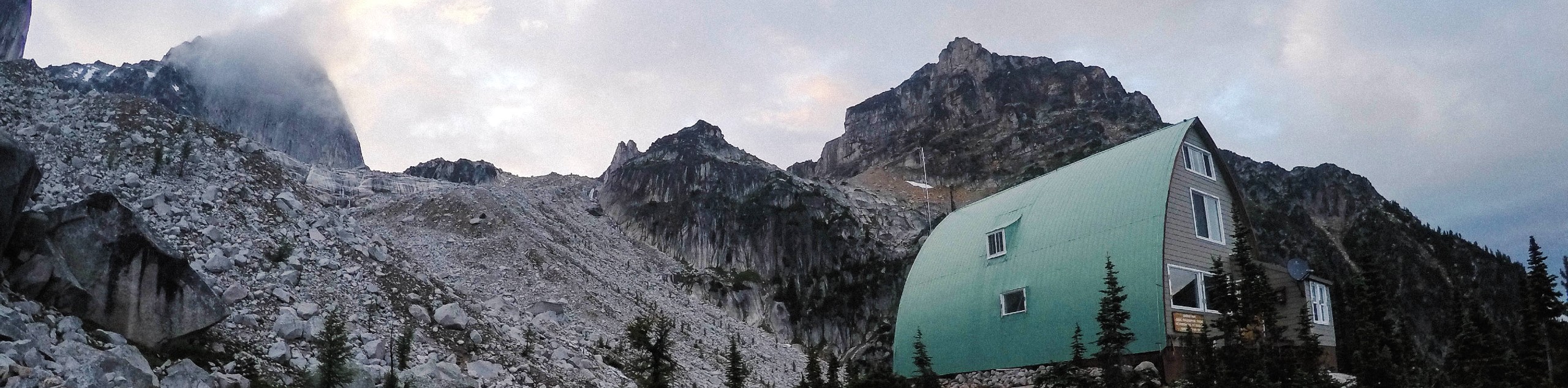
Conrad Kain Hut Trail
The Conrad Kain Hut Trail is a 5.6mi out-and-back hiking route near Invermere, BC, that climbs through beautiful…
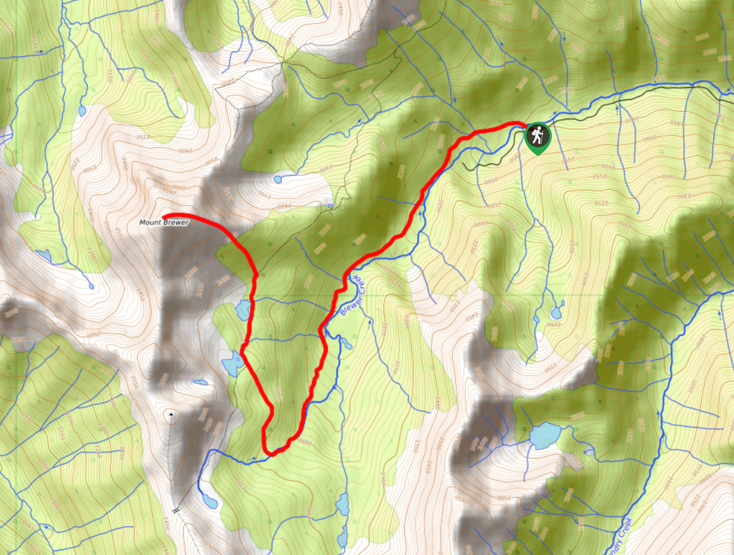
Mount Brewer
The Mount Brewer trail is a 8.0mi out-and-back hiking route that will take hikers through a small valley…
Comments