
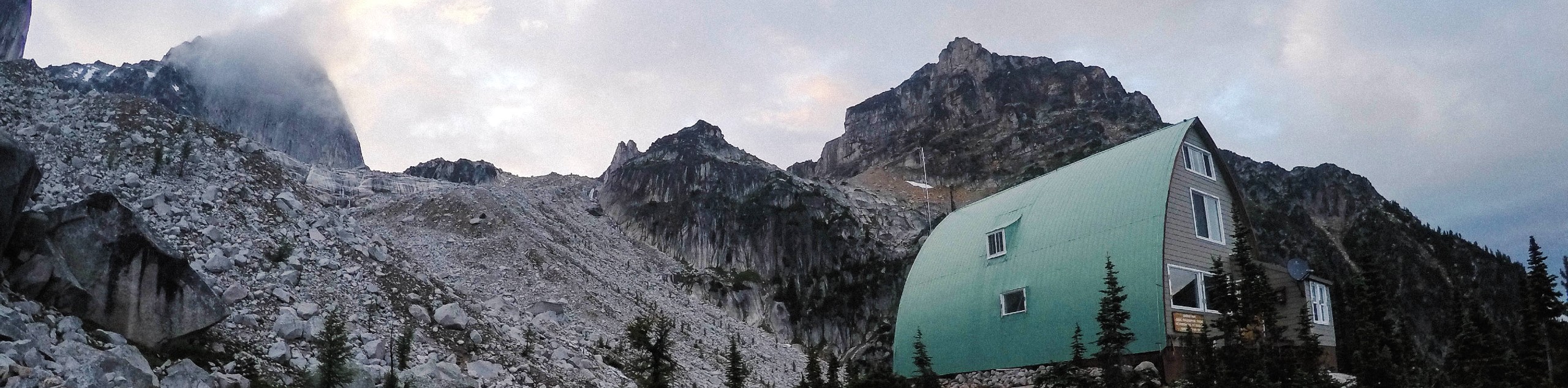
Mount Aeneas
View Photos
Mount Aeneas
Difficulty Rating:
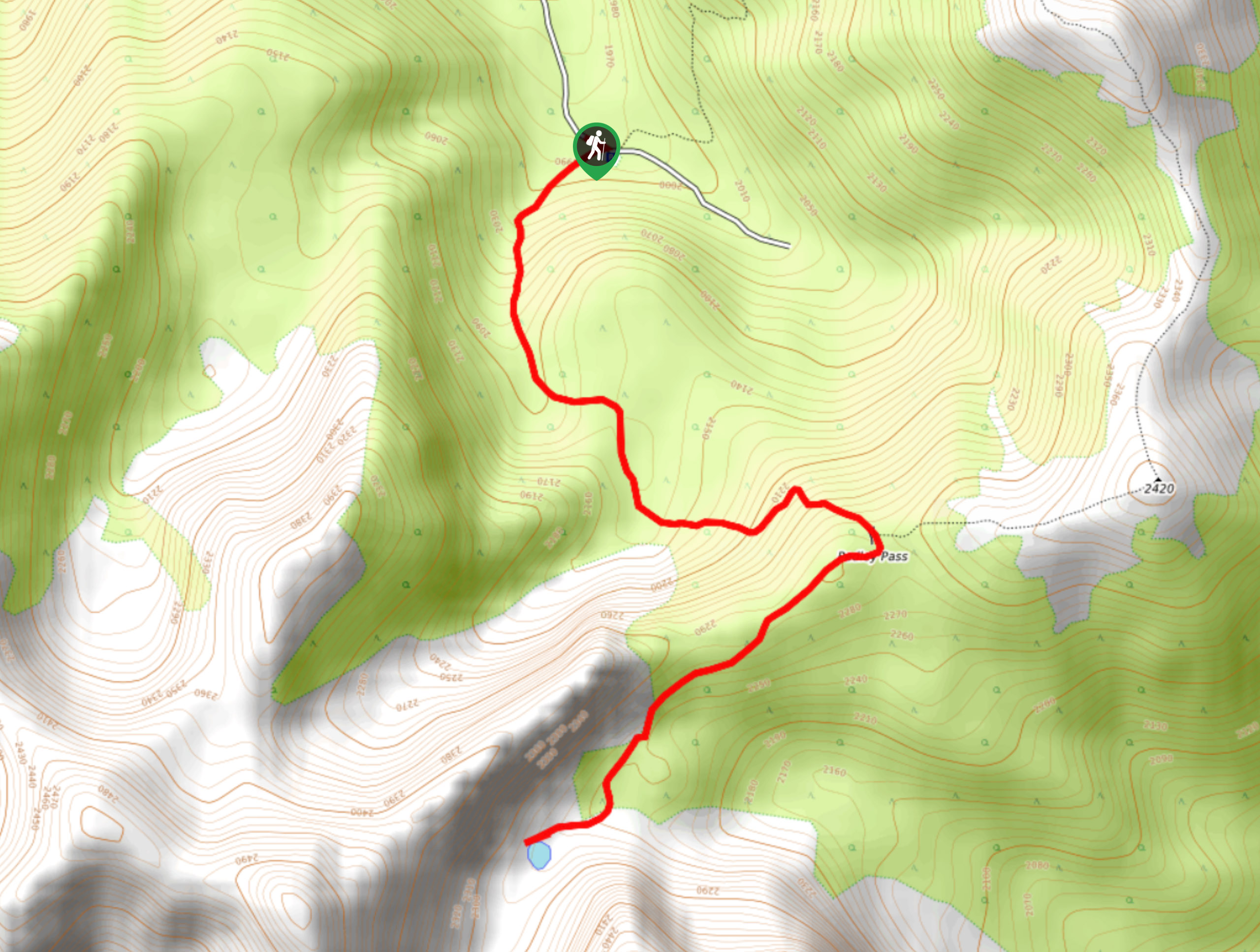
The trail up to Mount Aeneas is an 5.3mi out-and-back hiking route that will lead you through the alpine terrain of Pedley Pass and up the rocky summit for some breathtaking views over the surrounding mountain peaks. Hikers should bring poles and helmets for this trek as they will need to climb up rocky scree slopes to reach the summit. Only attempt the drive into the trailhead if you have a 4x4 high clearance vehicle—regular cars are not suitable for the rough terrain.
Getting there
To get to the trailhead for Mount Aeneas from Highway BC-93 in Invermere, exit the highway onto Cooper Road and continue for 1969ft. Turn right on Westrock Mine Road and follow it east for 12.7mi to find the parking area and trailhead.

About
| When to do | June–October |
| Backcountry Campsites | No |
| Pets allowed | No |
| Family friendly | No |
| Route Signage | Average |
| Crowd Levels | Moderate |
| Route Type | Out and back |
Mount Aeneas
Elevation Graph
Weather
Mount Aeneas Trail Description
Hiking to Mount Aeneas is a truly remarkable adventure in the Invermere area that will leave you speechless after experiencing the breathtaking views from the summit. The trail initially sets out from the parking area and climbs uphill through the forest before breaking out into the beautiful alpine terrain of Pedley Pass. Shortly after the pass, you find a small alpine lake and will be surrounded by the dramatic, rocky peaks of Mount Aeneas and Pedley Ridge. Continue past the lake and through the gully to work your way up the scree slopes towards the summit.
After some light scrambling, you will arrive at the top of Mount Aeneas and be greeted with a spectacular panoramic view of the surrounding mountain peaks that include Indian Head Mountain to the south, Mount Pedley to the southeast, and Mount Tegart to the west. After basking in the breathtaking views, carefully make your descent of the mountain and head back through the pass for the return journey home.
Similar hikes to the Mount Aeneas hike
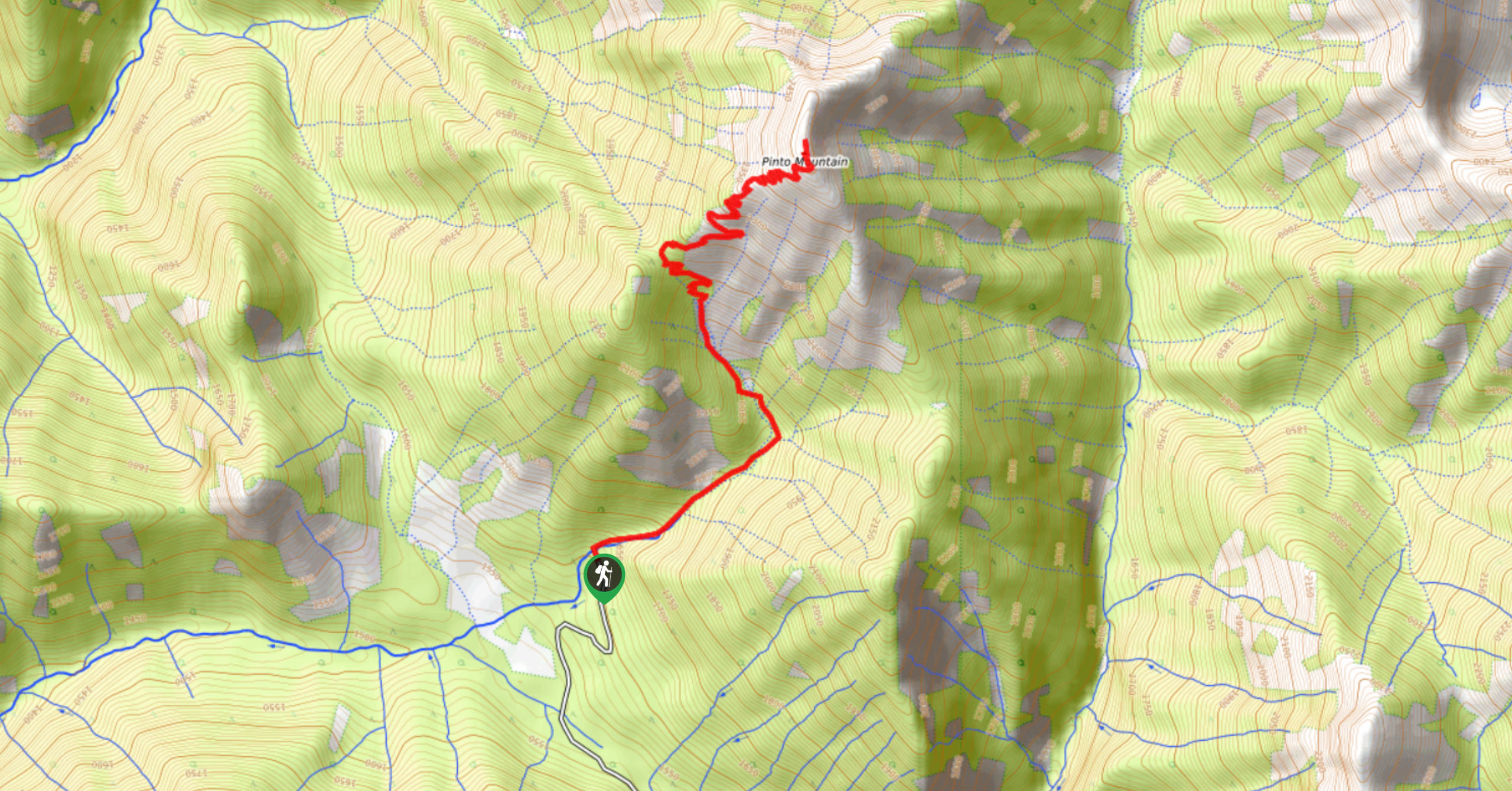
Pinto Mountain
The trail to the summit of Pinto Mountain is an 5.4mi out-and-back hiking route that will lead you…
Mount Swansea Tower
Mount Swansea Tower is a 3.8mi lollipop hiking route in the Swansea Mountain Recreation Site near Invermere that…
Conrad Kain Hut Trail
The Conrad Kain Hut Trail is a 5.6mi out-and-back hiking route near Invermere, BC, that climbs through beautiful…
Comments