
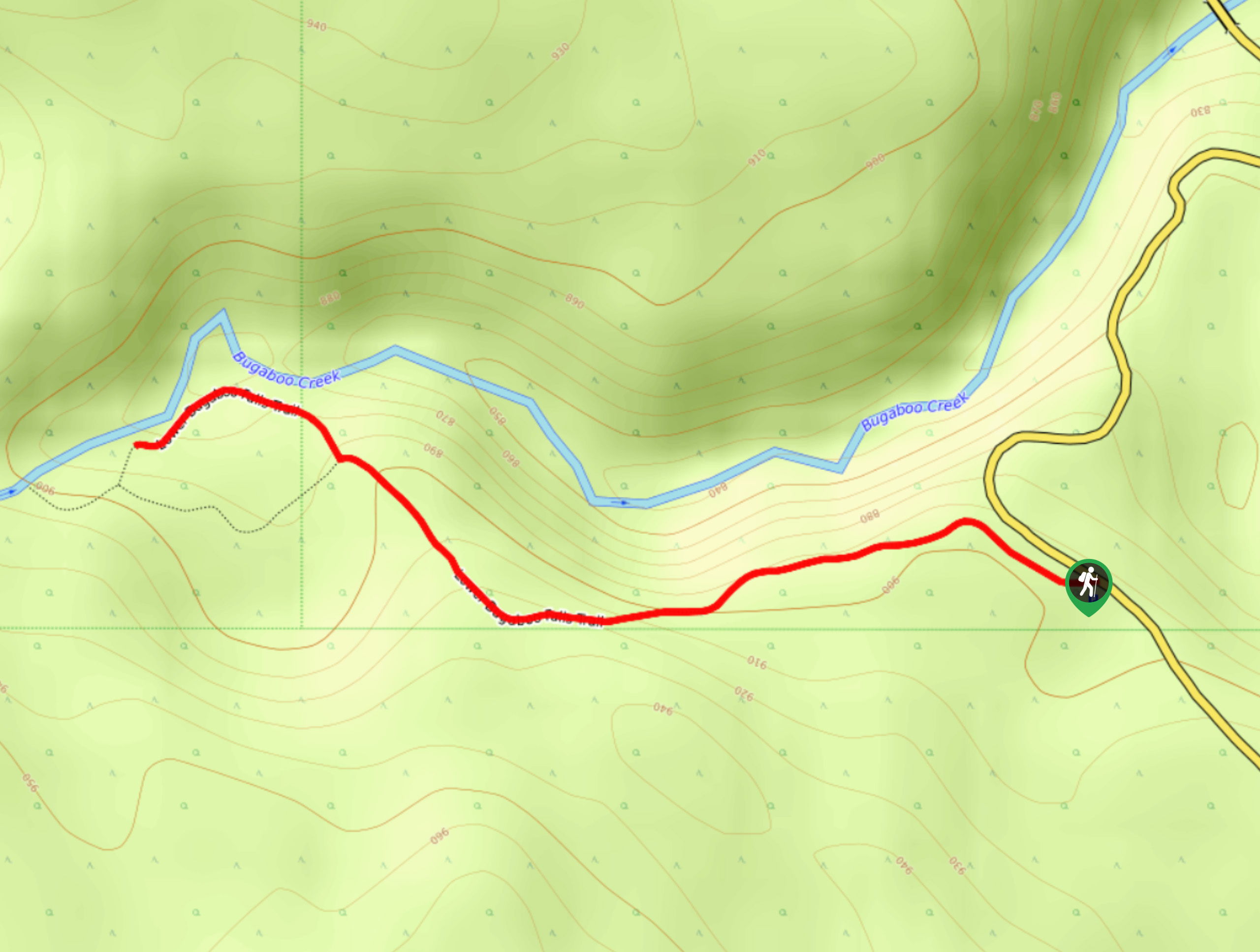
Lower Bugaboo Falls
View Photos
Lower Bugaboo Falls
Difficulty Rating:
Lower Bugaboo Falls is a 1.6mi out-and-back hiking route northwest of Invermere that will allow hikers to experience the beauty and power of this majestic waterfall. This is a quick hike along easy terrain; however, there are some steep drop-offs along the trail, so watch your footing and keep an eye on children. Make sure to arrive early, as parking at the trailhead is limited, and the narrow trail can become quite busy during peak hours.
Getting there
To get to the Lower Bugaboo Falls from Brisco, head northwest on Brisco Road for 4.9mi and make a slight right onto Westside Road. Continue for 1.9mi to find the trailhead on the left.

About
| When to do | April–October |
| Backcountry Campsites | No |
| Pets allowed | Yes |
| Family friendly | Yes |
| Route Signage | Average |
| Crowd Levels | Moderate |
| Route Type | Out and back |
Lower Bugaboo Falls
Elevation Graph
Weather
Lower Bugaboo Falls Trail Description
The hike to Lower Bugaboo Falls is a quick excursion near Invermere that will take you through a beautifully scenic stretch of woodland terrain on the way to experience the falls themselves. While the route is largely flat, some small inclines can become icy later on in the season and may require microspikes to traverse.
The trail is heavily forested and follows closely alongside the flowing waters of Bugaboo Creek, providing a relaxing atmosphere as you make your way toward the rugged rock formation of the falls. Approaching the cliffs above the falls will produce a spectacular view over the rushing water; however, you should be mindful of the steep drop-off and stay clear of the edge. After taking in the majesty of the Lower Bugaboo Falls, head back along the trail to return to your vehicle.
Similar hikes to the Lower Bugaboo Falls hike
Mount Swansea Tower
Mount Swansea Tower is a 3.8mi lollipop hiking route in the Swansea Mountain Recreation Site near Invermere that…
Hale Hut via Placer Trail
Hale Hut via the Placer Trail is a 4.2mi out-and-back hiking route at the Panorama Mountain Resort near…
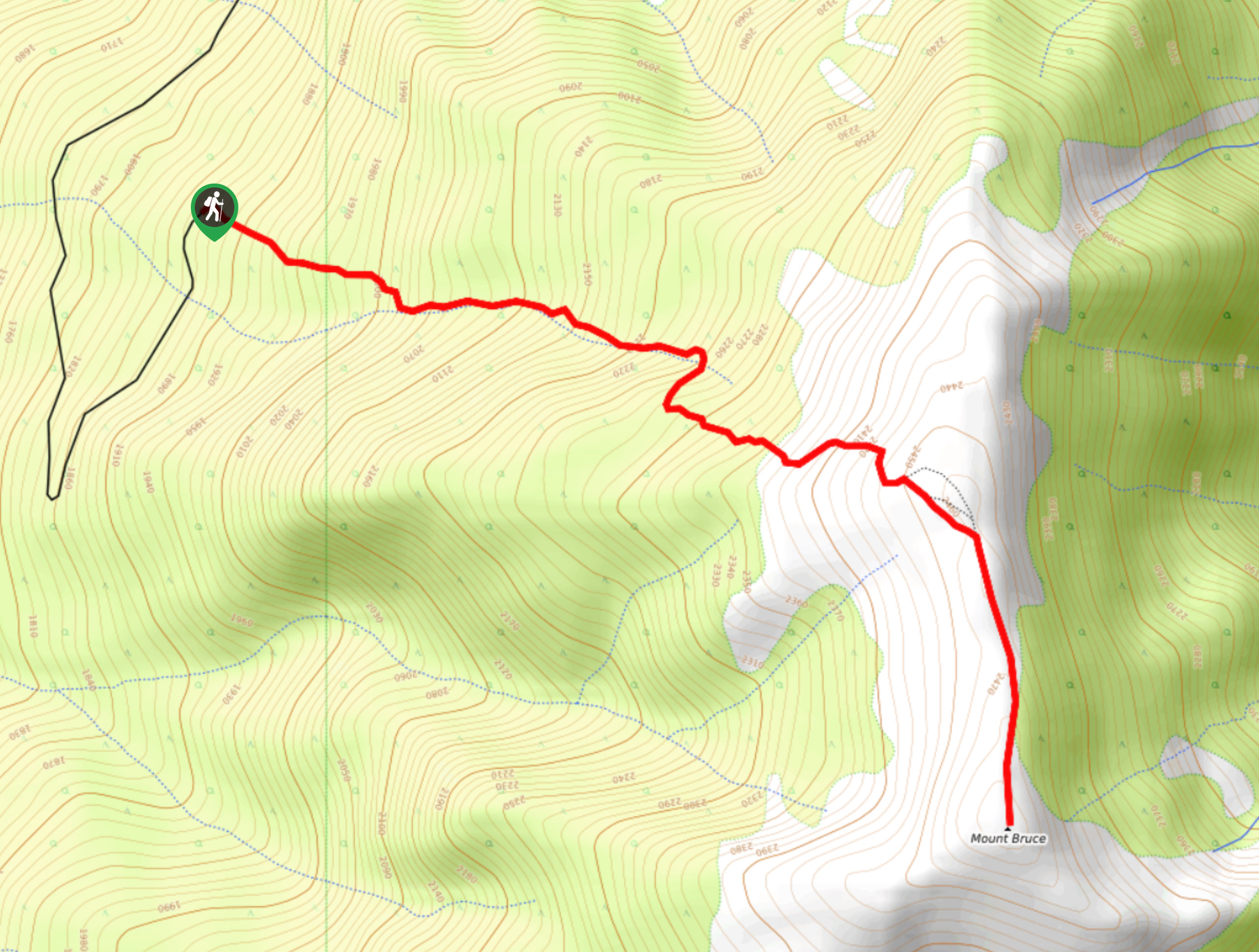
Mount Bruce
Mount Bruce is a 4.0mi out-and-back hiking route near Invermere, BC, that will take you through a nice…
Comments