
Hale Hut via Placer Trail
View Photos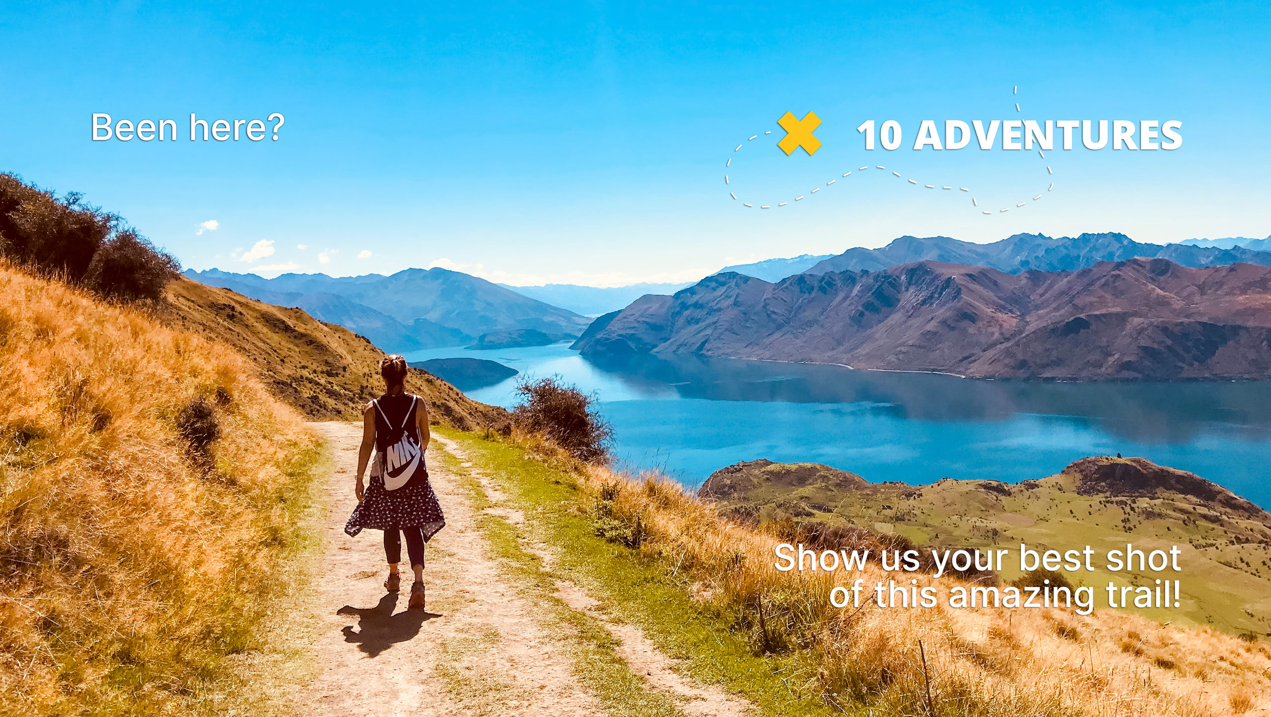
Hale Hut via Placer Trail
Difficulty Rating:
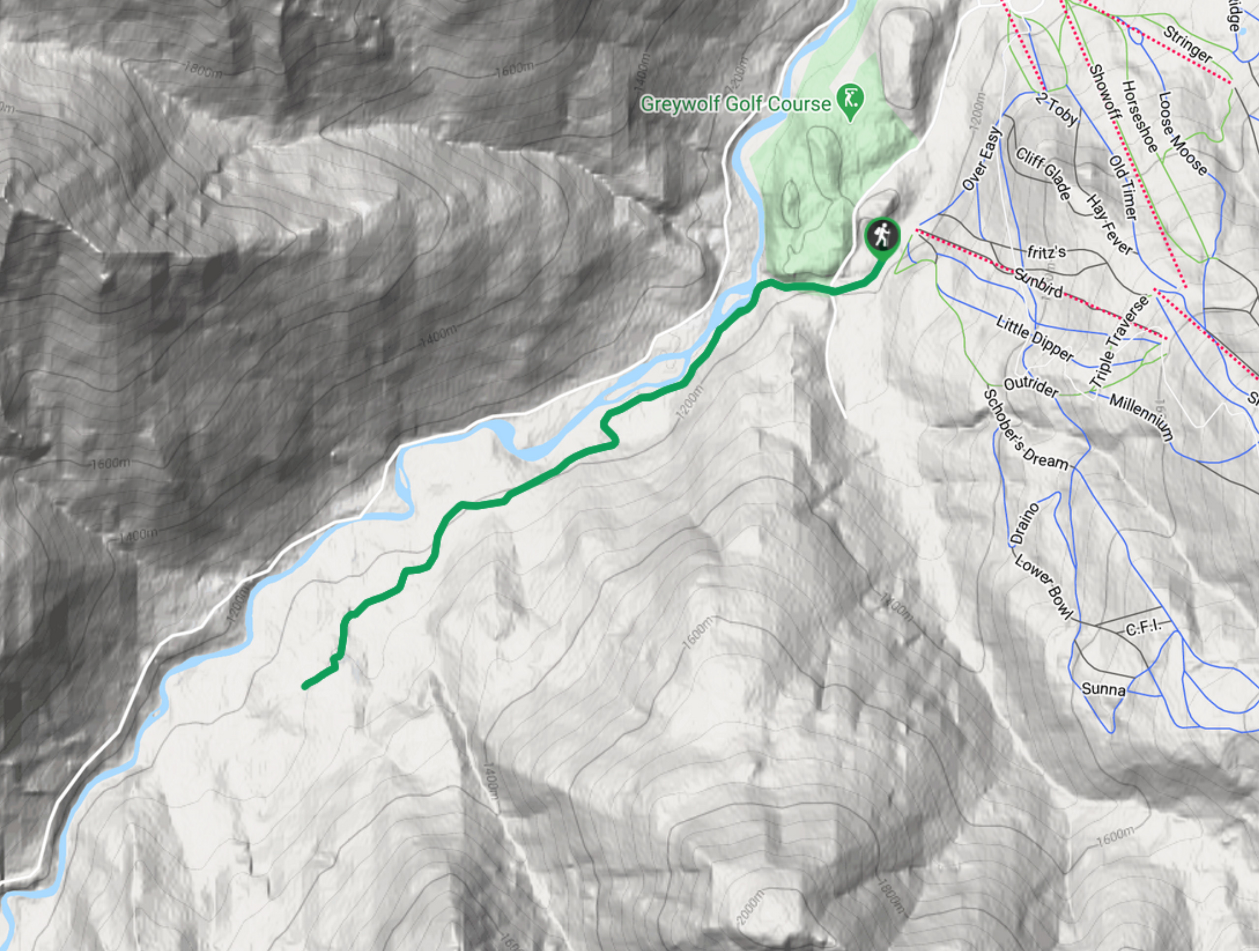
Hale Hut via the Placer Trail is a 4.2mi out-and-back hiking route at the Panorama Mountain Resort near Invermere that will take you uphill through a forested valley to experience scenic views of the beautiful subalpine terrain. The route sets out from the resort and passes by the Greywolf Golf Course before veering towards and following closely alongside Toby Creek as it winds through the valley. This well-maintained and easy-to-navigate trail is also used as a cross-country ski trail in the winter, allowing you to enjoy these incredible views year-round.
Getting there
To reach the trailhead for the Hale Hut via Placer Trail from the Panorama Mountain Resort, drive southeast on Panorama Drive for 1969ft and turn right onto Greywolf Drive. Continue for 0.8mi and turn left to enter the parking area.

About
| When to do | May–November |
| Backcountry Campsites | No |
| Pets allowed | Yes - On Leash |
| Family friendly | Older Children only |
| Route Signage | Average |
| Crowd Levels | Moderate |
| Route Type | Out and back |
Hale Hut via Placer Trail
Elevation Graph
Weather
Hale Hut via Placer Trail Description
Hiking to Hale Hut via the Placer Trail is a great outdoor experience whether you complete the route in the summer or the winter. This multi-use trail is most popular with skiers and hikers, allowing outdoor enthusiasts to enjoy the picturesque views found within this forested valley. This route is easy to traverse with only minor changes in elevation, making it ideal for hikers of all skill levels.
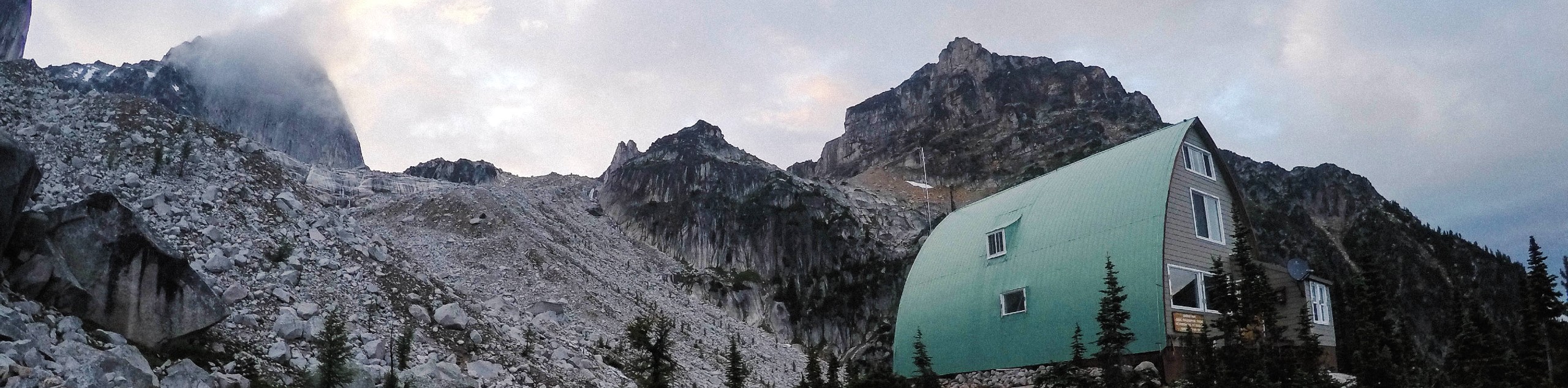
Setting out on the trail, hikers will first pass by the Greywolf Golf Course before veering to the northwest on a route that skirts alongside the rushing waters of Toby Creek. Follow the trail as you pass through the subalpine valley and have some views of the Sultana and Red Line Peaks across the creek. Eventually, you will reach a small warming hut used by cross-country skiers in the winter that is named after Dennis Hale, an avid local skier. After reaching the hut, turn back and retrace your steps while soaking in the beautiful views once more as you make your way back to the trailhead.
Similar hikes to the Hale Hut via Placer Trail hike
Pinto Mountain
The trail to the summit of Pinto Mountain is an 5.4mi out-and-back hiking route that will lead you…
Mount Swansea Tower
Mount Swansea Tower is a 3.8mi lollipop hiking route in the Swansea Mountain Recreation Site near Invermere that…
Conrad Kain Hut Trail
The Conrad Kain Hut Trail is a 5.6mi out-and-back hiking route near Invermere, BC, that climbs through beautiful…
Comments