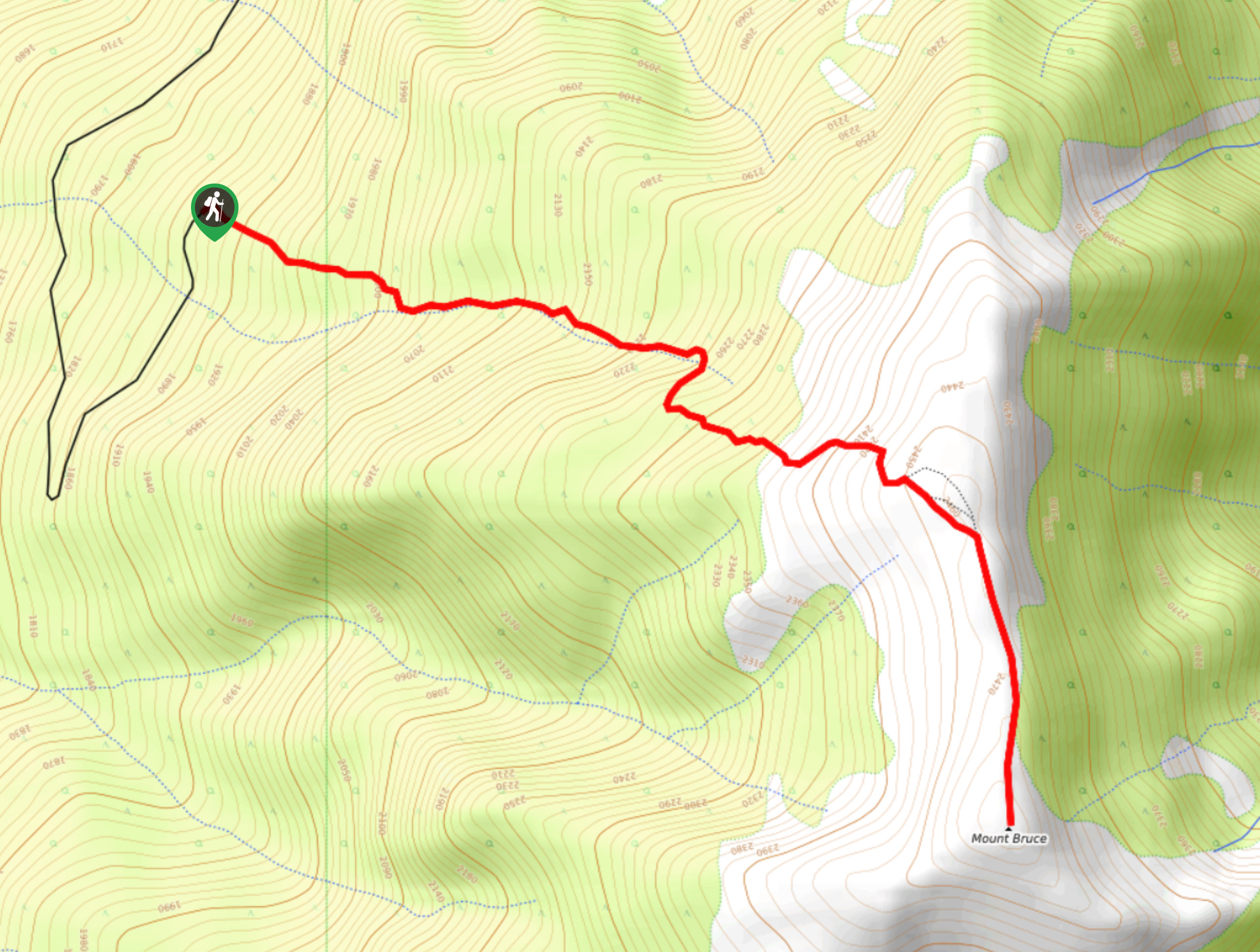
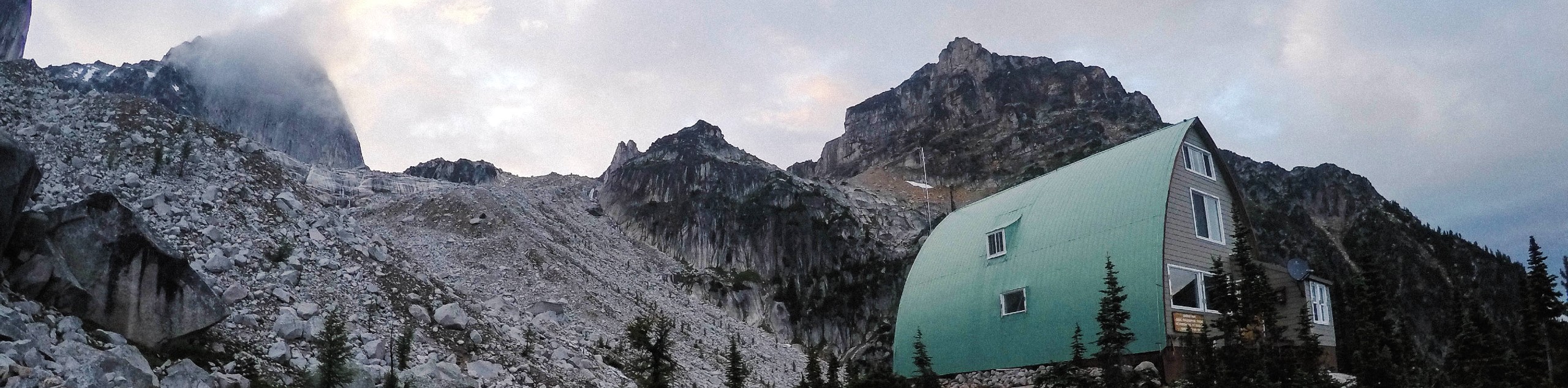
Mount Bruce
View Photos
Mount Bruce
Difficulty Rating:
Mount Bruce is a 4.0mi out-and-back hiking route near Invermere, BC, that will take you through a nice variety of terrain to reach several viewpoints at the summit. Along the hike, you will pass through beautiful stretches of new-growth forest, charming meadows, and over rocky shale to be greeted by views over the Columbia Valley, Lake Windermere, and the Panorama Mountain Resort. Accessing the trailhead can be difficult and is best attempted with a 4x4 high clearance vehicle.
Getting there
To reach the trailhead for Mount Bruce from Wilmer, head west on Horsethief Road for 2.4mi. The road will veer left and become Bruce Creek FSR. Continue for 8.5mi and turn left, following the road for 3.9mi to find the trailhead.

About
| When to do | June–October |
| Backcountry Campsites | No |
| Pets allowed | Yes - On Leash |
| Family friendly | Older Children only |
| Route Signage | Average |
| Crowd Levels | Moderate |
| Route Type | Out and back |
Mount Bruce
Elevation Graph
Weather
Mount Bruce Trail Description
The trek up to Mount Bruce is a fun hike with a lot of variation in scenery and terrain that will keep you entertained while out on the trail. The initial two kilometres of the hike pass through a serene stretch of new-growth forests before crossing over the rushing waters of a creek. From here, hikers will make their way through some patches of old-growth trees and continue to climb uphill along some rocky terrain that is mostly made up of shale. This portion is not overly technical or difficult, providing a nice variation in terrain from the previous sections of the forest. Continuing uphill, you will hike through a scenic meadow to the summit, where you can experience views across the surrounding landscape from different vantage points. Looking out to the east, you will have a sightline across the Columbia Valley and Lake Windermere, and to the south, you can spot Tobey Creek and the Panorama Mountain Resort. After taking in the views, head back down the same route to return to the trailhead.
Similar hikes to the Mount Bruce hike
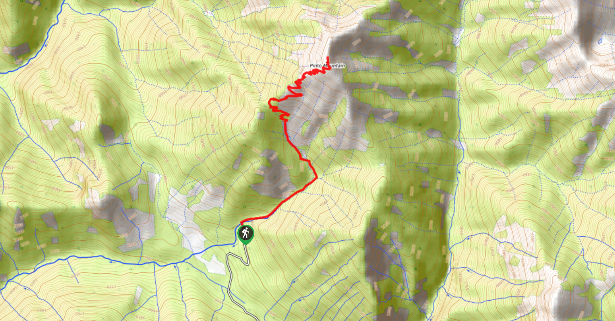
Pinto Mountain
The trail to the summit of Pinto Mountain is an 5.4mi out-and-back hiking route that will lead you…
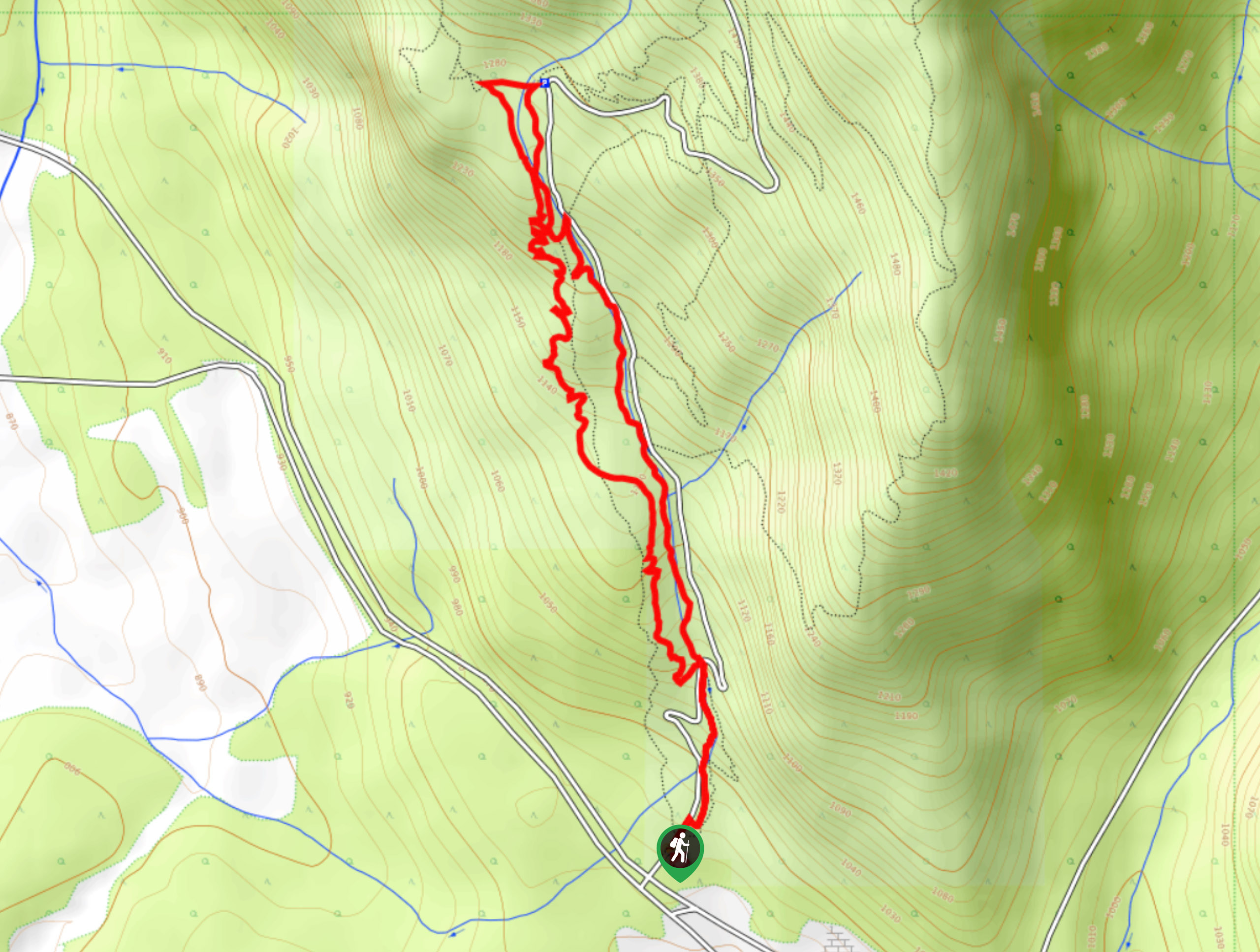
Mount Swansea Tower
Mount Swansea Tower is a 3.8mi lollipop hiking route in the Swansea Mountain Recreation Site near Invermere that…
Conrad Kain Hut Trail
The Conrad Kain Hut Trail is a 5.6mi out-and-back hiking route near Invermere, BC, that climbs through beautiful…
Comments