Hoodoo Trail
View Photos
Hoodoo Trail
Difficulty Rating:
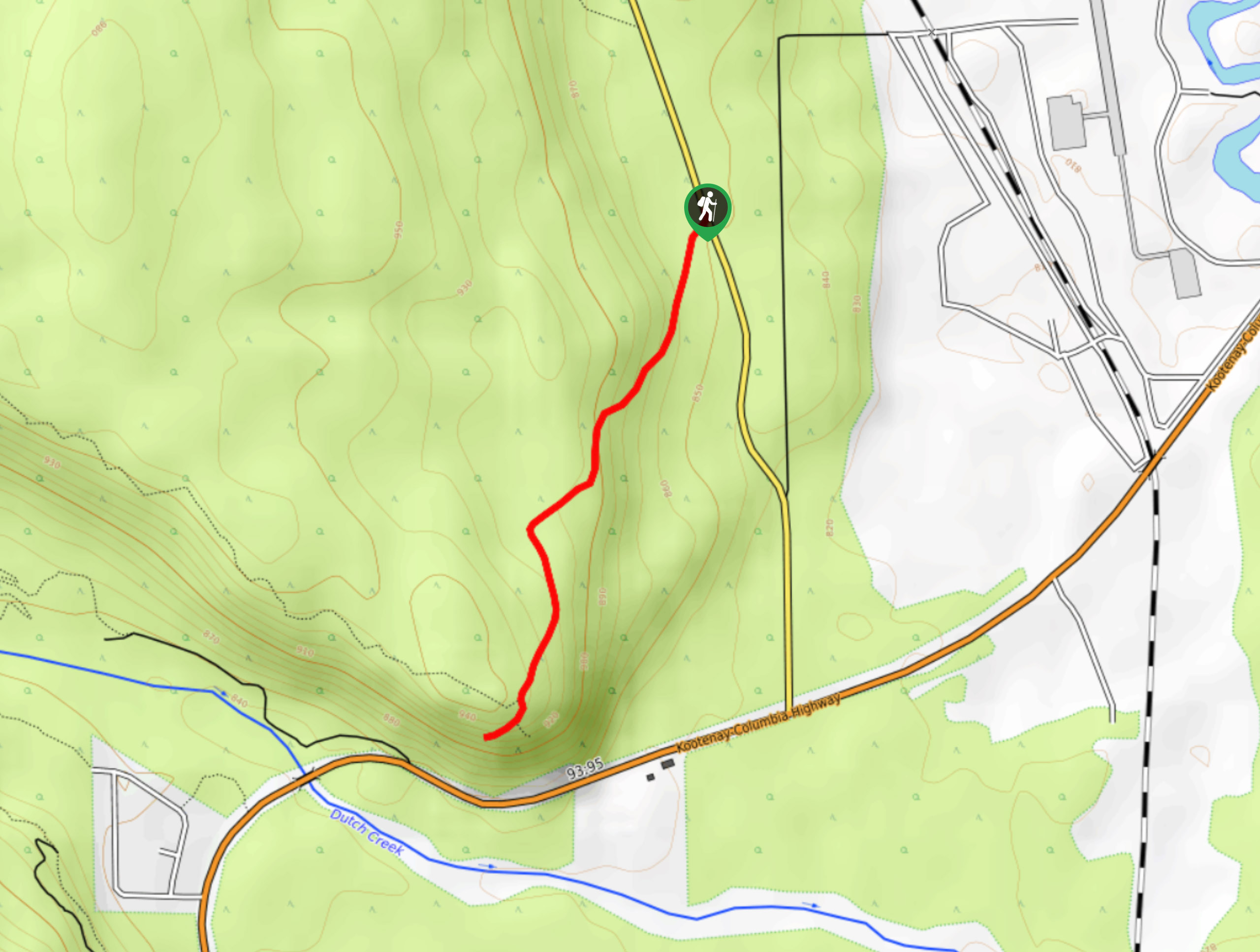
The Hoodoo Trail is a quick 2.0mi out-and-back hiking route south of Invermere, BC, that will take hikers to a cliffside lookout over the headwaters of the Columbia River. From this scenic vantage point, you will have views that stretch across the valley and include nearby mountains, including Fairmont Mountain and Mount De Smet, to the southeast. This trail can become icy later in the season, so make sure to bring microspikes
Getting there
To reach the Hoodoo Trail from Invermere, drive south on 13 Avenue for 1.2mi and keep straight onto Westside Road. After 14.1mi, you will find the trailhead on the right.

About
| When to do | June–October |
| Backcountry Campsites | No |
| Pets allowed | Yes - On Leash |
| Family friendly | Yes |
| Route Signage | Average |
| Crowd Levels | High |
| Route Type | Out and back |
Hoodoo Trail
Elevation Graph
Weather
Hoodoo Trail Description
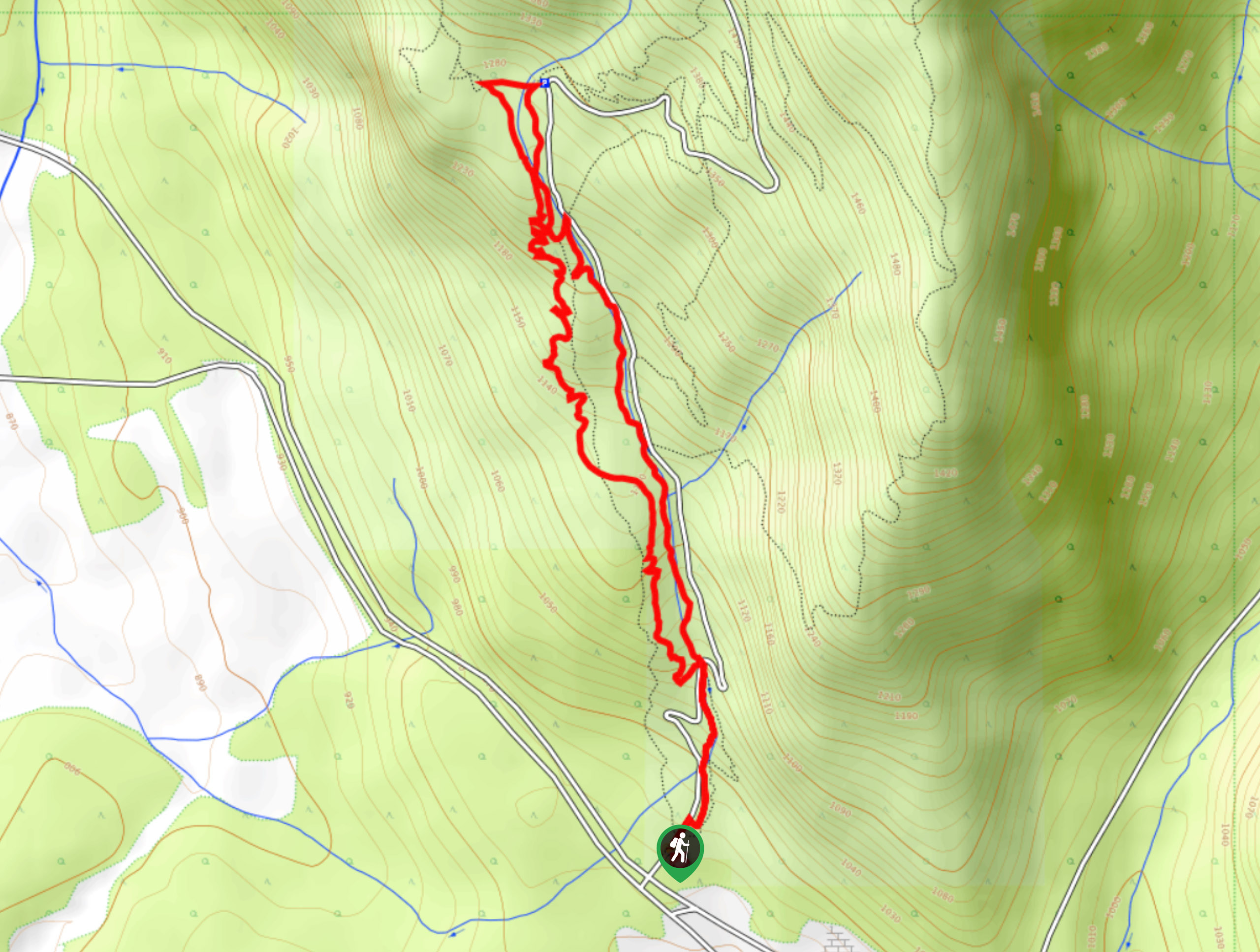
Hiking the Hoodoo Trail is a fun outdoor experience that will provide you with superb scenic views overlooking the Fairmont Hot Springs area. The trail itself comprises well-maintained and easy-to-navigate gravel and dirt paths that climb gently uphill to the lookout, making it suitable for hikers of all skill levels. The only issue is that the trails can become blanketed with ice during the winter, so remember to bring microspikes if you are hiking this route later in the season. Additionally, hikers should bring bear spray along on this trail as these animals are sometimes spotted in the area.
While the route may be short, it certainly makes up for it with some breathtaking views overlooking the beautiful valley landscape. The trail initially sets out from the parking area and climbs gently through some light forest cover before venturing into a thicker stretch of trees on the approach to the lookout. After about 1.5km, you will exit the tree cover and come to a sandy cliff with a fairly steep drop-off. From here, hikers will have stunning views over the headwaters of the Columbia River and a sightline through the valley with rugged mountain ranges on either side. After exploring the area and taking in the beautiful views, head back down the forested trail to return to your vehicle.
Similar hikes to the Hoodoo Trail hike
Mount Swansea Tower
Mount Swansea Tower is a 3.8mi lollipop hiking route in the Swansea Mountain Recreation Site near Invermere that…
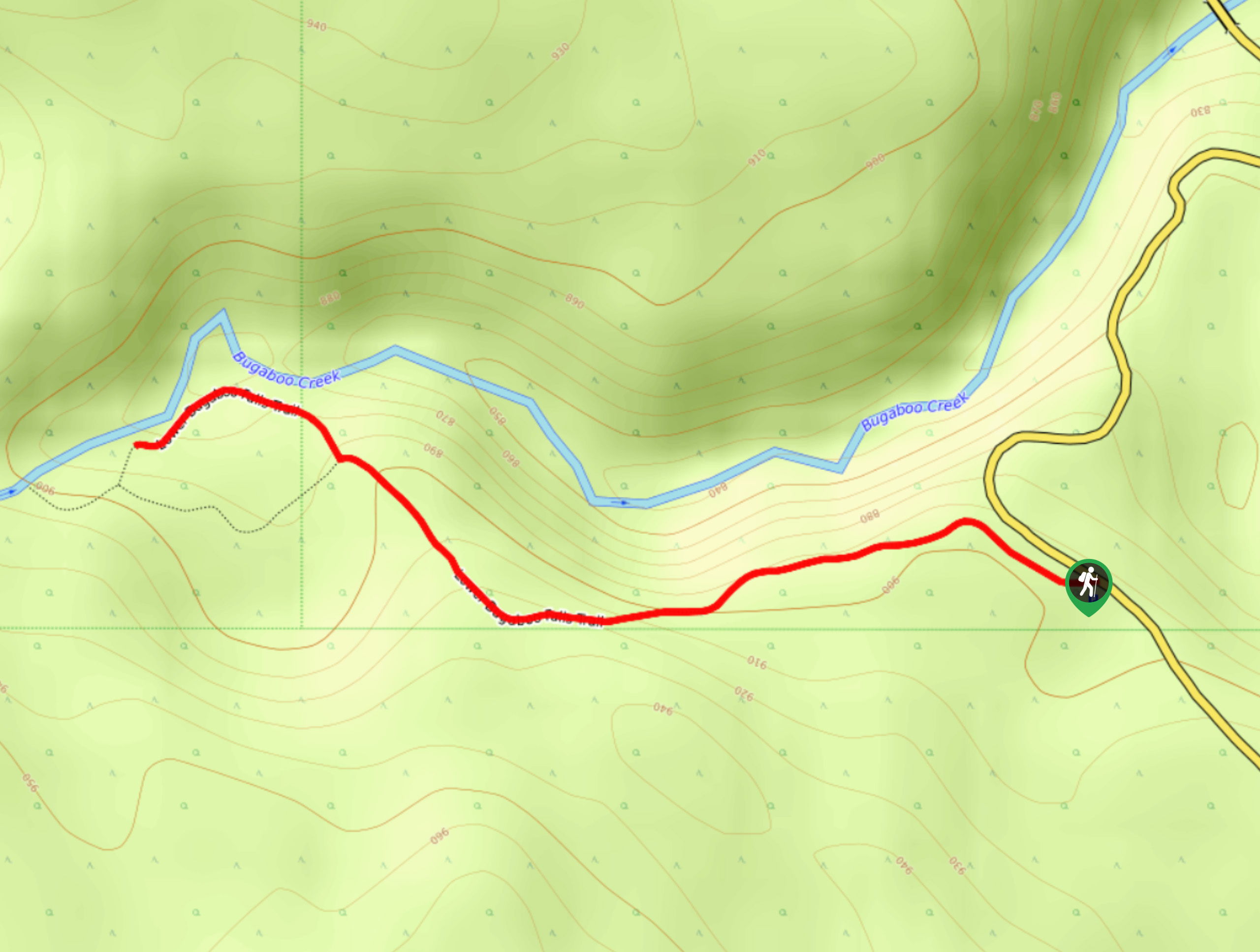
Lower Bugaboo Falls
Lower Bugaboo Falls is a 1.6mi out-and-back hiking route northwest of Invermere that will allow hikers to experience…
Hale Hut via Placer Trail
Hale Hut via the Placer Trail is a 4.2mi out-and-back hiking route at the Panorama Mountain Resort near…
Comments