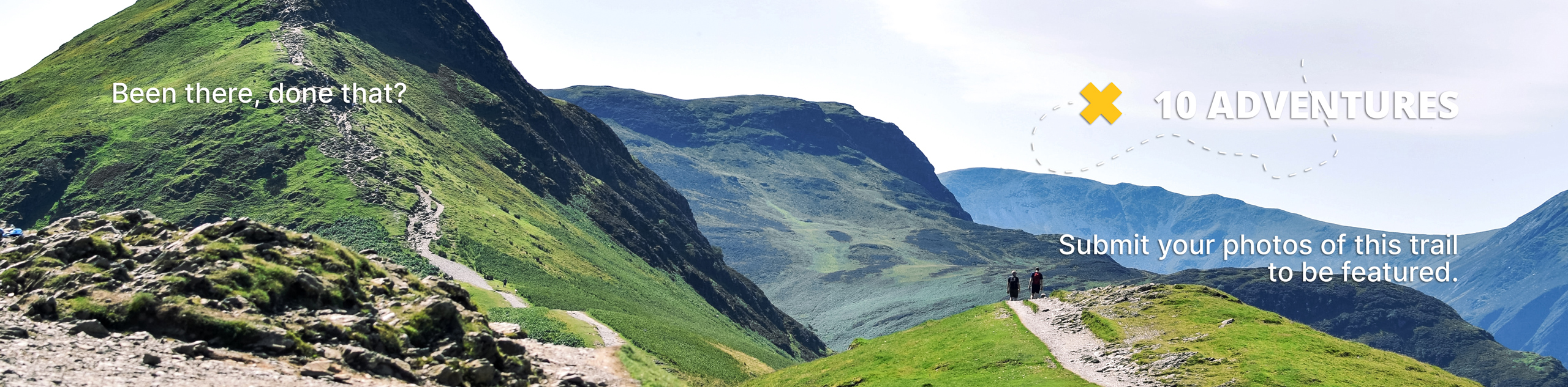
Mount Brewer
View Photos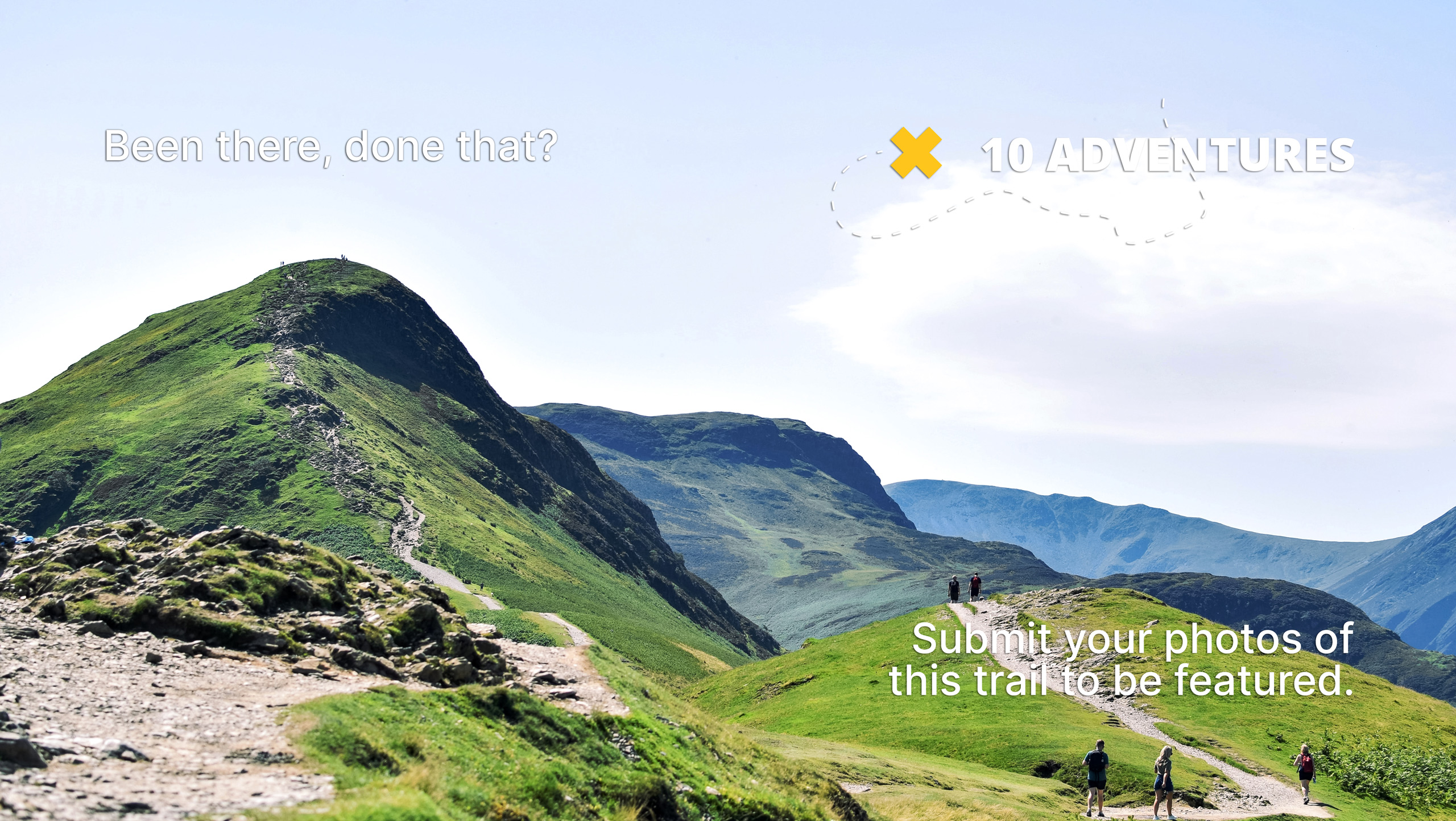
Mount Brewer
Difficulty Rating:
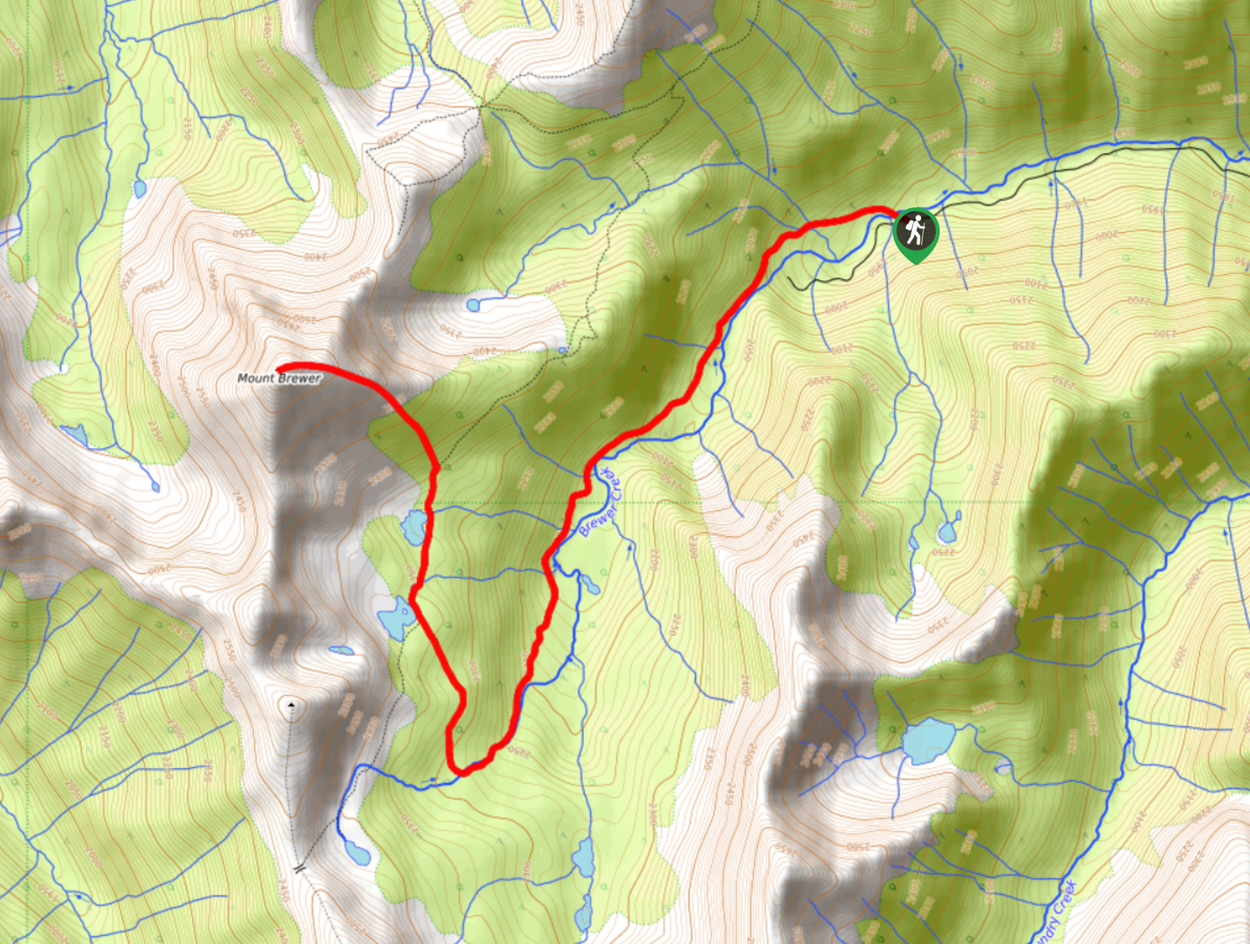
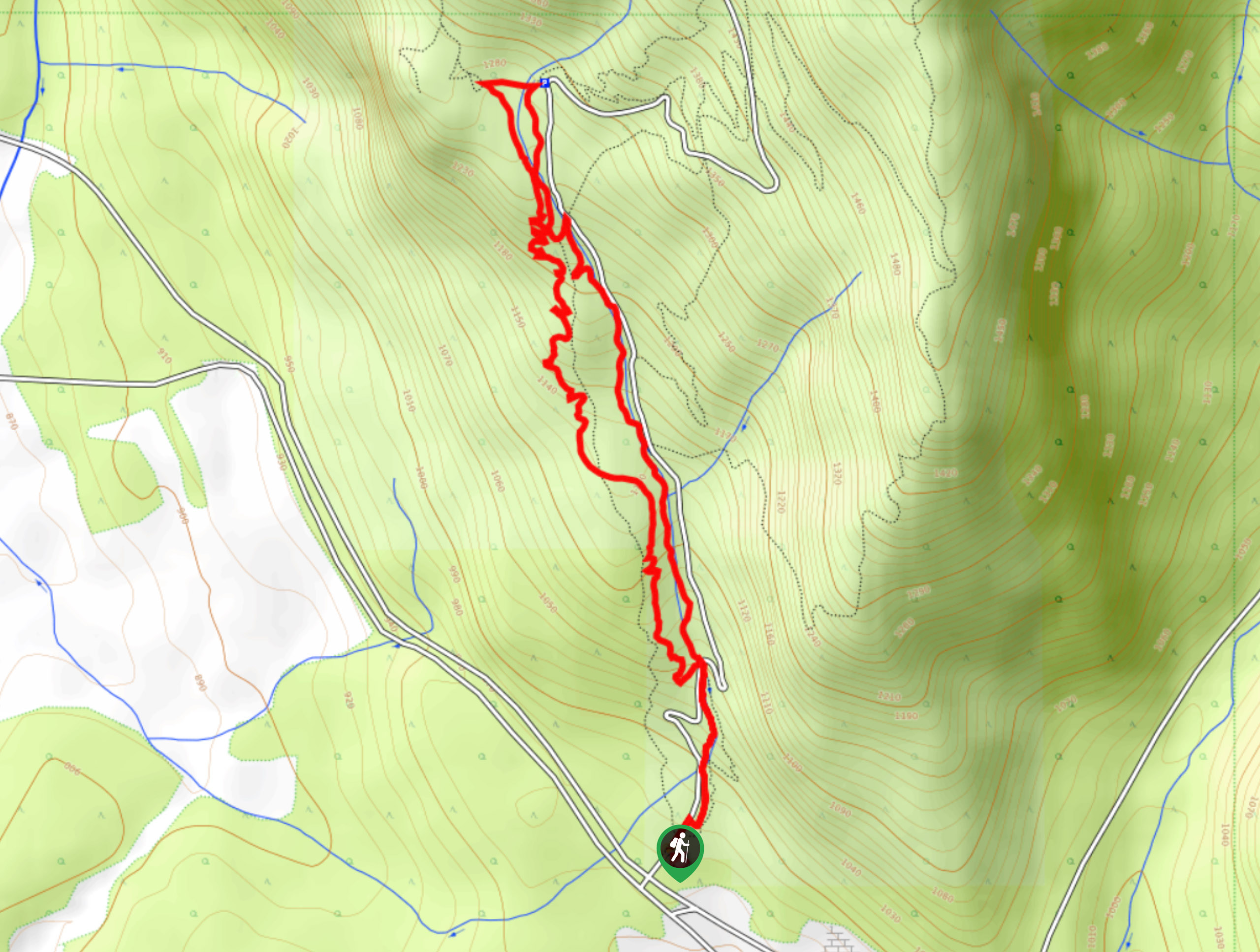
The Mount Brewer trail is a 8.0mi out-and-back hiking route that will take hikers through a small valley alongside the flowing waters of Brewer Creek before turning to the north on a course towards the summit of the mountain. From the viewpoint at the summit, you will have amazing views that stretch across the rugged landscape and provide a sightline over countless peaks within the Purcell Range. It is recommended to make the drive into the trailhead with a 4x4 high clearance vehicle due to the rugged nature of the roads.
Getting there
To get to the Mount Brewer trailhead from Invermere, drive south for 1.1mi on 13 Avenue and continue straight onto Westside Road for 2.4mi. Make a right turn and follow the road for 3.9mi before making a left turn. After 4.1mi, turn right and continue straight for 1.8mi, where you will make a second right turn. From this point, continue straight for 2.2mi and make another right turn, keeping on the road for 9.7mi to reach the trailhead.

About
| When to do | June–October |
| Backcountry Campsites | No |
| Pets allowed | Yes - On Leash |
| Family friendly | No |
| Route Signage | Average |
| Crowd Levels | Low |
| Route Type | Out and back |
Mount Brewer
Elevation Graph
Weather
Mount Brewer Trail Description
Hiking up to Mount Brewer is a challenging uphill climb that will reward you with some truly fantastic views over the surrounding landscape. The trail initially follows Brewer Creek, utilizing the same route leading to Brewer Lake; however, when you reach the junction, this trail turns north on a course to tackle the summit. If you time your hike for autumn, you will witness the golden larches that dot the landscape and paint it with their warm, glowing colour.
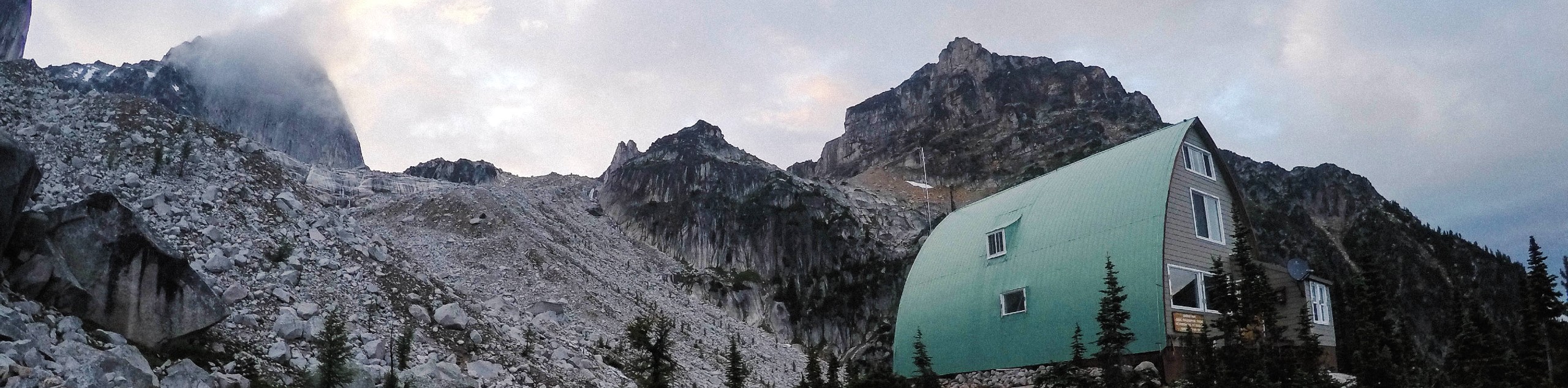
This upper portion of the hike is the steepest and requires some light scrambling, although these sections can be completely covered with snow later on in the hiking season. After pushing your way up to the summit, you will be greeted with spectacular views looking out over the Purcell Range, with Mount Goldie and the Panorama Mountain Resort to the north. After absorbing the breathtaking views, head back down the trail to return to your vehicle.
Similar hikes to the Mount Brewer hike
Pinto Mountain
The trail to the summit of Pinto Mountain is an 5.4mi out-and-back hiking route that will lead you…
Mount Swansea Tower
Mount Swansea Tower is a 3.8mi lollipop hiking route in the Swansea Mountain Recreation Site near Invermere that…
Conrad Kain Hut Trail
The Conrad Kain Hut Trail is a 5.6mi out-and-back hiking route near Invermere, BC, that climbs through beautiful…
Comments