
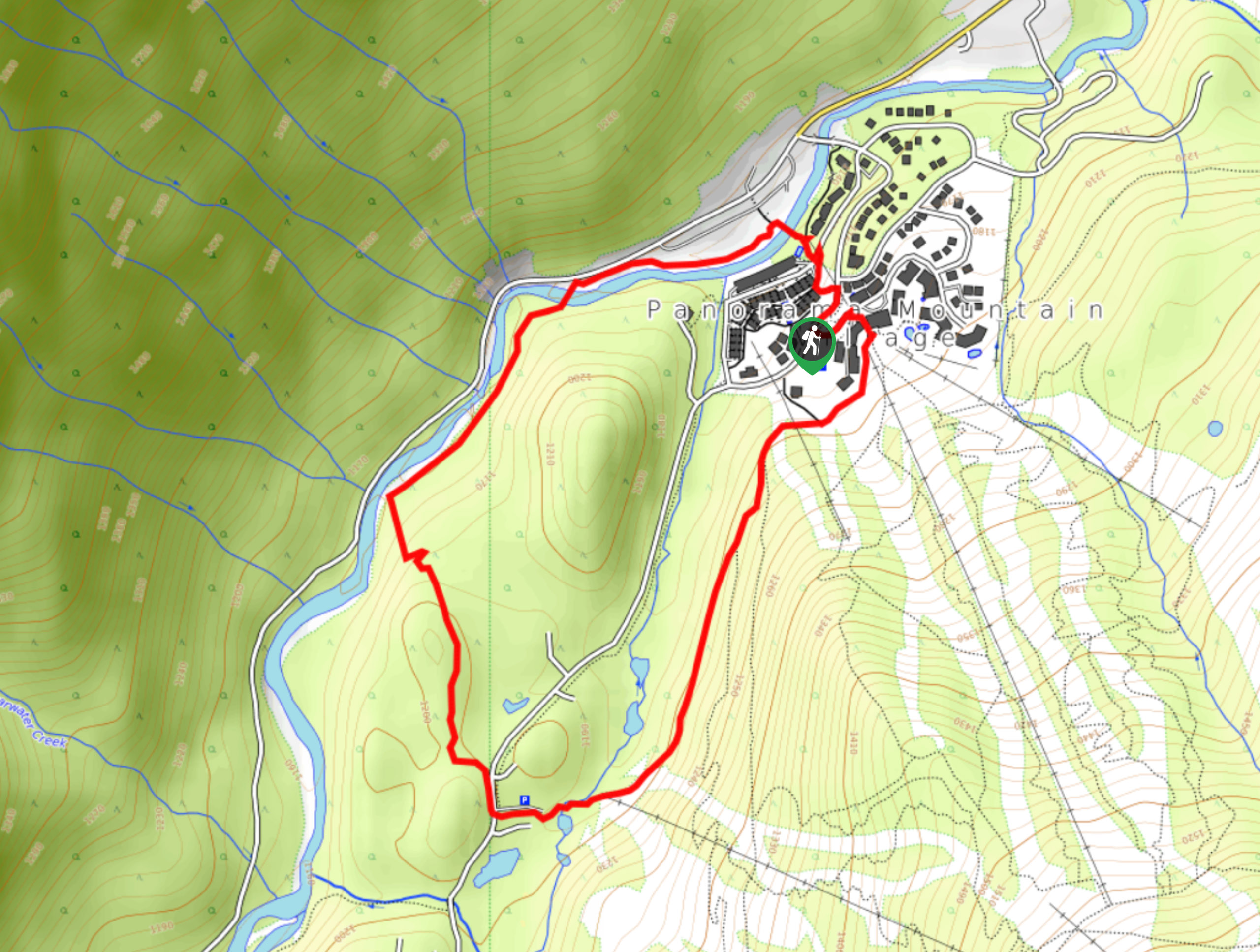
Valley Loop
View Photos
Valley Loop
Difficulty Rating:
The Valley Loop is a 3.0mi hiking route near Invermere, BC, that sets out from the Panorama Mountain Resort and travels in a circuit alongside Toby Creek and the Greywolf Golf Course. With relatively easy terrain and a short overall distance, this is a great trail for hikers of all skill levels. For those looking to extend their hike for a bit more of a challenge, try some of the connected trails that branch off and work their way up the mountainside.
Getting there
To get to the trailhead for the Valley Loop from Invermere, head northwest along Panorama Drive for 0.8mi and continue straight on Toby Creek Road. After 11.2mi, take a left on Panorama Drive and a slight right after 525ft to stay on the same road. Turn right on Summit Drive in 1640ft, where you will be able to enter the parking lot on the right.

About
| When to do | May–November |
| Backcountry Campsites | No |
| Pets allowed | Yes - On Leash |
| Family friendly | Yes |
| Route Signage | Average |
| Crowd Levels | Low |
| Route Type | Circuit |
Valley Loop
Elevation Graph
Weather
Valley Loop Trail Description
Hiking along the Valley Loop is a scenic experience near the Panorama Mountain resort that will allow you to fully appreciate the natural beauty of the subalpine landscape in this region. Although it is very close to the resort, the pristine golf course setting and picturesque mountain views create an idyllic atmosphere that is pleasant to hike through.
From the trailhead, follow the path to the southwest as you pass through intermittent tree cover and have the golf course on your right side. Enjoy the beautiful views across the valley as you cut across the course and follow a parallel path to Toby Creek. Follow alongside the rushing waters of the creek and enjoy the mountain views on either side of you before crossing a bridge over the creek and making your way back to the trailhead. After you’ve completed your hike, head into the lodge for some refreshments or continue to explore the area around the resort.
Similar hikes to the Valley Loop hike
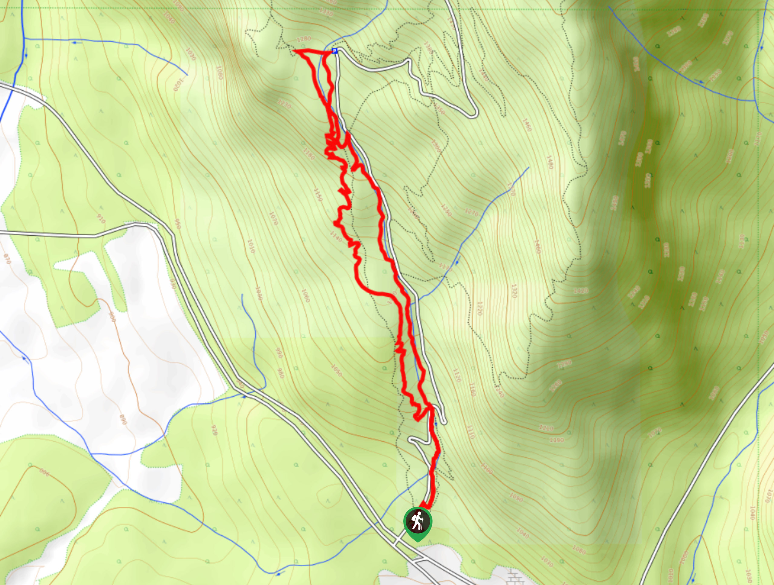
Mount Swansea Tower
Mount Swansea Tower is a 3.8mi lollipop hiking route in the Swansea Mountain Recreation Site near Invermere that…
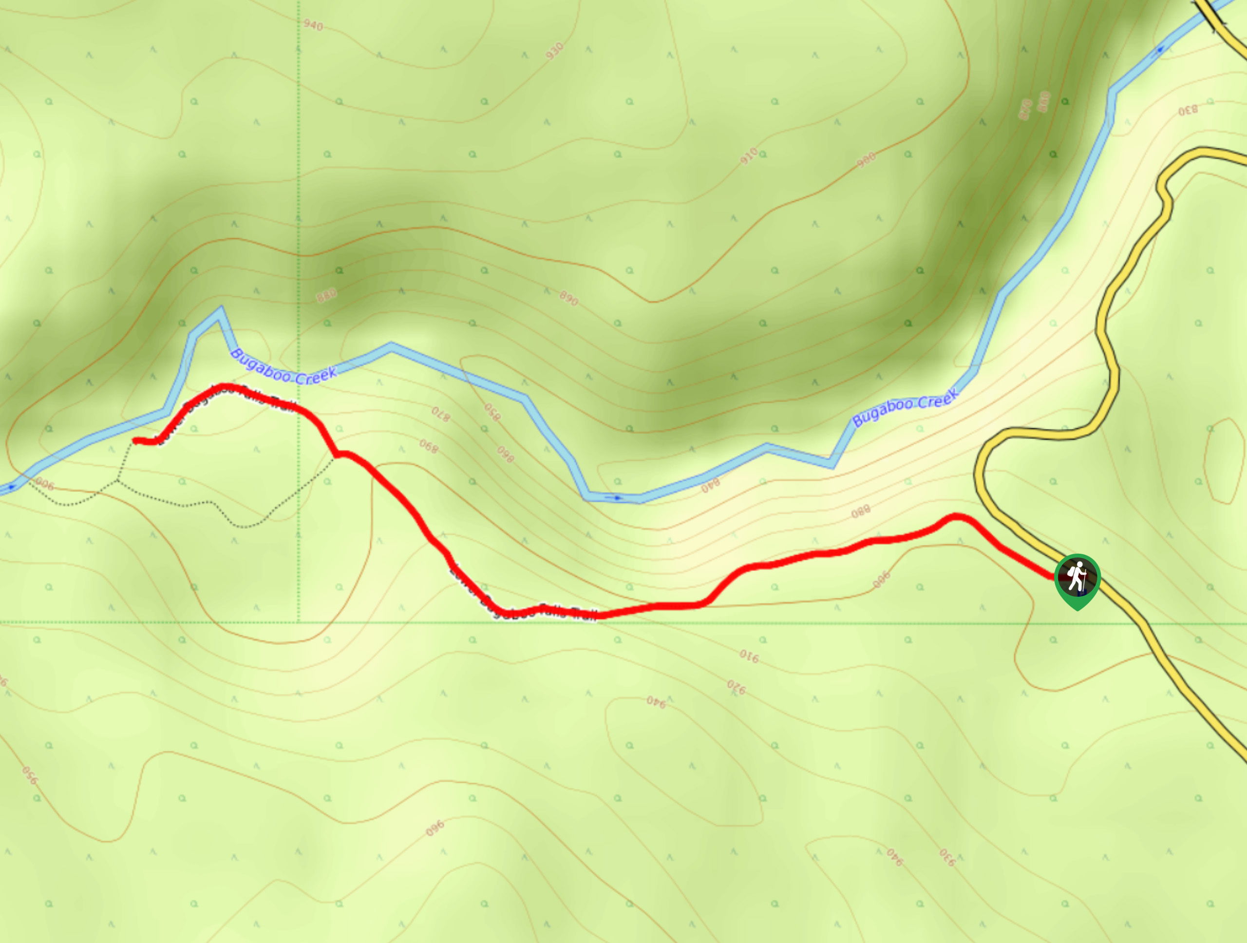
Lower Bugaboo Falls
Lower Bugaboo Falls is a 1.6mi out-and-back hiking route northwest of Invermere that will allow hikers to experience…
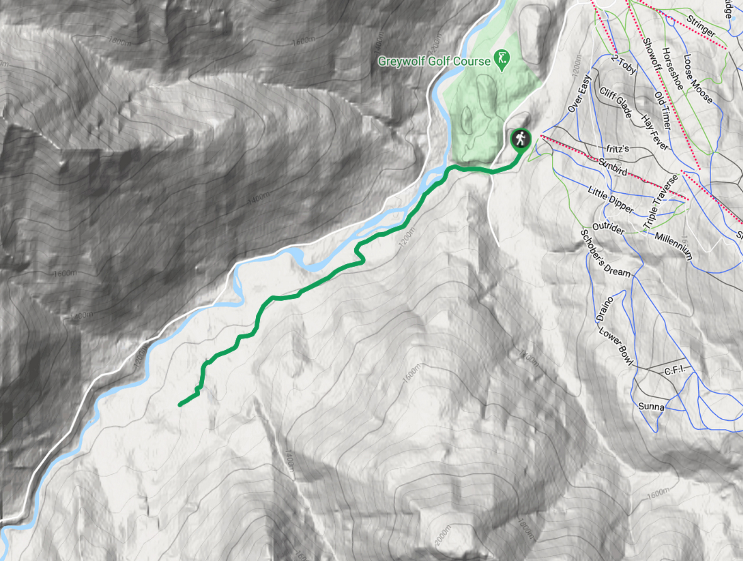
Hale Hut via Placer Trail
Hale Hut via the Placer Trail is a 4.2mi out-and-back hiking route at the Panorama Mountain Resort near…
Comments