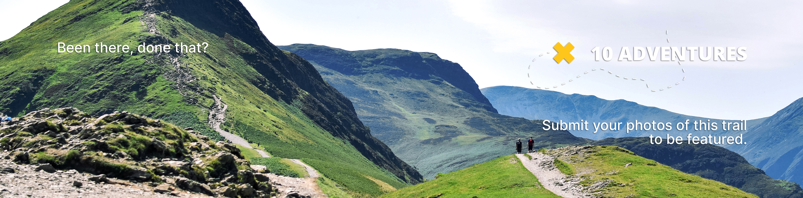
Valley View Trail
View Photos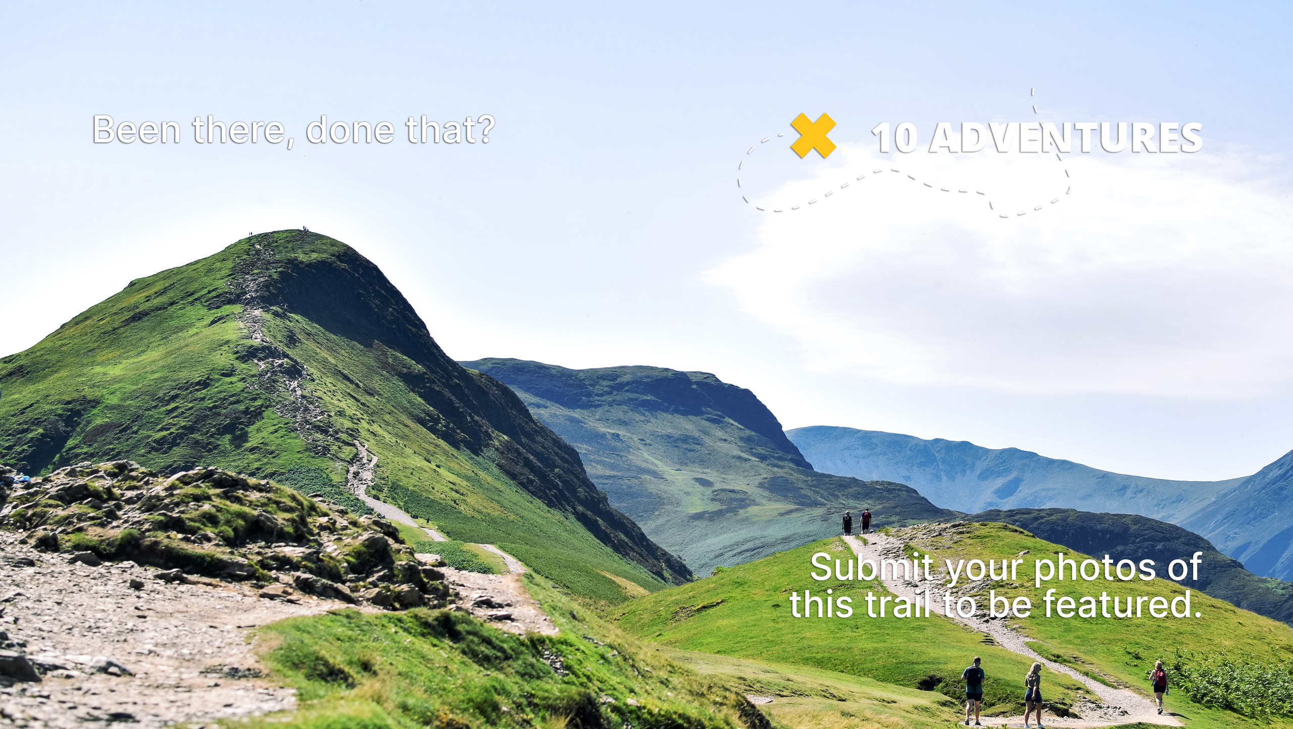
Valley View Trail
Difficulty Rating:
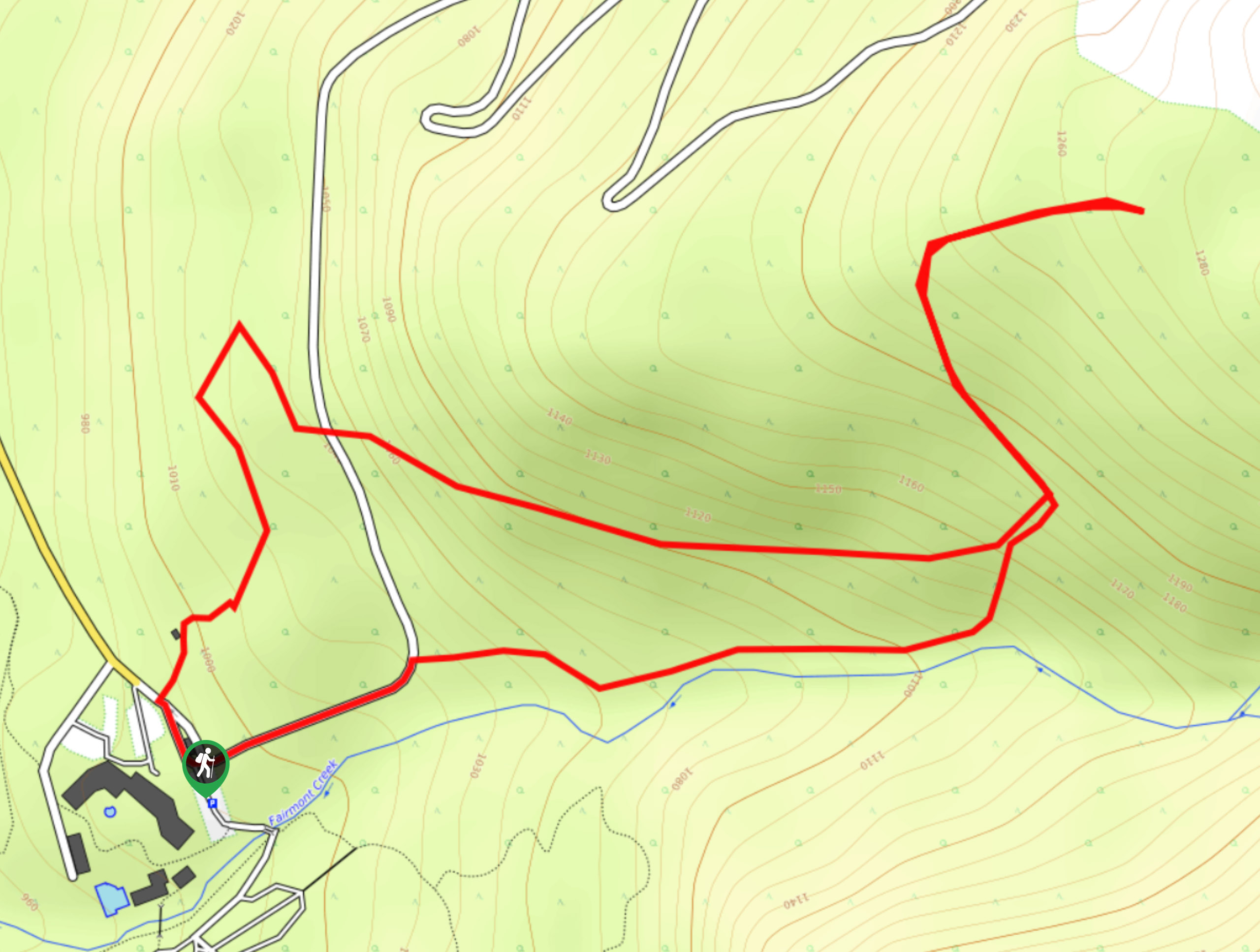
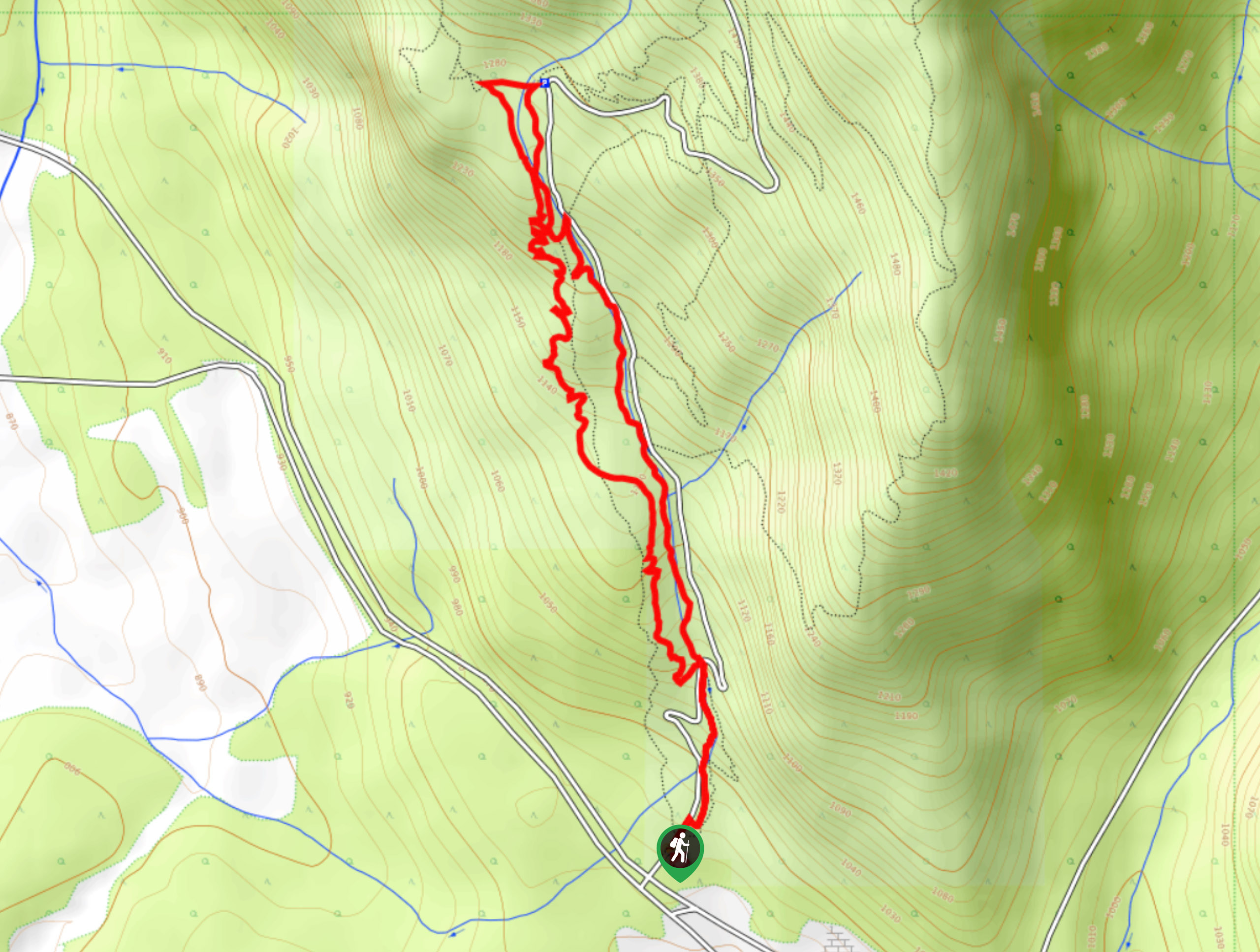
The Valley View Trail is a 2.9mi hiking route in Fairmont Hot Springs near Invermere that will take you uphill along a forested trail to a lookout with some nice views of the Columbia Valley. With decently easy terrain and a small gain in elevation, hikers of most skill levels can enjoy this route. Alternatively, hikers can walk up the old road to reach a higher viewpoint nearer to the ski slopes.
Getting there
To reach the Valley View Trail from Invermere, take Highway BC-93 southeast for 14.3mi and make a left turn onto Fairmont Resort Road. After 0.9mi, you will arrive at the parking area.

About
| When to do | May–November |
| Backcountry Campsites | No |
| Pets allowed | Yes - On Leash |
| Family friendly | Older Children only |
| Route Signage | Average |
| Crowd Levels | Moderate |
| Route Type | Circuit |
Valley View Trail
Elevation Graph
Weather
Valley View Trail Description
Hiking the Valley View Trail is a quick outing in Fairmont Hot Springs that will allow you to enjoy the woodland beauty of the surrounding landscape. The trail sets out from the parking lot and climbs uphill along a densely forested path that will provide a pleasant, relaxing atmosphere as you work your way up towards the ski slopes. Eventually, the route will turn to the north and a bit more sharply uphill. Along this portion of the trail, you will have some views through the tree cover of the Columbia Valley below and the surrounding mountains. Reaching the top of the trail, you will begin to descend to the portion of the hike that runs parallel to Fairmont Creek. Follow the flowing waters of the creek to eventually return to the trailhead where you began your hike.
Similar hikes to the Valley View Trail hike
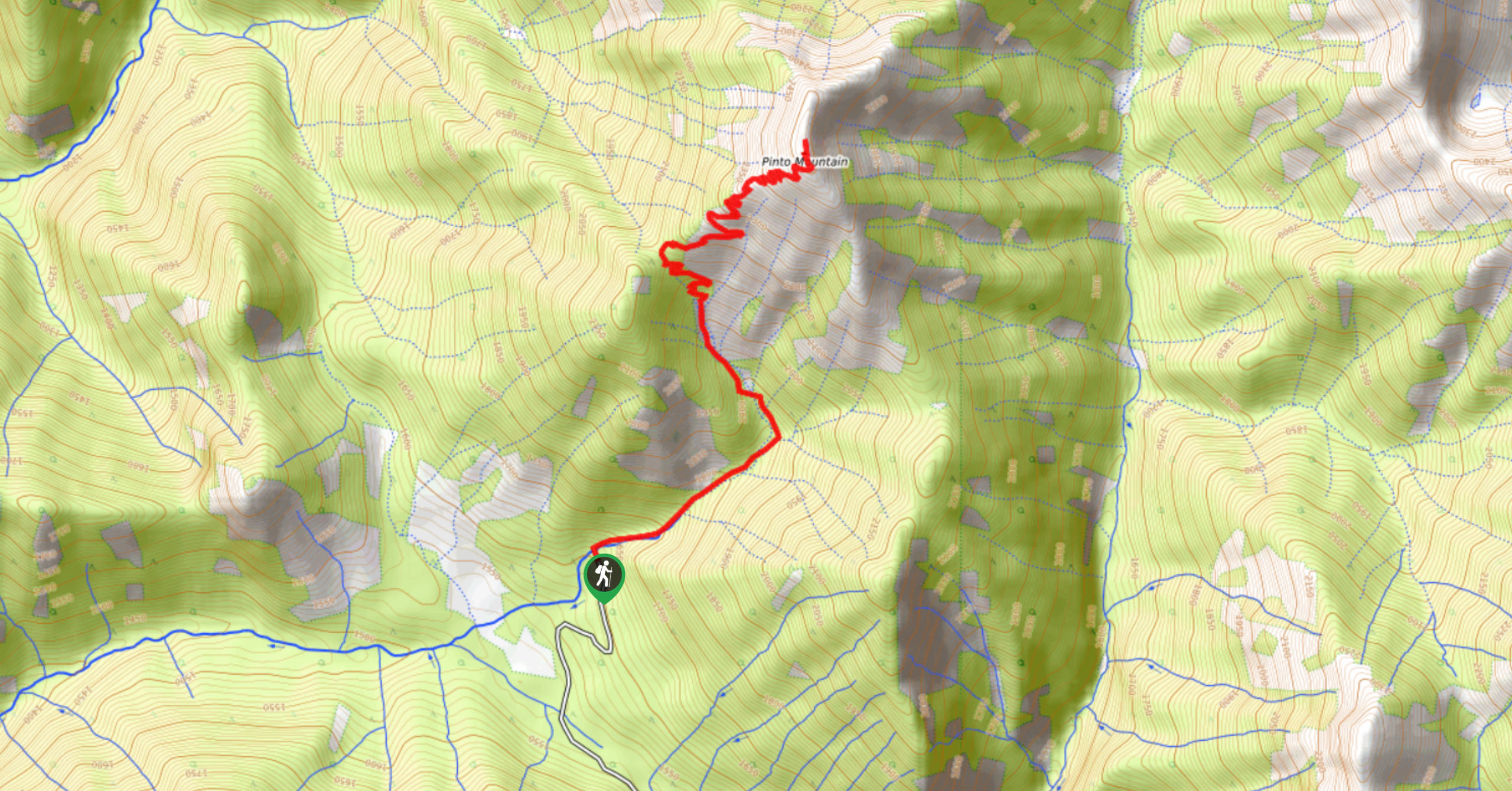
Pinto Mountain
The trail to the summit of Pinto Mountain is an 5.4mi out-and-back hiking route that will lead you…
Mount Swansea Tower
Mount Swansea Tower is a 3.8mi lollipop hiking route in the Swansea Mountain Recreation Site near Invermere that…
Conrad Kain Hut Trail
The Conrad Kain Hut Trail is a 5.6mi out-and-back hiking route near Invermere, BC, that climbs through beautiful…
Comments