
Taynton Trail
View Photos
Taynton Trail
Difficulty Rating:
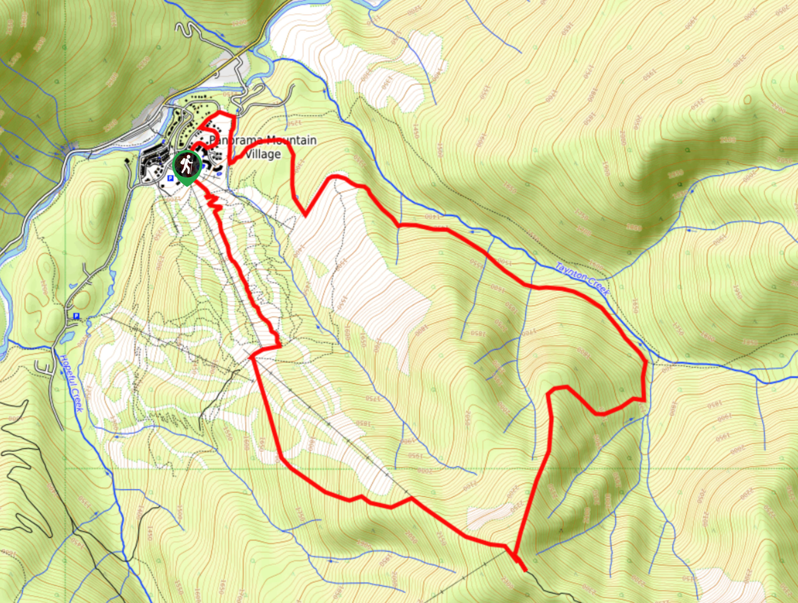
The Taynton Trail is a 8.5mi hiking route at the Panorama Mountain Resort near Invermere that climbs up the mountain along several ski slopes to provide hikers with scenic views of the valley. Although much of the hike follows specific trails, portions of this one are off-trail and require a GPS or basic route-finding abilities to stay on the correct route. Make sure to end this hike at one of the lodges at the resort for some much deserved refreshments after this tough hike.
Getting there
To get to the Taynton Trail trailhead from Invermere, make your way northwest for 0.8mi along Panorama Drive and continue on Toby Creek Road. After 11.2mi, make a left turn on Panorama Drive and a slight right after 525ft to stay on the road. In 1640ft, make a right turn on Summit Drive and you will find the parking lot on your right.

About
| When to do | June–September |
| Backcountry Campsites | No |
| Pets allowed | No |
| Family friendly | No |
| Route Signage | Average |
| Crowd Levels | Low |
| Route Type | Circuit |
Taynton Trail
Elevation Graph
Weather
Taynton Trail Description
Hiking the Taynton Trail is a tough but fun way to gain a different perspective of the Panorama Mountain Resort and its many ski runs. This hike climbs uphill along several different runs and uses some off-trail portions to create a challenging hiking loop through the mountainous terrain. Along this hike, you will experience amazing views of Mount Goldie as you hike up towards it, as well as the Sultana and Red Line Peaks across the valley as you descend the mountainside.
As the trail begins at the resort and climbs uphill alongside Taynton Creek, you will be working along a steep route that pops in and out of the tree cover as you cut across the various ski runs on the mountain. Near the top of the trail, you will pass by the Summit Hut and Elk Horn Cabin, both of which offer the chance to refuel with some refreshments before heading back downhill to the parking lot below. If you want to extend your hike further, you can explore the many trails that can be found along the lower slopes of the resort.
Similar hikes to the Taynton Trail hike
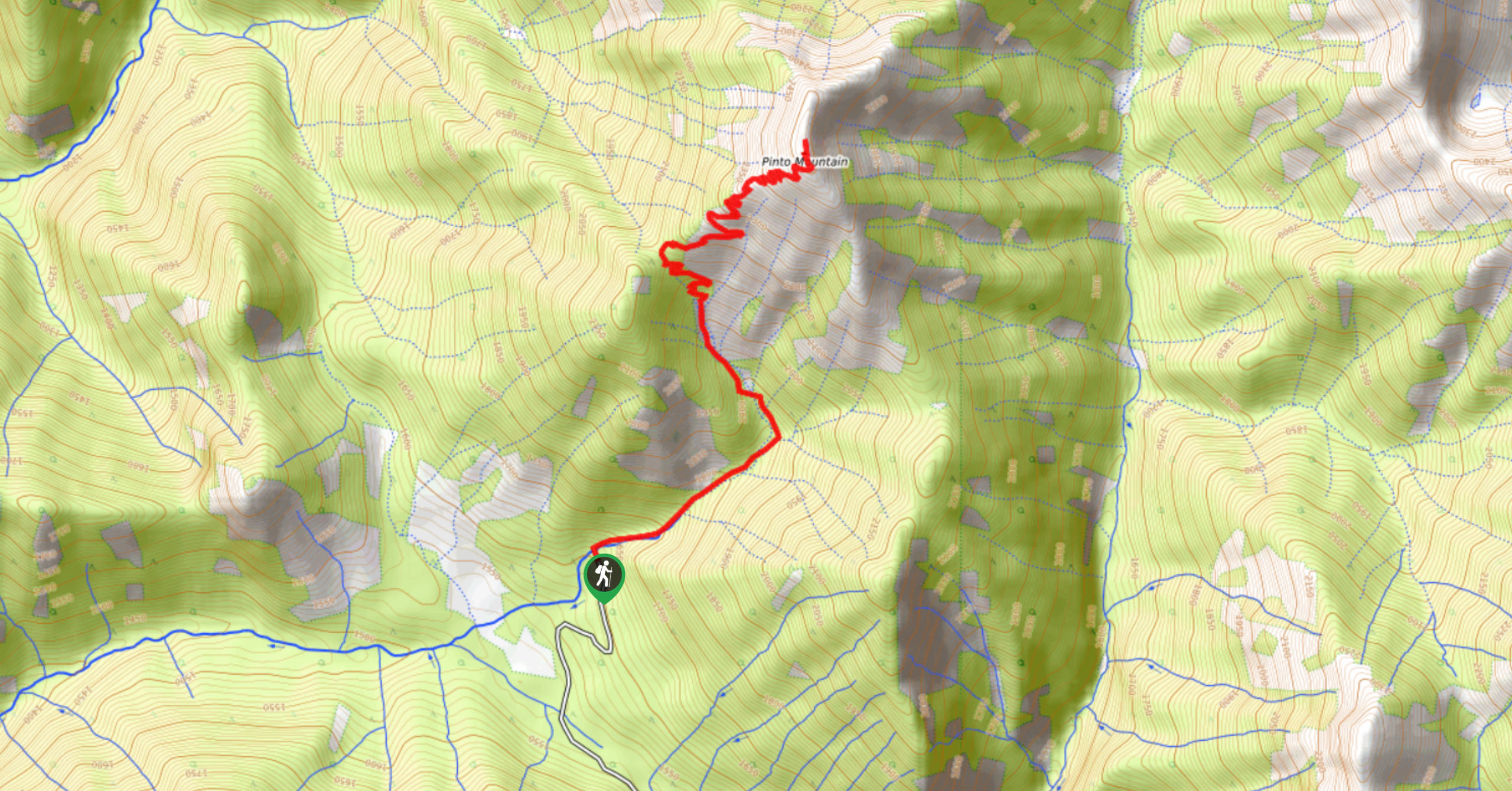
Pinto Mountain
The trail to the summit of Pinto Mountain is an 5.4mi out-and-back hiking route that will lead you…
Mount Swansea Tower
Mount Swansea Tower is a 3.8mi lollipop hiking route in the Swansea Mountain Recreation Site near Invermere that…
Conrad Kain Hut Trail
The Conrad Kain Hut Trail is a 5.6mi out-and-back hiking route near Invermere, BC, that climbs through beautiful…
Comments