Deja View/Old Coach Trail Loop
View Photos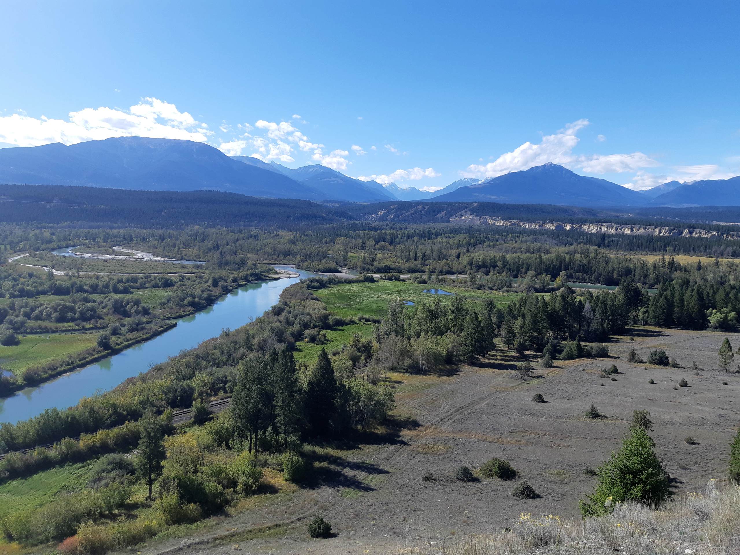
Deja View/Old Coach Trail Loop
Difficulty Rating:
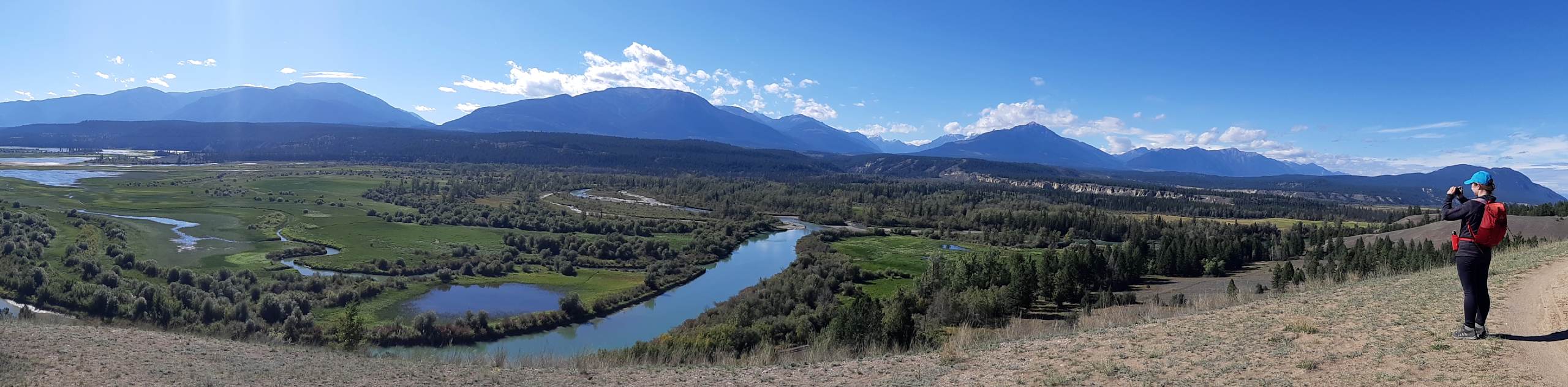
The Deja View/Old Coach Trail Loop is a 9.6mi hiking route near Invermere, BC, made up of several trails to form a multi-use circuit along the Columbia River Escarpment. Along this meandering route, you will have some phenomenal views overlooking the river and out to the majestic Purcell Mountains. As there are some steep drop-offs along the trail, hikers should be cautious when hiking near the edge of the escarpment to prevent any serious injury.
Getting there
To get to the Deja View/Old Coach Loop trailhead from Highway BC-93 outside of Invermere, drive northwest on BC-93 for 4.5mi and turn left. Immediately, make another left and follow the road for 1148ft to reach the parking area.

About
| When to do | May–October |
| Backcountry Campsites | No |
| Pets allowed | Yes - On Leash |
| Family friendly | Older Children only |
| Route Signage | Average |
| Crowd Levels | Low |
| Route Type | Circuit |
Deja View/Old Coach Trail Loop
Elevation Graph
Weather
Deja View/Old Coach Trail Loop Description
Hiking the Deja View/Old Coach Trail Loop is a perfect way to spend some quality time outdoors in the area surrounding Invermere. This multi-use trail is most commonly used by hikers and mountain bike enthusiasts and runs parallel to the coursing waters of the Columbia River. Because the route traverses the bluff above the river, hikers should be careful along this route as many steep drops could result in serious injury. Keep an eye out for other hikers or passing cyclists, and make sure to leave plenty of room for those attempting to pass you on the trail. Additionally, there is little protection from the sun on this route, so bring plenty of water along for your hike.
The trail begins from a parking lot just off Highway BC-93 and follows a course along the upper portion of the escarpment. As you hike to the north along the trail, you will have a gorgeous view that stretches out to the west and includes countless mountains within the rugged and majestic Purcell Range. After reaching the northernmost point along the trail, it will turn south and follow a route that runs a bit closer to the rushing waters of the Columbia River. From here, you will have a great view of the water and surrounding wetland landscape as you work your way back towards the trailhead. This trail may be a bit on the longer side, but it offers an excellent opportunity to hike along some relatively easy terrain and experience some spectacular views of the surrounding area.
Similar hikes to the Deja View/Old Coach Trail Loop hike
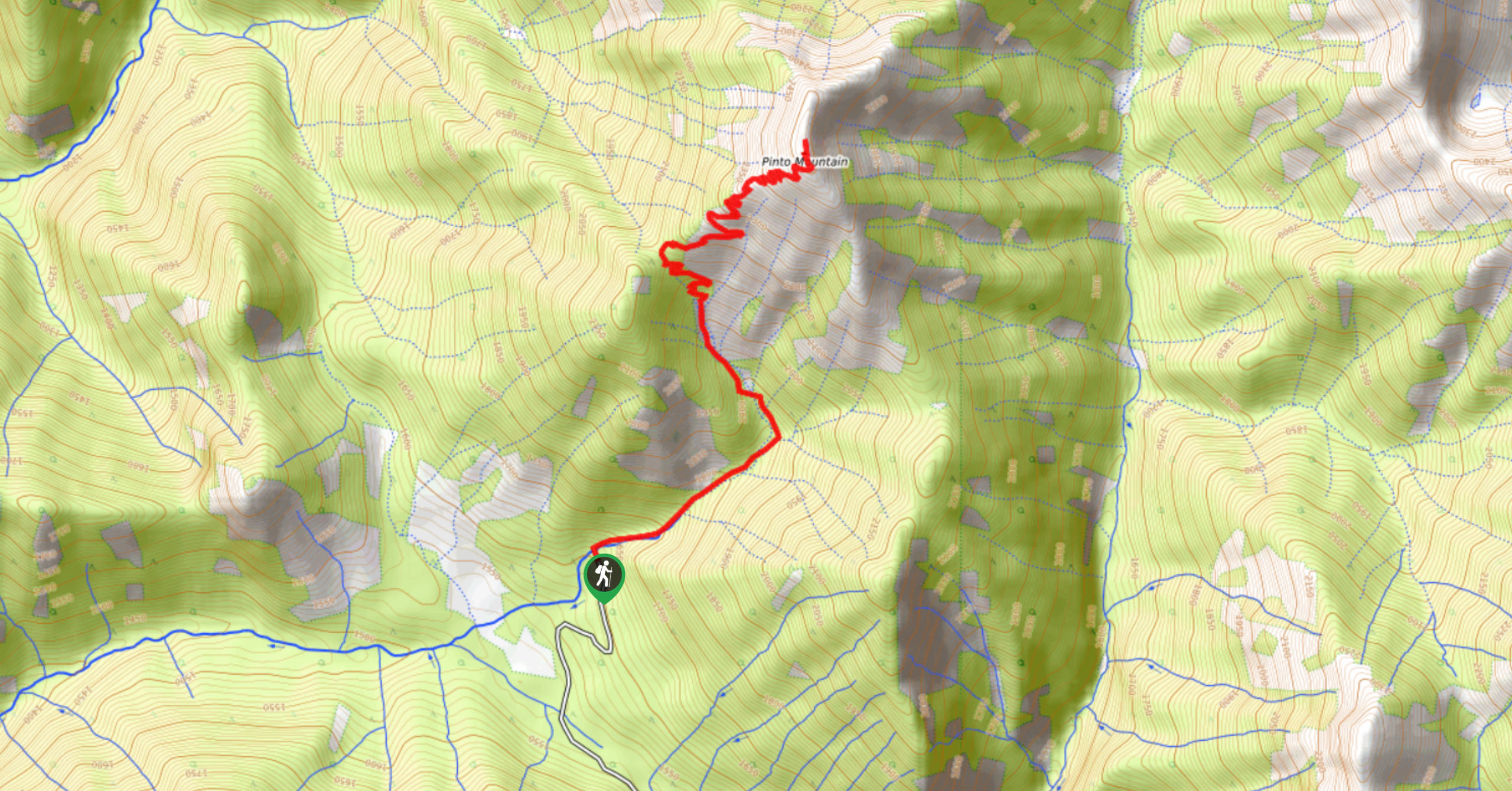
Pinto Mountain
The trail to the summit of Pinto Mountain is an 5.4mi out-and-back hiking route that will lead you…
Mount Swansea Tower
Mount Swansea Tower is a 3.8mi lollipop hiking route in the Swansea Mountain Recreation Site near Invermere that…
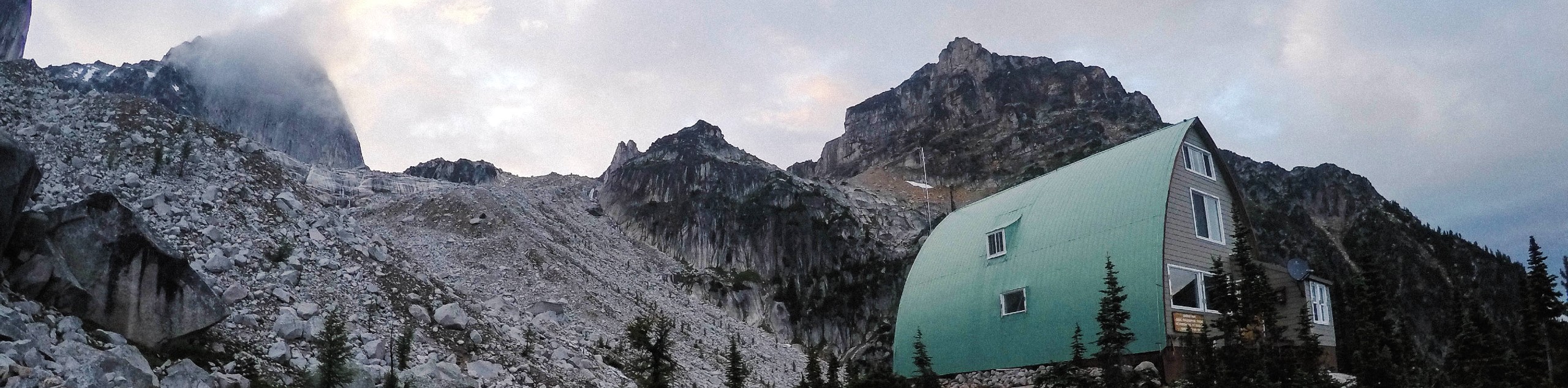
Conrad Kain Hut Trail
The Conrad Kain Hut Trail is a 5.6mi out-and-back hiking route near Invermere, BC, that climbs through beautiful…
Comments