
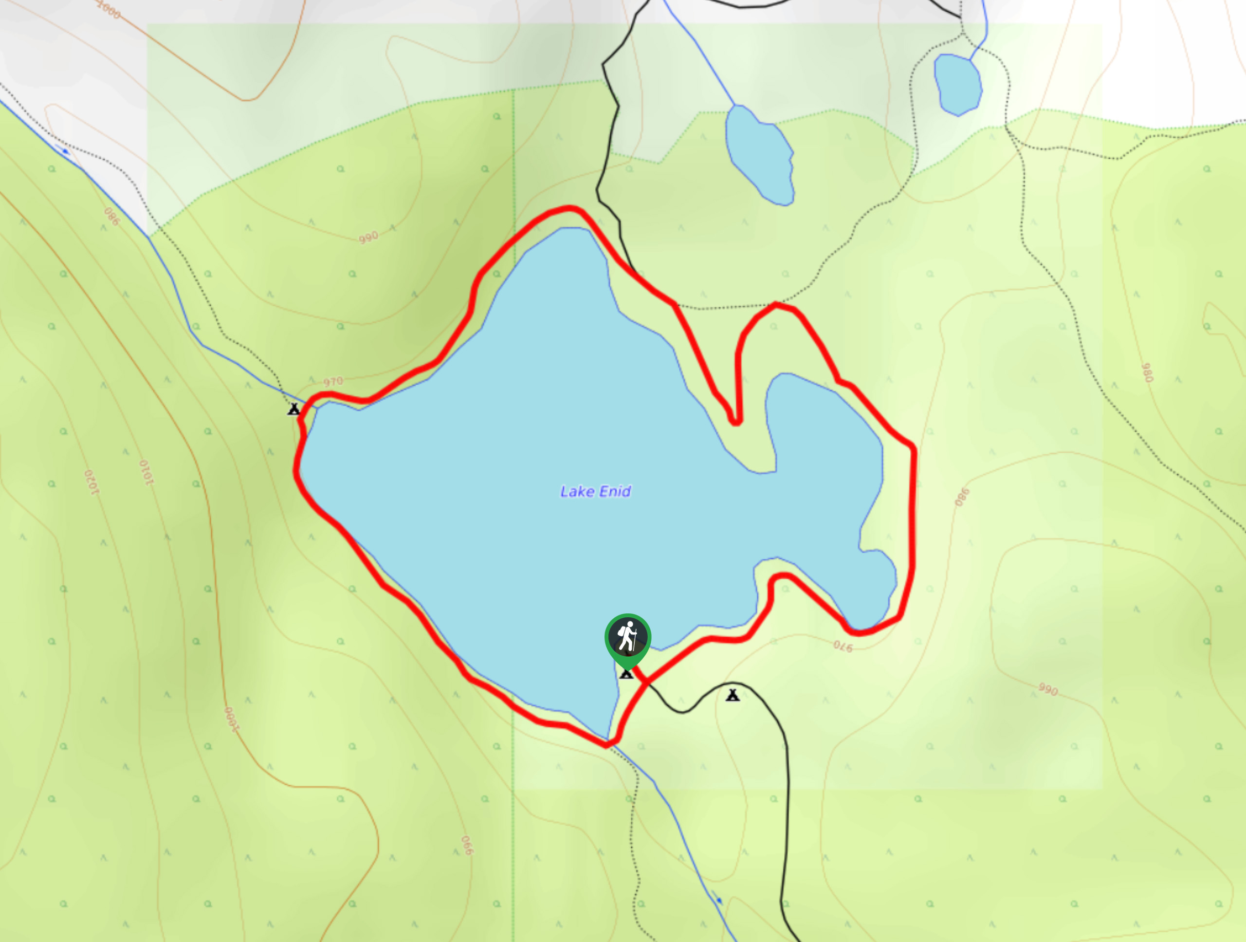
Lake Enid
View Photos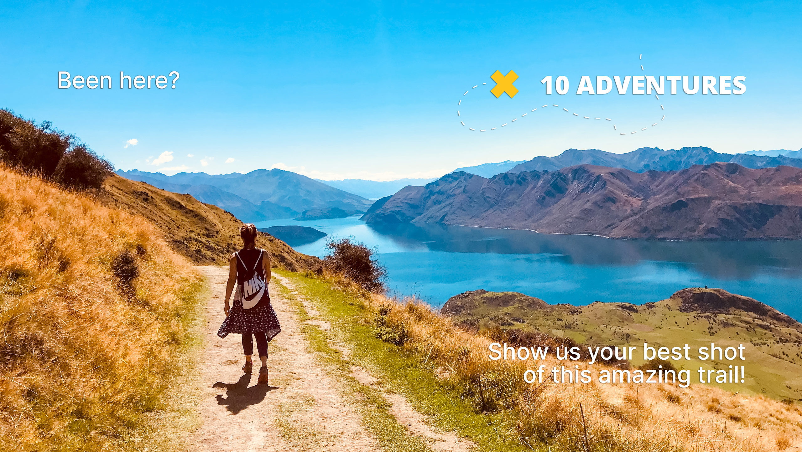
Lake Enid
Difficulty Rating:
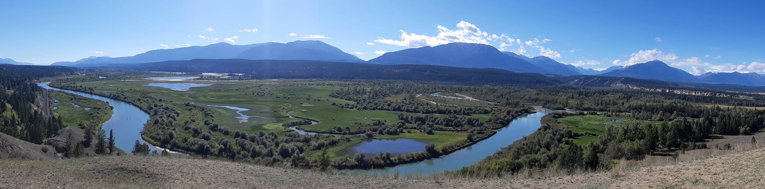
Lake Enid is a great family-friendly hike near Invermere that will take you on a 1.5mi loop around the charming shores of this small body of water. Along the hike, you will have scenic views of the surrounding woodland landscape and the majestic mountains of the Purcell Range. This is a fantastic option if you are looking for an easy day out on the trails with some pretty views.
Getting there
To reach the parking area at Lake Enid from Wilmer, head west on Horsethief Road for 2.4mi, where the road will veer left and become Bruce Creek FSR. After 0.9mi, turn right, and you will find the trailhead straight ahead in 1640ft.

About
| When to do | Year-round |
| Backcountry Campsites | Lake Enid Recreation Site |
| Pets allowed | Yes - On Leash |
| Family friendly | Yes |
| Route Signage | Average |
| Crowd Levels | Moderate |
| Route Type | Circuit |
Lake Enid
Elevation Graph
Weather
Lake Enid Trail Description
Hiking the Lake Enid trail is a perfect way to spend a few hours in the beautiful Invermere landscape while getting some light exercise at the same time. The trail is relatively flat and offers a relaxing hiking experience with some pretty views for the minimal effort required to complete this trail.
Follow the loop in either direction as you work your way around the calm waters of the lake. To the east, you will have some views that look out across the Columbia Valley, and to the west, you will have the rugged expanse of the Purcell Mountain Range. After taking in the natural beauty of the surrounding landscape, you can either head back to your vehicle for the return trip home or spend some extra time hanging out by the lake and exploring the trails branching off the main loop.
Similar hikes to the Lake Enid hike
Lower Bugaboo Falls
Lower Bugaboo Falls is a 1.6mi out-and-back hiking route northwest of Invermere that will allow hikers to experience…
Montezuma’s Revenge
Montezuma’s Revenge is a 1.8mi lollipop hiking route near Invermere, BC, that loops through the tree cover and…
Old Coach Trail
The Old Coach Road Loop is a 2.9mi hiking route near Invermere, BC, that follows along the Columbia…
Comments