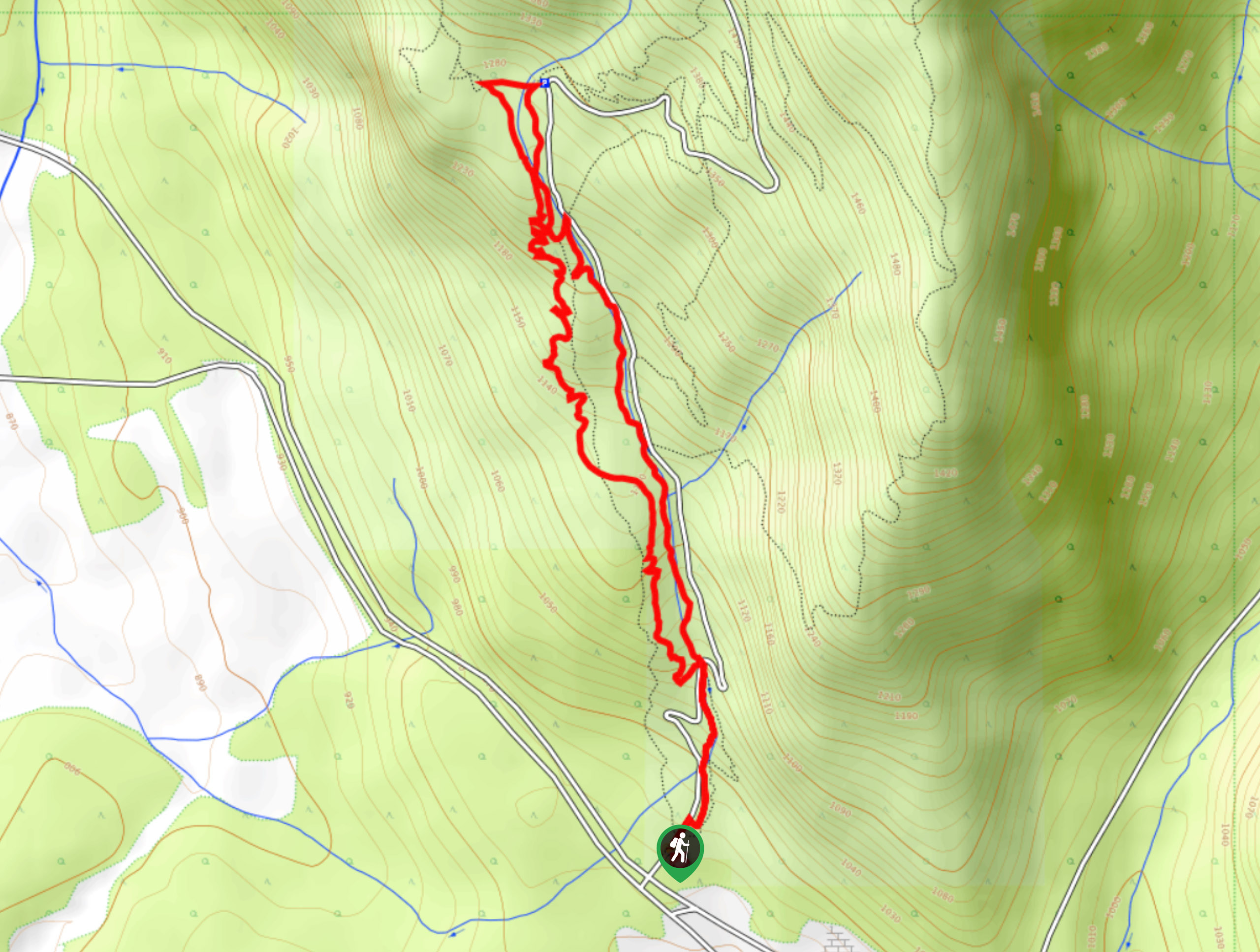
The Johnson
View Photos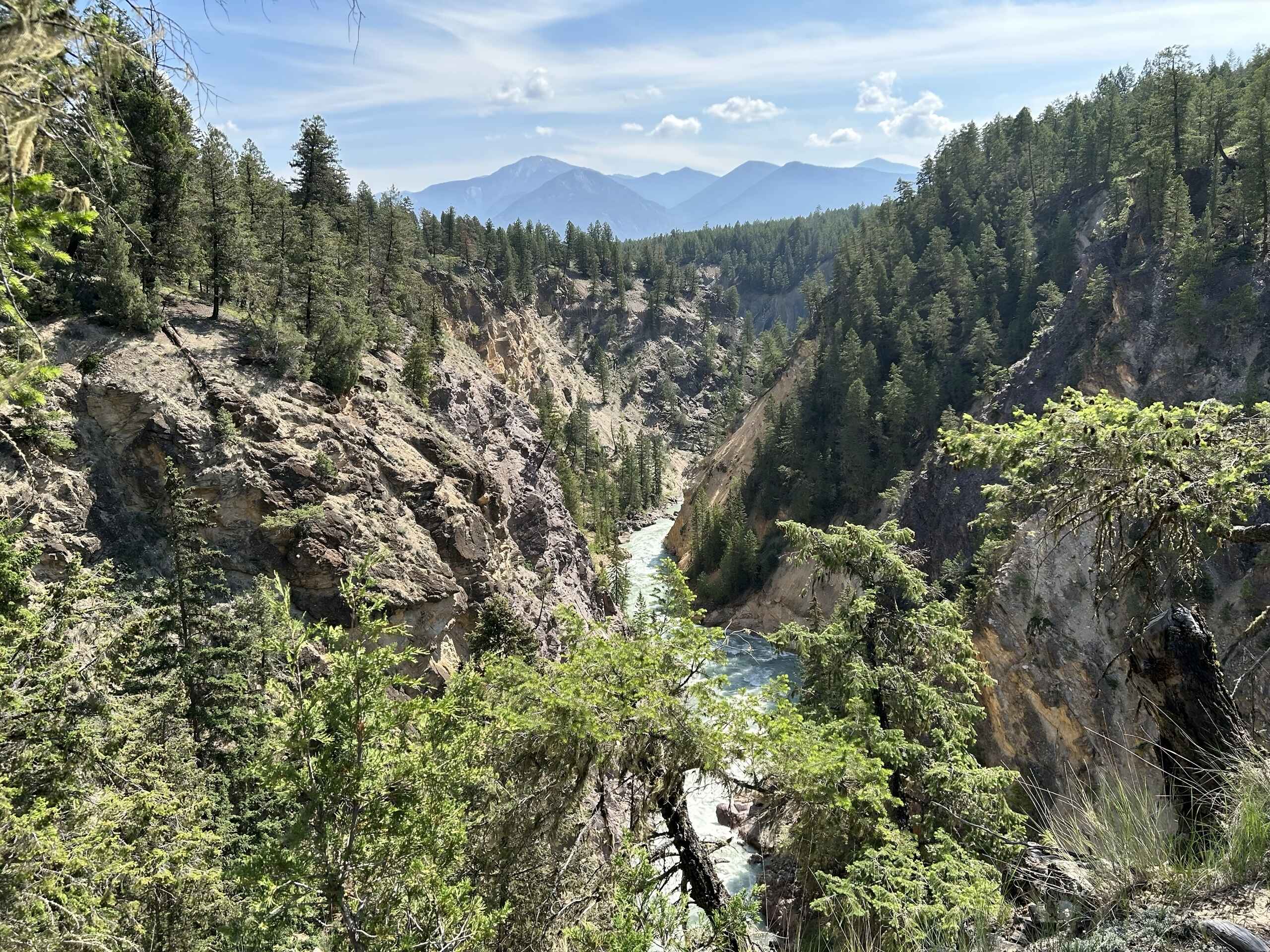
The Johnson
Difficulty Rating:
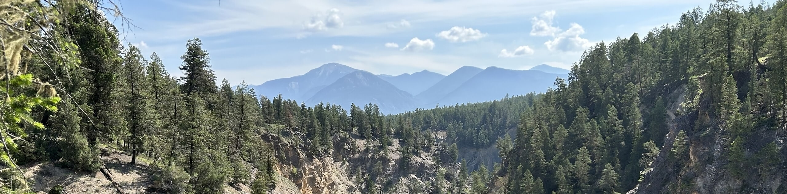
The Johnson is a 5.9mi hiking route in Invermere that winds through a dense network of hiking and mountain bike trails near the Lillian Lake Recreation Site. Largely forested, this hike features a series of ascents and descents that will bring you to a scenic viewpoint overlooking the Columbia Valley. Make sure to bring a GPS or trail map as navigation of this trail network can be tricky.
Getting there
To get to the parking lot for The Johnson from Invermere, head to the northwest along Panorama Drive for 2625ft and keep straight to continue on Toby Creek Road. Turn right after 3.4mi to enter the parking area.

About
| When to do | May–November |
| Backcountry Campsites | No |
| Pets allowed | Yes - On Leash |
| Family friendly | Older Children only |
| Route Signage | Average |
| Crowd Levels | Moderate |
| Route Type | Circuit |
The Johnson
Elevation Graph
Weather
The Johnson Trail Description
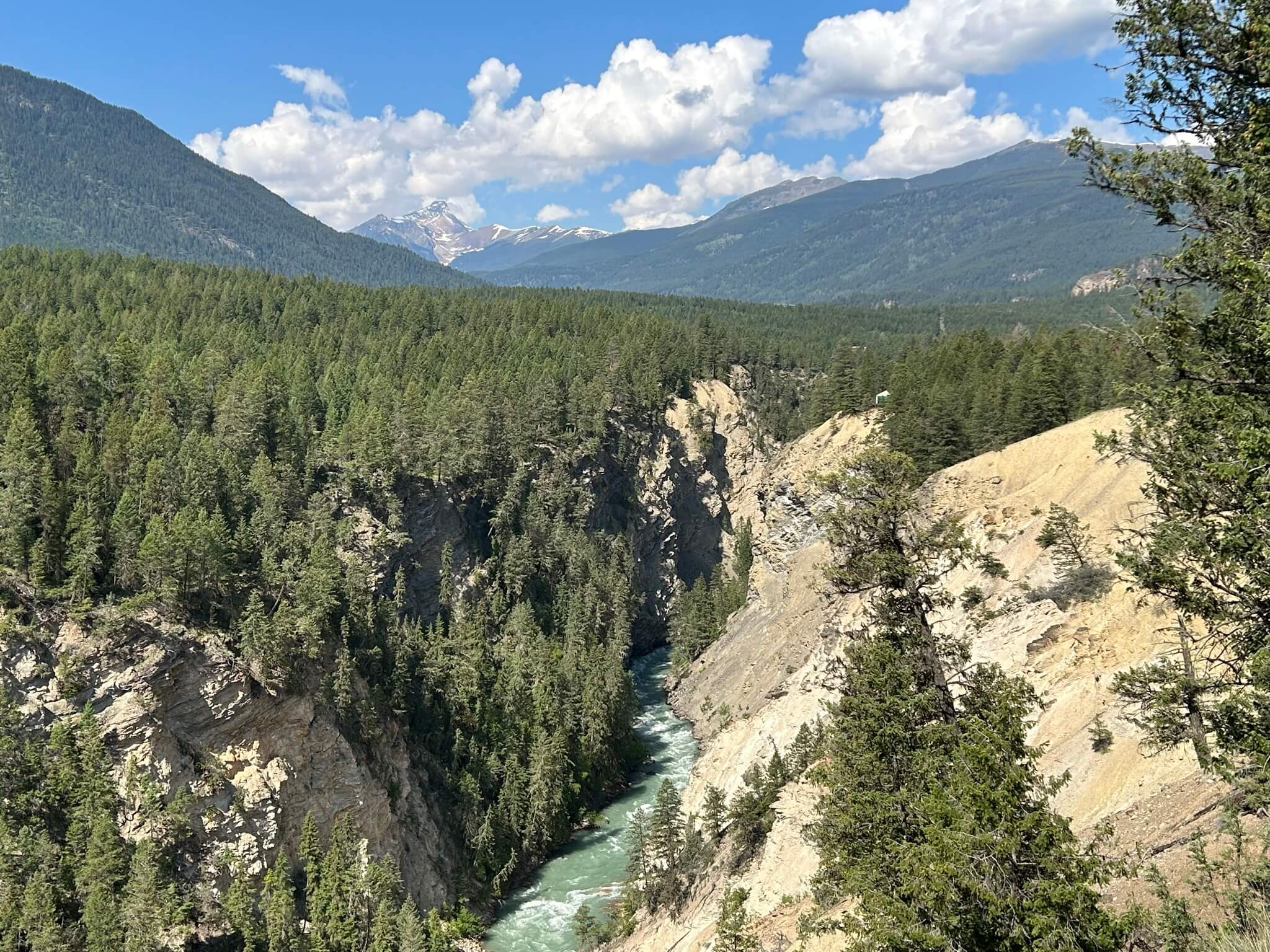
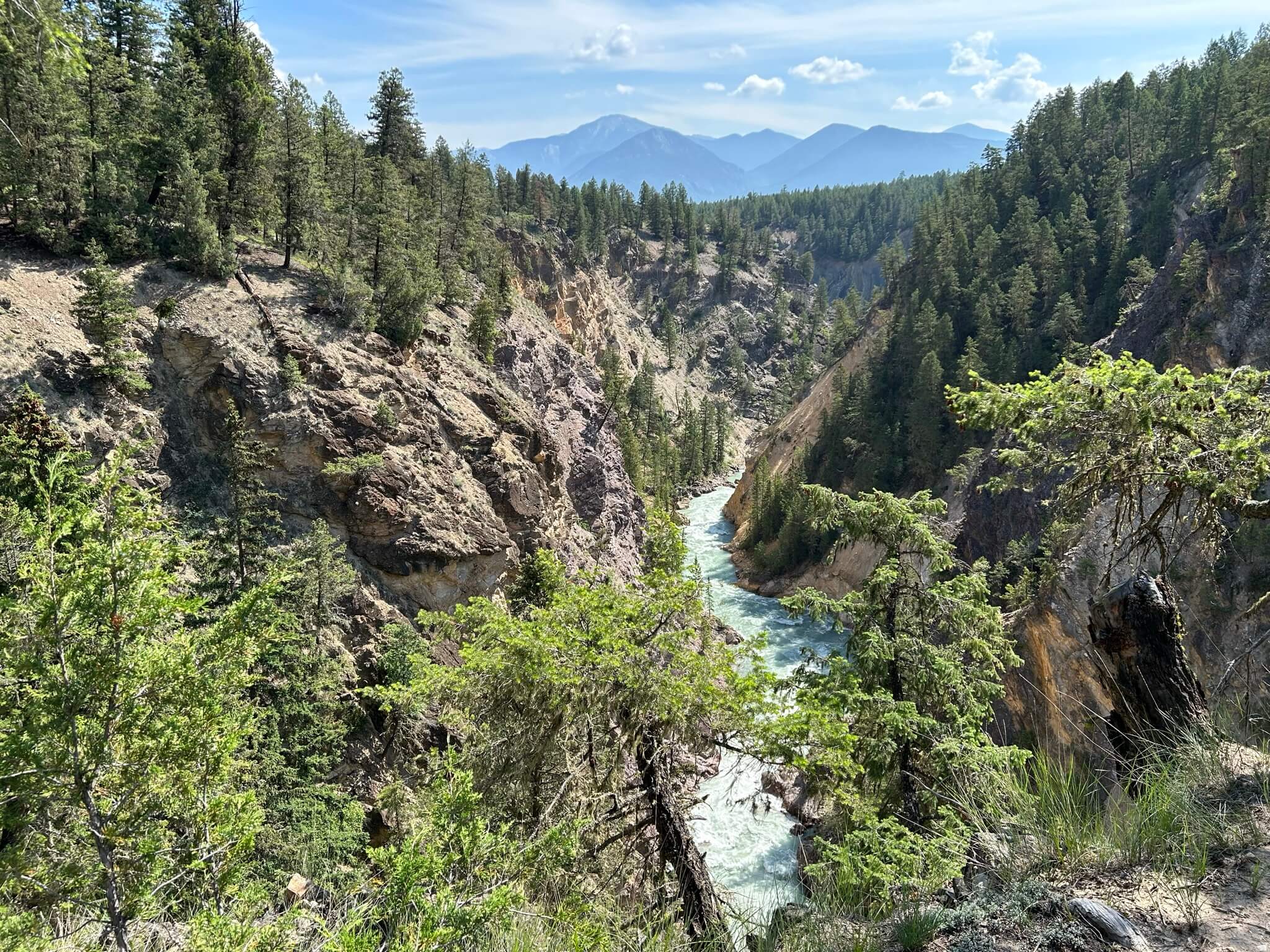
Hiking The Johnson is a great outdoor adventure in Invermere that will allow you to witness some impressive views overlooking the city, valley, and surrounding mountains. The trail traverses some fairly easy terrain and has a small elevation gain of 1240ft spread throughout the hike; however, some steep sections might be difficult for less mobile hikers. Still, this is a great option for both casual and experienced hikers.
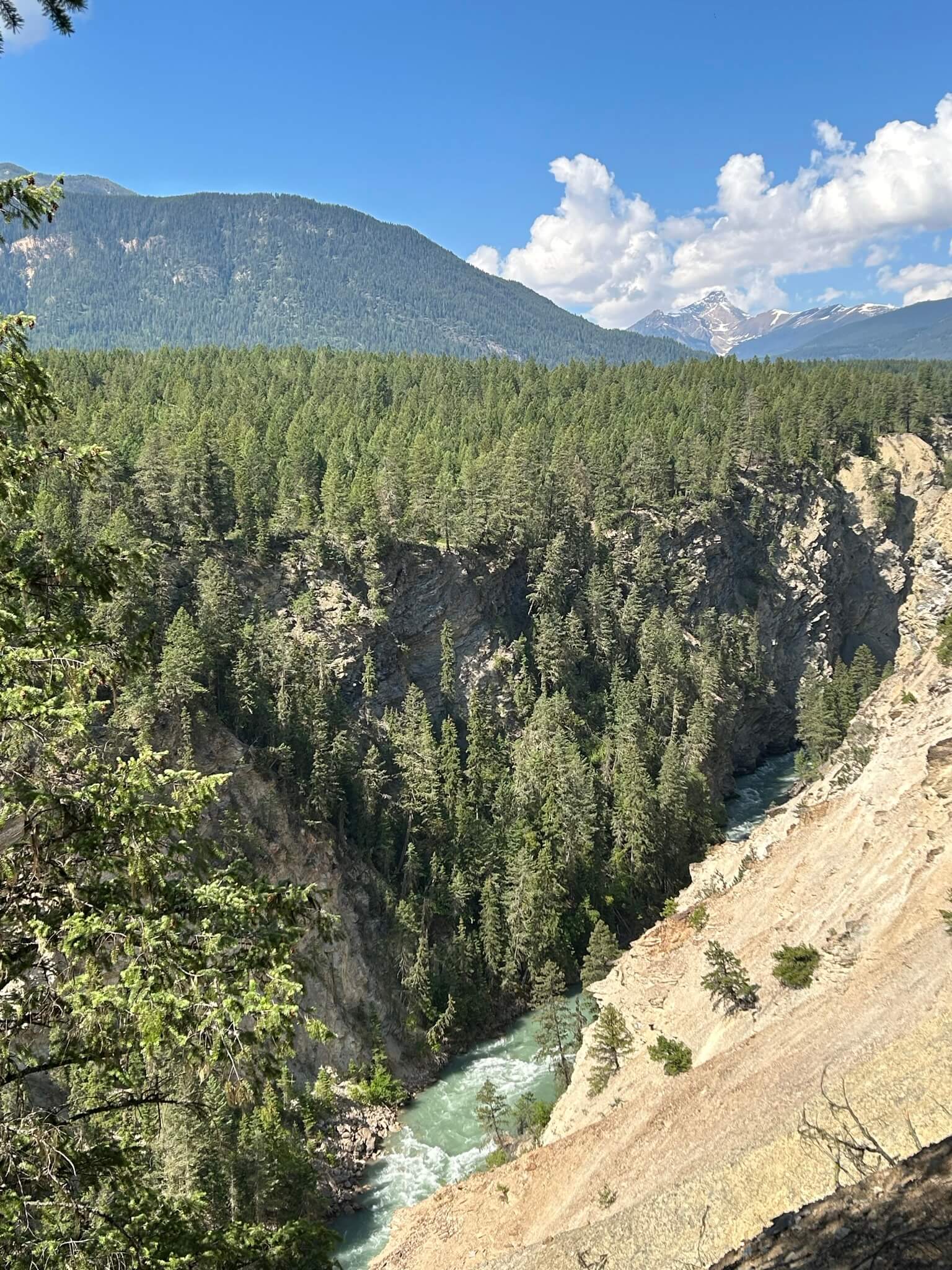
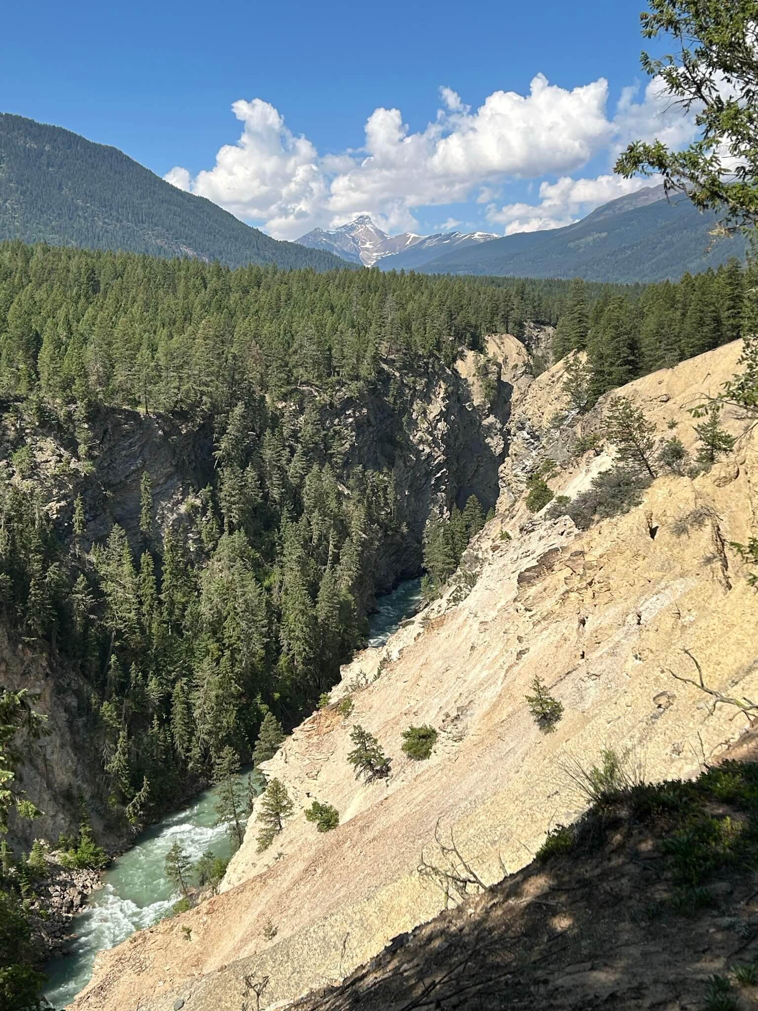
As you work your way through the beautiful forests, you will eventually come to a viewpoint overlooking the Columbia Valley. Below you, the waters of Toby Creek flow into Windermere Lake, and in the backdrop, you will see the Swansea and Four Point Mountains. Continue following the trail along the edge of the cliff to make your way back to the trailhead.
Similar hikes to the The Johnson hike
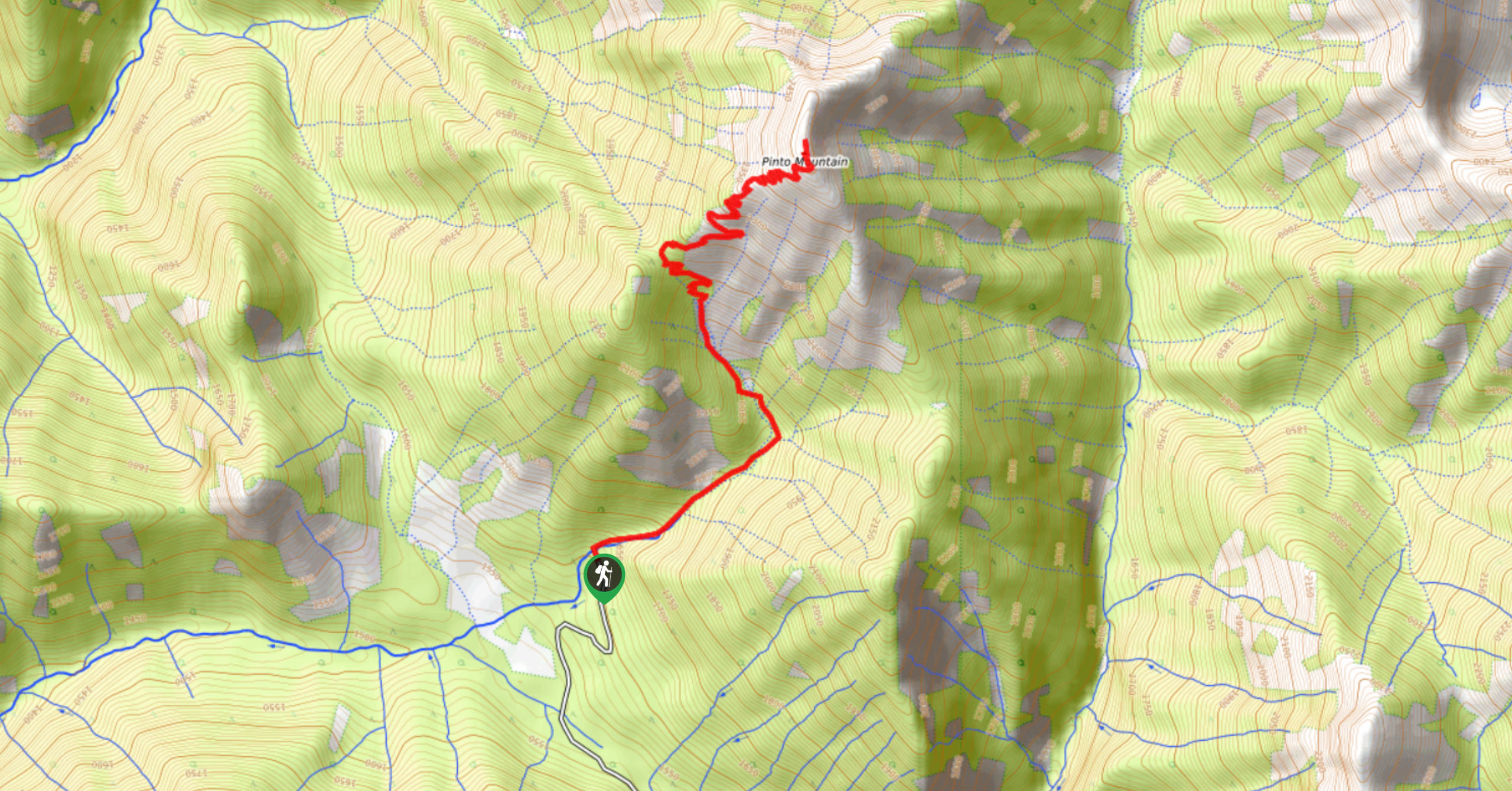
Pinto Mountain
The trail to the summit of Pinto Mountain is an 5.4mi out-and-back hiking route that will lead you…
Mount Swansea Tower
Mount Swansea Tower is a 3.8mi lollipop hiking route in the Swansea Mountain Recreation Site near Invermere that…
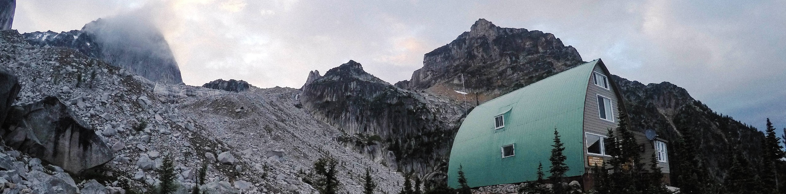
Conrad Kain Hut Trail
The Conrad Kain Hut Trail is a 5.6mi out-and-back hiking route near Invermere, BC, that climbs through beautiful…
Comments