Panorama Mountain Village Trail
View Photos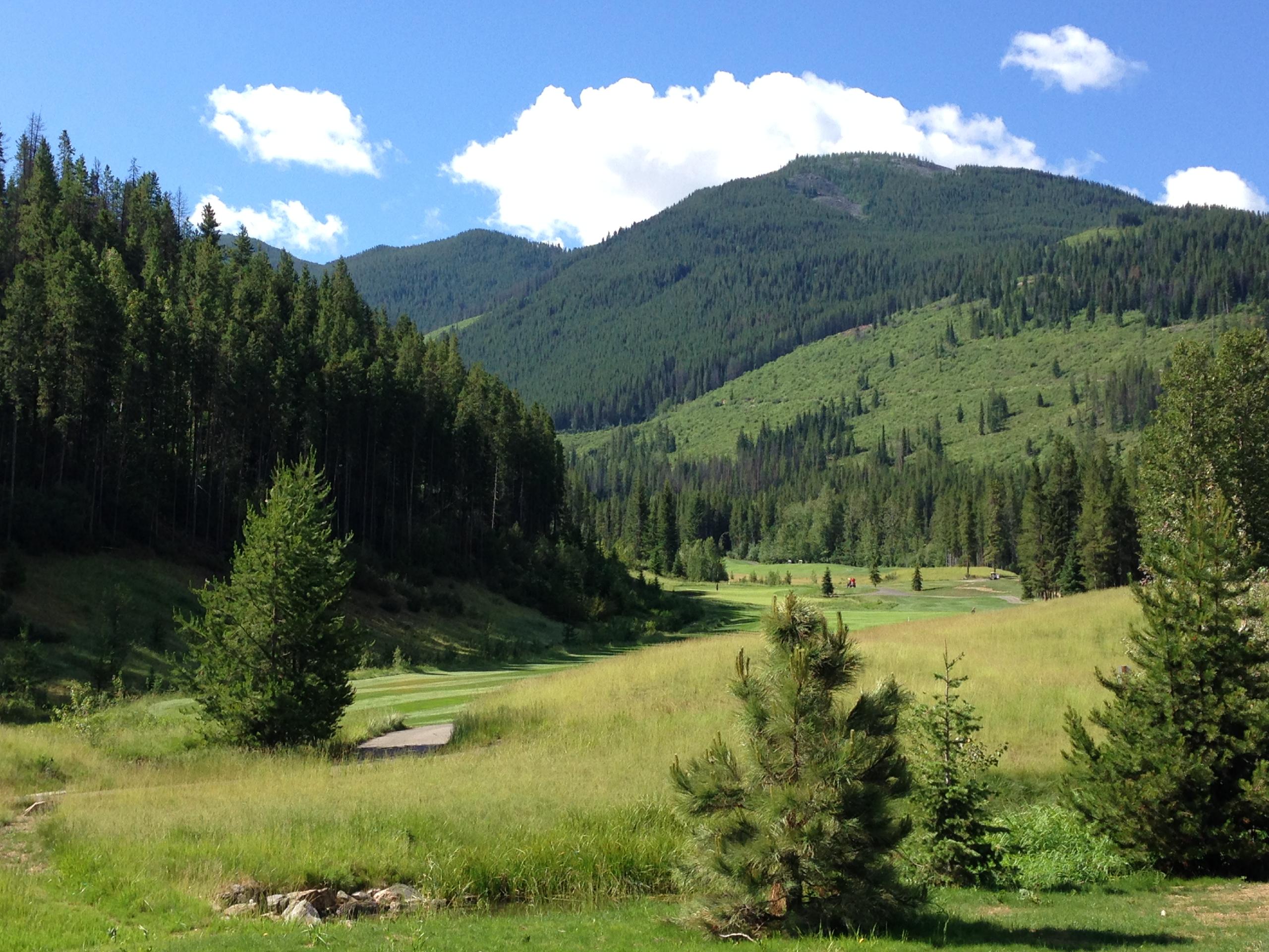
Panorama Mountain Village Trail
Difficulty Rating:
The Panorama Mountain Village Trail is a 4.0mi hiking loop at the top of Panorama Mountain Resort near Invermere, BC, that will expose you to seriously scenic views that look out over the rugged subalpine landscape. With moderate changes in elevation and relatively easy terrain, both casual and experienced hikers will be able to utilize the trail and admire the sights of the neighbouring mountains of the Purcell Range. To reach the trailhead, hikers will need to either travel up the mountain by foot or utilize the Mile 1 chairlift.
Getting there
To reach the trailhead for the Panorama Mountain Village Trail from Invermere, drive northwest on Panorama Drive for 0.8mi and continue onto Toby Creek Road for another 11.2mi. Make a left turn onto Panorama Drive and after 525ft, make a slight right to stay on the same road. In 1640ft, turn right on Summit Drive, where you will find the parking lot on the right. To get to the trailhead, you will need to either hike up the mountain or use the Mile 1 Quad Express chairlift.

About
| When to do | June–September |
| Backcountry Campsites | No |
| Pets allowed | No |
| Family friendly | Older Children only |
| Route Signage | Average |
| Crowd Levels | Moderate |
| Route Type | Circuit |
Panorama Mountain Village Trail
Elevation Graph
Weather
Panorama Mountain Village Trail Description
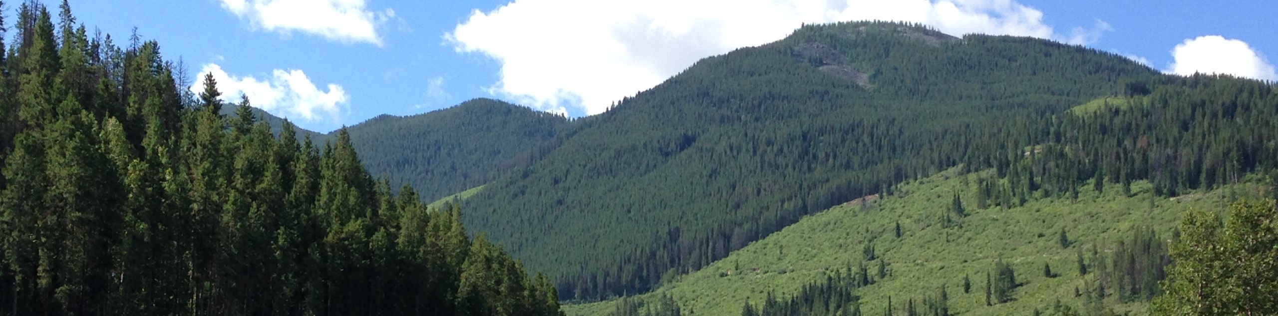
Nestled snugly within the Purcell Mountain Range, the Panorama Mountain Village Trail is an excellent opportunity to explore the beautifully scenic subalpine terrain while using the amenities of the nearby Panorama Mountain Resort. Due to the trail’s location within the ski area, hikers will need to either make their way up the slopes by foot to reach the trailhead or use the chairlift for a quick access route to all of the fun. The route itself features a nice mix of forest terrain and scenic meadows that shouldn’t present too much trouble, even for inexperienced hikers.
The trail sets out from the top of the Mile 1 Express chairlift and heads south on a route that intermittently dips in and out of the tree cover as hikers make their way across ski runs. As you climb steadily uphill, you will have some pretty spectacular views looking down onto the Greywolf Golf Course and across the valley to Mount Catherine and the Sultana and Red Line Peaks. Working your way east along the loop, you will pass by the Elkhorn Cabin, which is a great place to grab some refreshments if you are so inclined. After crossing over several mountain streams, you will descend through the forest before breaking into a scenic alpine meadow. From here, follow the trail as it heads west to return to the Mile 1 Express chairlift that will provide your ride back down to the base of the mountain.
Similar hikes to the Panorama Mountain Village Trail hike
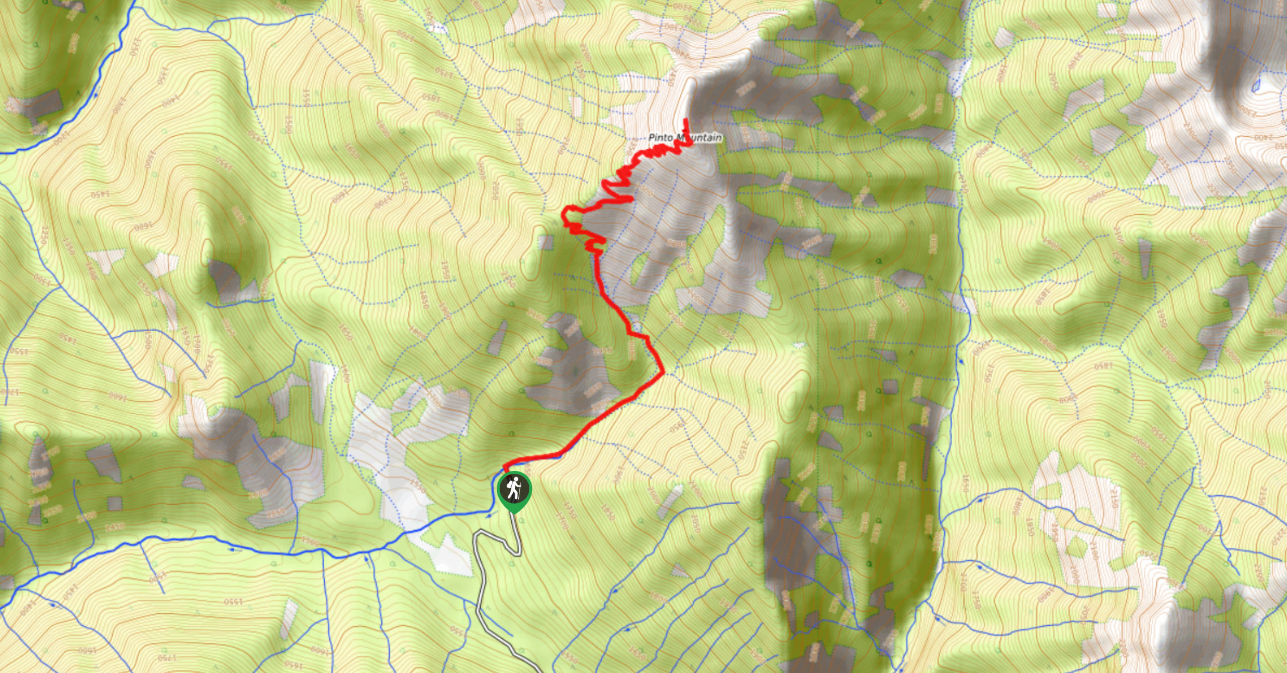
Pinto Mountain
The trail to the summit of Pinto Mountain is an 5.4mi out-and-back hiking route that will lead you…
Mount Swansea Tower
Mount Swansea Tower is a 3.8mi lollipop hiking route in the Swansea Mountain Recreation Site near Invermere that…
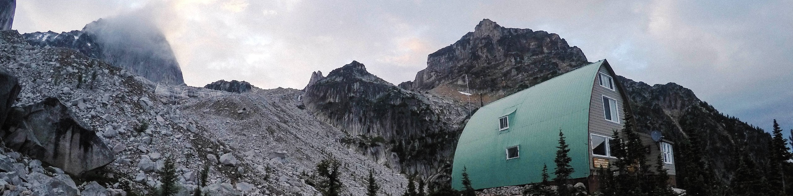
Conrad Kain Hut Trail
The Conrad Kain Hut Trail is a 5.6mi out-and-back hiking route near Invermere, BC, that climbs through beautiful…
Comments