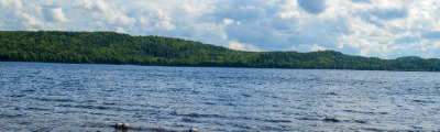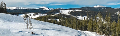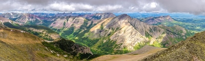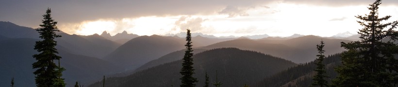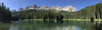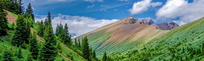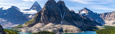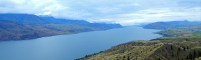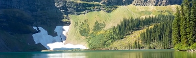
hikes in Glacier National Park, BC
With 1,349km² of terrain waiting to be explored and easy access from the Trans-Canada Highway, Glacier National Park is well-positioned to serve as the destination for your next hiking adventure. Although the hiking season is relatively short - lasting from July to October - the park is located almost exactly halfway between Revelstoke and Golden, making either town a convenient jumping-off point to get the most out of your time in the area.
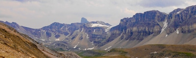
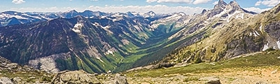
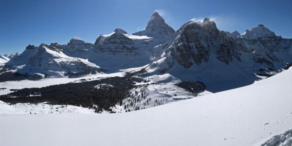
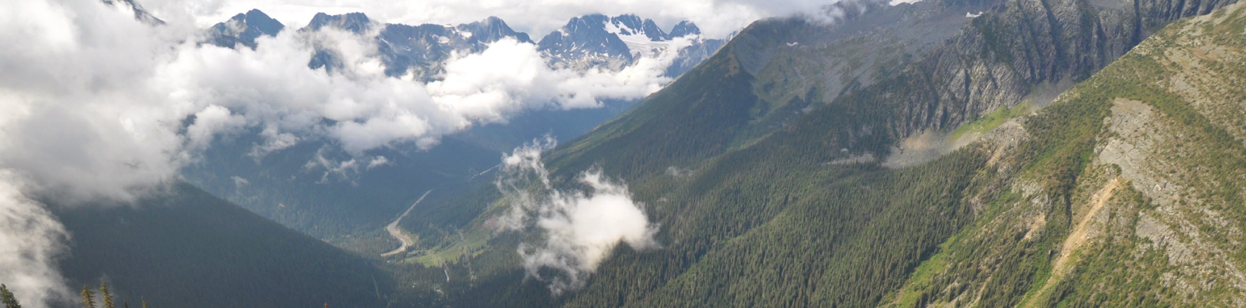
Boasting a strong network of trails that were originally created to access the summits and glaciers within the area, it is easy to see how the park became known as the birthplace of mountaineering in North America. Here, you are able to explore rugged peaks and witness over 400 active glaciers as they continue to carve out the landscape of the Columbia Mountains. With such a rich history in the world of outdoor adventure, you should strongly consider adding your own chapter and exploring the breathtaking landscapes of Glacier National Park.
The 10 Greatest Hikes In Glacier National Park
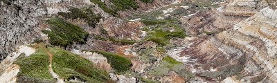
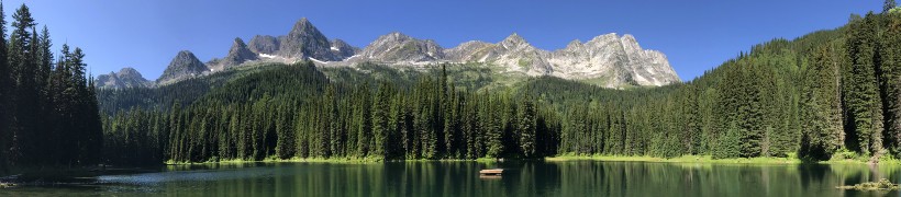
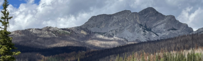
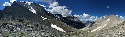
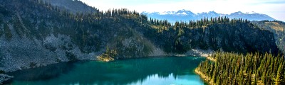
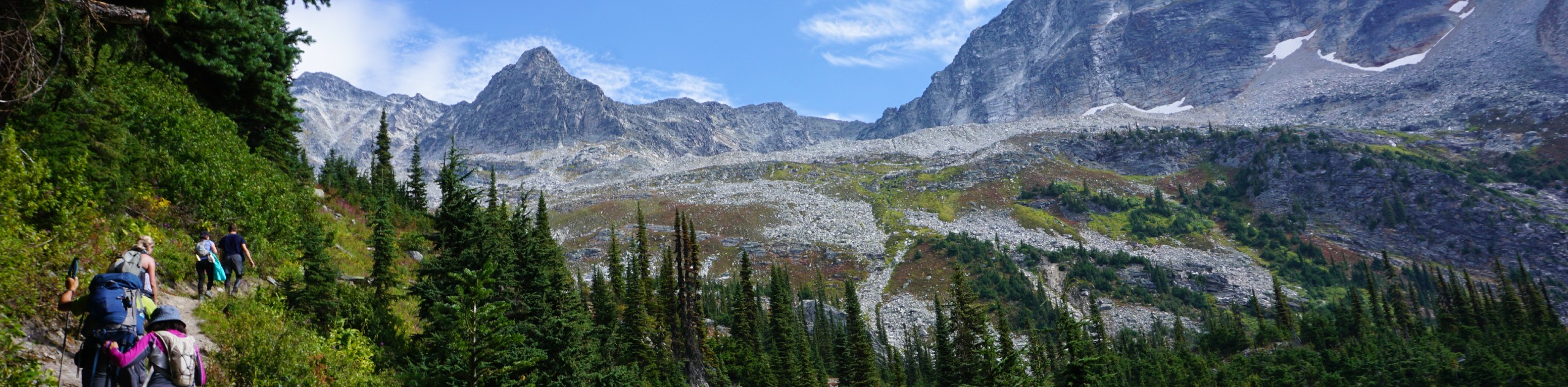
Exploring the Selkirk Mountains - a sub-range of the Columbia Mountains - is no small task; however, Glacier National Park offers a number of different routes that vary in difficulty, meaning that you will always be able to find an adventure in the park that will suit your skill set. Whether you want to hike the rainforests along the valley floor or scramble your way up to a rugged summit, you can rest assured that there is a trail ready and waiting with your name on it.
Although the hiking season may be short, you won’t need a crazy amount of time to explore the park, as most of the main trails are located in close proximity to the highway. Snow can linger on some of the upper trails well into the summer, so think ahead and plan your trip based on the time of year and type of terrain that you would like to cover.
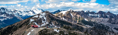
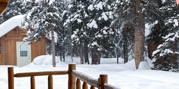
If you are looking to spend your time camping in the park as opposed to driving back and forth from a nearby town, try making plans to stay at the Illecillewaet Campground, which also happens to be the starting point for a number of summit and glacier trails. No matter how you decide to tackle your adventure in the park, there will always be something new and exciting waiting for you over the next ridge. Check out some of our favourite hikes in Glacier National Park below:
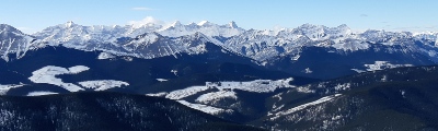
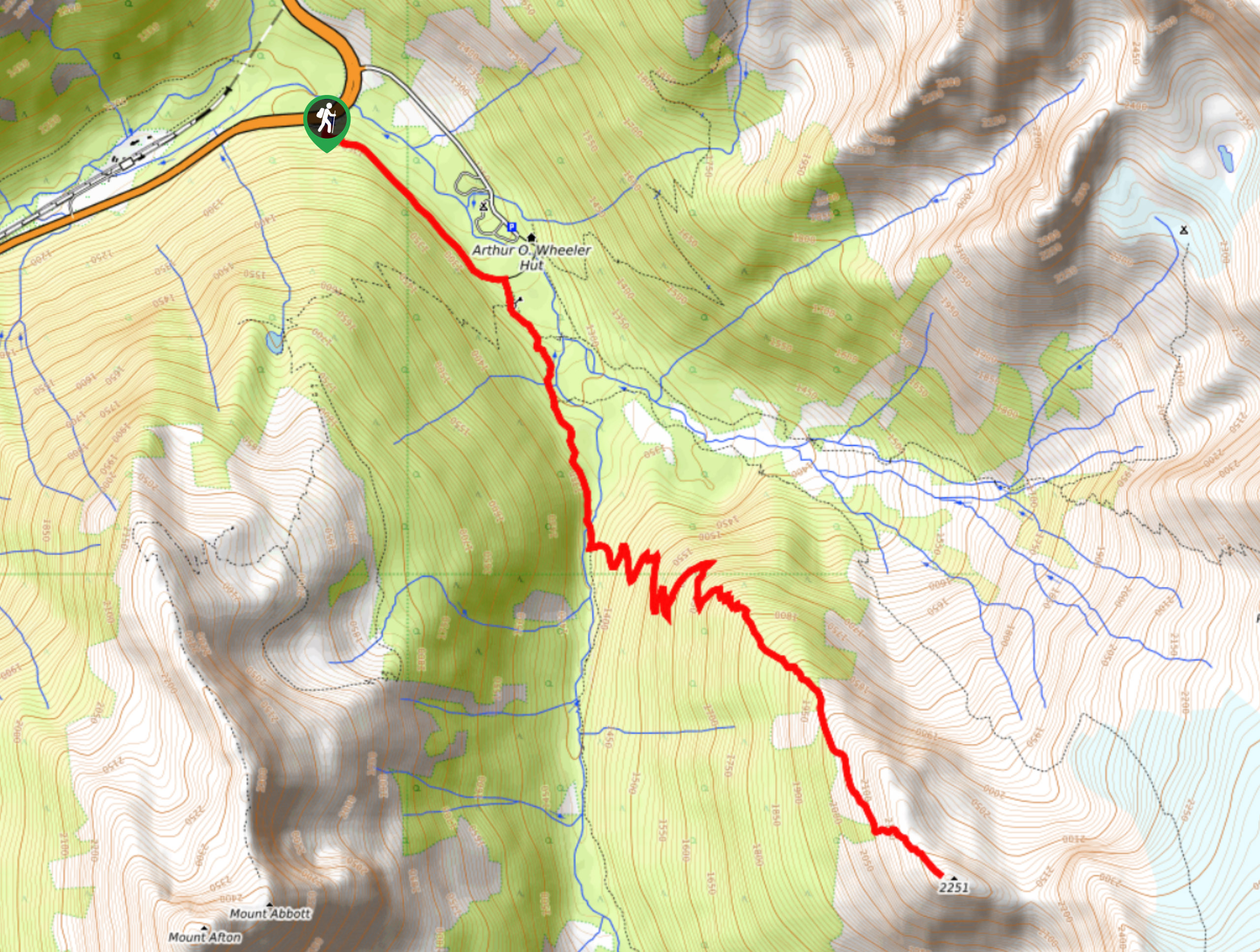
- Abbott Ridge Trail: Known for having some of the most picturesque views in the entire park, the Abbott Ridge Trail is one route that you surely won’t want to miss. The trail will lead you up the steep hillside to the top of the ridge, where you will have a commanding view across the valley and surrounding mountains.
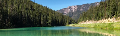
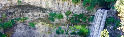
- Bear Creek Falls: This short hike is a family-friendly adventure in the park that will lead you through the thick cover of the forest to reach a stunning waterfall. With easy access from the road and a short overall distance, this route is the perfect addition to completing another hike in the area or as a means to stretch your legs at the side of the road after a day of driving.
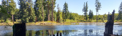
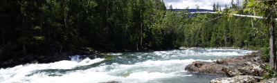
- Meeting of the Waters: If you are looking for a riverside walk with amazing views of nearby mountain peaks and a stunning waterfall, then the Meeting of the Waters might just be the trail for you. This family-friendly route climbs uphill along the Illecillewaet River to produce a commanding view over the watershed, giving you a better insight into the natural beauty of Glacier National Park.
- Balu Pass Trail: This lightly-trafficked trail will take you uphill through serene forests and charming meadows to reach a viewpoint overlooking the surrounding alpine terrain. Make sure to be bear-aware, as this route passes through an area frequented by the animals and is often closed for periods of the season if sightings are too frequent.
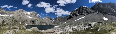
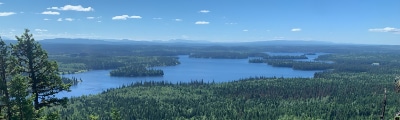
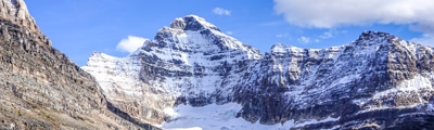
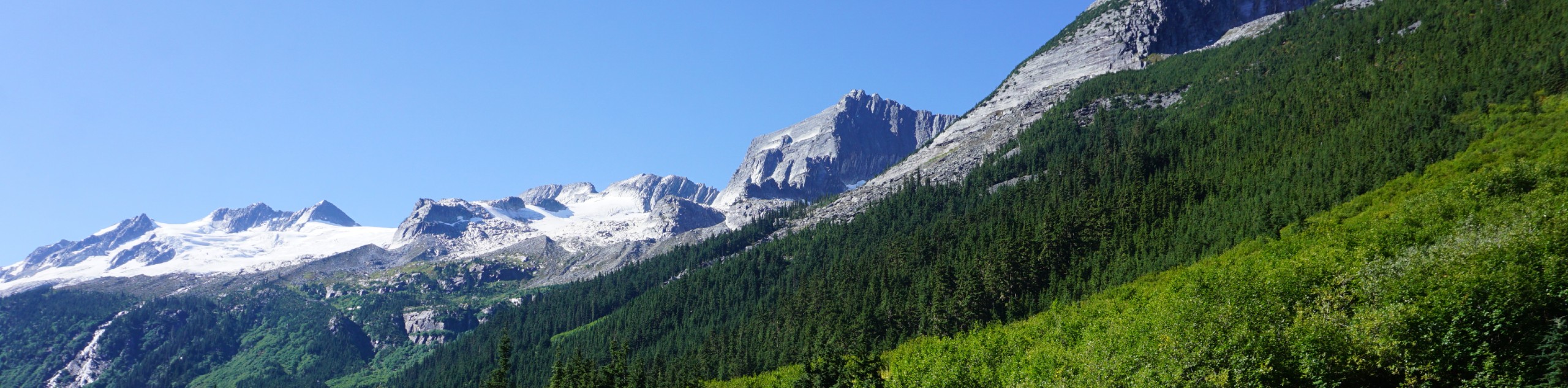
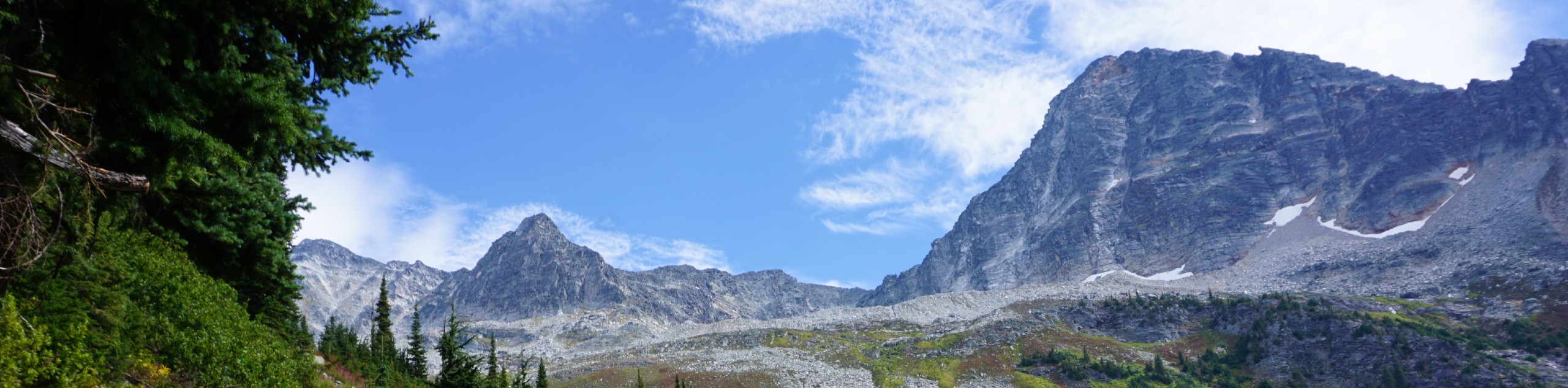
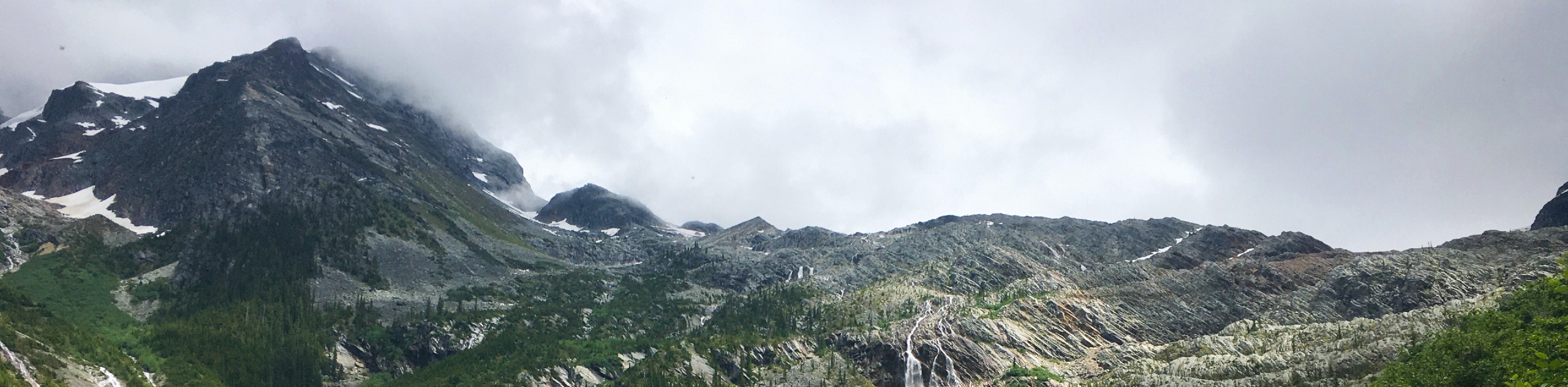
- Glacier Crest Trail: Hiking the Glacier Crest Trail is a scenic route that will allow you to take in some amazing views of nearby peaks and the Illecillewaet Glacier. The steep terrain and switchbacks on this trail will give you a good workout, but the breathtaking views are the real objective of the day.
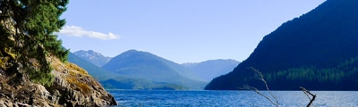
- Asulkan Valley Trail: This difficult out-and-back route will see you climb uphill alongside Asulkan Brook for some truly spectacular views of the surrounding landscape of the park. At certain points along this 13.4km route you might feel like throwing in the towel, but pushing on to experience the views atop the crest is an irreplaceable feeling.
- Hermit Trail: The Hermit Trail is a challenging route that will lead you up to an alpine campsite surrounded by stunning views. Be sure to bring a GPS and prepare for a bit of a leg burn, as navigation along the steep and rugged terrain can be tough at times.
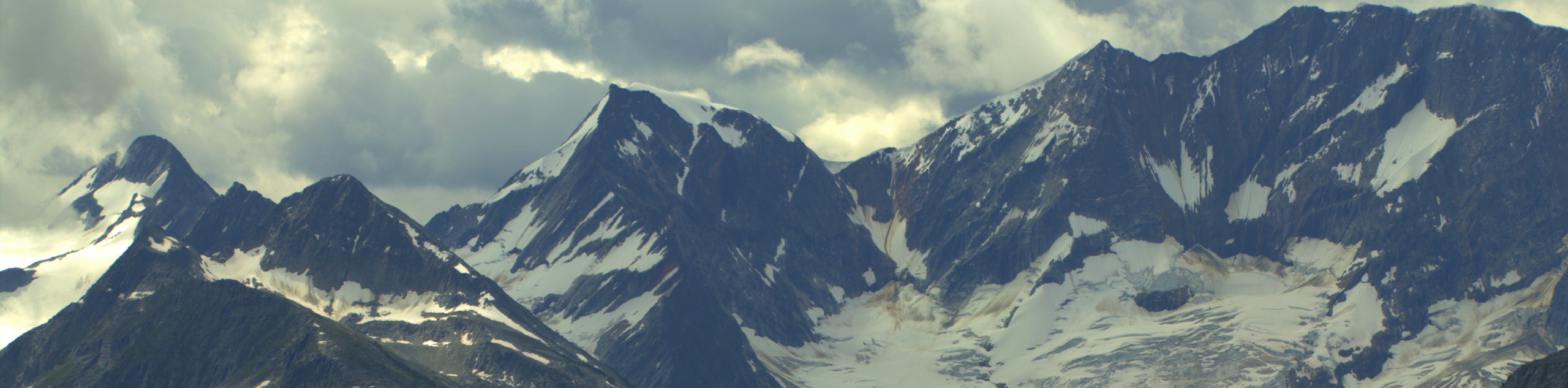
- Perley Rock Trail: This hike will take you across a number of streams as you climb the steep hillside to reach a viewpoint overlooking the Illecillewaet Glacier. Views along the trail are amazingly scenic, sweeping across the lush valley to include the surrounding mountains. Make sure to bring a few layers, as the area around the glacier can get pretty cold!
- Avalanche Crest Trail: Hiking the Avalanche Crest Trail will take you uphill through a beautiful stretch of rainforest to reach a lookout with some amazing views overlooking the surrounding alpine landscape. Upper portions of the trail are a bit technical, but they will reveal some breathtaking scenery that includes glaciers and jagged peaks.
- Hemlock Grove Boardwalk: This trail is an educational experience that will take you along a wooden boardwalk to witness a beautiful stretch of forest within Glacier National Park. While on the trail, you will have access to a wealth of information via interpretive signs about local plant and animal life, all while exploring the tranquil forest of cedar and hemlock trees.
When is the Best Time to Hike in Glacier National Park?
If you are looking to get the most out of your hiking trip in Glacier National Park and explore trails in both the valley and higher up in the mountains, the best time to plan your trip is in the July-October window. Although the park is open year-round and trails in the valley are available to use in May, any trails at higher elevations will likely be snowed in until early July. Additionally, the latter portion of the hiking season typically ends in October when the snow really begins to fall and skiing becomes the main focus of outdoor recreation efforts.
Other Outdoor Activities in Glacier National Park
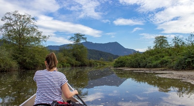
With beautiful alpine meadows, dense stretches of forest and rugged mountain peaks, Glacier National Park is perfectly suited to outdoor exploration, particularly in terms of hiking and climbing. There are a number of routes in close proximity to the highway that will allow you to climb up the steep mountainside to reach stunning vistas overlooking the park, and there are also some mountain bike trails if you are looking for a bit more of an adrenaline rush. For those interested in local history, try exploring the remnants of the region's rich railroad past or the ruins of the first luxury resort in the area. Mountaineering, fishing, camping, and skiing are also great options to further explore the natural beauty of Glacier National Park.
Frequently Asked Questions About Glacier National Park
How do you get to Glacier National Park?
Located right along the Trans-Canada Highway, Glacier National Park can be easily accessed by travelling east from Revelstoke or west from Golden.
Where should I stay if I want to visit Glacier National Park?
As mentioned above, Glacier National Park is easily accessible from both Revelstoke or Golden, with each offering accommodation, food, and access to their own unique outdoor opportunities.
Read MoreThe best hikes in Glacier National Park, BC
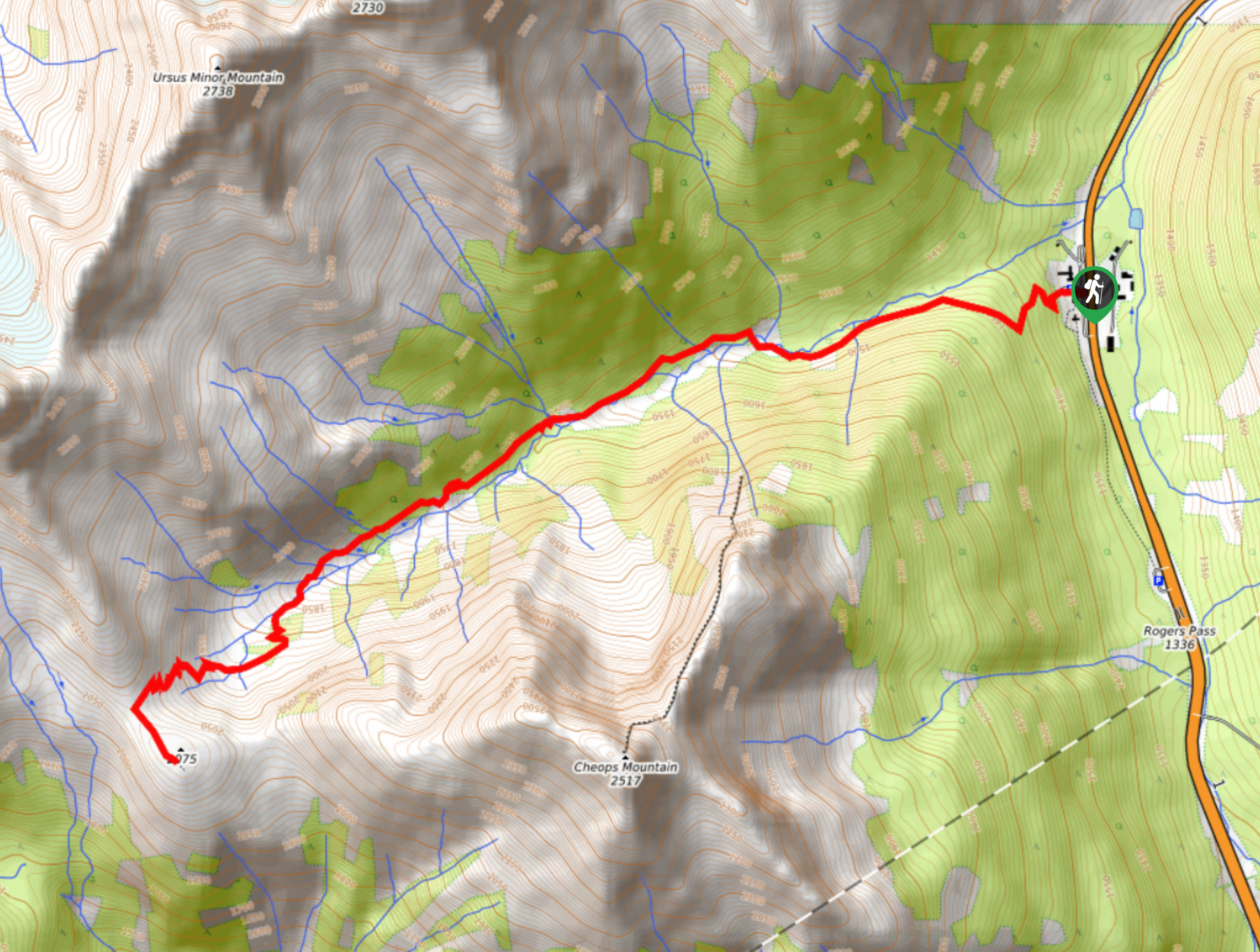
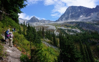
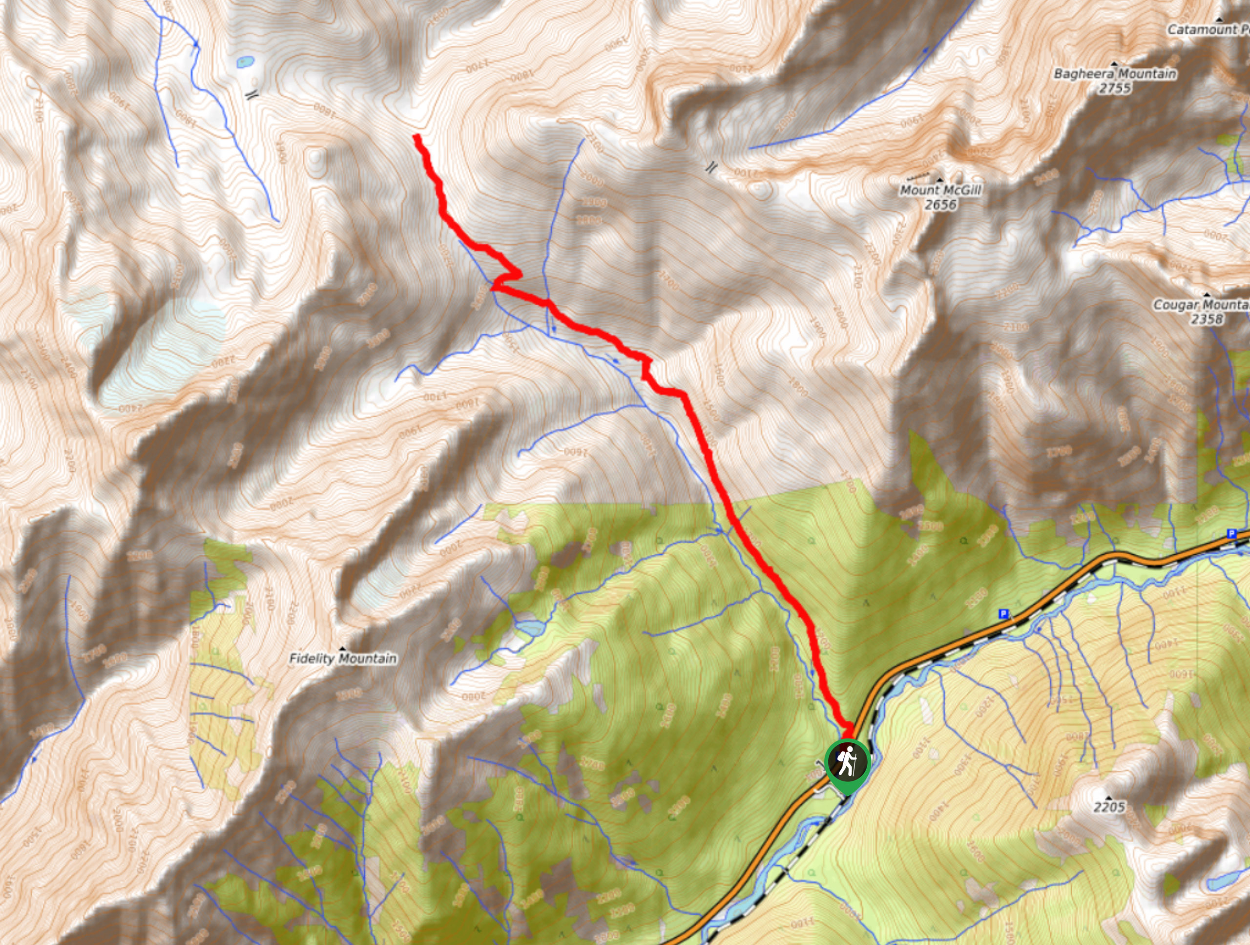
01. Balu Pass Trail
Difficulty
The Balu Pass Trail is a lightly trafficked 7.1mi out-and-back hiking route that… Read More
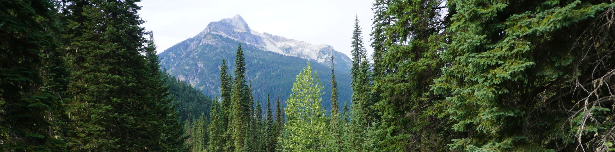
02. Abbott Ridge Trail
Difficulty
The Abbott Ridge Trail is a 9.9mi out-and-back route in Glacier National Park… Read More
03. Bear Creek Falls
Difficulty
The hike to Bear Creek Falls is a short out-and-back hiking route in Glacier National… Read More
04. Meeting of the Waters
Difficulty
The Meeting of the Waters is a 3.8mi hiking route through Glacier National… Read More
05. Glacier Crest Trail
Difficulty
The Glacier Crest Trail is a 7.9mi out-and-back hiking route in Glacier National… Read More
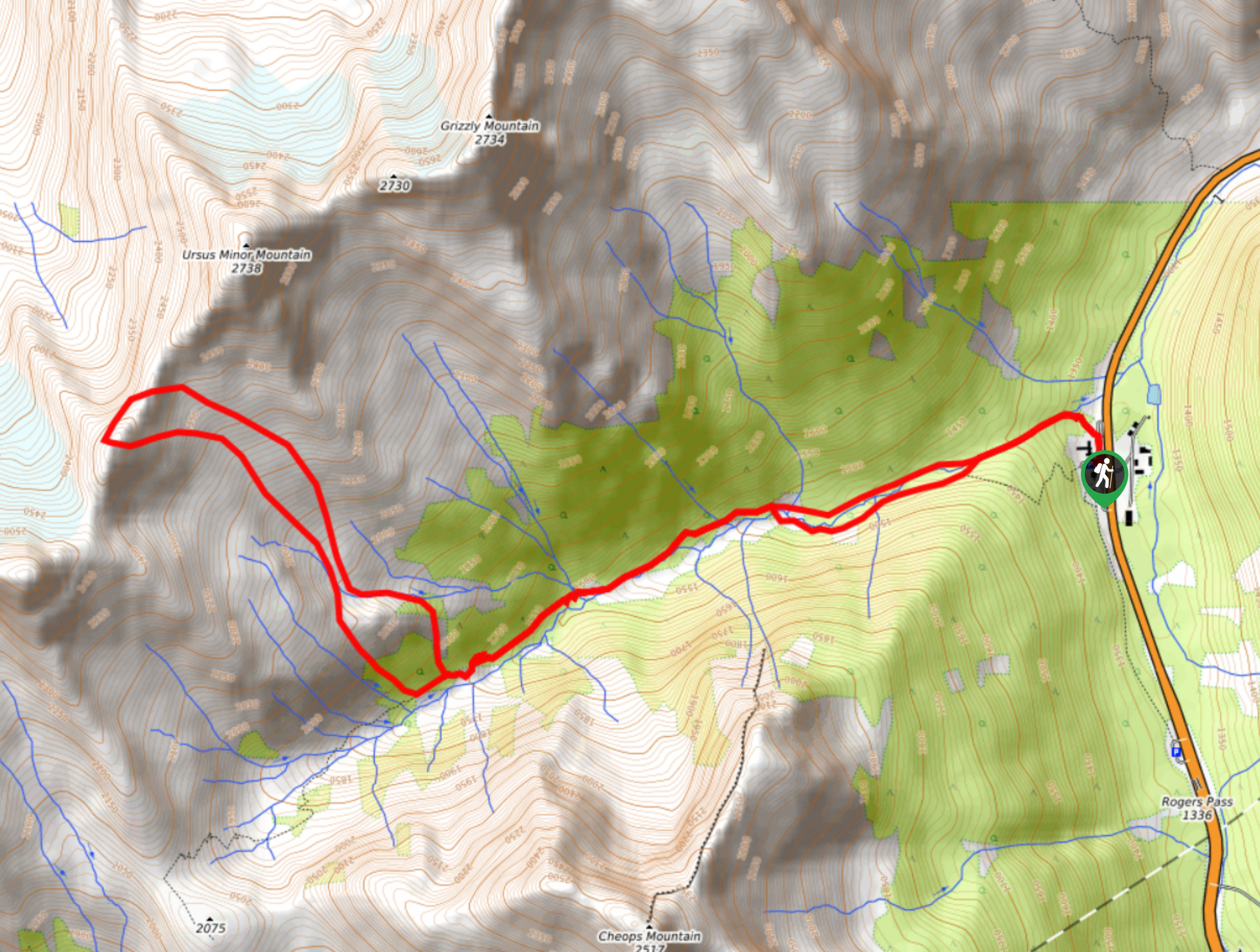
06. Asulkan Valley Trail
Difficulty
The Asulkan Valley Trail is a challenging out-and-back hiking route that travels 8.3mi… Read More
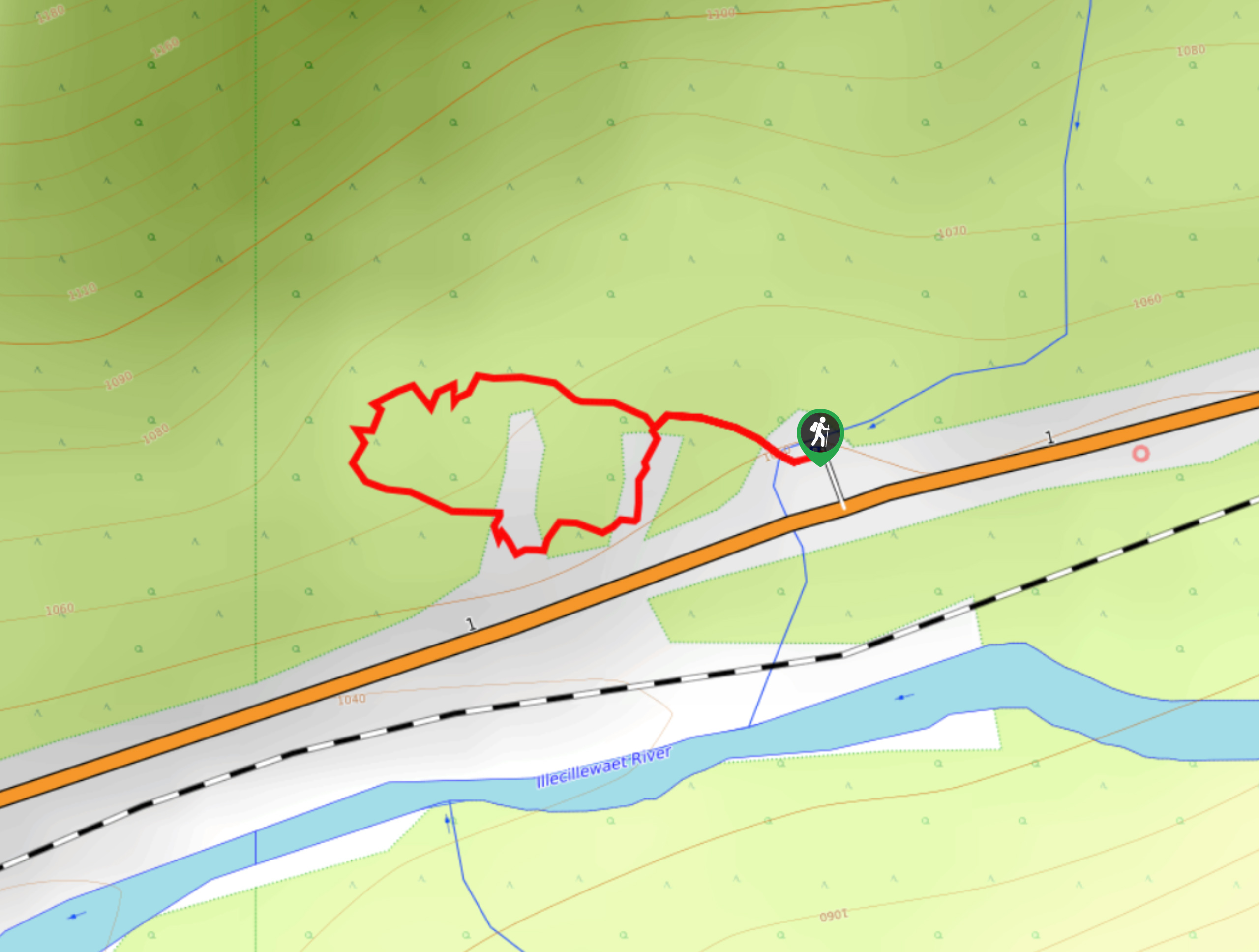
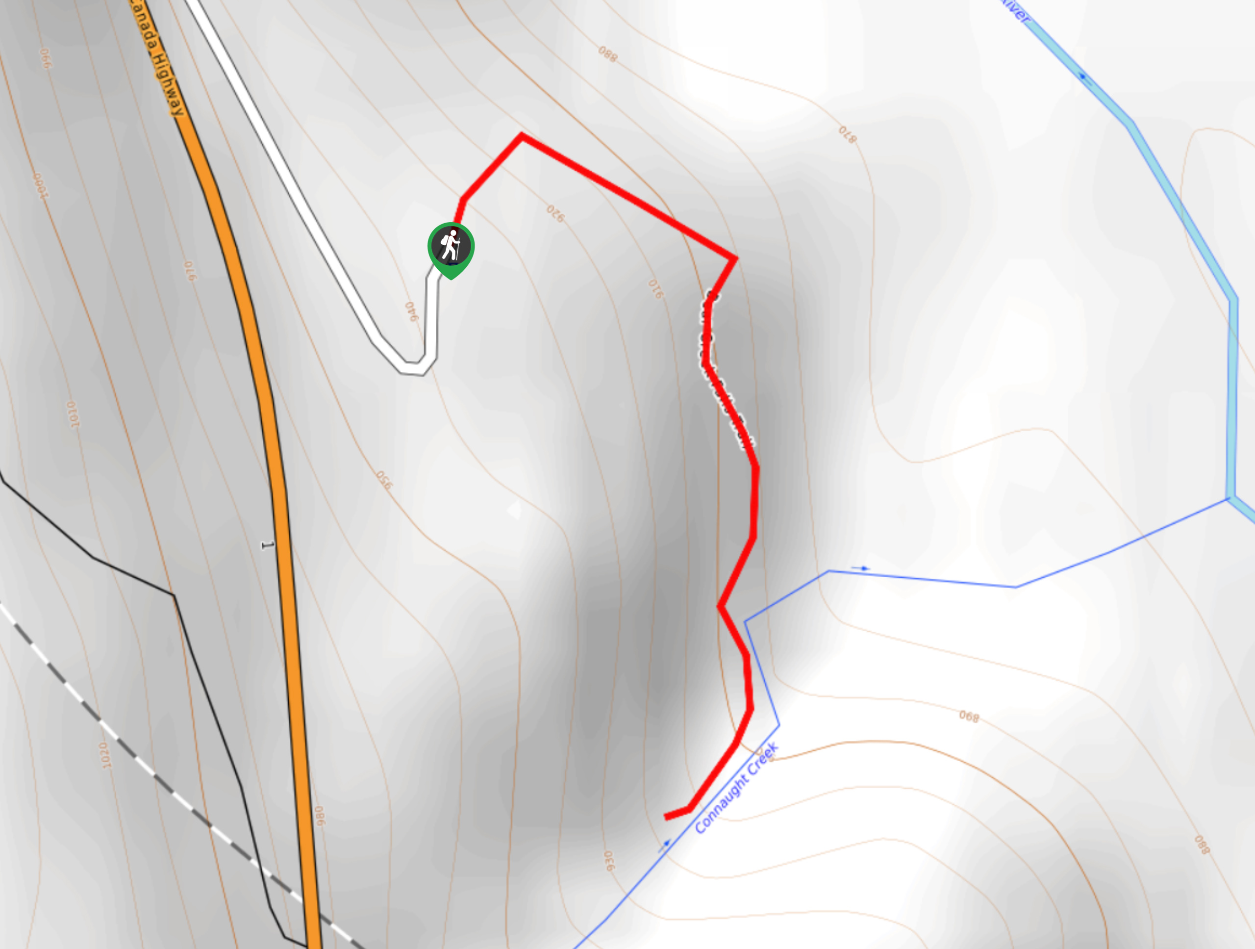
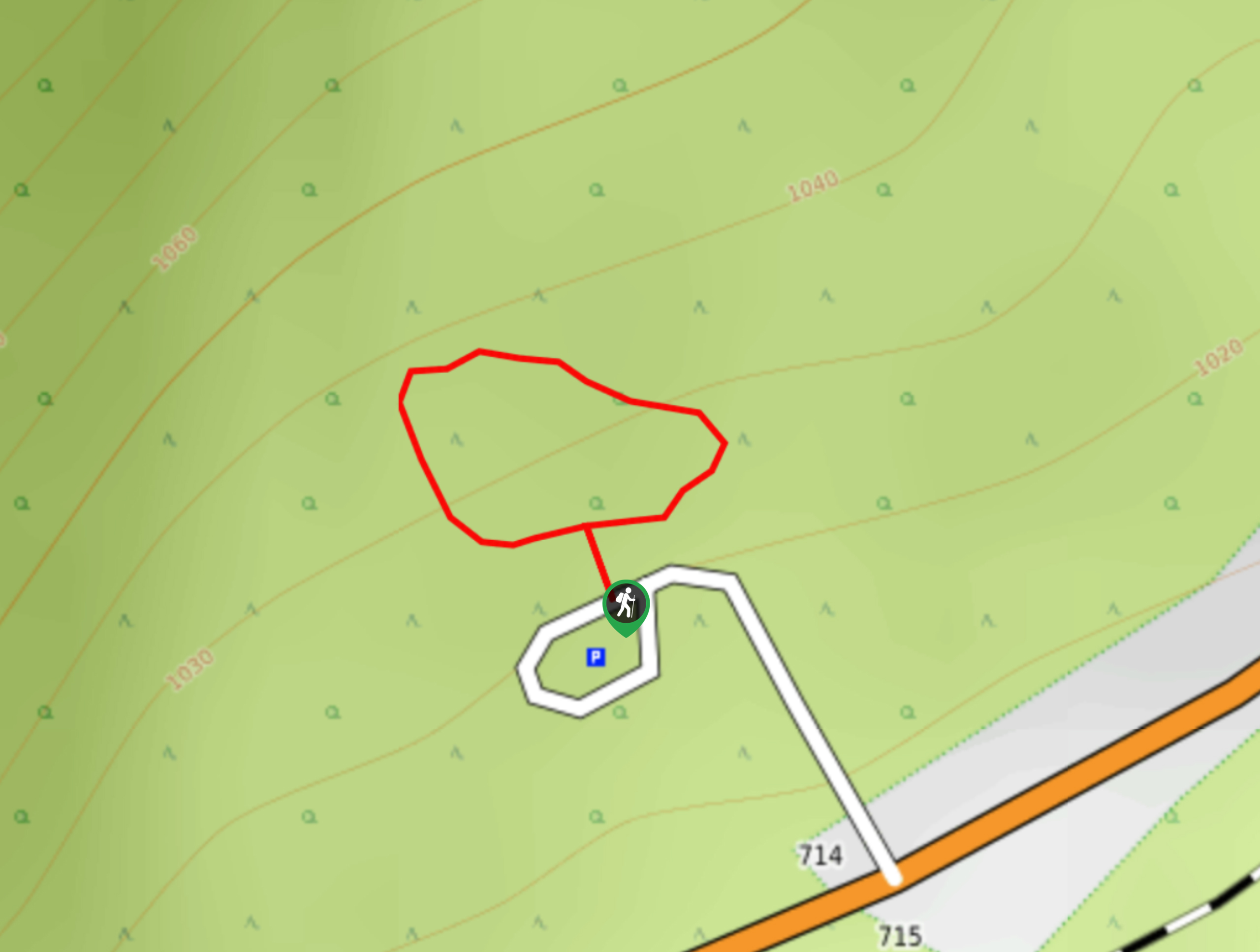
07. Rockgarden Trail
Difficulty
The Rockgarden Trail is a quick little hike along the side of Highway 1 in… Read More
08. Hemlock Grove Boardwalk
Difficulty
Stroll along the well-maintained paths of the Hemlock Grove Boardwalk to experience the scenic woodland… Read More
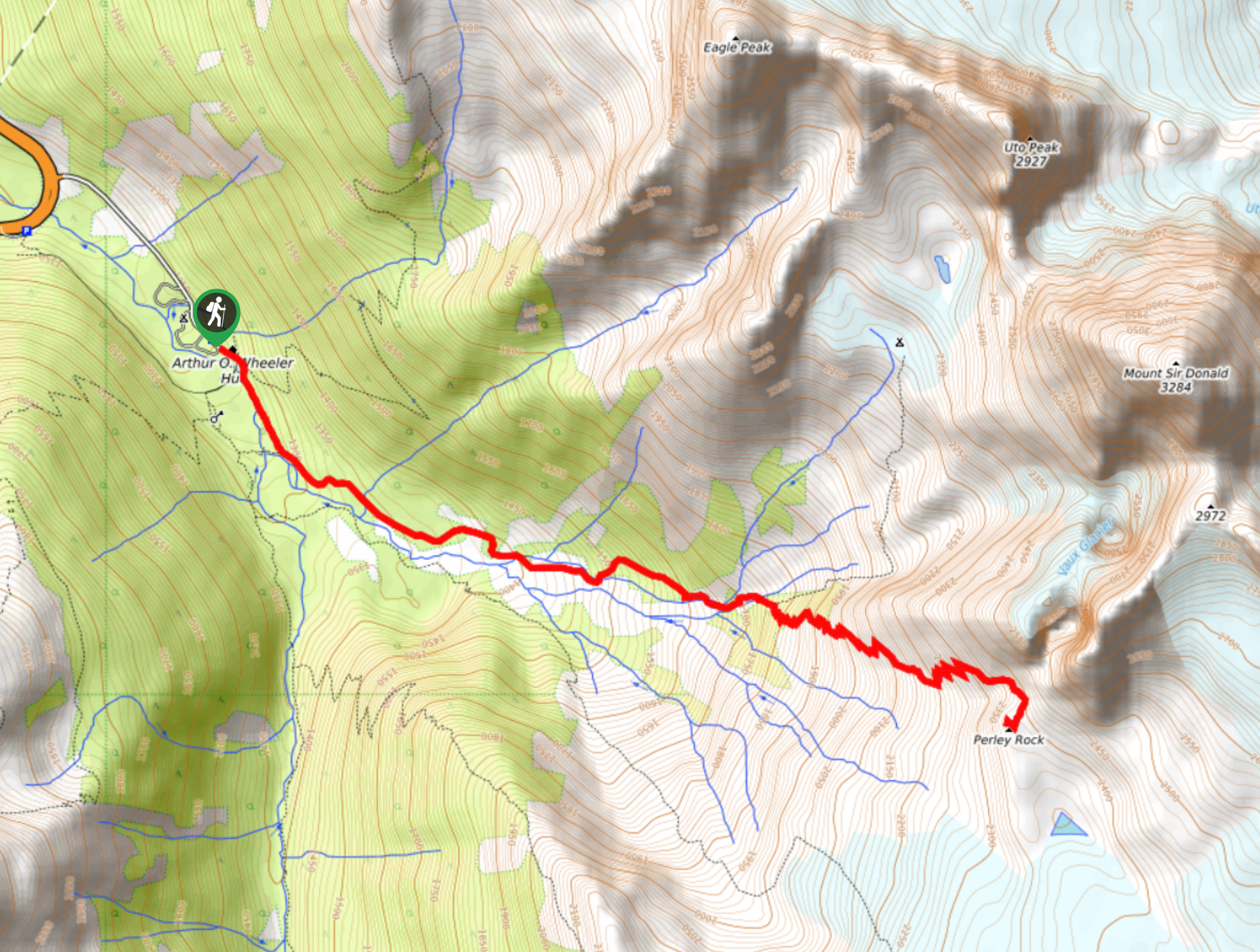
09. Perley Rock Trail
Difficulty
The Perley Rock Trail is a tough uphill hiking route in Glacier National Park that… Read More
10. Marion Lake Lookout
Difficulty
The Marion Lake Lookout is a fantastic viewpoint located at the end of a 3.4mi Read More
Yes, there are more than 10
Glacier National Park, BC is so beautiful that we can not give you only 10 hikes. So here is a list of bonus hikes in Glacier National Park, BC that you should take a look at as well
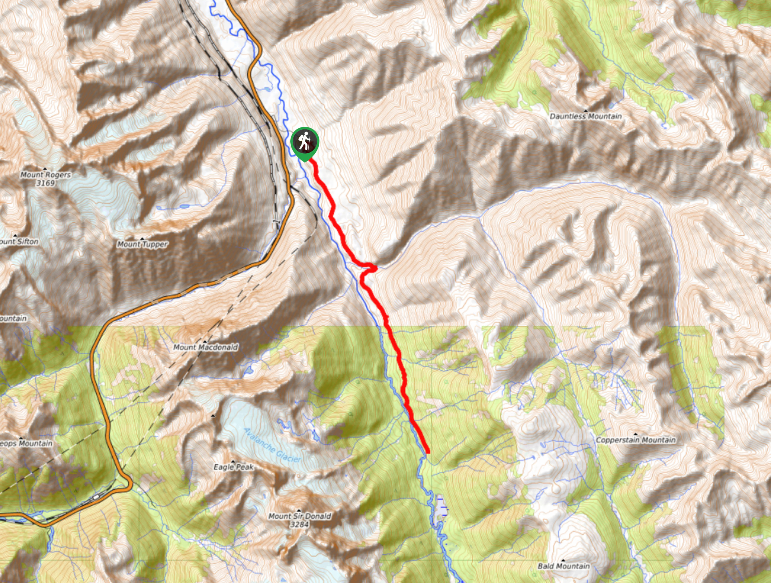
11. Beaver River Trail
Difficulty
The Beaver River Trail is a 14.0miout-and-back hiking route that travels into the… Read More
12. Bostock Creek Trail
Difficulty
The Bostock Creek Trail is a 9.5mi out-and-back hiking route that climbs uphill… Read More
13. Avalanche Crest Trail
Difficulty
Hike along the Avalanche Crest Trail to experience beautiful mountain top views and spot many… Read More
14. Video Peak Trail
Difficulty
The Video Peak Trail is a scenic 8.4mi hiking route in Glacier National… Read More
15. Hermit Trail
Difficulty
Hike along the Hermit Trail for a physically demanding but ultimately rewarding journey up to… Read More
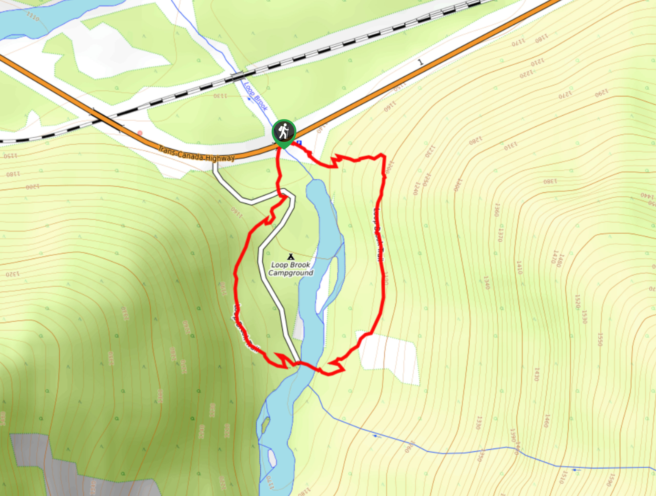
16. Loop Brook Trail
Difficulty
The Loop Brook Trail is a short, informative hiking route that will take you through… Read More
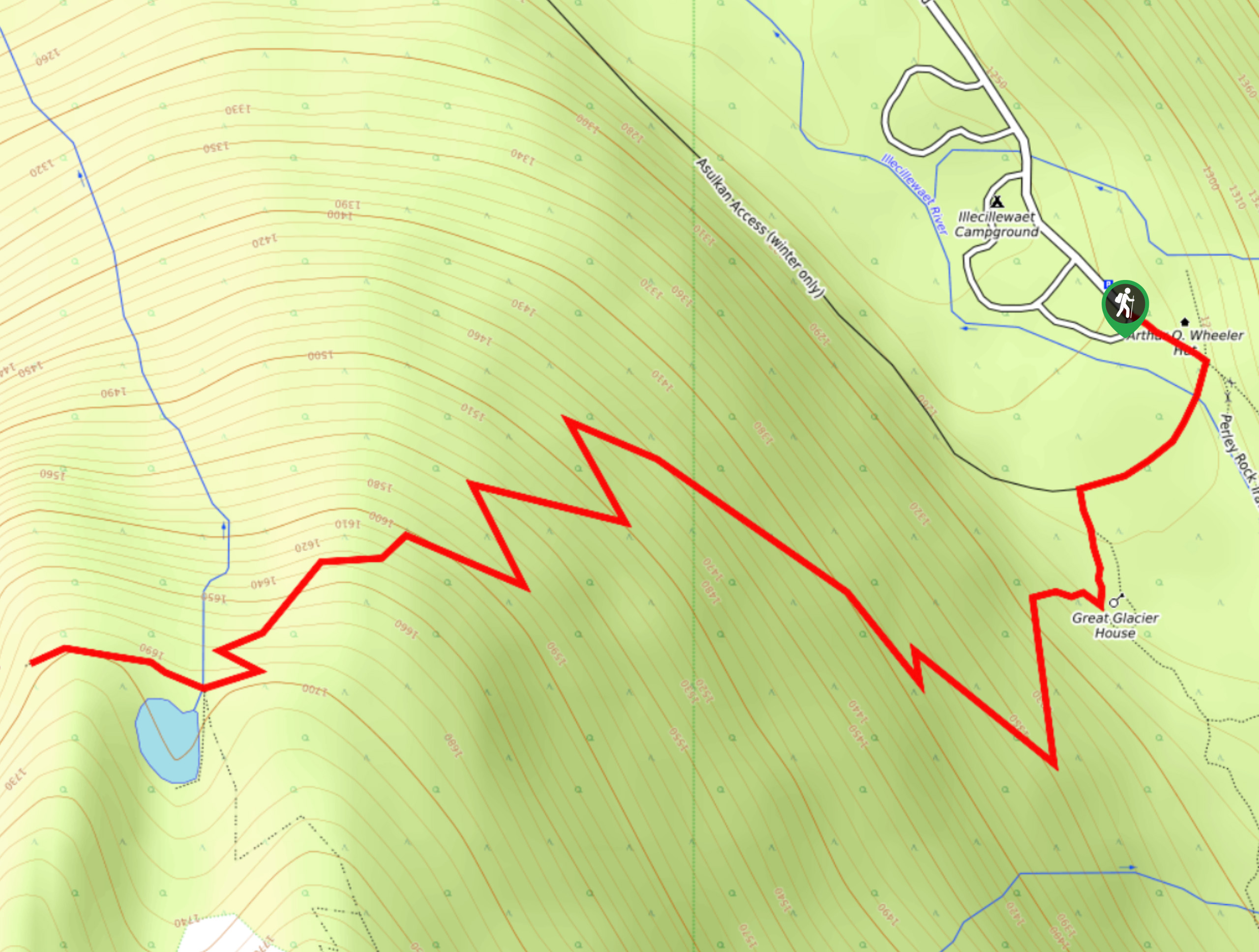
17. Great Glacier Trail
Difficulty
The Great Glacier Trail is an 4.9mi out-and back hiking route in Glacier… Read More
Are we missing your favourite hike?
Tell us! If you've got photos, a GPS track and know the hike, we'd love to share your favourite hike with the rest of the 10Adventures community.