Hermit Trail
View Photos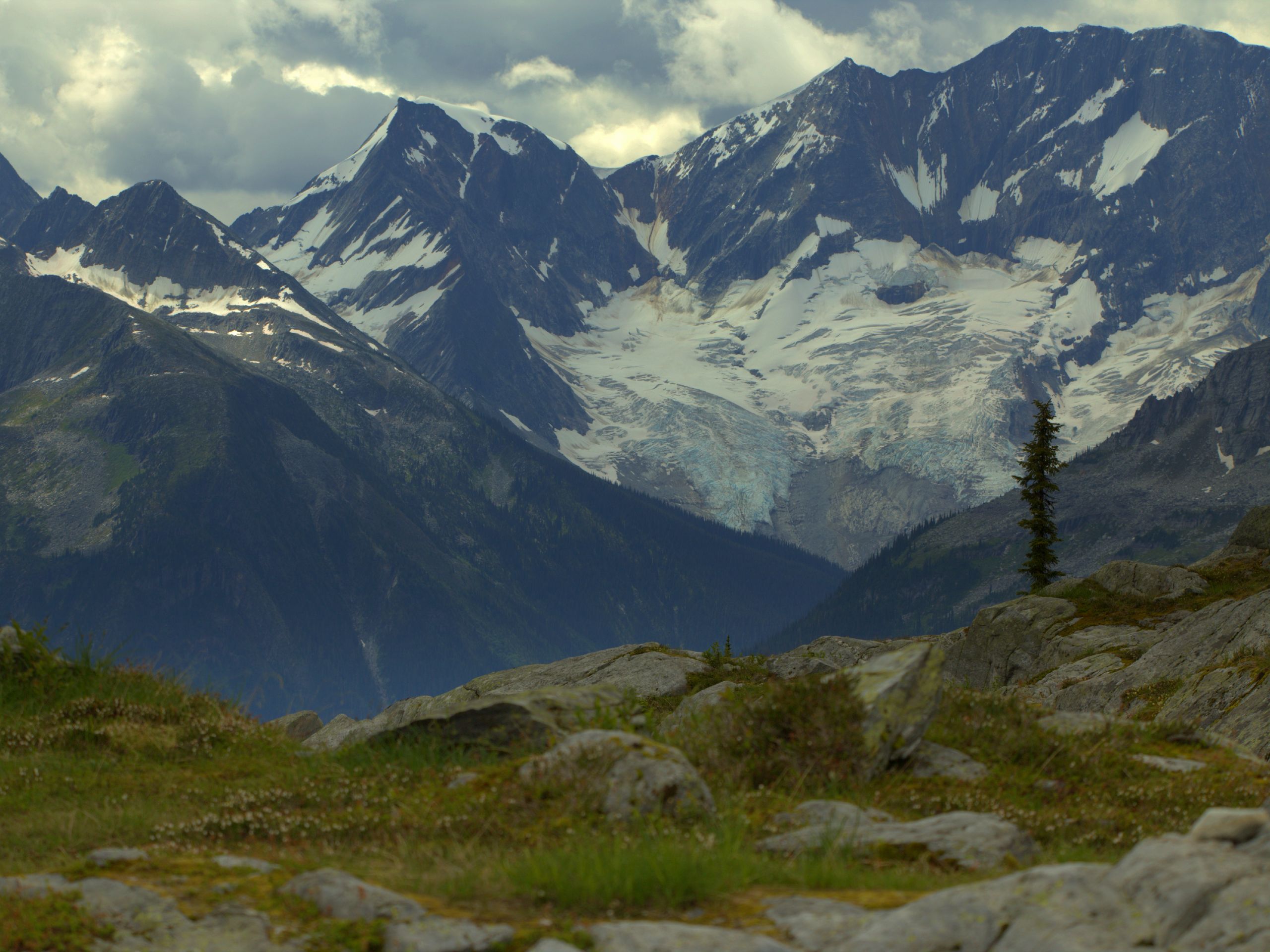
Hermit Trail
Difficulty Rating:
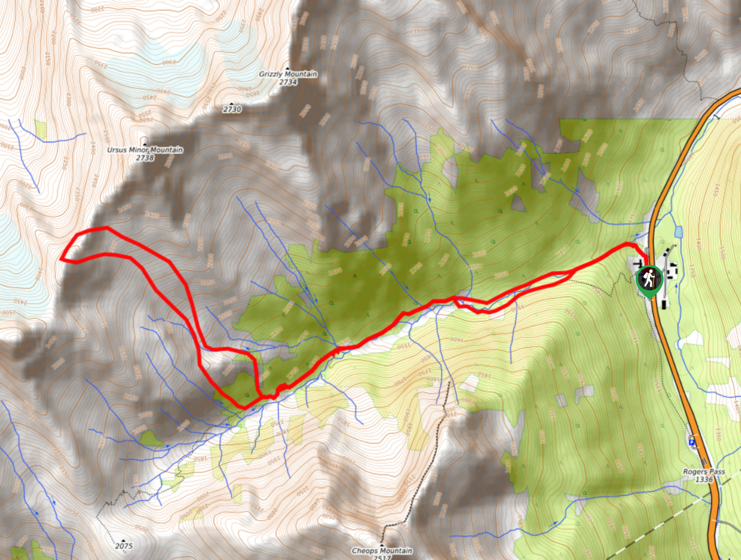
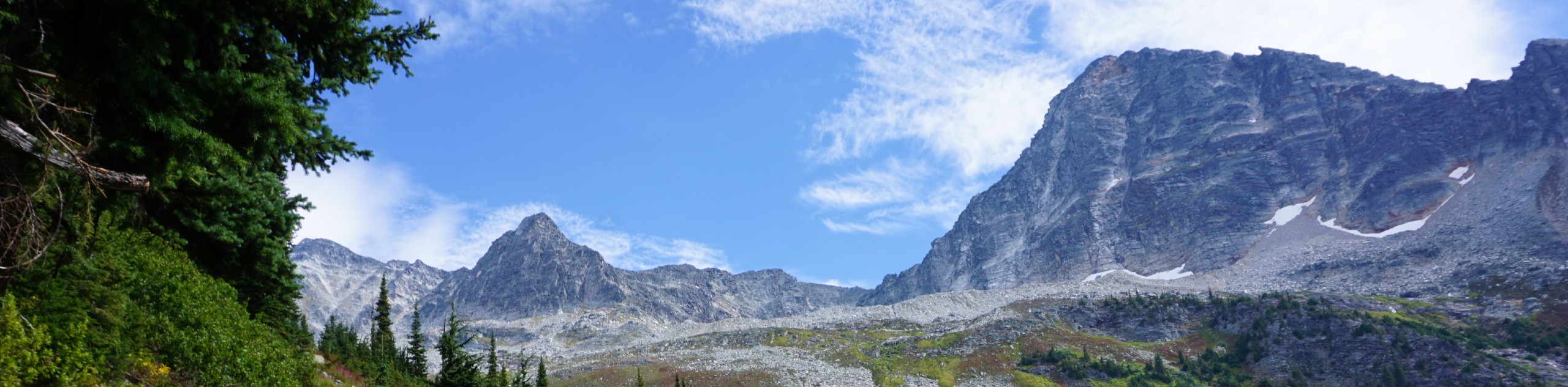
Hike along the Hermit Trail for a physically demanding but ultimately rewarding journey up to an alpine campsite in Glacier National Park. This route takes hikers on a steep uphill climb that is sure to leave your legs burning; however, the views of surrounding mountains are certainly worth the effort. Remember to bring a GPS, as route finding can be a bit difficult on this hike.
Getting there
To access the parking area for the Hermit Trail from Revelstoke, make your way east along BC-1 E for 42.1mi and turn left to enter the parking lot where you will find the trailhead.

About
| When to do | June-October |
| Backcountry Campsites | Hermit Campground |
| Pets allowed | Yes - On Leash |
| Family friendly | No |
| Route Signage | Poor |
| Crowd Levels | Moderate |
| Route Type | Out and back |
Hermit Trail
Elevation Graph
Weather
Hermit Trail Description
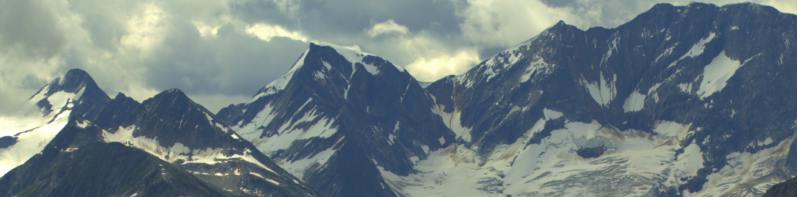
The Hermit Trail is a difficult hiking route in Glacier National Park that climbs uphill through the beautiful alpine landscape to the picturesque Hermit Campground. Hikers will need to bring a GPS or trail map in order to navigate the trail, as it is poorly marked and is often blanketed in snow. Make sure to bring snowshoes, crampons, or microspikes to help traverse the snowy terrain in the early/late season. Along this route, you will experience amazing views that look out over the surrounding area including nearby peaks, such as the Cheops, Grizzly, and Hermit mountains, as well as Mount Sir Donald and Avalanche Mountain to the southeast. This short and steep trail is an amazing way to enjoy the picturesque alpine landscape of Glacier National Park.
Similar hikes to the Hermit Trail hike
Video Peak Trail
The Video Peak Trail is a scenic 8.4mi hiking route in Glacier National Park that takes you through…
Bostock Creek Trail
The Bostock Creek Trail is a 9.5mi out-and-back hiking route that climbs uphill alongside the rushing waters of…
Avalanche Crest Trail
Hike along the Avalanche Crest Trail to experience beautiful mountain top views and spot many of the frigid glaciers that…
Comments