Bostock Creek Trail
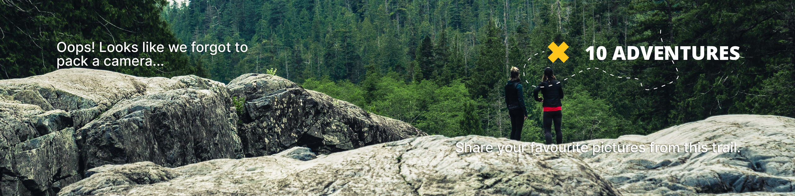
View Photos
Bostock Creek Trail
Difficulty Rating:
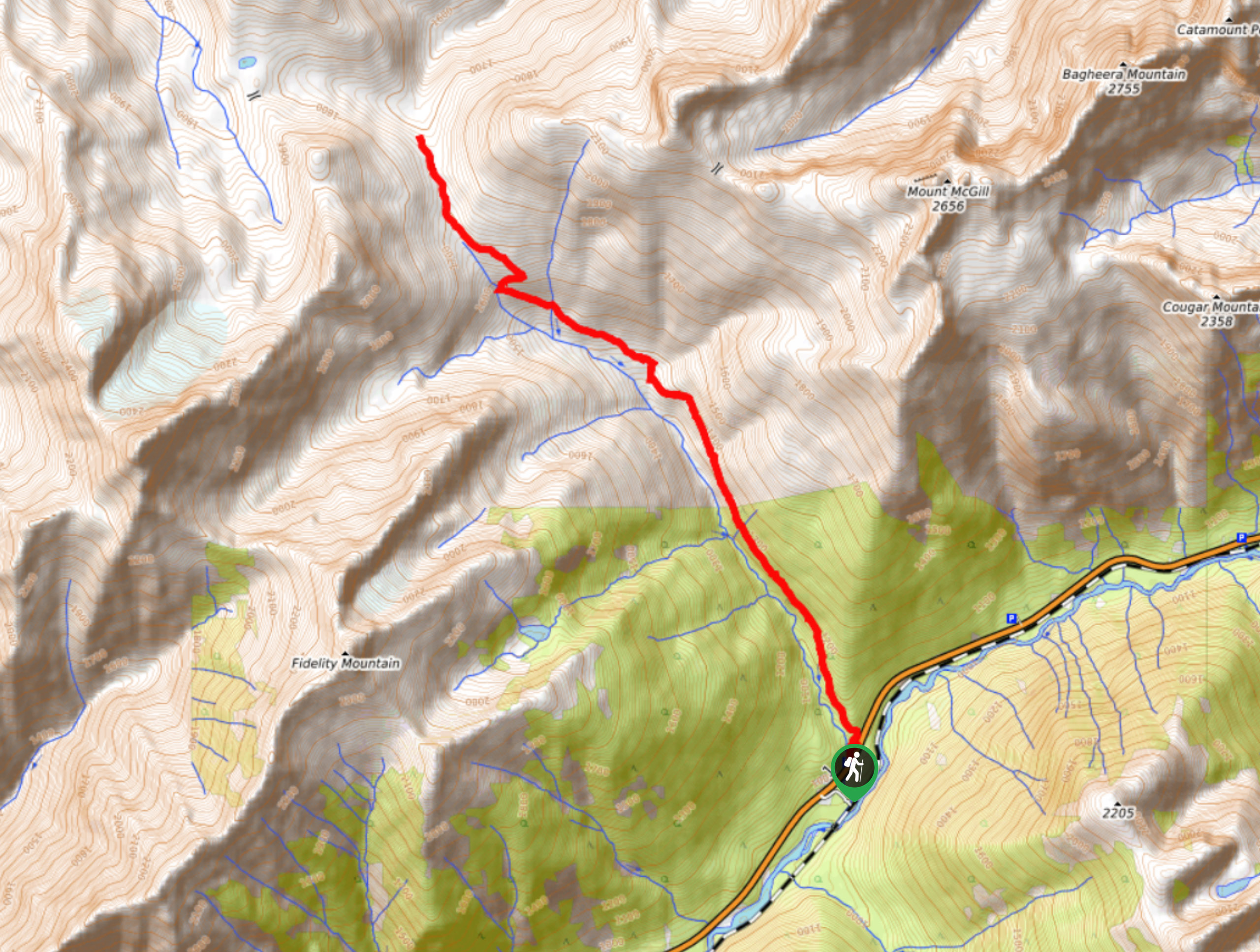
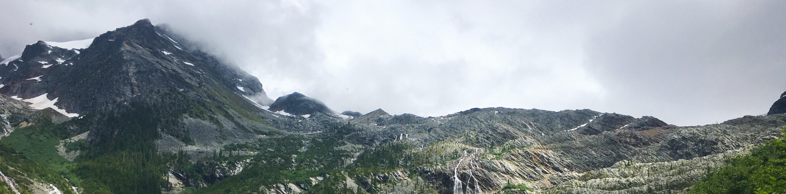
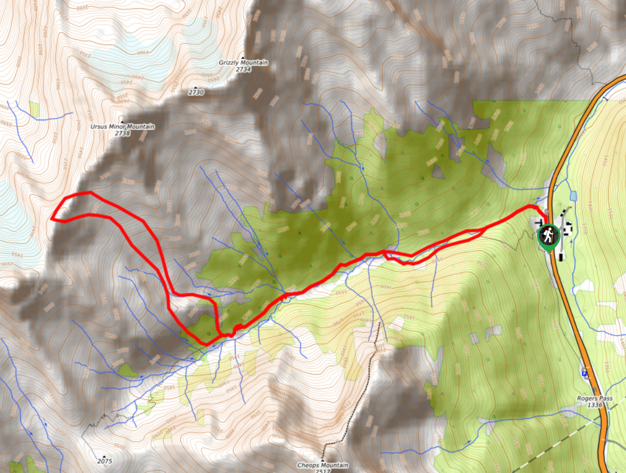
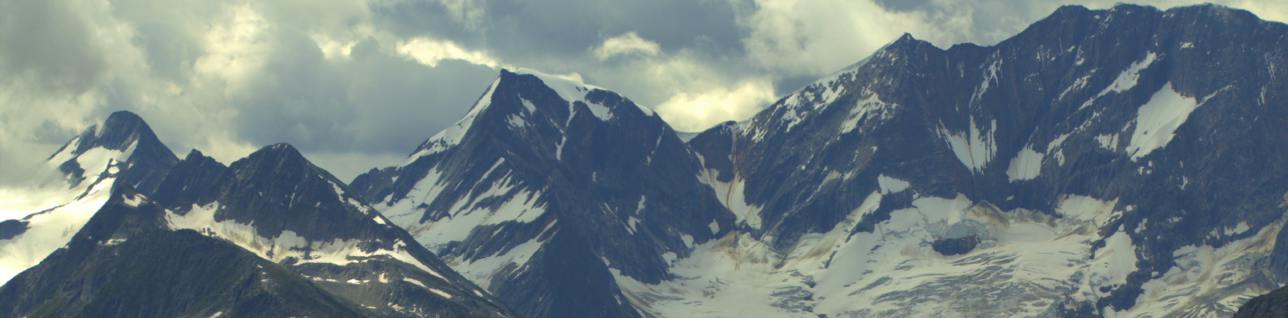
The Bostock Creek Trail is a 9.5mi out-and-back hiking route that climbs uphill alongside the rushing waters of the creek and traverses a mix of terrain that includes forested trails and an alpine meadow. Along this route, hikers will largely be surrounded by a beautiful forest setting, but will be able to catch glimpses of nearby mountains through the tree cover and when they break into the alpine.
Getting there
To access the Bostock Creek trailhead from Revelstoke, make your way east on BC-1 for 29.8mi, where you will find a roadside parking lot on the left next to the trailhead.

About
| When to do | June-October |
| Backcountry Campsites | No |
| Pets allowed | Yes - On Leash |
| Family friendly | No |
| Route Signage | Poor |
| Crowd Levels | Low |
| Route Type | Out and back |
Bostock Creek Trail
Elevation Graph
Weather
Bostock Creek Trail Description
The Bostock Creek Trail is a largely forested hiking route in Glacier National Park that follows closely alongside Bostock Creek and provides some scenic views of the surrounding mountains that loom over the valley. This trail is a bit overgrown in spots, and several of the bridges along the route are in ill-repair. In addition to this, there are few trail markings along the route, so make sure to bring a trail map or GPS in order to follow along the correct route. As with all routes in Glacier National Park, make sure to pack bear spray and travel in large groups.
While there is no summit with amazing views, the trail does pass through a beautiful stretch of forest and offers glimpses of the surrounding mountains through the tree cover. As you work your way along the trail and over several streams, you will eventually break out into a meadow with some great views of the alpine landscape. Reaching the end of the trail is somewhat anticlimactic, as there aren’t any real views; however, this does mean that you will get to experience all of the same highlights as you backtrack along the trail for your return journey.
Similar hikes to the Bostock Creek Trail hike
Great Glacier Trail
The Great Glacier Trail is an 4.9mi out-and back hiking route in Glacier National Park that features waterfalls,…
Video Peak Trail
The Video Peak Trail is a scenic 8.4mi hiking route in Glacier National Park that takes you through…
Hermit Trail
Hike along the Hermit Trail for a physically demanding but ultimately rewarding journey up to an alpine campsite in Glacier…
Comments