Abbott Ridge Trail
View Photos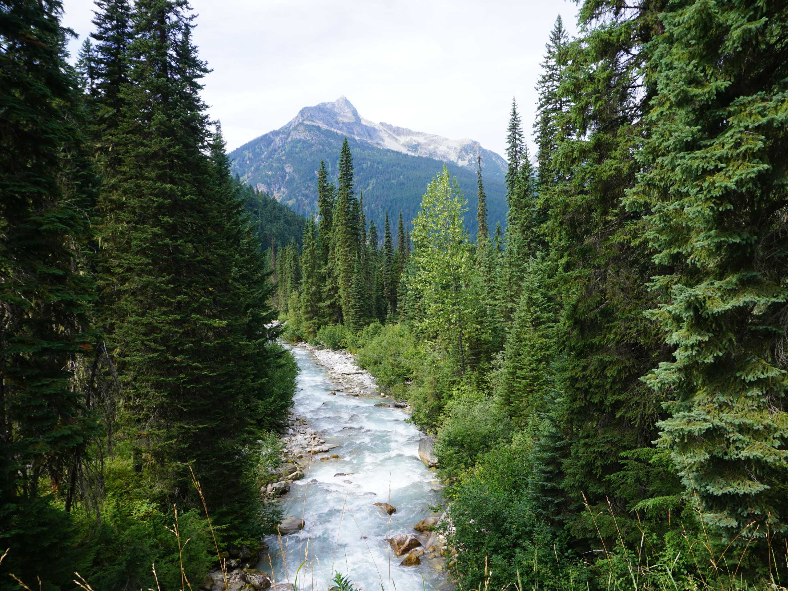
Abbott Ridge Trail
Difficulty Rating:
The Abbott Ridge Trail is a 9.9mi out-and-back route in Glacier National Park that will take you on a tough uphill climb to witness awesome views from atop the ridge. Visit the pristine waters of Marion Lake before pushing on to the ridgeline, where you will have a vantage point over the entire alpine valley. This trail is known for having some of the best views in the entire park.
Getting there
To get to the trailhead for the Abbott Ridge Trail from Revelstoke, drive east on BC-1 E for 37.9mi and make a right-hand turn to arrive at the Illecillewaet Campground. Here, you will find the trailhead just beyond the parking area.

About
| When to do | June-October |
| Backcountry Campsites | Illecillewaet Campground |
| Pets allowed | Yes - On Leash |
| Family friendly | No |
| Route Signage | Average |
| Crowd Levels | Moderate |
| Route Type | Lollipop |
Abbott Ridge Trail
Elevation Graph
Weather
Abbott Ridge Trail Description
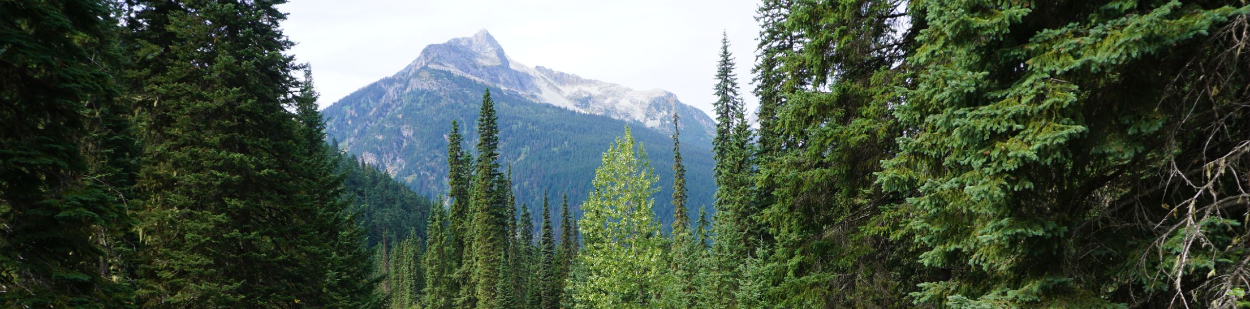
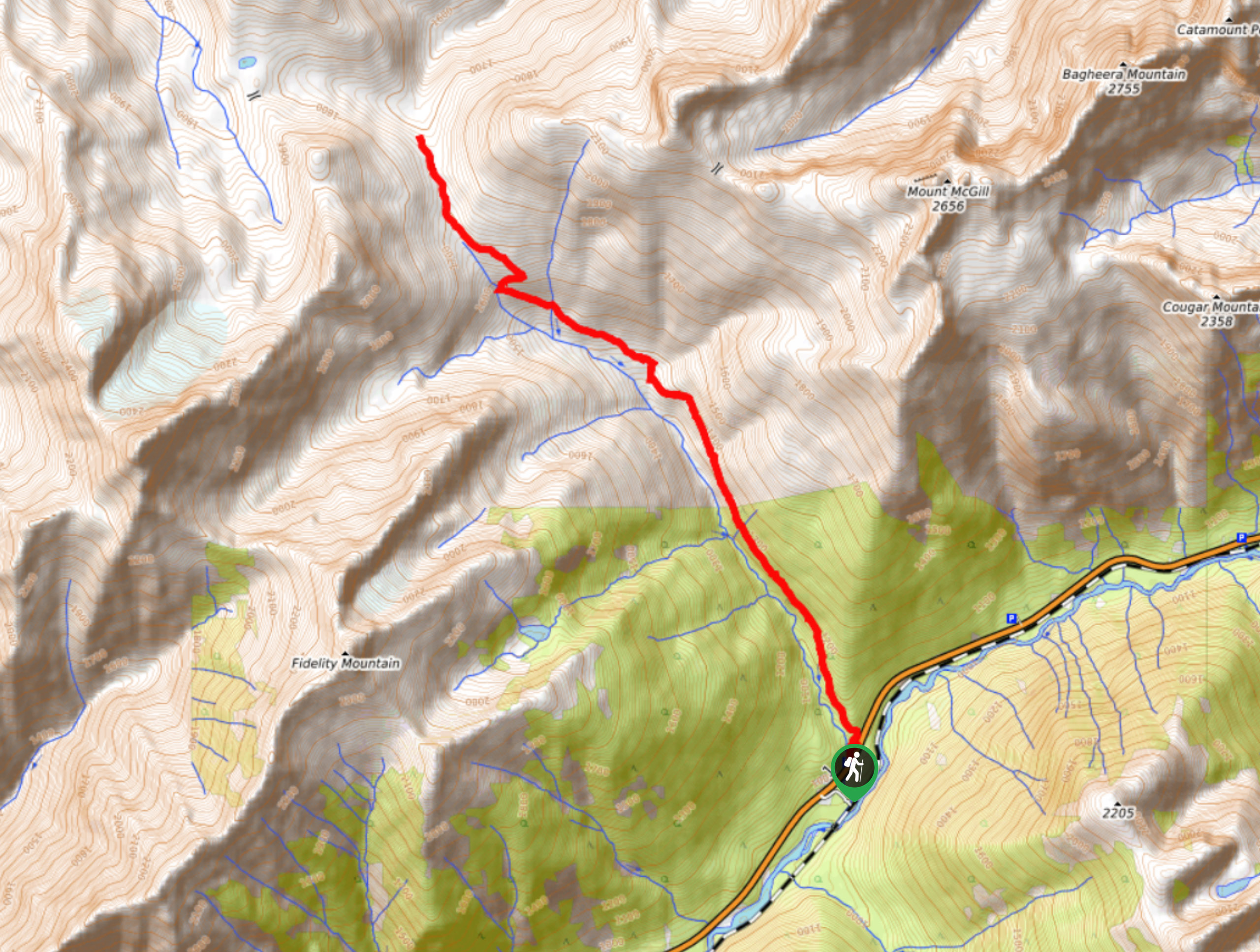
The Abbott Ridge Trail is a challenging hiking route in Glacier National Park that will take hikers uphill along a series of switchbacks to the beautiful waters of Marion Lake before continuing to the amazing views from atop Abbott Ridge. This route is right in the heart of bear country, so make sure that you travel in groups, make noise along the trail, and carry bear spray to avoid any potentially dangerous encounters. For those looking to stay the night near the trail, there are options for camping at the nearby Illecillewaet Campground, or you can utilize the Arthur O. Wheeler Hut at the beginning of the trail.
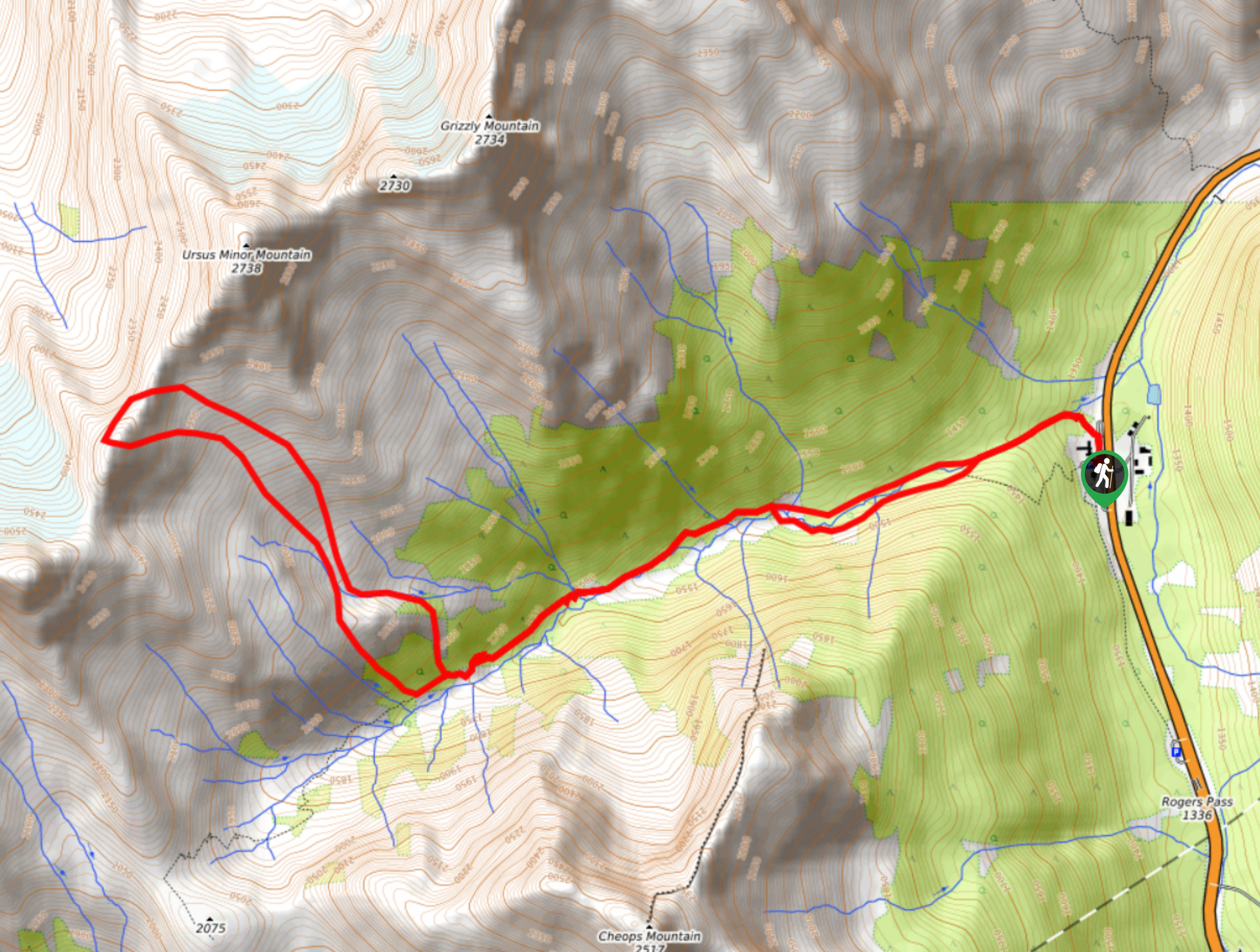
Setting out from the parking area, make your way past Wheeler Hut and head right to cross over the Illecillewaet River. Take the next trail that branches off to the left and keep right to skirt alongside the Great Glacier House on a route up to Marion Lake. This route will pass through a series of switchbacks the entire way up to the lake as you steadily gain elevation. Reaching the beautiful lake, head right for 656ft along a short path to a viewpoint overlooking Rogers Pass before making your way back to the main trail.
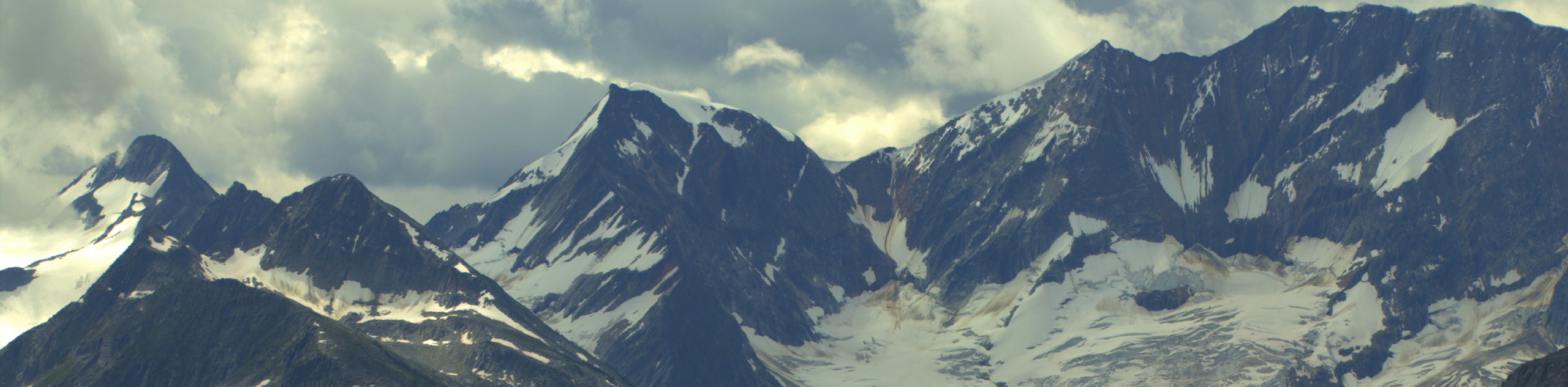
Continuing uphill, take the path to the right when you reach the fork in the trail to set off on a steep route to Abbott Ridge. Keep right along the trail as you climb uphill and are surrounded by amazing views that reach out in all directions. Eventually, you will reach a rockwall that is a natural stopping point for many hikers. Push on a bit further to get to the top of Abbott Ridge for some of the best views that you will find in any of Canada’s parks. To the northeast, you will see Mount Sir Donald at a majestic height of 10774ft and to the west across Highway 1, you will find Cheops, Cougar, and Grizzly Mountains.
After taking in the views, head back down along the Abbott Ridge Trail to return to the carpark below. Reaching the first junction, take the path to the right for a more gradual descent with scenic views.
Similar hikes to the Abbott Ridge Trail hike
Hermit Trail
Hike along the Hermit Trail for a physically demanding but ultimately rewarding journey up to an alpine campsite in Glacier…
Video Peak Trail
The Video Peak Trail is a scenic 8.4mi hiking route in Glacier National Park that takes you through…
Bostock Creek Trail
The Bostock Creek Trail is a 9.5mi out-and-back hiking route that climbs uphill alongside the rushing waters of…
Comments