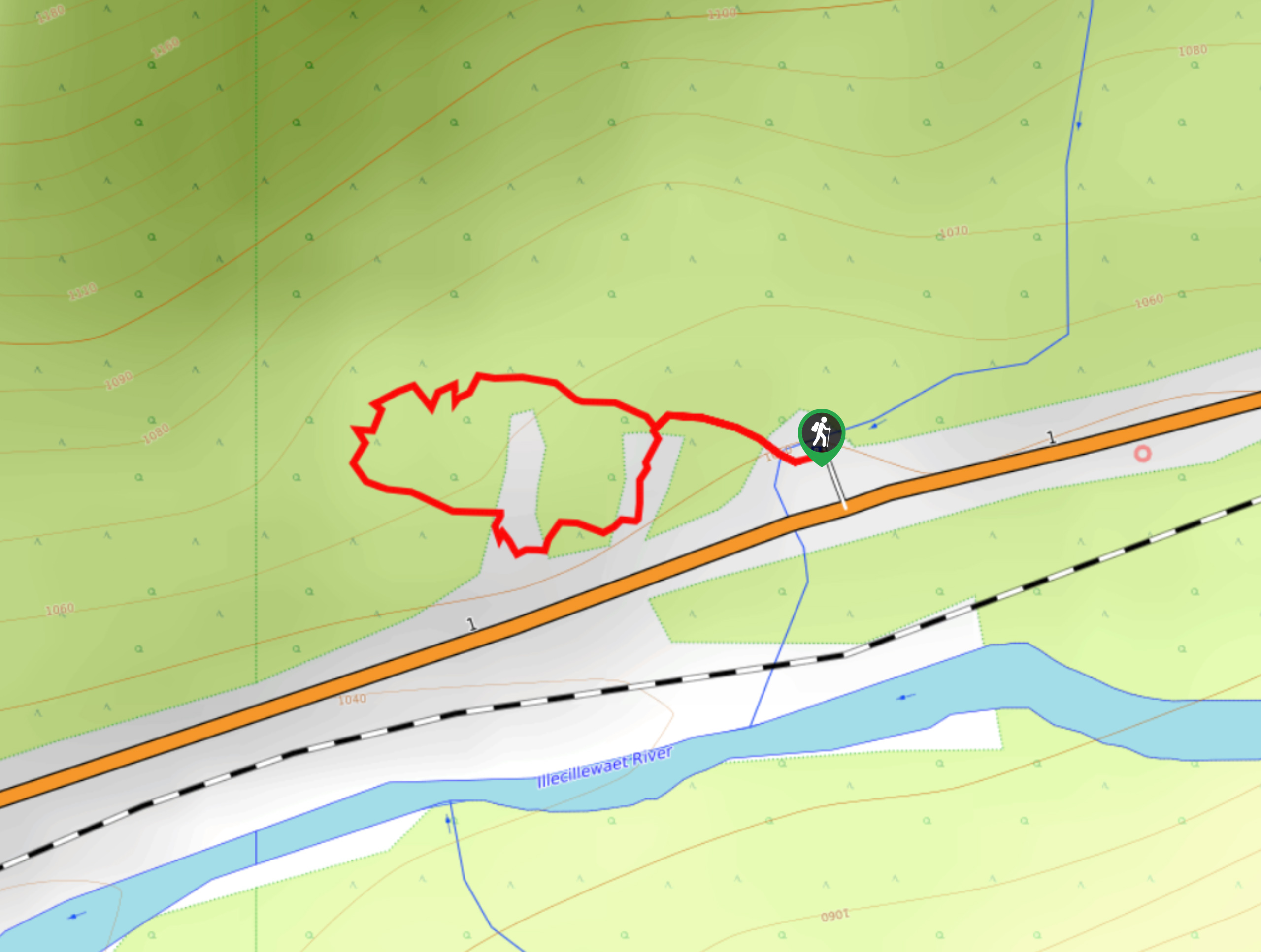
Rockgarden Trail
View Photos
Rockgarden Trail
Difficulty Rating:
The Rockgarden Trail is a quick little hike along the side of Highway 1 in Glacier National Park that features a beautiful stretch of rainforest and a unique boulder field. Thanks to the easy terrain and interesting setting this hike can be utilized by almost anyone, including families and experienced hikers. Walking along this forested trail is a calming experience, and likely a welcome one if you’ve been on the road for a while.
Getting there
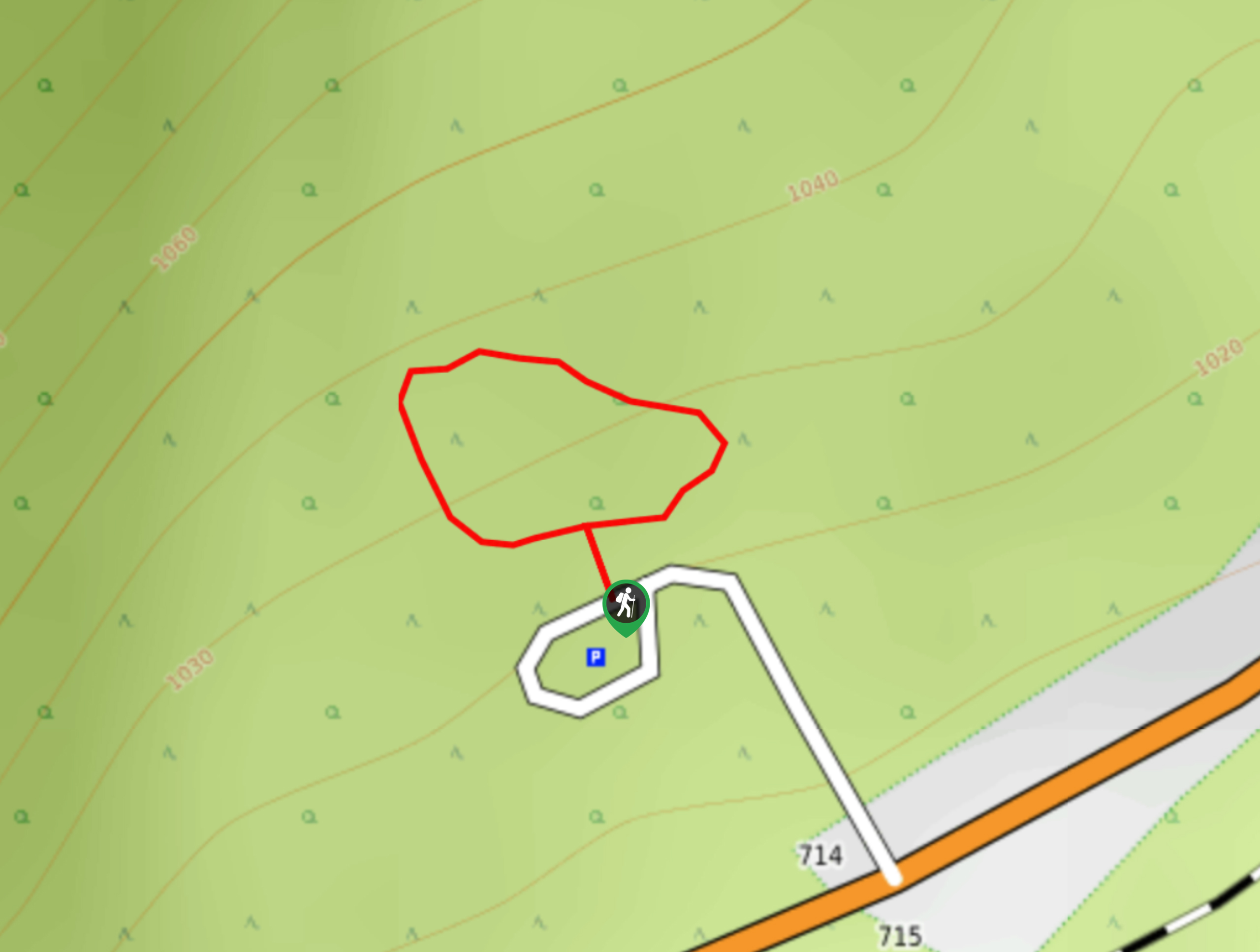
To reach the parking area for the Rockgarden Trail from Revelstoke, make your way east along the Trans Canada Highway/BC-1 E for 33.3mi, at which point you will turn left to enter a parking lot at the trailhead.

About
| When to do | June-October |
| Backcountry Campsites | No |
| Pets allowed | Yes - On Leash |
| Family friendly | Yes |
| Route Signage | Average |
| Crowd Levels | Low |
| Route Type | Lollipop |
Rockgarden Trail
Elevation Graph
Weather
Rockgarden Trail Description
The Rockgarden Trail is a unique hiking route along highway 1 in Glacier National Park that loops through the lush rainforest for 0.4mi on a trail that passes by a field of large boulders. While the route is short, it also offers little in the way of elevation gain, making for a family-friendly hike that is packed with unique features and plantlife. This is an amazing trail that can be used as a means to get off the road and stretch your legs, while taking in the natural beauty of the wooded valley and remarkable rock formations.
Similar hikes to the Rockgarden Trail hike
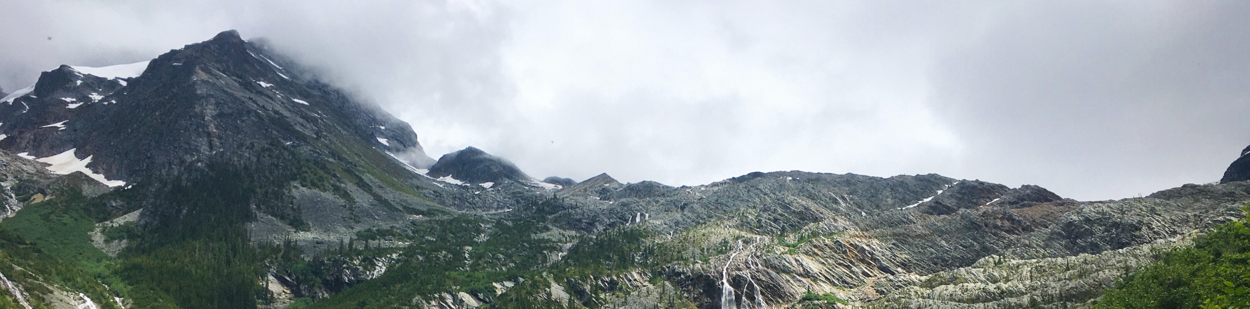
Great Glacier Trail
The Great Glacier Trail is an 4.9mi out-and back hiking route in Glacier National Park that features waterfalls,…
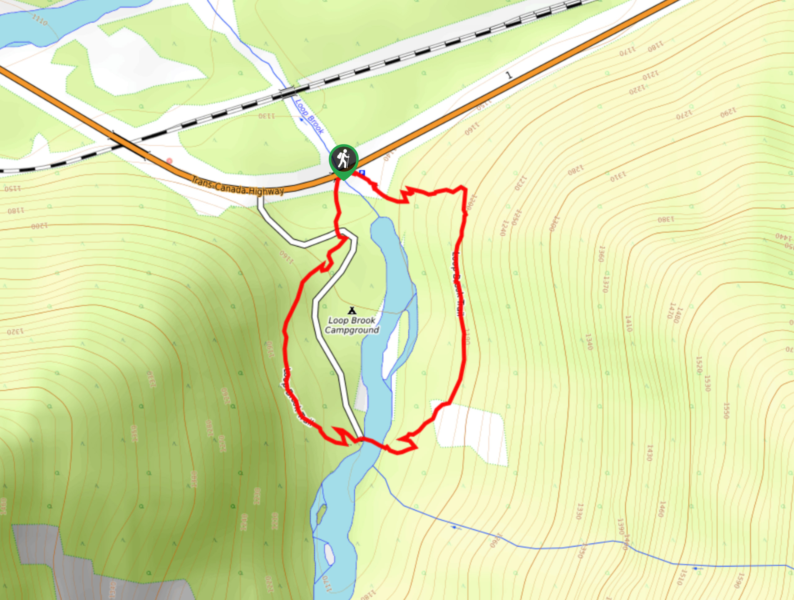
Loop Brook Trail
The Loop Brook Trail is a short, informative hiking route that will take you through the scenic valley to visit…
Hemlock Grove Boardwalk
Stroll along the well-maintained paths of the Hemlock Grove Boardwalk to experience the scenic woodland views that can be found…
Comments