Asulkan Valley Trail
View Photos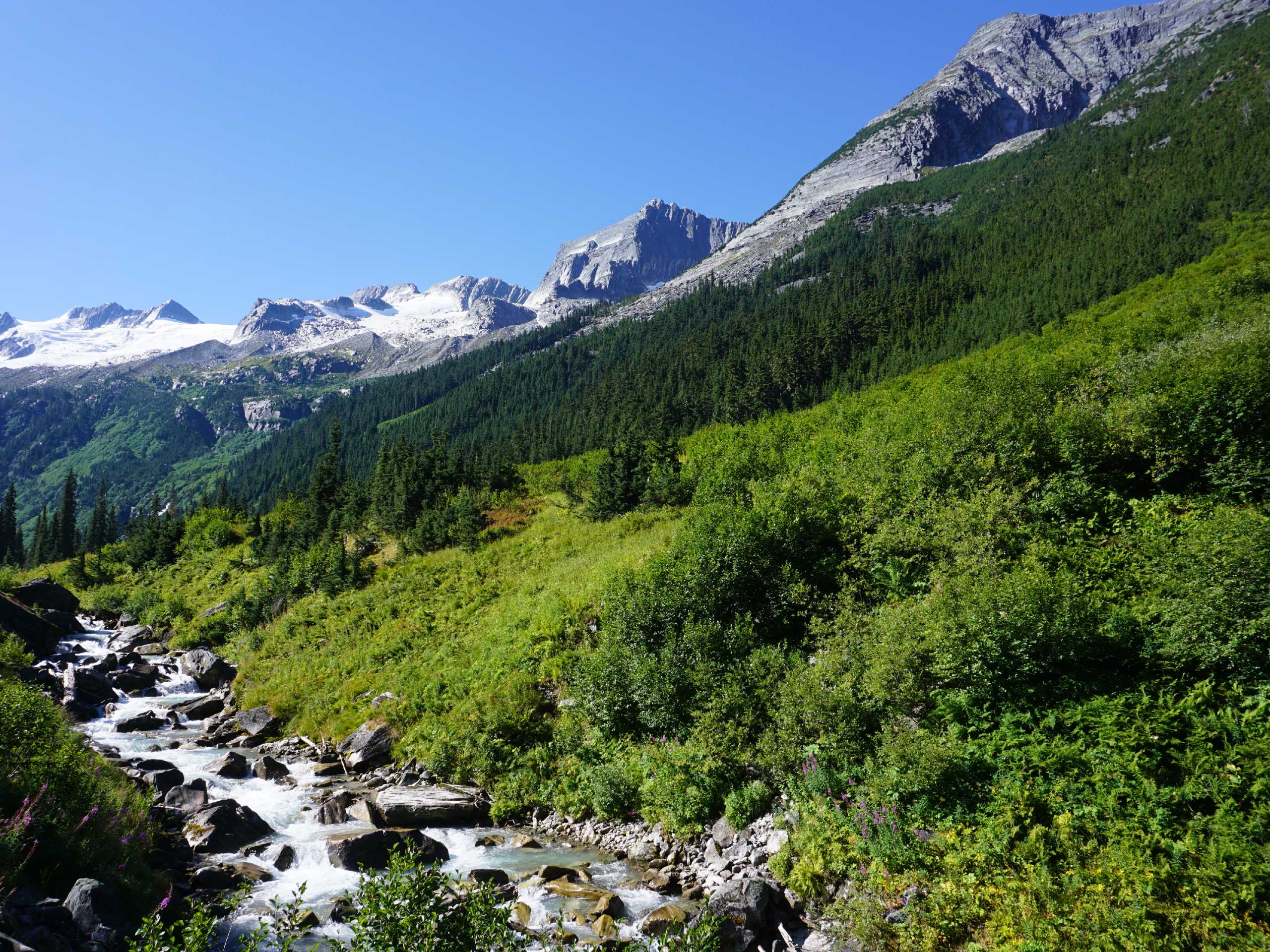
Asulkan Valley Trail
Difficulty Rating:
The Asulkan Valley Trail is a challenging out-and-back hiking route that travels 8.3mi through Glacier National Park to provide hikers with amazingly scenic views of the surrounding mountains. Hikers will climb uphill through the forest on a route that follows closely alongside the Asulkan Brook before making their way up the crest for some truly amazing sights. Portions of this trail are a bit of a grind, but the feeling of looking out over this picturesque valley is hard to beat.
Getting there
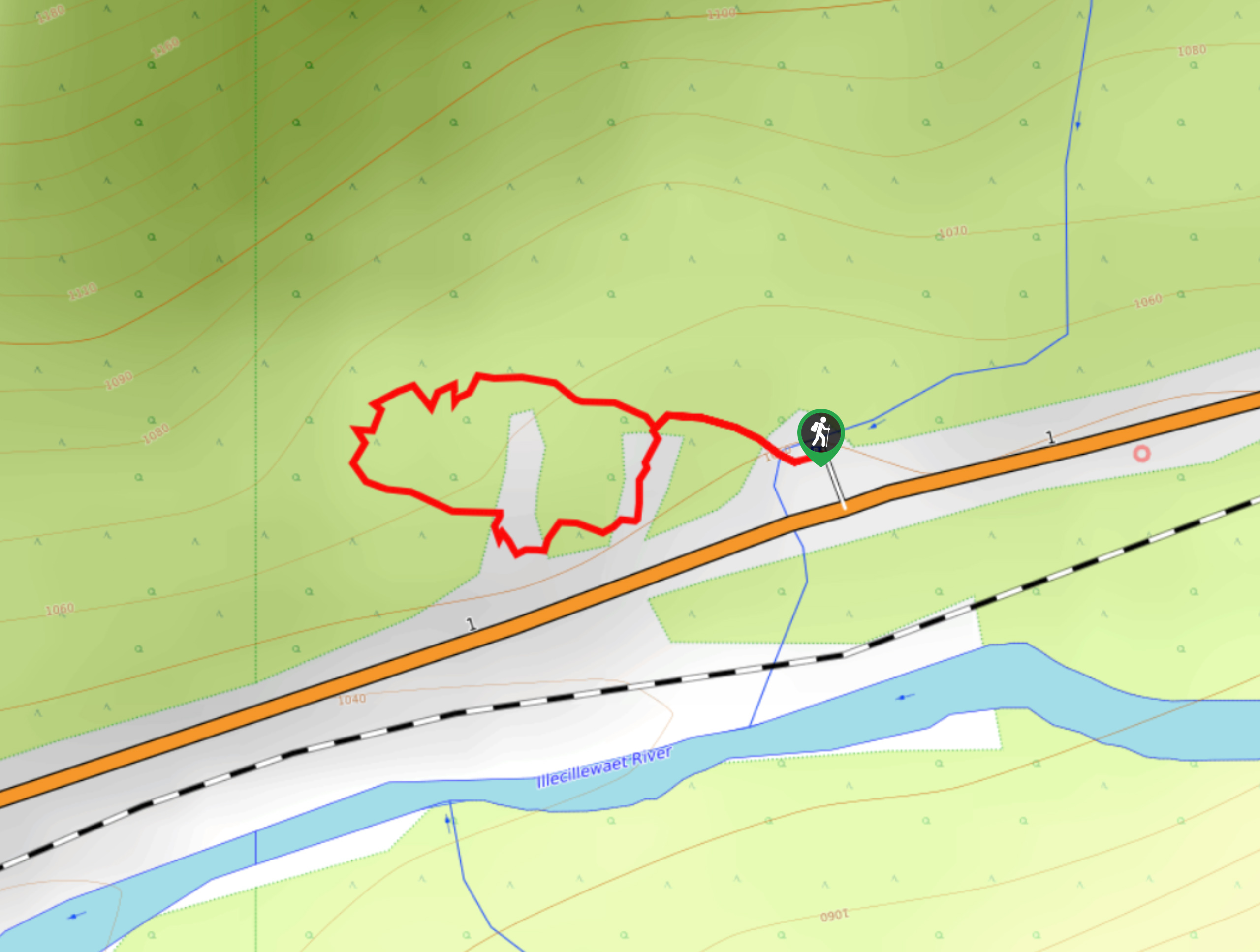
To access the parking area for the Asulkan Valley Trail from Revelstoke, make your way east on BC-1 E for 37.9mi, turning right onto Illecillewaet Campground Road, where you will find the parking area and trailhead.

About
| When to do | June-October |
| Backcountry Campsites | illecillewaet Campground |
| Pets allowed | No |
| Family friendly | No |
| Route Signage | Average |
| Crowd Levels | Moderate |
| Route Type | Out and back |
Asulkan Valley Trail
Elevation Graph
Weather
Asulkan Valley Trail Description
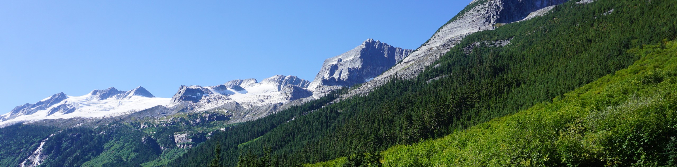
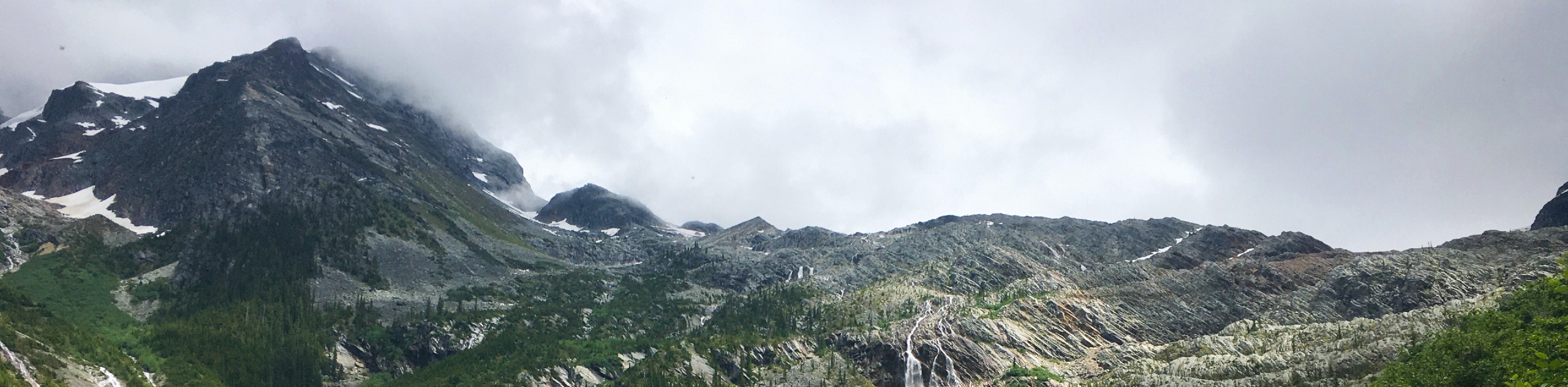
The Asulkan Valley Trail is an amazing hike in Glacier National Park that features majestic waterfalls, stunning views over the valley, and an inspiring sightline that encompasses the rugged mountains that characterize the landscape. At the top of the trail, hikers will find the Asulkan Cabin; however, this is not available to be used for overnight stays by the public.
Following the trail marked for Asulkan Valley, climb through the forest as the trail meanders alongside Asulkan Brook. Along the route you will have some amazing views looking out over the valley, including a pair of scenic waterfalls. Eventually, you will reach a moraine with a clear path up to the crest. After completing the difficult grind to the top, take some time to absorb the spectacular views of the surrounding mountains, including Mount Sir Donald, Uto Peak, and Avalanche Mountain to the northeast, and the Cheops and Grizzly mountains to the northwest. After a bit of rest and a quick snack, make your way back down the Asulkan Valley Trail to return to the carpark below.
Similar hikes to the Asulkan Valley Trail hike
Great Glacier Trail
The Great Glacier Trail is an 4.9mi out-and back hiking route in Glacier National Park that features waterfalls,…
Loop Brook Trail
The Loop Brook Trail is a short, informative hiking route that will take you through the scenic valley to visit…
Rockgarden Trail
The Rockgarden Trail is a quick little hike along the side of Highway 1 in Glacier National Park that features…
Comments