Glacier Crest Trail
View Photos
Glacier Crest Trail
Difficulty Rating:
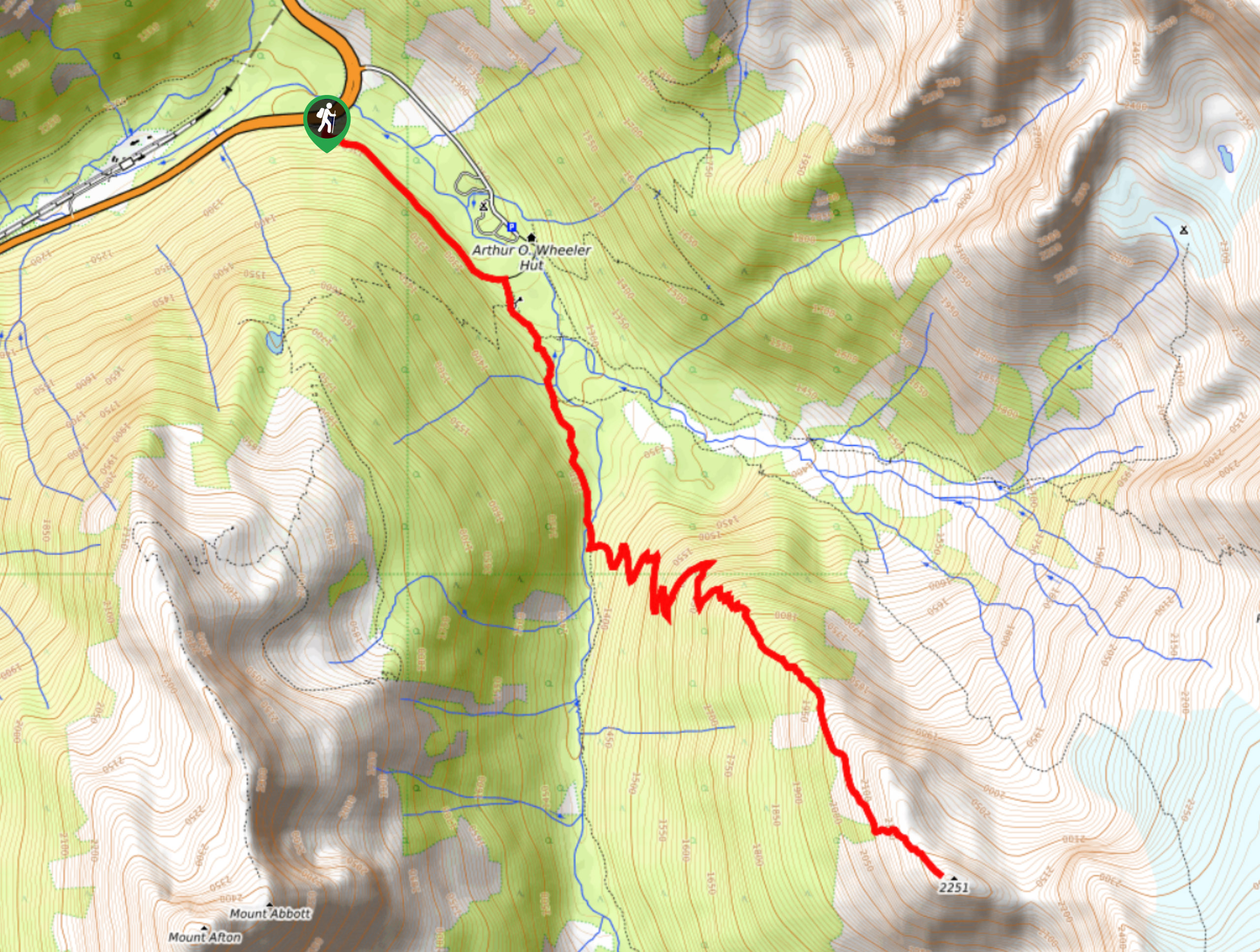
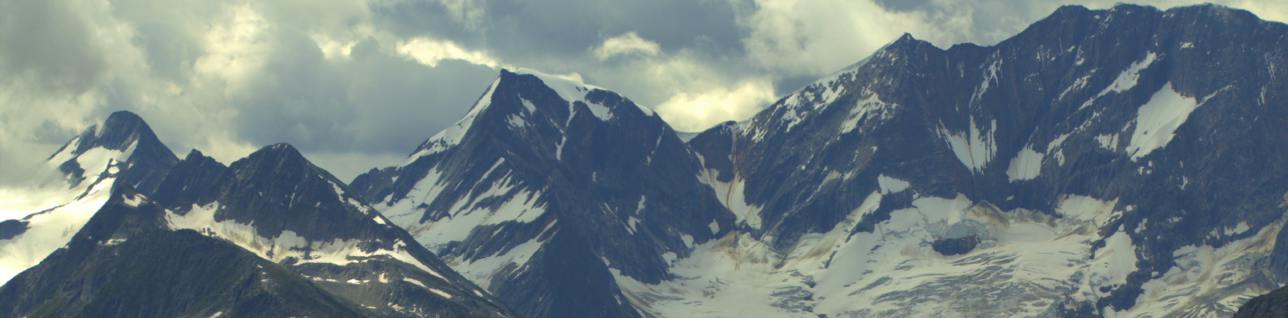
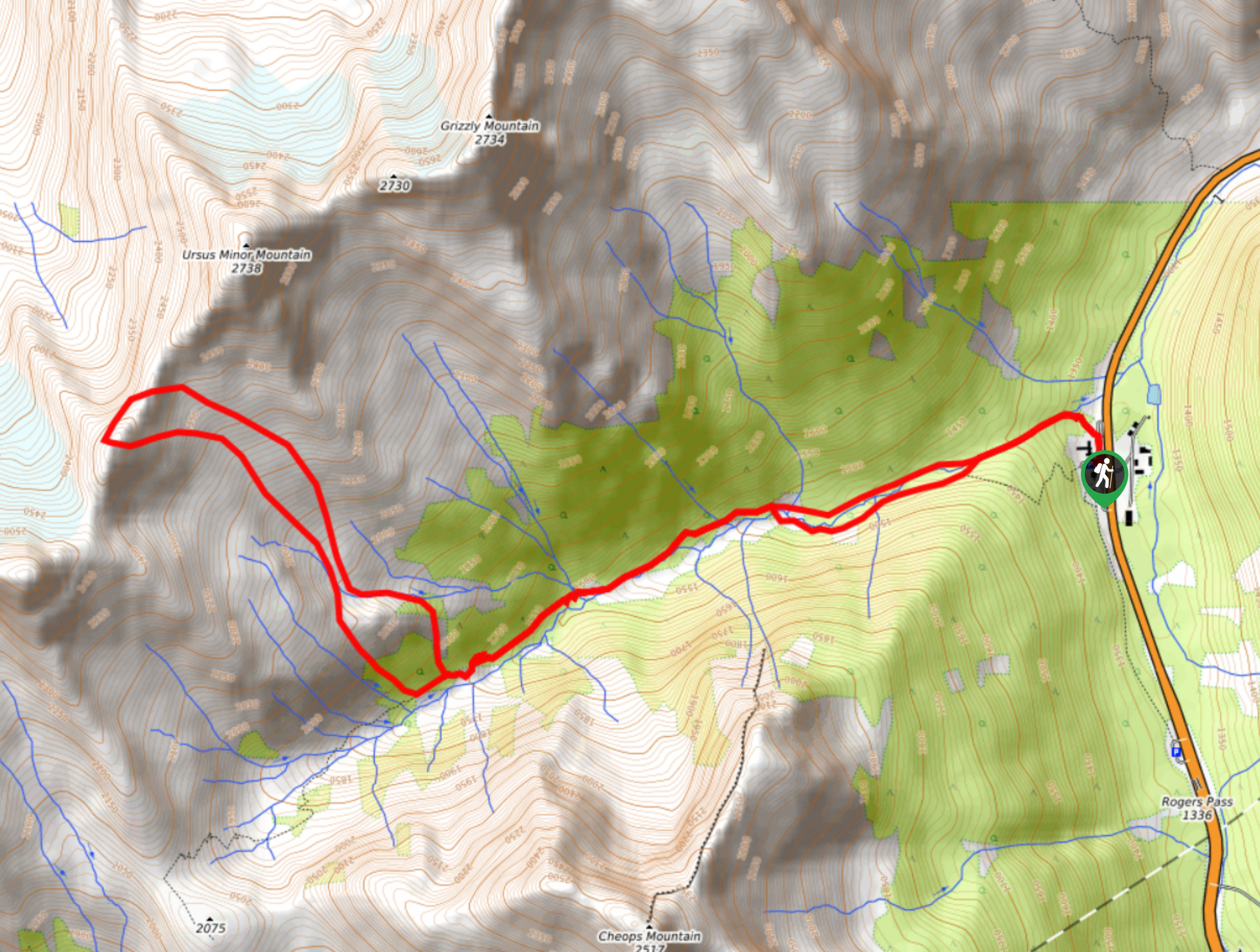
The Glacier Crest Trail is a 7.9mi out-and-back hiking route in Glacier National Park that offers awesome views over the rugged mountains and the nearby Illecillewaet Glacier. Hike up the steep incline and winding switchbacks along the trail to arrive at the pole marking the end of the trail, from which point a further 100m trek will bring you to an amazing vantage point over the glacier. This trail is both a great workout and an opportunity to experience some beautiful BC terrain.
Getting there
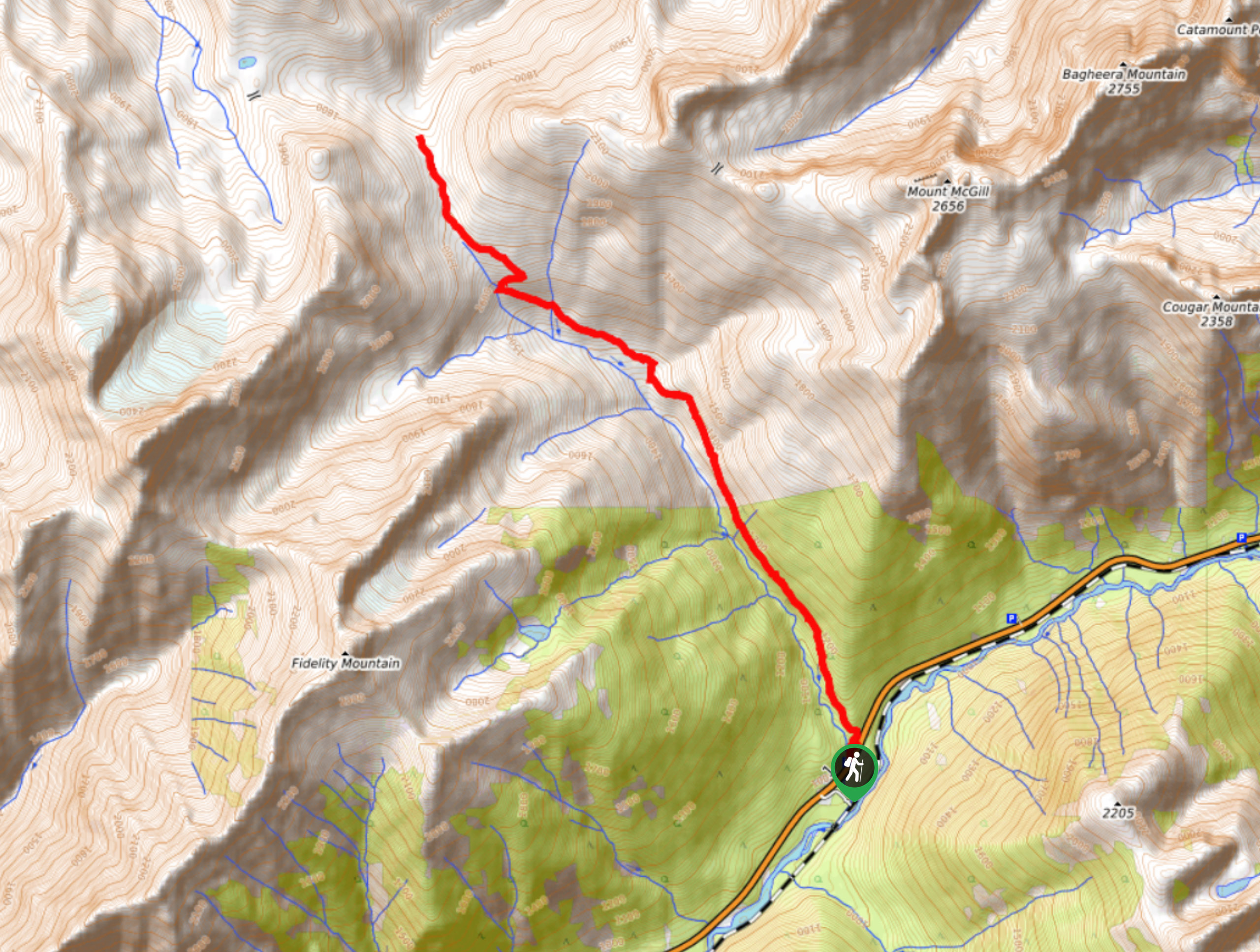
To get to the parking area for the Glacier Crest Trail from Revelstoke, drive east on BC-1 E for 37.3mi and utilize the roadside parking lot on your right, where you will find the trailhead. Alternatively, turn right 984ft past this parking area, where you will find parking at the Illecillewaet Campground. This alternate start point will take 0.6mi off the start of your hike.

About
| When to do | June-October |
| Backcountry Campsites | Illecillewaet Campground |
| Pets allowed | Yes - On Leash |
| Family friendly | No |
| Route Signage | Average |
| Crowd Levels | Moderate |
| Route Type | Out and back |
Glacier Crest Trail
Elevation Graph
Weather
Glacier Crest Trail Description
The Glacier Crest Trail is a popular hiking route in Glacier National Park that takes hikers on a steep uphill climb to experience amazingly scenic views that look out over the immense body of the Illecillewaet Glacier. With an elevation gain of 1114m, this 7.9mikm grind will lead you up a series of switchbacks before climbing up the steep scree to reach a crest overlooking the frosty glacier. Looking back across the valley, you will be able to see the Cheops and Grizzly Mountains on the other side of Highway 1, and to the northeast, you will find Mount Sir Donald. The Glacier Crest Trail may be difficult, but if you can find the energy to hike an extra 100m past the end-of-trail marker, you will be rewarded with some truly picturesque views.
Similar hikes to the Glacier Crest Trail hike
Hermit Trail
Hike along the Hermit Trail for a physically demanding but ultimately rewarding journey up to an alpine campsite in Glacier…
Video Peak Trail
The Video Peak Trail is a scenic 8.4mi hiking route in Glacier National Park that takes you through…
Bostock Creek Trail
The Bostock Creek Trail is a 9.5mi out-and-back hiking route that climbs uphill alongside the rushing waters of…
Comments