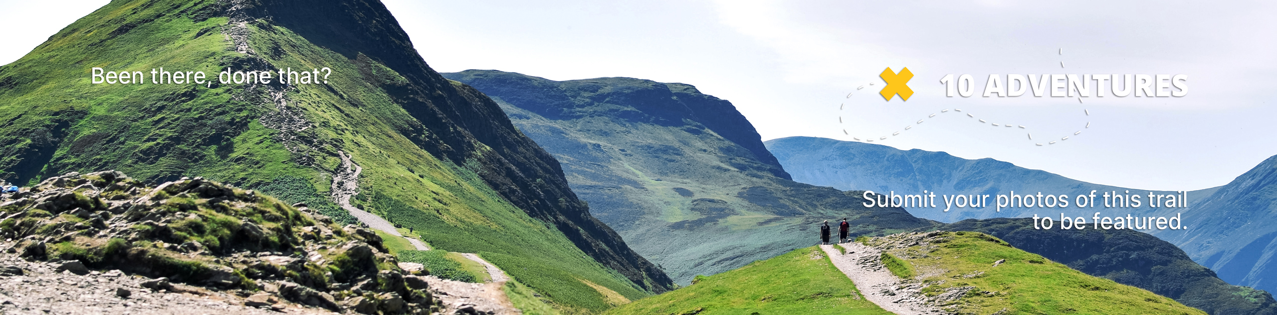
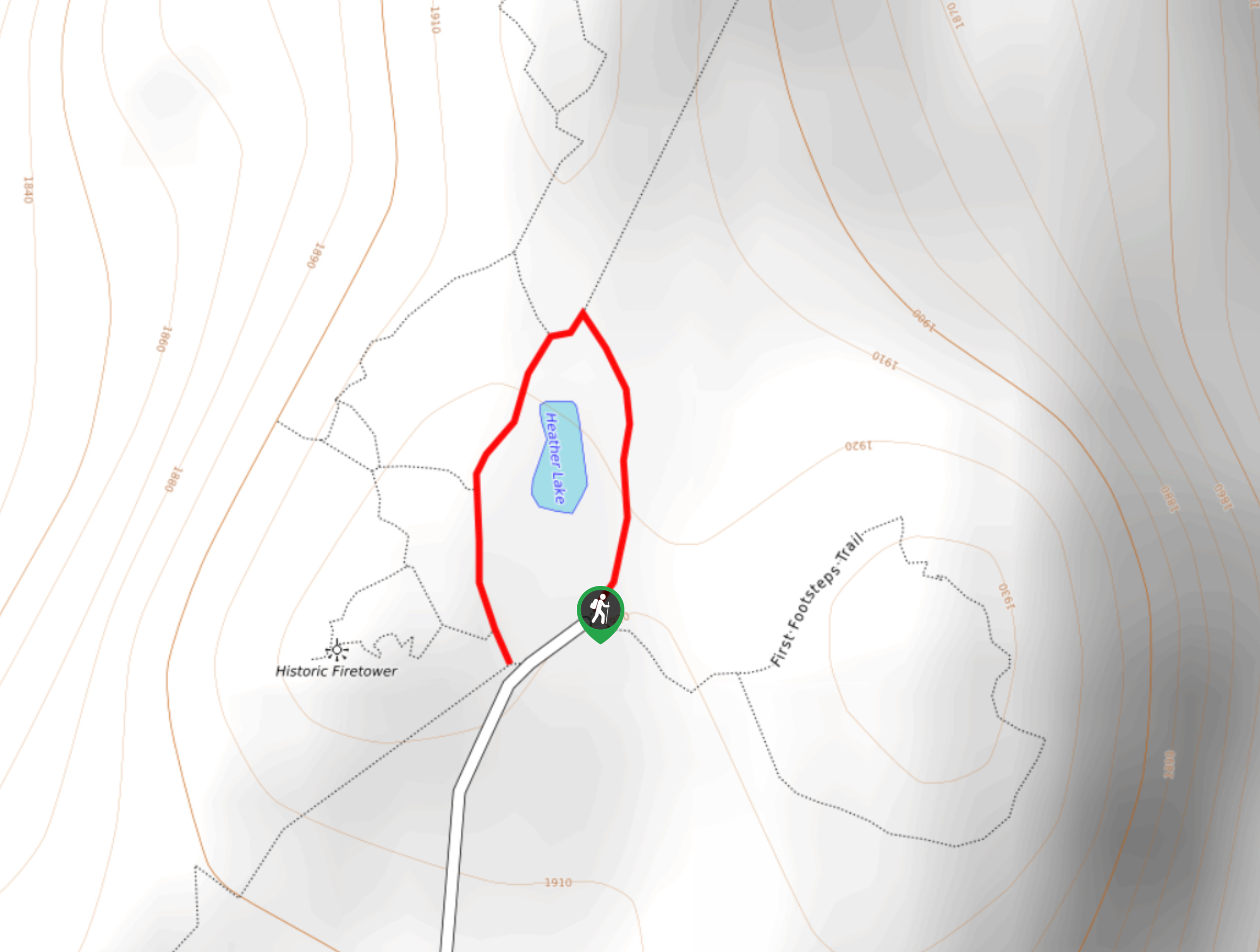
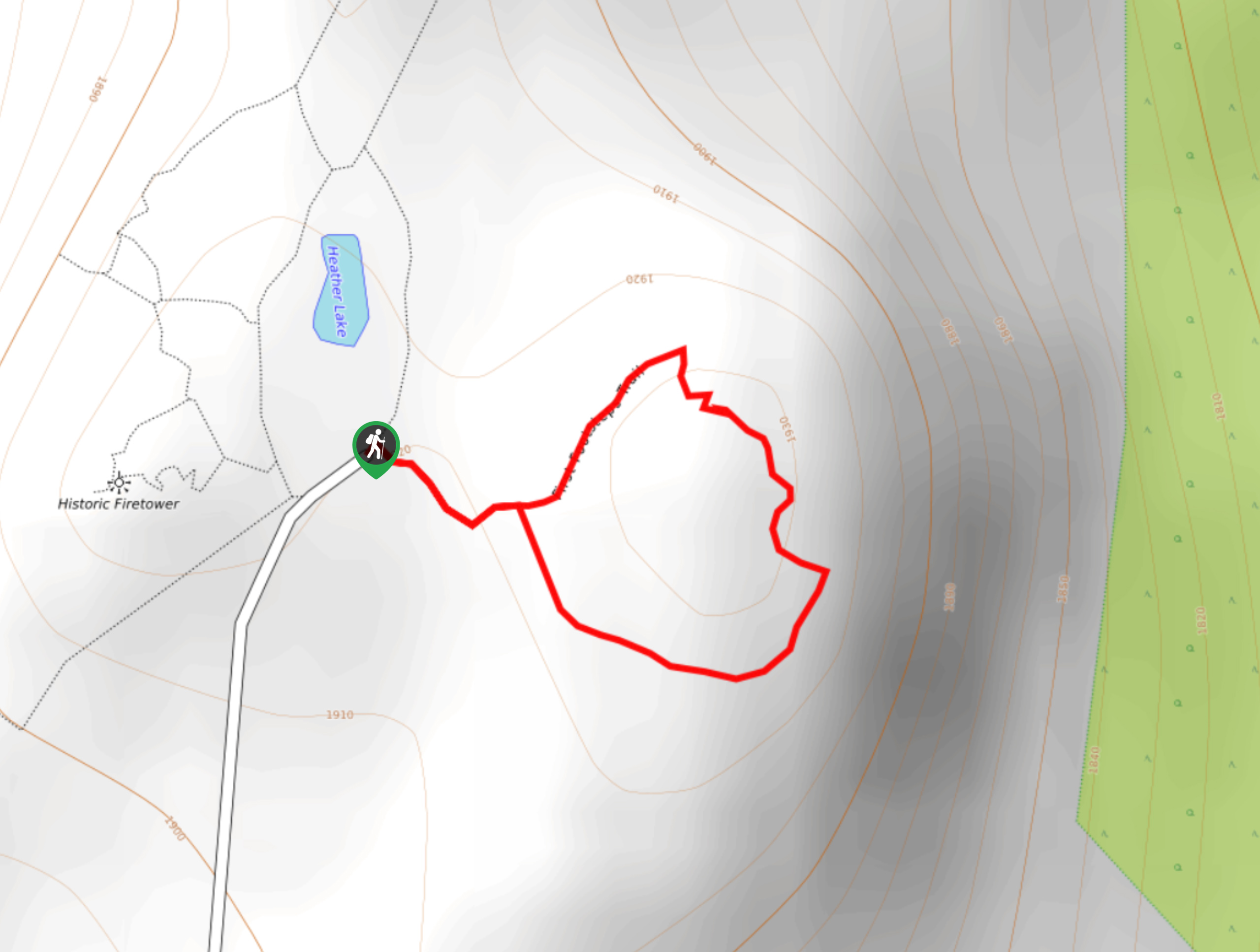
Heather Lake Loop
View Photos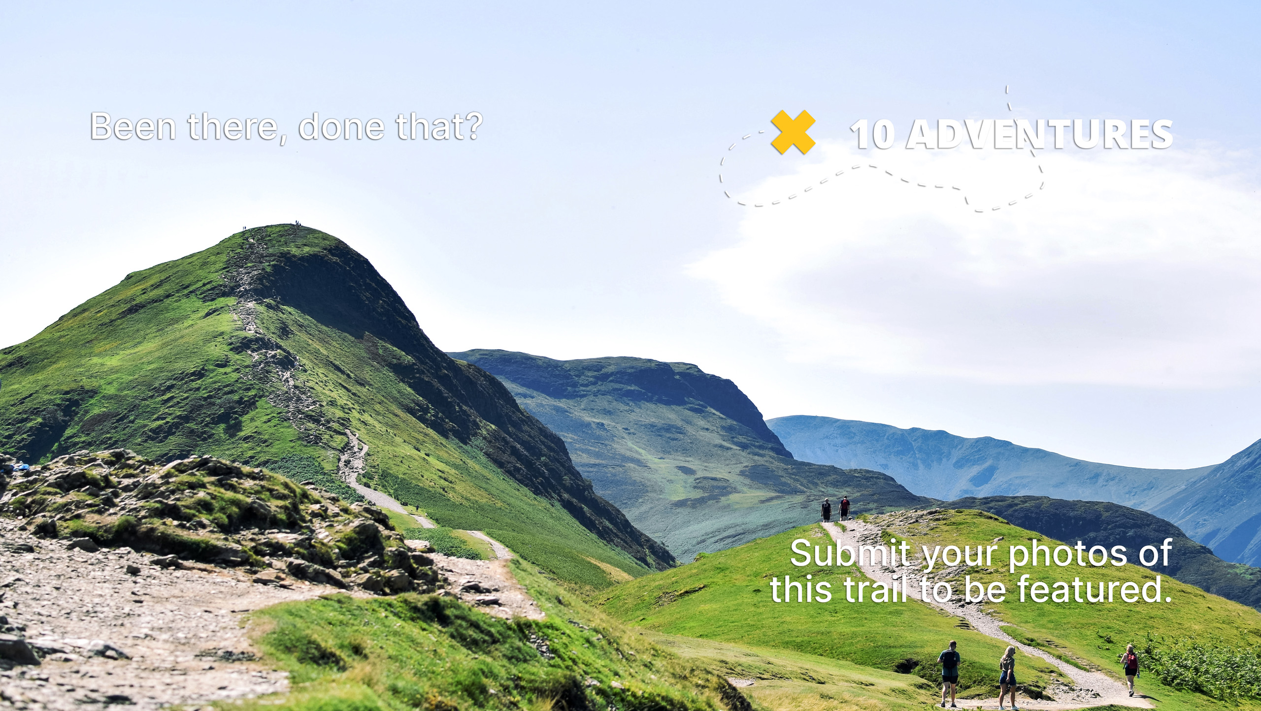
Heather Lake Loop
Difficulty Rating:
The Heather Lake Loop is a 0.2mi hiking trail at the summit of Mount Revelstoke that travels around the scenic shores of this small lake. Made up of extremely flat terrain, this trail is easily accessible for hikers of all skill levels. Along the short route, you will have some nice views over the water and a backdrop of mountains that make up the rugged landscape of the park.
Getting there
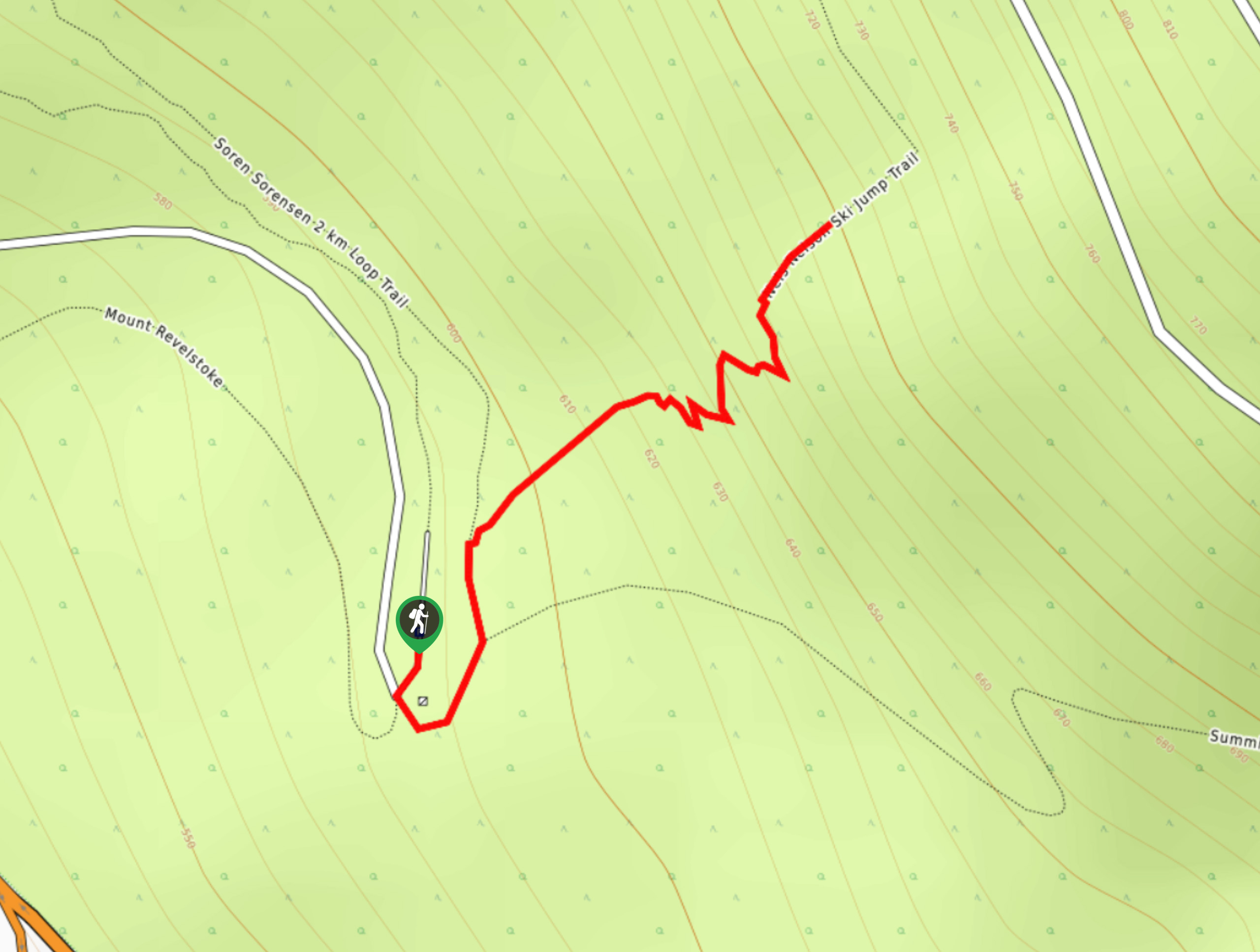
To get to the parking area for the Heather Lake Loop from the Trans Canada Highway in Revelstoke, take the exit for Mt. Revelstoke National Park and drive along the Meadows in the Sky Parkway for 15.3mi. Here, you will find the parking area next to Balsam Lake, from which you will need to hike to the summit in order to access the trailhead.

About
| When to do | May-October |
| Backcountry Campsites | No |
| Pets allowed | No |
| Family friendly | Yes |
| Route Signage | Average |
| Crowd Levels | Moderate |
| Route Type | Circuit |
Heather Lake Loop
Elevation Graph
Weather
Heather Lake Loop Description
Hiking along the Heather Lake Loop is an extremely quick and easy way to experience the natural beauty of Mount Revelstoke National Park. Hikers will first need to make their way uphill from the parking area to reach the trailhead, but once they do the remainder of the hike is a short stroll along some flat terrain at the lake’s edge. Take in the scenic views over this small mountain-top lake, while gazing out at the numerous mountain peaks in the surrounding area. This is a simple hike that the entire family will be able to enjoy, and the accessible terrain makes an ideal route for those with strollers or limited mobility.
Similar hikes to the Heather Lake Loop hike
Nels Nelson Trail
The Nels Nelson Trail is a 0.7mi hiking route on the lower slopes of Mount Revelstoke that climbs…
First Footsteps Trail
The First Footsteps Trail is a quick 0.5mi hiking route atop Mount Revelstoke that will allow hikers to…
Boulder Mountain Lookout
The Boulder Mountain Lookout is a quick 1.5mi out-and-back hiking route in Revelstoke that leads up to a…
Comments