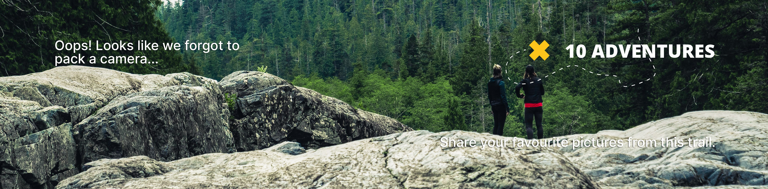
Thompson Creek Falls
View Photos
Thompson Creek Falls
Difficulty Rating:
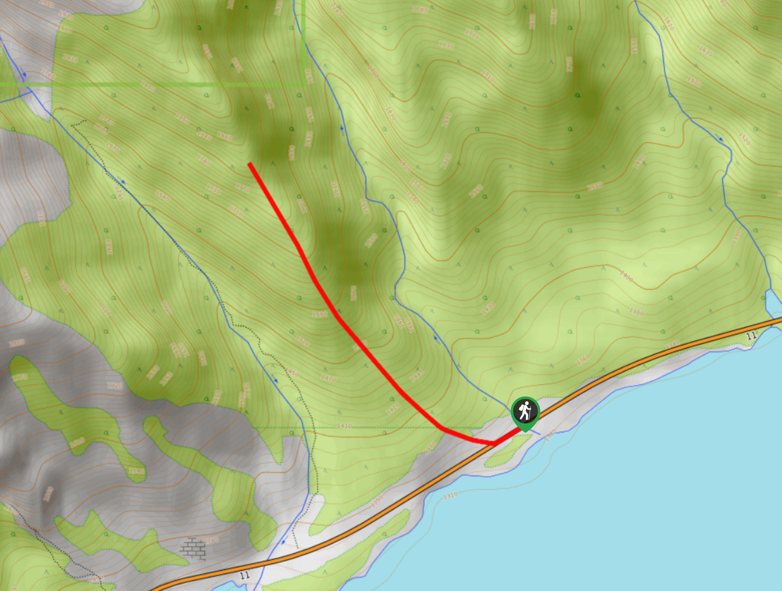
The Thompson Creek Falls Hike follows the Mount Cline route until reaching the stellar waterfalls. The trail follows Thompson Creek and is easy to follow to the destination. This is a beautiful trail for intermediate hikers hunting for waterfalls.
Getting there
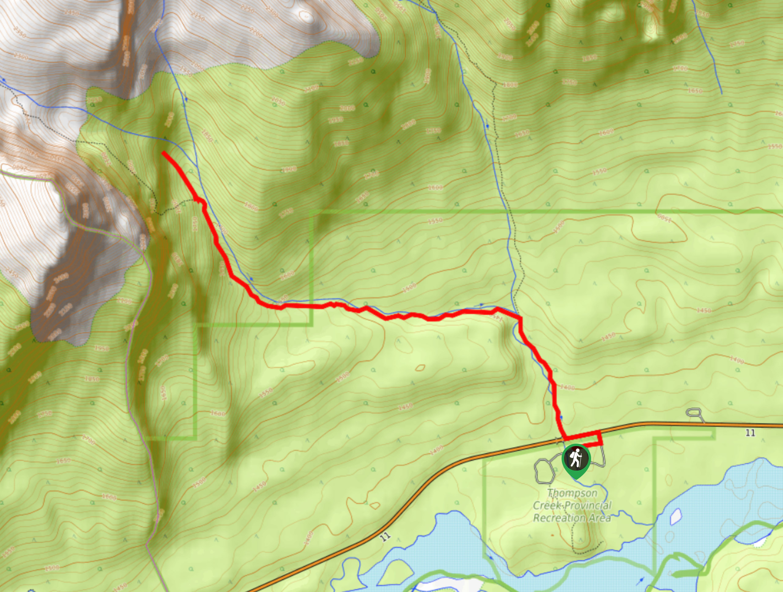
From the Saskatchewan River Crossing, join Highway 11 to reach Thompson Creek Falls. Travel eastbound for 5.6mi before turning right into the Thompson Creek Campground, where the trailhead is.

About
| When to do | May–September |
| Backcountry Campsites | No |
| Pets allowed | Yes - On Leash |
| Family friendly | Older Children only |
| Route Signage | Average |
| Crowd Levels | High |
| Route Type | Out and back |
Thompson Creek Falls
Elevation Graph
Weather
Thompson Creek Falls Trail Description:
The trail to Thompson Creek Falls leaves from the campground. From the creek that runs through the campground, cross the highway and begin following the creek upstream to the falls. This is also the Mount Cline route, so you may see some hikers that look like they are off for a big adventure. The trail follows the creek, crossing it a few times for the first 0.7mi before reaching a junction. Stay left here, and continue following the creek. Continue on the trail that runs beside the creek until you begin to hear the roar of the falls. Make your way to the falls and enjoy their stunning natural beauty before turning back.
Similar hikes to the Thompson Creek Falls hike
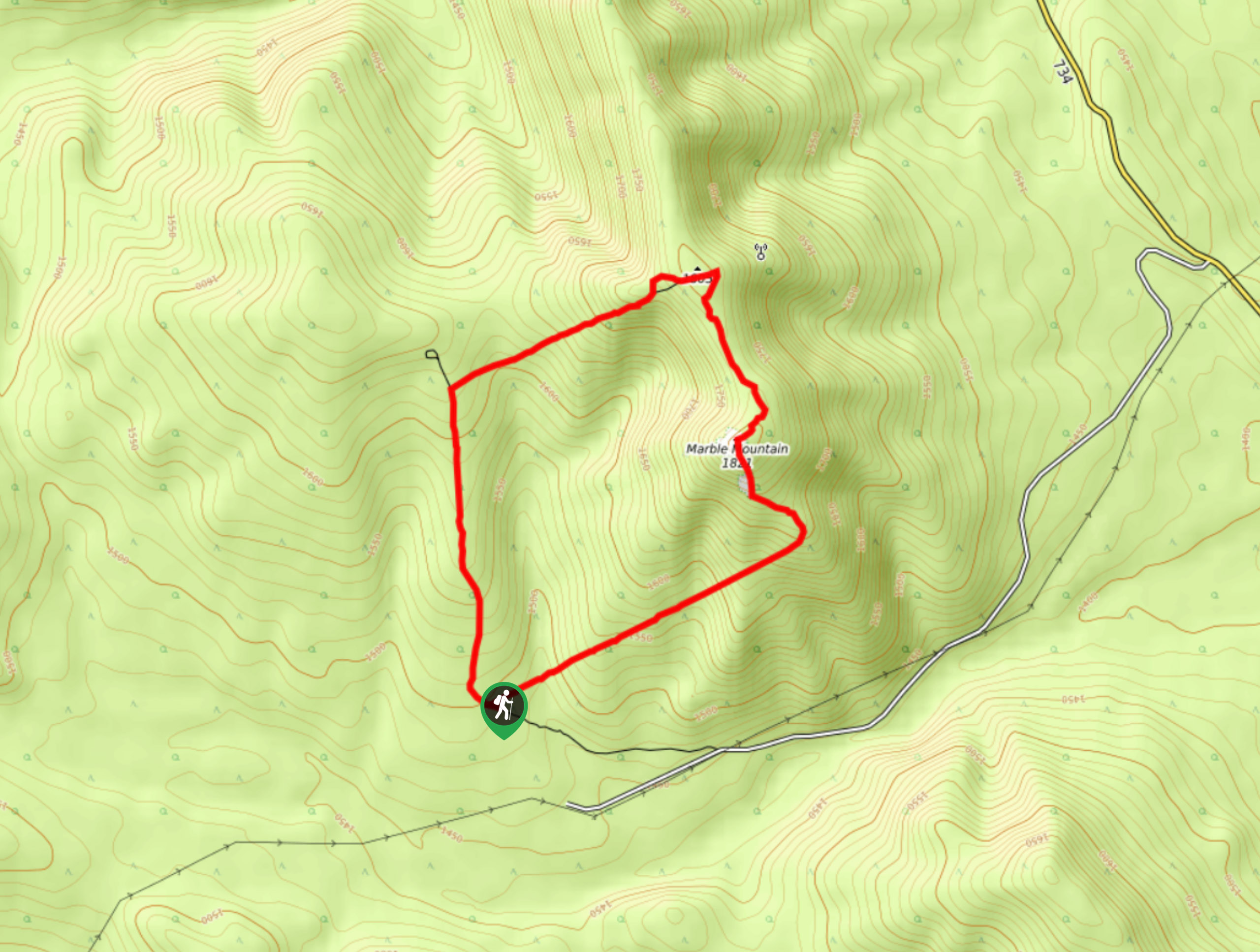
Marble Mountain Hike
Getting to the Marble Mountain trailhead can be tricky and out of the way, but this remote trail is sure…
Paula’s Ridge Hike
Paula’s Ridge Hike is just east of Mount Abraham and offers incredible views of Abraham Lake. If you are looking…
Kootenay Plains Heritage Trail
Take in some history on the Kootenay Plains Heritage Trail. The trail travels through the ecological preserve and passes by…
Comments