
Old Baseline Lookout
View Photos
Old Baseline Lookout
Difficulty Rating:
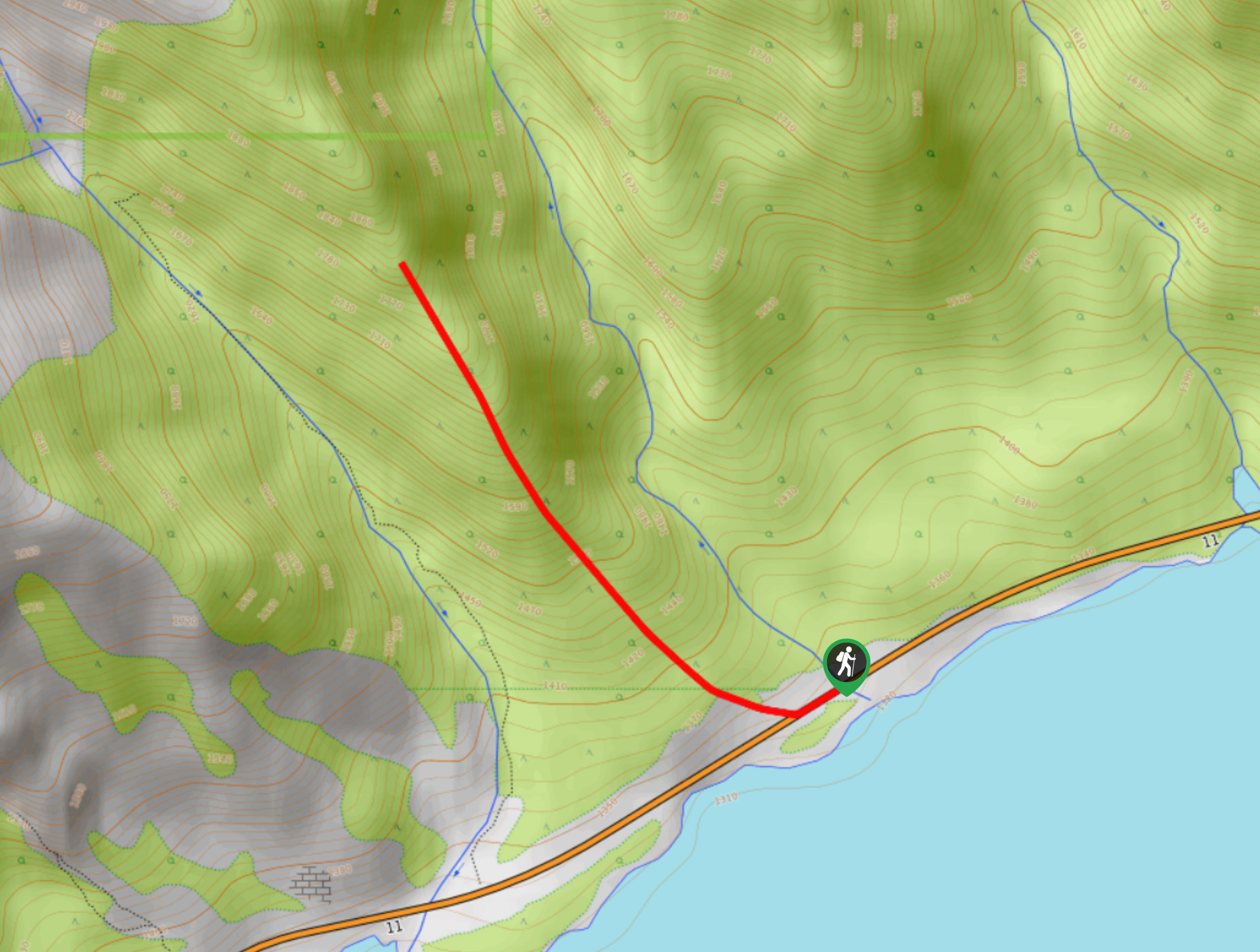
Getting to the Old Baseline Lookout can be the hardest part as it involves a dirt access road and poorly signed trails, but it’s all worth it when you get to the top and enjoy the small shelter. The fire lookout is no longer in use; however, it makes for a worthy destination, and the views are incredible.
Getting there
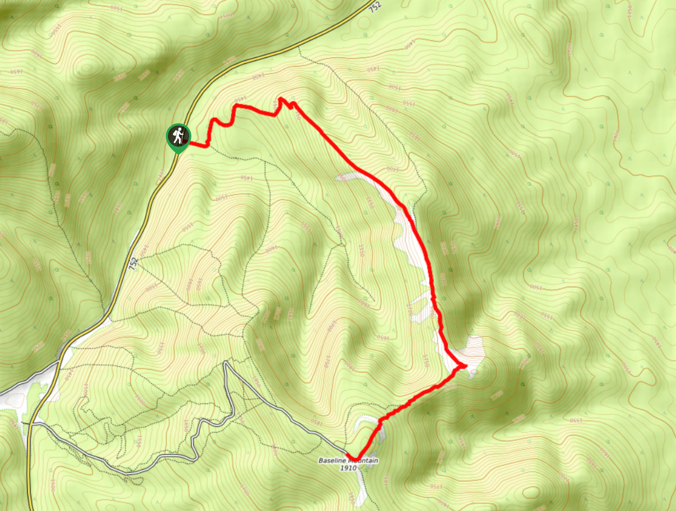
The Old Baseline Lookout Trail is most accessible from Rocky Mountain House. Join the AB-752 W for 33.6mi before turning left onto a dirt road. Travel 2.5mi along the dirt road before pulling over for the Baseline Lookout. You will be able to see the prominent structure on your approach, making the objective easier to locate.

About
| When to do | June–September |
| Backcountry Campsites | No |
| Pets allowed | Yes |
| Family friendly | Older Children only |
| Route Signage | Poor |
| Crowd Levels | Moderate |
| Route Type | Out and back |
Old Baseline Lookout
Elevation Graph
Weather
Old Baseline Lookout Trail Description:
Hiking the Old Baseline Lookout Trail requires knowledge of the route and a good sense of direction. You will see the tower from the road on your approach, so as long as you have your bearings, you can locate the lookout easily. Begin on an old decommissioned fire road, and make your way up towards the lookout tower. Once on the trail, you will have an easy time finding the top.
Similar hikes to the Old Baseline Lookout hike
Onion Lake Trail
Onion Lake is a secluded subalpine lake that makes for a long day hike. The 17.4mi trail is…
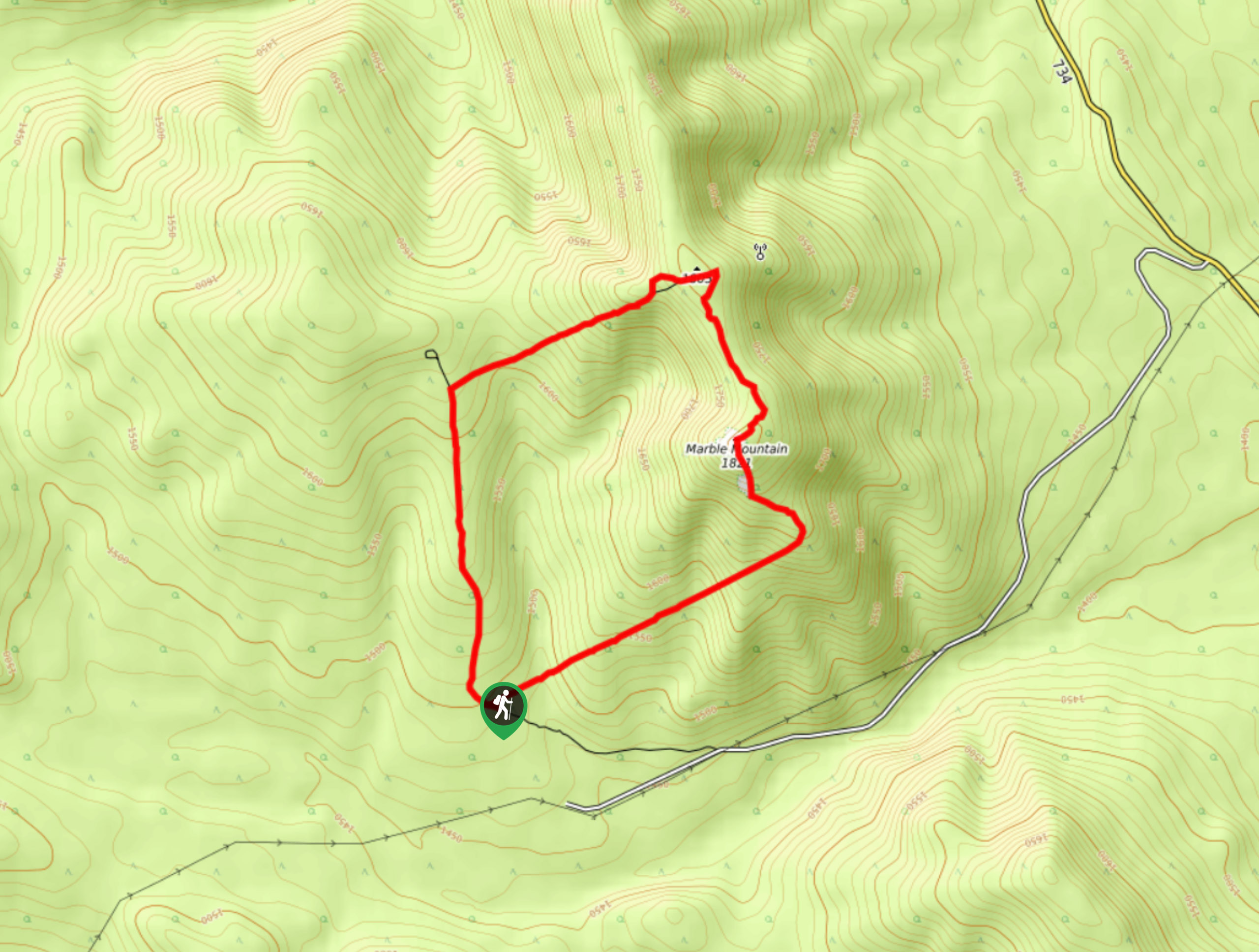
Marble Mountain Hike
Getting to the Marble Mountain trailhead can be tricky and out of the way, but this remote trail is sure…
Paula’s Ridge Hike
Paula’s Ridge Hike is just east of Mount Abraham and offers incredible views of Abraham Lake. If you are looking…
Comments