
Onion Lake Trail
View Photos
Onion Lake Trail
Difficulty Rating:
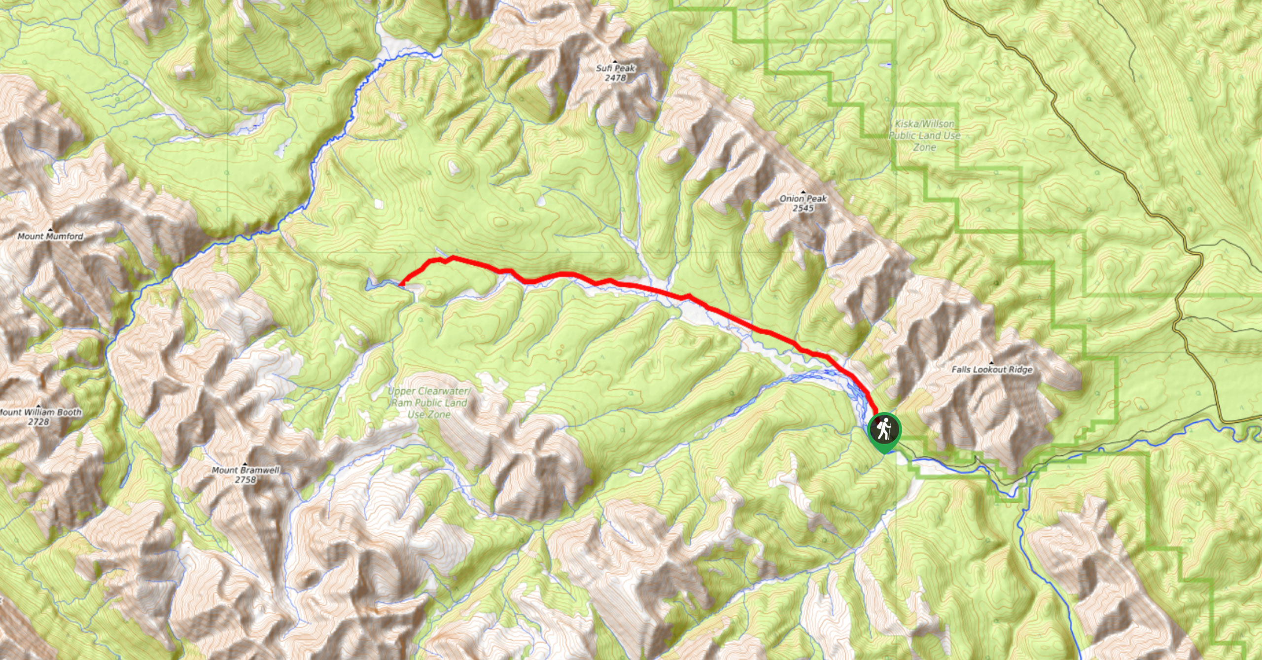
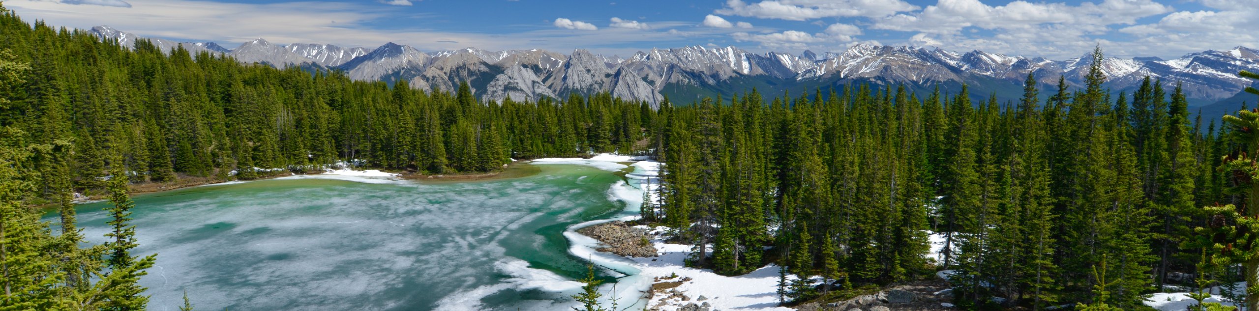
Onion Lake is a secluded subalpine lake that makes for a long day hike. The 17.4mi trail is easy to follow and passes many junctions. Some choose to camp along the way, but it’s also possible to complete in a day. Enjoy the spectacular views of the lake when you reach it.
Getting there
To reach the Onion Lake trailhead, head west on Highway 11 and turn left onto Forestry Trunk Rd/AB-40 S/AB-734 S for 36.4mi. Before the highway veers left around a bend, you’ll take a right onto Hummingbird Road and continue for 6.4mi. Park by the Hummingbird Campground and follow Hummingbird Road on foot until you see a trail for Onion Lake.

About
| When to do | May–September |
| Backcountry Campsites | Random camping, Hummingbird Creek |
| Pets allowed | Yes |
| Family friendly | No |
| Route Signage | Poor |
| Crowd Levels | Low |
| Route Type | Out and back |
Onion Lake Trail
Elevation Graph
Weather
Onion Lake Trail Description:
Hiking to Onion Lake is a long out-and-back that is well worth it. There are some random camping spots along the way and intersecting trail systems if you would like to spend a night out on this trail. The lake is stunning and located 14km from the trailhead. The path is easy to follow once you start, and you’ll be happy you chose this long route just for the views at the end.
Similar hikes to the Onion Lake Trail hike
Kinglet Lake Trail
Kinglet Lake is a beautiful destination in the heart of David Thompson Country. It’s an intermediate hike that requires some…
Hoodoo Creek
Hiking Hoodoo Creek is very straightforward, but be warned—it’s extremely steep. This trail heads straight up the face of Abraham…
Old Baseline Lookout
Getting to the Old Baseline Lookout can be the hardest part as it involves a dirt access road and poorly…
Comments