
White Goat Falls
View Photos
White Goat Falls
Difficulty Rating:
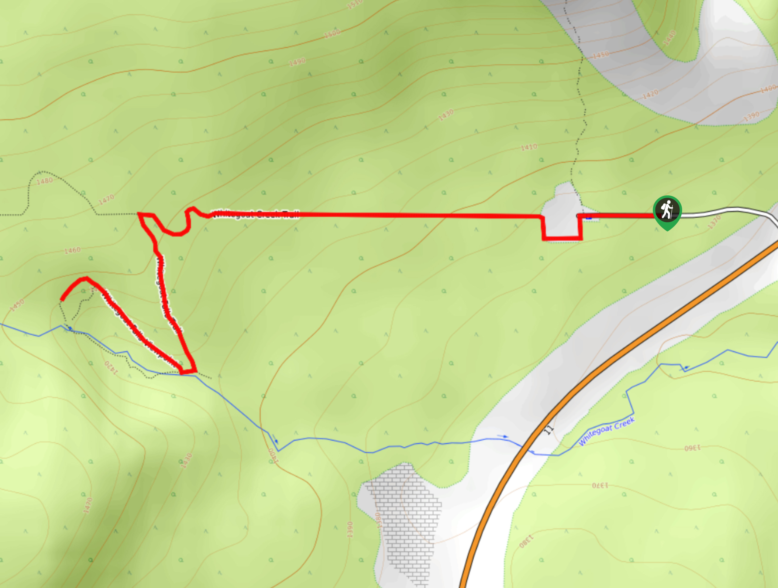
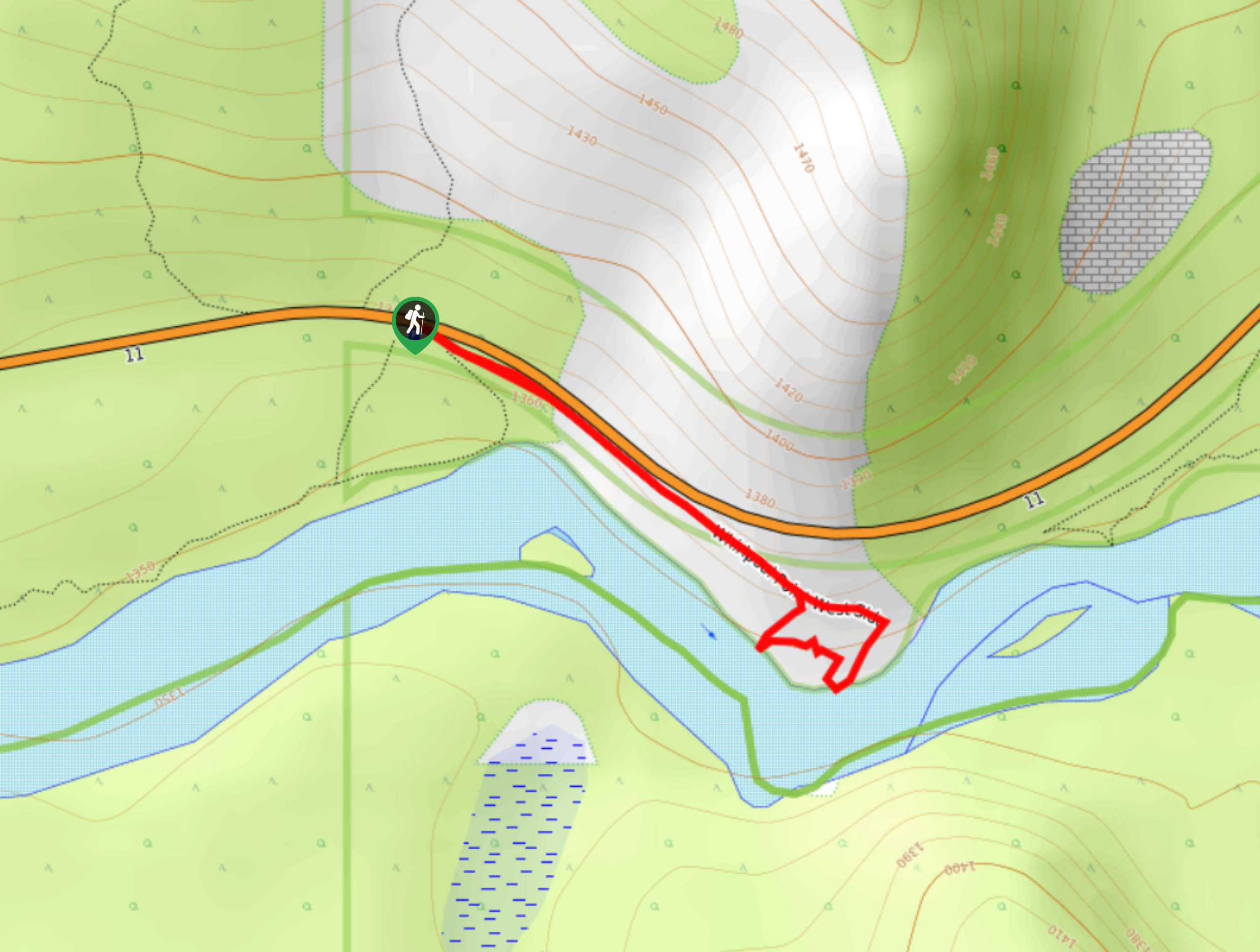
White Goat Falls is a beautiful hike that departs from the waste transfer station. The trail climbs up the creek above a canyon to the falls. This is an adventurous trail for something so short, which makes for an exciting outing. We recommend this for families with kids as it’s easy for all abilities yet thrilling at the same time.
Getting there
From Saskatchewan River Crossing, travel 26.1mi eastbound on Highway 11 and turn left on the road that leads to the waste transfer station. Park anywhere around the waste transfer station.

About
| When to do | May–October |
| Backcountry Campsites | No |
| Pets allowed | Yes |
| Family friendly | Yes |
| Route Signage | Poor |
| Crowd Levels | Moderate |
| Route Type | Out and back |
White Goat Falls
Elevation Graph
Weather
White Goat Falls Trail Description
From the waste transfer station, you can park anywhere and find the trail. Other trails that are vaguely signed leave from here, so pay particular attention. You will begin the hike by gaining steady elevation for the first kilometre before reaching a junction. The sign will direct you towards the falls along a canyon above the creek. Follow the canyon upstream to reach the falls.
The falls are an incredible natural feature that were created from erosion due to the creek. If you would like to be more adventurous, you can scramble down a slope from the viewpoint to reach the base of the falls. This is a more advanced section and not required to see the falls from a great vantage point.
Similar hikes to the White Goat Falls hike
Marble Mountain Hike
Getting to the Marble Mountain trailhead can be tricky and out of the way, but this remote trail is sure…
Paula’s Ridge Hike
Paula’s Ridge Hike is just east of Mount Abraham and offers incredible views of Abraham Lake. If you are looking…
Whirlpool Point
The hike to Whirlpool Point is a beautiful stroll up the North Saskatchewan River. The trail is close to Saskatchewan…
Comments