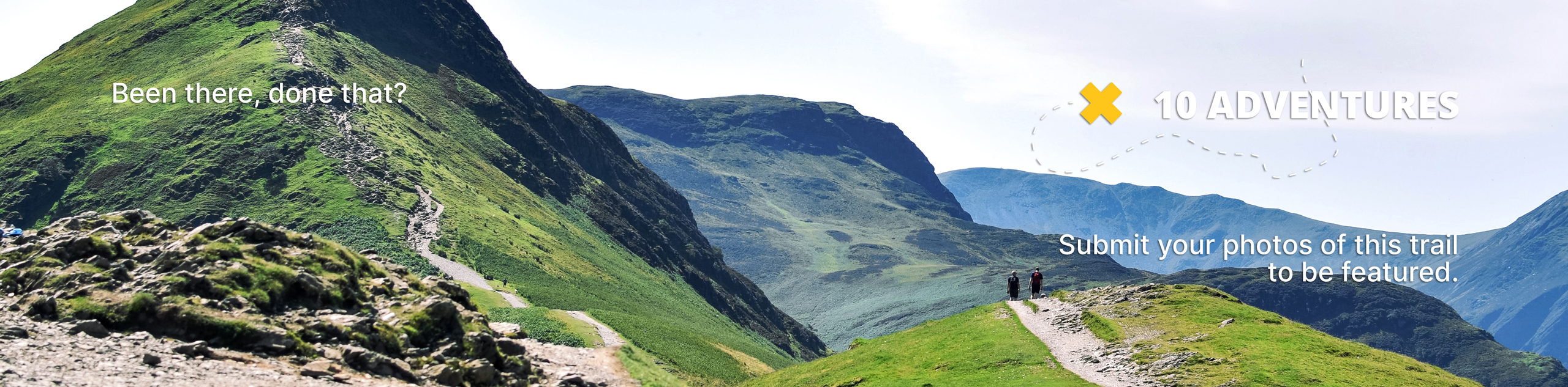
Flag Hill
View Photos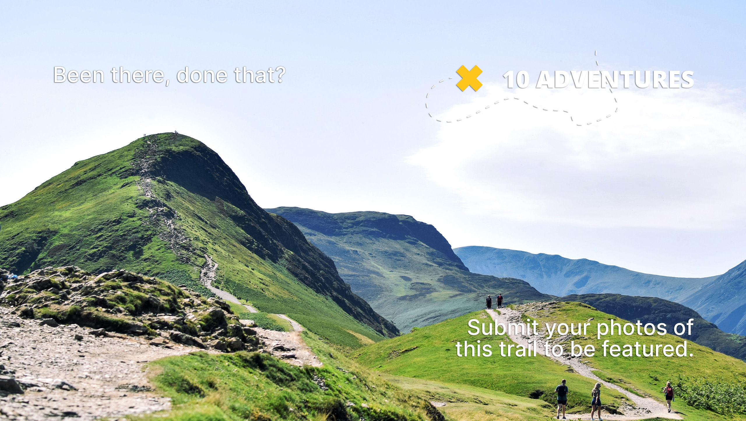
Flag Hill
Difficulty Rating:
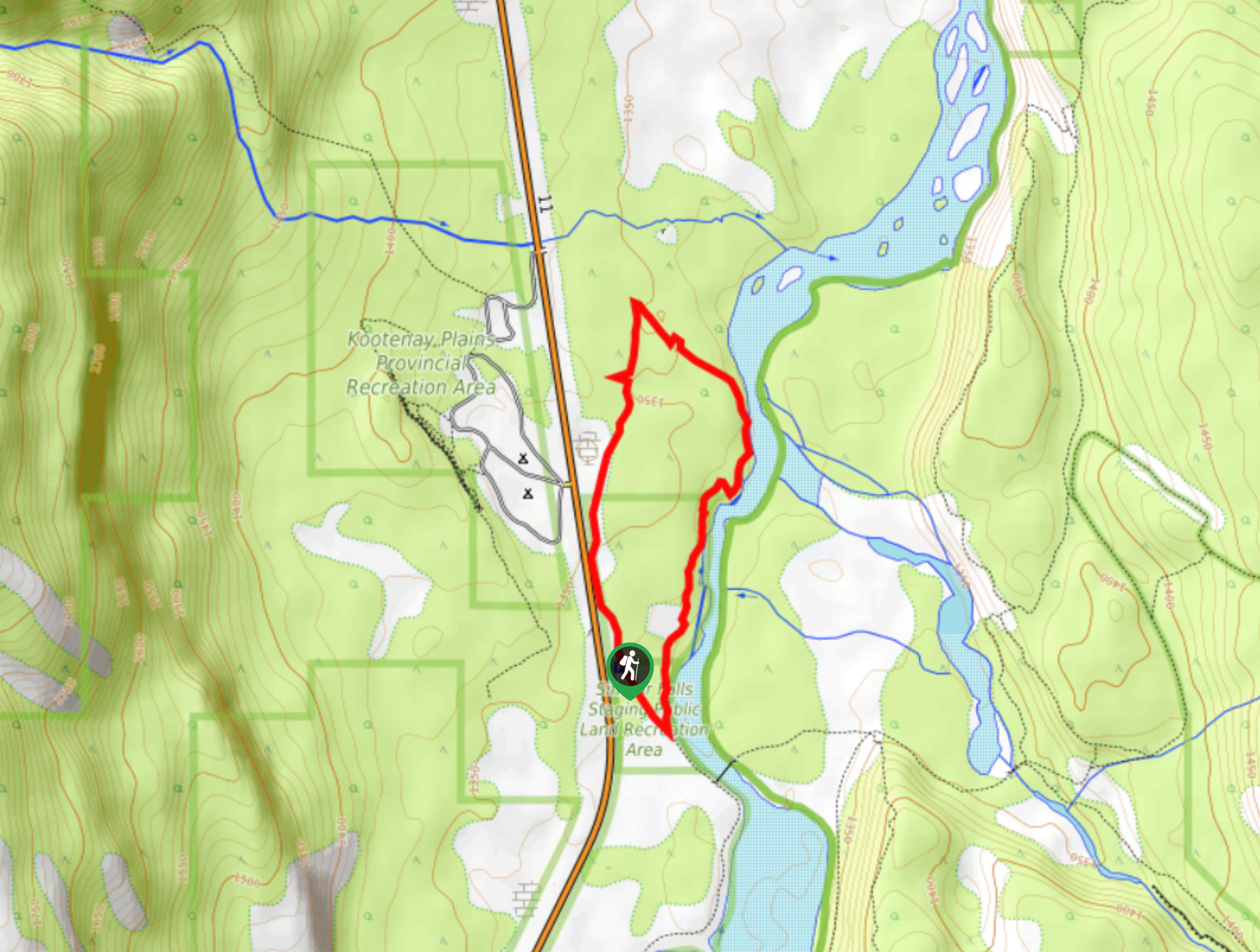
Flag Hill Trail is a rewarding hike that could be considered an easy stroll. This is an ideal place for a picnic or just a spot to stretch your legs. Once you locate the pullout area and flagged trailhead, the hike is straightforward and covers only 2625ft to the top. The endpoint has excellent views of Abraham Lake and sees less traffic than other viewpoints.
Getting there
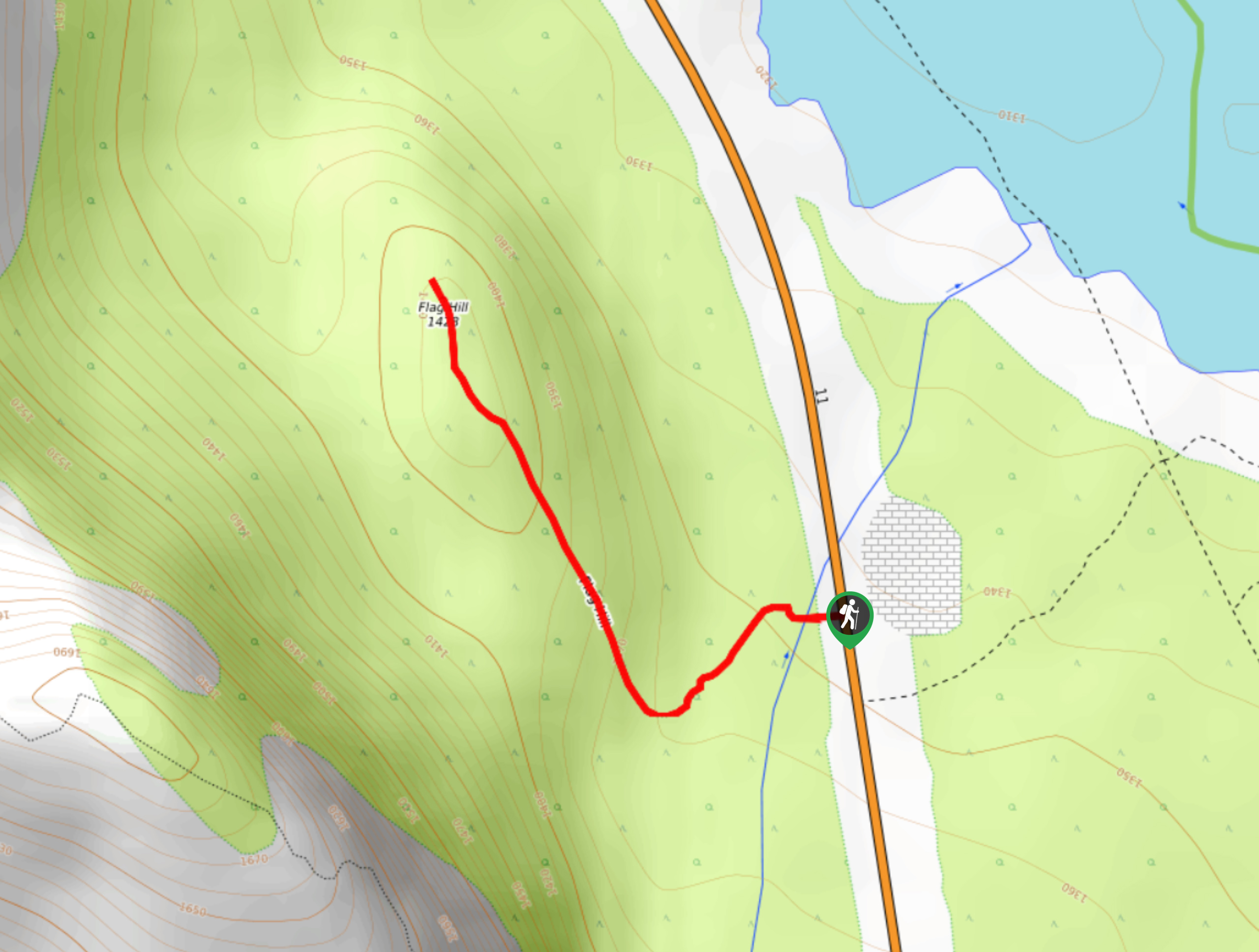
From Saskatchewan River Crossing, travel 19.3mi eastbound on Highway 11 and pullover along the road. Cross the highway to the north side and find cairns and flagging tape that mark the trailhead.

About
| When to do | May–October |
| Backcountry Campsites | No |
| Pets allowed | Yes |
| Family friendly | Yes |
| Route Signage | Poor |
| Crowd Levels | Moderate |
| Route Type | Out and back |
Flag Hill
Elevation Graph
Weather
Flag Hill Trail Description
The hike to Flag Hill is short, sweet, and offers excellent views south of Preacher’s Point. From the pullout on Highway 11, 19.3mi from Saskatchewan River Crossing, find the rock cairns and flagging tape on the side of the road. Begin your ascent on the marked path for 2625ft before reaching the large flag at the top of the hill. The views are great from the top, and this hike has a worthy reward for little effort. Don’t let the name fool you—it isn’t much of a hill.
Similar hikes to the Flag Hill hike
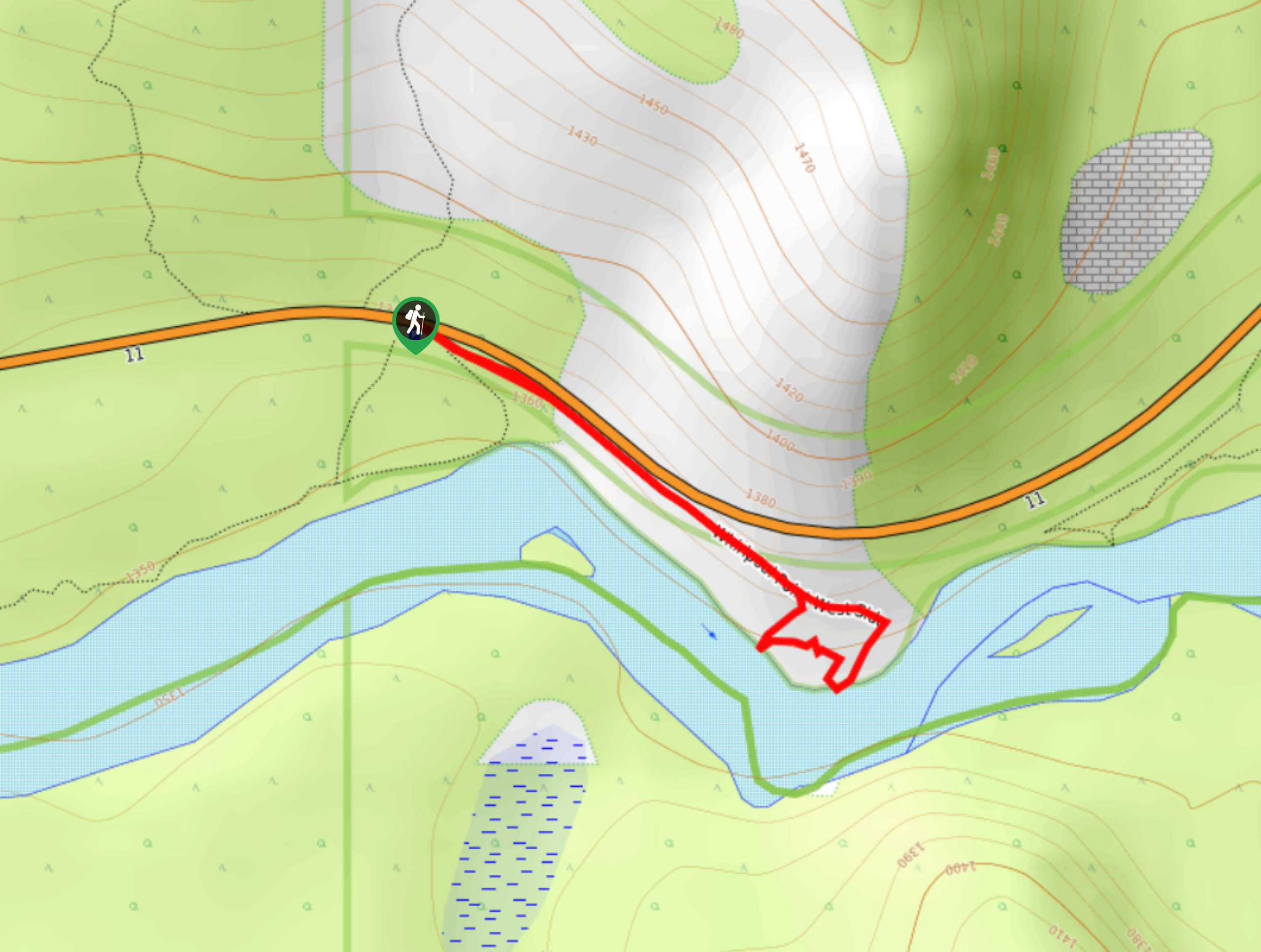
Whirlpool Point
The hike to Whirlpool Point is a beautiful stroll up the North Saskatchewan River. The trail is close to Saskatchewan…
Kootenay Plains Heritage Trail
Take in some history on the Kootenay Plains Heritage Trail. The trail travels through the ecological preserve and passes by…
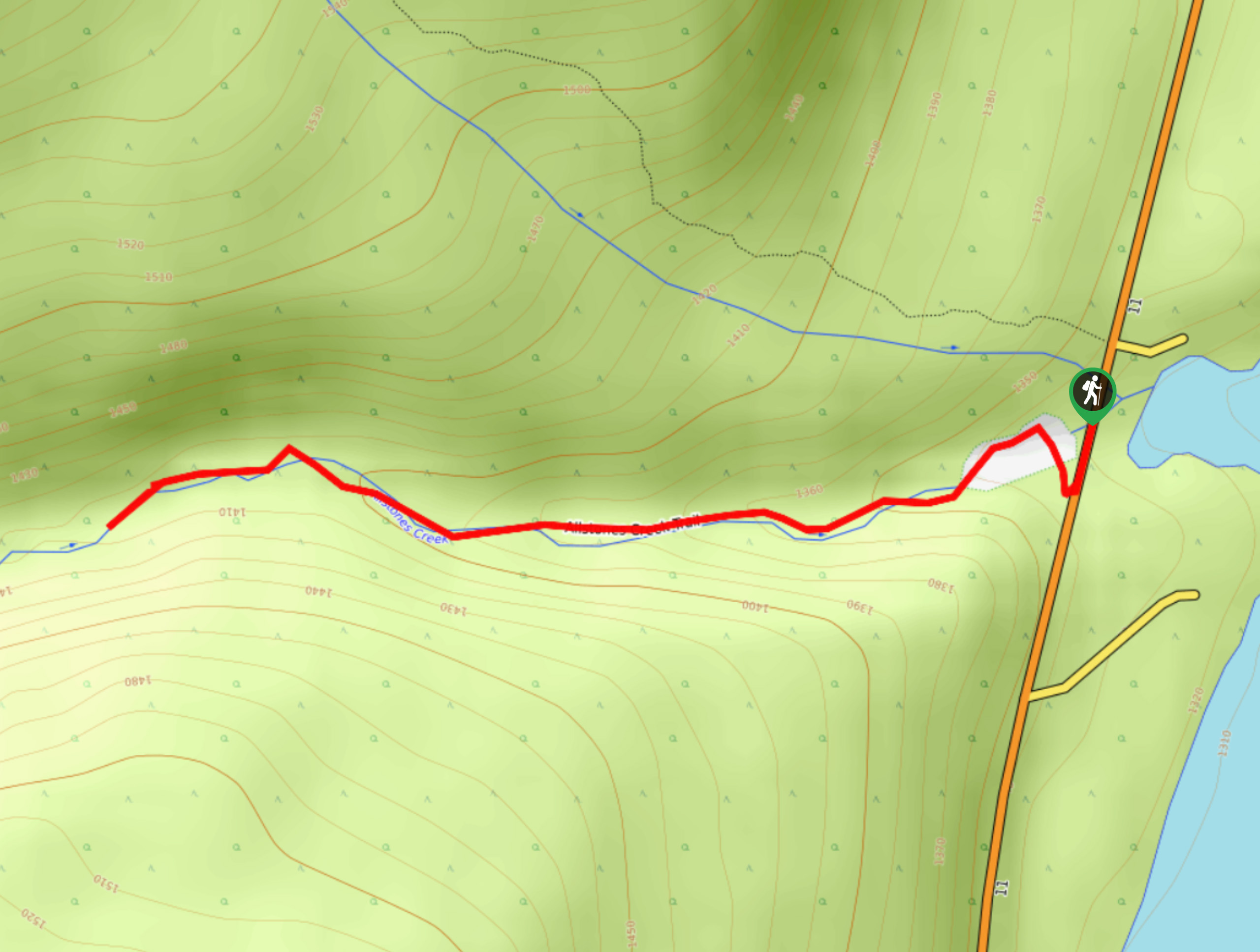
Allstones Creek Trail
Allstones Creek Trail is an out-and-back hike for all abilities. It’s flat, easy, and doesn’t cover much distance. If you…
Comments