
Coral Creek Canyon Trail
View Photos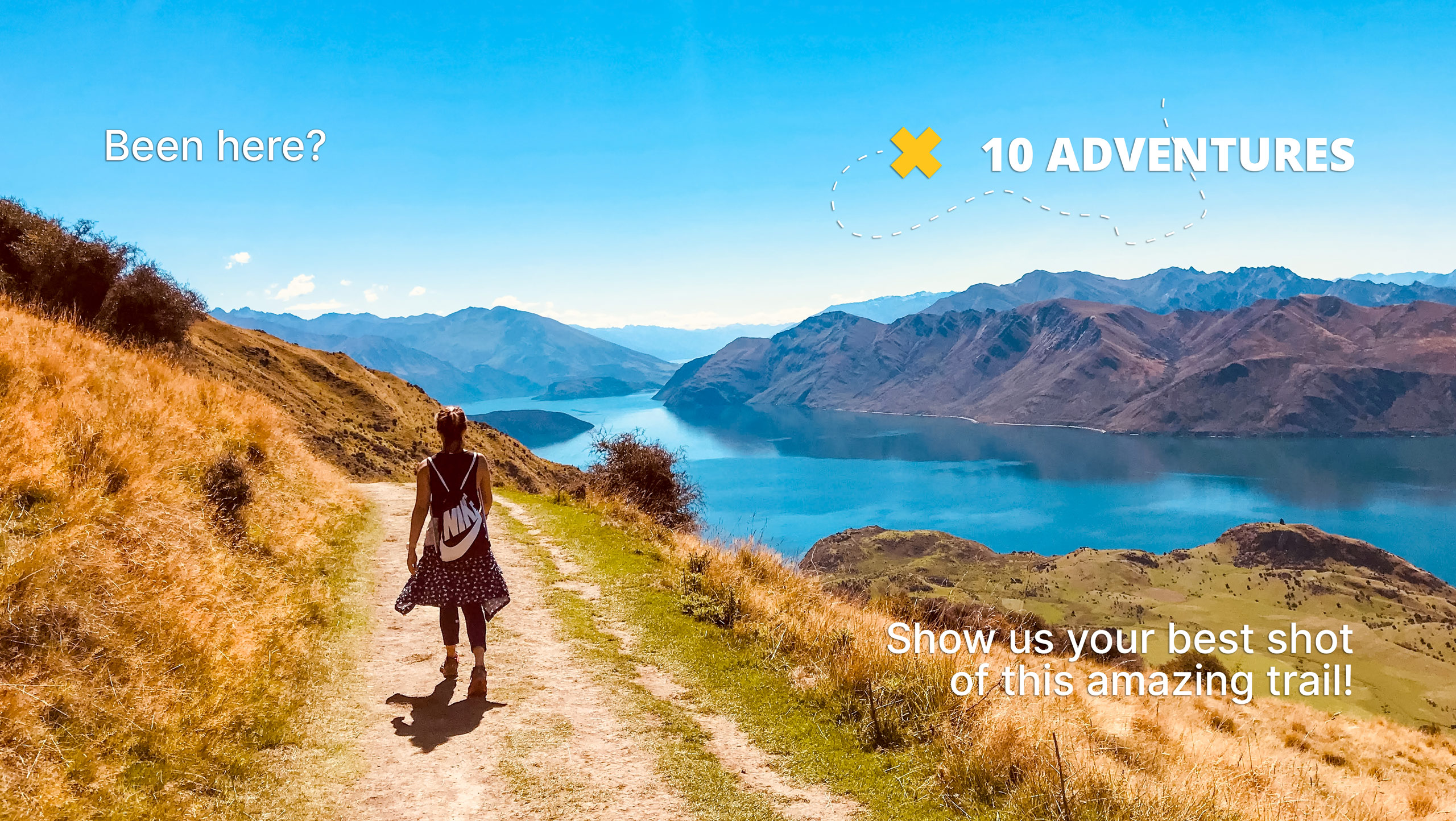
Coral Creek Canyon Trail
Difficulty Rating:
Hiking the Coral Creek Canyon Trail is a great way to spend a few hours when exploring the David Thompson Highway. The trail is part of a longer trail system that leads to some multi-day adventures. The trail is manageable for all abilities and filled with exciting features. Watch for wildflowers blooming along the way if you head here midsummer.
Getting there
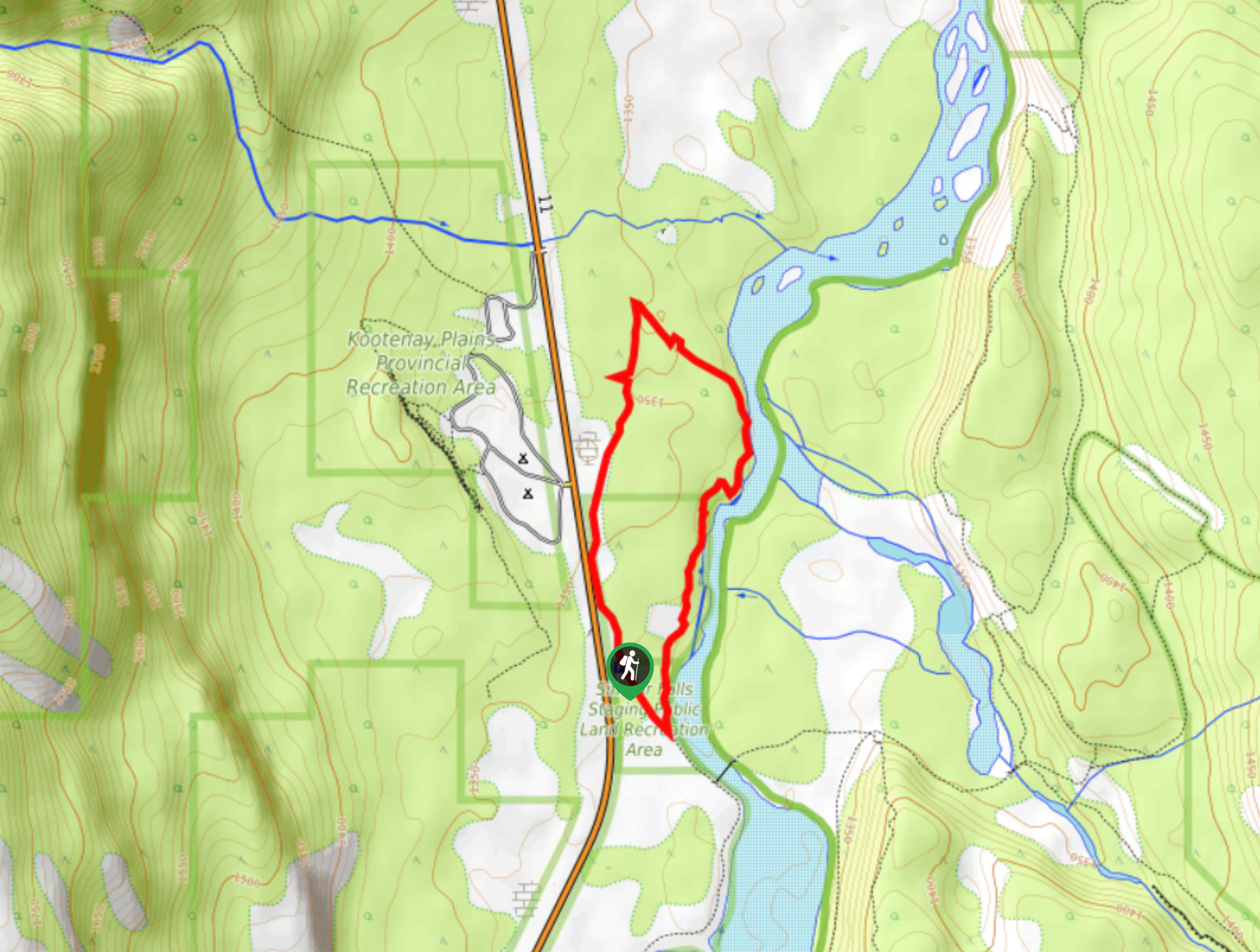
From the Saskatchewan River Crossing, travel eastbound on Highway 11 for 26.1mi to the Coral Creek staging area on the left. Pull into the short road and park at the end.

About
| When to do | May–September |
| Backcountry Campsites | No |
| Pets allowed | Yes |
| Family friendly | Yes |
| Route Signage | Average |
| Crowd Levels | Moderate |
| Route Type | Loop |
Coral Creek Canyon Trail
Elevation Graph
Weather
Coral Creek Trail Description
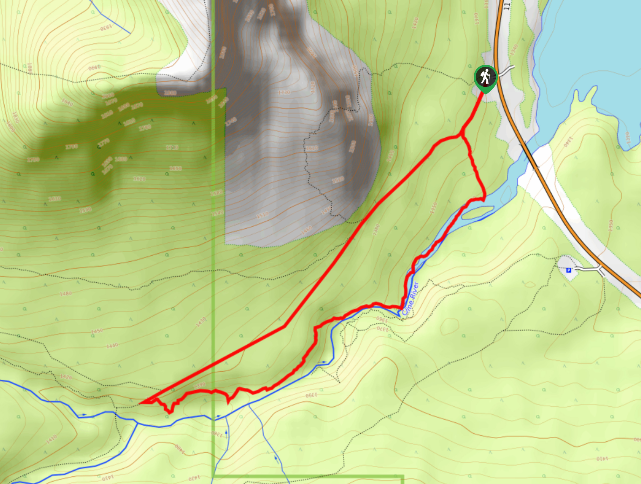
The Coral Creek Canyon Trail is a stunning way to explore the Abraham Lake area along the David Thompson Highway. The trail leaves from the Coral Creek staging area south of the Rockies Heli base. From the parking lot, follow the trail that leads up the right side of the Cline River. This area was significantly affected by the 2013 floods that swept through the Rockies, causing irreparable damage.
Follow the Cline River from the upper flanks of the canyon walls, admiring the contrasting colours. Continue upstream to the confluence with Coral Creek. After 1.3mi, there’s a small junction with a trail leading to the left. Take this trail to create your loop and begin heading downstream towards the highway and Abraham Lake.
Similar hikes to the Coral Creek Canyon Trail hike
Marble Mountain Hike
Getting to the Marble Mountain trailhead can be tricky and out of the way, but this remote trail is sure…
Paula’s Ridge Hike
Paula’s Ridge Hike is just east of Mount Abraham and offers incredible views of Abraham Lake. If you are looking…
Kootenay Plains Heritage Trail
Take in some history on the Kootenay Plains Heritage Trail. The trail travels through the ecological preserve and passes by…
Comments