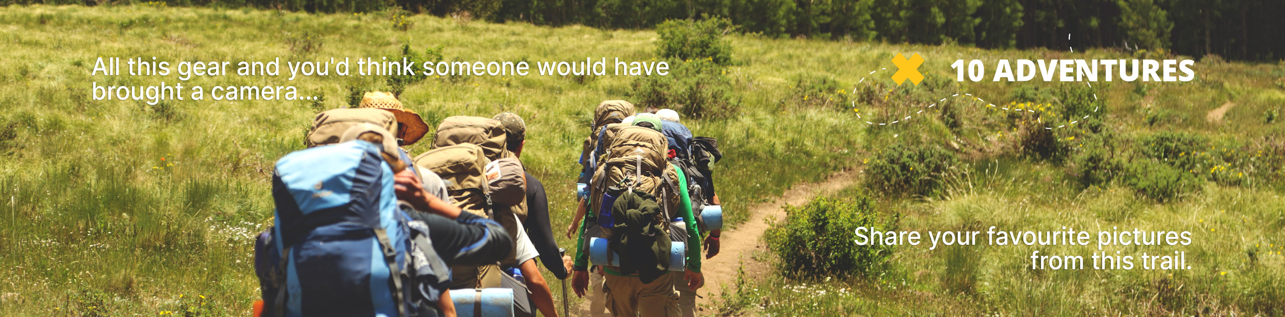
Tershishner Falls
View Photos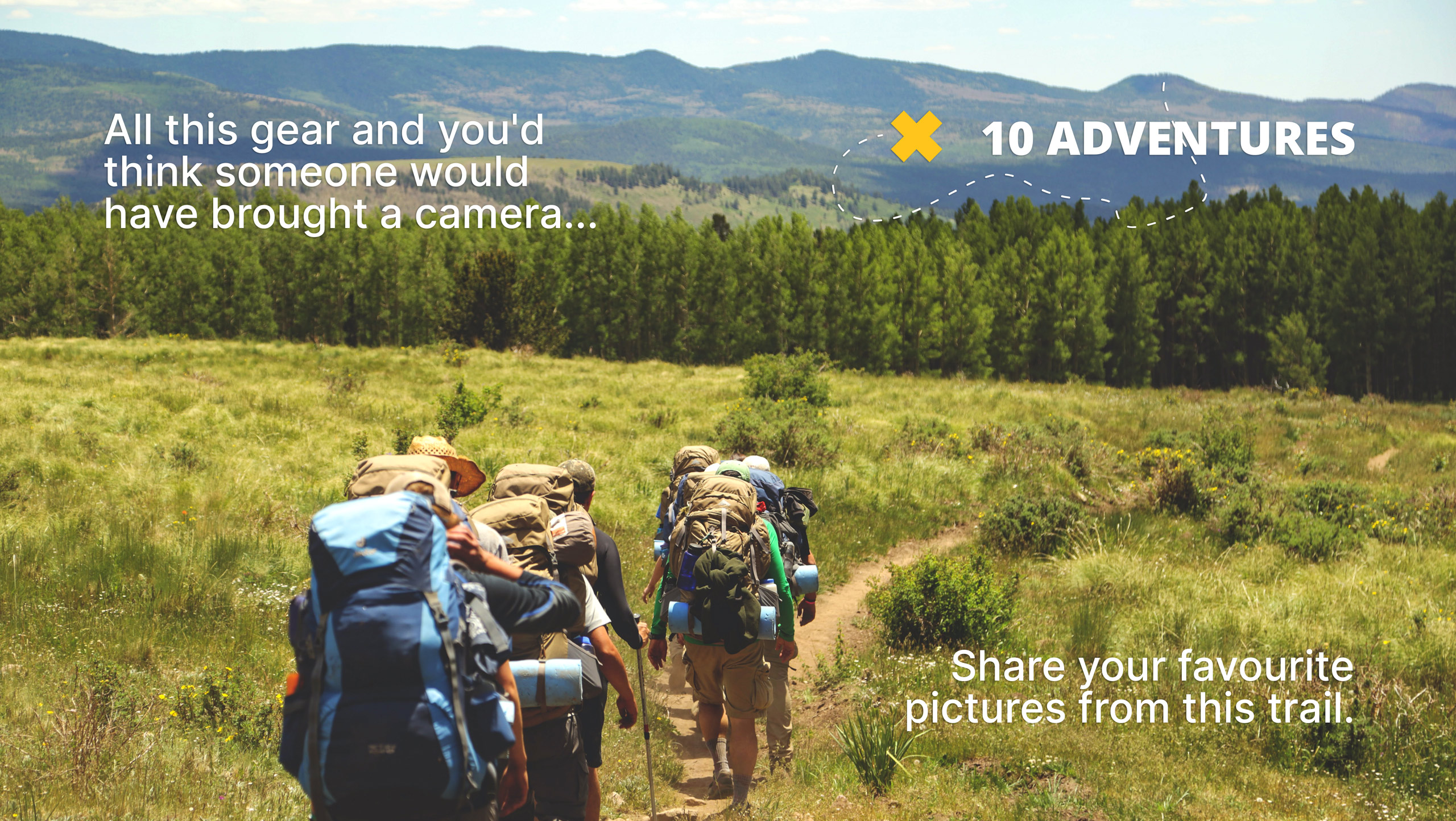
Tershishner Falls
Difficulty Rating:
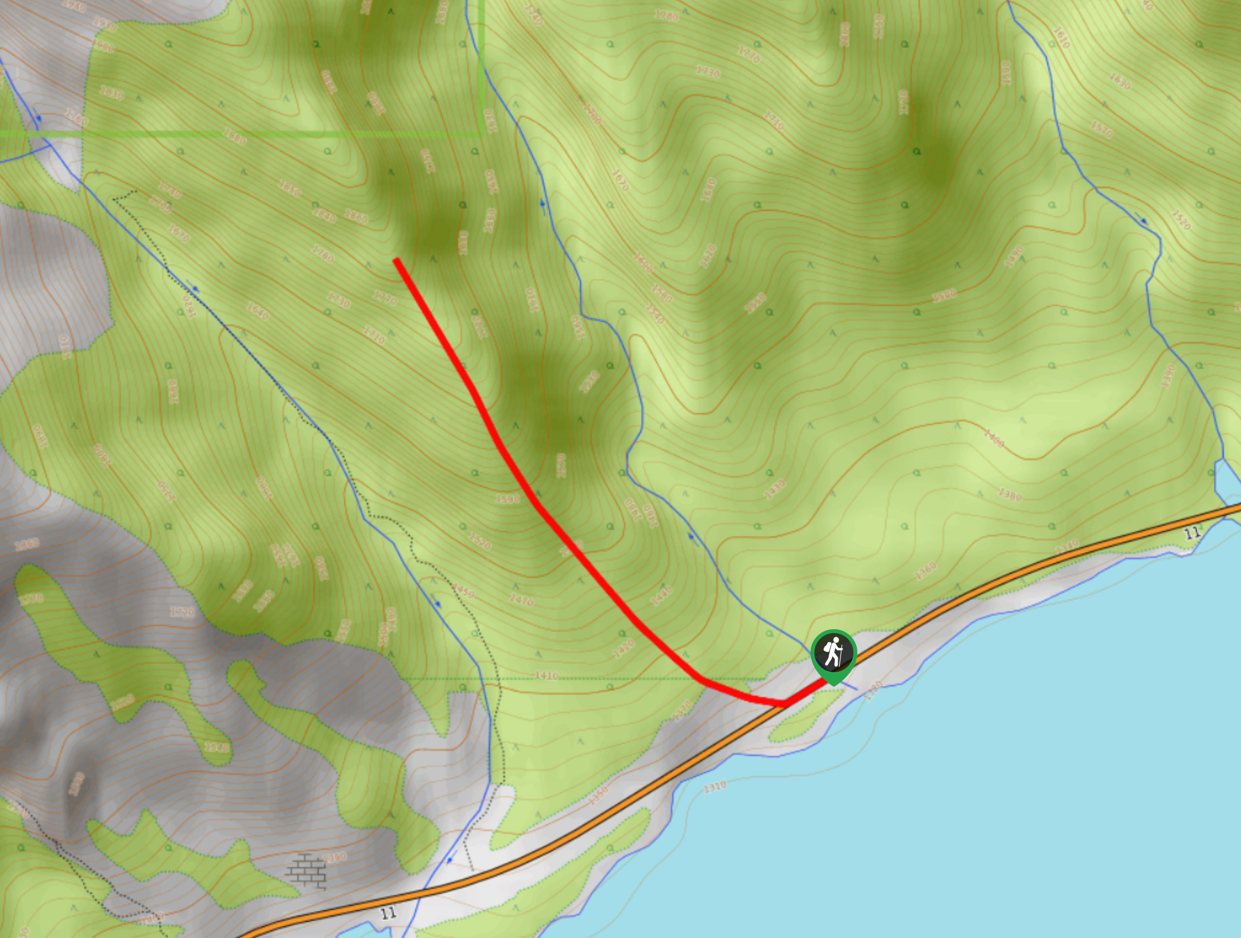
Hike along Tershishner Creek to the humbling Tershishner Falls. The short and easy trail is manageable for all and makes for an excellent stop to stretch the legs and do some sightseeing with the whole family. The trail is very close to the Abraham Lake campground, so this trail can get quite busy. It isn’t bothersome since it’s so short but be warned that this isn’t the quietest option along Highway 11.
Getting there
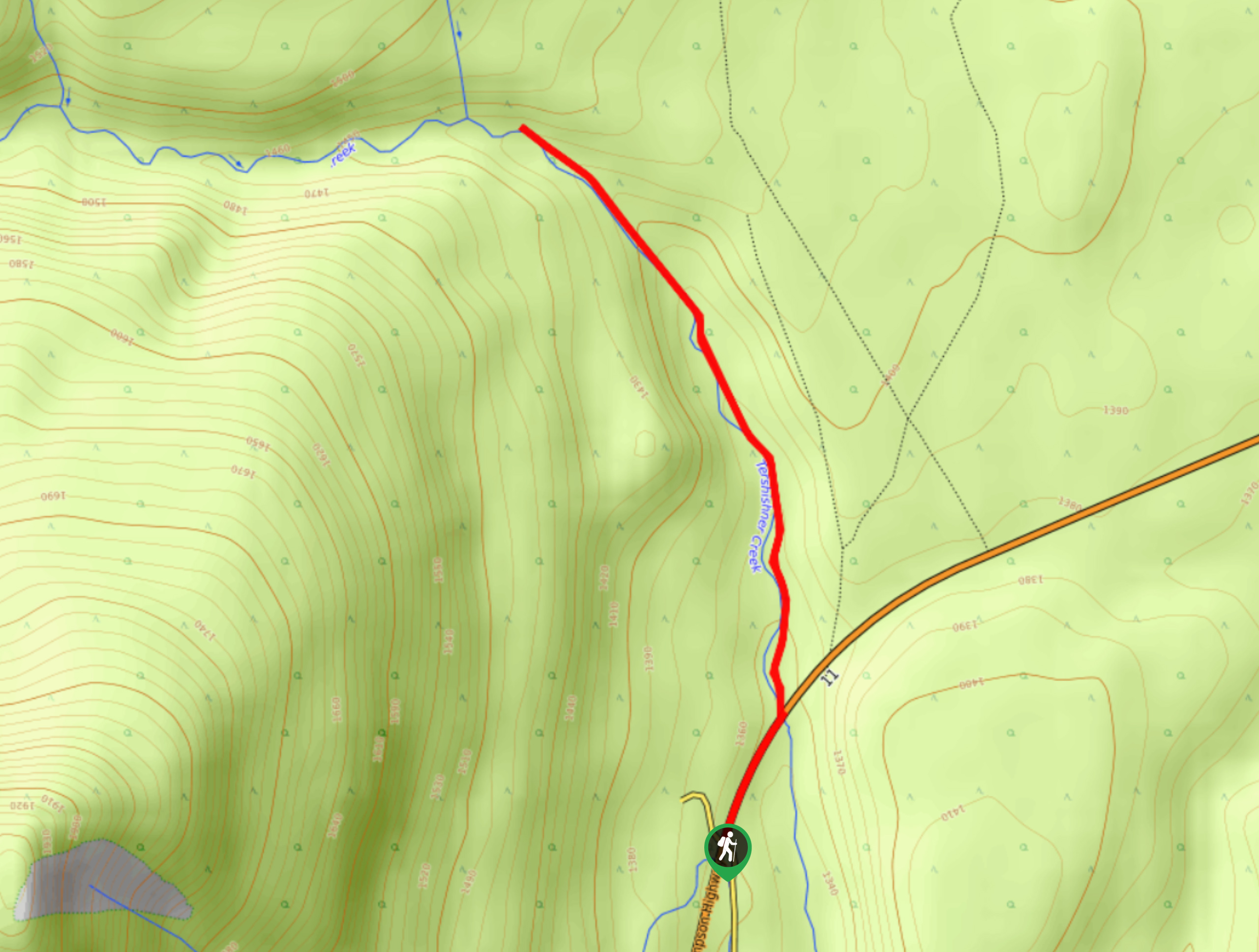
Travel westbound on Highway 11 from Nordegg for 85ft before turning right onto the Tershishner Falls trailhead road.

About
| When to do | May–September |
| Backcountry Campsites | No |
| Pets allowed | Yes |
| Family friendly | Yes |
| Route Signage | Average |
| Crowd Levels | High |
| Route Type | Out and back |
Tershishner Falls
Elevation Graph
Weather
Tershishner Falls Trail Description
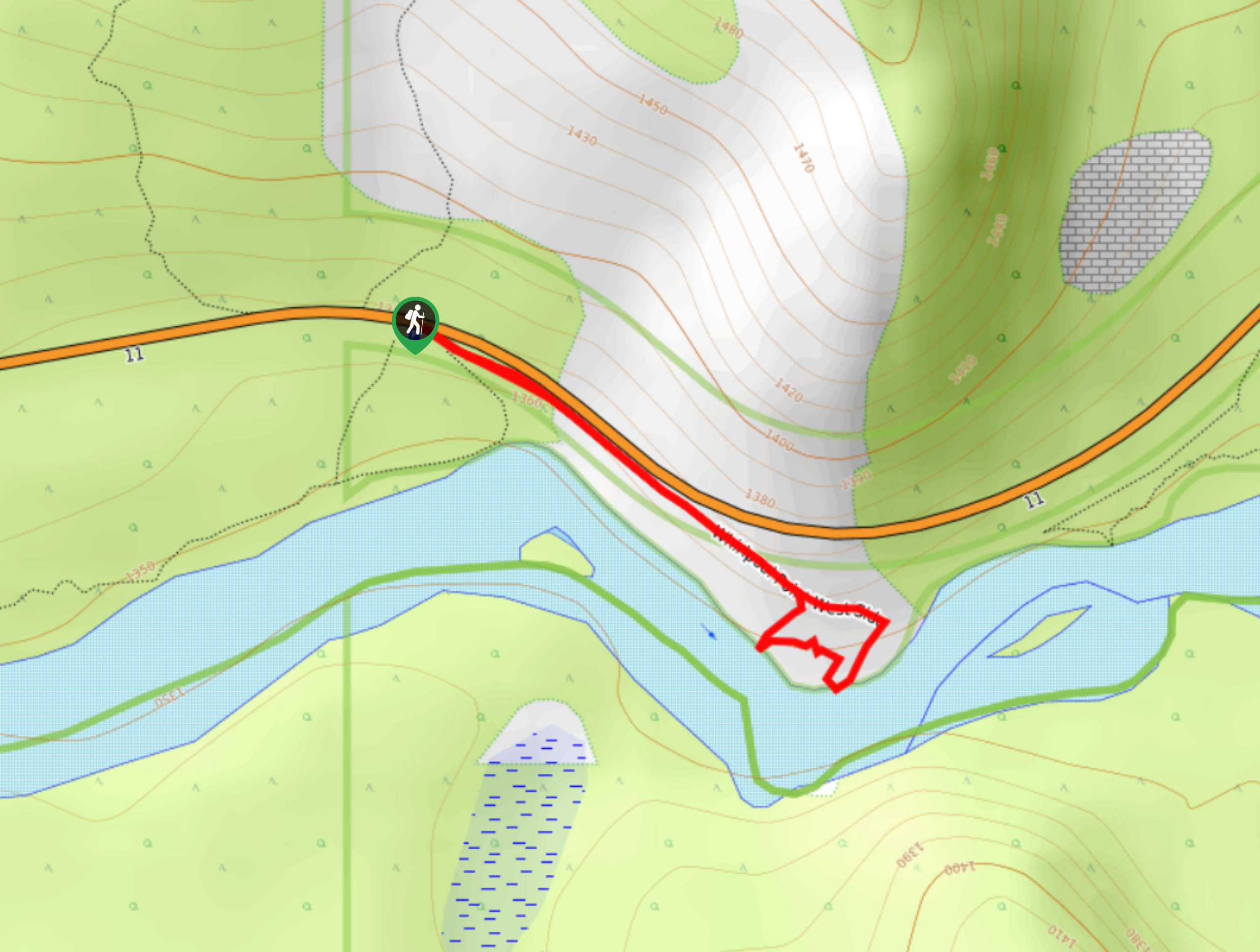
Tershishner Falls trail begins at the parking area along Tershishner Creek. You will begin just north of the easternmost edge of Abraham Lake, which is popular for campers. Follow the trail eastbound parallel to the highway before veering north up Tershishner Creek. The trail will lead you up the creek directly to the falls. Return the way you came.
Similar hikes to the Tershishner Falls hike
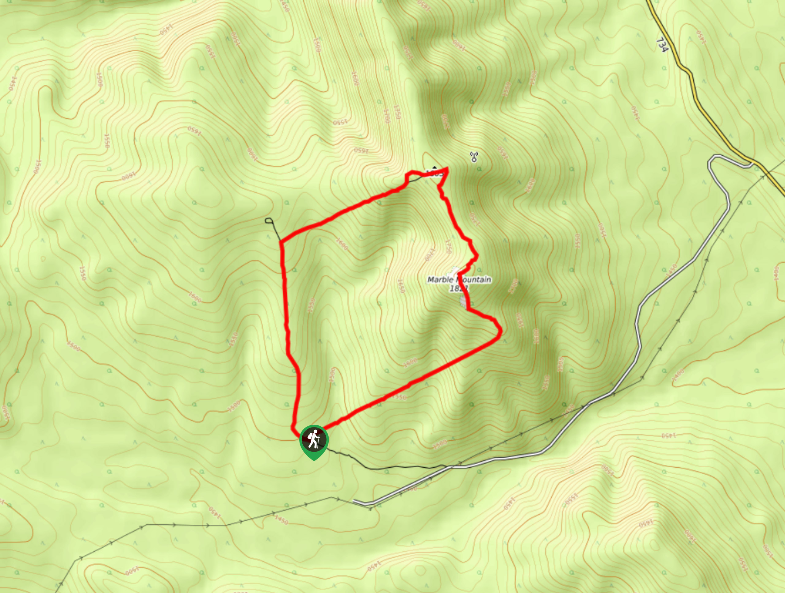
Marble Mountain Hike
Getting to the Marble Mountain trailhead can be tricky and out of the way, but this remote trail is sure…
Paula’s Ridge Hike
Paula’s Ridge Hike is just east of Mount Abraham and offers incredible views of Abraham Lake. If you are looking…
Whirlpool Point
The hike to Whirlpool Point is a beautiful stroll up the North Saskatchewan River. The trail is close to Saskatchewan…
Comments